Elevation of Talladega Township, AR, USA
Location: United States > Arkansas > Jefferson County >
Longitude: -92.125385
Latitude: 34.1126293
Elevation: 72m / 236feet
Barometric Pressure: 100KPa
Elevation Map:
Satellite Map:
Related Photos:
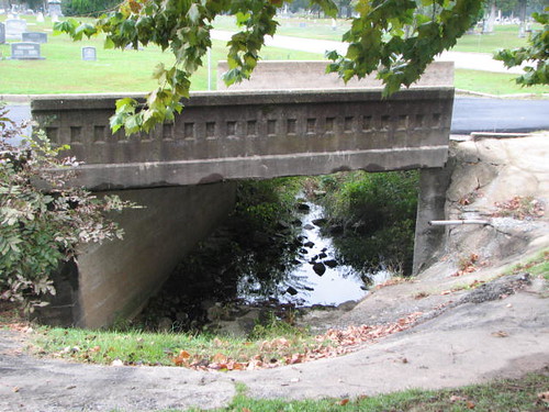
Hazel St Bridge-Side View
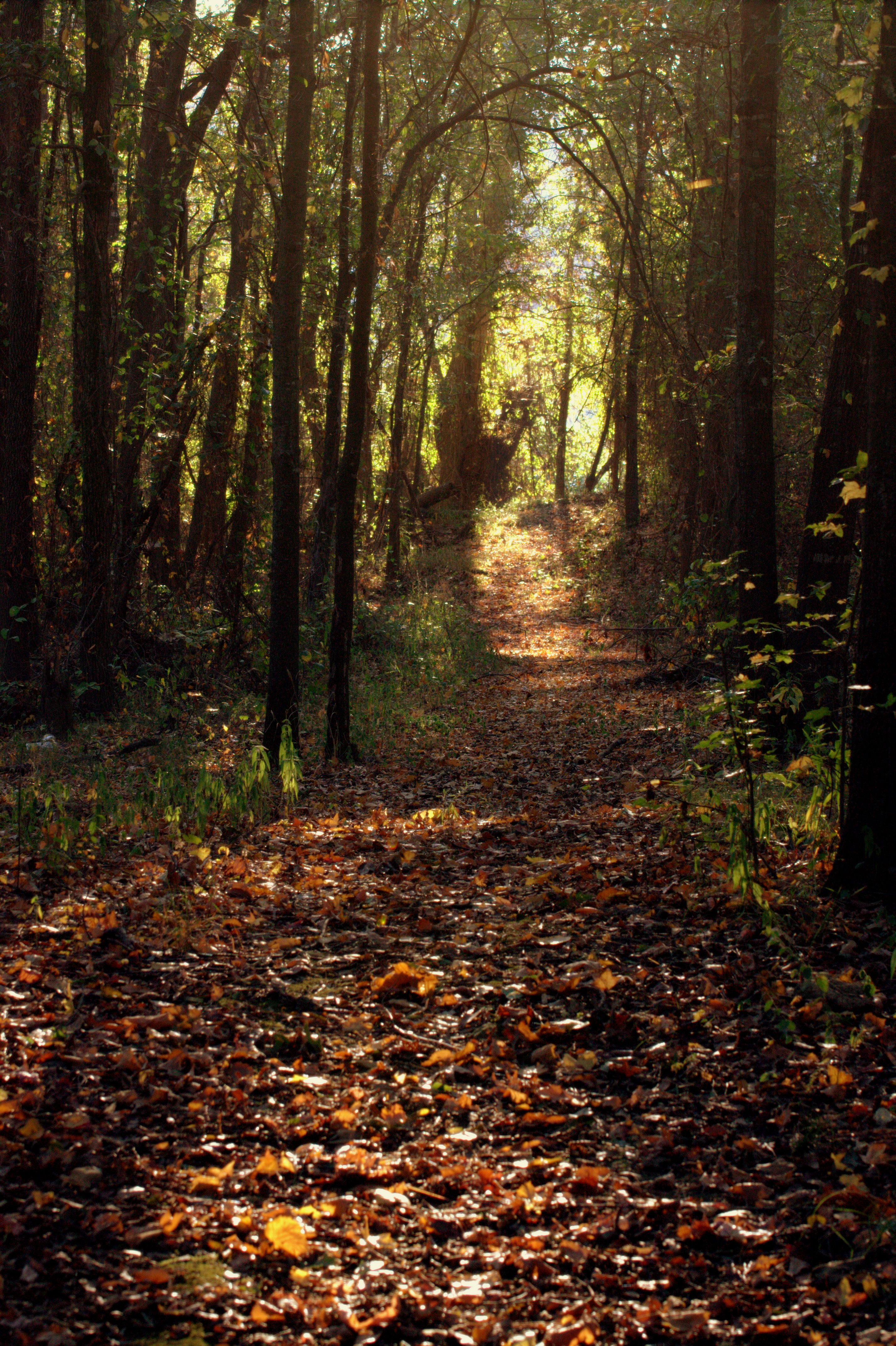
Follow The Path

Golden Awaking

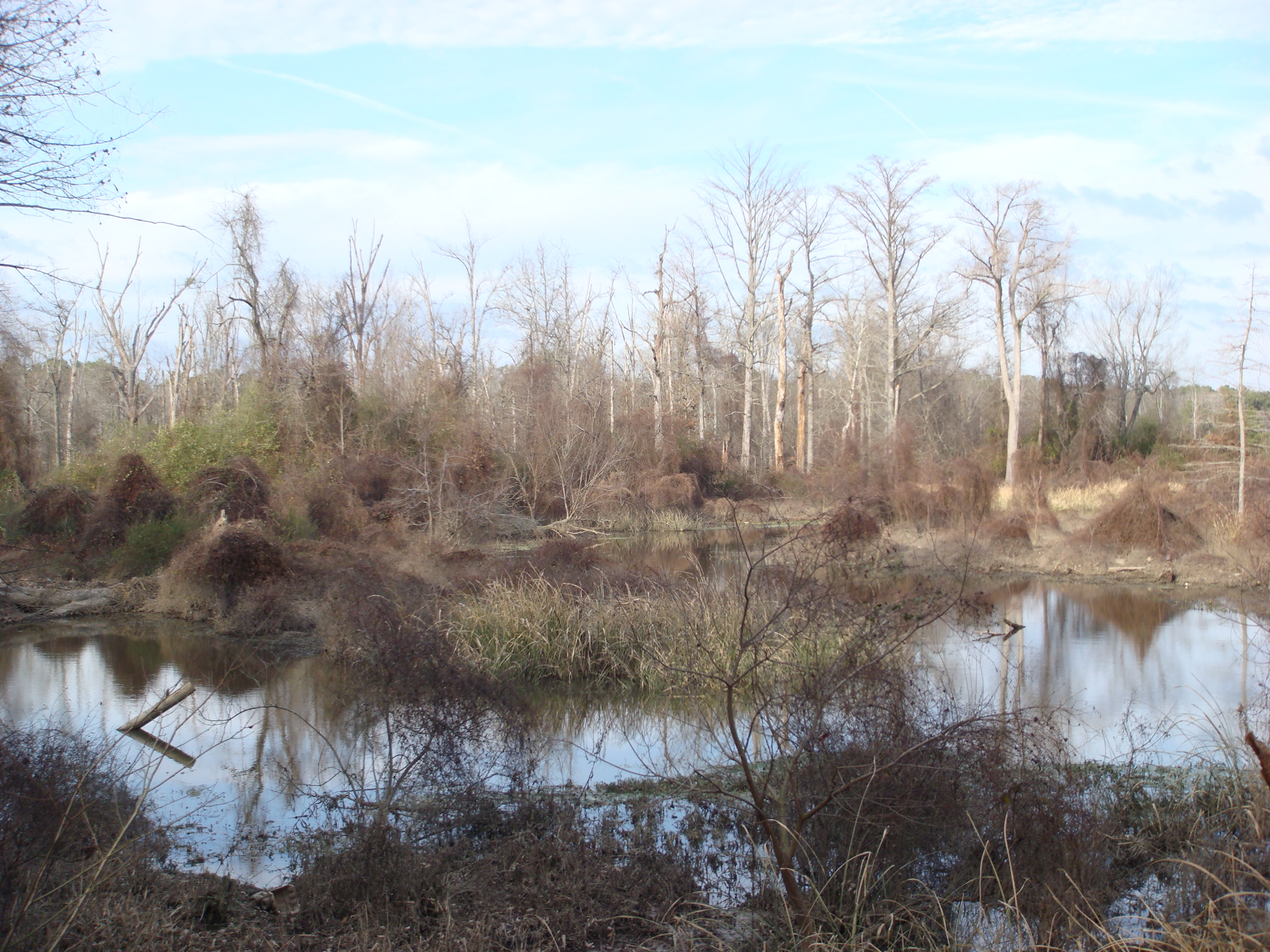
Bartholomew Reflections
The Bayou
Untitled 100
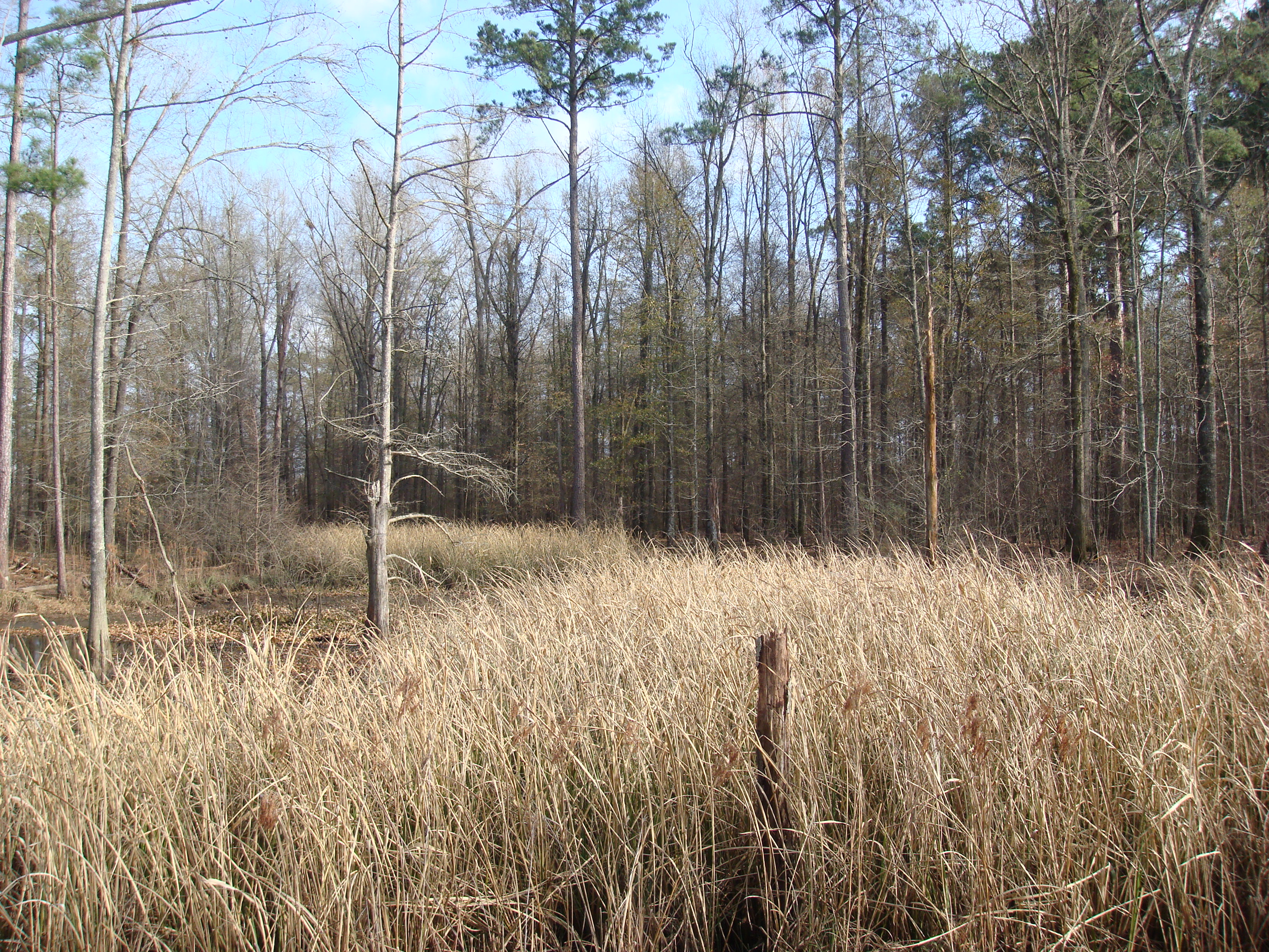
grass in the Bayou
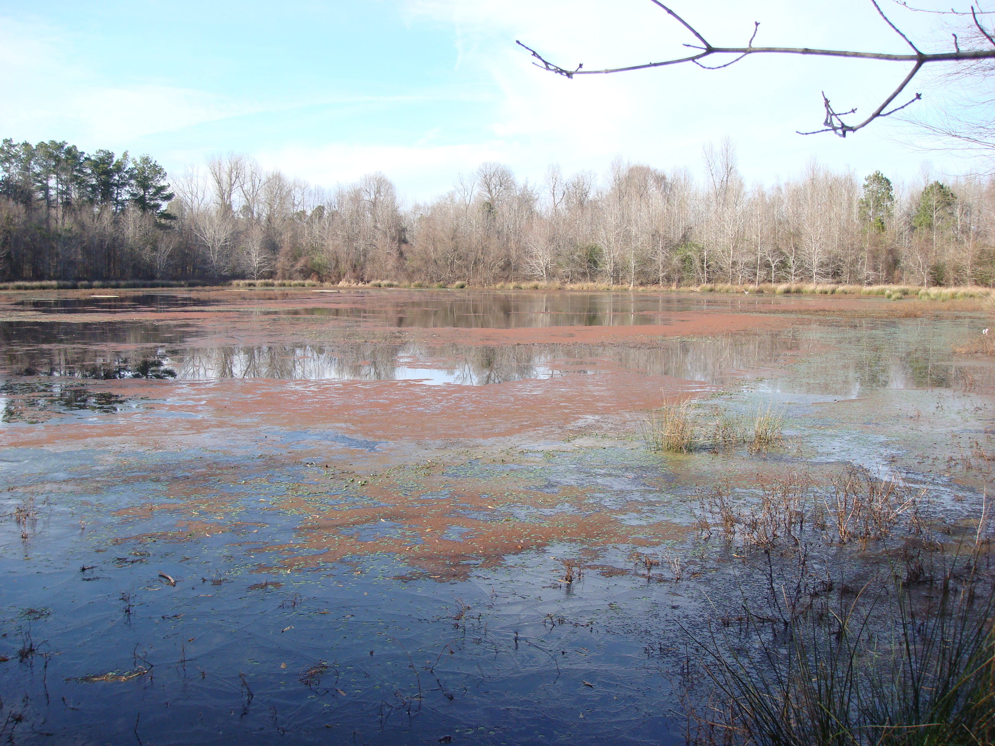
A Little pond
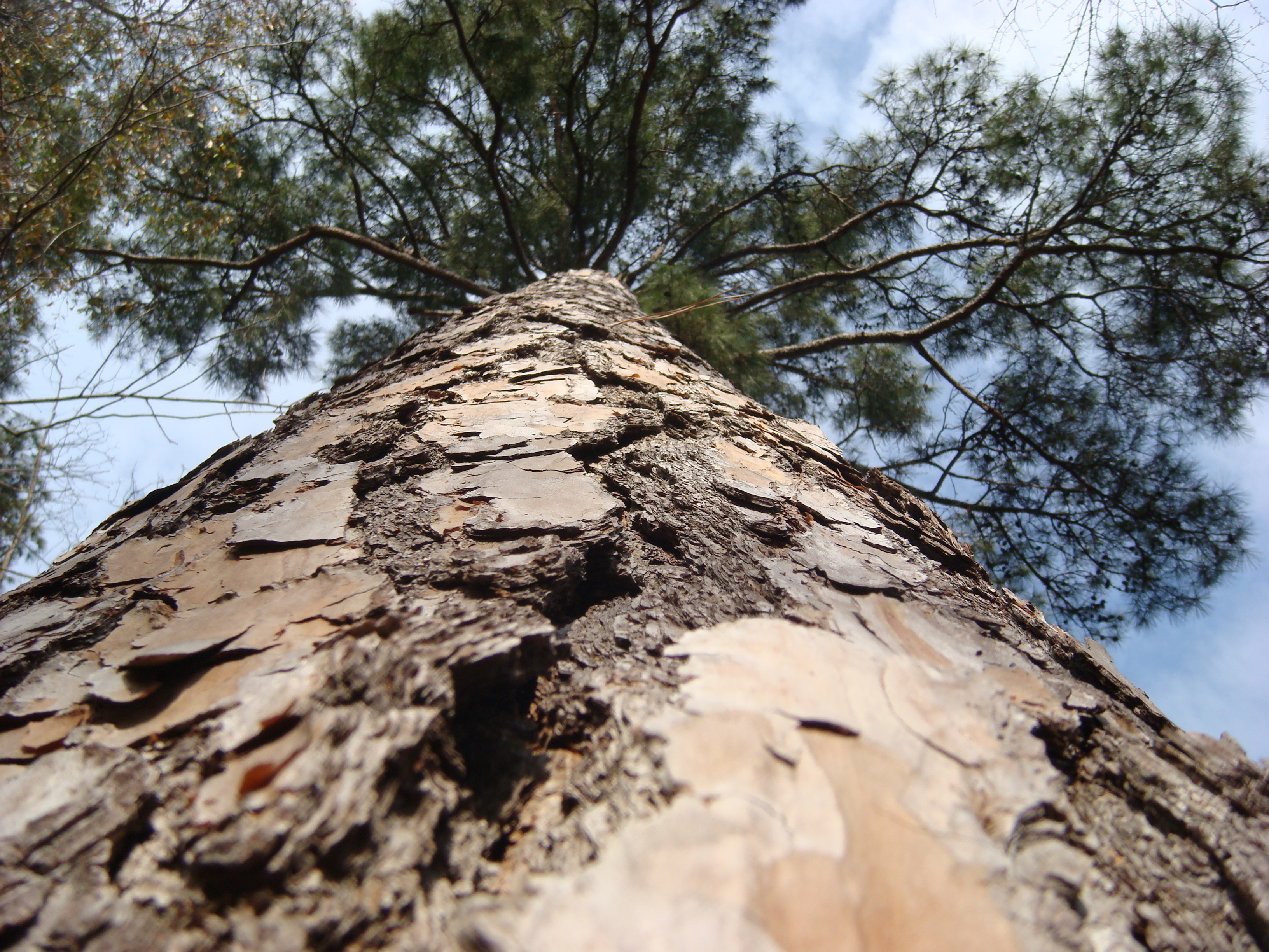
Cool angle of a Big Pine tree

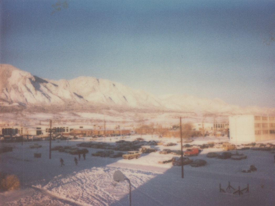
Pine Bluff Sky
Topographic Map of Talladega Township, AR, USA
Find elevation by address:

Places in Talladega Township, AR, USA:
Places near Talladega Township, AR, USA:
AR-54, Pine Bluff, AR, USA
7416 Camden Cutoff
8518 Wildcat Dr
Niven Township
Sulphur Springs Rd, Pine Bluff, AR, USA
Sorrells Rd, Pine Bluff, AR, USA
Sulphur Springs Rd, Pine Bluff, AR, USA
Rodgers Rd, Rison, AR, USA
Spring Township
Mayfield Drive
Bowman Township
6501 S Hazel St
2914 S Catalpa St
W 7th Ave, Pine Bluff, AR, USA
Super 1 Foods
5000 Us-63 Bus
5000 Us-63 Bus
4800 Us-63 Bus
4500 S Olive St
4100 Us-63 Bus
Recent Searches:
- Elevation of Corso Fratelli Cairoli, 35, Macerata MC, Italy
- Elevation of Tallevast Rd, Sarasota, FL, USA
- Elevation of 4th St E, Sonoma, CA, USA
- Elevation of Black Hollow Rd, Pennsdale, PA, USA
- Elevation of Oakland Ave, Williamsport, PA, USA
- Elevation of Pedrógão Grande, Portugal
- Elevation of Klee Dr, Martinsburg, WV, USA
- Elevation of Via Roma, Pieranica CR, Italy
- Elevation of Tavkvetili Mountain, Georgia
- Elevation of Hartfords Bluff Cir, Mt Pleasant, SC, USA