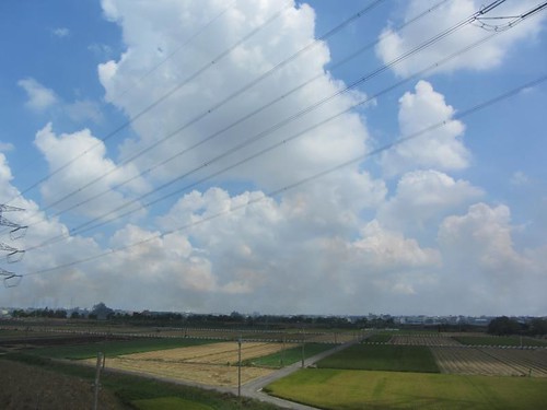
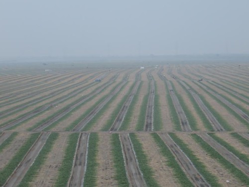
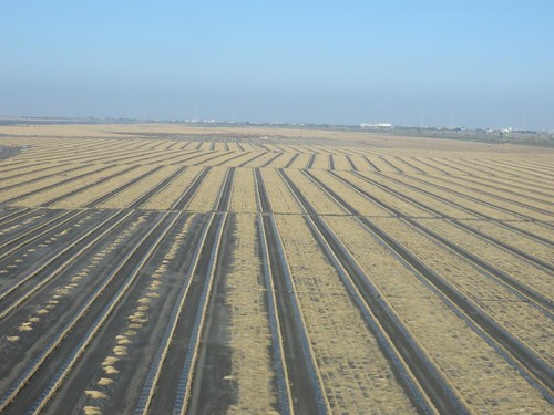
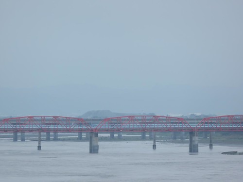
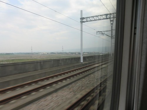
Elevation of Taiwan, Yunlin County, Citong Township, 76
Location: Taiwan > Yunlin County > Citong Township > 四合村 > 后埔 >
Longitude: 120.528976
Latitude: 23.7766269
Elevation: 48m / 157feet
Barometric Pressure: 101KPa
Related Photos:
Topographic Map of Taiwan, Yunlin County, Citong Township, 76
Find elevation by address:

Places near Taiwan, Yunlin County, Citong Township, 76:
后埔
四合村
Citong Township
No., Raoping Rd, Citong Township, Yunlin County, Taiwan
興貴村
興南
饒平村
Taiwan, Yunlin County, Citong Township, 48
No. 53, Heping Rd, Citong Township, Yunlin County, Taiwan
潮洋村
義和村
67-2
湖內
柑園村
90-36
大美
69-3
1-7
五華村
No. 67, Chang'an Rd, Douliu City, Yunlin County, Taiwan
Recent Searches:
- Elevation of Corso Fratelli Cairoli, 35, Macerata MC, Italy
- Elevation of Tallevast Rd, Sarasota, FL, USA
- Elevation of 4th St E, Sonoma, CA, USA
- Elevation of Black Hollow Rd, Pennsdale, PA, USA
- Elevation of Oakland Ave, Williamsport, PA, USA
- Elevation of Pedrógão Grande, Portugal
- Elevation of Klee Dr, Martinsburg, WV, USA
- Elevation of Via Roma, Pieranica CR, Italy
- Elevation of Tavkvetili Mountain, Georgia
- Elevation of Hartfords Bluff Cir, Mt Pleasant, SC, USA

