Elevation of Taiwan, 雲林縣莿桐鄉興貴村
Location: Taiwan > Yunlin County > Citong Township >
Longitude: 120.519273
Latitude: 23.7679308
Elevation: 44m / 144feet
Barometric Pressure: 101KPa
Elevation Map:
Satellite Map:
Related Photos:

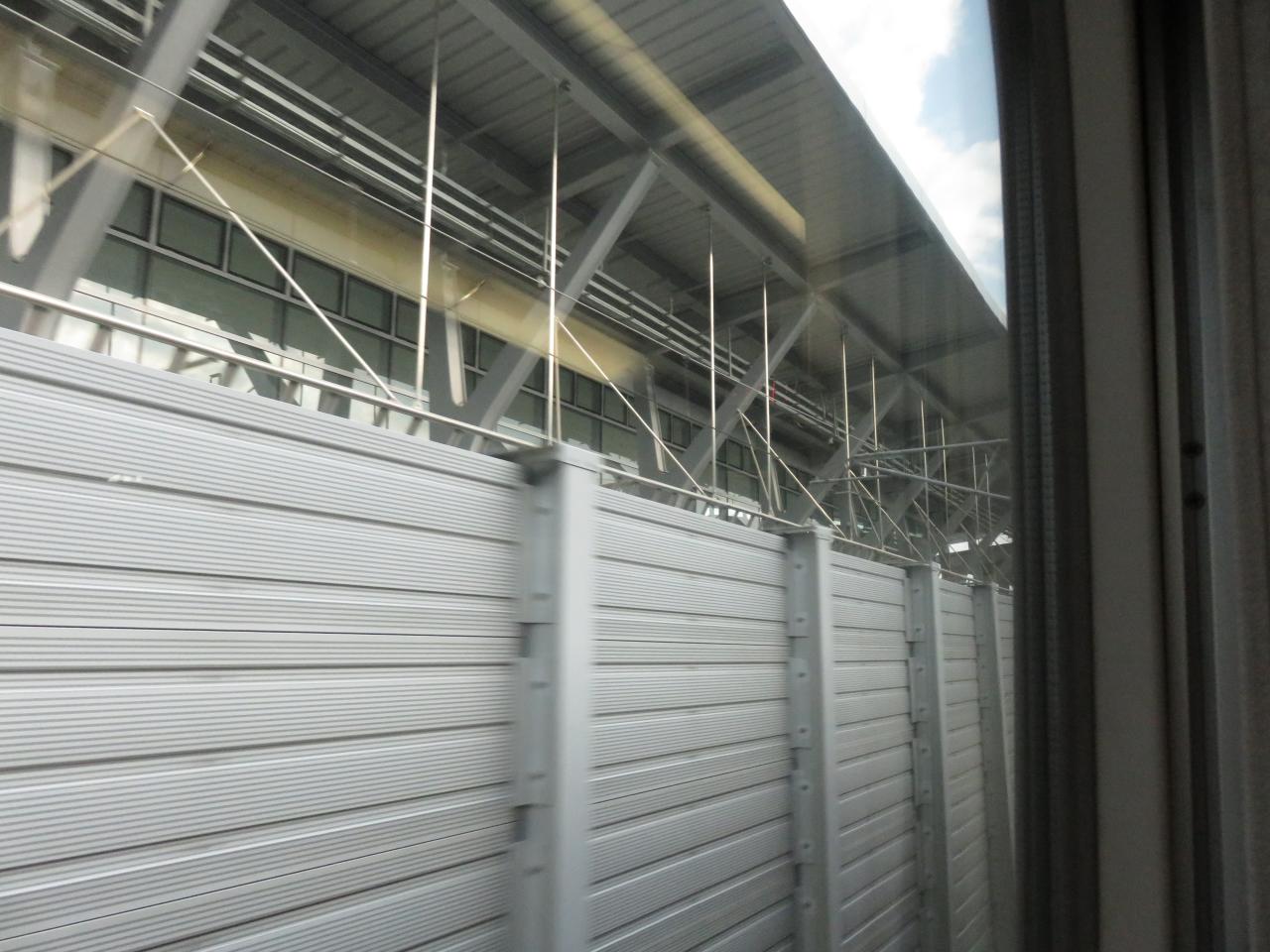
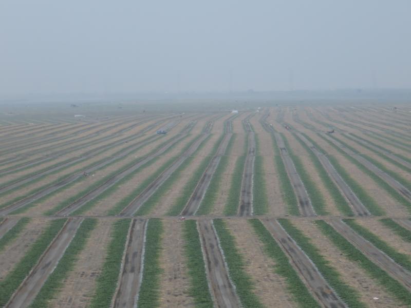
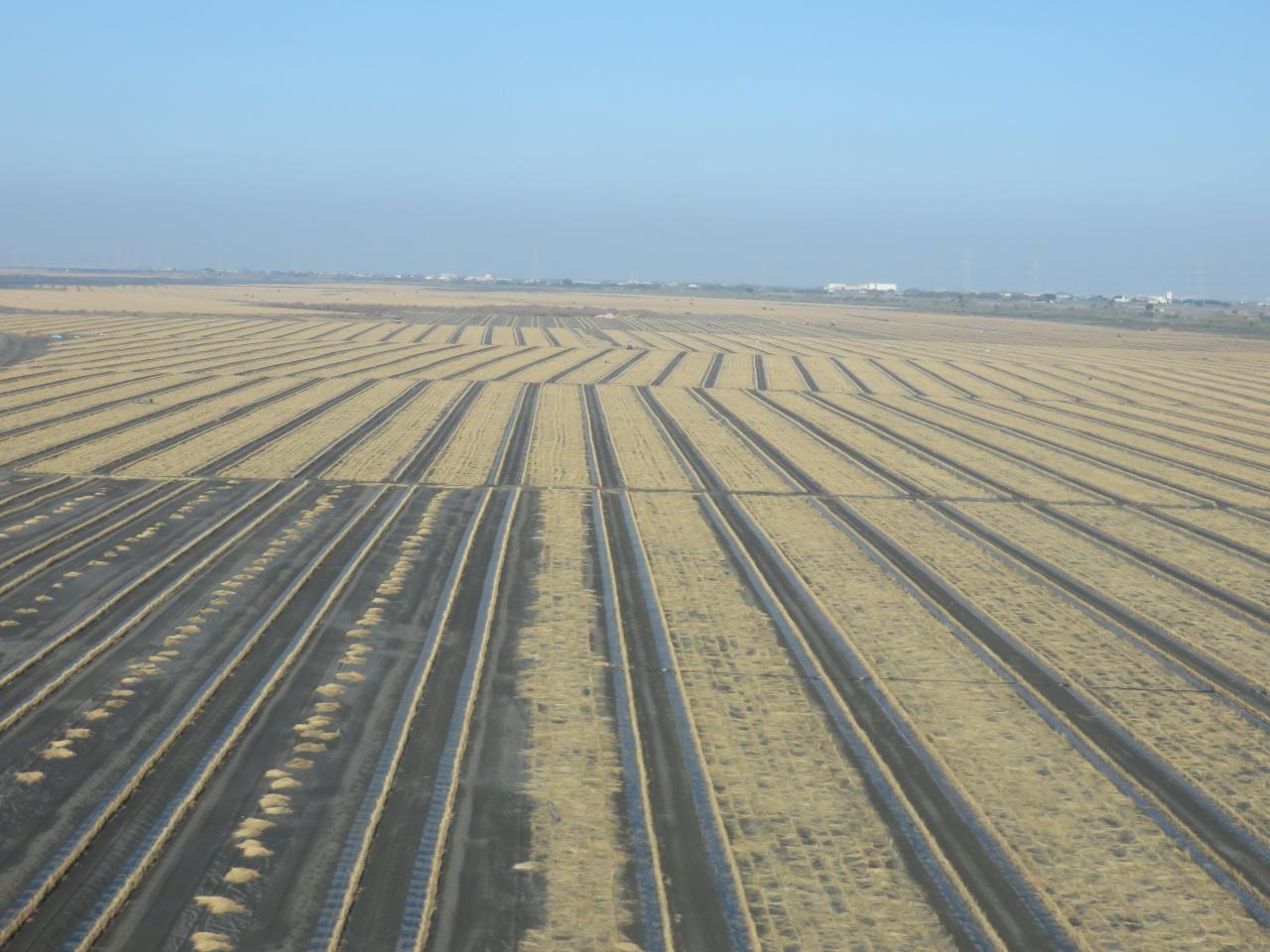
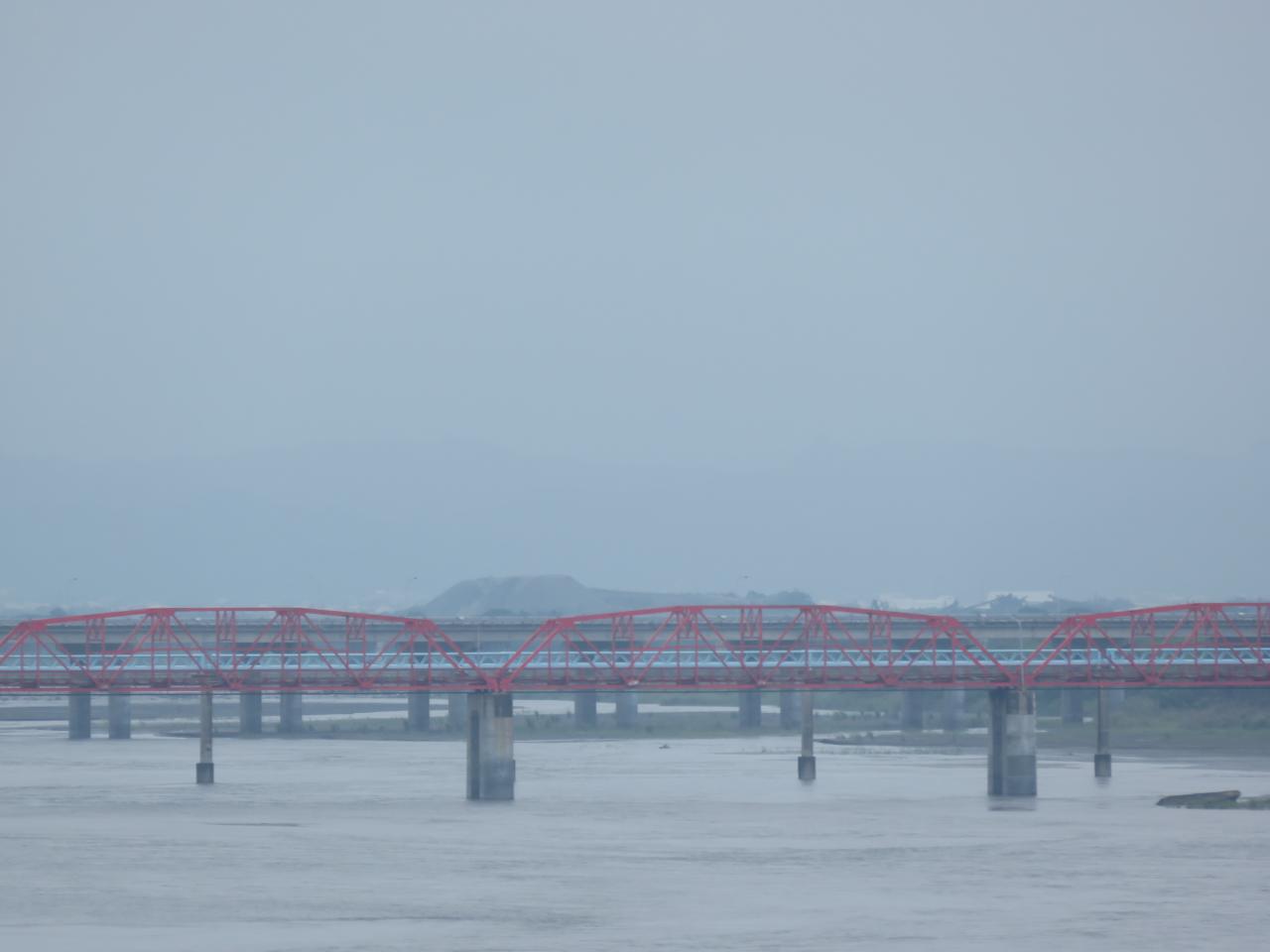
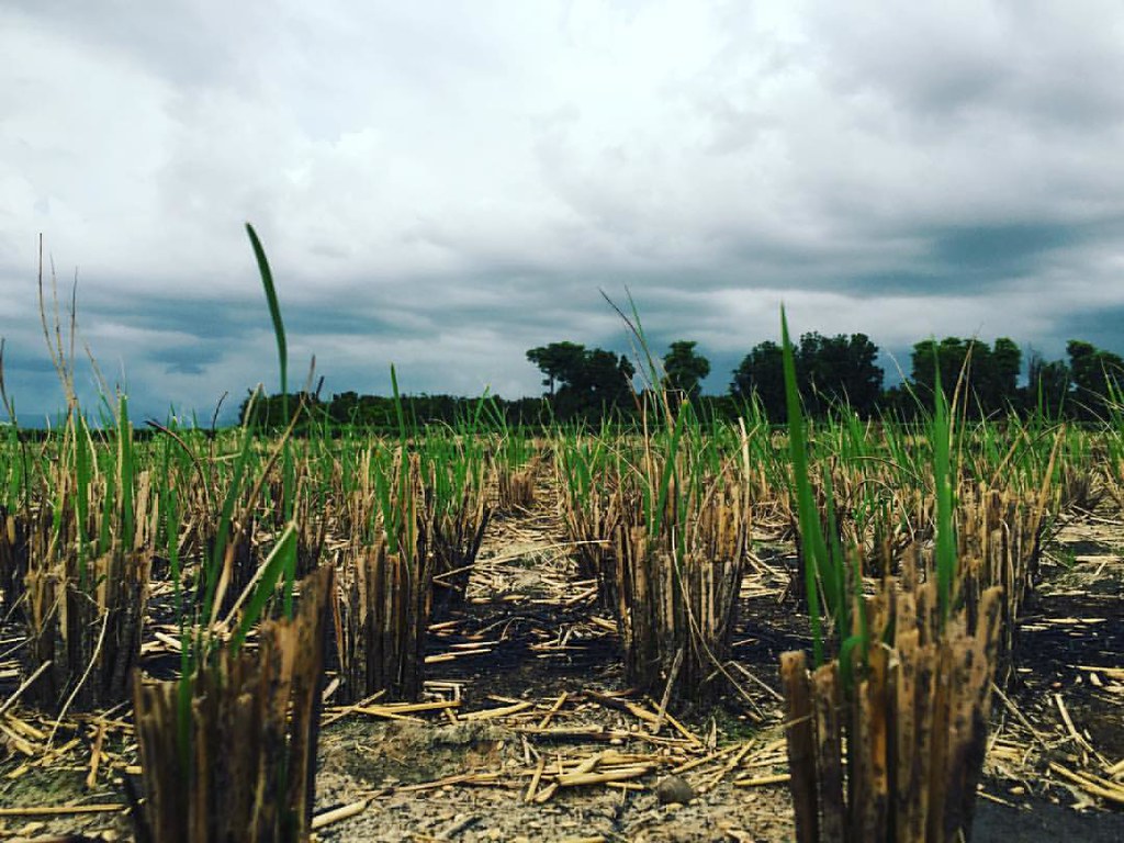
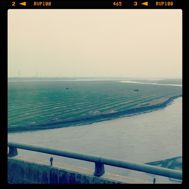
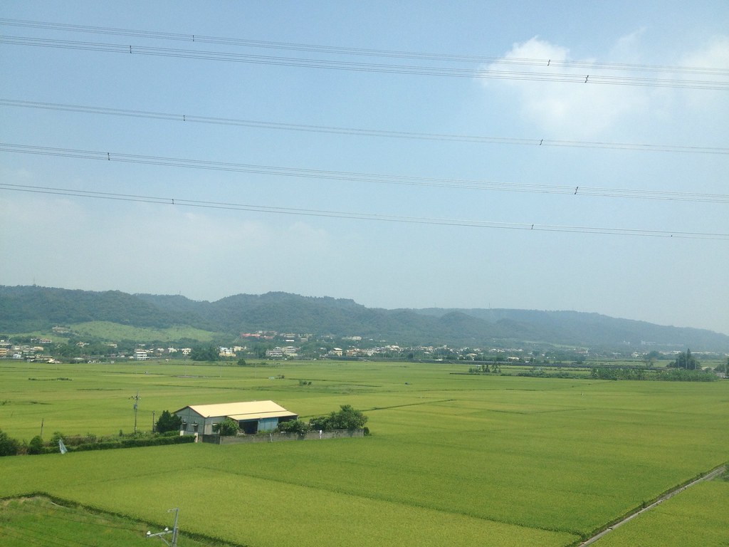
View From THSR Window

View From THSR Window

View From THSR Window

View From THSR Window

View From THSR Window

View From THSR Window
View From THSR Window

View From THSR Window
View From THSR Window

View From THSR Window
View From THSR Window

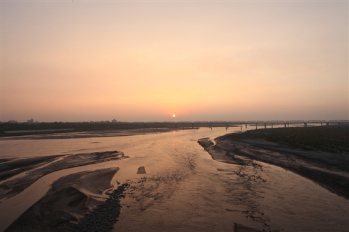
Sunset (View From THSR Window)

View From THSR Window

View From THSR Window

View From THSR Window
View From THSR Window

View From THSR Window

View From THSR Window

View From THSR Window

View From THSR Window

View From THSR Window
暴風雨前的寧靜~!

Camera Roll-38

賞花4

county highway no.139乙

老家附近‧夕陽

Exercise time #golf #nantou
IMG_0198.JPG

Camera Roll-37
員工旅遊ing
On My Way

2012-04-27 18.08.43
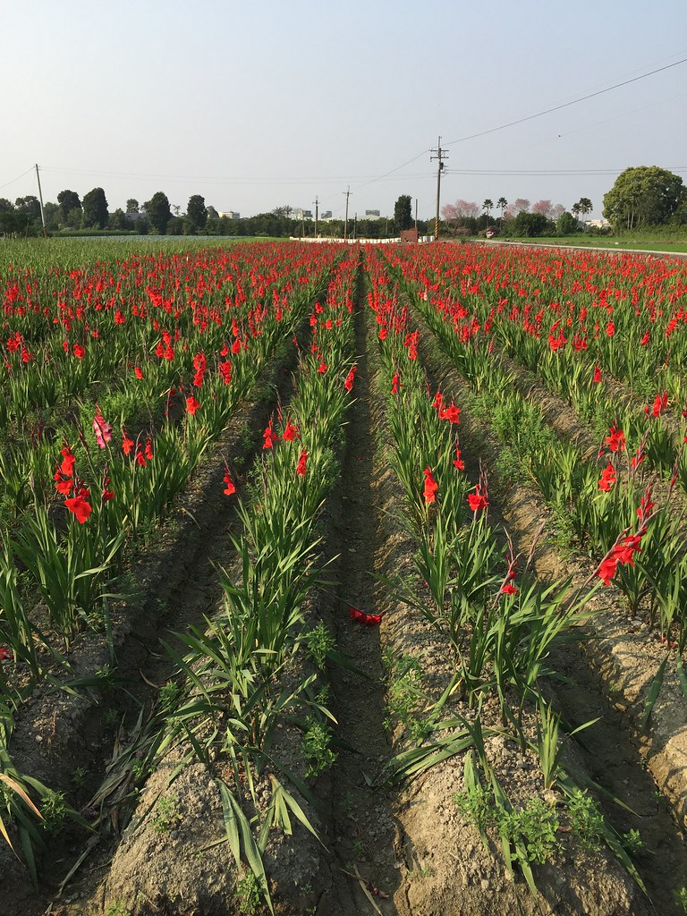
劍蘭

默默地在心中期待什麼?就算得到了又能如何?

After Sunset
Topographic Map of Taiwan, 雲林縣莿桐鄉興貴村
Find elevation by address:

Places in Taiwan, 雲林縣莿桐鄉興貴村:
Places near Taiwan, 雲林縣莿桐鄉興貴村:
興南
Taiwan, Yunlin County, Citong Township, 48
No., Raoping Rd, Citong Township, Yunlin County, Taiwan
Taiwan, Yunlin County, Citong Township, 76
后埔
No. 53, Heping Rd, Citong Township, Yunlin County, Taiwan
饒平村
Citong Township
四合村
義和村
90-36
大美
1-7
甘厝村
大美村
116-2
No. 67, Chang'an Rd, Douliu City, Yunlin County, Taiwan
三和
潮洋村
長安里
Recent Searches:
- Elevation of Corso Fratelli Cairoli, 35, Macerata MC, Italy
- Elevation of Tallevast Rd, Sarasota, FL, USA
- Elevation of 4th St E, Sonoma, CA, USA
- Elevation of Black Hollow Rd, Pennsdale, PA, USA
- Elevation of Oakland Ave, Williamsport, PA, USA
- Elevation of Pedrógão Grande, Portugal
- Elevation of Klee Dr, Martinsburg, WV, USA
- Elevation of Via Roma, Pieranica CR, Italy
- Elevation of Tavkvetili Mountain, Georgia
- Elevation of Hartfords Bluff Cir, Mt Pleasant, SC, USA