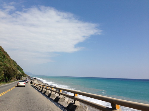
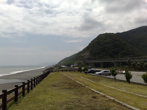
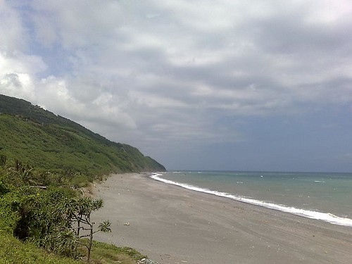
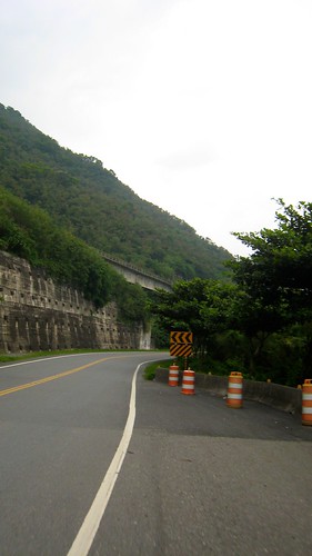
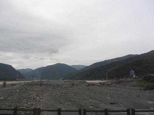
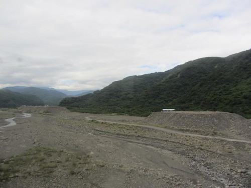
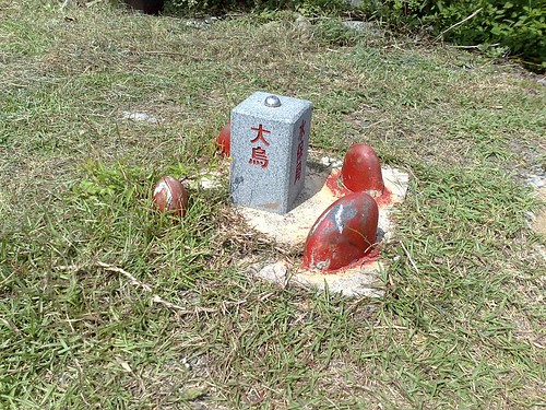
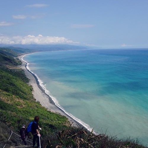
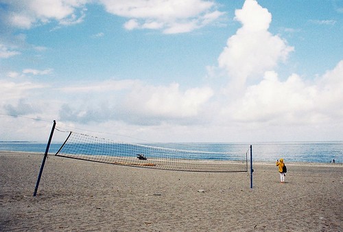
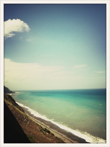
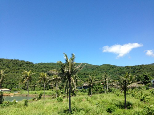
Elevation of Taiwan, 台東縣大武鄉和平
Location: Taiwan > Taitung County > Dawu Township > 大武村 >
Longitude: 120.901394
Latitude: 22.366988
Elevation: 51m / 167feet
Barometric Pressure: 101KPa
Related Photos:
Topographic Map of Taiwan, 台東縣大武鄉和平
Find elevation by address:

Places in Taiwan, 台東縣大武鄉和平:
Places near Taiwan, 台東縣大武鄉和平:
Taiwan, Taitung County, Dawu Township, 69
Taiwan, Taitung County, Dawu Township, 12
大武村
南嘉
Taiwan, Taitung County, Dawu Township, 26
Dawu Township
No. 2, Xinhua Industry Rd, Daren Township, Taitung County, Taiwan
No. 14, Xinhua Industry Rd, Daren Township, Taitung County, Taiwan
No. 16, Nanhui Rd, Dawu Township, Taitung County, Taiwan
大竹村
新化村
Daren Township
Taiwan, Taitung County, Daren Township, 土坂路10號
No. 53, Tuban Industry Rd, Daren Township, Taitung County, Taiwan
土坂村
士文村
力里村
Chunri Township
No. 64, Shiwen Rd, Chunri Township, Pingtung County, Taiwan
Taiwan, Pingtung County, Chunri Township, 卡法路號
Recent Searches:
- Elevation of Corso Fratelli Cairoli, 35, Macerata MC, Italy
- Elevation of Tallevast Rd, Sarasota, FL, USA
- Elevation of 4th St E, Sonoma, CA, USA
- Elevation of Black Hollow Rd, Pennsdale, PA, USA
- Elevation of Oakland Ave, Williamsport, PA, USA
- Elevation of Pedrógão Grande, Portugal
- Elevation of Klee Dr, Martinsburg, WV, USA
- Elevation of Via Roma, Pieranica CR, Italy
- Elevation of Tavkvetili Mountain, Georgia
- Elevation of Hartfords Bluff Cir, Mt Pleasant, SC, USA
