Elevation of Taiwan, 台東縣大武鄉大武村
Location: Taiwan > Taitung County > Dawu Township >
Longitude: 120.881473
Latitude: 22.3581883
Elevation: 101m / 331feet
Barometric Pressure: 100KPa
Elevation Map:
Satellite Map:
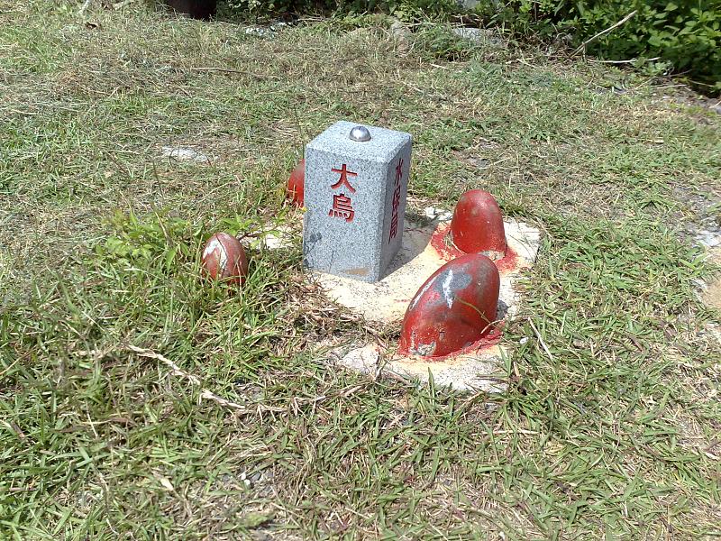
Related Photos:
View 2013 Rally Nippon in Taiwan 13
View 2013 Rally Nippon in Taiwan 12
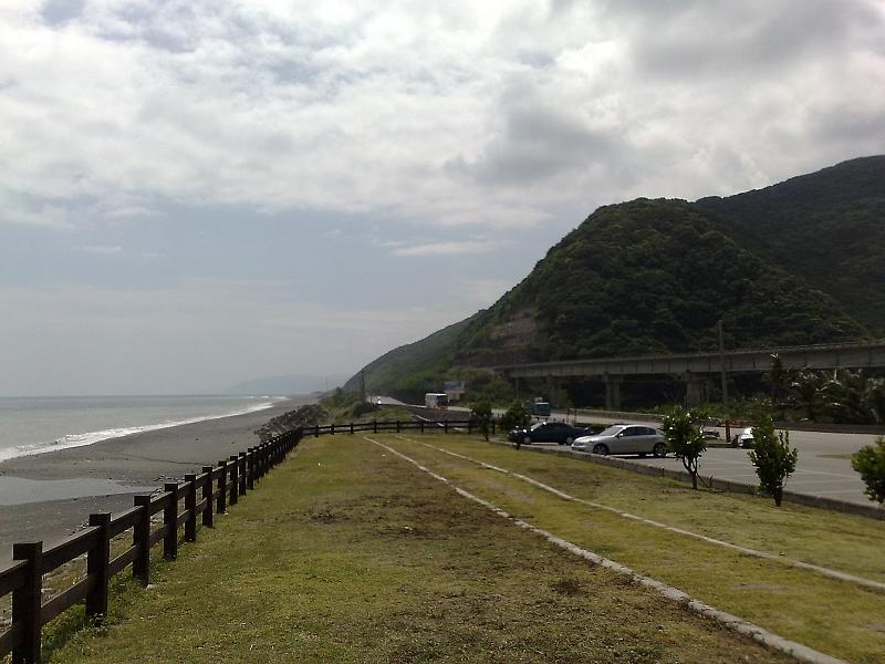
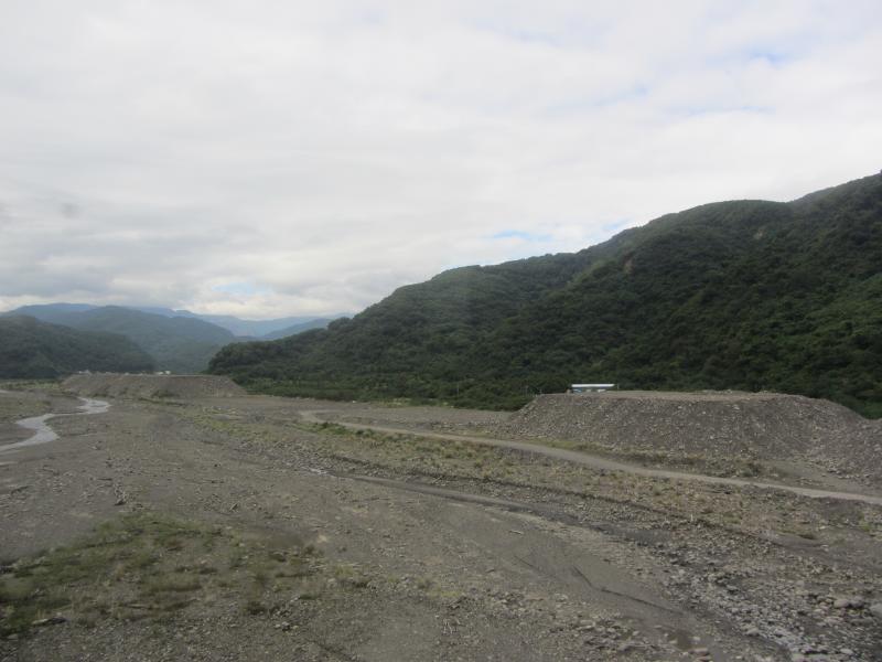
Daniao Scenic View Area
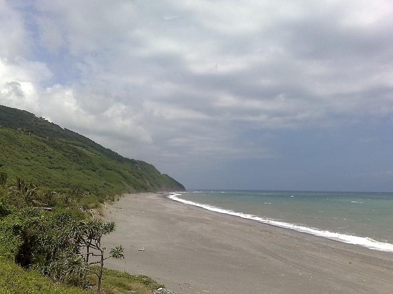
Daniao Scenic View Area

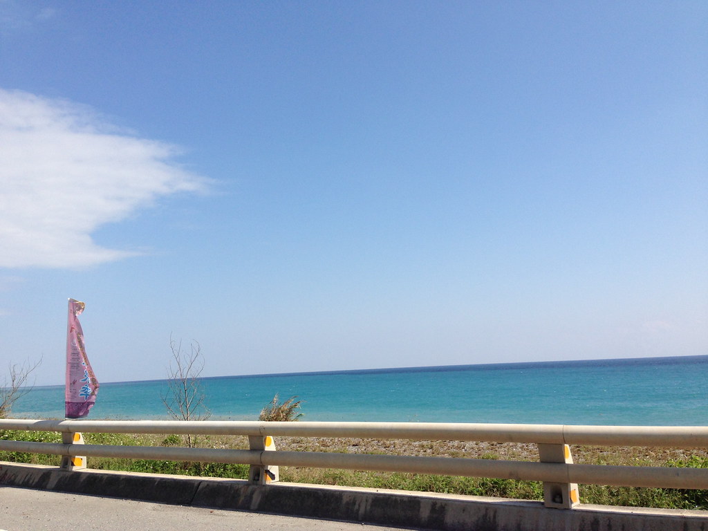
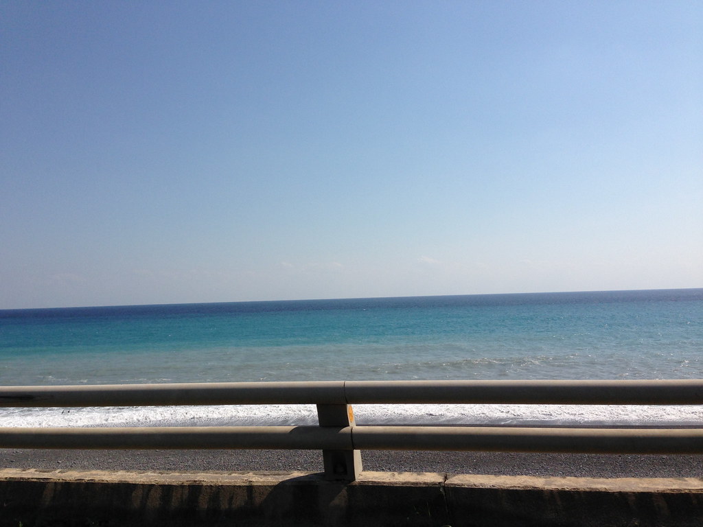
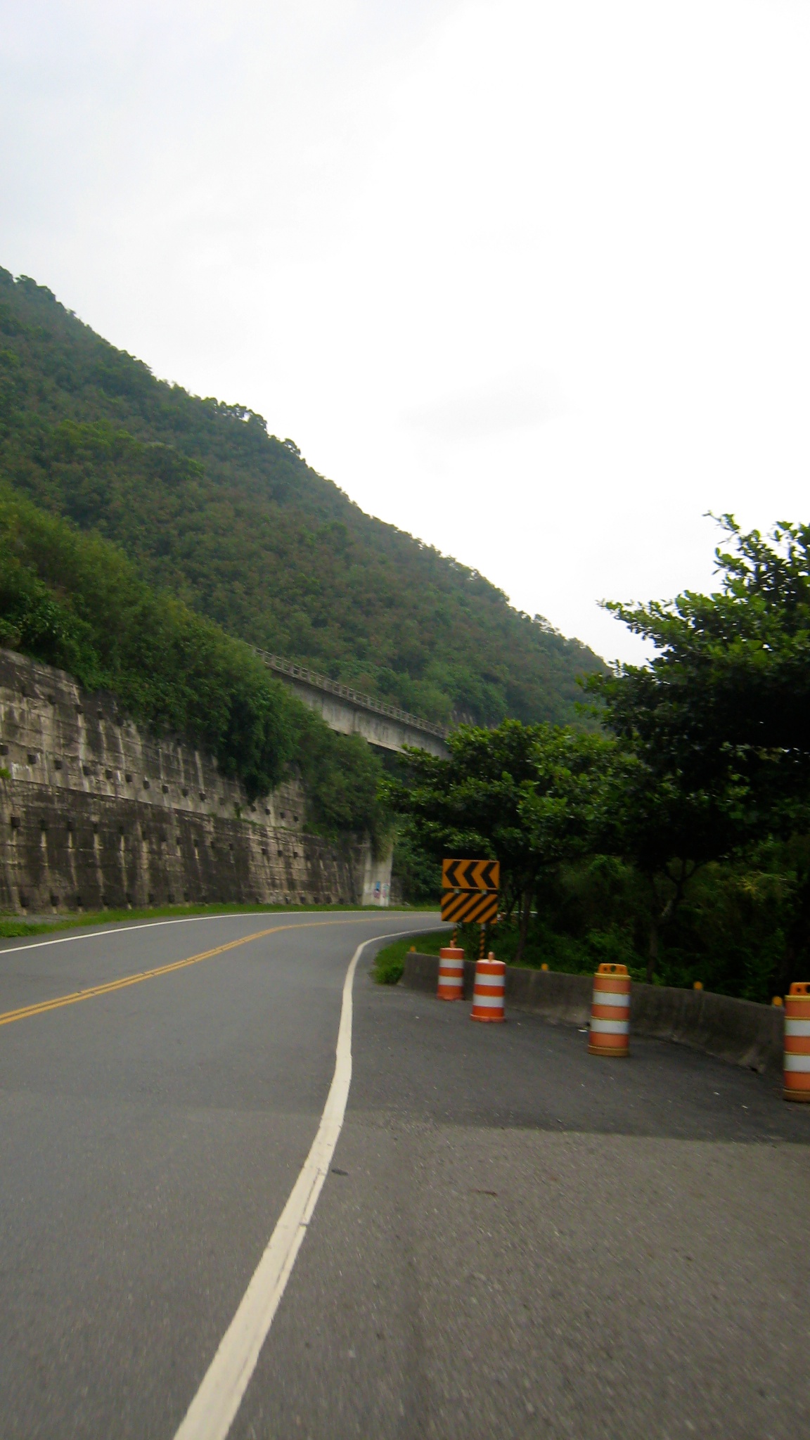
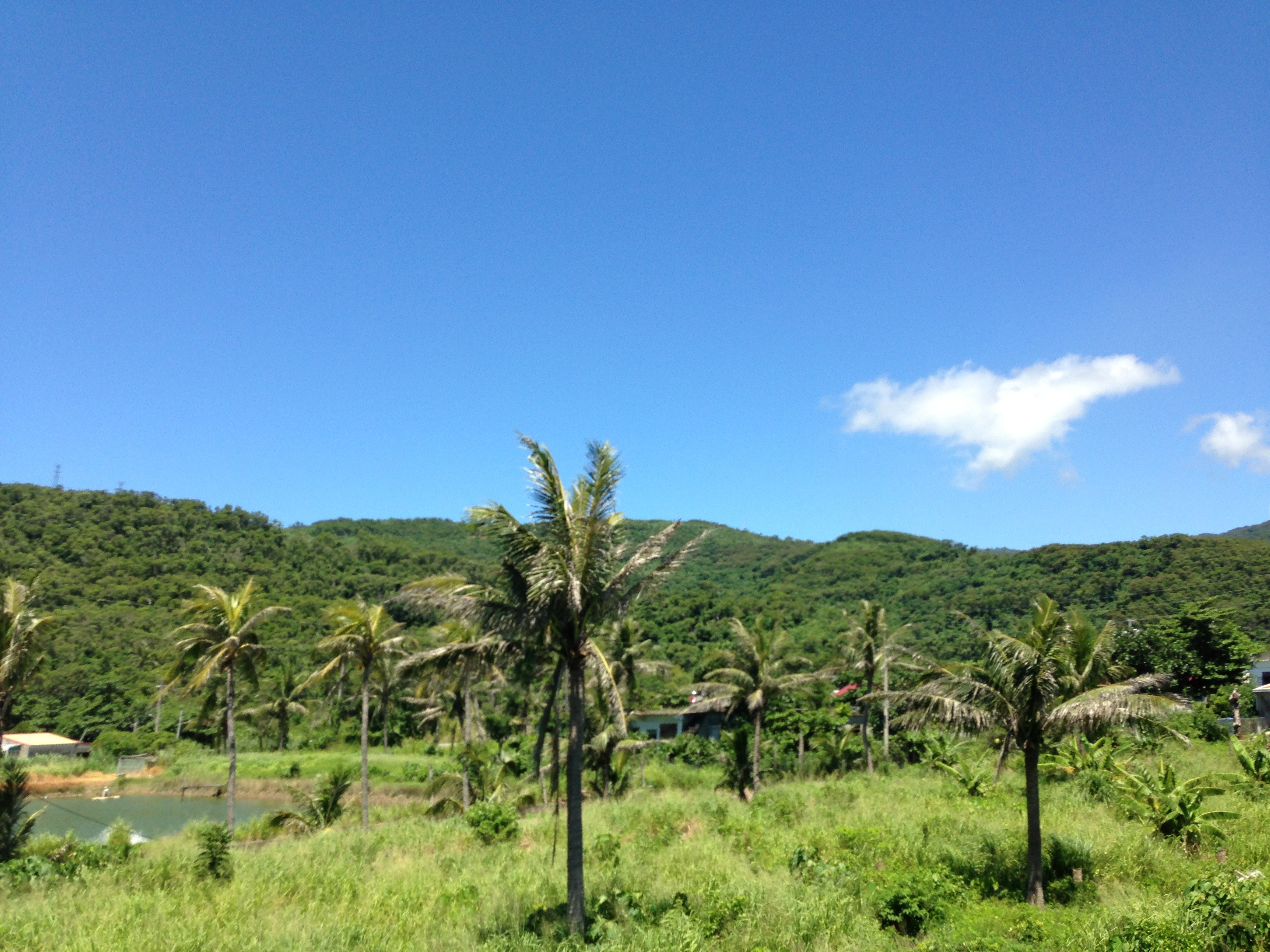
View Outside Train Window
View Outside Train Window
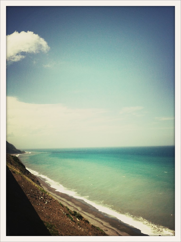
Daniao Scenic View Area

爬了四小時,看到絕世美景都值了。 #阿朗壹古道 #阿朗壹 #trail #walk #taiwan #taitung #pintung #igtaiwan #igtaitung #igers #ocean #sea #mountain #instagood #scene #view #greatview #ignature #igoutdoor #outdoor #nature

View Outside Train Window
台東大武台 9 線.上面的南迴鐵路 view 應該不錯

View Outside Train Window

Alangyi Old Trail

咕嚕咕嚕

踏上沙灘,做著同樣的事

20150228-13-36-32-P2285901
DSC06062.JPG
2012 4月環島日記

DSC_1477.NEF

早安,台東

2013環島5勇士-Day 7
2013環島5勇士-Day 7

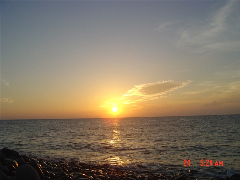
好心情 天好藍
20120127-014
Provincial Highway 9 (South Round Highway)
Topographic Map of Taiwan, 台東縣大武鄉大武村
Find elevation by address:

Places in Taiwan, 台東縣大武鄉大武村:
Places near Taiwan, 台東縣大武鄉大武村:
Taiwan, Taitung County, Dawu Township, 69
和平
南嘉
Taiwan, Taitung County, Dawu Township, 26
Taiwan, Taitung County, Dawu Township, 12
No. 2, Xinhua Industry Rd, Daren Township, Taitung County, Taiwan
No. 14, Xinhua Industry Rd, Daren Township, Taitung County, Taiwan
Dawu Township
新化村
Daren Township
No. 16, Nanhui Rd, Dawu Township, Taitung County, Taiwan
大竹村
Taiwan, Taitung County, Daren Township, 土坂路10號
土坂村
No. 53, Tuban Industry Rd, Daren Township, Taitung County, Taiwan
士文村
力里村
Chunri Township
No. 64, Shiwen Rd, Chunri Township, Pingtung County, Taiwan
Taiwan, Pingtung County, Chunri Township, 卡法路號
Recent Searches:
- Elevation of Corso Fratelli Cairoli, 35, Macerata MC, Italy
- Elevation of Tallevast Rd, Sarasota, FL, USA
- Elevation of 4th St E, Sonoma, CA, USA
- Elevation of Black Hollow Rd, Pennsdale, PA, USA
- Elevation of Oakland Ave, Williamsport, PA, USA
- Elevation of Pedrógão Grande, Portugal
- Elevation of Klee Dr, Martinsburg, WV, USA
- Elevation of Via Roma, Pieranica CR, Italy
- Elevation of Tavkvetili Mountain, Georgia
- Elevation of Hartfords Bluff Cir, Mt Pleasant, SC, USA