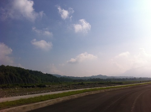
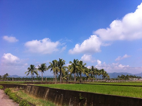
Elevation of Taiwan, 高雄市美濃區合和里
Location: Taiwan > Kaohsiung City > Meinong District >
Longitude: 120.548057
Latitude: 22.8886721
Elevation: 49m / 161feet
Barometric Pressure: 101KPa
Related Photos:
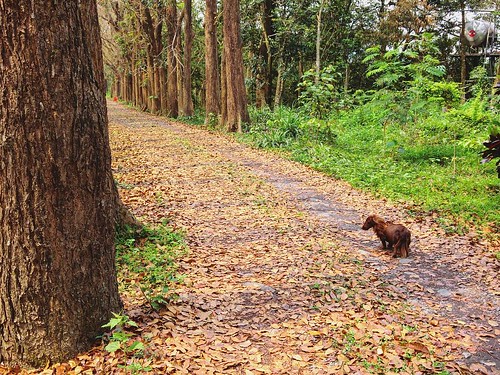
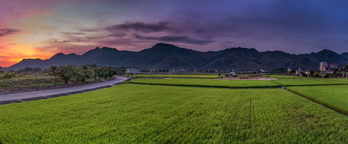
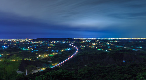
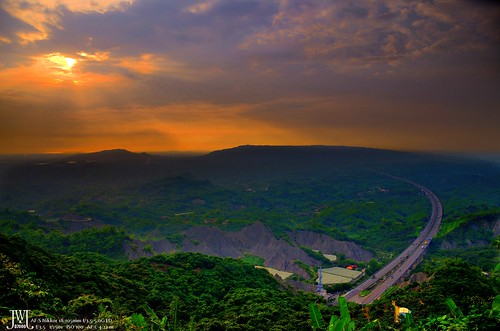
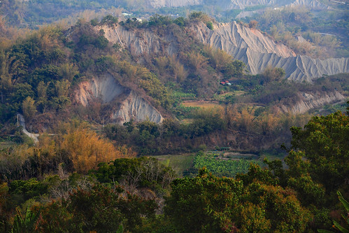
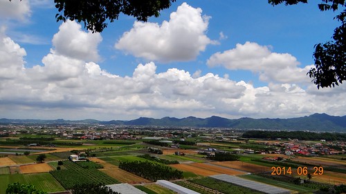
Somtimes you gotta seek and figure out the answer to life by yourself ???? #Kaohsiung #Taiwan #Meilong #view #scenery #dope #fun #party #landscape #cute #pet #dog #photography
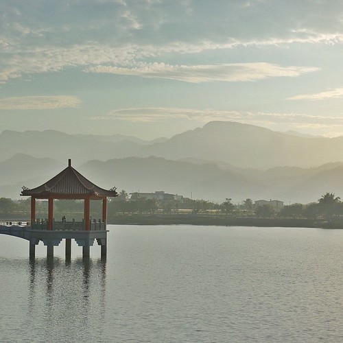
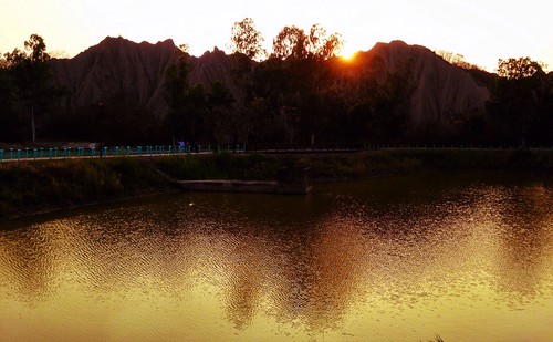
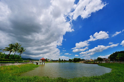
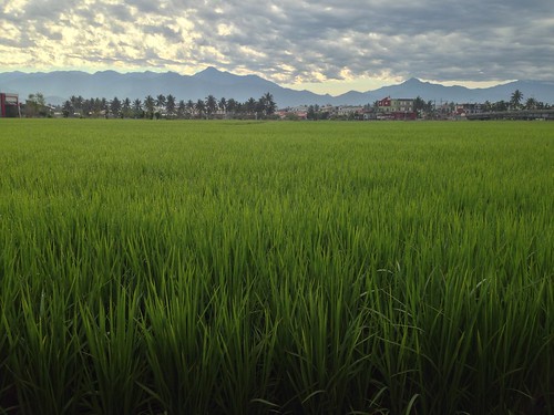
| Peace & Serenity | This is another photo I took during a trip to the tiny town of Meinong (in southern Taiwan) where I woke before daybreak to catch the sunrise from this lake/reservoir. The morning air was still, humid, and muggy; the sky was hazy
Topographic Map of Taiwan, 高雄市美濃區合和里
Find elevation by address:

Places in Taiwan, 高雄市美濃區合和里:
Places near Taiwan, 高雄市美濃區合和里:
Meinong District
No. 36, Meizhong Rd, Meinong District, Kaohsiung City, Taiwan
No. 34, Longshan St, Meinong District, Kaohsiung City, Taiwan
No. 47, Minquan Rd, Meinong District, Kaohsiung City, Taiwan
中壇里
龍山里
No. 23, Wugu St, Meinong District, Kaohsiung City, Taiwan
No. 23, Yonghua St, Meinong District, Kaohsiung City, Taiwan
No. 281, Fumei Road
No. 53, Yuanshan St, Meinong District, Kaohsiung City, Taiwan
No. 33, Fu'an St, Meinong District, Kaohsiung City, Taiwan
No. 25, Shishan St, Meinong District, Kaohsiung City, Taiwan
福安里
No. 6, Lane, Fumei Rd, Meinong District, Kaohsiung City, Taiwan
No. 27, Longdong St, Meinong District, Kaohsiung City, Taiwan
No. 6, Lane 2, Fumei Rd, Meinong District, Kaohsiung City, Taiwan
龍肚里
No., Longdong St, Meinong District, Kaohsiung City, Taiwan
中圳里
Taiwan, Kaohsiung City, Meinong District, 28
Recent Searches:
- Elevation of Corso Fratelli Cairoli, 35, Macerata MC, Italy
- Elevation of Tallevast Rd, Sarasota, FL, USA
- Elevation of 4th St E, Sonoma, CA, USA
- Elevation of Black Hollow Rd, Pennsdale, PA, USA
- Elevation of Oakland Ave, Williamsport, PA, USA
- Elevation of Pedrógão Grande, Portugal
- Elevation of Klee Dr, Martinsburg, WV, USA
- Elevation of Via Roma, Pieranica CR, Italy
- Elevation of Tavkvetili Mountain, Georgia
- Elevation of Hartfords Bluff Cir, Mt Pleasant, SC, USA

