Elevation of No. 23, Yonghua St, Meinong District, Kaohsiung City, Taiwan
Longitude: 120.525551
Latitude: 22.8780061
Elevation: 45m / 148feet
Barometric Pressure: 101KPa
Elevation Map:
Satellite Map:
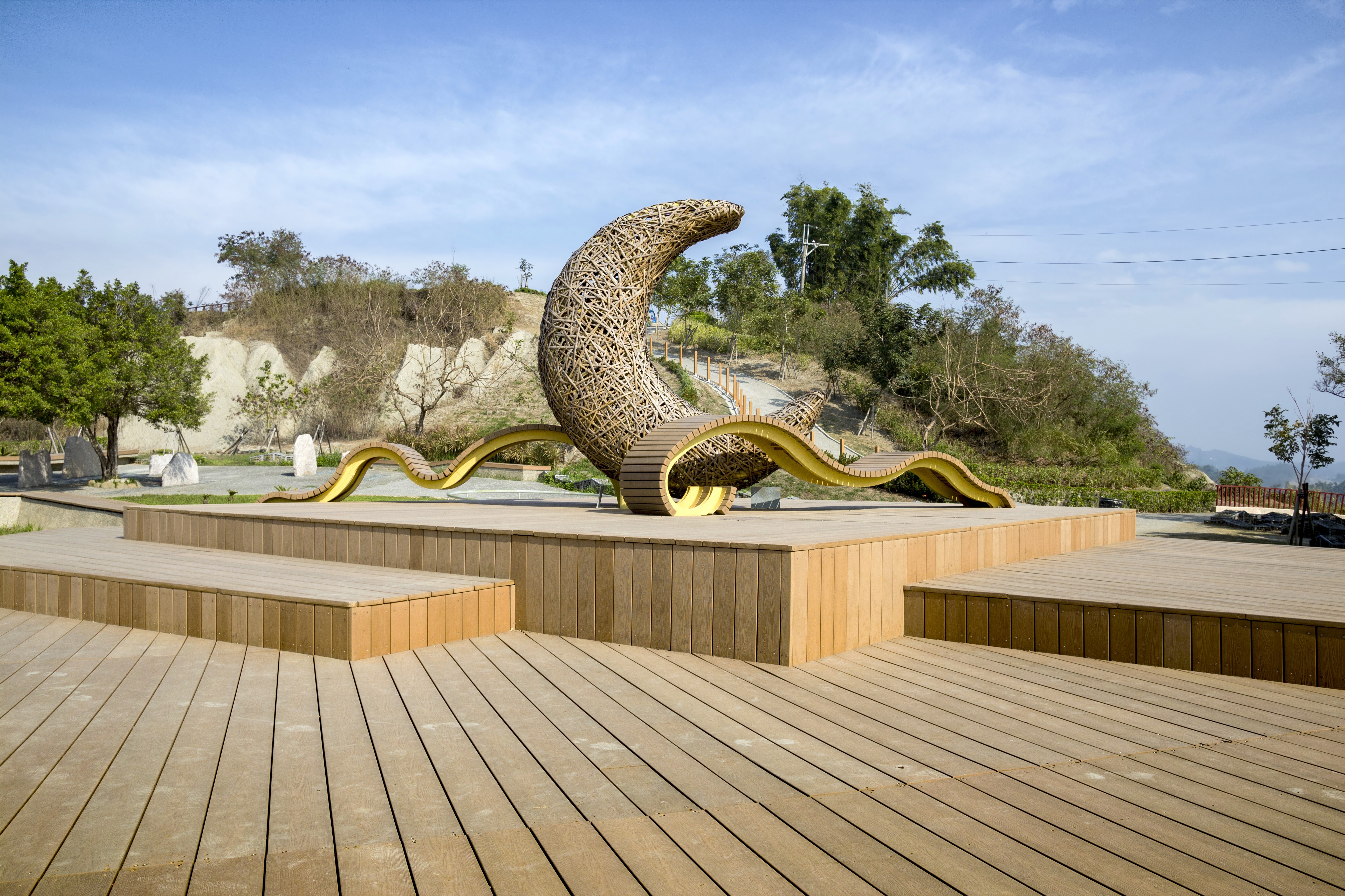
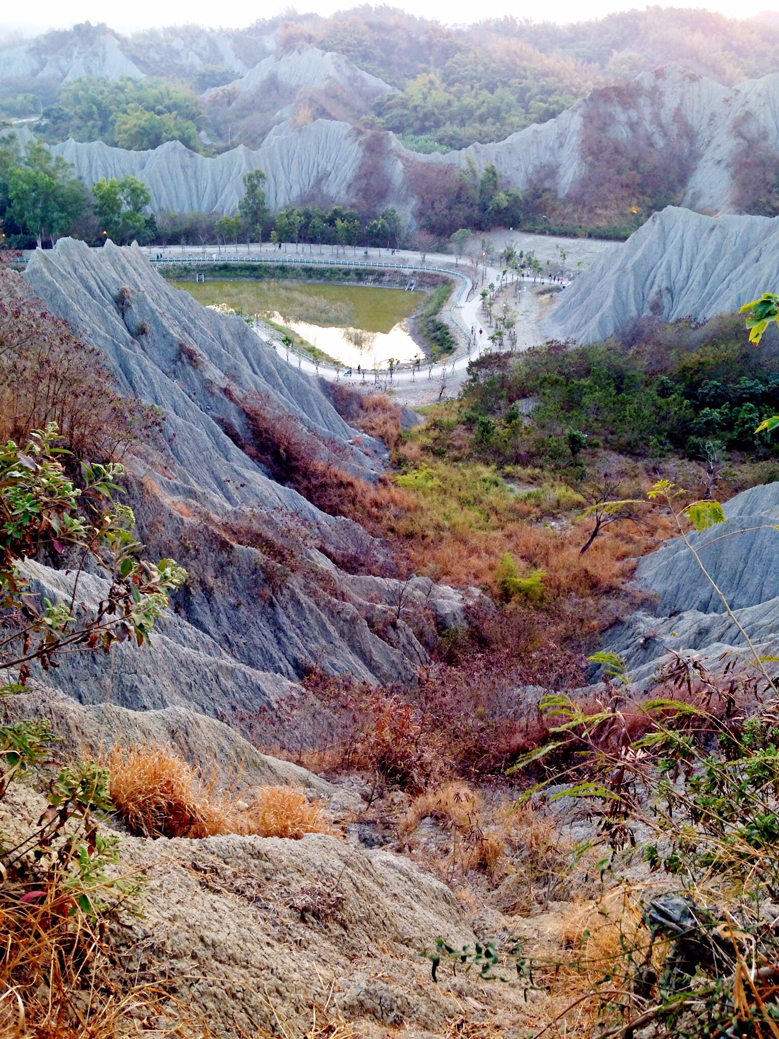
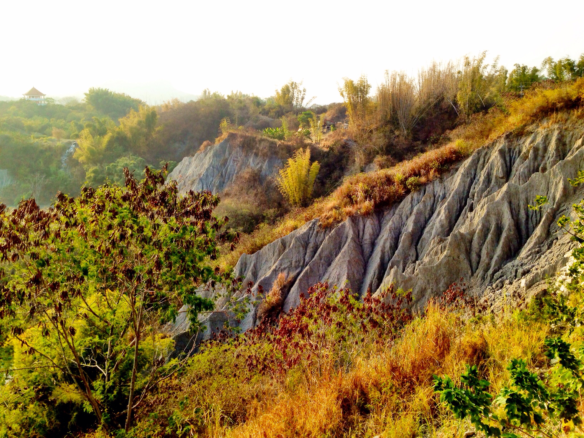
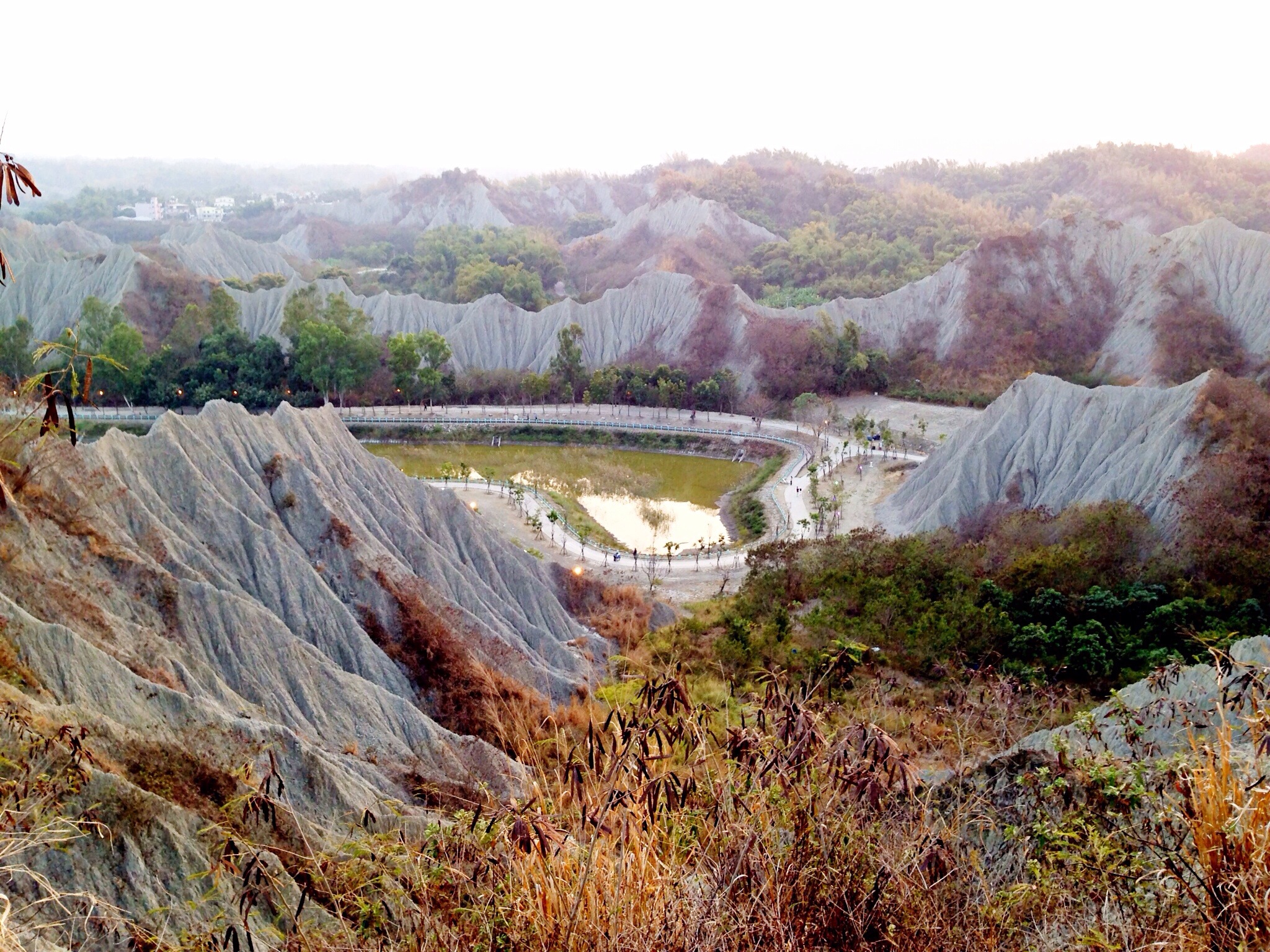
Related Photos:
田寮月世界

2013-06b Putting Up the Umbrella (07)
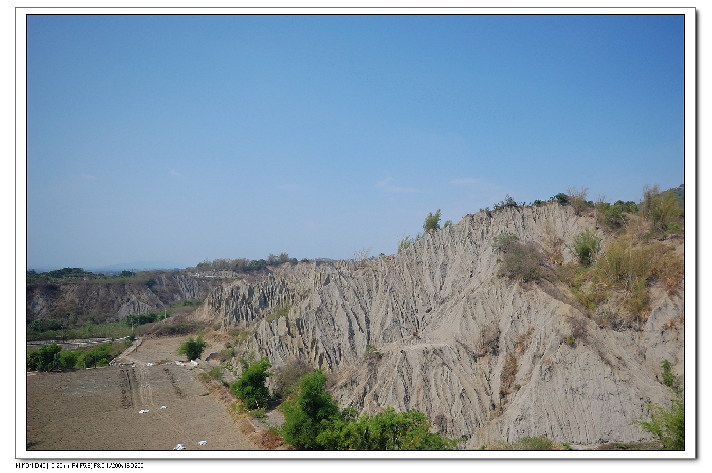
Lunar Terrain Mountain View Landscape at 月世界地景公園
Lunar Terrain Mountain View at 旗山
Lunar Terrain Mountain View at 月世界地景公園
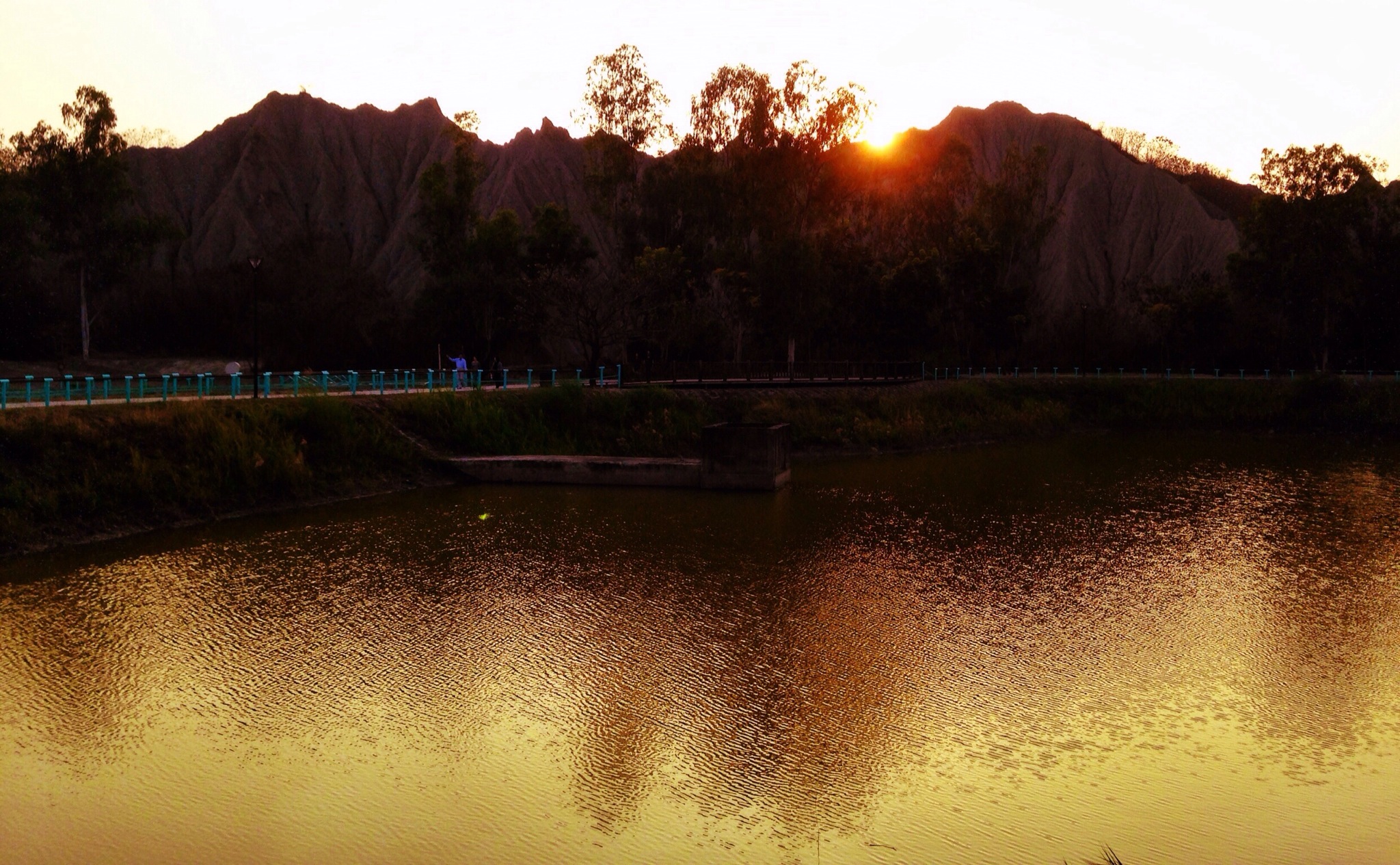
Sunset Lunar Terrain Mountain View Water Reflections at 月世界

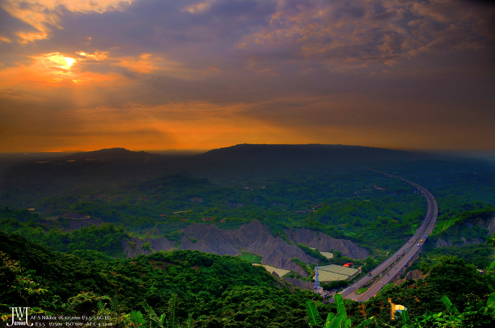
The view from the 308 highlands

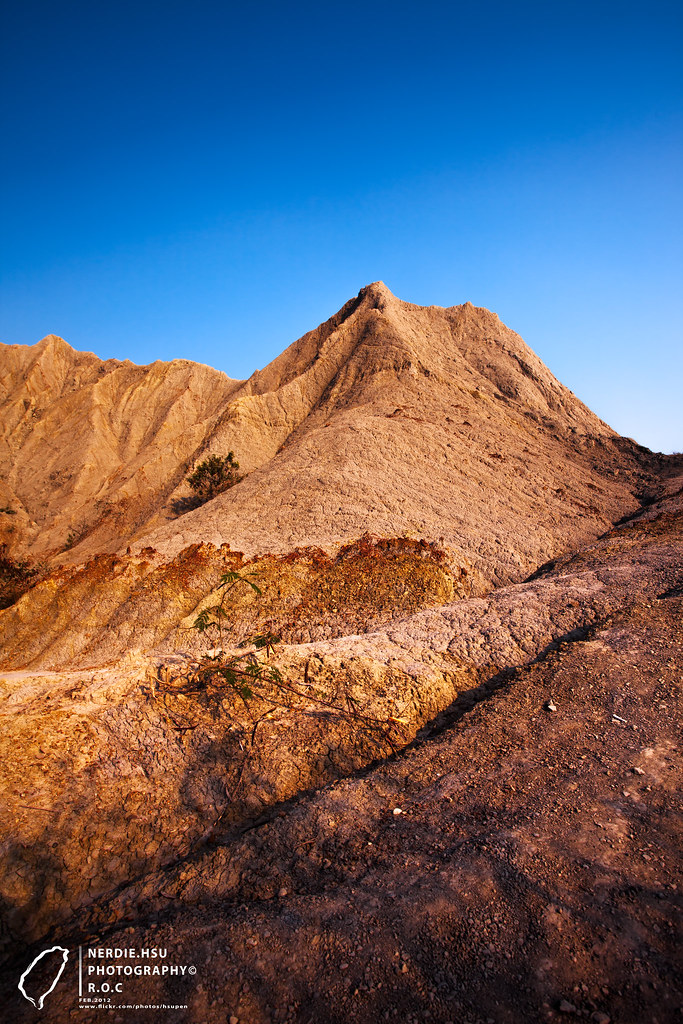
Lunar Terrain Mountain View Blue Sky at 月世界地景公園
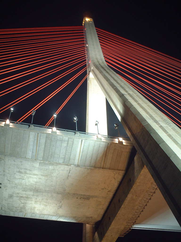
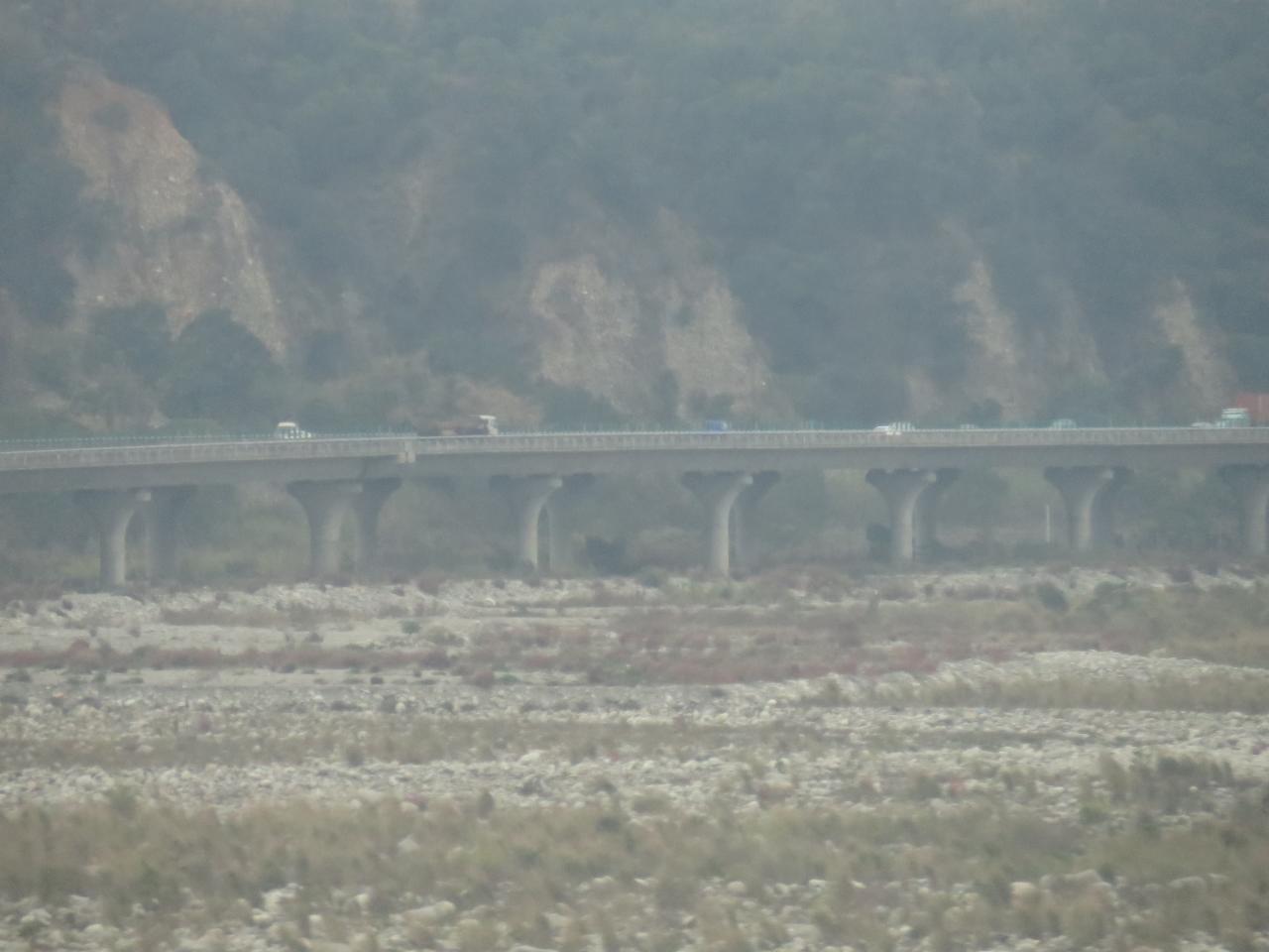
Cable-Stayed Bridge
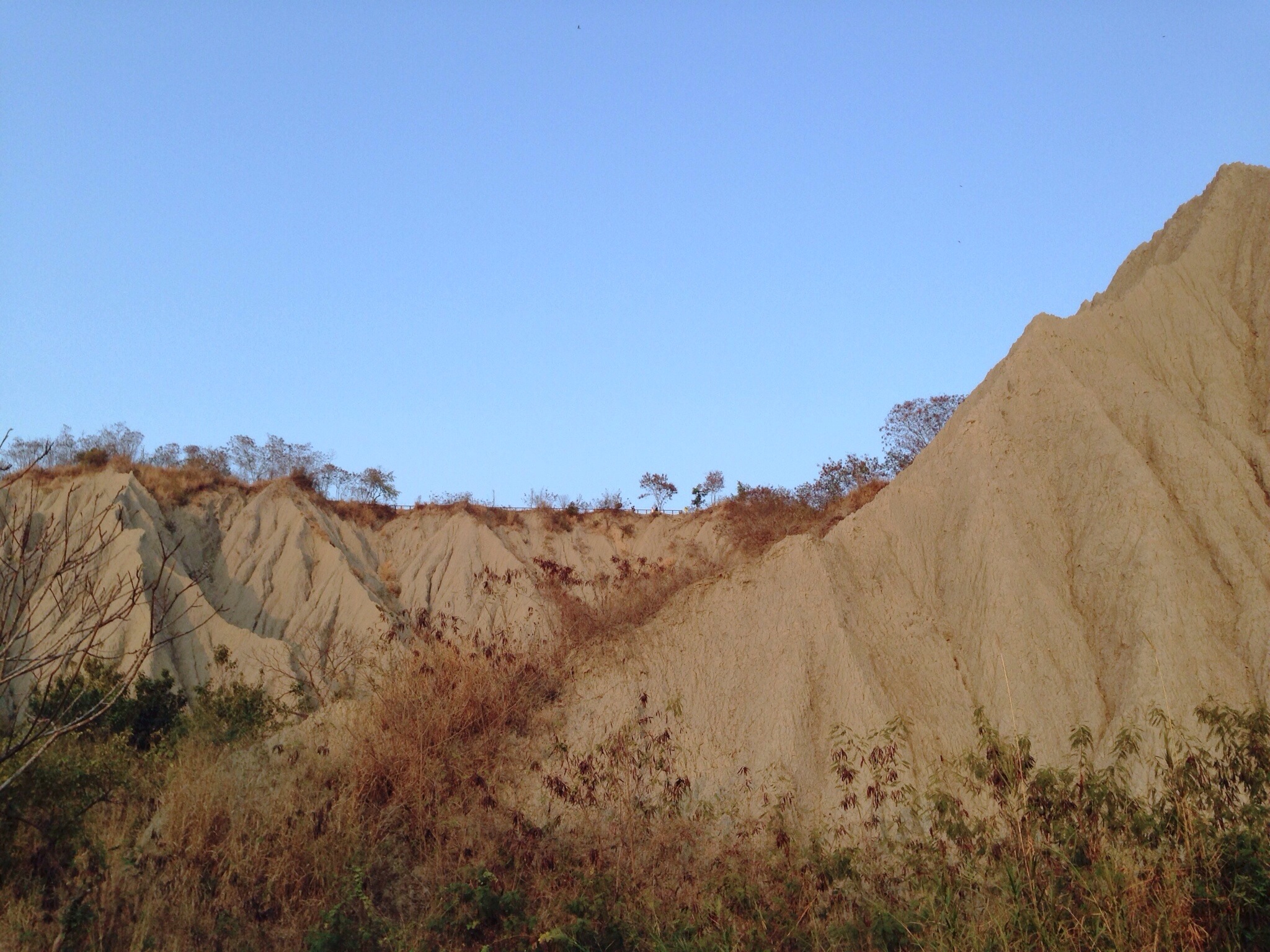
Mountain View Lunar Terrain Blue Sky at 月世界
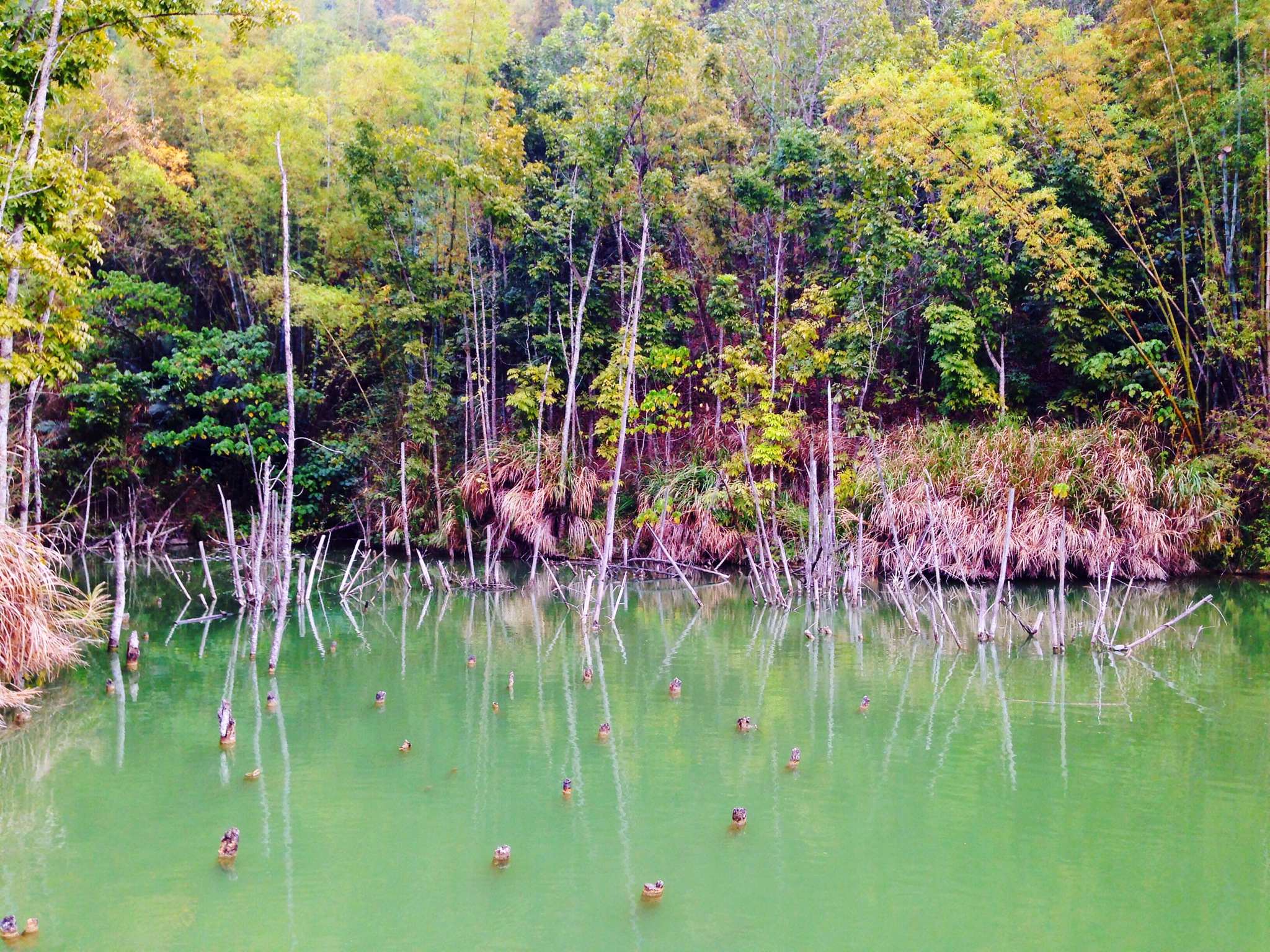
Trees Lake View at 內門順賢宮 Neimen Shun Sian Gong
View From THSR Window

Lunar Terrain Mountain View Child at 月世界地景公園

Lunar Terrain Mountain View Trail Park at 月世界地景公園
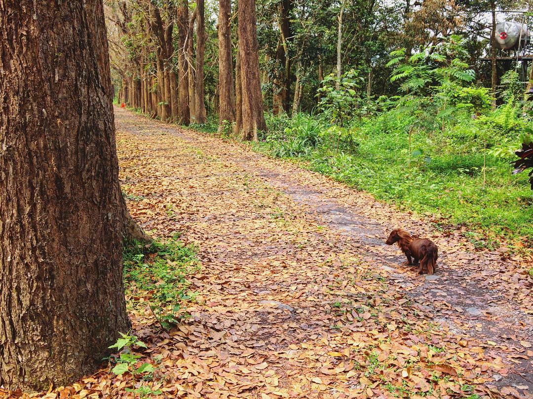
Somtimes you gotta seek and figure out the answer to life by yourself ???? #Kaohsiung #Taiwan #Meilong #view #scenery #dope #fun #party #landscape #cute #pet #dog #photography
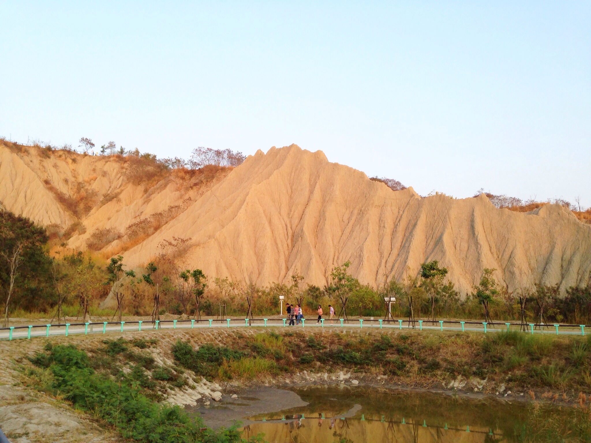
Lunar Terrain Mountain View Landscape at 月世界地景公園
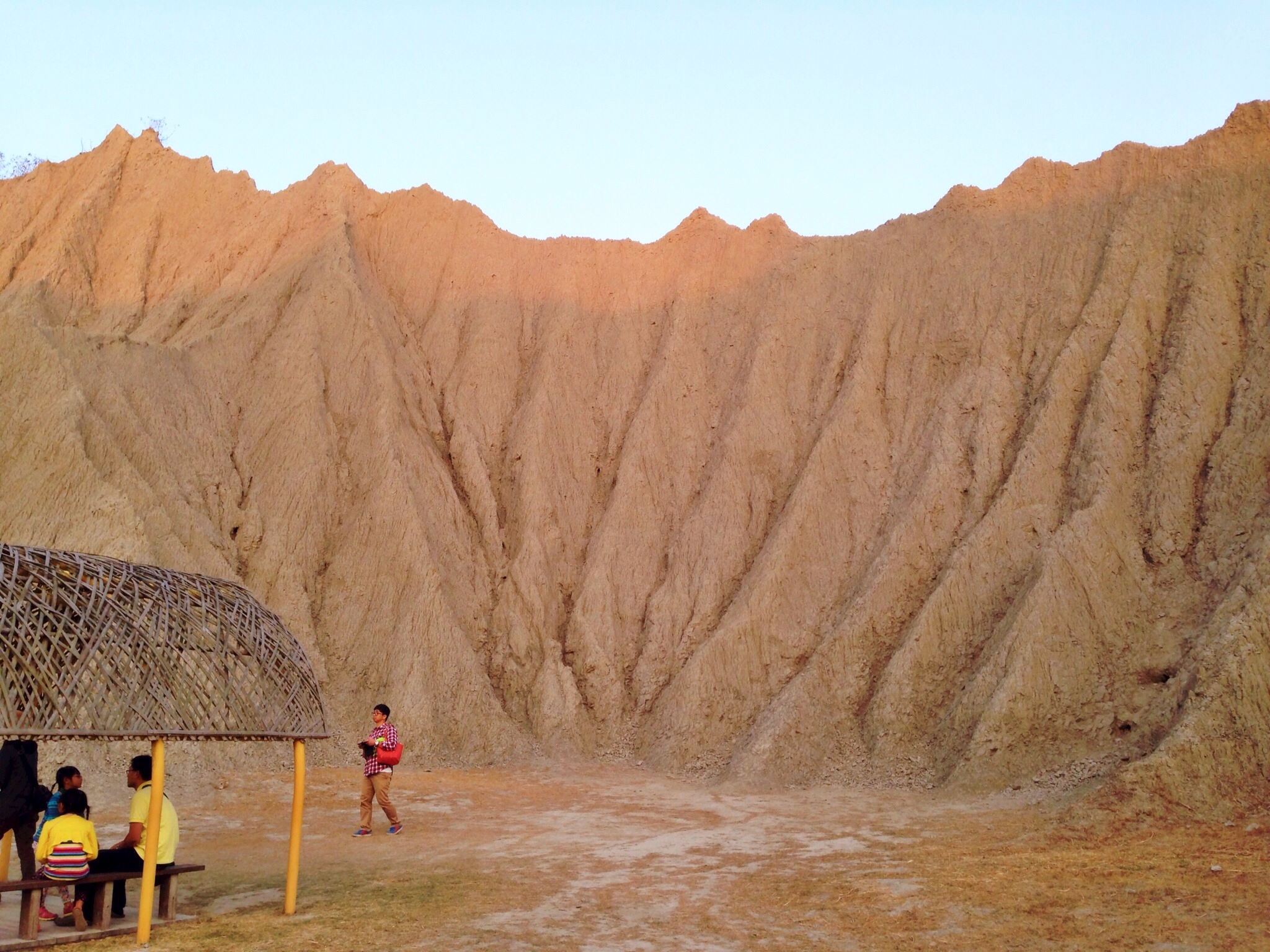
Lunar Terrain Mountain View Blue Sky at 月世界地景公園
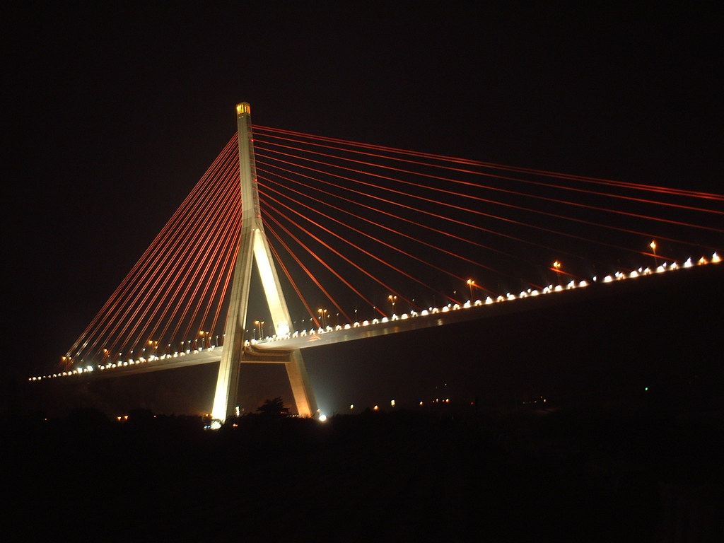
Cable-Stayed Bridge
月世界

The view

The view from the roadside

天空 sky

中寮山

2016-May-01 尾寮山登山步道

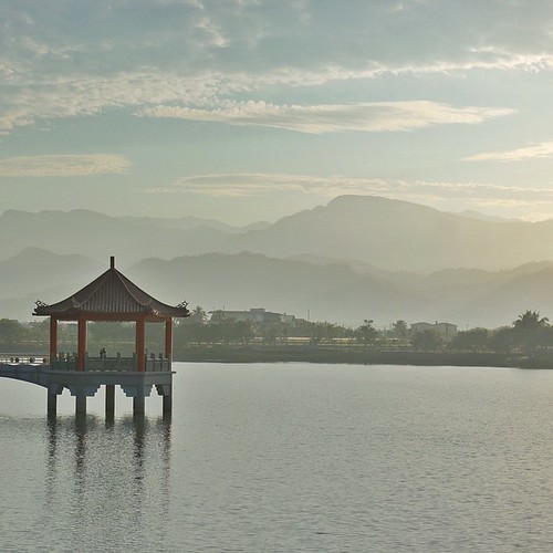
美濃。中正湖
台南縣左鎮區青瓜寮月世界 - One
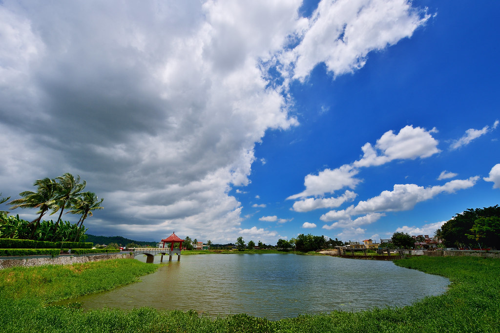
美濃中正湖

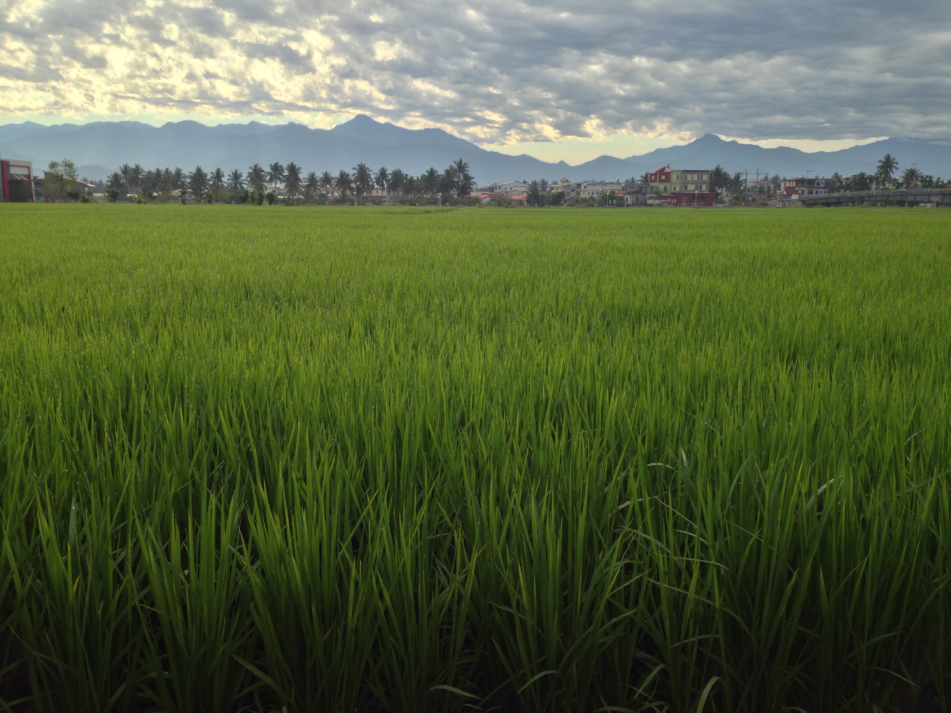
美濃河堤旁晚霞稻田-1
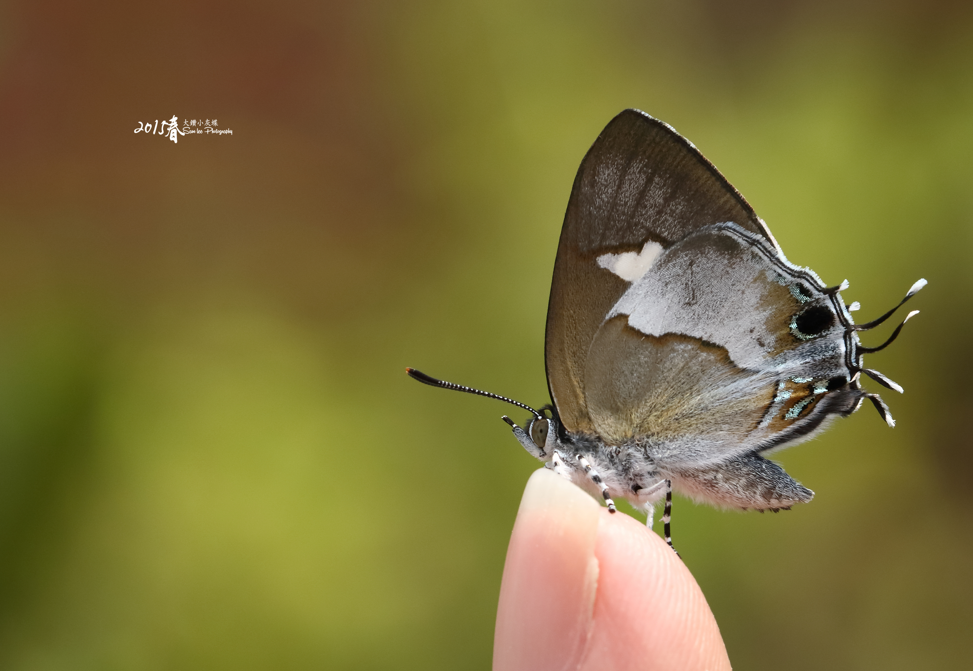
鑽灰蝶 三尾小灰蝶
美濃,TAIWAN
Highway and sunset

IMG_7899_PS.jpg
| Peace & Serenity | This is another photo I took during a trip to the tiny town of Meinong (in southern Taiwan) where I woke before daybreak to catch the sunrise from this lake/reservoir. The morning air was still, humid, and muggy; the sky was hazy
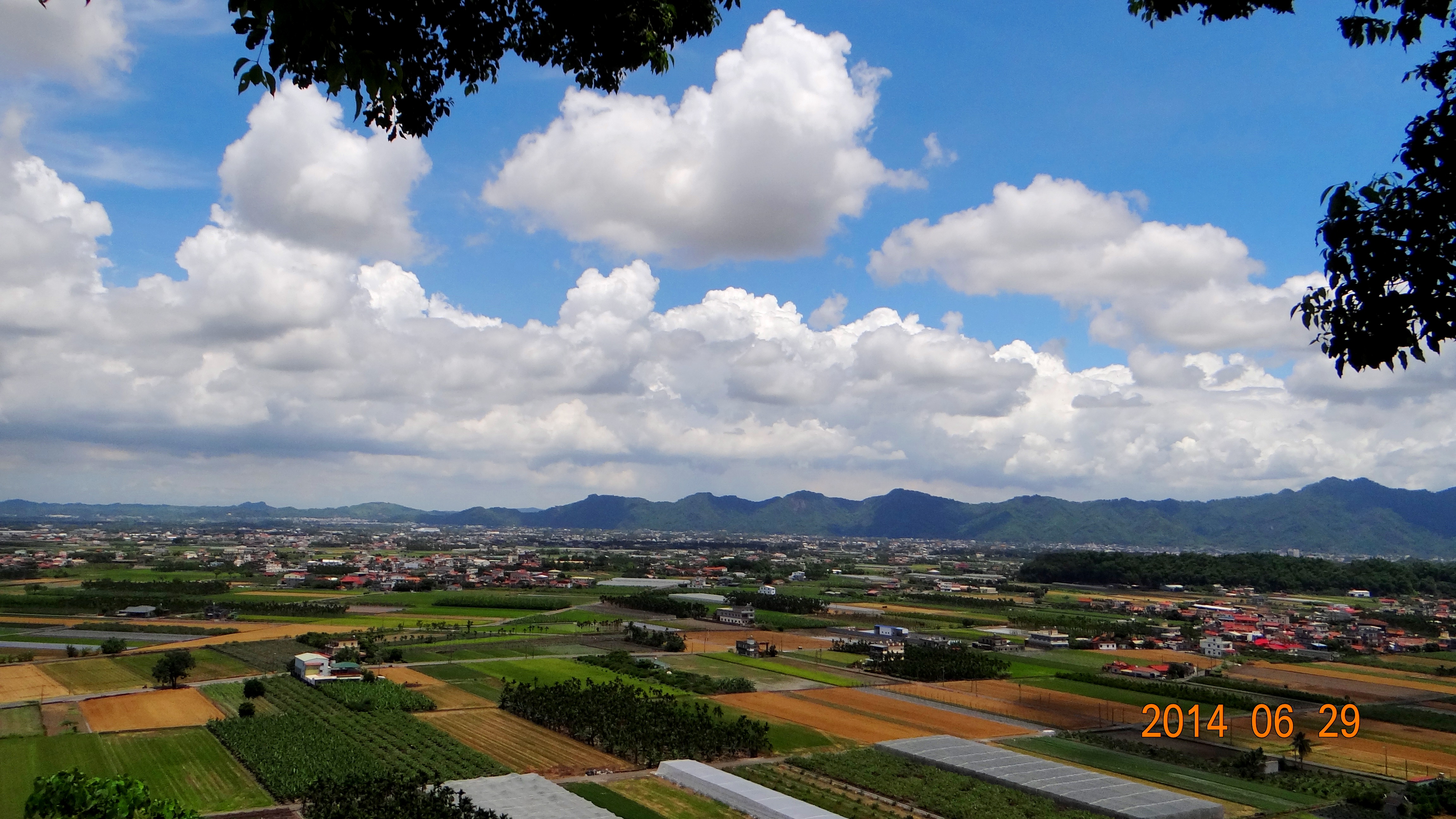
140629獅山瞰美濃

IMG_1624.jpg
Topographic Map of No. 23, Yonghua St, Meinong District, Kaohsiung City, Taiwan
Find elevation by address:

Places near No. 23, Yonghua St, Meinong District, Kaohsiung City, Taiwan:
No. 33, Fu'an St, Meinong District, Kaohsiung City, Taiwan
福安里
中壇里
No. 16, Lane 97, Section 2, Zhongxiao Rd, Meinong District, Kaohsiung City, Taiwan
No. 23, Wugu St, Meinong District, Kaohsiung City, Taiwan
合和里
No. 36, Meizhong Rd, Meinong District, Kaohsiung City, Taiwan
Meinong District
No. 6, Lane, Fumei Rd, Meinong District, Kaohsiung City, Taiwan
No. 21, Qiping 2nd Rd, Qishan District, Kaohsiung City, Taiwan
東平里
No. 281, Fumei Road
Taiwan, Kaohsiung City, Qishan District, 兩界巷9號
No. 34, Longshan St, Meinong District, Kaohsiung City, Taiwan
龍山里
Taiwan, Kaohsiung City, Meinong District, 28
No. 33, Nanliao Ln, Qishan District, Kaohsiung City, Taiwan
Taiwan, Kaohsiung City, Qishan District, 竹寮巷9號
No. 53, Yuanshan St, Meinong District, Kaohsiung City, Taiwan
No. 47, Minquan Rd, Meinong District, Kaohsiung City, Taiwan
Recent Searches:
- Elevation of Corso Fratelli Cairoli, 35, Macerata MC, Italy
- Elevation of Tallevast Rd, Sarasota, FL, USA
- Elevation of 4th St E, Sonoma, CA, USA
- Elevation of Black Hollow Rd, Pennsdale, PA, USA
- Elevation of Oakland Ave, Williamsport, PA, USA
- Elevation of Pedrógão Grande, Portugal
- Elevation of Klee Dr, Martinsburg, WV, USA
- Elevation of Via Roma, Pieranica CR, Italy
- Elevation of Tavkvetili Mountain, Georgia
- Elevation of Hartfords Bluff Cir, Mt Pleasant, SC, USA