Elevation of Taiwan, 屏東縣泰武鄉萬安村
Location: Taiwan > Pingtung County > Taiwu Township >
Longitude: 120.671755
Latitude: 22.6296354
Elevation: 751m / 2464feet
Barometric Pressure: 0KPa
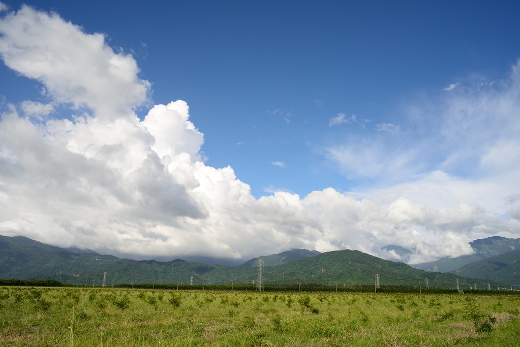
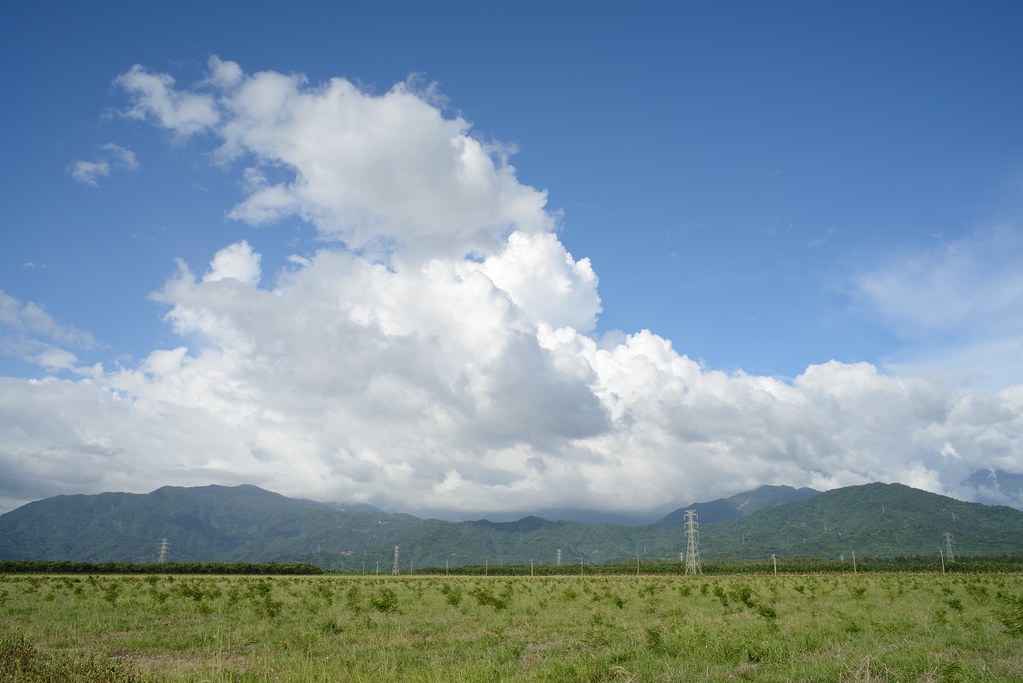
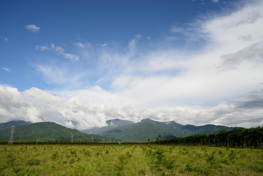
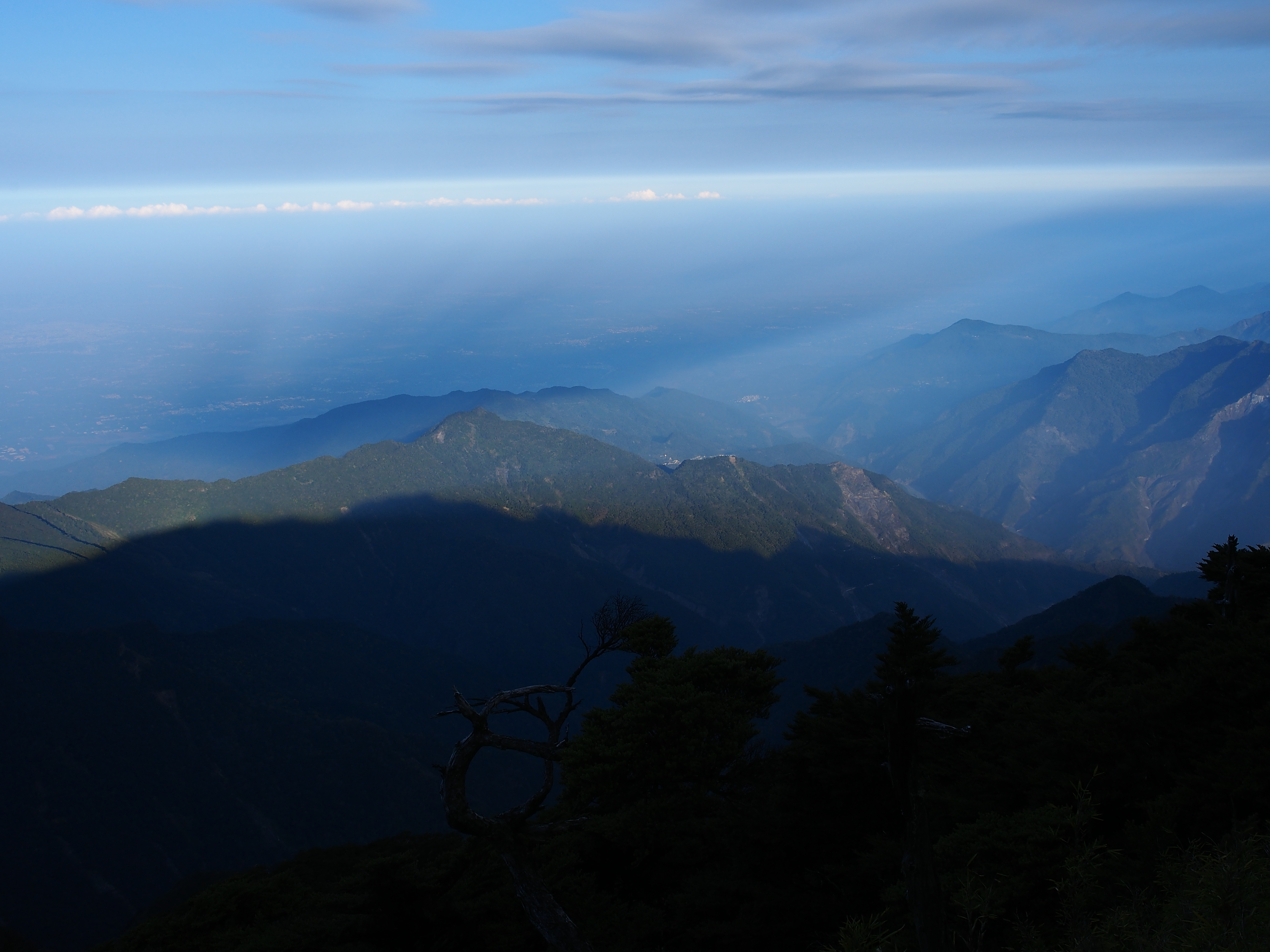
Related Photos:

因棧道施工,只能遠望涓涓細流。 Waterfall Mountain View Trees at 涼山瀑布

Mountain View Trees at 涼山瀑布
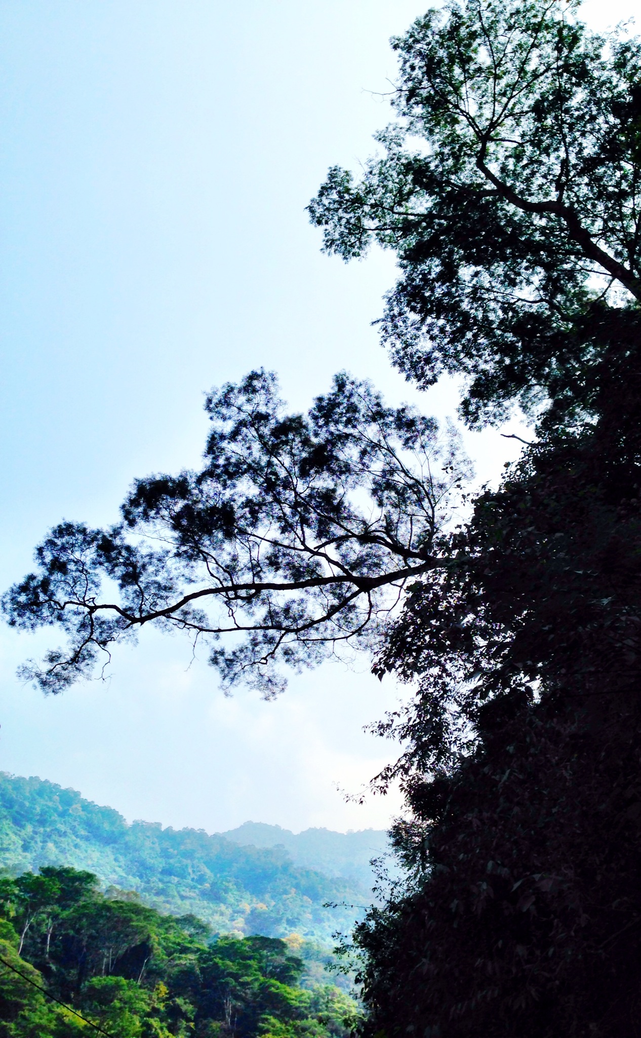
Trees Mountain View Landscape 橫生枝節 at 涼山瀑布
Surrounding View
Surrounding View

一個很像土地公廟的建築

20150226-DSC04381

20150226-DSC04386

First view of abandoned Dashun Hospital 大順醫院

An oblique view of Dashun Hospital 大順醫院
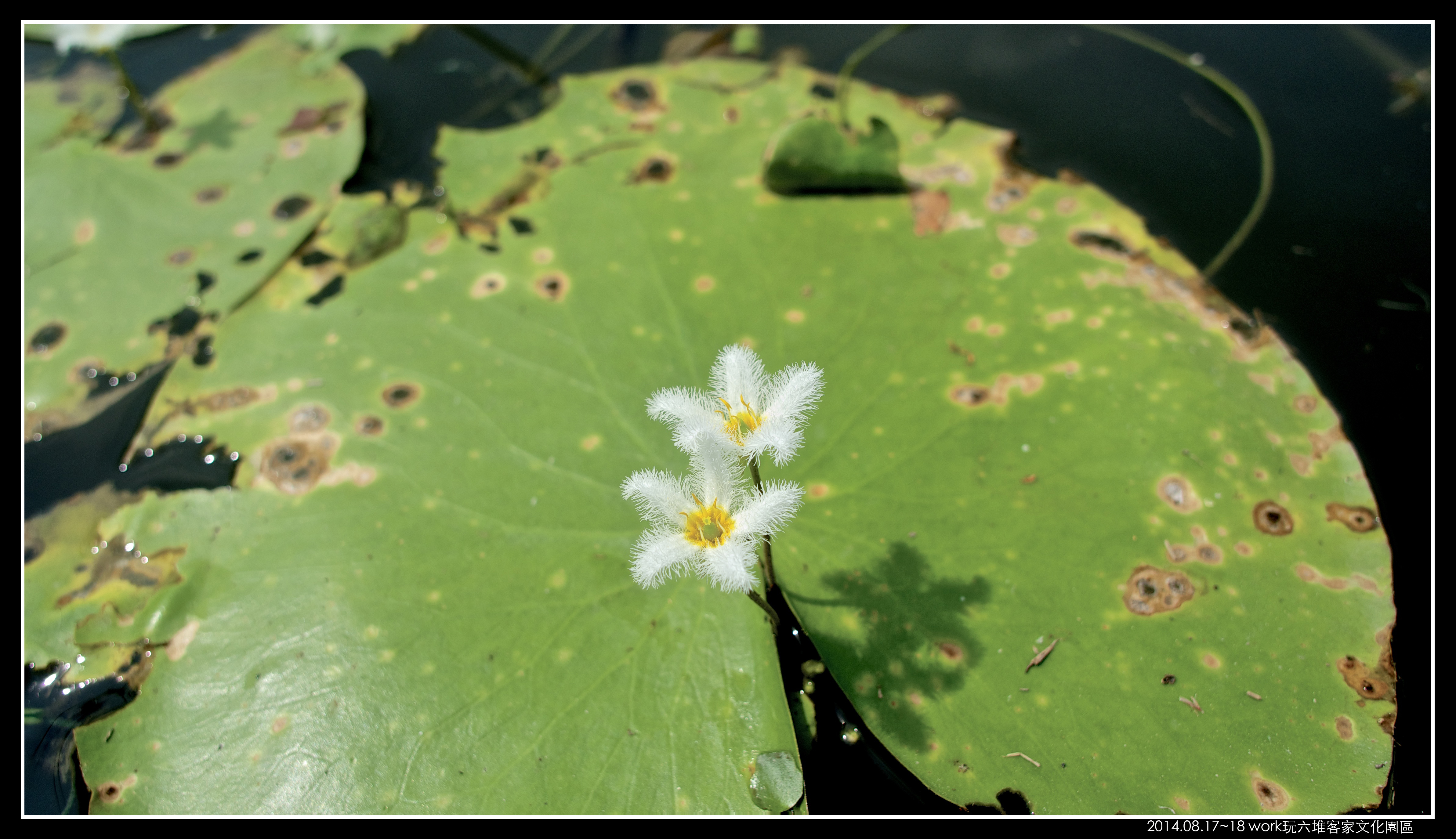
P8170058 (1)

戀戀山城~霧台
2012-The Sky_012

朝露
2012-The Sky_006
2012-The Sky_015

Liang Shan waterfall, Pington, Taiwan.

P_20141024_054438_HDR.jpg
斜射光
20140209霧臺

山湖觀

可愛的小baby

2012-The Sky_016

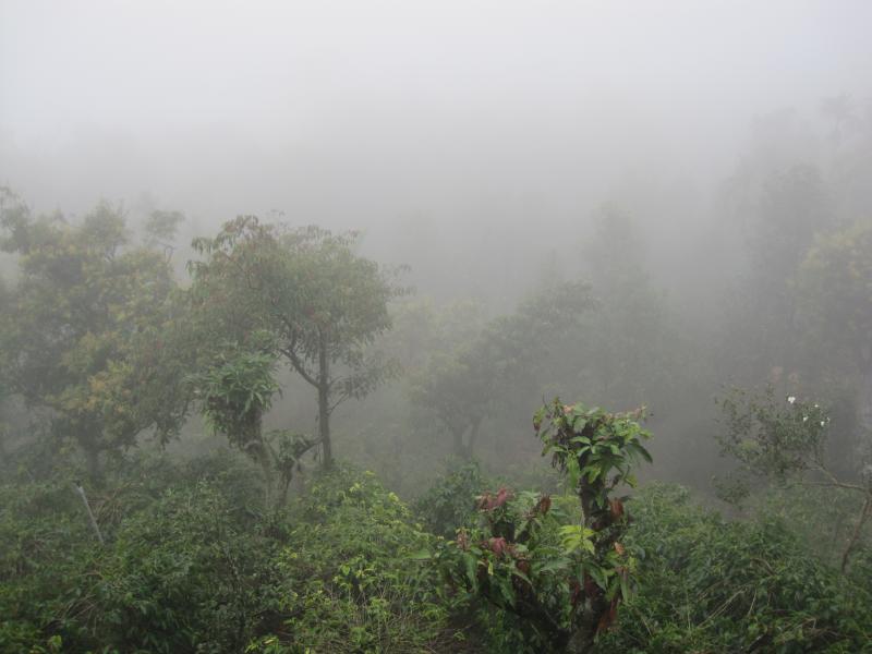
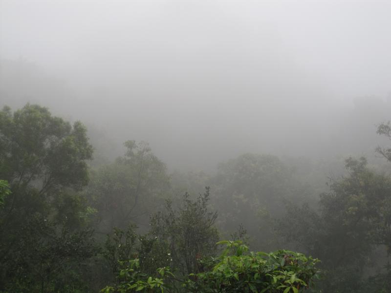
2014年5月13日霧台的雨後

20151227 排骨陳竹田別野一日遊
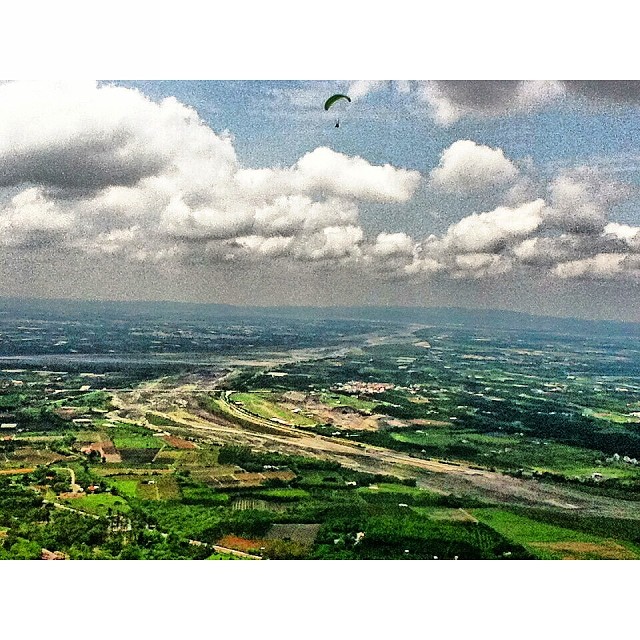
迎著氣流,往上蹬著空步高昇,期許在新的天空一片無阻,直至安全地降落結束這新的一年新的旅程。#parachute #sky #clouds #Taiwan #landscape #scenery #ClipCrop

涼山瀑布 木棧步道
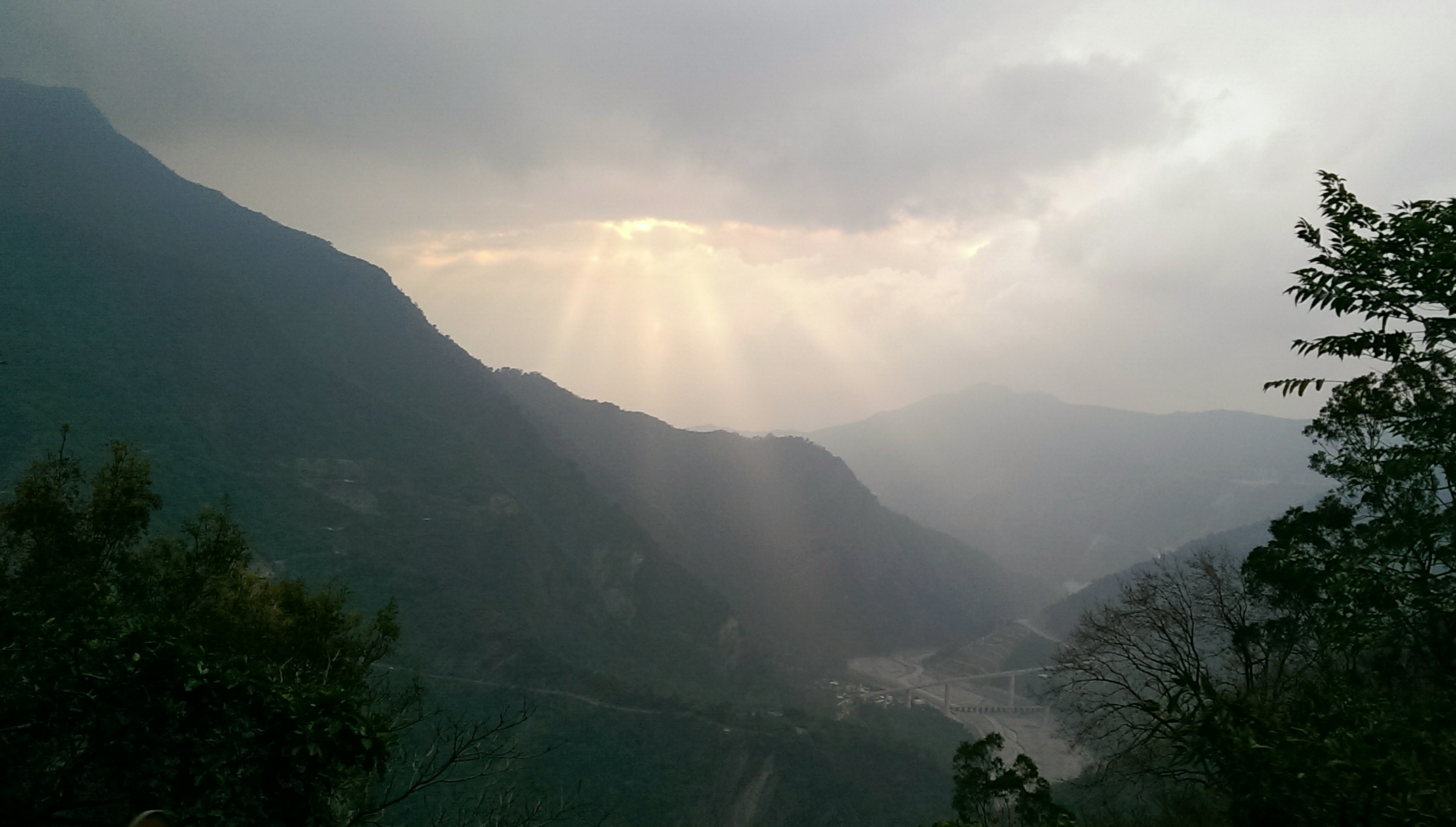
中央山脈南段
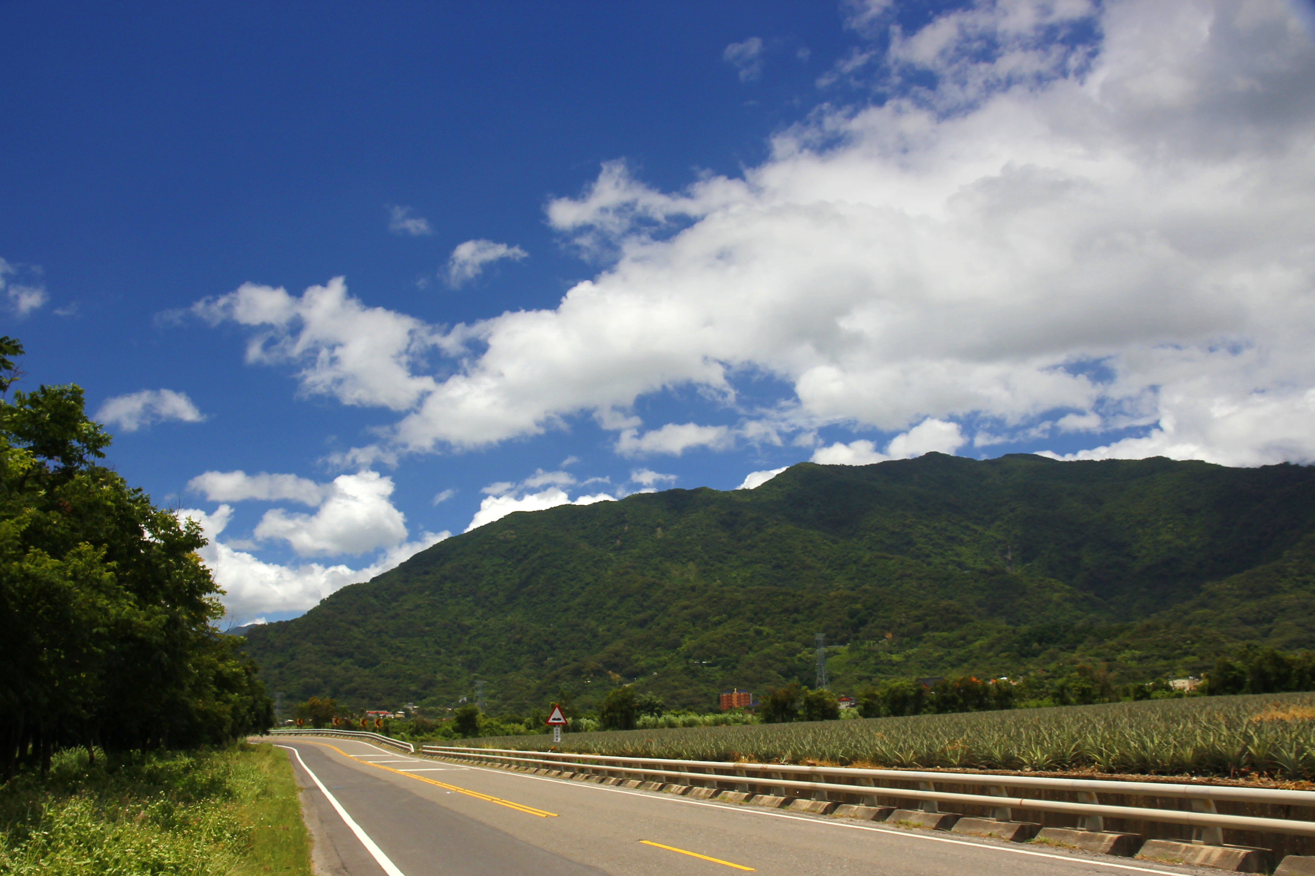
沿山公路
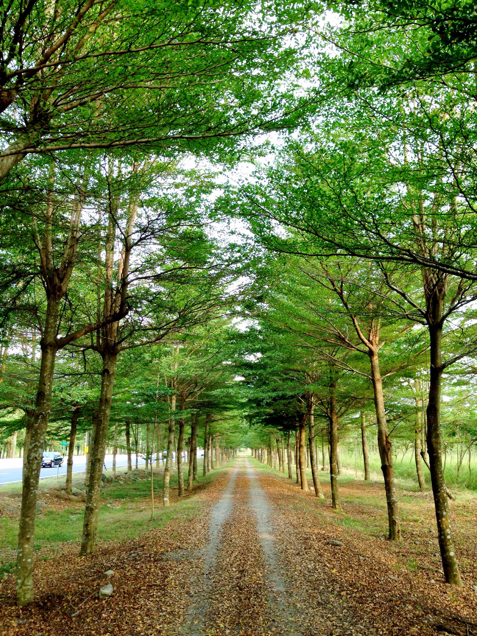
Trees at 林後四林平地森林園區
Topographic Map of Taiwan, 屏東縣泰武鄉萬安村
Find elevation by address:

Places in Taiwan, 屏東縣泰武鄉萬安村:
Places near Taiwan, 屏東縣泰武鄉萬安村:
佳義村
Taiwan, Pingtung County, Taiwu Township, 2
萬安
Taiwu Township
Taiwan Province
Taiwan, Pingtung County, Taiwu Township, 良武巷1號
Taiwan, Pingtung County, Majia Township, 40
排灣
Taiwan, Pingtung County, Majia Township, 泰平巷12號
武潭村
Taiwan, Pingtung County, Taiwu Township, 佳平巷號
成德村
泰武村
Life In The Sky
老埤村
Taiwan, Pingtung County, Taiwu Township, 潭南巷54號
中林村
No. 4, Dahoubuluo Communication Rd, Laiyi Township, Pingtung County, Taiwan
No. 36, Xinmin Rd, Wanluan Township, Pingtung County, Taiwan
No., Liantong St, Neipu Township, Pingtung County, Taiwan
Recent Searches:
- Elevation of Clifton Down, Clifton, Bristol, City of Bristol, England, BS8 3HU, United Kingdom
- Elevation map of Auvergne-Rhône-Alpes, France
- Elevation map of Upper Savoy, Auvergne-Rhône-Alpes, France
- Elevation of Chamonix-Mont-Blanc, Upper Savoy, Auvergne-Rhône-Alpes, France
- Elevation of 908, Northwood Drive, Bridge Field, Chesapeake, Virginia, 23322, USA
- Elevation map of Nagano Prefecture, Japan
- Elevation of 587, Bascule Drive, Oakdale, Stanislaus County, California, 95361, USA
- Elevation of Stadion Wankdorf, Sempachstrasse, Breitfeld, Bern, Bern-Mittelland administrative district, Bern, 3014, Switzerland
- Elevation of Z024, 76, Emil-von-Behring-Straße, Marbach, Marburg, Landkreis Marburg-Biedenkopf, Hesse, 35041, Germany
- Elevation of Gaskill Road, Hunts Cross, Liverpool, England, L24 9PH, United Kingdom
- Elevation of Speke, Liverpool, England, L24 9HD, United Kingdom
- Elevation of Seqirus, 475, Green Oaks Parkway, Holly Springs, Wake County, North Carolina, 27540, USA
- Elevation of Pasing, Munich, Bavaria, 81241, Germany
- Elevation of 24, Auburn Bay Crescent SE, Auburn Bay, Calgary, Alberta, T3M 0A6, Canada
- Elevation of Denver, 2314, Arapahoe Street, Five Points, Denver, Colorado, 80205, USA
- Elevation of Community of the Beatitudes, 2924, West 43rd Avenue, Sunnyside, Denver, Colorado, 80211, USA
- Elevation map of Litang County, Sichuan, China
- Elevation map of Madoi County, Qinghai, China
- Elevation of 3314, Ohio State Route 114, Payne, Paulding County, Ohio, 45880, USA
- Elevation of Sarahills Drive, Saratoga, Santa Clara County, California, 95070, USA