Elevation of Taiwan, 屏東縣牡丹鄉旭海村
Location: Taiwan > Pingtung County > Mudan Township >
Longitude: 120.8786026
Latitude: 22.1904593
Elevation: 22m / 72feet
Barometric Pressure: 0KPa
Related Photos:
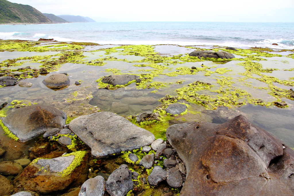
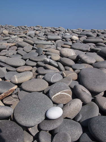
Rocky Seashore, Kenting, Taiwan
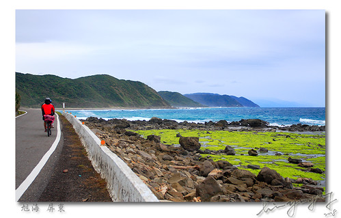
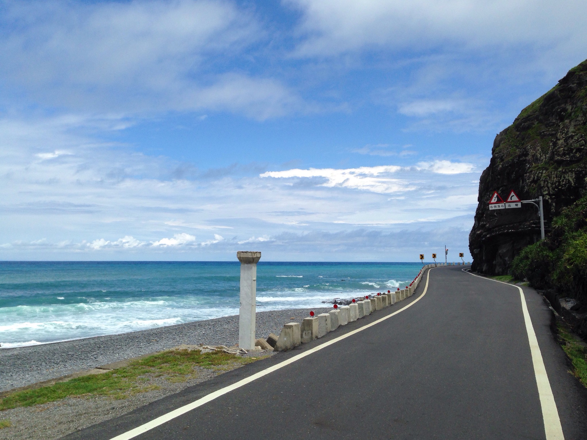
Biking along the manless Syuhai (旭海)

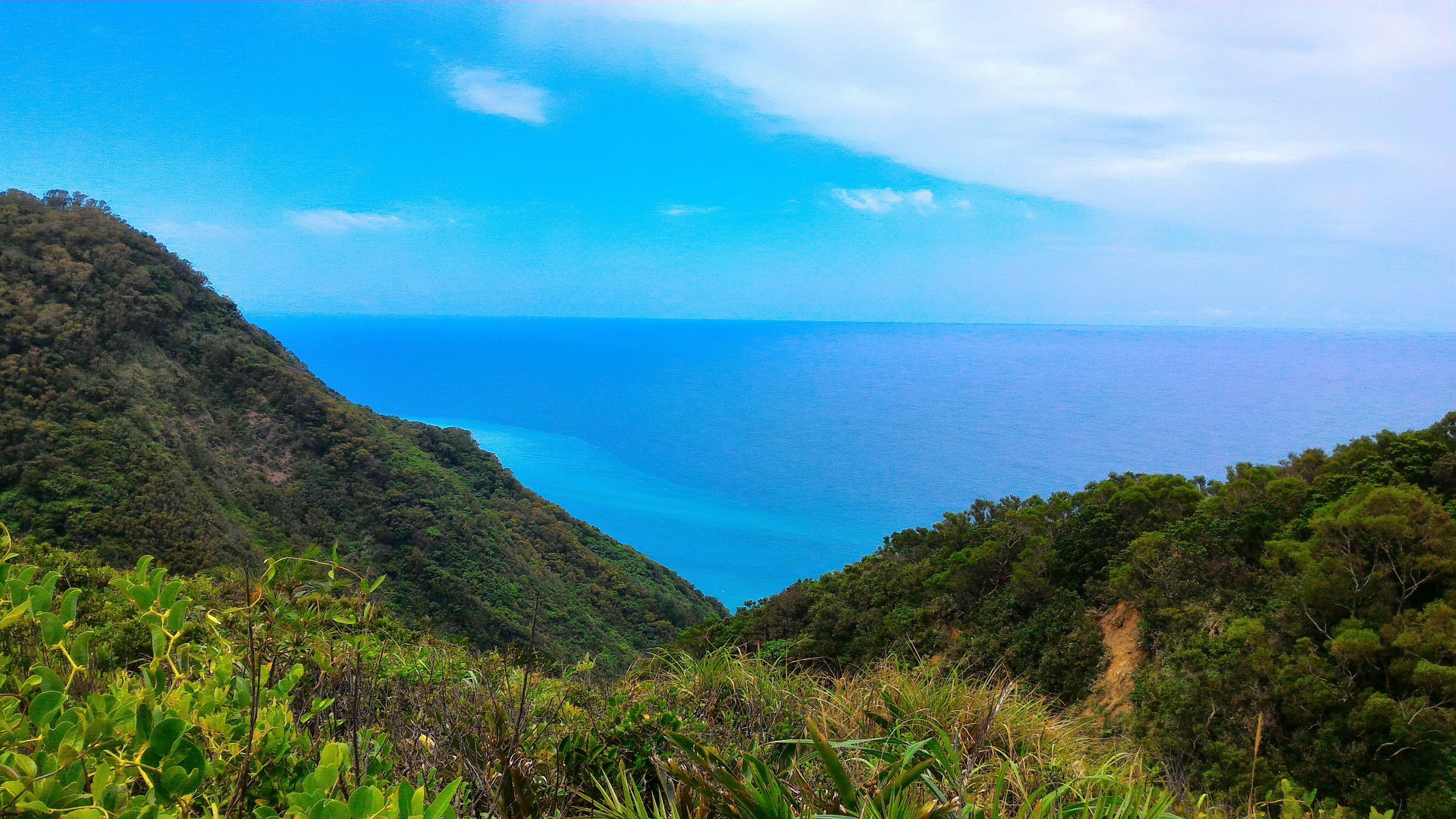
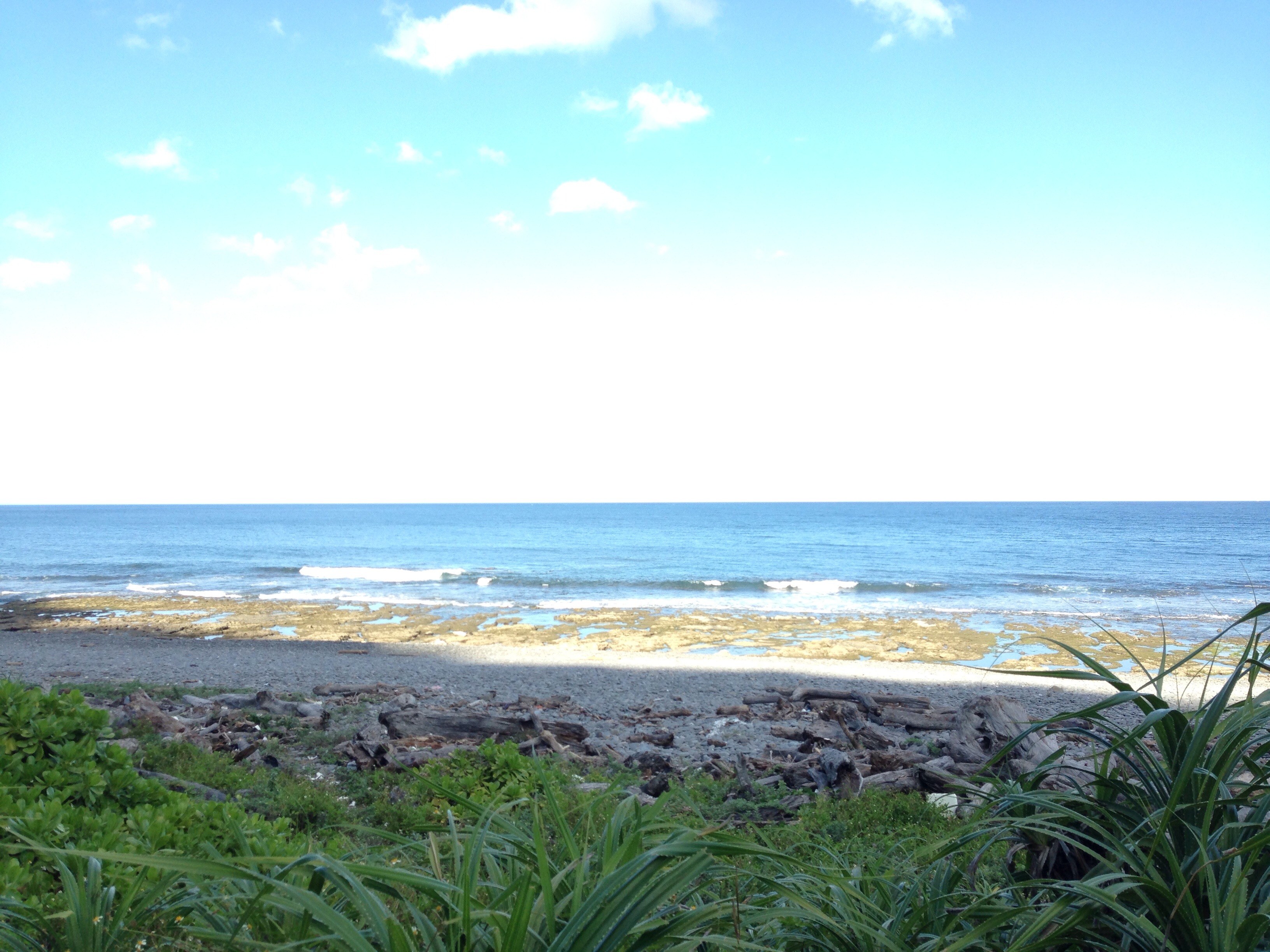
Ocean view.

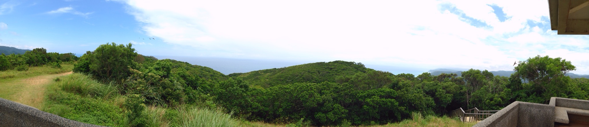
Mudan mountain view
Sea View Mountains at 旭海大草原
起碼二十年沒去過的旭海 Prairie Sea View Panorama at 旭海大草原
往港仔過去舊中科院路上的海邊,竟是如此美麗! Sea View Clouds And Sky On The Road at 台26線79公里
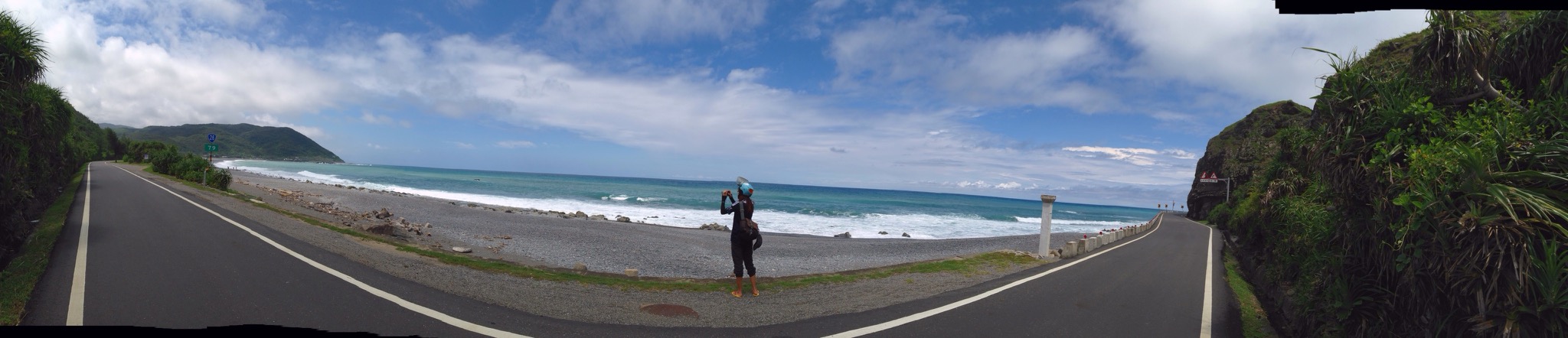
有朋自遠方來,融入湛藍的畫面。 Clouds And Sky Sea View Panorama Landscape at 台26線79公里

#Awesome #Beautiful #Pretty #View #Around #Taiwan #環島 #屏東 #Day12 啊都到了全台灣島最南端 心胸就是開闊 腳步要放慢 心情要放輕鬆 媽的從鵝鸞鼻到台東市就真的沒廁所 當然就隨地大小便幫助植物生長

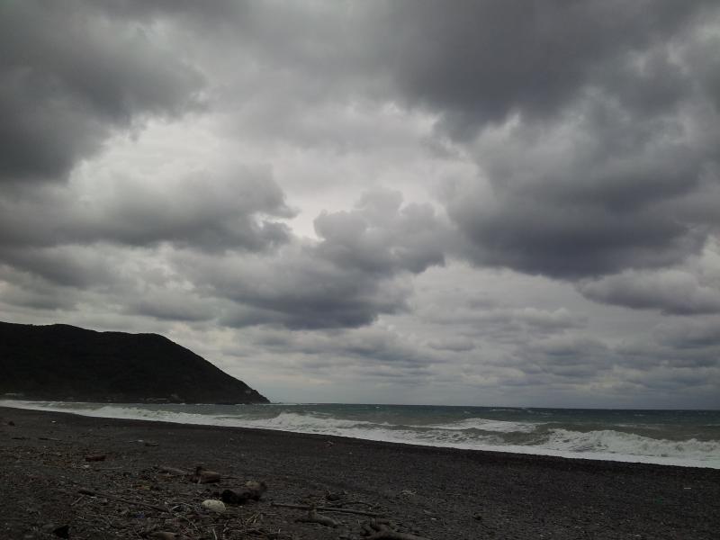
爬了四小時,看到絕世美景都值了。 #阿朗壹古道 #阿朗壹 #trail #walk #taiwan #taitung #pintung #igtaiwan #igtaitung #igers #ocean #sea #mountain #instagood #scene #view #greatview #ignature #igoutdoor #outdoor #nature

Alangyi Old Trail

阿朗壹古道-海
Provincial Highway 26

Xuhai (Provincial Highway 26)

20110207-028

咕嚕咕嚕

20150227-16-40-34-P2275529

P1030849.JPG

20110207-027

2013環島5勇士-Day 7
2013環島5勇士-Day 7
20120127-014

20150227-16-48-31-P2275535
Topographic Map of Taiwan, 屏東縣牡丹鄉旭海村
Find elevation by address:

Places in Taiwan, 屏東縣牡丹鄉旭海村:
Places near Taiwan, 屏東縣牡丹鄉旭海村:
Taiwan, Pingtung County, Mudan Township, 台26線3號
東源村
No. 55, Dongyuan Rd, Mudan Township, Pingtung County, Taiwan
Taiwan, Pingtung County, Shizi Township, 1巷30號
No., Mudan Rd, Mudan Township, Pingtung County, Taiwan
內文村
牡丹村
Taiwan, Pingtung County, Shizi Township, 丹路二巷23號
Taiwan, Pingtung County, Shizi Township, 草埔一巷5號
草埔村
No., Anshuo Rd, Daren Township, Taitung County, Taiwan
No., Fuxing Rd, Daren Township, Taitung County, Taiwan
Mudan Township
Taiwan, Pingtung County, Shizi Township, 丹路二巷30號
丹路村
安朔村
南興村
Shizi Township
楓林村
獅子村
Recent Searches:
- Elevation of 10370, West 107th Circle, Westminster, Jefferson County, Colorado, 80021, USA
- Elevation of 611, Roman Road, Old Ford, Bow, London, England, E3 2RW, United Kingdom
- Elevation of 116, Beartown Road, Underhill, Chittenden County, Vermont, 05489, USA
- Elevation of Window Rock, Colfax County, New Mexico, 87714, USA
- Elevation of 4807, Rosecroft Street, Kempsville Gardens, Virginia Beach, Virginia, 23464, USA
- Elevation map of Matawinie, Quebec, Canada
- Elevation of Sainte-Émélie-de-l'Énergie, Matawinie, Quebec, Canada
- Elevation of Rue du Pont, Sainte-Émélie-de-l'Énergie, Matawinie, Quebec, J0K2K0, Canada
- Elevation of 8, Rue de Bécancour, Blainville, Thérèse-De Blainville, Quebec, J7B1N2, Canada
- Elevation of Wilmot Court North, 163, University Avenue West, Northdale, Waterloo, Region of Waterloo, Ontario, N2L6B6, Canada
- Elevation map of Panamá Province, Panama
- Elevation of Balboa, Panamá Province, Panama
- Elevation of San Miguel, Balboa, Panamá Province, Panama
- Elevation of Isla Gibraleón, San Miguel, Balboa, Panamá Province, Panama
- Elevation of 4655, Krischke Road, Schulenburg, Fayette County, Texas, 78956, USA
- Elevation of Carnegie Avenue, Downtown Cleveland, Cleveland, Cuyahoga County, Ohio, 44115, USA
- Elevation of Walhonding, Coshocton County, Ohio, USA
- Elevation of Clifton Down, Clifton, Bristol, City of Bristol, England, BS8 3HU, United Kingdom
- Elevation map of Auvergne-Rhône-Alpes, France
- Elevation map of Upper Savoy, Auvergne-Rhône-Alpes, France