Elevation of Taebaek Mountains, Seohwa-myeon, Inje-gun
Location: South Korea > Gangwon-do > Inje-gun > 산191 >
Longitude: 128.185278
Latitude: 38.224722
Elevation: 561m / 1841feet
Barometric Pressure: 95KPa
Elevation Map:
Satellite Map:
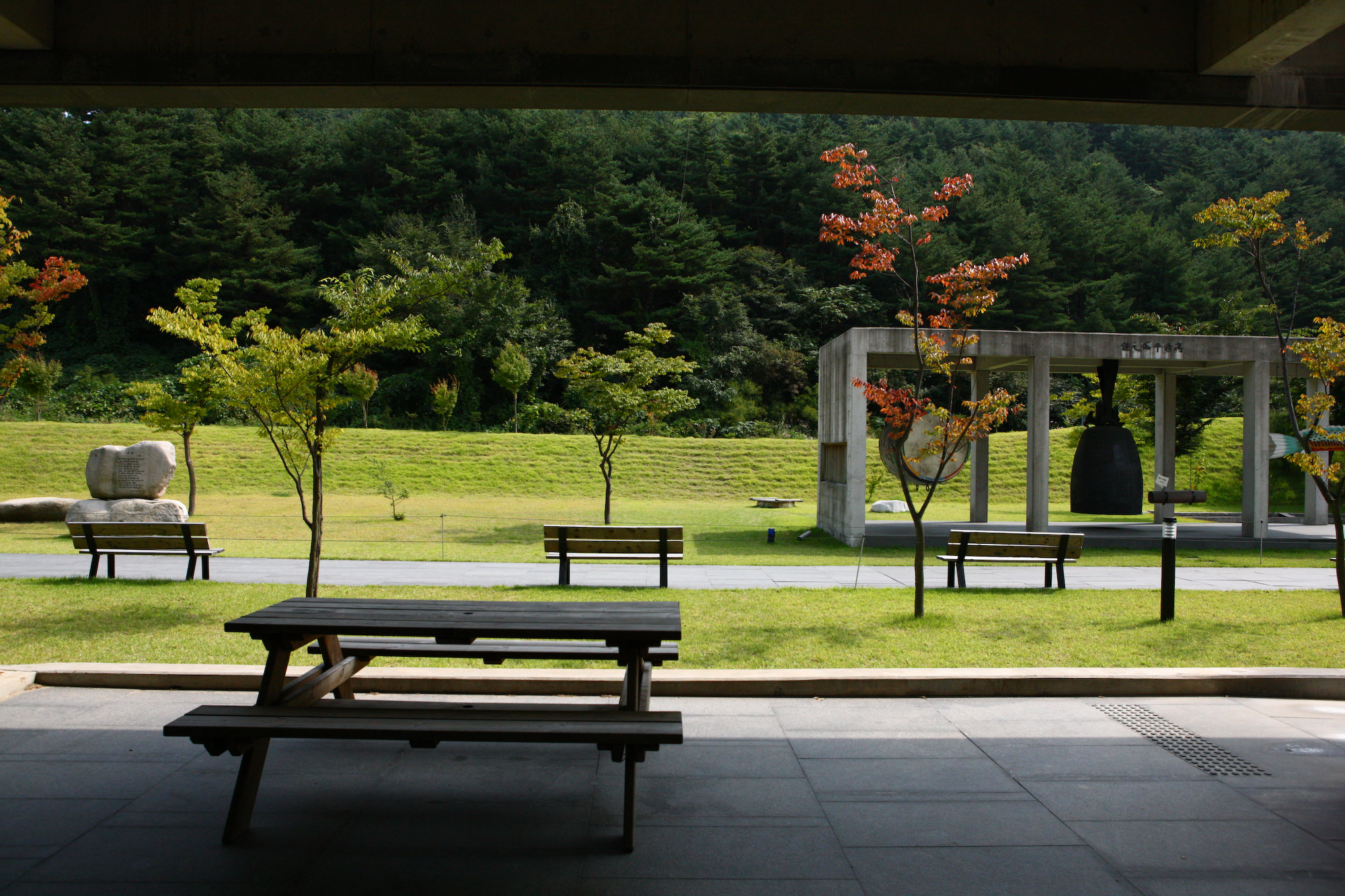
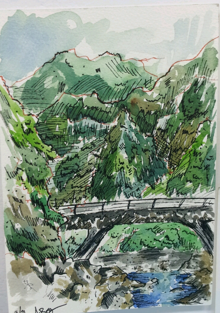
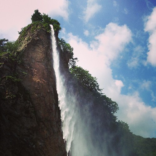
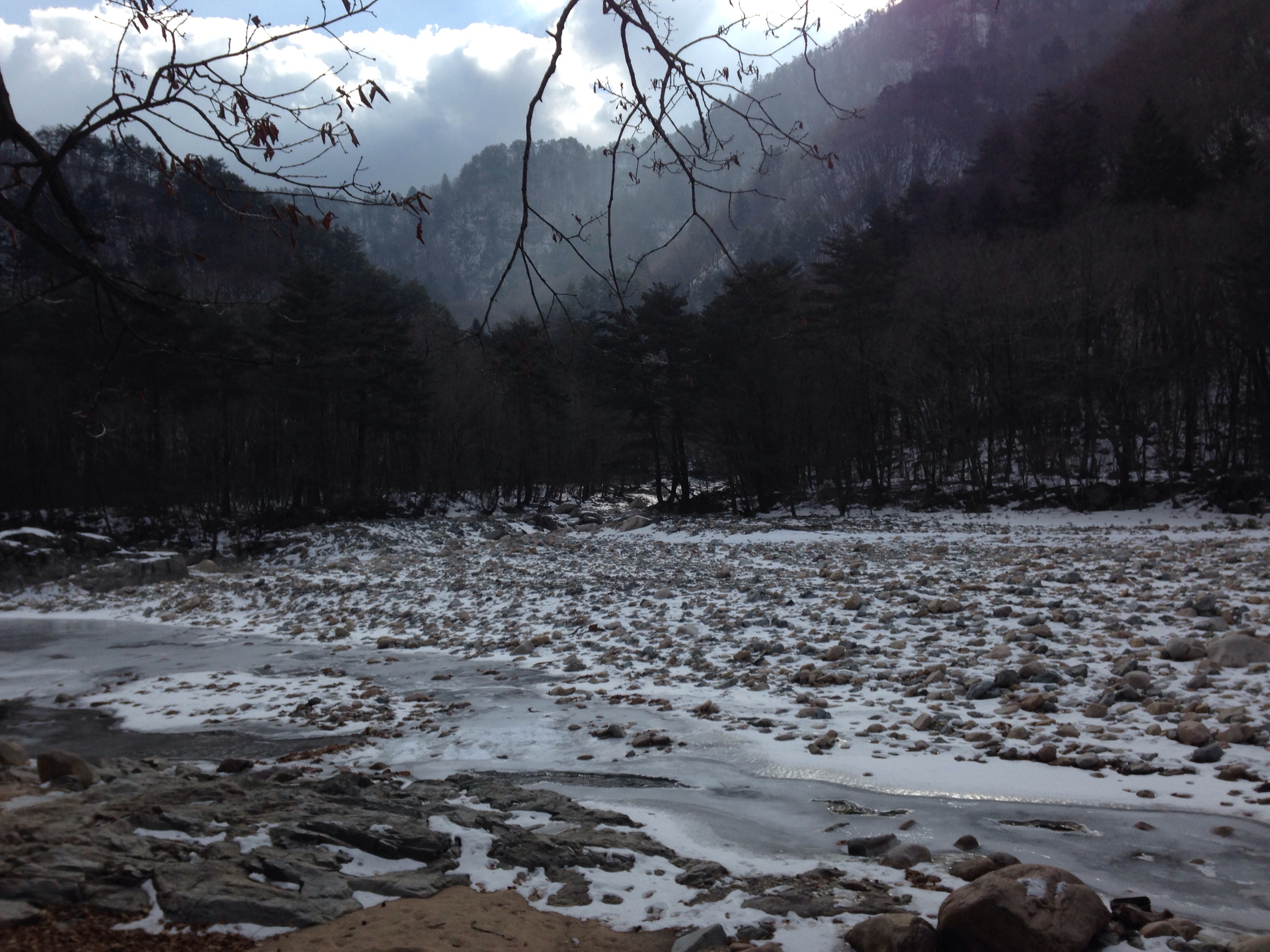
Related Photos:
KOREA_One of the Largest and Most Modern Buddhist Complexes: Manhae Village (Baekdamsa Temple, Gangwon-do)
Hidden Mountain Bridge

설악산

설악산
인공치곤 고퀄이네 ㅎㅎ
설악산 백담사, 2013-01-18
IMG_1900 e
IMG_2868 - Version 2
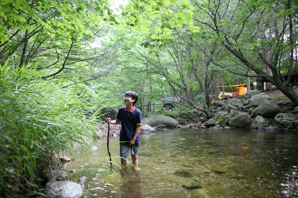
P20160731_071840640_FBA1C1A1-A318-4496-BEAD-0D491B0F0914
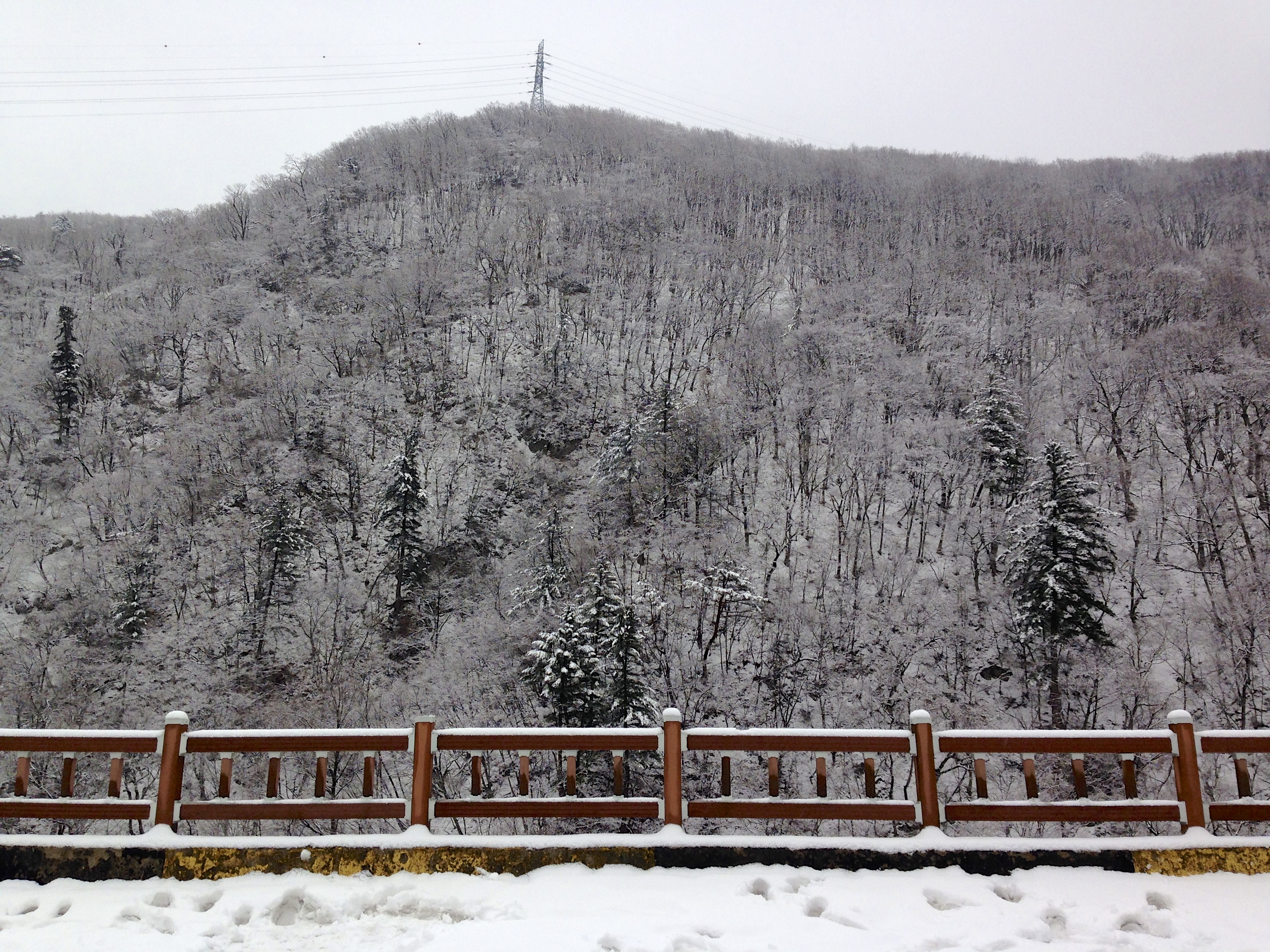
P20160729_170007287_99F3A770-FF97-48A5-99F4-58B449C6DA28

Visitor Meanwhile
Topographic Map of Taebaek Mountains, Seohwa-myeon, Inje-gun
Find elevation by address:

Places near Taebaek Mountains, Seohwa-myeon, Inje-gun:
Recent Searches:
- Elevation of Corso Fratelli Cairoli, 35, Macerata MC, Italy
- Elevation of Tallevast Rd, Sarasota, FL, USA
- Elevation of 4th St E, Sonoma, CA, USA
- Elevation of Black Hollow Rd, Pennsdale, PA, USA
- Elevation of Oakland Ave, Williamsport, PA, USA
- Elevation of Pedrógão Grande, Portugal
- Elevation of Klee Dr, Martinsburg, WV, USA
- Elevation of Via Roma, Pieranica CR, Italy
- Elevation of Tavkvetili Mountain, Georgia
- Elevation of Hartfords Bluff Cir, Mt Pleasant, SC, USA