Elevation of Inje-gun, Gangwon-do, South Korea
Location: South Korea > Gangwon-do >
Longitude: 128.170699
Latitude: 38.0694675
Elevation: 231m / 758feet
Barometric Pressure: 99KPa
Elevation Map:
Satellite Map:
Related Photos:
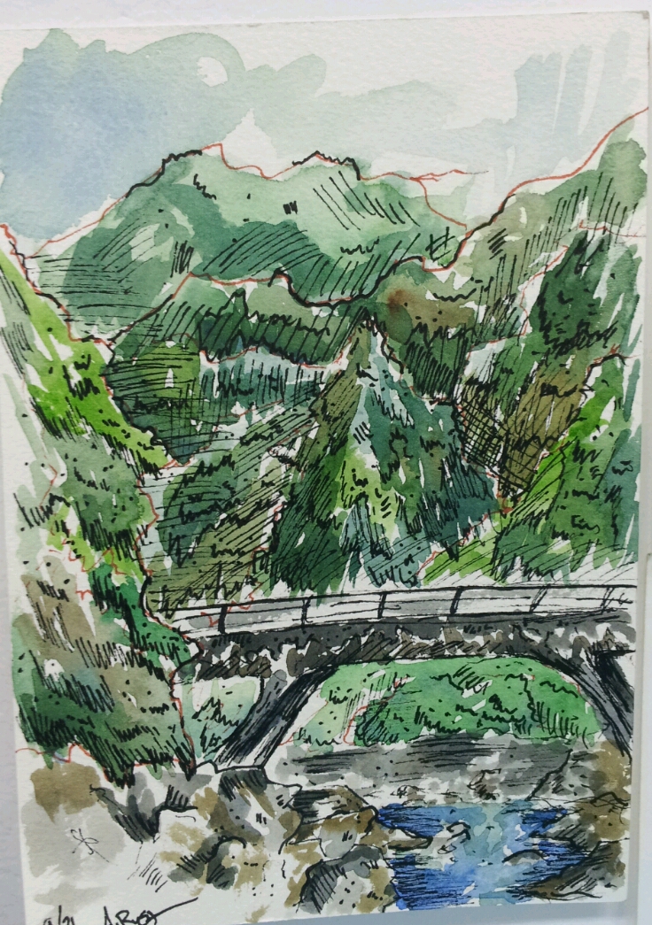
Hidden Mountain Bridge
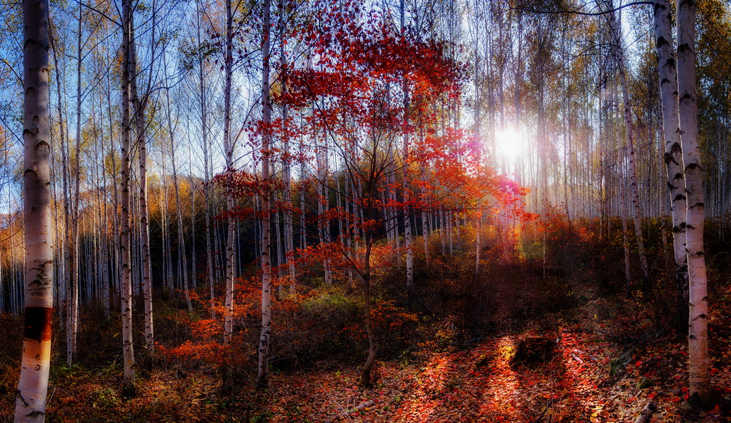
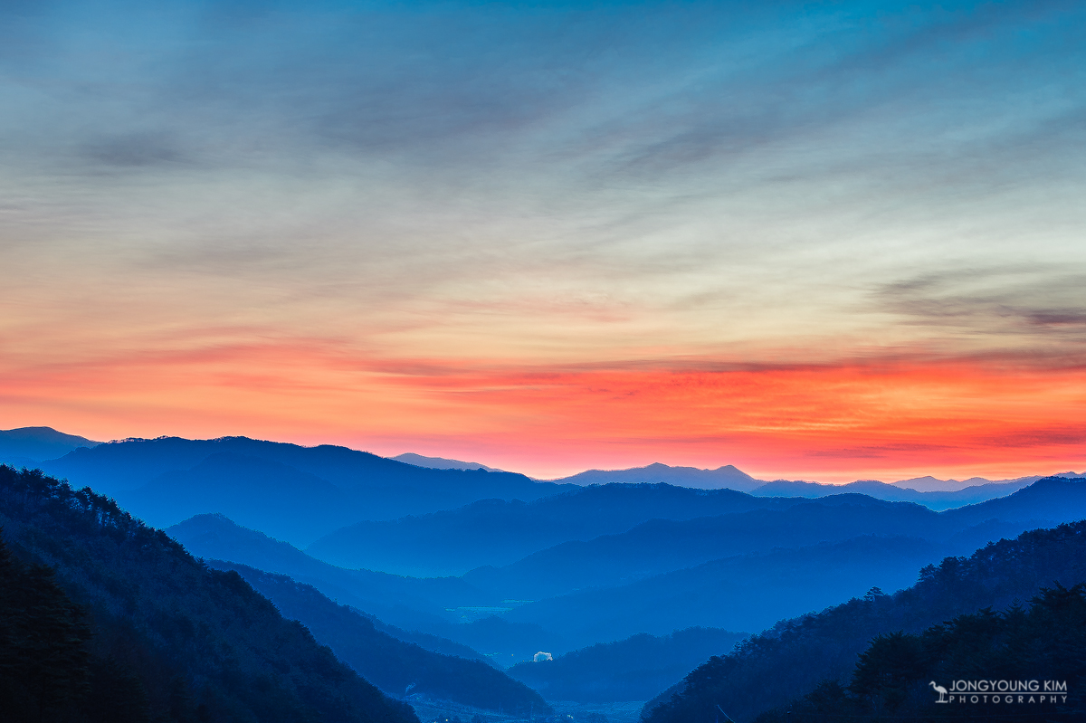
The morning sun beamed down on us
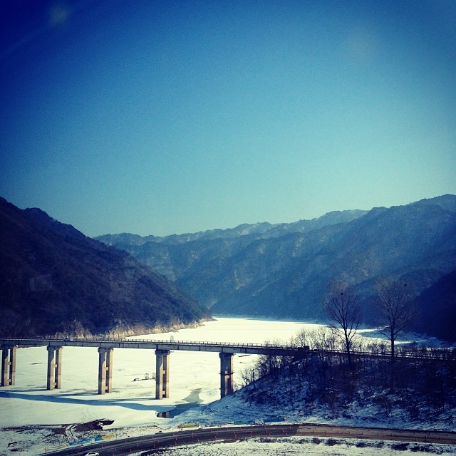
주위로 보이는 것이 온통 산이로고...~ 강원도에 왔다는게 이제야 실감난다.
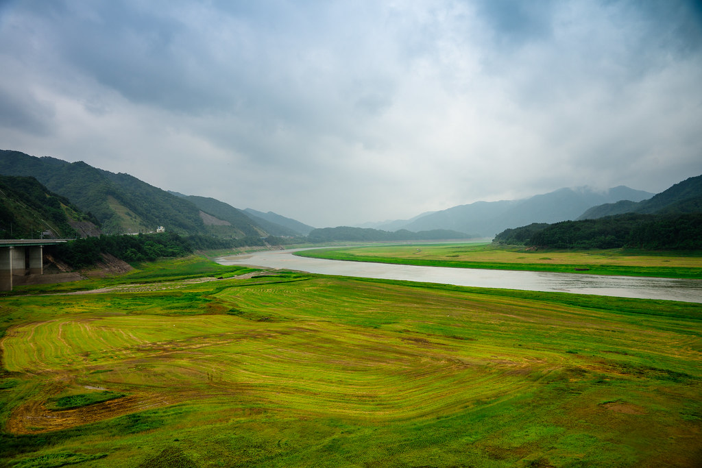
SOYANG RIVER
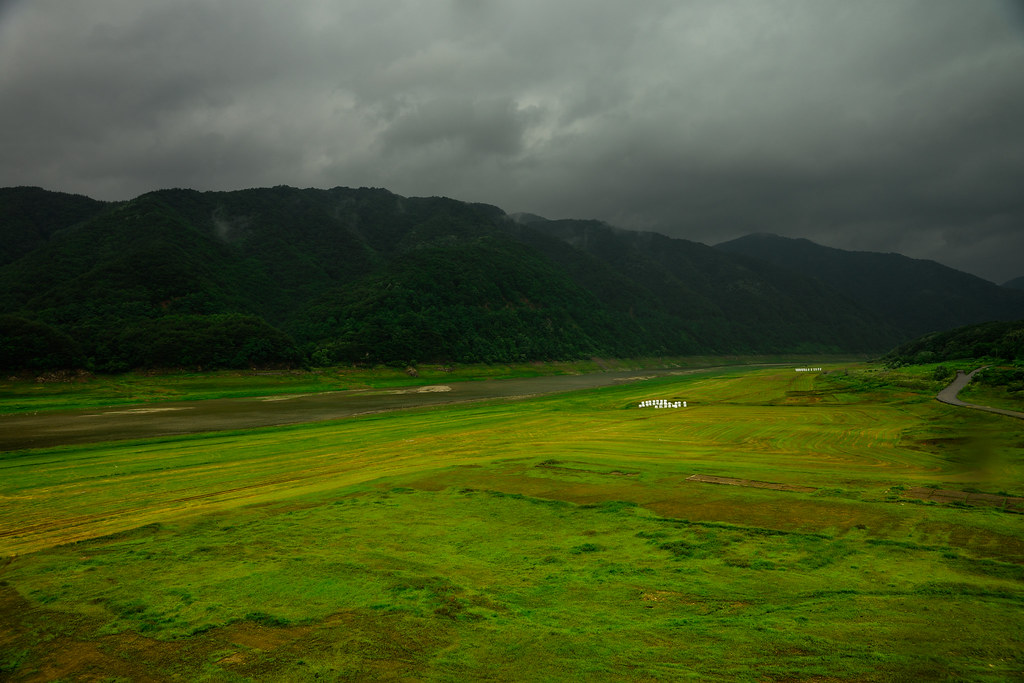
SOYANG RIVER
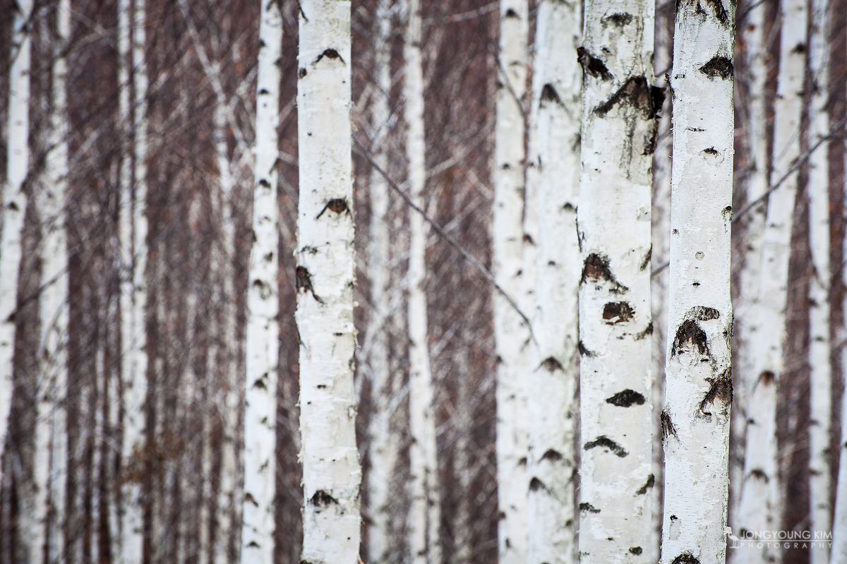
DSC_8875-1200_1
DSC_8749-1200_1
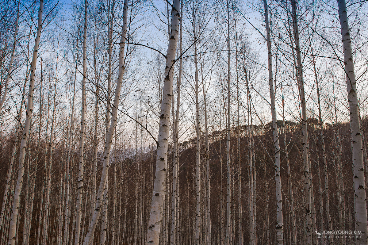
DSC_8801-1200_1

Visitor Meanwhile
Topographic Map of Inje-gun, Gangwon-do, South Korea
Find elevation by address:

Places in Inje-gun, Gangwon-do, South Korea:
Places near Inje-gun, Gangwon-do, South Korea:
Recent Searches:
- Elevation of Corso Fratelli Cairoli, 35, Macerata MC, Italy
- Elevation of Tallevast Rd, Sarasota, FL, USA
- Elevation of 4th St E, Sonoma, CA, USA
- Elevation of Black Hollow Rd, Pennsdale, PA, USA
- Elevation of Oakland Ave, Williamsport, PA, USA
- Elevation of Pedrógão Grande, Portugal
- Elevation of Klee Dr, Martinsburg, WV, USA
- Elevation of Via Roma, Pieranica CR, Italy
- Elevation of Tavkvetili Mountain, Georgia
- Elevation of Hartfords Bluff Cir, Mt Pleasant, SC, USA