Elevation of Tableau Rd, Bullhead City, AZ, USA

Location: United States > Arizona > Mohave County > Bullhead City >

Longitude: -114.58966

Latitude: 34.991769

Elevation: 166m / 545feet

Barometric Pressure: 99KPa

Elevation Map:

elevation map of Tableau Rd, Bullhead City, AZ, USA

Satellite Map:

Satellite map of Tableau Rd, Bullhead City, AZ, USA

Related Photos:

Southerly View
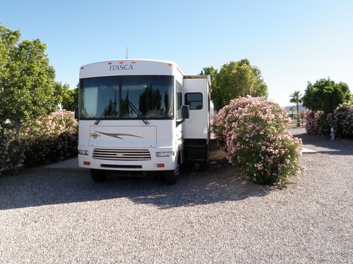
california park view desert may rv needles campground campsite 2010
Site 24
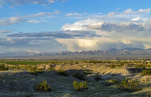
needlescalifornia mohavevalley lateafternoon clouds arizona
The Mohave Valley at Needles, California
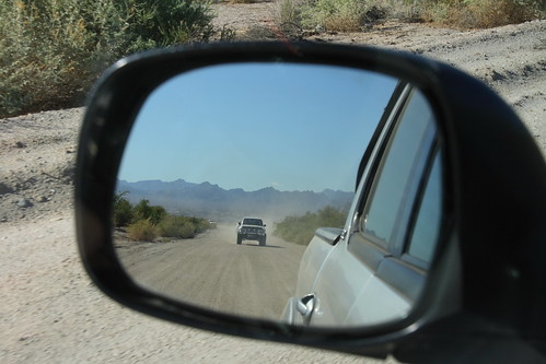
california usa digital canon geotagged eos rebel desert nevada rearviewmirror mojave northamerica californie mojavenationalpreserve mojaveroad xti geo:lat=350507166666667 geo:lon=11465305
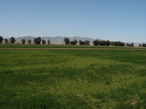
Rear View Mojave Road
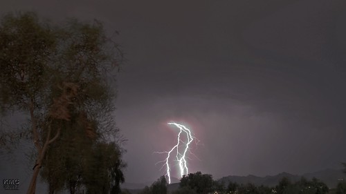
summer storm night monsoon lightning laughlin
Lightning show outside of Laughlin, NV
summer storm night monsoon lightning laughlin
Lightning Travels
california canon outdoors desert mojave transportation canondslr bnsf locomotives railroads alltrains movingtrains deserttrains sbcusa alltypesoftransport kenszok
Heading East toward Needles
View of Bullhead City and Laughlin, Nevada from Needles Highway, Laughlin, Nevada
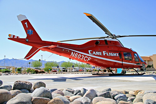
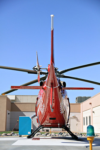
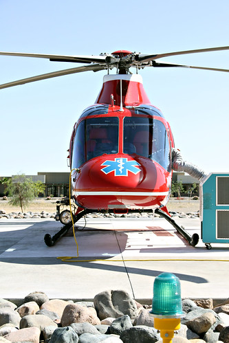
arizona rescue chopper air az ambulance helicopter medic paramedic spa llc rettungsdienst valleyview apu helipad heliport agusta medicalcenter notarzt medevac rotorcraft a119 rotarywing fortmohave camts n603cf tristatecareflight ftmohave thecommissiononaccreditationofmedicaltransportservices
Hella Pad - Fort Mohave, AZ USA
arizona nevada rivers coloradoriver bullheadcity lodgeontheriver riverratzreuniontrip2014
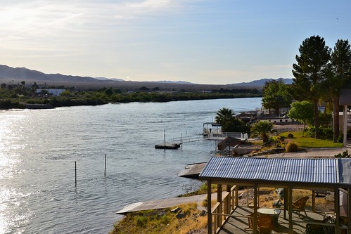
Morning on the river
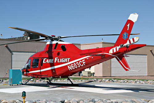
arizona rescue chopper air az ambulance helicopter medic paramedic spa llc rettungsdienst valleyview apu helipad heliport agusta medicalcenter notarzt medevac rotorcraft a119 rotarywing fortmohave camts n603cf tristatecareflight ftmohave thecommissiononaccreditationofmedicaltransportservices
"Care Flight One" - Fort Mohave, AZ USA
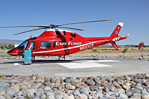
arizona rescue chopper air az ambulance helicopter medic paramedic spa llc rettungsdienst valleyview apu helipad heliport agusta medicalcenter notarzt medevac rotorcraft a119 rotarywing fortmohave camts n603cf tristatecareflight ftmohave thecommissiononaccreditationofmedicaltransportservices
Always Ready - Fort Mohave, AZ USA
View of Bullhead City and Laughlin, Nevada from Needles Highway, Laughlin, Nevada
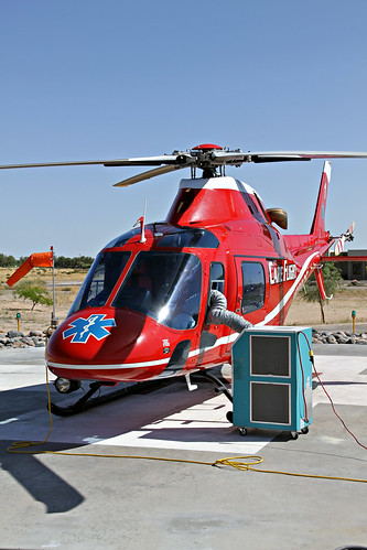
arizona rescue chopper air az ambulance helicopter medic paramedic spa llc rettungsdienst valleyview apu helipad heliport agusta medicalcenter notarzt medevac rotorcraft a119 rotarywing fortmohave camts n603cf tristatecareflight ftmohave thecommissiononaccreditationofmedicaltransportservices
Keepin' Cool - Fort Mohave, AZ USA
arizona rescue chopper air az ambulance helicopter medic paramedic spa llc rettungsdienst valleyview apu helipad heliport agusta medicalcenter notarzt medevac rotorcraft a119 rotarywing fortmohave camts n603cf tristatecareflight ftmohave thecommissiononaccreditationofmedicaltransportservices
Crosswind Component - Fort Mohave, AZ USA
arizona rescue chopper air az ambulance helicopter medic paramedic spa llc rettungsdienst valleyview apu helipad heliport agusta medicalcenter notarzt medevac rotorcraft a119 rotarywing fortmohave camts n603cf tristatecareflight ftmohave thecommissiononaccreditationofmedicaltransportservices
AGUSTA in April - Fort Mohave, AZ USA
arizona rescue chopper air az ambulance helicopter augusta medic paramedic spa llc rettungsdienst valleyview apu helipad heliport agusta medicalcenter notarzt medevac rotorcraft a119 rotarywing fortmohave camts n603cf tristatecareflight ftmohave thecommissiononaccreditationofmedicaltransportservices
A Heartbeat Away - Fort Mohave, AZ USA
Colorado River Plain Near California-Nevada Border, Needles, Highway
mohave desert ftmohave arrizona colorado river water color travel beauty sunset bullheadcityaz
Colorado River at Sunset
camera sunset arizona color photography photo desert visit mojave oatman highway66
Oatman Sunset
arizona route66 scenery goldenvalley sal50f14 desert loneliness day sony50mmf14 konicaminoltadynax7d dslr landscape primelens amount attraction spot landmark tourism traveldestination travelphotography vacation usa etatsunis eua estadosunidos travel nature sight natural
Route 66, AZ
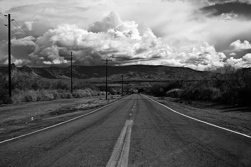
road arizona sky blackandwhite mountains clouds landscape delete2 route66 highway desert save3 save7 save8 delete save save2 brush fave powerlines save9 save4 mojave save5 save10 save6 cloudscape blackmountains endless hotbox 2011 savedbythehotboxuncensoredgroup felizmojavedad
An ancestor wants a slogan.
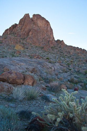
arizona desert hiking pentaxk20d
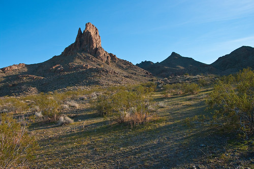
Cathedral Rock
wild usa art america landscape nikon nevada gimp photograph majestic geo anything 702 funnin photograghy fotocompetition fotocompetitionbronze
Hang in There
Eastward on Oatman Road
road arizona mountain clouds landscape iphone iphoneography blinkagain iphone4s
Golden Vally AZ
arizona cactus mountains route66 rocks desert dry brush hills wilderness bushes arid oatman
Route 66 Arizona
0309 IMG_7066
arizona mohave oatman
Boundary Cone Near Oatman, Arizona (5)
road arizona mountain route66 desert mojave blacktop oatman boundarycone
Come on a risin' wind, we're going up around the bend
california arizona usa river nikon coloradoriver needles mohavevalley d7000
032814-603F
arizona desert hiking pentaxk20d
Cathedral Rock
california usa desert mojave northamerica sanbernardinocounty mojavenationalpreserve mojaveroad
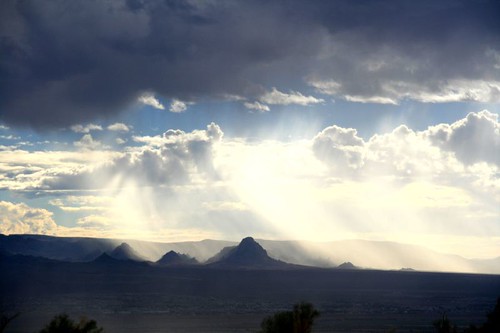
Rain in Piute Valley
arizona mohave mohavevalley
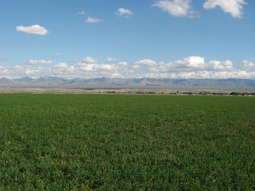
Mohave Valley, Arizona
Landscape South of Laughlin, Nevada Near Arizona and California Borders
arizona mohave oatman
S.R. 95, Fort Mojave Indian Reservation, Arizona
Landscape South of Laughlin, Nevada Near Arizona and California Borders
arizona desert hiking pentaxk20d
Cathedral Rock