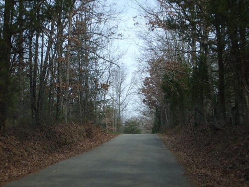
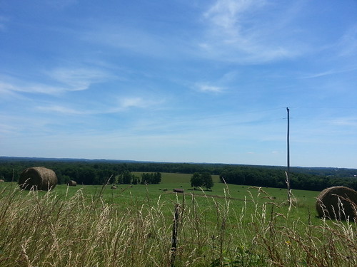
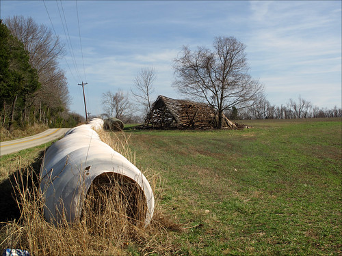
Elevation of T Mc Reynolds Rd, Lewisburg, KY, USA
Location: United States > Kentucky > Logan County >
Longitude: -86.832834
Latitude: 37.0415363
Elevation: 161m / 528feet
Barometric Pressure: 99KPa
Related Photos:
Topographic Map of T Mc Reynolds Rd, Lewisburg, KY, USA
Find elevation by address:

Places near T Mc Reynolds Rd, Lewisburg, KY, USA:
968 Coon Range Lake Rd
Lost City Rd, Russellville, KY, USA
2991 Lost City Rd
Lewisburg Rd, Lewisburg, KY, USA
Lewisburg
Stacker St, Lewisburg, KY, USA
950 Stringtown Rd
271 Arndell Rd
Logan Aluminum Gate 1
Deerlick Rd, Lewisburg, KY, USA
2660 Russellville Rd
Dunmor
US-, Dunmor, KY, USA
Logan County
Hullett Ln, Rockfield, KY, USA
Rochester
497 Jackie Dukes Rd
Echo Valley Rd, Auburn, KY, USA
Russellville
260 Myers Chapel Rd
Recent Searches:
- Elevation of Corso Fratelli Cairoli, 35, Macerata MC, Italy
- Elevation of Tallevast Rd, Sarasota, FL, USA
- Elevation of 4th St E, Sonoma, CA, USA
- Elevation of Black Hollow Rd, Pennsdale, PA, USA
- Elevation of Oakland Ave, Williamsport, PA, USA
- Elevation of Pedrógão Grande, Portugal
- Elevation of Klee Dr, Martinsburg, WV, USA
- Elevation of Via Roma, Pieranica CR, Italy
- Elevation of Tavkvetili Mountain, Georgia
- Elevation of Hartfords Bluff Cir, Mt Pleasant, SC, USA


