Elevation of Stacker St, Lewisburg, KY, USA
Location: United States > Kentucky > Logan County > Lewisburg >
Longitude: -86.947497
Latitude: 36.9863902
Elevation: 146m / 479feet
Barometric Pressure: 100KPa
Elevation Map:
Satellite Map:
Related Photos:

Lake Malone damselfly...
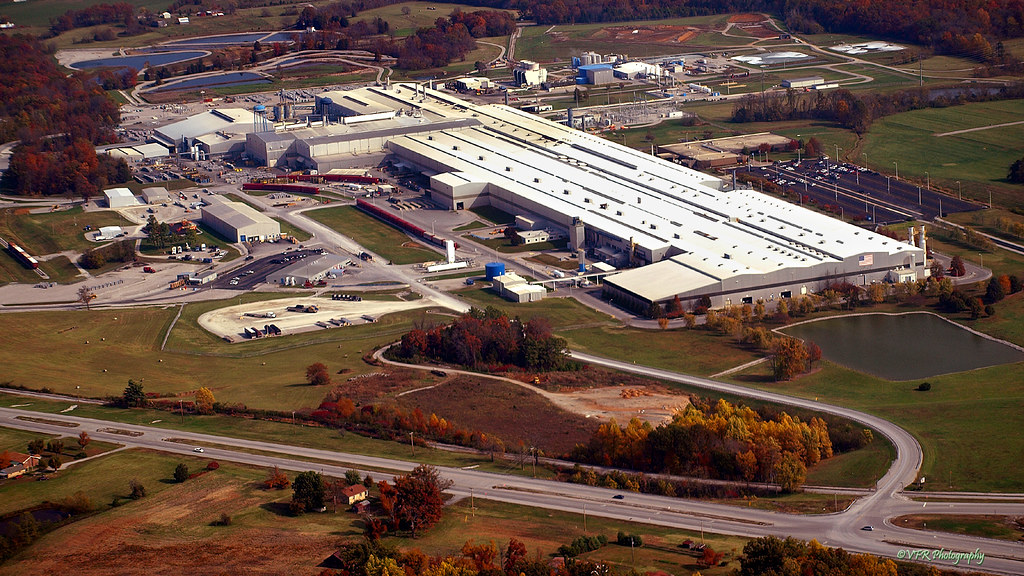
Logan Aluminum rolling mill - Russellville, Logan County, Kentucky
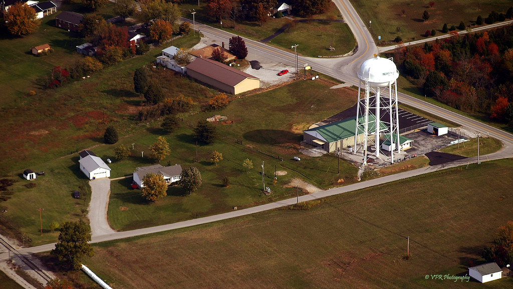
Flying north of Russellville, Logan County, Kentucky
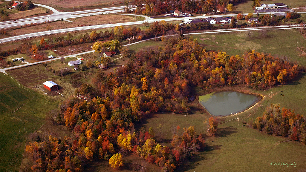
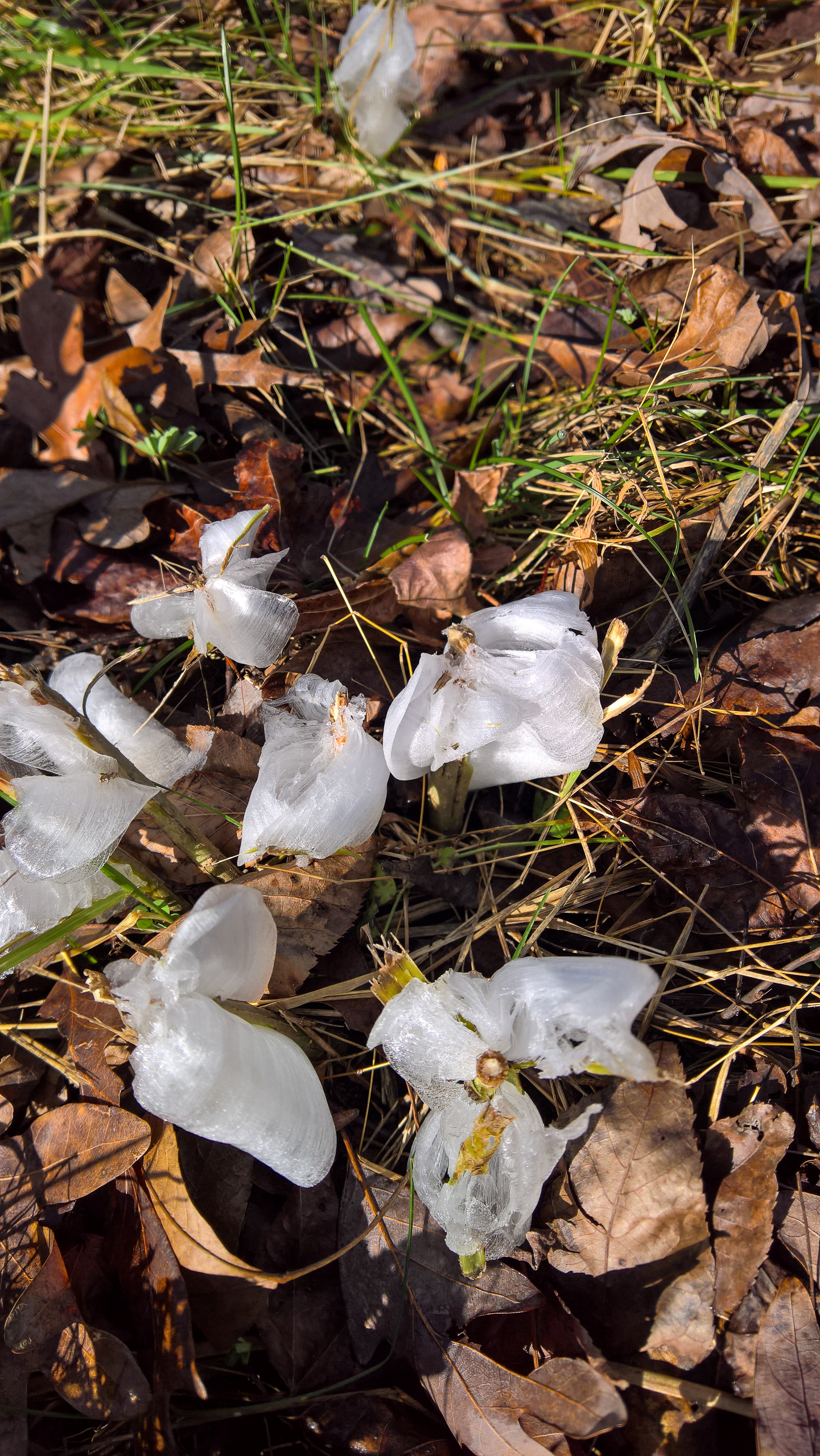
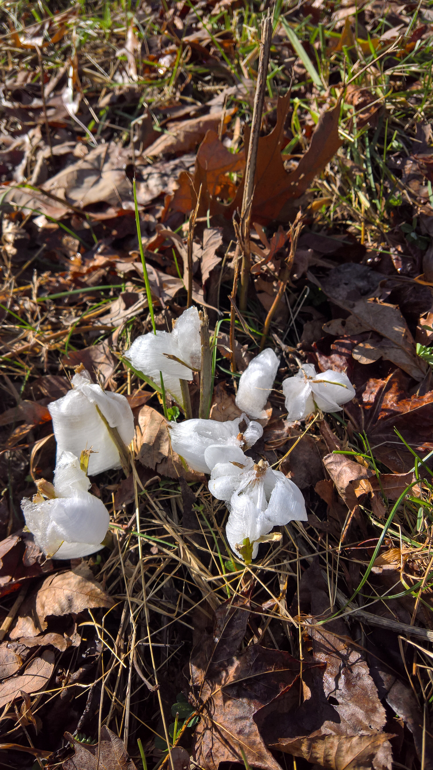
More Fall Field Fleas of the Logan County, Kentucky variety...
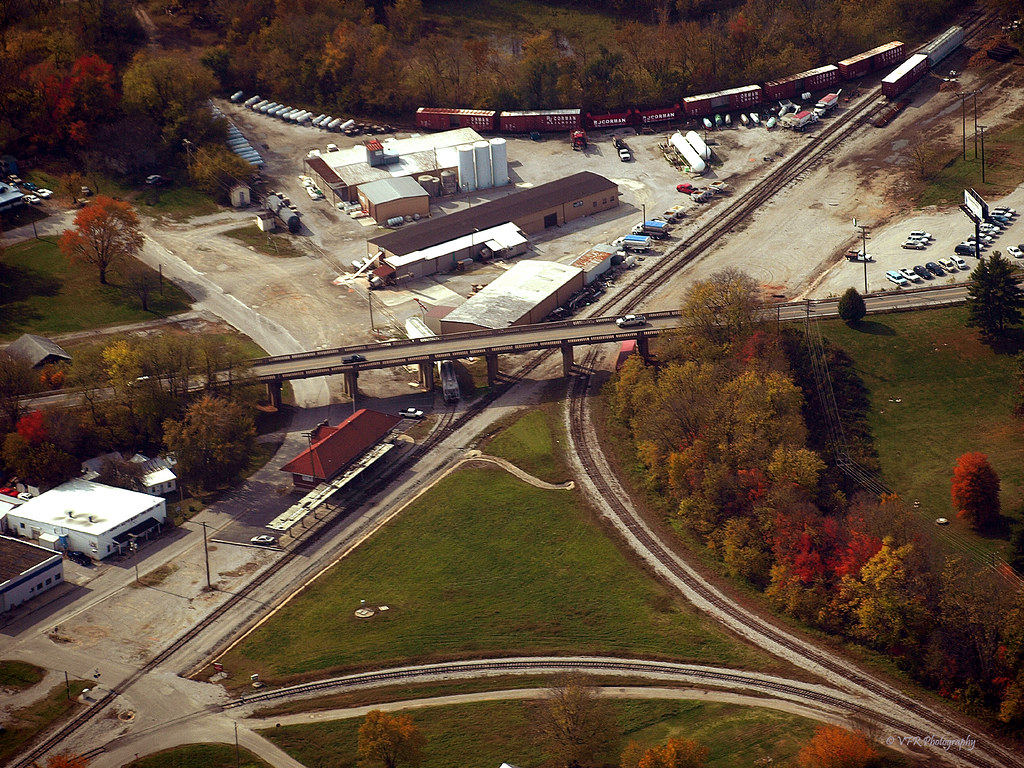
RJ Corman wye and depot - Russellville, Logan County, Kentucky

alone in a crowd
WP_20151122_10_00_09_Rich_LI.jpg
WP_20151122_10_00_16_Rich_LI.jpg
WP_20151122_10_05_23_Pro_LI.jpg

Lake Malone strata...
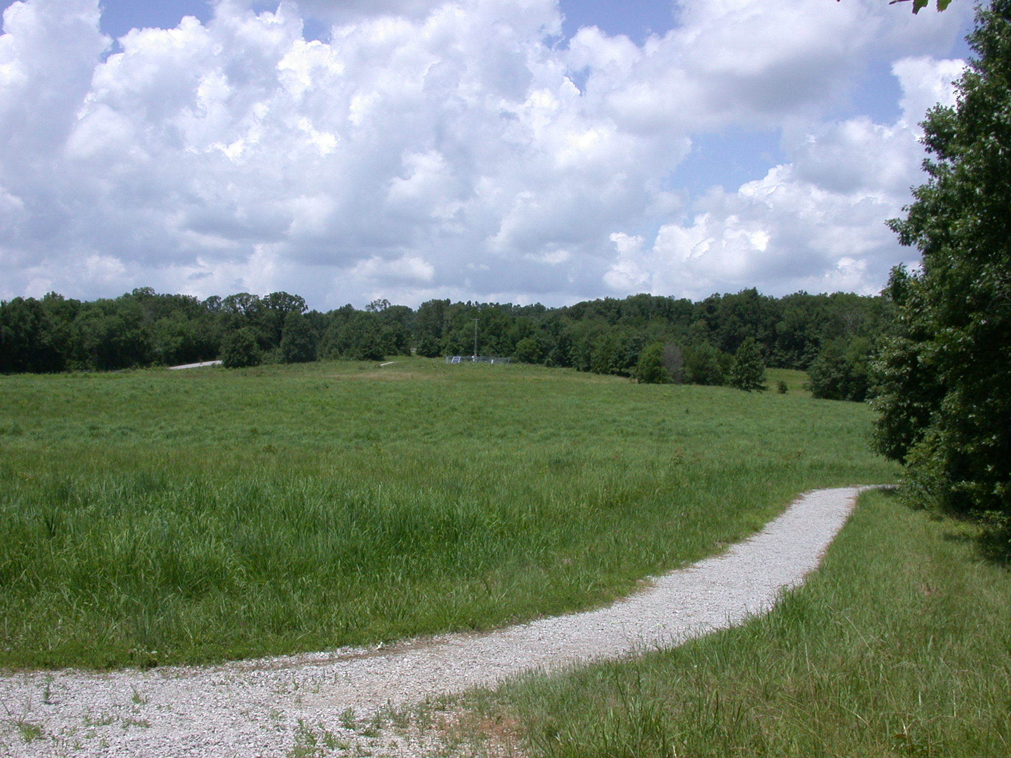
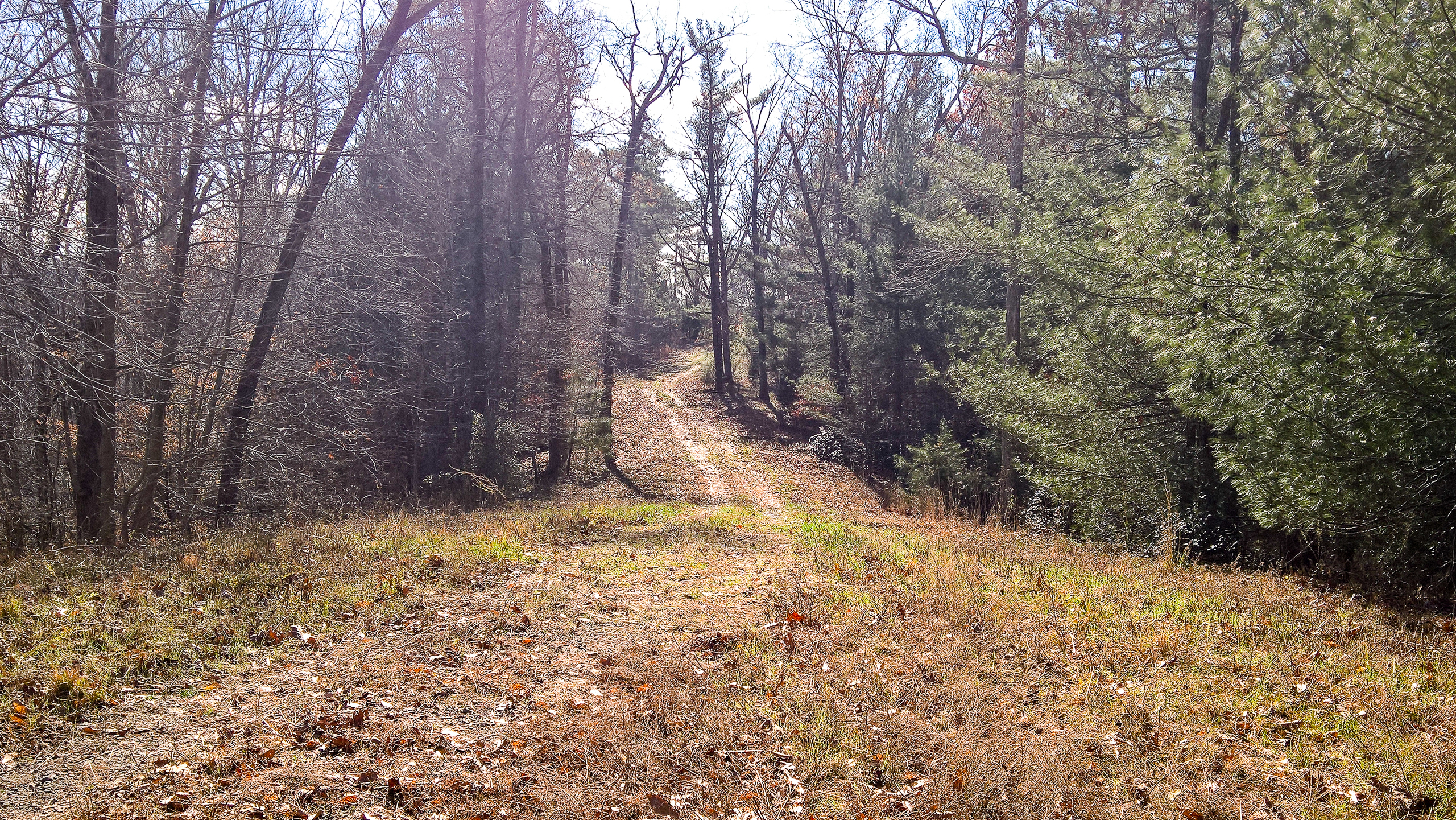
Meadow trail
Topographic Map of Stacker St, Lewisburg, KY, USA
Find elevation by address:

Places near Stacker St, Lewisburg, KY, USA:
Lewisburg
Lewisburg Rd, Lewisburg, KY, USA
Lost City Rd, Russellville, KY, USA
Deerlick Rd, Lewisburg, KY, USA
2991 Lost City Rd
Logan Aluminum Gate 1
968 Coon Range Lake Rd
Dunmor
US-, Dunmor, KY, USA
497 Jackie Dukes Rd
104 B Nealy Rd
2785 T Mc Reynolds Rd
Logan County
Marshall Court
Russellville
260 Myers Chapel Rd
148 Sherwood Point Ln
Belton
Greenville Rd, Lewisburg, KY, USA
555 Morton Rd
Recent Searches:
- Elevation of Corso Fratelli Cairoli, 35, Macerata MC, Italy
- Elevation of Tallevast Rd, Sarasota, FL, USA
- Elevation of 4th St E, Sonoma, CA, USA
- Elevation of Black Hollow Rd, Pennsdale, PA, USA
- Elevation of Oakland Ave, Williamsport, PA, USA
- Elevation of Pedrógão Grande, Portugal
- Elevation of Klee Dr, Martinsburg, WV, USA
- Elevation of Via Roma, Pieranica CR, Italy
- Elevation of Tavkvetili Mountain, Georgia
- Elevation of Hartfords Bluff Cir, Mt Pleasant, SC, USA