Elevation of Sweetwater Rd, Philadelphia, TN, USA
Location: United States > Tennessee > Roane County >
Longitude: -84.534685
Latitude: 35.692758
Elevation: 274m / 899feet
Barometric Pressure: 98KPa
Elevation Map:
Satellite Map:
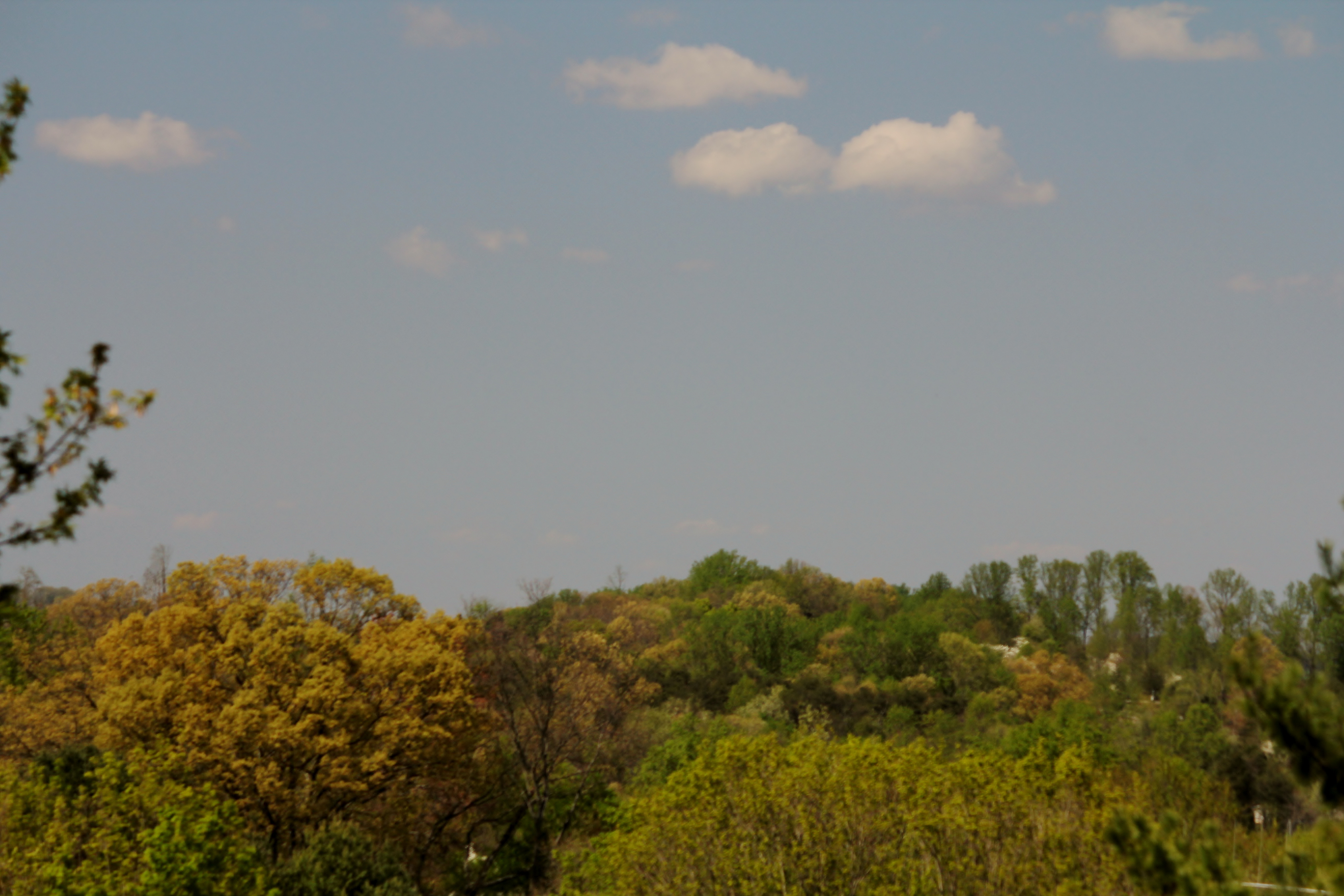
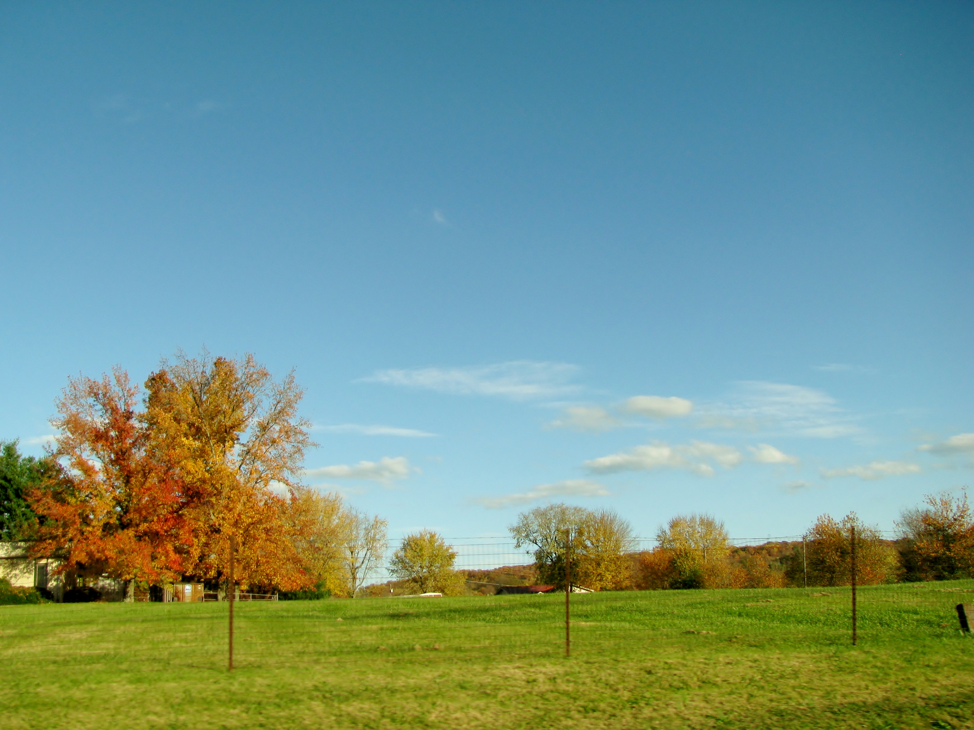
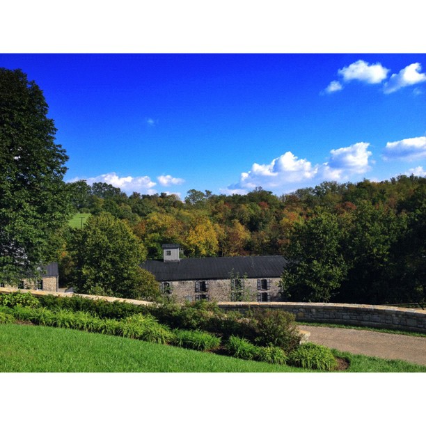
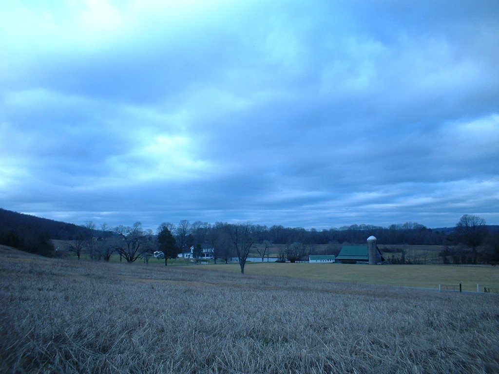
Related Photos:

View from my Aunt Pam and Uncle Jim's lake house
mom' view from back porch

1953 Studebaker Commander Starlight Coupe

Our evening view last night. #wattsbarlake #Tennessee
random pic

Beside the bridge on walking trail from the Duck Park

Cows in the Country
#squaready,#photooftheday,#photomania_,#instagram,#iphone4s,#iphonography,#iphone4sonly,#645pro,#woodfordreserve,#blackandwhite,#kentucky,#bourbon,#thecloudchasers,#sky

lumber yard in sweetwater tn

Sweetwater TN

trees at walking trail

Main channel outside of entrance to Blue Springs. Beautiful.

Storm Run off
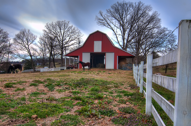
Happy Hollow Farm
Happy Hollow Farm, Oakland Road, Sweetwater, Tennessee, 2-15-2003
Stable Living

Perfect weather all week and what a perfect ending - a beautiful sunset. #wbl #vacation

happy and pedro
2015-07-14 09.49.20

2015-07-14 09.53.37
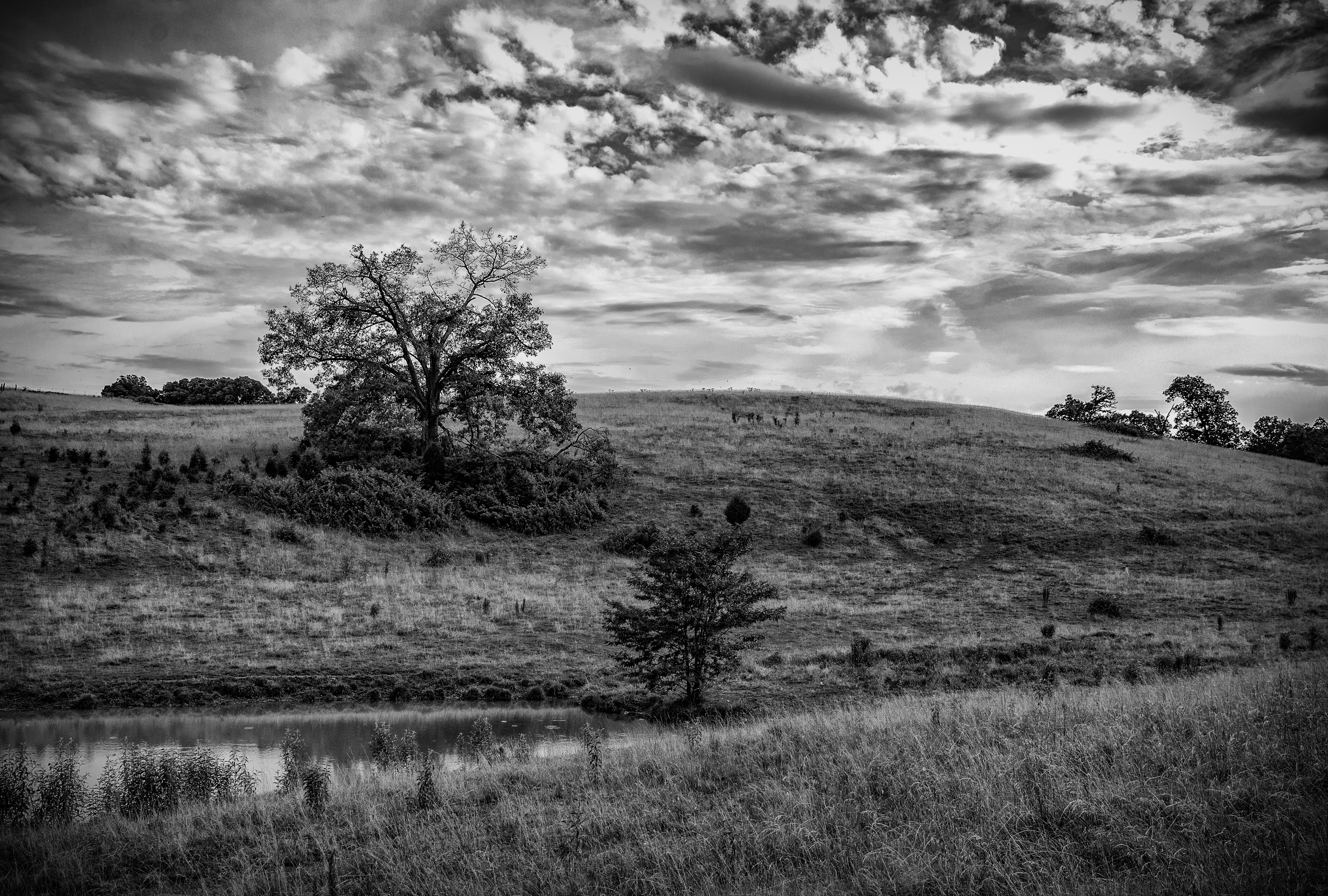
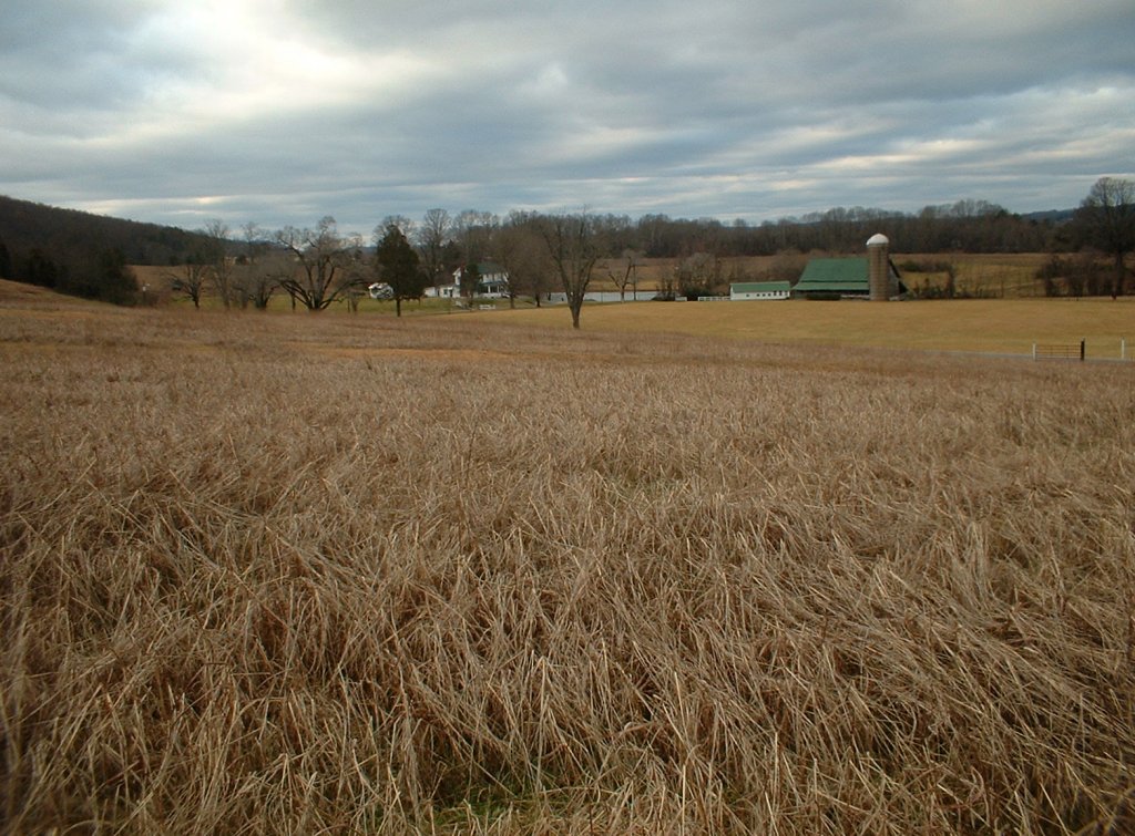
Rolling Farmland
Topographic Map of Sweetwater Rd, Philadelphia, TN, USA
Find elevation by address:

Places near Sweetwater Rd, Philadelphia, TN, USA:
Stockton Valley Rd, Loudon, TN, USA
1655 Dry Fork Valley Rd
Ponders Gap Rd, Ten Mile, TN, USA
391 Barnard Narrows Rd
399 Lawhon Farm Rd
149 Lakeview Ln
Shoeboot Rd, Kingston, TN, USA
204 Melea Ln
1200 Paint Rock Rd
Prospect Church Rd, Loudon, TN, USA
8501 Dry Valley Rd
133 Highland Reserve Way
132 Morris Rd
Prospect Church Road
207 Old Ridge Rd
Matlock Shores Road
Hickory Lane
New Midway Rd, Kingston, TN, USA
W Rockwood Ferry Rd, Ten Mile, TN, USA
201 Branham Hollow Rd
Recent Searches:
- Elevation of Corso Fratelli Cairoli, 35, Macerata MC, Italy
- Elevation of Tallevast Rd, Sarasota, FL, USA
- Elevation of 4th St E, Sonoma, CA, USA
- Elevation of Black Hollow Rd, Pennsdale, PA, USA
- Elevation of Oakland Ave, Williamsport, PA, USA
- Elevation of Pedrógão Grande, Portugal
- Elevation of Klee Dr, Martinsburg, WV, USA
- Elevation of Via Roma, Pieranica CR, Italy
- Elevation of Tavkvetili Mountain, Georgia
- Elevation of Hartfords Bluff Cir, Mt Pleasant, SC, USA