Elevation of Sweetwater Cir, Rincon, GA, USA
Location: United States > Georgia > Effingham County > Rincon >
Longitude: -81.2098183
Latitude: 32.2981465
Elevation: 11m / 36feet
Barometric Pressure: 0KPa
Related Photos:

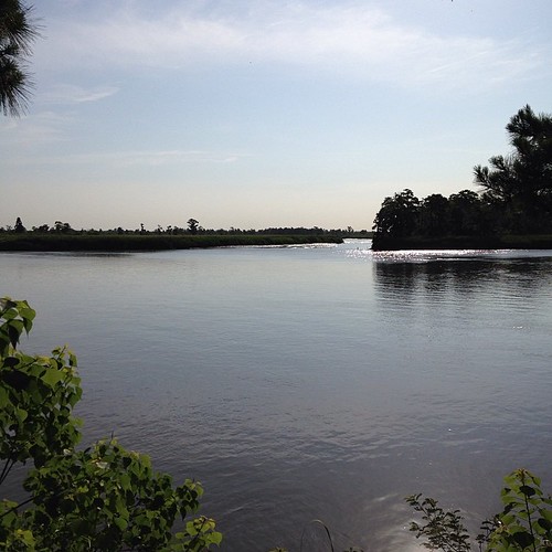
Admiring the View
Morning along the Savannah River at Drakie Plantation

Friday Sunrises are best
DSC_2702.jpg
Becks Ferry Landing, 1_2, 11/26/09, Jasper County SC

July22 (11 of 115)

Hummingbird-2859

DSC_2699.jpg

DSC_2635_6_7_HDR.jpg

Hummingbird-2854

Hummingbird-2796

Effingham Courthouse Painting

GA-SC Border

Approaching the Railroad Trestle

DSC_2672.jpg
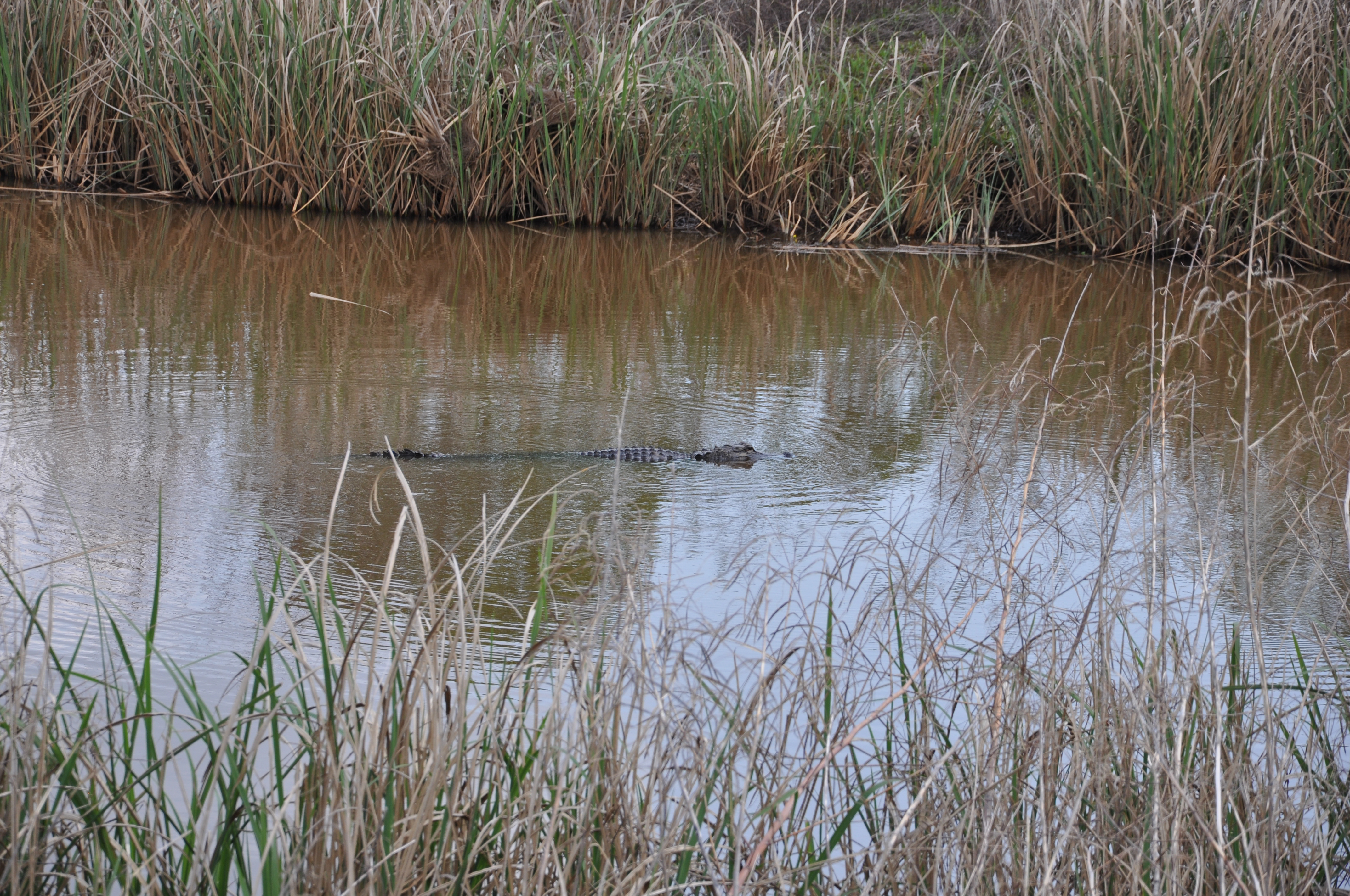
Ebenezer Creek kayaking

Pine Forest 1 Jasper County SC 12/00/11
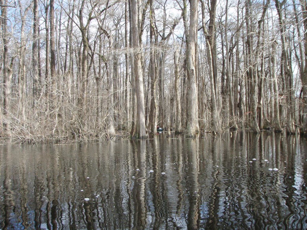
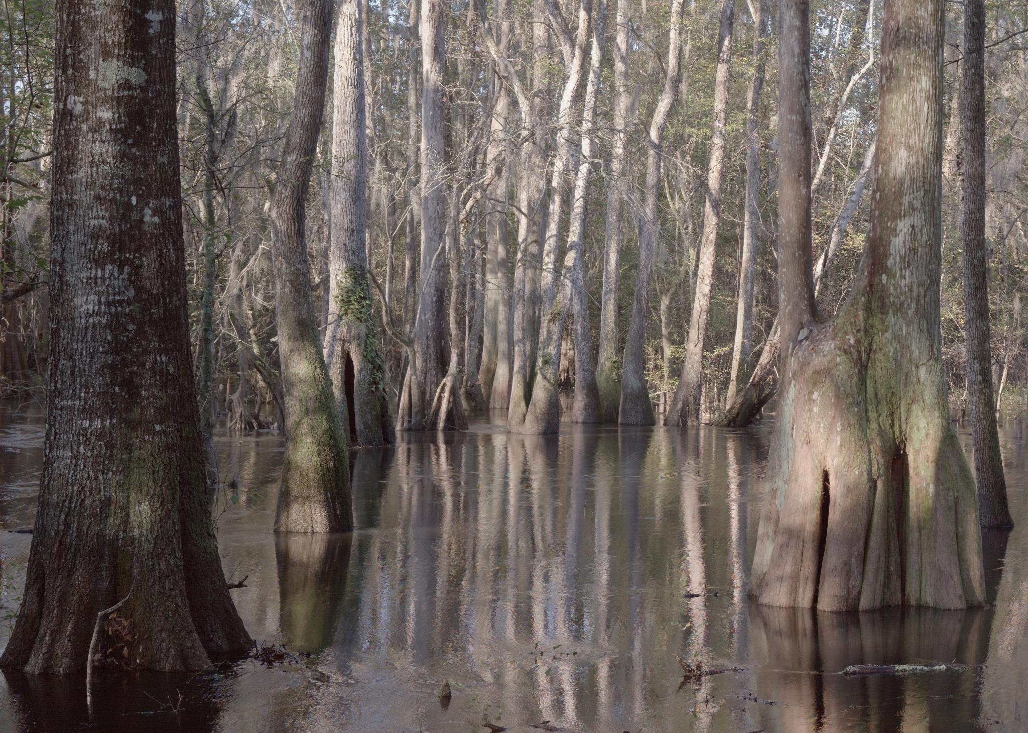
The cypress swamp
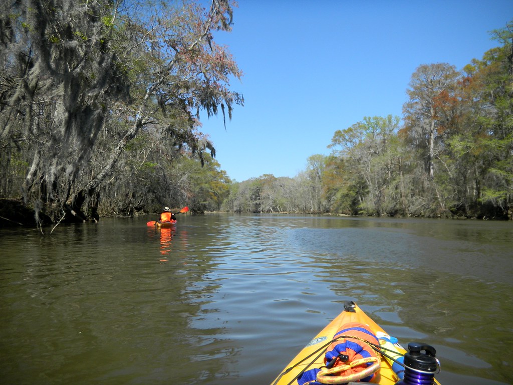
Paddling in the Oxbow Lake
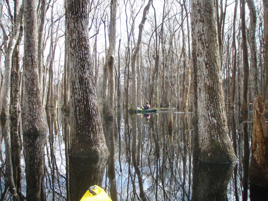
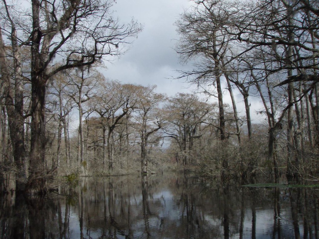
Inside the cypress swamp

Approaching the Wrecked Barge

Inside the cypress swamp
Topographic Map of Sweetwater Cir, Rincon, GA, USA
Find elevation by address:

Places near Sweetwater Cir, Rincon, GA, USA:
Fort Howard Road
604 Old Augusta Rd S
791 Old Augusta Rd S
Chimney Rd, Rincon, GA, USA
Parkway Drive
Parkway Drive
Miller Park Circle
Lafayette Court
18 Noble Jones Ct
18 Rice Mill Rd
10 Ga-405
6979 Purrysburg Rd
6979 Purrysburg Rd
121 Moonlight Trail
43 Moonlight Trail
8123 Purrysburg Rd
Black Creek Drive
501 Old Richmond Rd
Corsair Circle
240 Monteith Rd
Recent Searches:
- Elevation map of Greenland, Greenland
- Elevation of Sullivan Hill, New York, New York, 10002, USA
- Elevation of Morehead Road, Withrow Downs, Charlotte, Mecklenburg County, North Carolina, 28262, USA
- Elevation of 2800, Morehead Road, Withrow Downs, Charlotte, Mecklenburg County, North Carolina, 28262, USA
- Elevation of Yangbi Yi Autonomous County, Yunnan, China
- Elevation of Pingpo, Yangbi Yi Autonomous County, Yunnan, China
- Elevation of Mount Malong, Pingpo, Yangbi Yi Autonomous County, Yunnan, China
- Elevation map of Yongping County, Yunnan, China
- Elevation of North 8th Street, Palatka, Putnam County, Florida, 32177, USA
- Elevation of 107, Big Apple Road, East Palatka, Putnam County, Florida, 32131, USA
- Elevation of Jiezi, Chongzhou City, Sichuan, China
- Elevation of Chongzhou City, Sichuan, China
- Elevation of Huaiyuan, Chongzhou City, Sichuan, China
- Elevation of Qingxia, Chengdu, Sichuan, China
- Elevation of Corso Fratelli Cairoli, 35, Macerata MC, Italy
- Elevation of Tallevast Rd, Sarasota, FL, USA
- Elevation of 4th St E, Sonoma, CA, USA
- Elevation of Black Hollow Rd, Pennsdale, PA, USA
- Elevation of Oakland Ave, Williamsport, PA, USA
- Elevation of Pedrógão Grande, Portugal