Elevation map of Swat Tehsil, Pakistan
Location: Pakistan > Khyber Pakhtunkhwa > Swat >
Longitude: 72.6151169
Latitude: 35.4210752
Elevation: 2271m / 7451feet
Barometric Pressure: 0KPa
Related Photos:

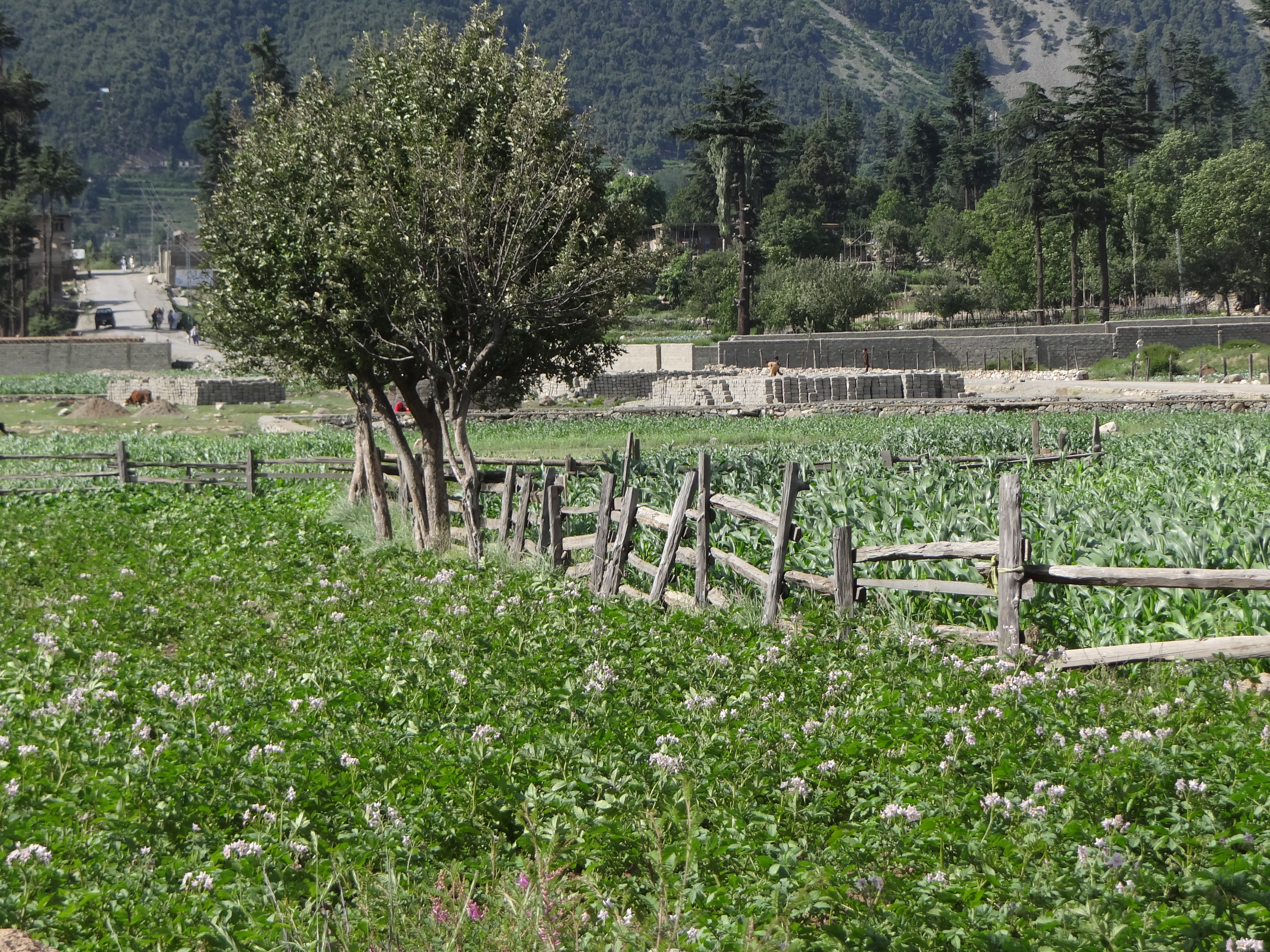
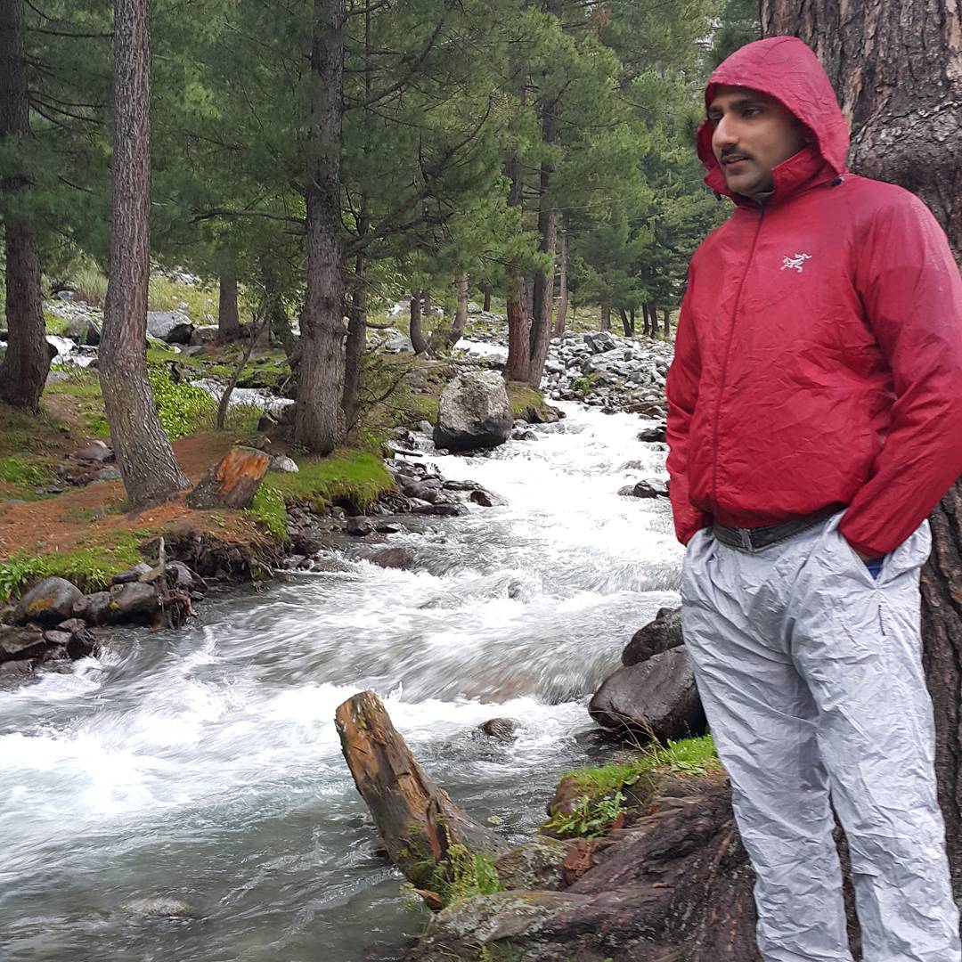
Swat Kalam Pakistan
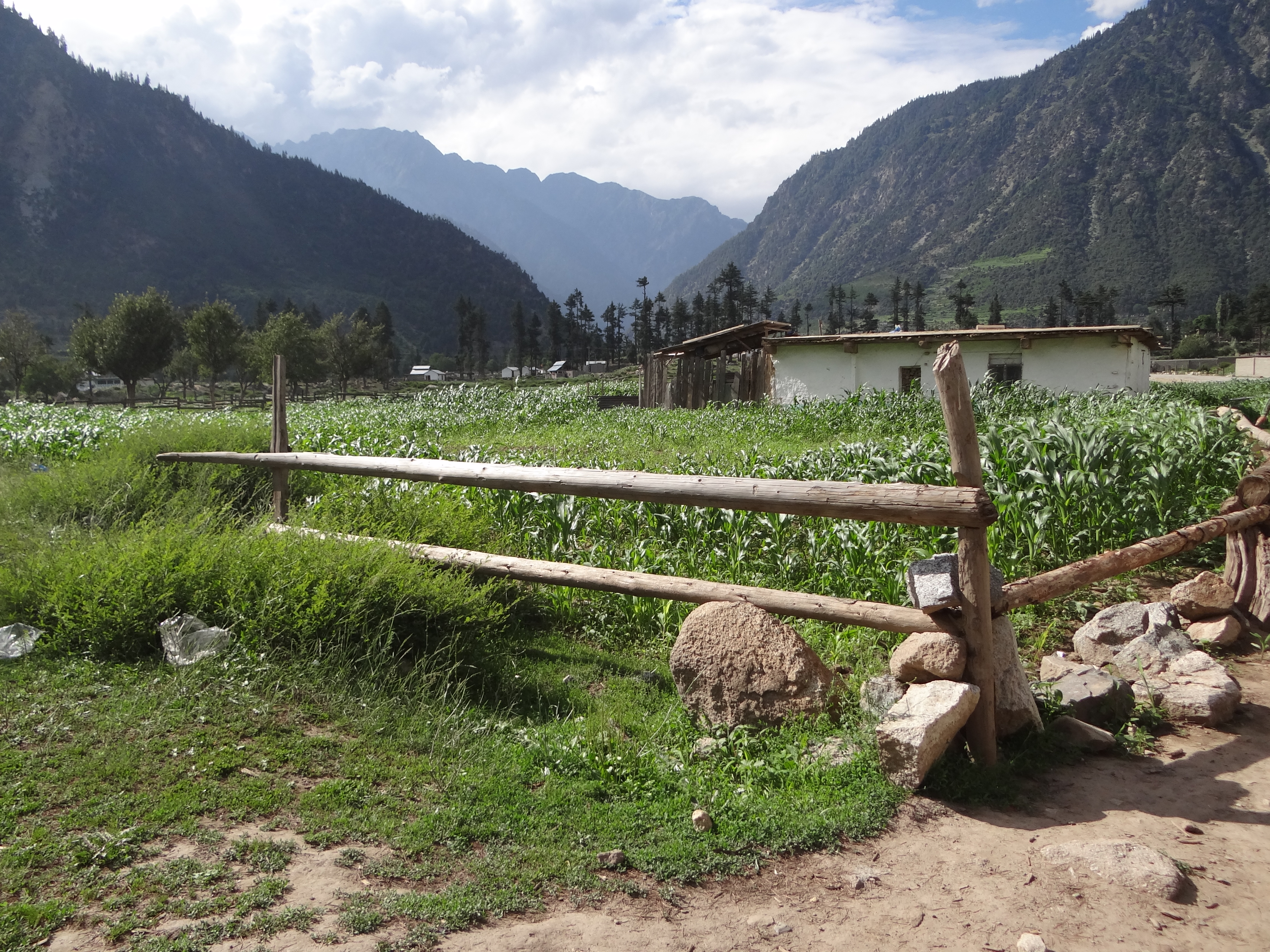
Kalam Pakistan
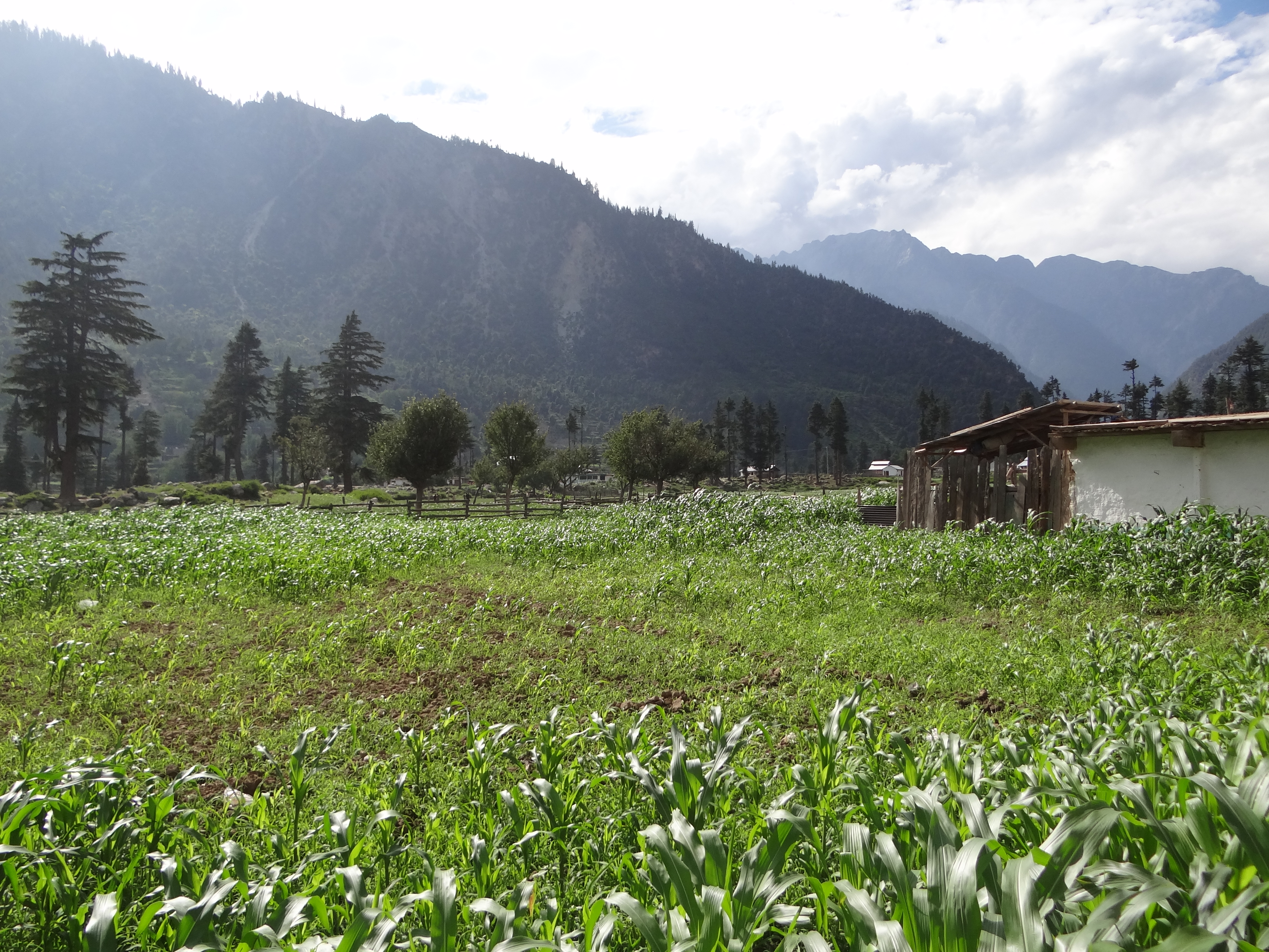
Kalam Pakistan
Kalam Pakistan

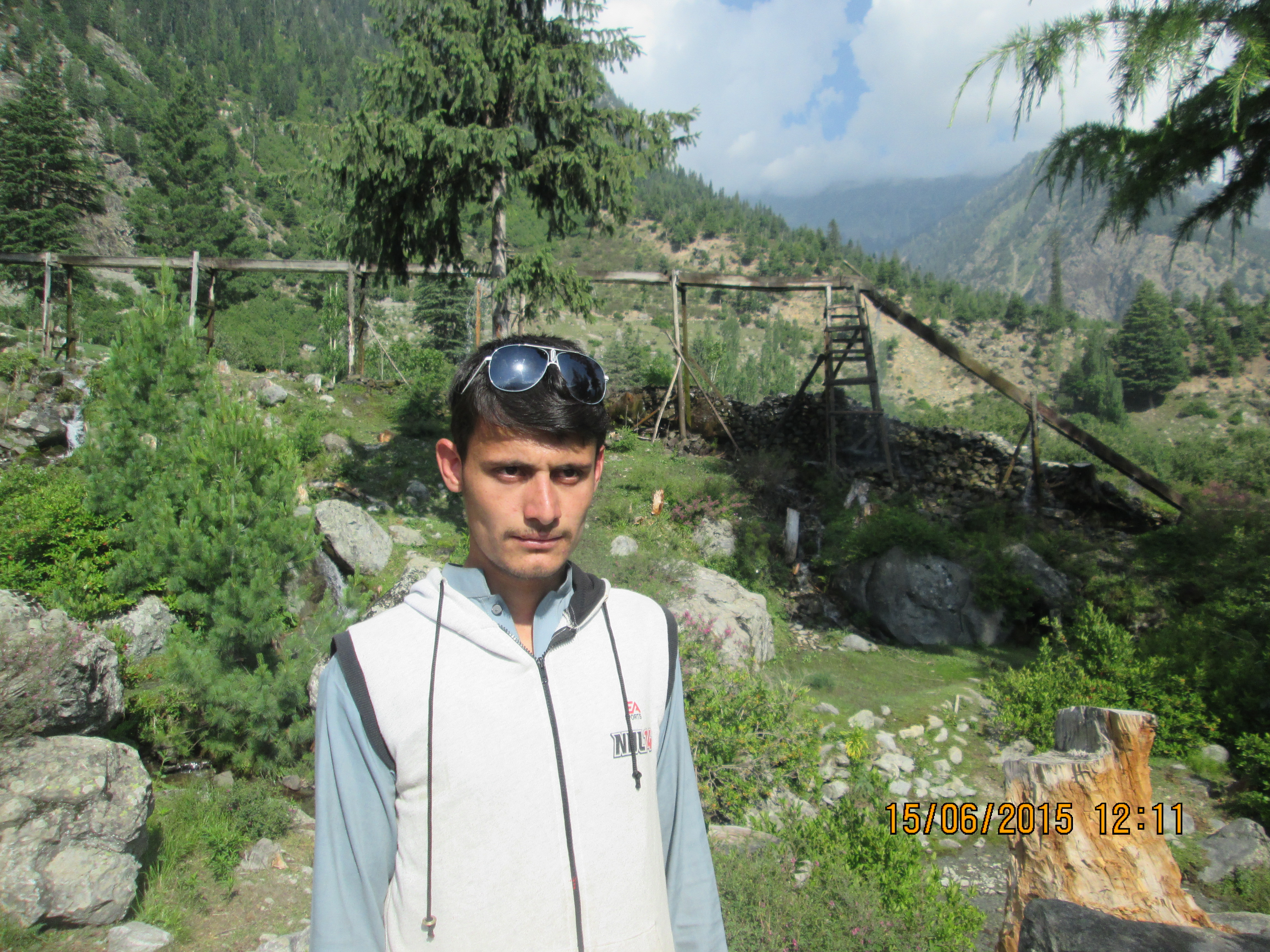
Tribesmen of Swat Kohistan, Pakistan
GODUR LAKE TREK KALAM
#rain #beautiful #Lake #Swat

Somewhere near Ushu forest on the Mahudand Road

Mahudnad Lake Kalam
Topographic Map of Swat Tehsil, Pakistan
Find elevation by address:

Places in Swat Tehsil, Pakistan:
Places near Swat Tehsil, Pakistan:
Buyun
New Honey Moon Hotel & Restaurant | Top Vip Family Hotel, Resort In Kalam, Swat, Kpk, Pakistan
Kalam
Swat
Kalam Forest
Matiltan
Bahrain
Utrar
Kalam
Kundol Lake
Pari Lake
Bahrain
Mighty 22 Falls
Chhota Jabba
Chansar Lake
Barigo
Katora Lake
Mahodand Lake
Pattan
Gabrial
Recent Searches:
- Elevation map of Greenland, Greenland
- Elevation of Sullivan Hill, New York, New York, 10002, USA
- Elevation of Morehead Road, Withrow Downs, Charlotte, Mecklenburg County, North Carolina, 28262, USA
- Elevation of 2800, Morehead Road, Withrow Downs, Charlotte, Mecklenburg County, North Carolina, 28262, USA
- Elevation of Yangbi Yi Autonomous County, Yunnan, China
- Elevation of Pingpo, Yangbi Yi Autonomous County, Yunnan, China
- Elevation of Mount Malong, Pingpo, Yangbi Yi Autonomous County, Yunnan, China
- Elevation map of Yongping County, Yunnan, China
- Elevation of North 8th Street, Palatka, Putnam County, Florida, 32177, USA
- Elevation of 107, Big Apple Road, East Palatka, Putnam County, Florida, 32131, USA
- Elevation of Jiezi, Chongzhou City, Sichuan, China
- Elevation of Chongzhou City, Sichuan, China
- Elevation of Huaiyuan, Chongzhou City, Sichuan, China
- Elevation of Qingxia, Chengdu, Sichuan, China
- Elevation of Corso Fratelli Cairoli, 35, Macerata MC, Italy
- Elevation of Tallevast Rd, Sarasota, FL, USA
- Elevation of 4th St E, Sonoma, CA, USA
- Elevation of Black Hollow Rd, Pennsdale, PA, USA
- Elevation of Oakland Ave, Williamsport, PA, USA
- Elevation of Pedrógão Grande, Portugal