Elevation of Shingrai, Khyber Pakhtoonkhwa, Pakistan
Location: Pakistan > Khyber Pakhtunkhwa > Swat > Swat Tehsil >
Longitude: 72.4722938
Latitude: 34.7979866
Elevation: 1644m / 5394feet
Barometric Pressure: 83KPa
Elevation Map:
Satellite Map:
Related Photos:
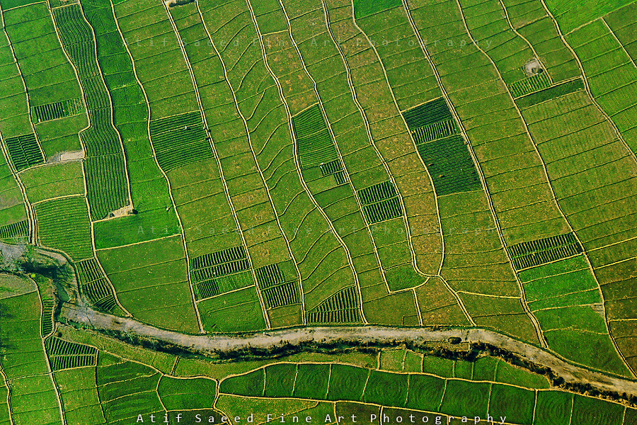
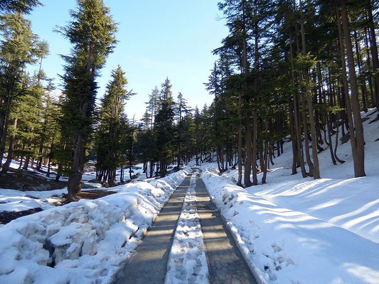
Patterns..
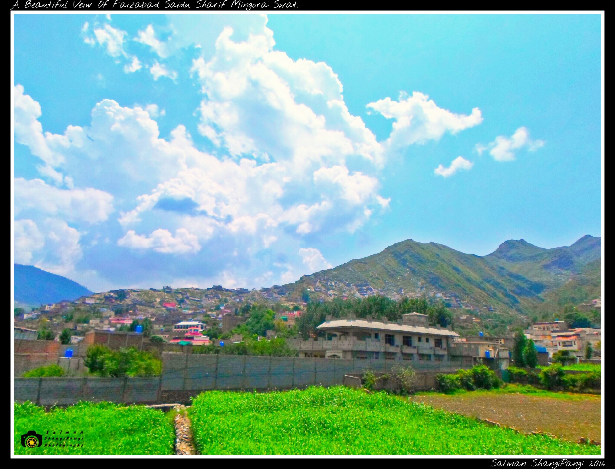
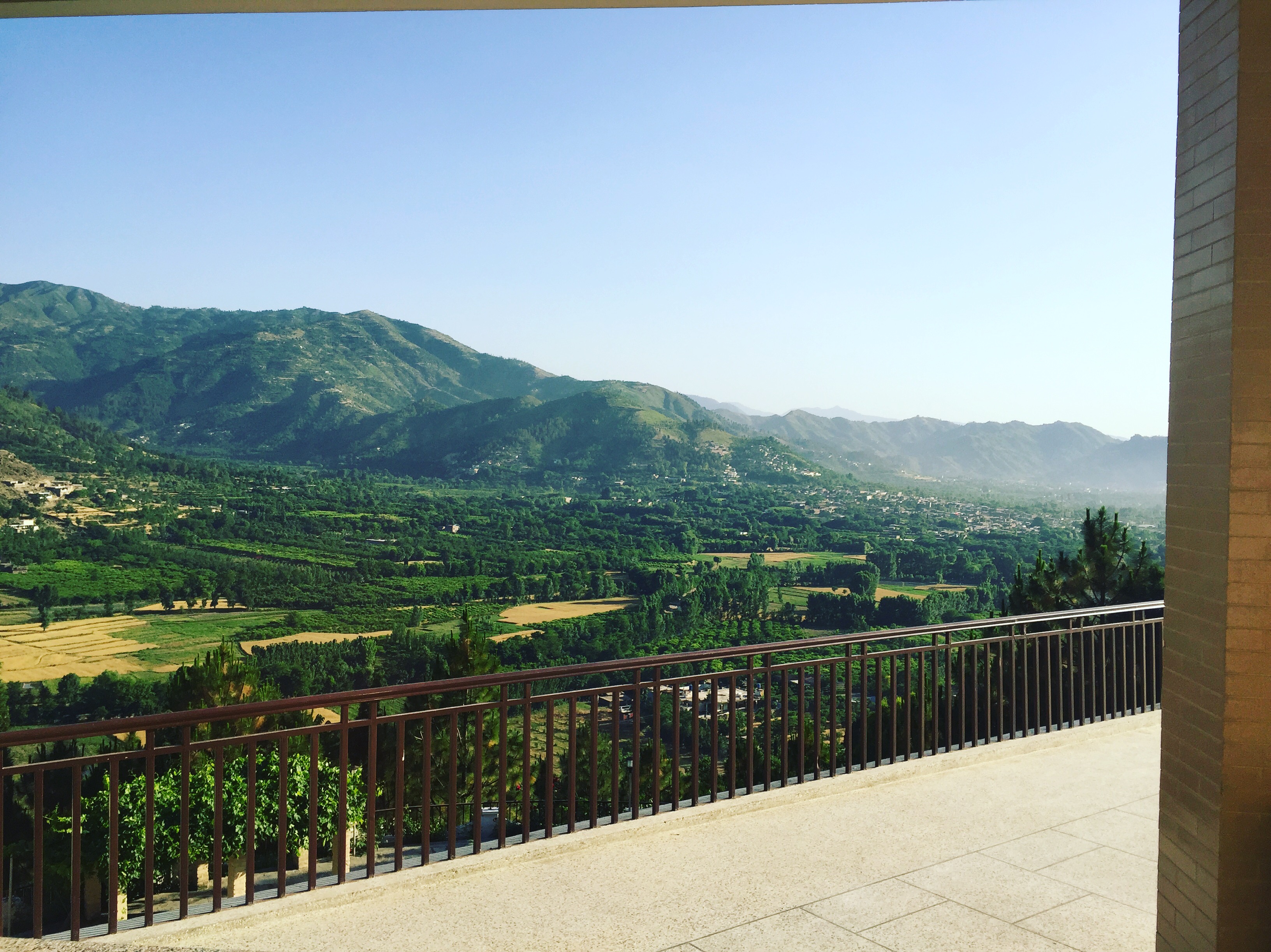
Beautiful View Of Faizabad Saidu Sharif Mingora Swat...
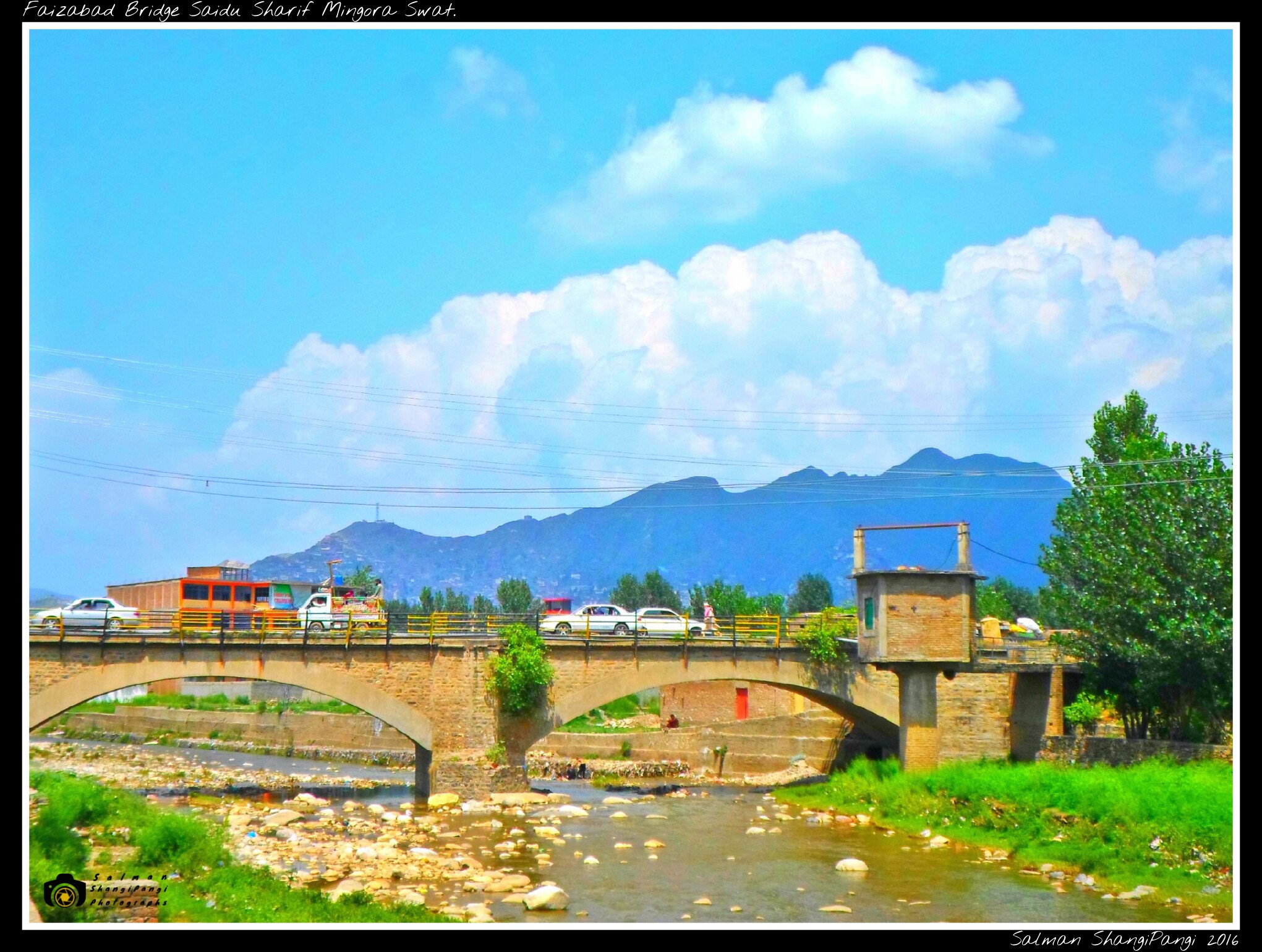
Beautiful View Of Faizabad Saidu Sharif Mingora Swat...

Beautiful View Of Faizabad Saidu Sharif Mingora Swat...
Scenic View of Swat #Valley at Manyar #Swat #Nature #Beautiful #Natural #Photo #Photography #Tourism #KP #Pakistan #naeemkhan #naeemswat
#travel #traveling #TagsForLikes #TFLers #vacation #visiting #instatravel #instago #instagood #trip #holiday #photooftheday #fun #travelling #tourism #tourist #instapassport #instatraveling #mytravelgram #travelgram #travelingram #igtravel #swat
Mountain Inn ALLAH abad (PMDC 2)
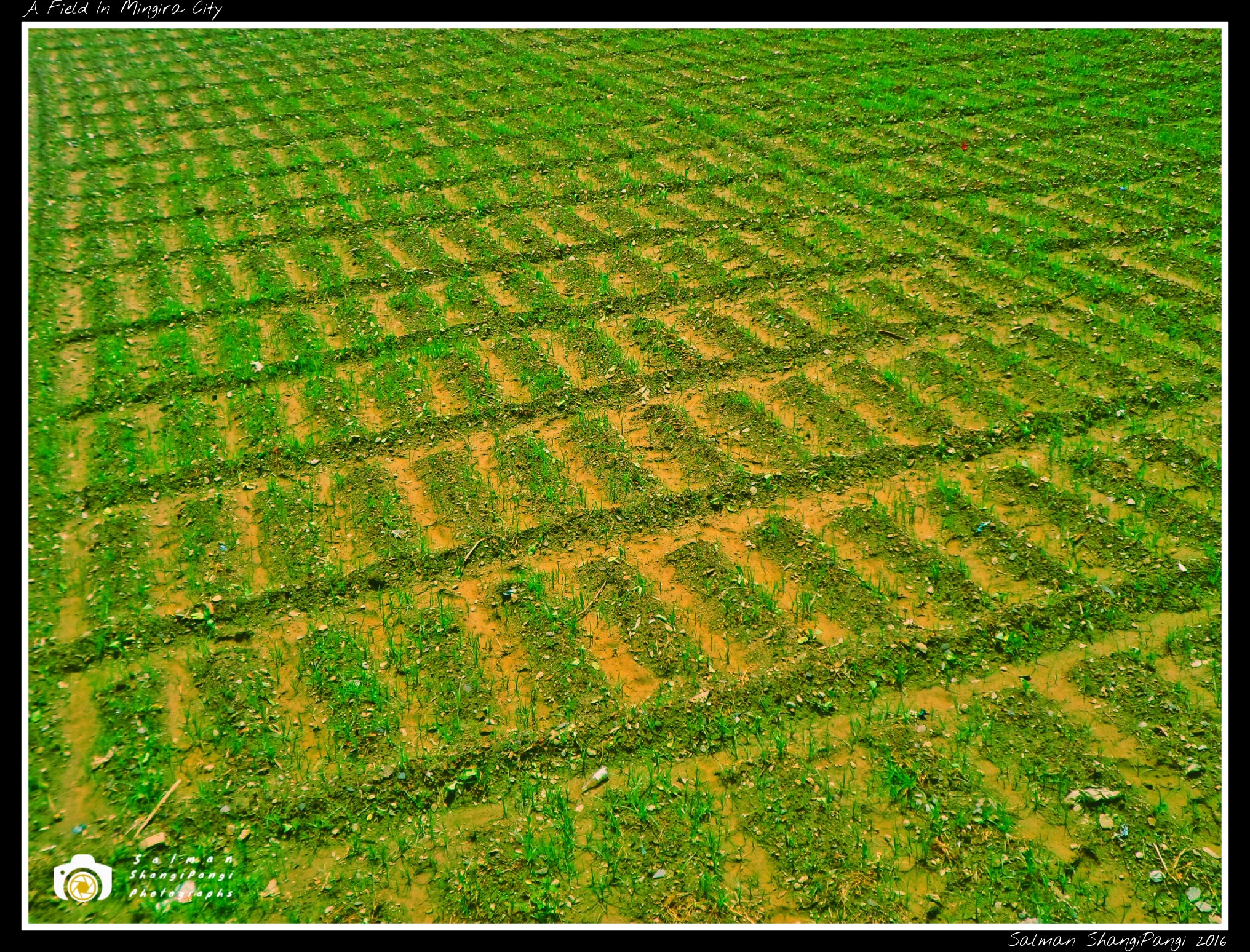
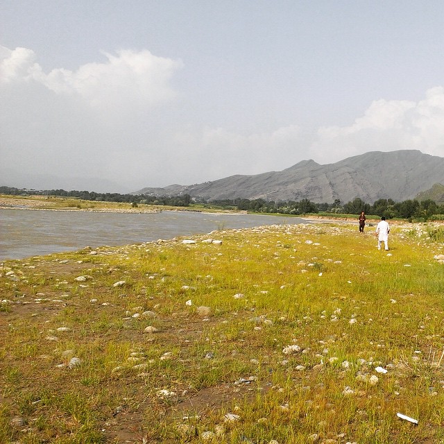
A Field In Mingora Swat...
Topographic Map of Shingrai, Khyber Pakhtoonkhwa, Pakistan
Find elevation by address:

Places near Shingrai, Khyber Pakhtoonkhwa, Pakistan:
University Of Swat
Swat View Hotel
Ningolai Village
Ningolai Village
Jambil
Jambil Swat Kpk Pakistan
Cadet College Swat
Samsons Resort Malam Jabba
Babuzai
Malam Jabba
Sangar
Butkara I
Landikas
Mingora
Hujra Restaurant Swat
China Town Restaurant
Swat
G Qurban Restaurant
Relax Food Point
Khyber Shinwari Restaurant
Recent Searches:
- Elevation of Corso Fratelli Cairoli, 35, Macerata MC, Italy
- Elevation of Tallevast Rd, Sarasota, FL, USA
- Elevation of 4th St E, Sonoma, CA, USA
- Elevation of Black Hollow Rd, Pennsdale, PA, USA
- Elevation of Oakland Ave, Williamsport, PA, USA
- Elevation of Pedrógão Grande, Portugal
- Elevation of Klee Dr, Martinsburg, WV, USA
- Elevation of Via Roma, Pieranica CR, Italy
- Elevation of Tavkvetili Mountain, Georgia
- Elevation of Hartfords Bluff Cir, Mt Pleasant, SC, USA