Elevation of Swannie River, Grabouw, South Africa
Location: South Africa > Western Cape > Overberg District Municipality > Grabouw >
Longitude: 19.0170859
Latitude: -34.145913
Elevation: 321m / 1053feet
Barometric Pressure: 98KPa
Elevation Map:
Satellite Map:
Related Photos:
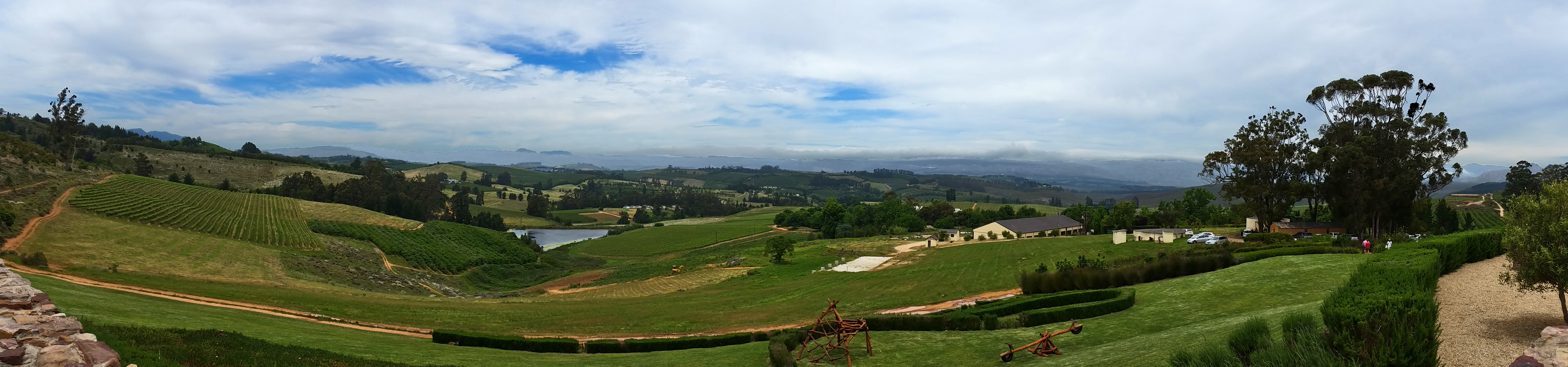
Almenkerk Wine Estate Panorama

Boland Hiking Trail, Day 2

Morning mist - Elgin valley

Forgotten Trees

Lunch time shadows, Grabouw

Sunset from Gordon's Bay

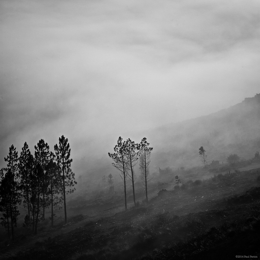
Elgin valley mist
Mist over Elgin

Na regen komt zonneschijn

Misty sunrise, Elgin

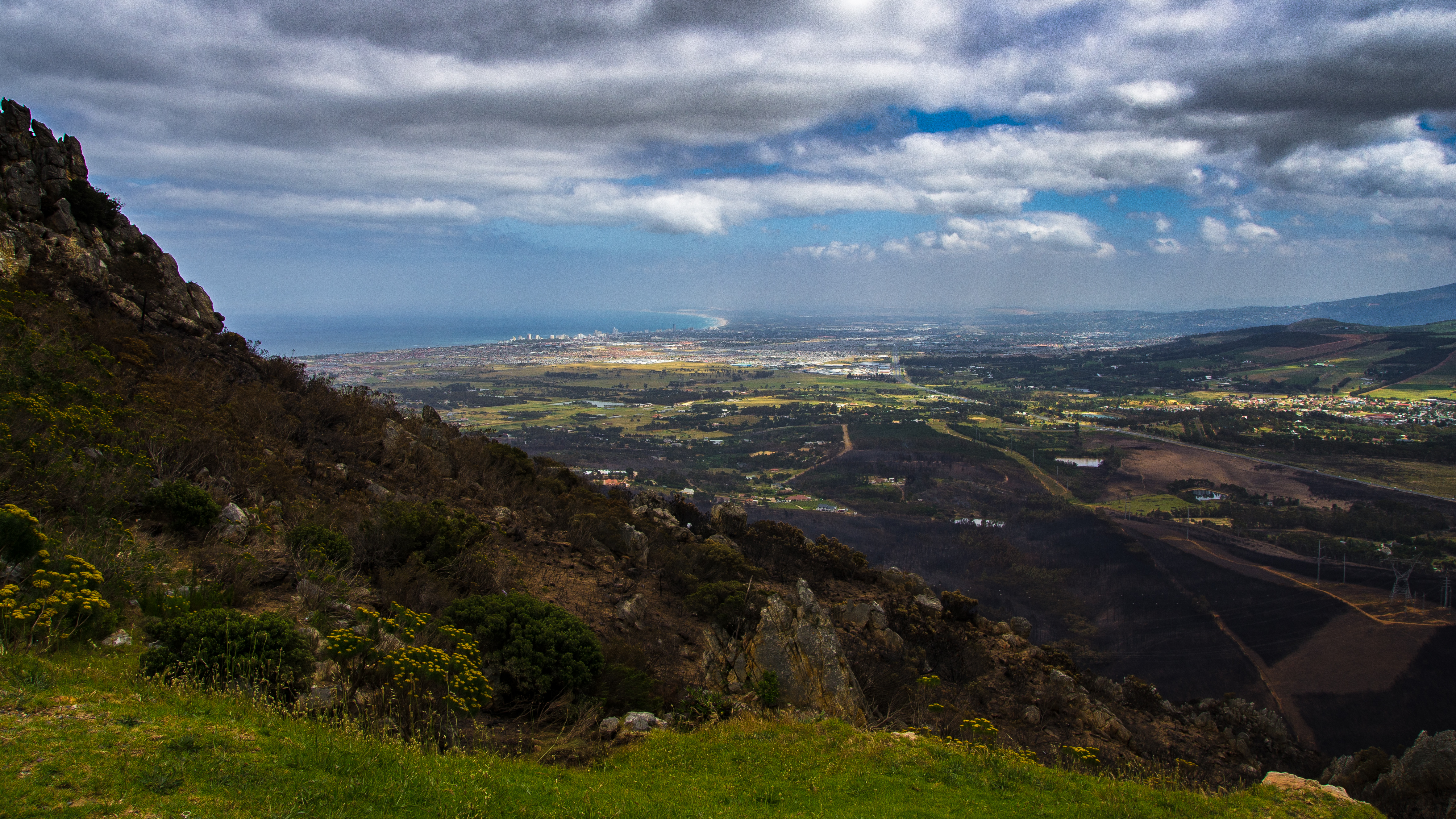
After the fire, Elgin

After the fire, Elgin

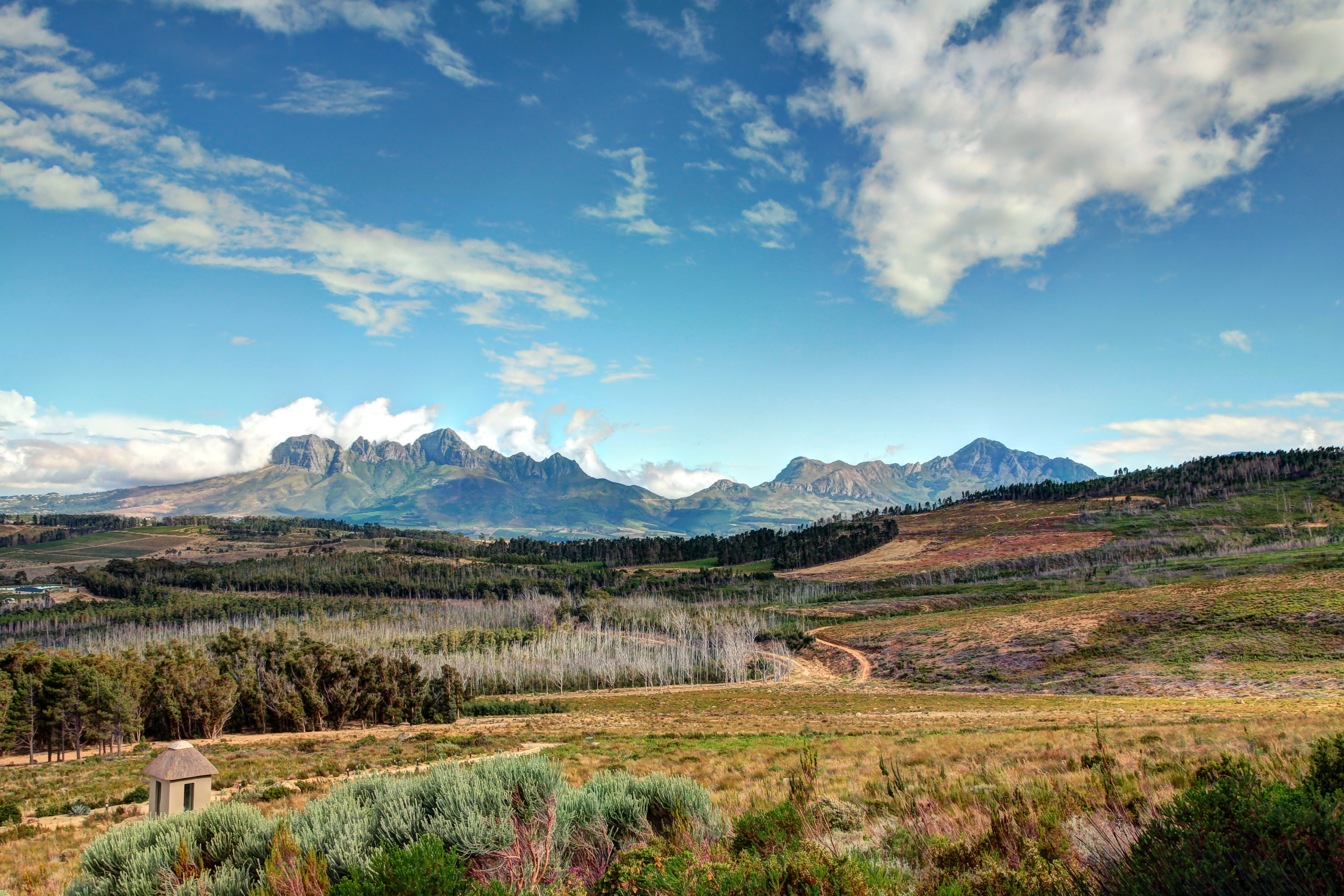
Vergelegen View

After the fire, Elgin
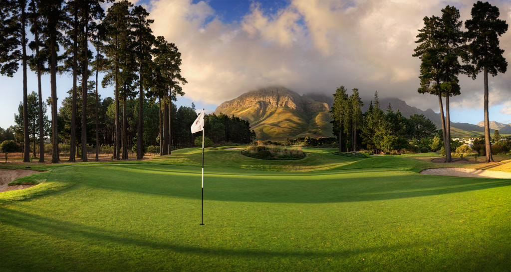
Erinvale 8th Hole

Tidal pool sunset
Helderberg Mountain View

Cutlery, Grabouw

Sand Hazard

Misty stream, Elgin

Bikini Beach

Last One Standing WEB

Cape Town Sunset
Sir Lowry's Pass lookout point, Helderberg, 20171109

1LK_4178_1 2

After the fire

The damage done

The City by the Bay I, Gordon's Bay, 20171117

Loving the Attention

Sir Lowry"s Pass...

Sir Lowry's Sunset

The City by the Bay II, Gordon's Bay, 20171117
Topographic Map of Swannie River, Grabouw, South Africa
Find elevation by address:

Places near Swannie River, Grabouw, South Africa:
Trail's End Bike Hotel
Grabouw
Wolwekloof
Mountainside
Highlands Road
8 Fiona Cl
Briza Township
162 Fagan St
Welgelegen
Waterstone Village Centre
Stellenboschberg
Stellenbosch
La Pastorale
24 Beethoven St
Jamestown
Stellenbosch Square
Die Wingerd
38 Peeka Rd
Stellenbosch
208 Harveya Rd
Recent Searches:
- Elevation of Corso Fratelli Cairoli, 35, Macerata MC, Italy
- Elevation of Tallevast Rd, Sarasota, FL, USA
- Elevation of 4th St E, Sonoma, CA, USA
- Elevation of Black Hollow Rd, Pennsdale, PA, USA
- Elevation of Oakland Ave, Williamsport, PA, USA
- Elevation of Pedrógão Grande, Portugal
- Elevation of Klee Dr, Martinsburg, WV, USA
- Elevation of Via Roma, Pieranica CR, Italy
- Elevation of Tavkvetili Mountain, Georgia
- Elevation of Hartfords Bluff Cir, Mt Pleasant, SC, USA