Elevation of Sunshine Valley, BC V0X, Canada
Location: Canada > British Columbia > Fraser Valley > Fraser Valley B >
Longitude: -121.23189
Latitude: 49.274439
Elevation: 678m / 2224feet
Barometric Pressure: 93KPa
Elevation Map:
Satellite Map:
Related Photos:
Eaton Lake View
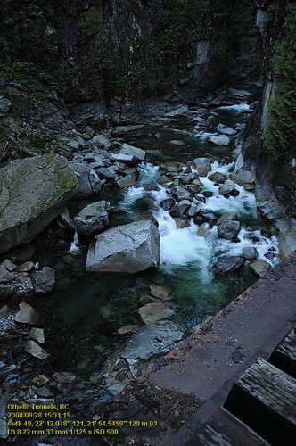
Othello Tunnels VF2_8788.JPG
17th Chapel (please view on black )
View from my lunchspot today...

View from my lunchspot today...
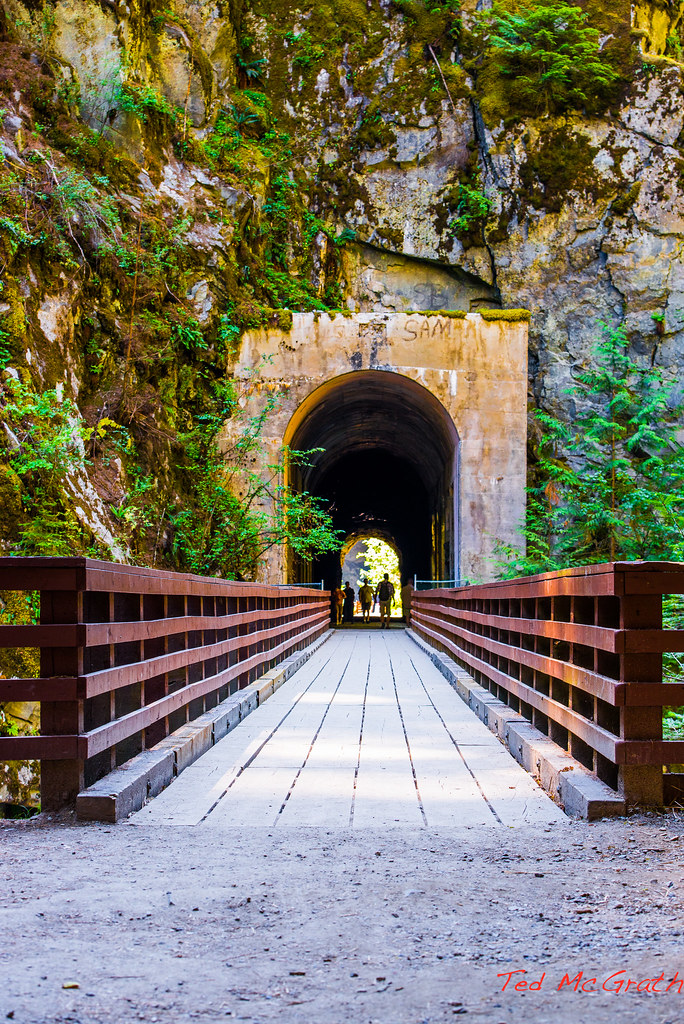
Othello Tunnels - 20 Jul 2013
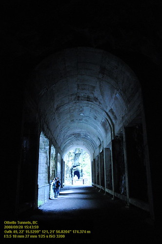
Othello Tunnels VF2_8780.JPG
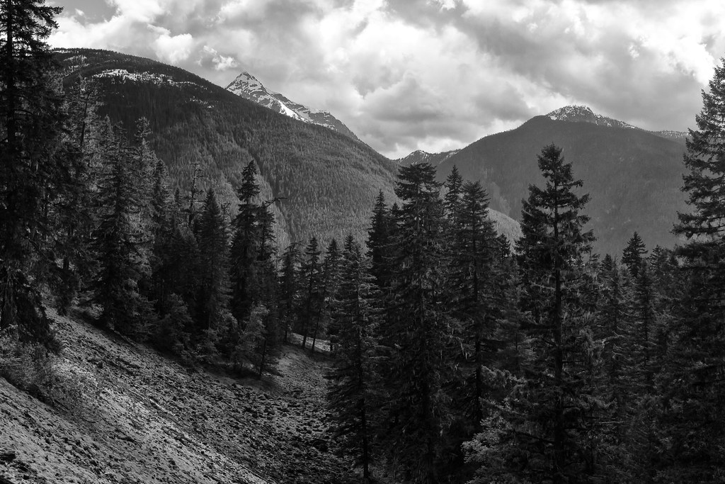
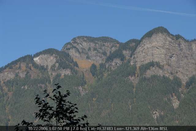
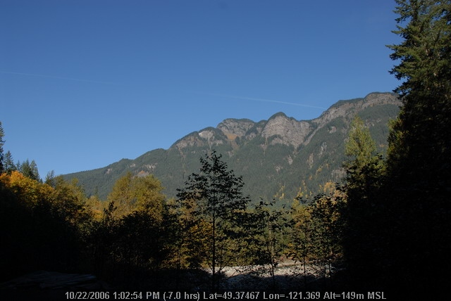
Some Wonderful Views of the Cascades
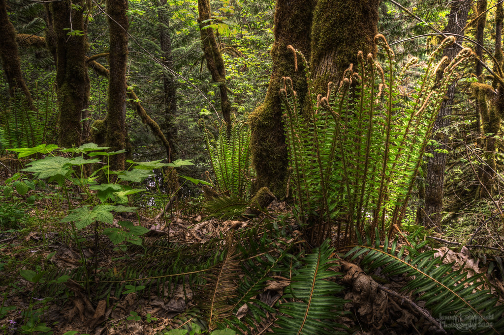
Wonders of our rain forest
OthelloTunnels (50).JPG
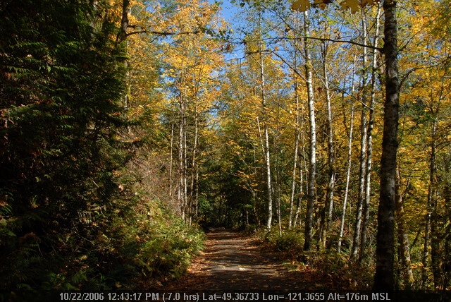
The Trail Narrows

Othello Tunnels and Coquihalla River - Manual HDR (please view large / On Black)
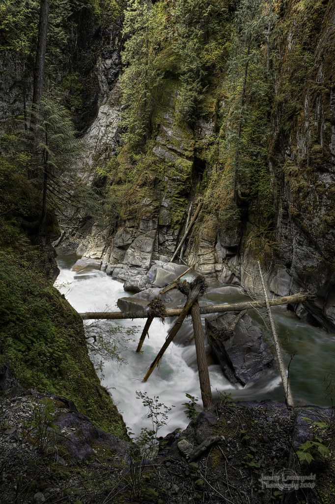
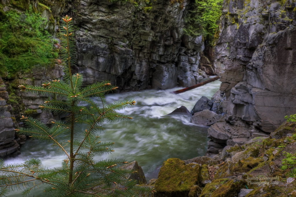
Coquihalla River
No Fear for a little Fir – Othello Tunnels , Coquihalla Canyon ( view on black )
OthelloTunnels (52).JPG
OthelloTunnels (49).JPG
OthelloTunnels (11).JPG

OthelloTunnels (30).JPG

OthelloTunnels (14).JPG

OthelloTunnels (15).JPG

OthelloTunnels (43).JPG
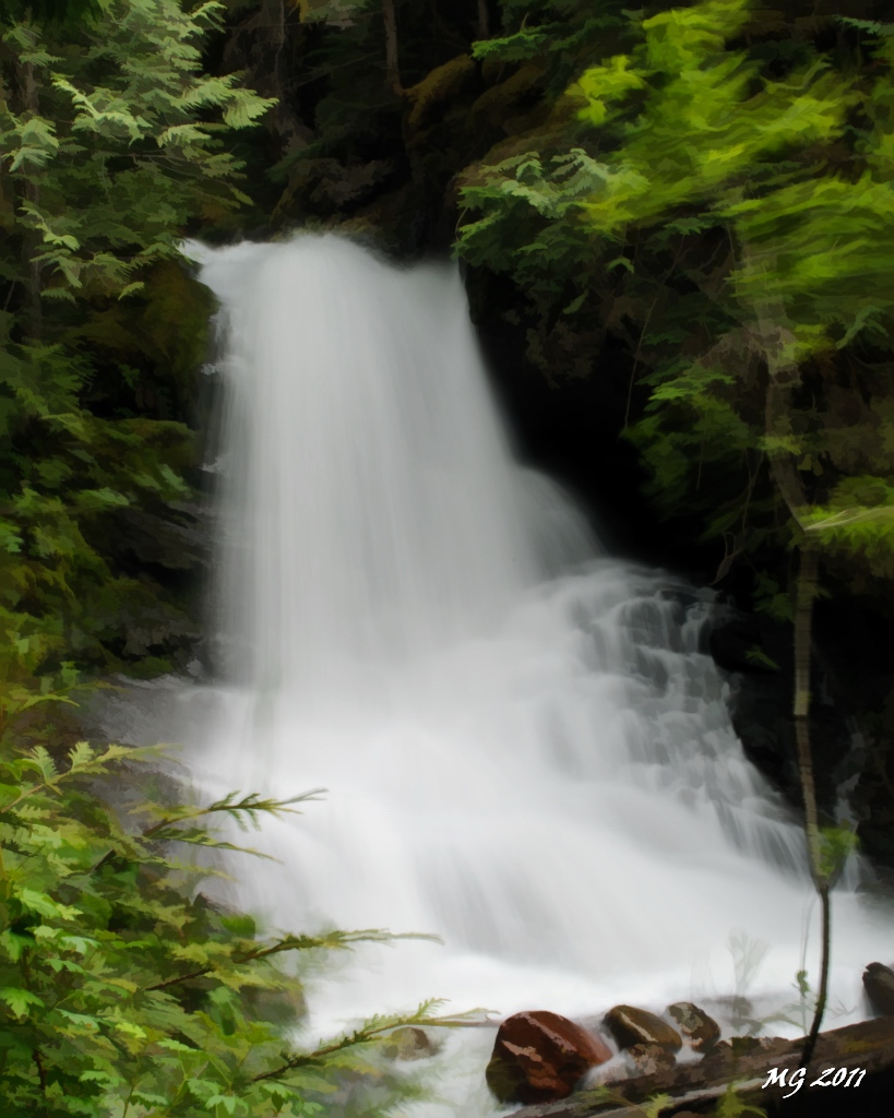
Twentysix Mile Creek Falls 2 Simplified

Coquihalla river
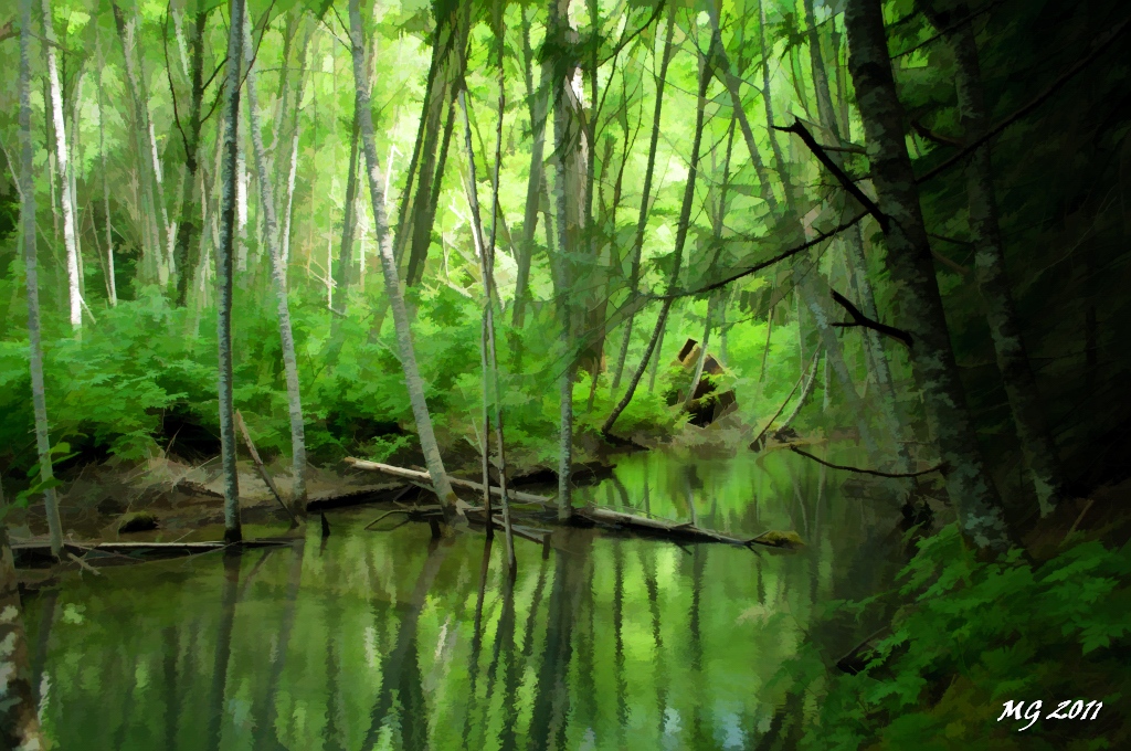
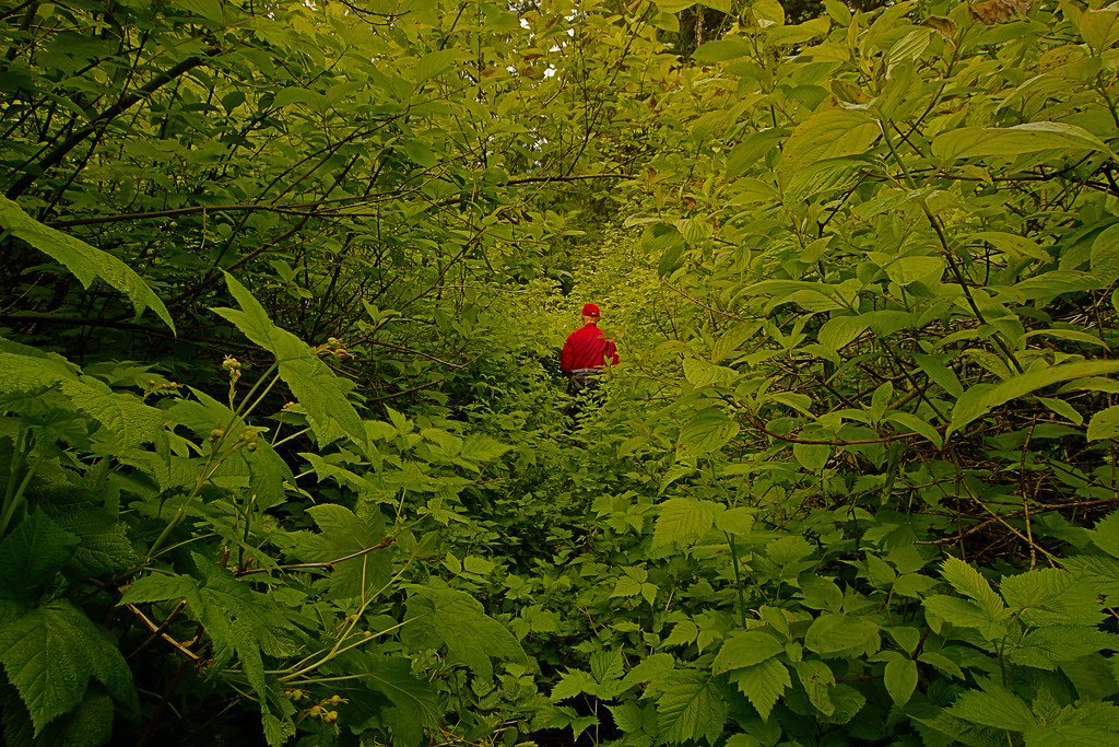
Flooded Forest- Skagit Valley

Twentysix Mile Creek Falls
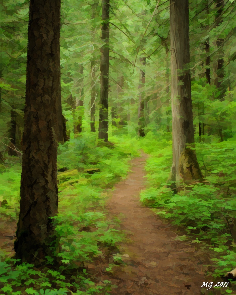
Skagit River Trail Simplified

SUNSHINE VALLEY, HOPE-PRINCETON AREA, BC
OthelloTunnels (67).JPG
OthelloTunnels (66).JPG
Othello Tunnels VF2_8754.JPG

Coquihalla River

SUNSHINE VALLEY - HOPE PRINCETENSUNSHINE VALLEY - HOPE PRINCETON
all is calm (solstice)

Othello Tunnels - 20 Jul 2013

Othello Tunnels park
Topographic Map of Sunshine Valley, BC V0X, Canada
Find elevation by address:

Places near Sunshine Valley, BC V0X, Canada:
Sunshine Valley Rv Resort & Cabins
14371 Alpine Blvd
14371 Alpine Blvd
Parkhill Boulevard
Parkview Avenue
Fraser Valley B
Mount Potter
Johnson Peak
Macleod Peak
Mount Manson
Mount Coulter
Mount Outram
Mount Hatfield
Mount Davis
Tulameen Mountain
Wells Peak
Mount Snider
Mount Ford
Jason Road
Mount Dewdney
Recent Searches:
- Elevation of Corso Fratelli Cairoli, 35, Macerata MC, Italy
- Elevation of Tallevast Rd, Sarasota, FL, USA
- Elevation of 4th St E, Sonoma, CA, USA
- Elevation of Black Hollow Rd, Pennsdale, PA, USA
- Elevation of Oakland Ave, Williamsport, PA, USA
- Elevation of Pedrógão Grande, Portugal
- Elevation of Klee Dr, Martinsburg, WV, USA
- Elevation of Via Roma, Pieranica CR, Italy
- Elevation of Tavkvetili Mountain, Georgia
- Elevation of Hartfords Bluff Cir, Mt Pleasant, SC, USA