Elevation of Sunset Point, Avery, CA, USA
Location: United States > California > Calaveras County > Avery >
Longitude: -120.36325
Latitude: 38.1888079
Elevation: 1026m / 3366feet
Barometric Pressure: 90KPa
Elevation Map:
Satellite Map:
Related Photos:
view from the [dining room]

WHATS WRONG WITH THIS PHOTO?
Ripples in Space and Time
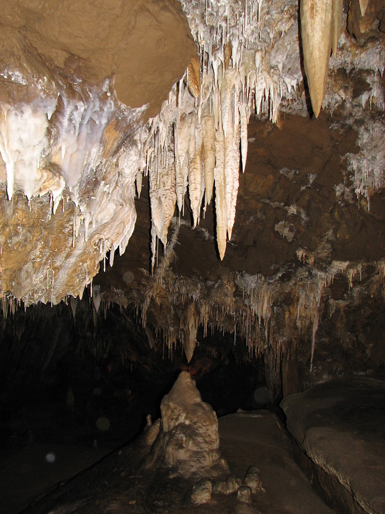
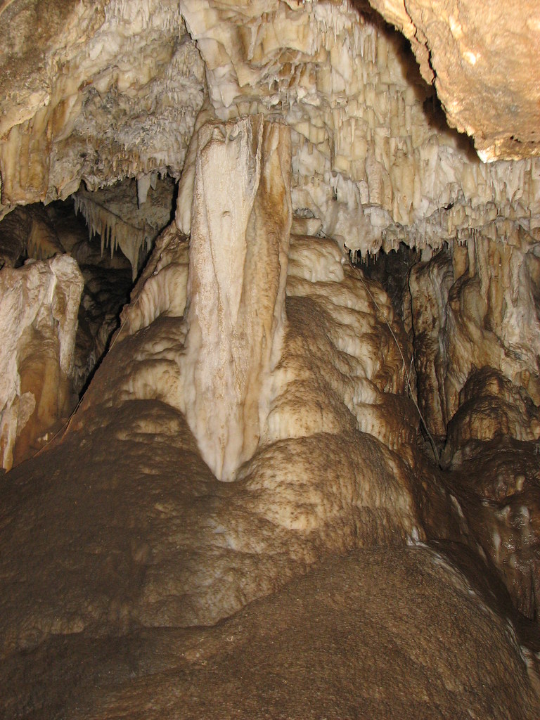
California Caverns - excellent stalactites and The Bishop stalagmite
California Caverns - The bridal gown flowstone
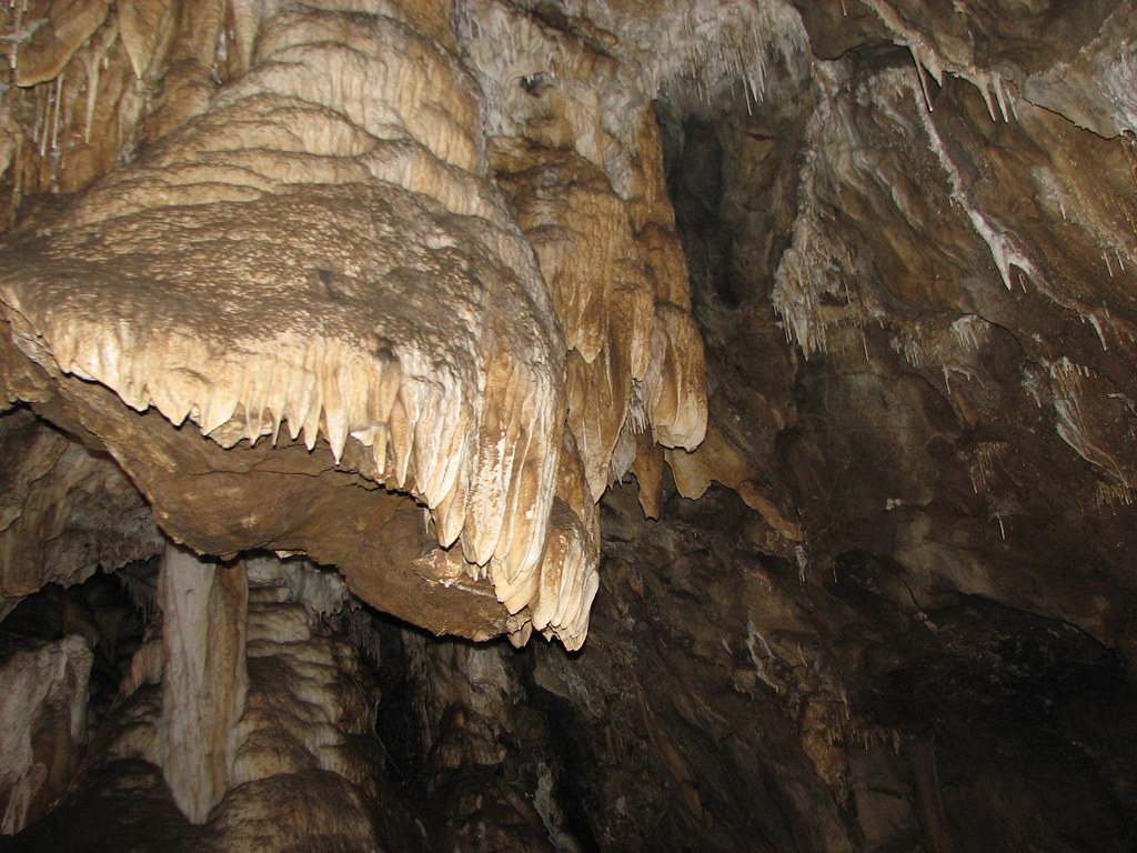
California Caverns - massive column
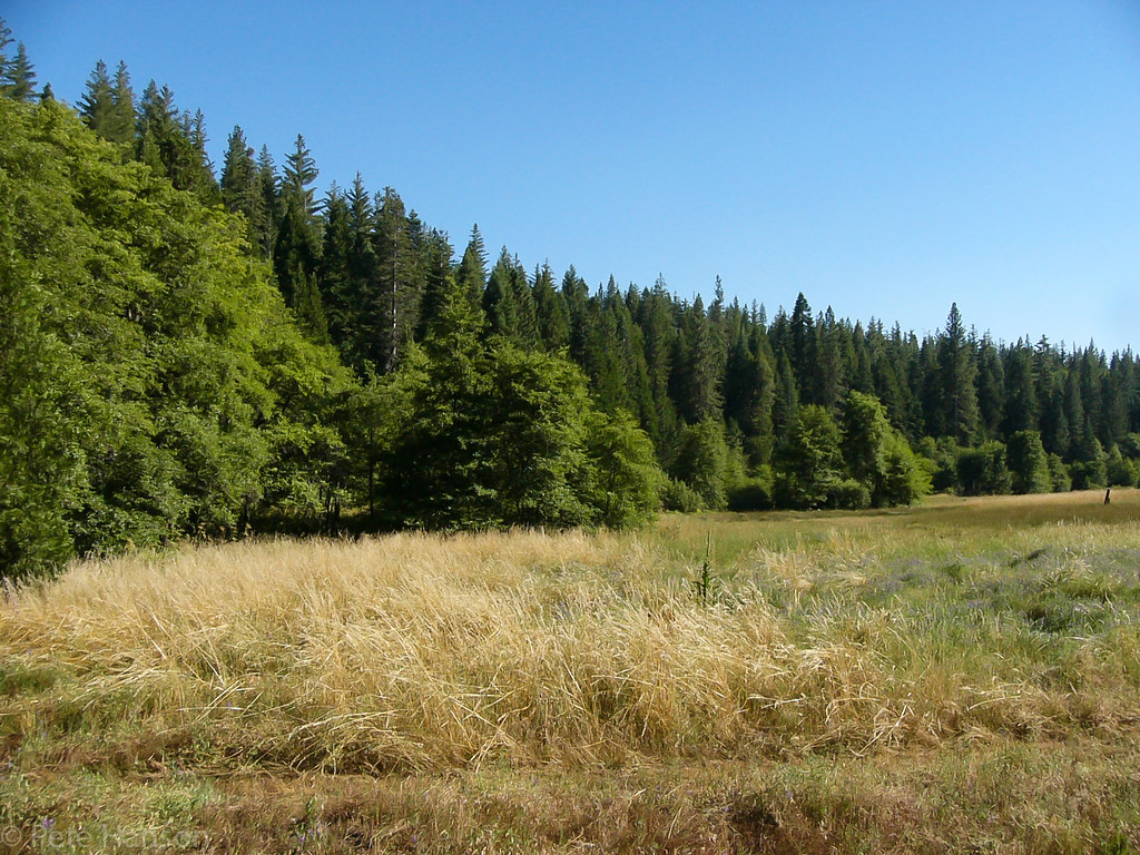
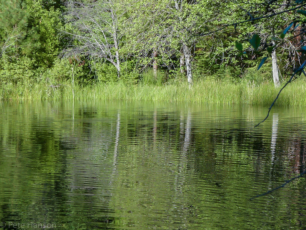
The View
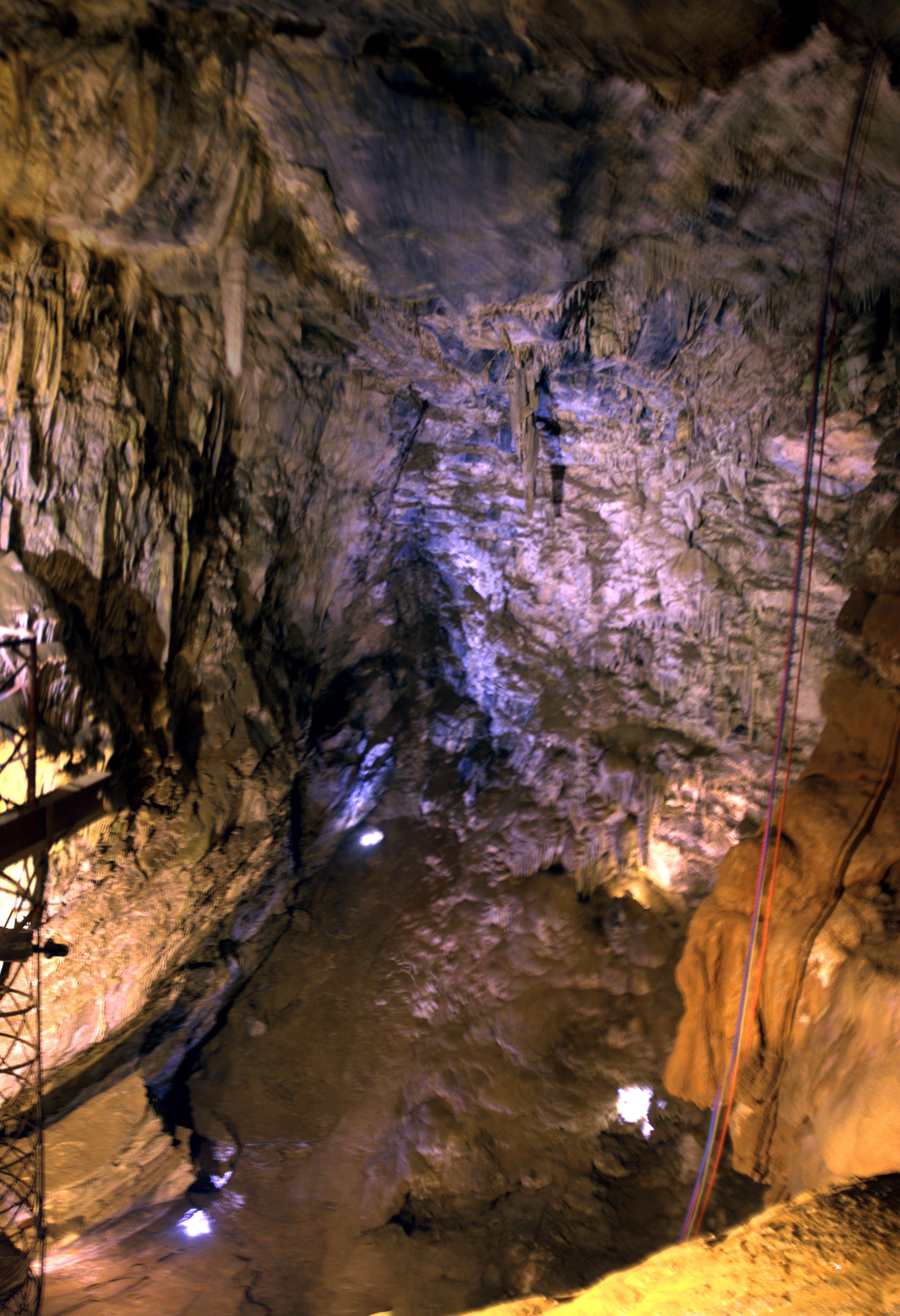
Moaning Cave Main Chamber 1

Lady Bug
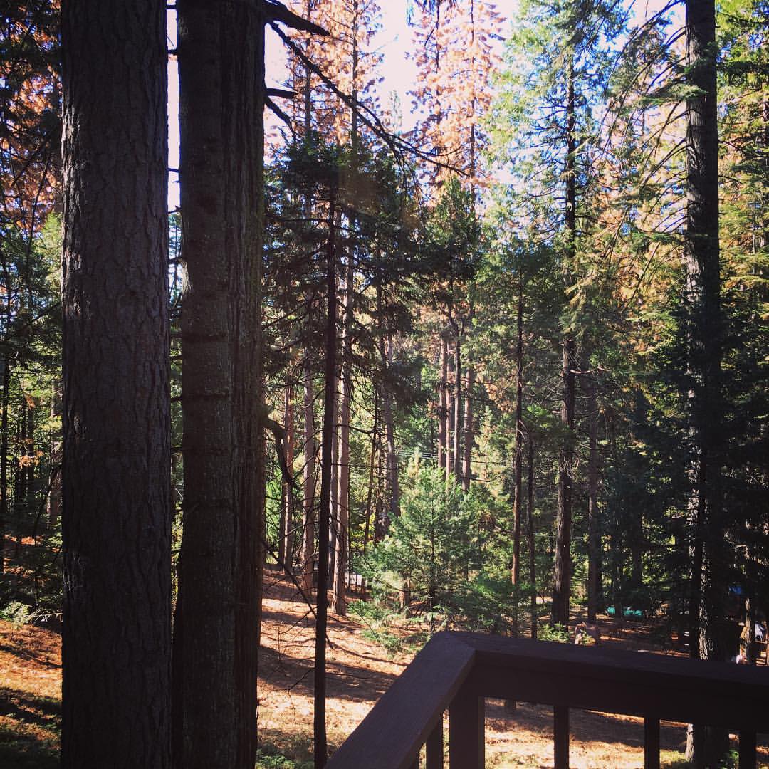
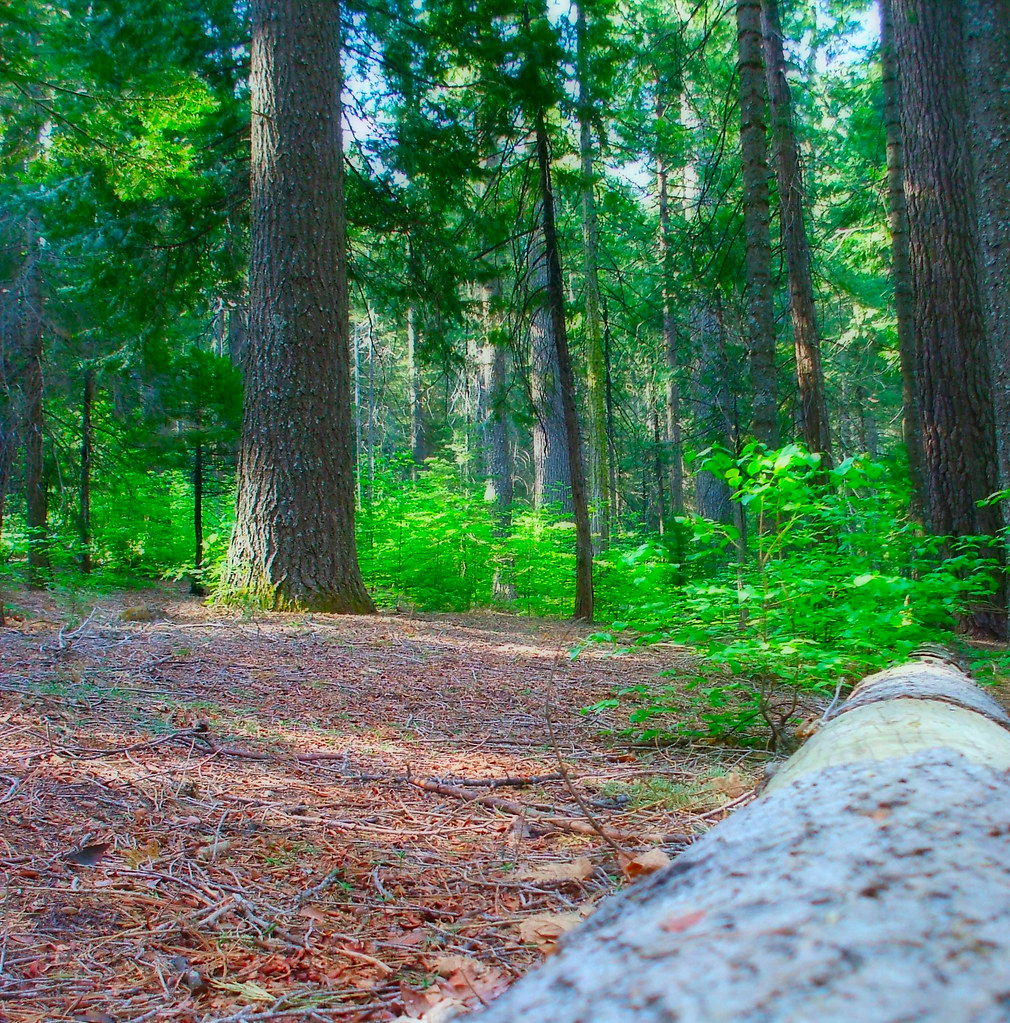
This morning's view. #cabininthewoods #smellslikepine #calaverascounty
Topographic Map of Sunset Point, Avery, CA, USA
Find elevation by address:

Places near Sunset Point, Avery, CA, USA:
222 Inspiration Dr
Avery
Darby Russell Rd, Murphys, CA, USA
329 Grey Mare Rd #81
1208 Laurel Ln
4623 Harmony Ln
3264 Menominee Ct
807 Sandalwood Dr
Buckthorn Dr, Murphys, CA, USA
Lakemont Dr, Arnold, CA, USA
2061 Lightning Ln
2295 Murphys Dr
Mokelumne Dr E, Arnold, CA, USA
Forest Meadows Drive
2313 El Dorado Dr
2106 Chaparral Dr
2467 Venado Dr
Placer Way, Arnold, CA, USA
2300 Patricia Ln
2713 Quartz Dr
Recent Searches:
- Elevation of Corso Fratelli Cairoli, 35, Macerata MC, Italy
- Elevation of Tallevast Rd, Sarasota, FL, USA
- Elevation of 4th St E, Sonoma, CA, USA
- Elevation of Black Hollow Rd, Pennsdale, PA, USA
- Elevation of Oakland Ave, Williamsport, PA, USA
- Elevation of Pedrógão Grande, Portugal
- Elevation of Klee Dr, Martinsburg, WV, USA
- Elevation of Via Roma, Pieranica CR, Italy
- Elevation of Tavkvetili Mountain, Georgia
- Elevation of Hartfords Bluff Cir, Mt Pleasant, SC, USA