Elevation of Sunset Ln, Independence, VA, USA
Location: United States > Virginia > Grayson County > Elk Creek > Independence >
Longitude: -81.174986
Latitude: 36.6134814
Elevation: 834m / 2736feet
Barometric Pressure: 92KPa
Elevation Map:
Satellite Map:
Related Photos:

Forgotten House in the Hills

Mount Rogers

Old New River House

Virginia Hills

Foggy Mountain Morning

Hungry Bird

old Grayson county courthouse, Independence, VA

SWVA -- My Second Home
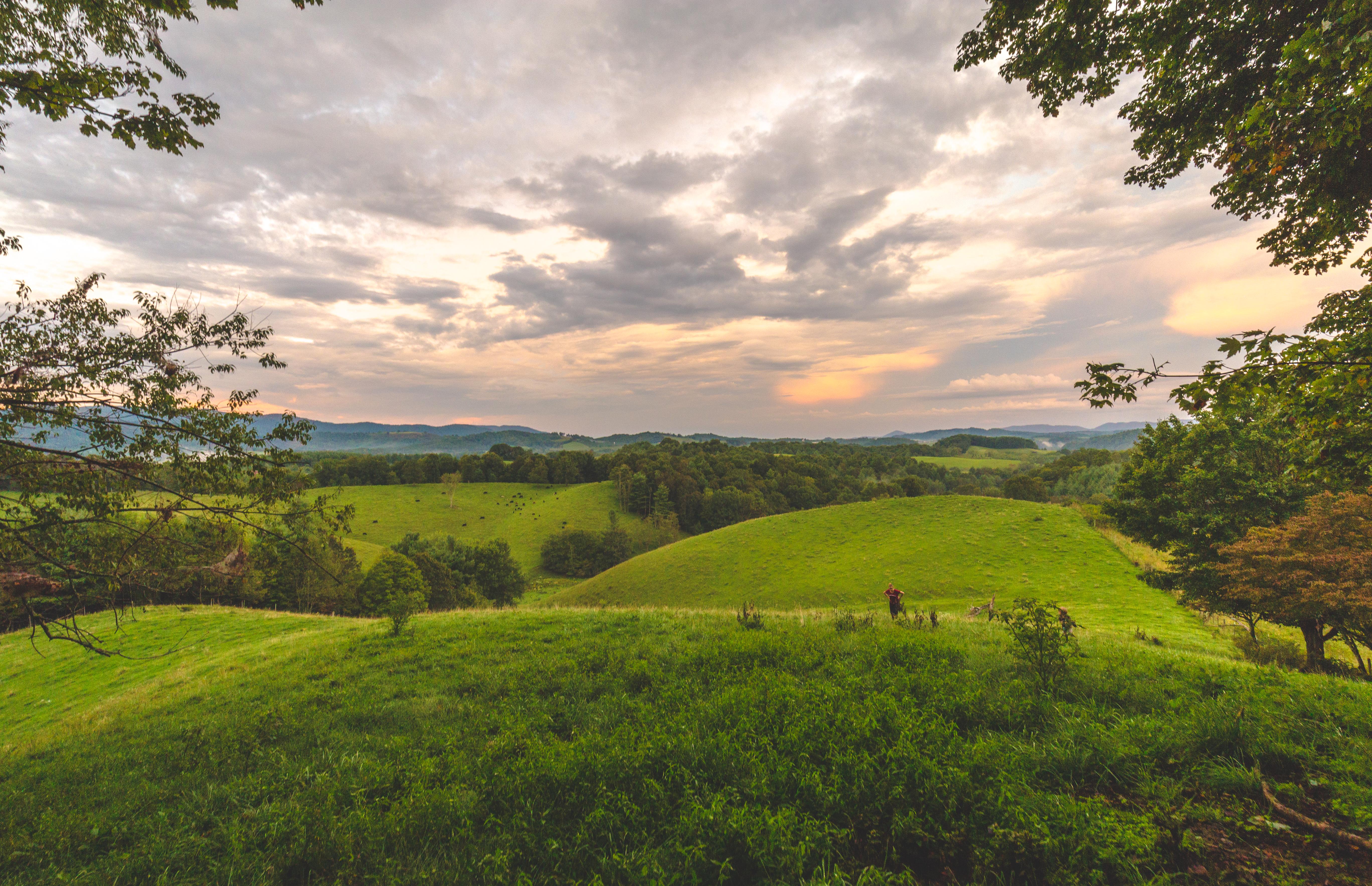
Virginia Hills Sunset

Through The Grass

Over the Hills and Far Away

Powerhouse Falls

Farmers Fish Camp Road bridge damage

Grayson County Courthouse (New)

Entering North Carolina (Alleghany County, North Carolina)

RAD2013.03.20.12 New River

North Carolina State Highway 18 (Sparta, North Carolina)

Entering Virginia (Grayson County, Virginia)

RAD20130320.11 New River

Allegany Section New River State Park 20111009 4474

Christmas Tree Farm
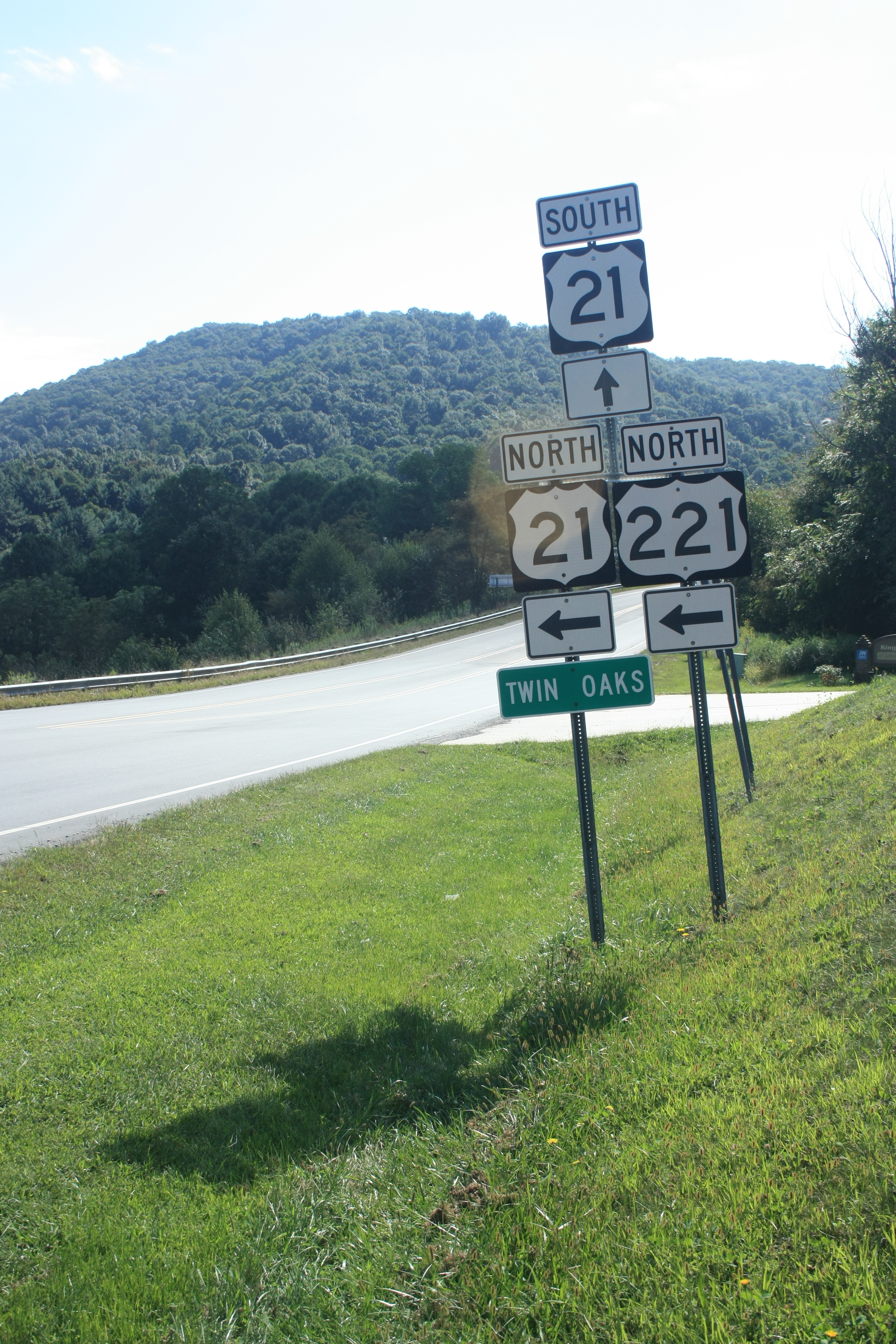
Twin Oaks

Bubba's Pampered Pedlers Camp

Riverside #virginiaisforlovers #virginiabeauty #graysonco @visitvbr @visitvirginia @ig_virginia @virginianature #friesva #gopro @gopro_water @goprocinema @goprobombsquad @gopro @goprohero4giveawayss @gopro_shoots @goprouniverse @gopro_everything @goprovid

RAD20130320.07 Grayson Highlands
Topographic Map of Sunset Ln, Independence, VA, USA
Find elevation by address:

Places near Sunset Ln, Independence, VA, USA:
117 Edgewood Dr
180 Edgewood Dr
Pinewood Lane
138 Laurel Ln
215 Austin St
Penn Ford Road
Independence
269 Beaverdam Rd
309 Hilltop Dr
1050 Forest Trail
Peach Bottom Road
Independence, VA, USA
Elk Creek
Powerhouse Road
425 Powerhouse Rd
64 Shady Creek Ln
709 Powerhouse Rd
2838 Penn Ford Ln
377 Green Needles Lane
1742 Point Lookout Ln
Recent Searches:
- Elevation of Corso Fratelli Cairoli, 35, Macerata MC, Italy
- Elevation of Tallevast Rd, Sarasota, FL, USA
- Elevation of 4th St E, Sonoma, CA, USA
- Elevation of Black Hollow Rd, Pennsdale, PA, USA
- Elevation of Oakland Ave, Williamsport, PA, USA
- Elevation of Pedrógão Grande, Portugal
- Elevation of Klee Dr, Martinsburg, WV, USA
- Elevation of Via Roma, Pieranica CR, Italy
- Elevation of Tavkvetili Mountain, Georgia
- Elevation of Hartfords Bluff Cir, Mt Pleasant, SC, USA