Elevation of Powerhouse Road, Powerhouse Rd, Independence, VA, USA
Location: United States > Virginia > Grayson County > Elk Creek > Independence >
Longitude: -81.137054
Latitude: 36.6258623
Elevation: 799m / 2621feet
Barometric Pressure: 92KPa
Elevation Map:
Satellite Map:
Related Photos:

Virginia Hills

Foggy Mountain Morning

Mount Rogers

Hungry Bird

old Grayson county courthouse, Independence, VA

River views campground
River views house

Farmers Fish Camp Road bridge damage

rolling hills and fragrant meadows

North Carolina State Highway 18 (Sparta, North Carolina)

Powerhouse Falls

Grayson County Courthouse (New)

Entering North Carolina (Alleghany County, North Carolina)

RAD2013.03.20.12 New River

Entering Virginia (Grayson County, Virginia)

RAD20130320.11 New River

Christmas Tree Farm
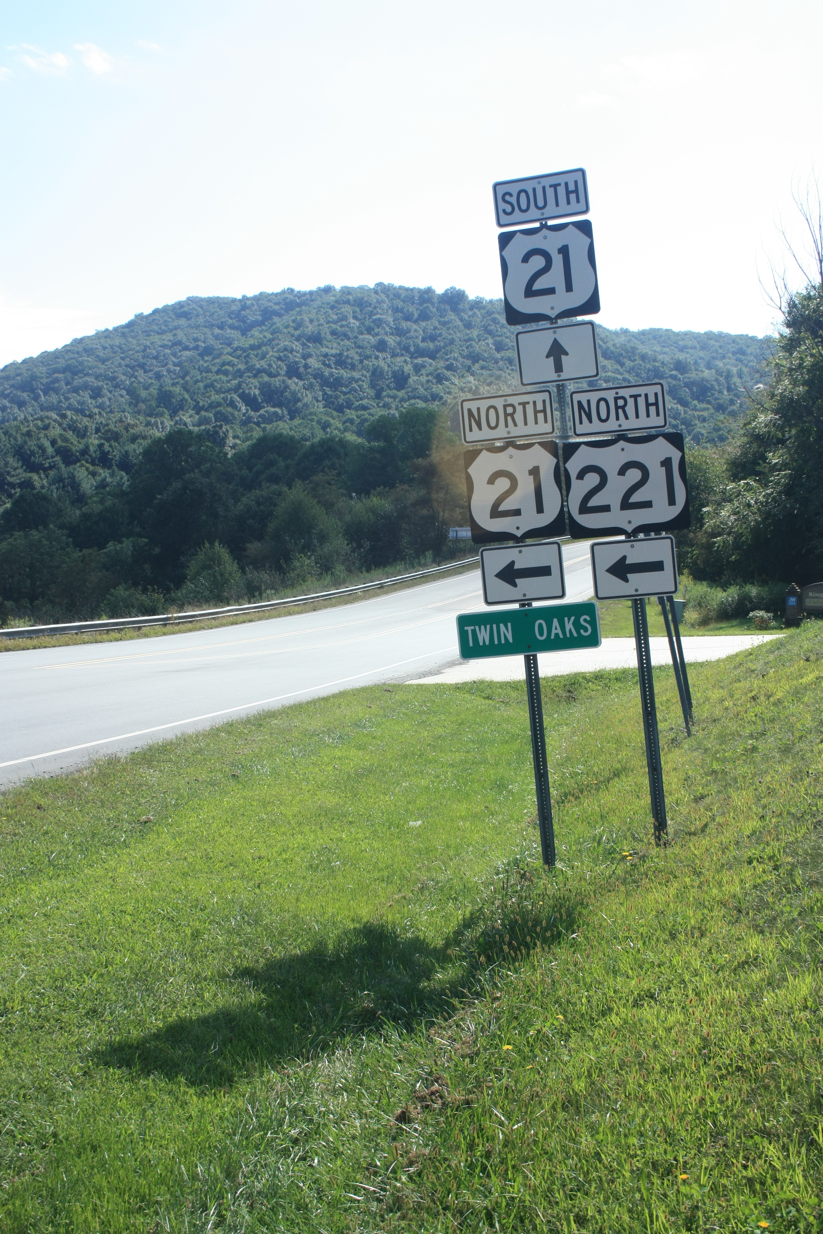
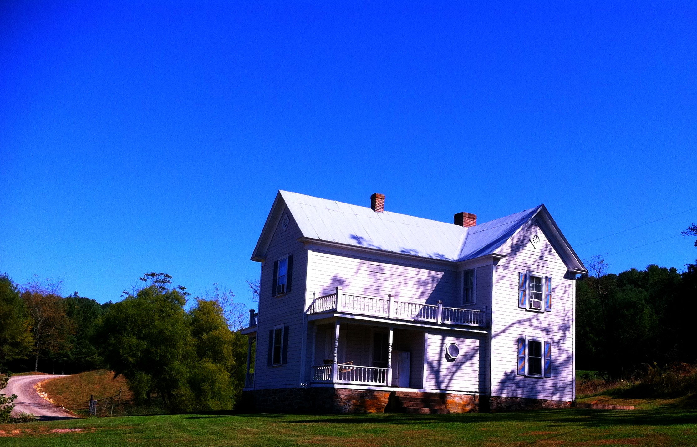
Twin Oaks

Bubba's Pampered Pedlers Camp

Riverside #virginiaisforlovers #virginiabeauty #graysonco @visitvbr @visitvirginia @ig_virginia @virginianature #friesva #gopro @gopro_water @goprocinema @goprobombsquad @gopro @goprohero4giveawayss @gopro_shoots @goprouniverse @gopro_everything @goprovid

RAD20130320.07 Grayson Highlands

Concolors coming soon (a few more years)

20180621_pics (86)

RAD20130320.10 New River

Rugby VA Nov 2011 (43)
Topographic Map of Powerhouse Road, Powerhouse Rd, Independence, VA, USA
Find elevation by address:

Places near Powerhouse Road, Powerhouse Rd, Independence, VA, USA:
425 Powerhouse Rd
709 Powerhouse Rd
1501 Grayson Pkwy
309 Hilltop Dr
Independence
Peach Bottom Road
269 Beaverdam Rd
180 Edgewood Dr
117 Edgewood Dr
215 Austin St
201 Mulberry Bottom Ln
162 Too Steep Ln
2682 Grayson Pkwy
138 Laurel Ln
Point Lookout Lane
1742 Point Lookout Ln
1919 Powerhouse Rd
1919 Powerhouse Rd
1919 Powerhouse Rd
1919 Powerhouse Rd
Recent Searches:
- Elevation of Corso Fratelli Cairoli, 35, Macerata MC, Italy
- Elevation of Tallevast Rd, Sarasota, FL, USA
- Elevation of 4th St E, Sonoma, CA, USA
- Elevation of Black Hollow Rd, Pennsdale, PA, USA
- Elevation of Oakland Ave, Williamsport, PA, USA
- Elevation of Pedrógão Grande, Portugal
- Elevation of Klee Dr, Martinsburg, WV, USA
- Elevation of Via Roma, Pieranica CR, Italy
- Elevation of Tavkvetili Mountain, Georgia
- Elevation of Hartfords Bluff Cir, Mt Pleasant, SC, USA