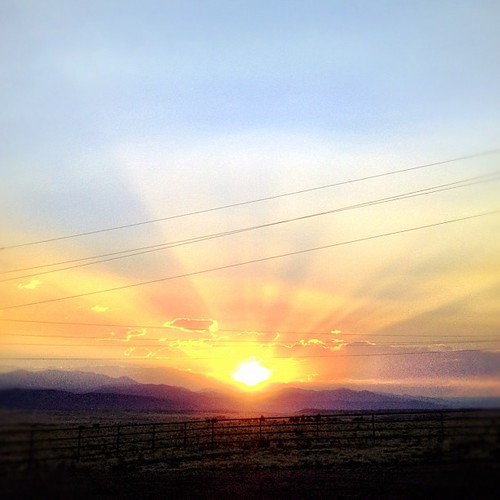
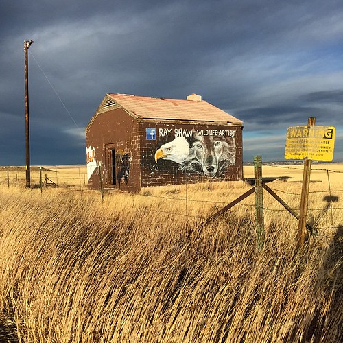
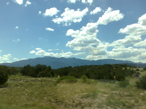
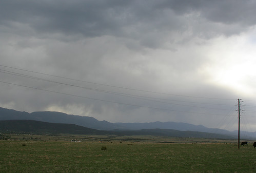
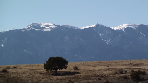
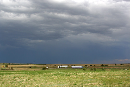
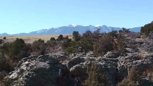
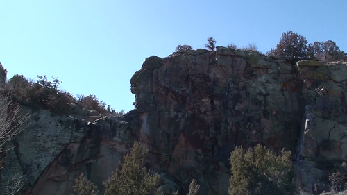
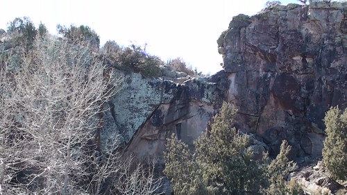
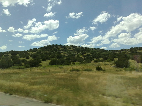
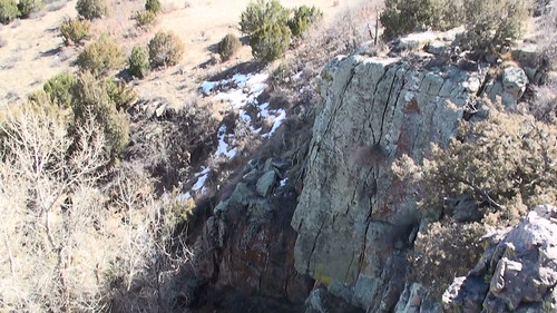
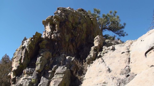
Elevation of Sun Valley Dr, Pueblo, CO, USA
Location: United States > Colorado > Pueblo County > Pueblo >
Longitude: -104.62849
Latitude: 37.9703881
Elevation: 1732m / 5682feet
Barometric Pressure: 82KPa
Related Photos:
Topographic Map of Sun Valley Dr, Pueblo, CO, USA
Find elevation by address:

Places near Sun Valley Dr, Pueblo, CO, USA:
Railroad Spring Drive
7708 Sunset Ridge Dr
Samuels Lane
Reno Road
William Finlay Drive
6855 Blue Bird Ln
5503 Reno Rd
5835 Verde Rd
7641 South Ln
Muddy Creek Road
6330 Muddy Creek Rd
6430 S Burnt Mill Rd
S Waterbarrel Rd, Beulah, CO, USA
Stem Beach
6702 S Waterbarrel Rd
4377 Rock Creek Rd
Farisita Boulevard
3310 Devonshire Ln
Highland Park
Brookfield Lane
Recent Searches:
- Elevation of Corso Fratelli Cairoli, 35, Macerata MC, Italy
- Elevation of Tallevast Rd, Sarasota, FL, USA
- Elevation of 4th St E, Sonoma, CA, USA
- Elevation of Black Hollow Rd, Pennsdale, PA, USA
- Elevation of Oakland Ave, Williamsport, PA, USA
- Elevation of Pedrógão Grande, Portugal
- Elevation of Klee Dr, Martinsburg, WV, USA
- Elevation of Via Roma, Pieranica CR, Italy
- Elevation of Tavkvetili Mountain, Georgia
- Elevation of Hartfords Bluff Cir, Mt Pleasant, SC, USA

