Elevation of Summit Landing Dr, Zirconia, NC, USA
Location: United States > North Carolina > Henderson County > Green River > Zirconia >
Longitude: -82.438261
Latitude: 35.212439
Elevation: 637m / 2090feet
Barometric Pressure: 94KPa
Elevation Map:
Satellite Map:
Related Photos:
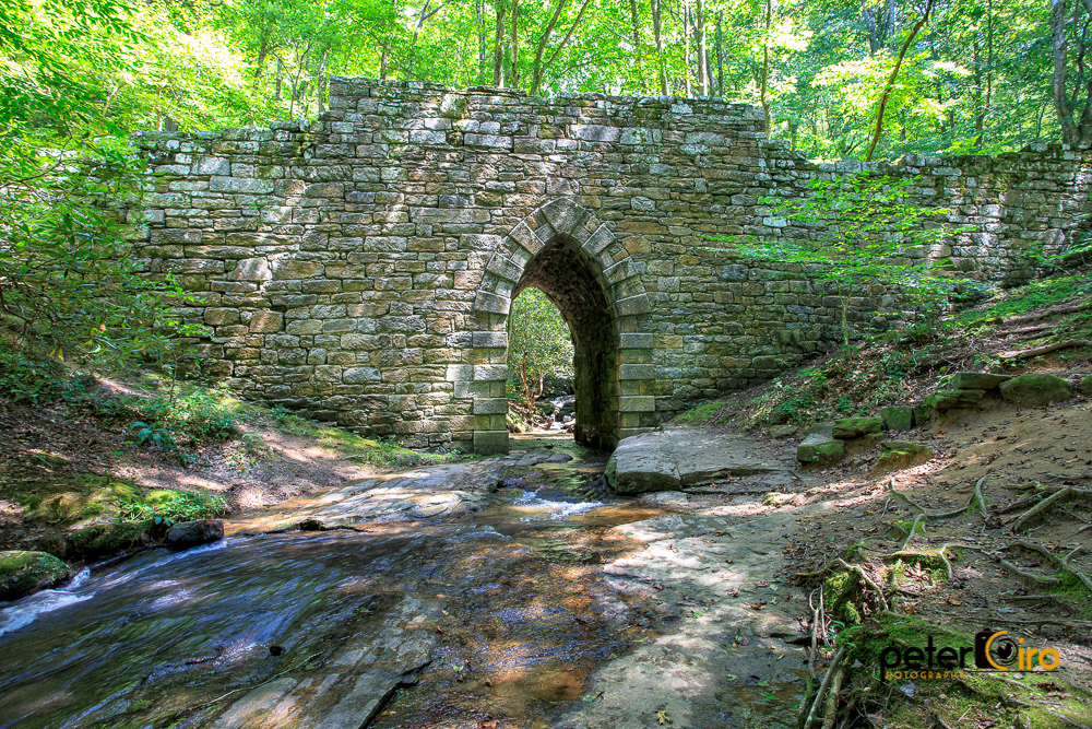
Poinsett Bridge near Highland, SC
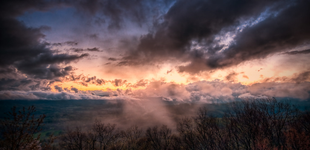
After the Storm
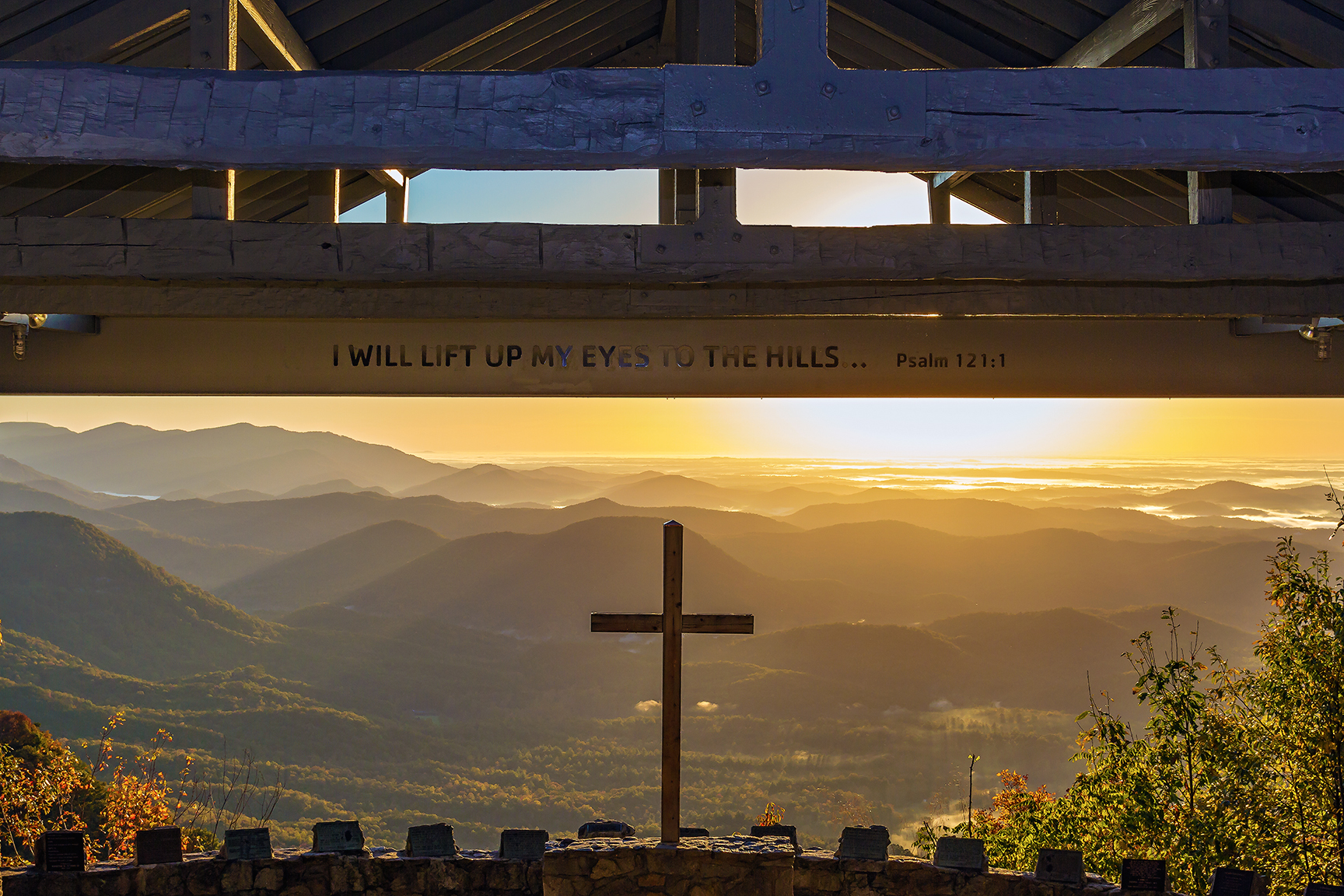
I will lift up my eyes to the hills...
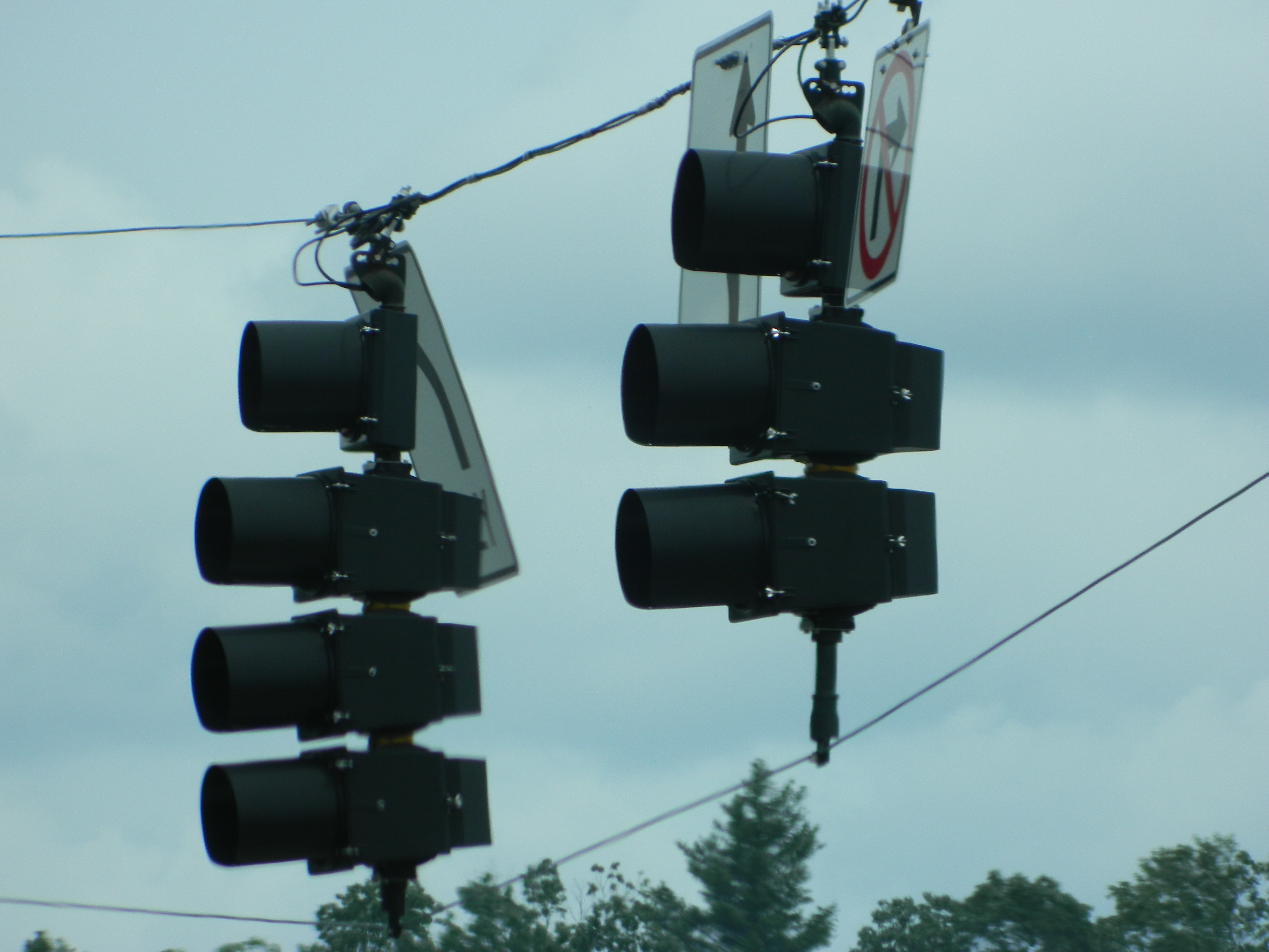
PV McCains Traffic Lights

PrettyPlace, (Symmes Chapel)
Pleasant Ridge Falls - Marietta, S.C.
River On the Rocks II

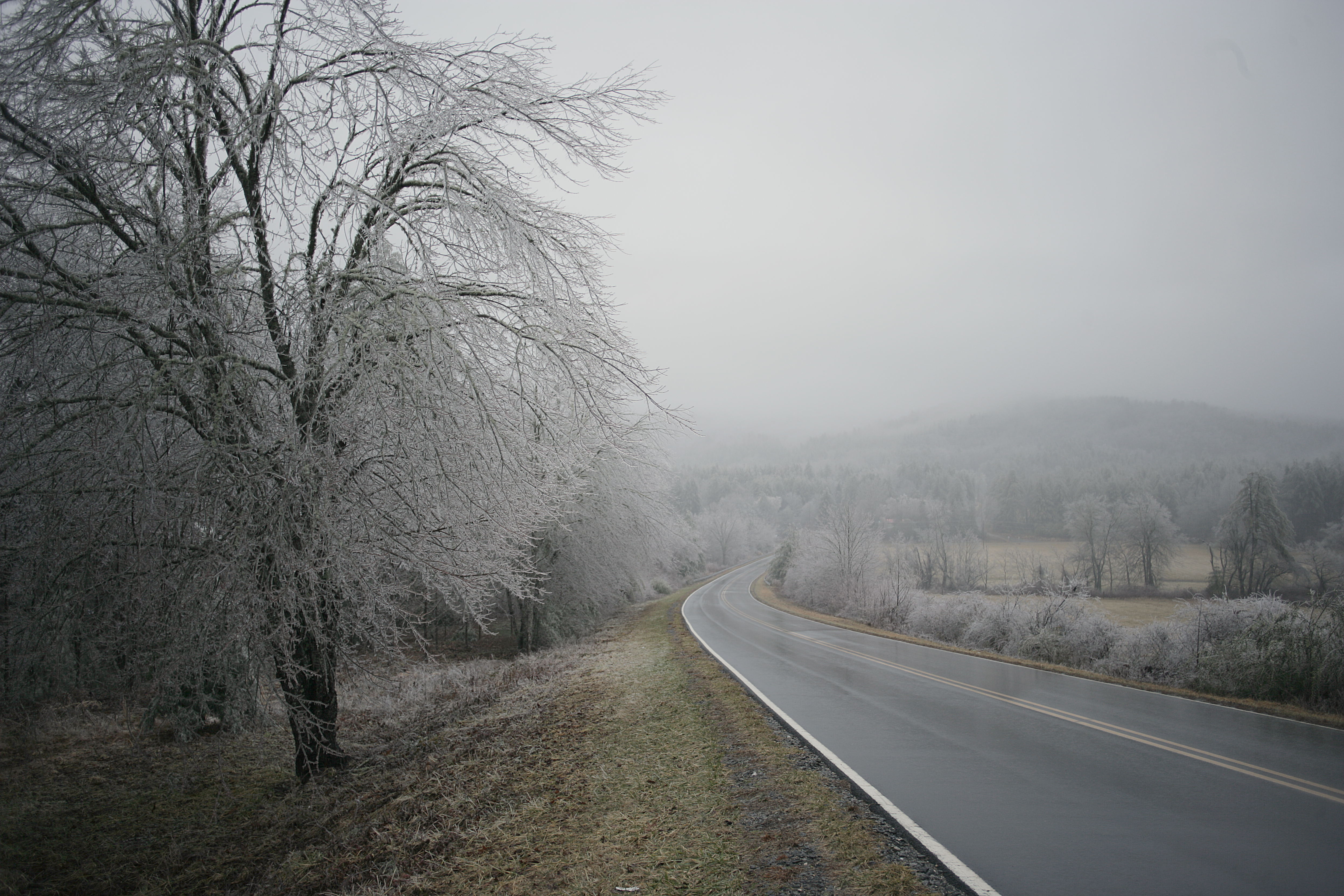
Jeter Mountain Fog
In a Hurry
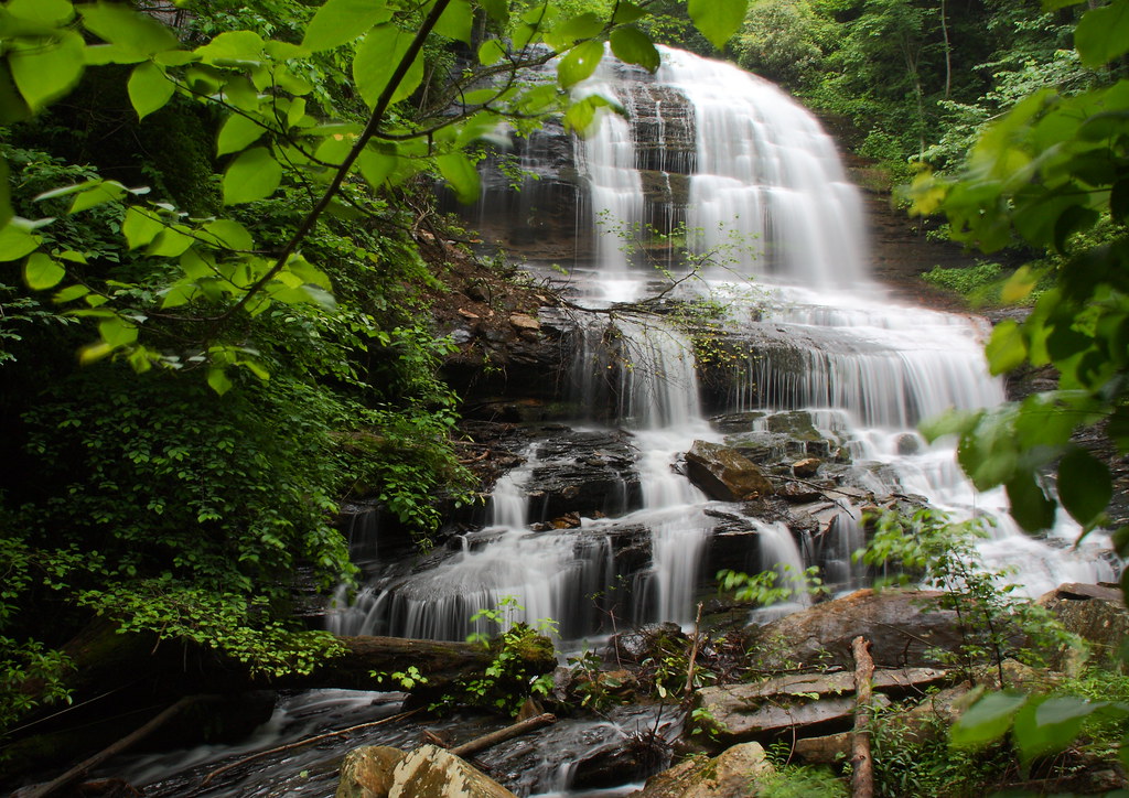
Pearson's Falls
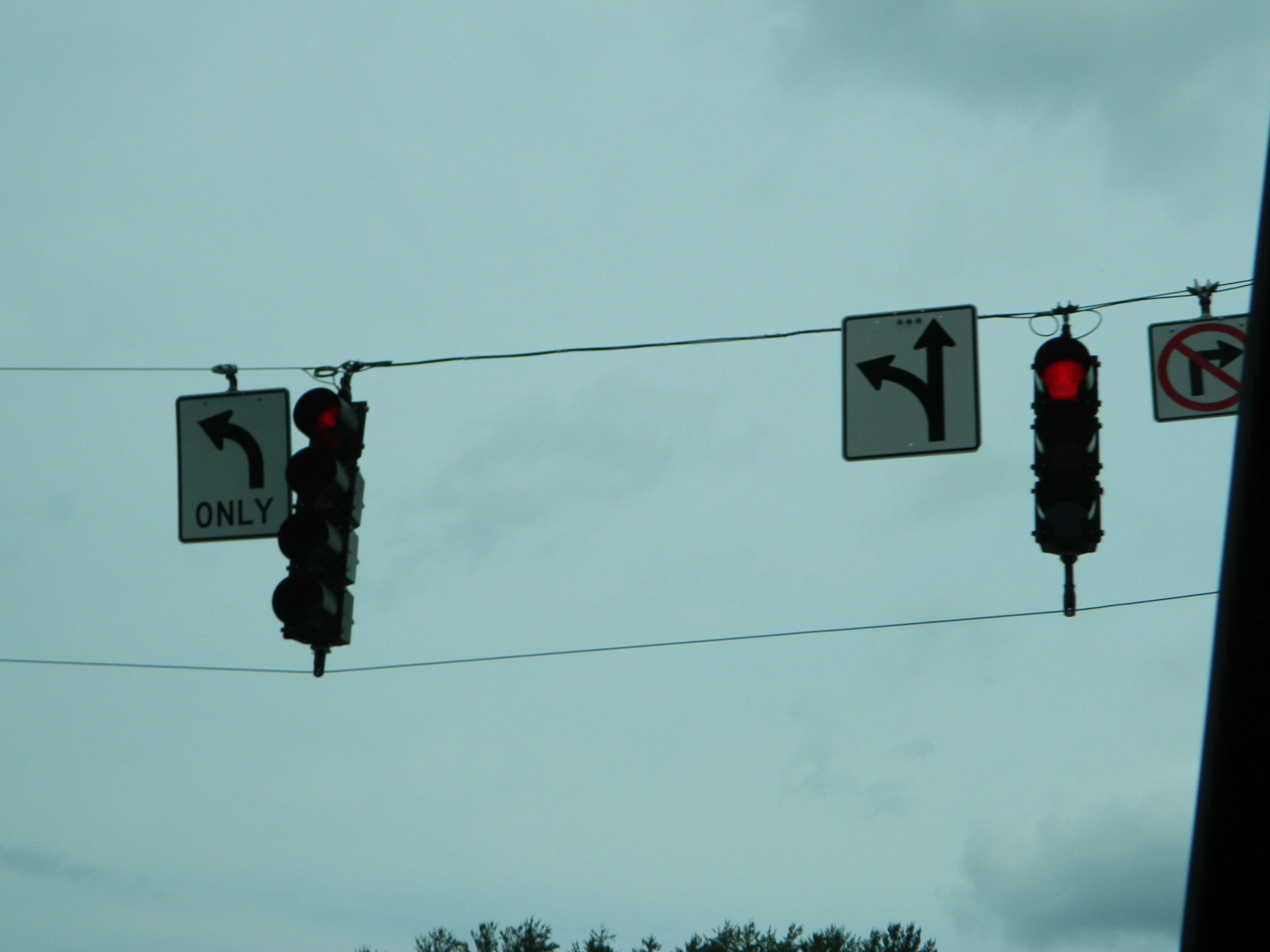
PV McCain Traffic Lights

Orange Peppers

Pearson Lower New Trail - Read Description
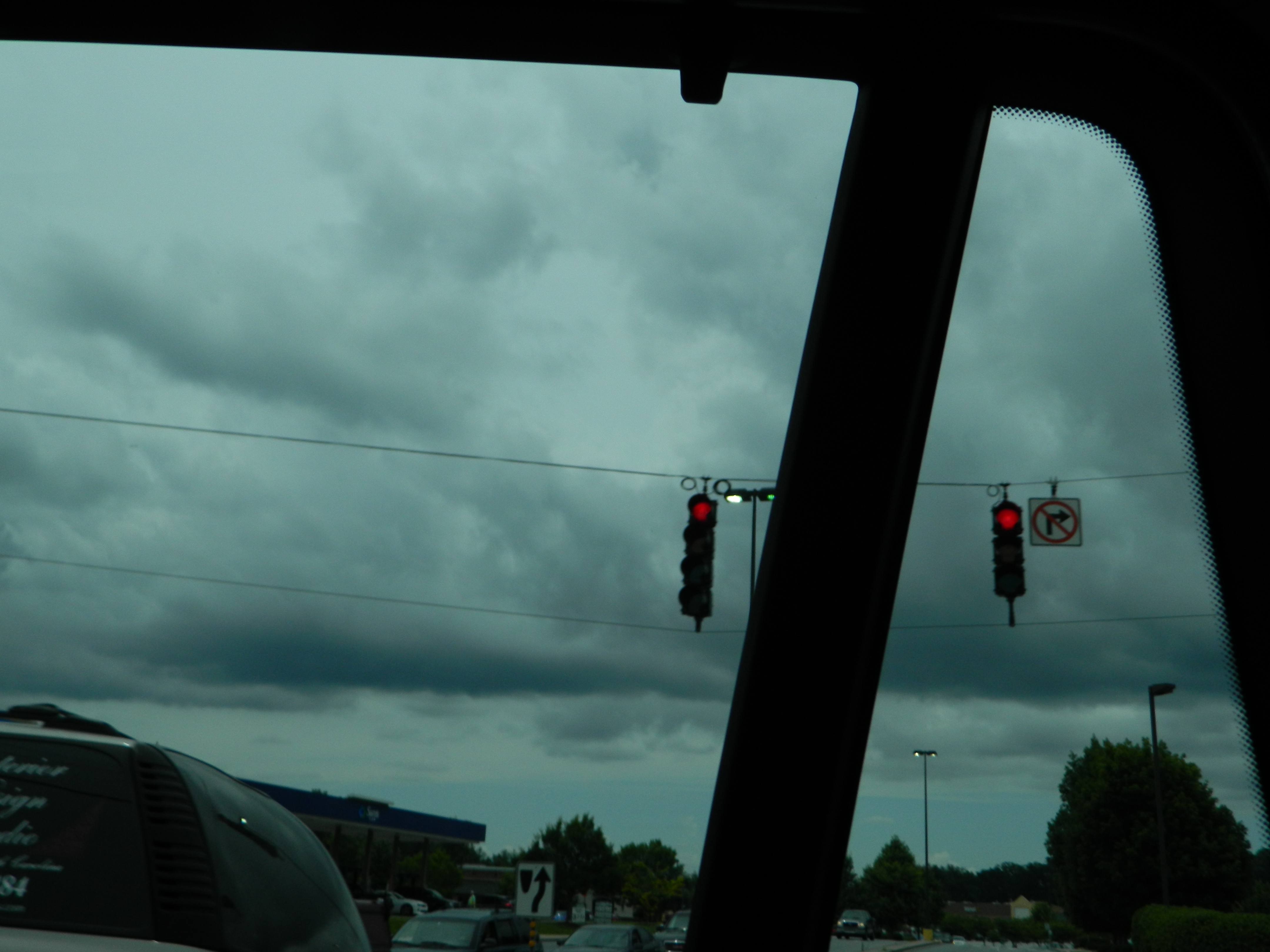
PV McCain Traffic Lights
PV McCain Traffic Lights

blue cliche wall with window

Photographers at Jump Off Rock viewing Sunset over Blue Ridge Mountains, North Carolina
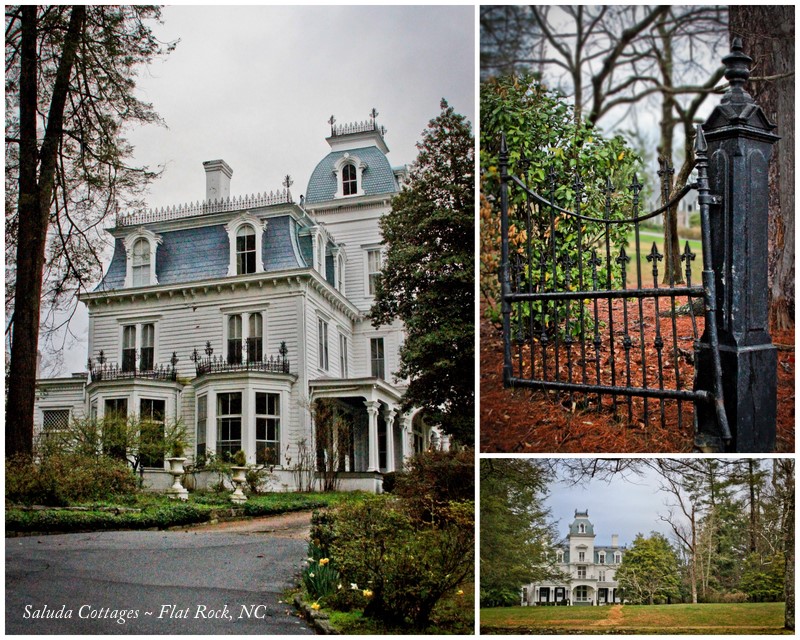
90/365 ~ Saluda Cottages, Flat Rock, NC

View of the drained Swimming Lake from the Boating Lake dam.
Looking Back
Pearson's Falls-through the Trees
Topographic Map of Summit Landing Dr, Zirconia, NC, USA
Find elevation by address:

Places near Summit Landing Dr, Zirconia, NC, USA:
20 Summit Landing Dr #20
81 Cranmore Ln
340 Camp Cove Rd
84 Bill Wilkie Dr
Tuxedo
214 Mondamin Rd
South Summit Ridge Road
153 Mondamin Rd
141 Mondamin Rd
268 S Summit Ridge Rd
226 S Summit Ridge Rd
511 Bell Mountain Rd
980 Mountain View Church Rd
Camp Windy Wood Road
373 Camp Windy Wood Rd
Mcalpine Mountain
67 Yorkshire Blvd
Greenville Hwy, Zirconia, NC, USA
Zirconia
103 Saddle Top Rd
Recent Searches:
- Elevation of Corso Fratelli Cairoli, 35, Macerata MC, Italy
- Elevation of Tallevast Rd, Sarasota, FL, USA
- Elevation of 4th St E, Sonoma, CA, USA
- Elevation of Black Hollow Rd, Pennsdale, PA, USA
- Elevation of Oakland Ave, Williamsport, PA, USA
- Elevation of Pedrógão Grande, Portugal
- Elevation of Klee Dr, Martinsburg, WV, USA
- Elevation of Via Roma, Pieranica CR, Italy
- Elevation of Tavkvetili Mountain, Georgia
- Elevation of Hartfords Bluff Cir, Mt Pleasant, SC, USA