Elevation of S Summit Ridge Rd, Saluda, NC, USA
Location: United States > North Carolina > Polk County > Saluda > Saluda >
Longitude: -82.420286
Latitude: 35.2193899
Elevation: 653m / 2142feet
Barometric Pressure: 94KPa
Elevation Map:
Satellite Map:
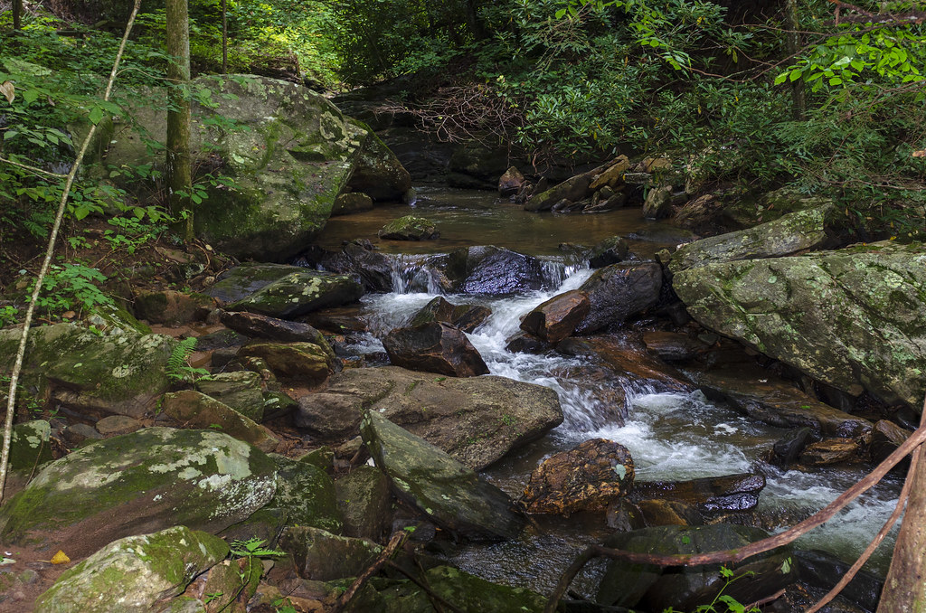
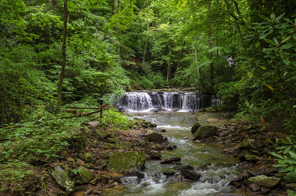
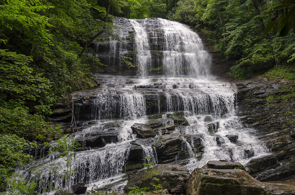
Related Photos:

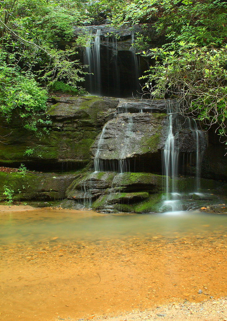
PEARSON'S FALLS BLUE RIDGE MOUNTAINS ~ N.C.

Pearson Lower New Trail - Read Description
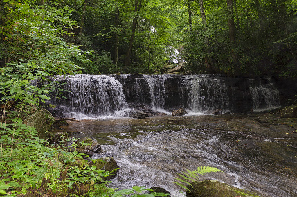
Pearson's Falls
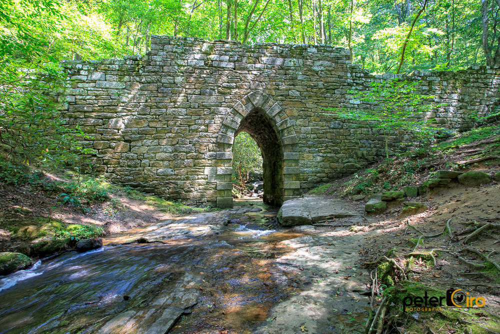
Poinsett Bridge near Highland, SC
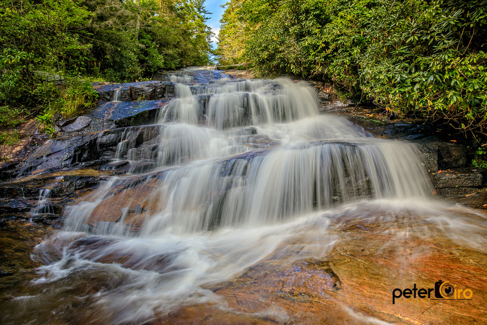
Wintergreen Falls in Dupont State Forest, Dahlonega, GA

View of the drained Swimming Lake from the Boating Lake dam.
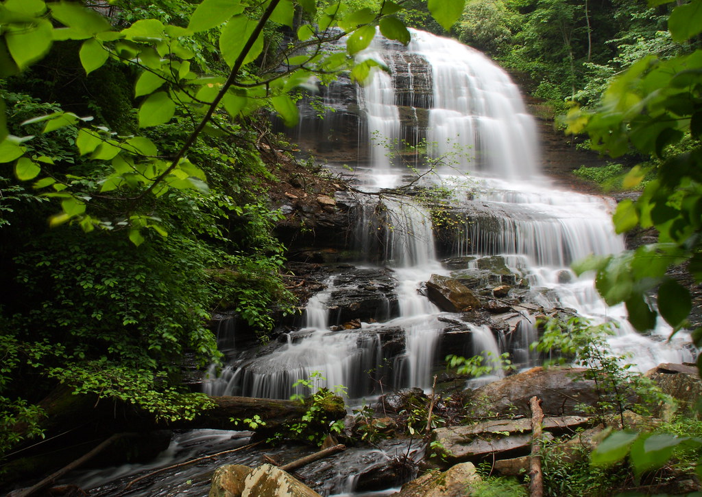
Pearson's Falls-through the Trees
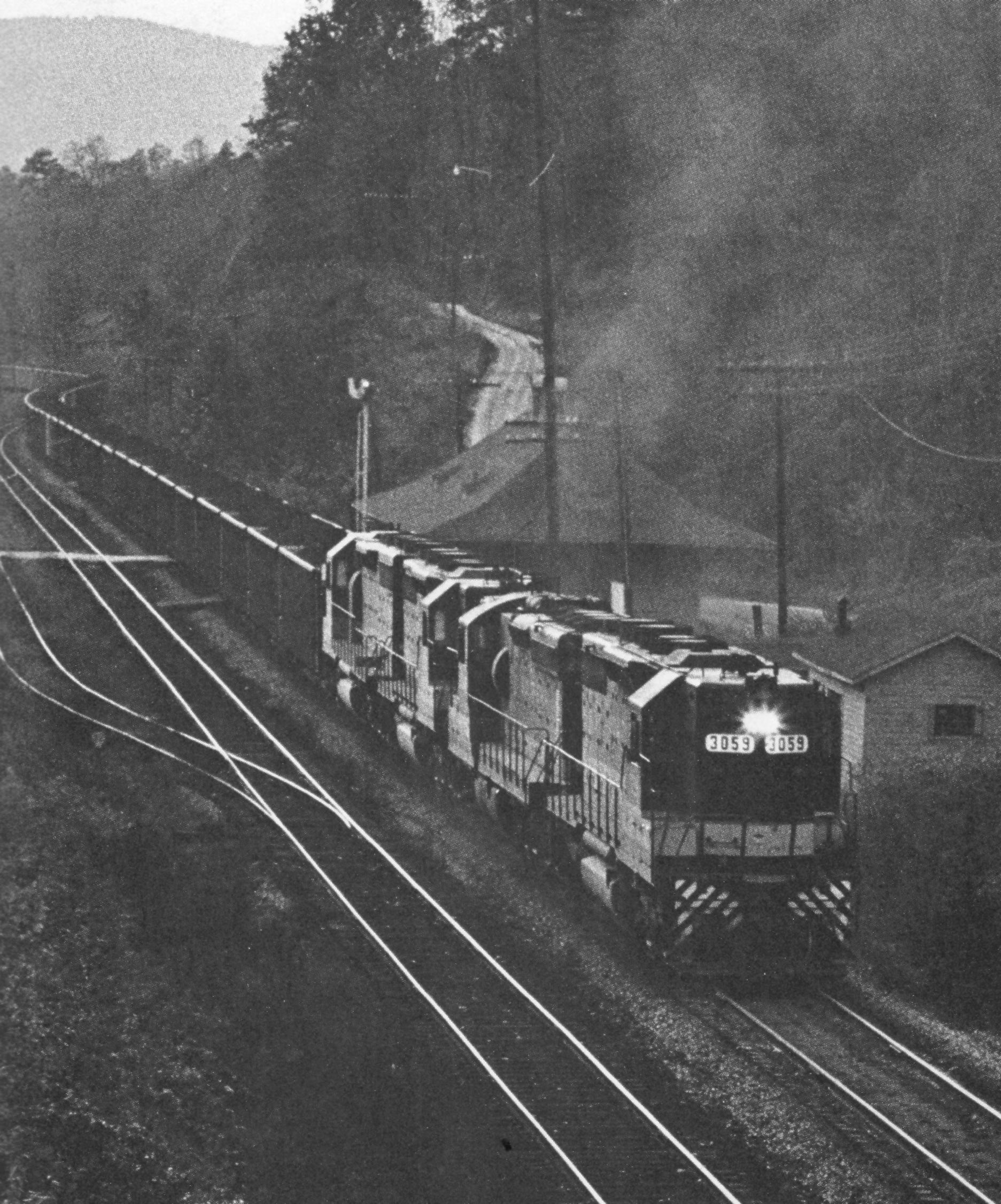
Belmont Coal Train Passing Saluda Depot, 1967

Once-staff members Dean Mayer and Mark Bailey view the remnants of The Boathouse, the waterfront-staff cabin where they once spent their summers on staff..
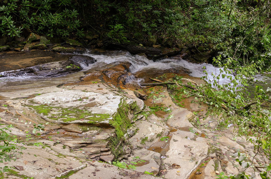
Just a Trickle
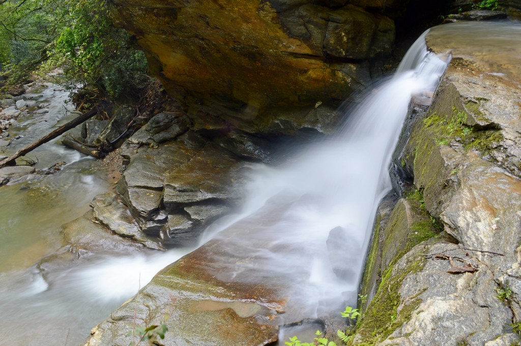
Bradley Falls Side View
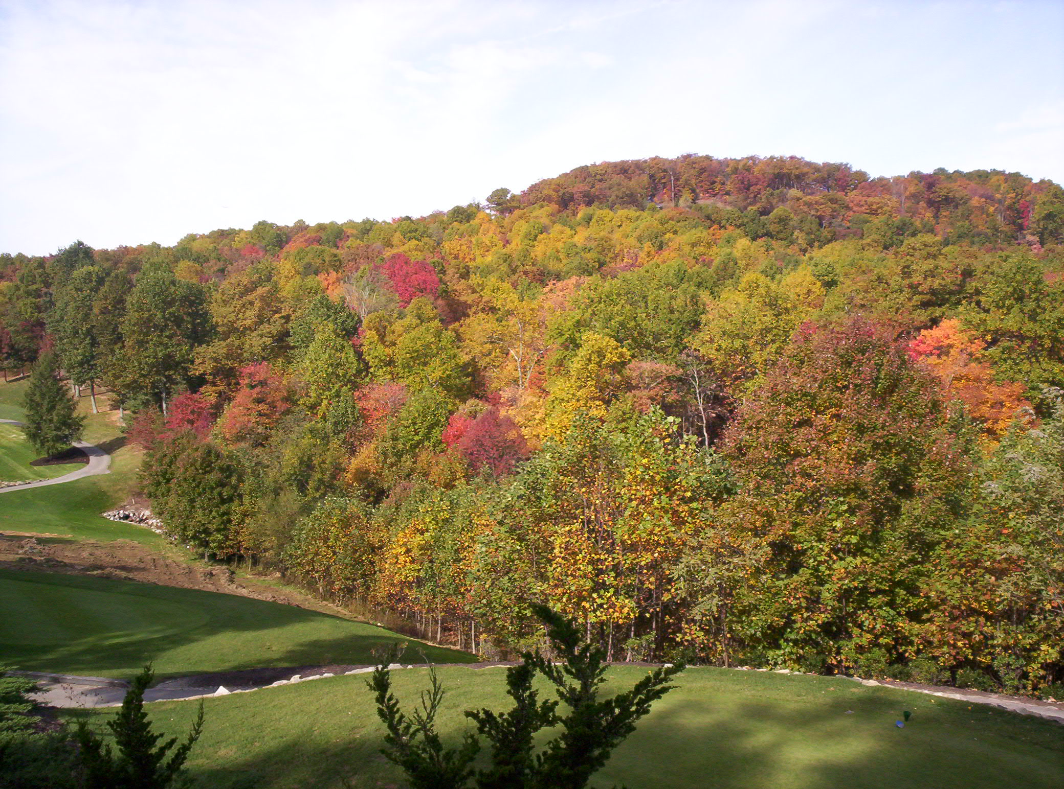
The Cliffs at Glassy Golf Course No 12
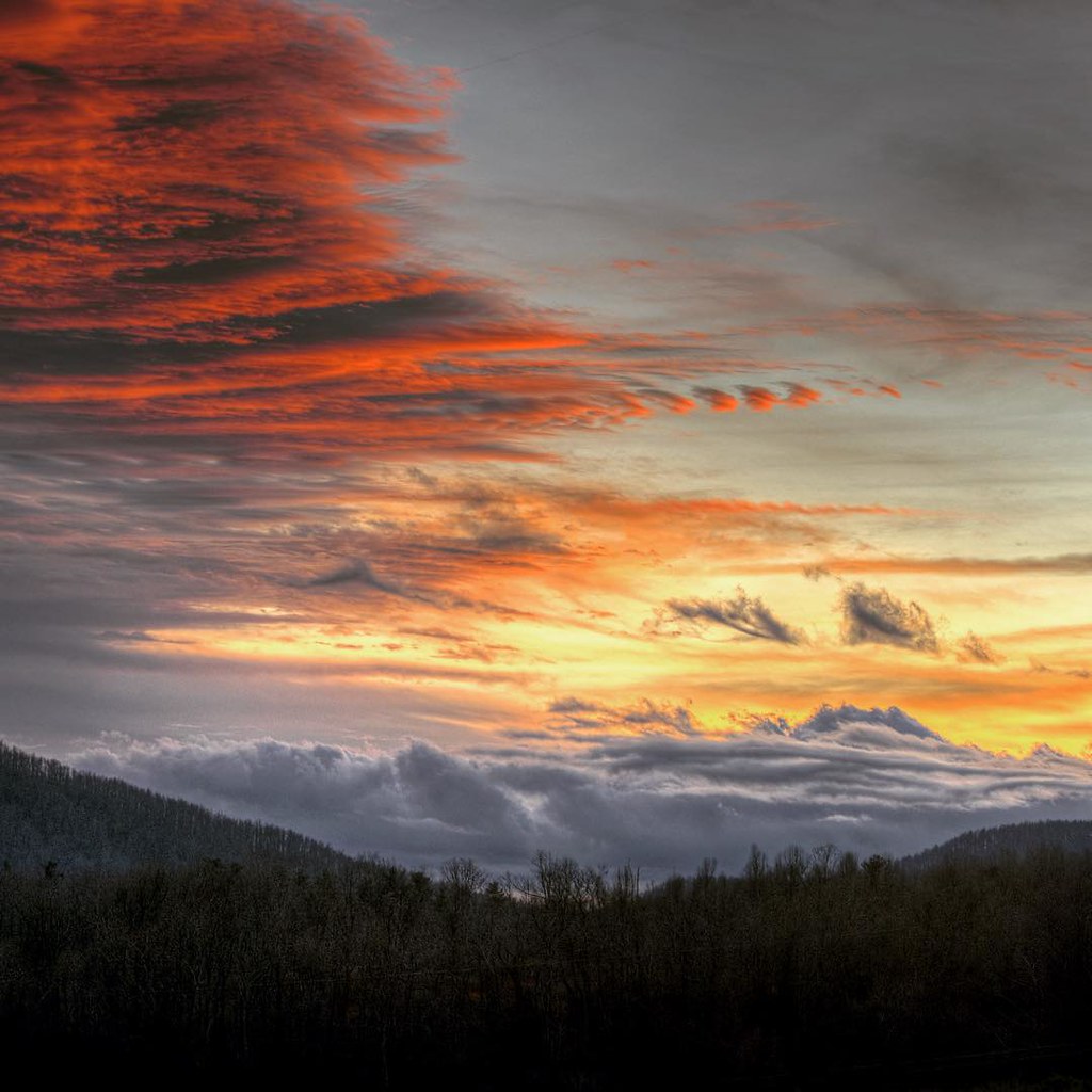
#saluda #sunset #happynewyears #lastsunset #2015 #northcarolina #nc #dramatic #mountain #view

Jump Off Rock fall color overlook best color view
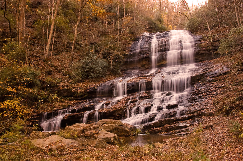
Pearson's Falls

High Bridge (Side View)
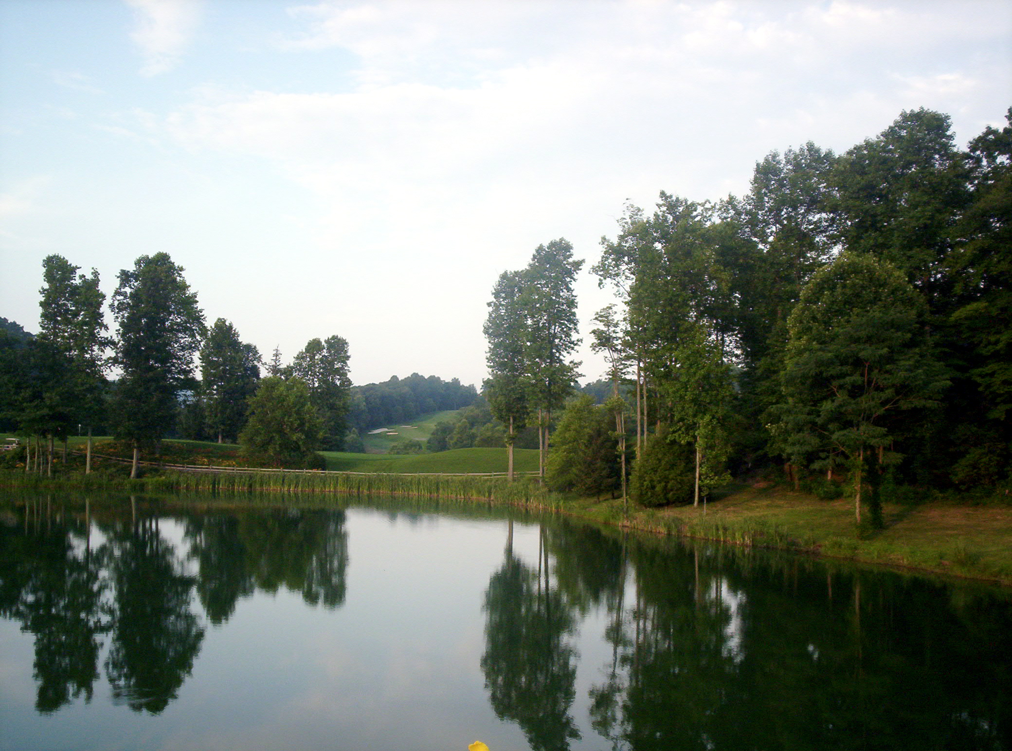
The Cliffs at Glassy Golf Course Pond
Morning Stroll

Day 1235 - The View
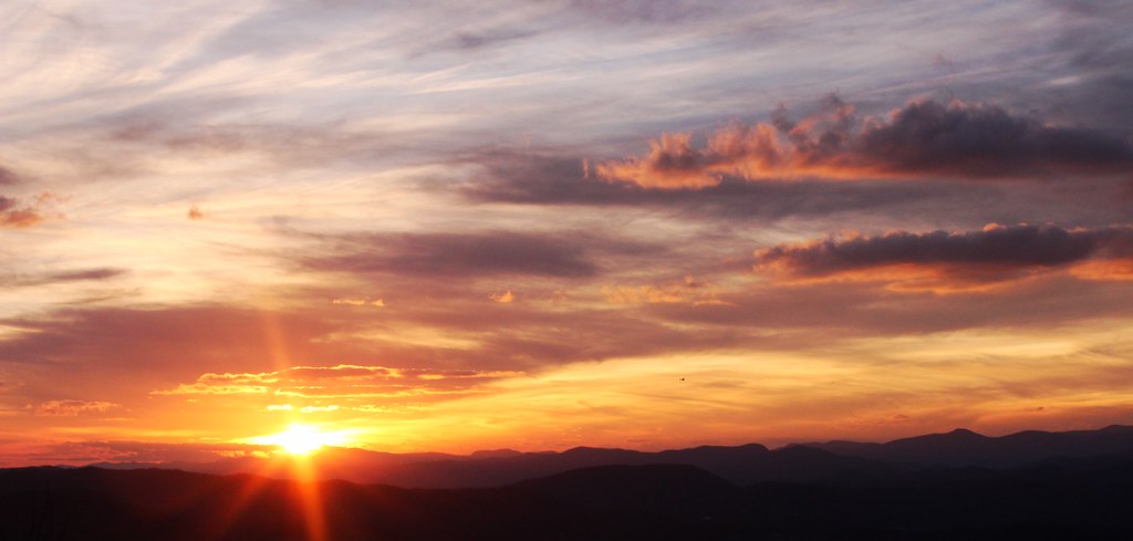
Early December Sunset

Jeter Mountain Fog
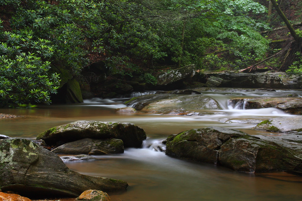
Gentle Falls on the North Pacolet River
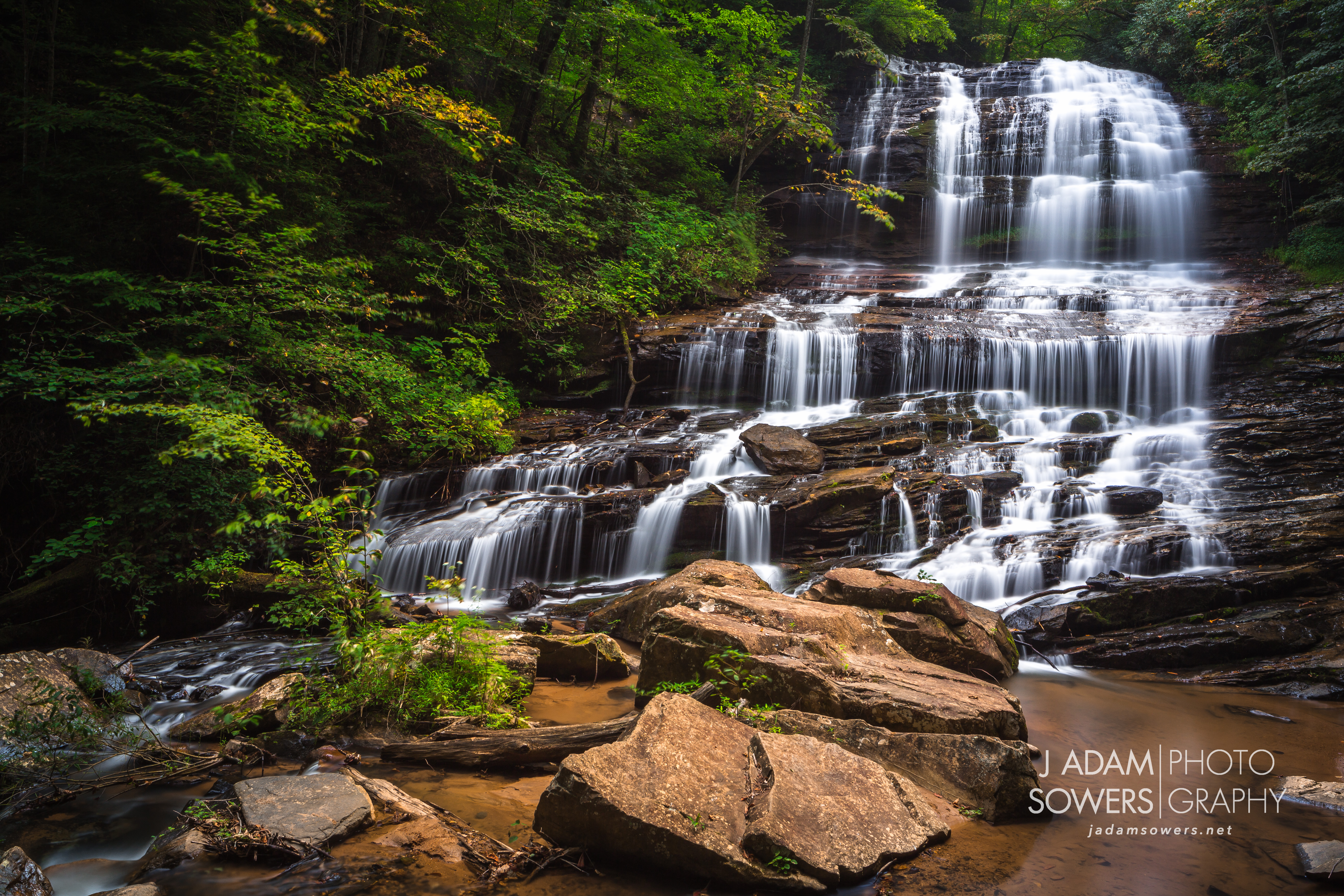
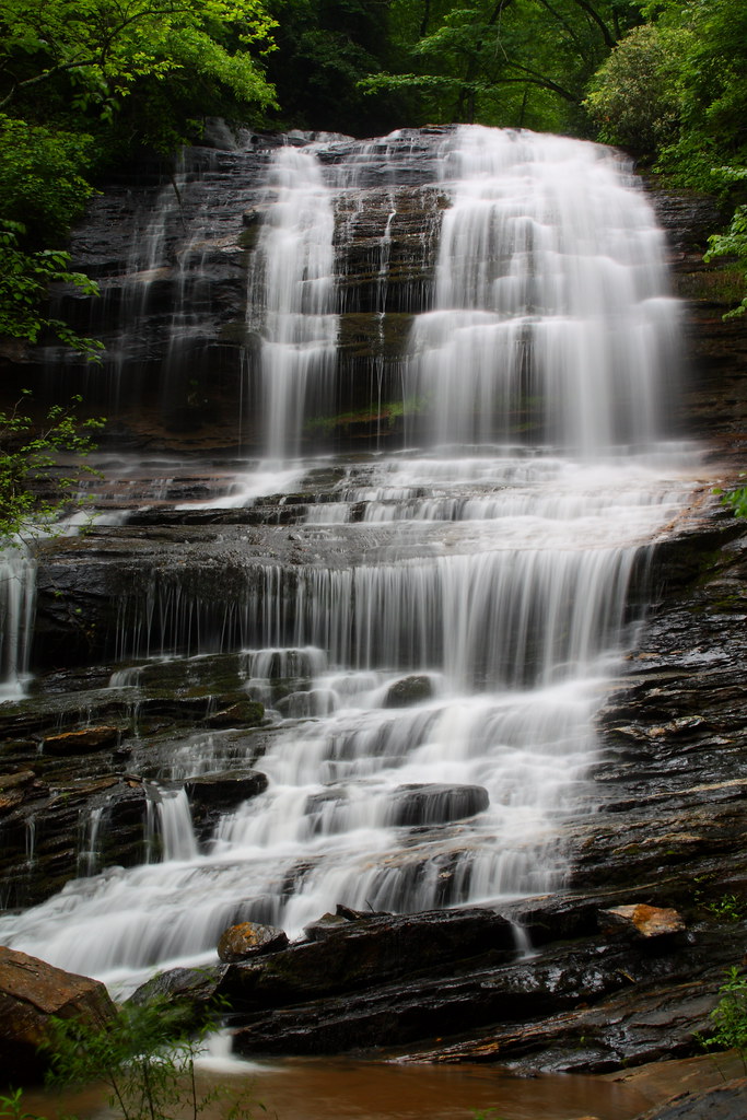
Pearson's Falls
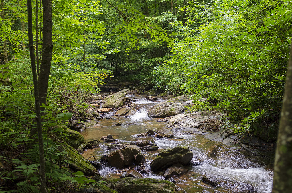
Gentle North Pacolet
North Pacolet River II
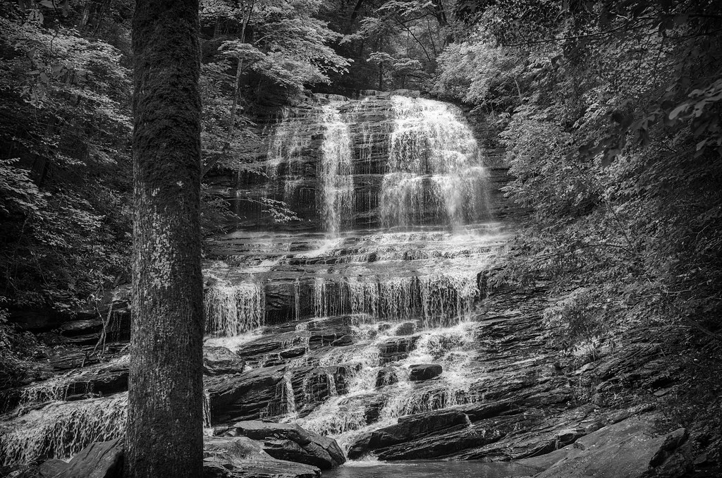
Pearson Falls - BW
Peaceful Trail
Falls Along the Pacolet
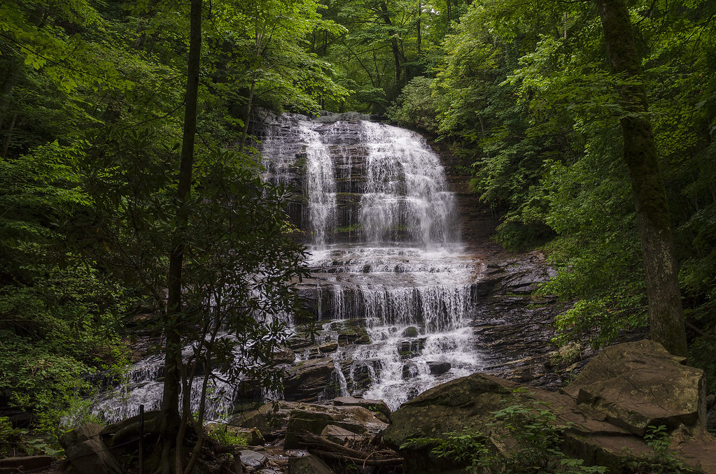
Pearson Falls

Bradley Falls creek
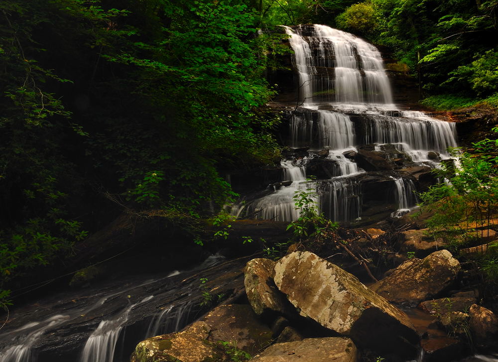
Pearson's Falls, N.C.
The Carl Sandburg National Historic Site

Pearsons Falls
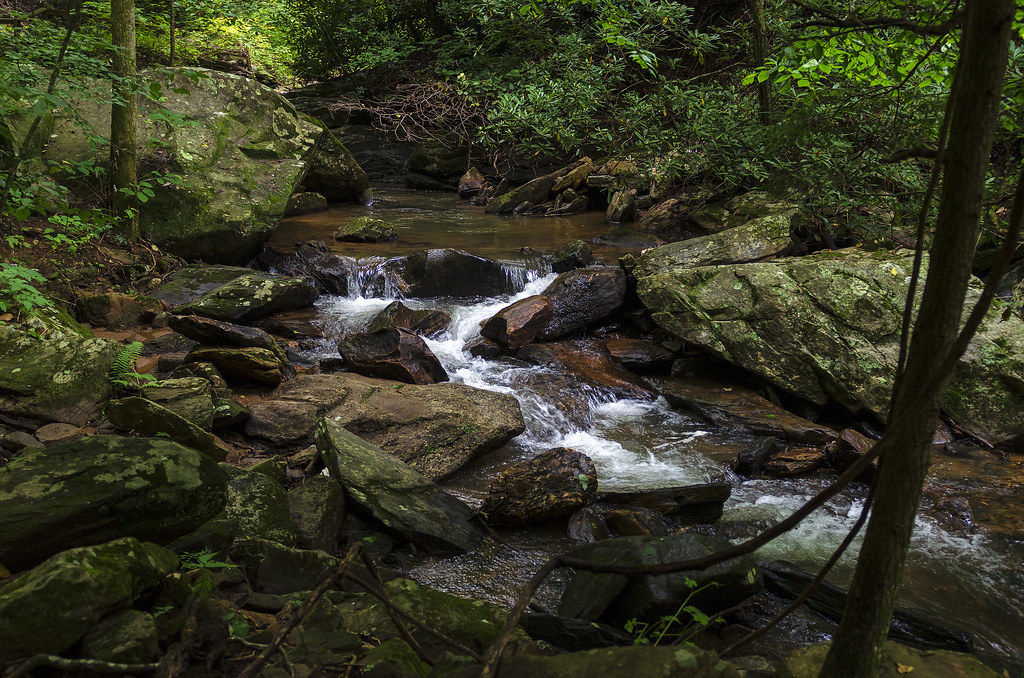
North Pacolet River
Moss on River Rock

Pearson Falls II
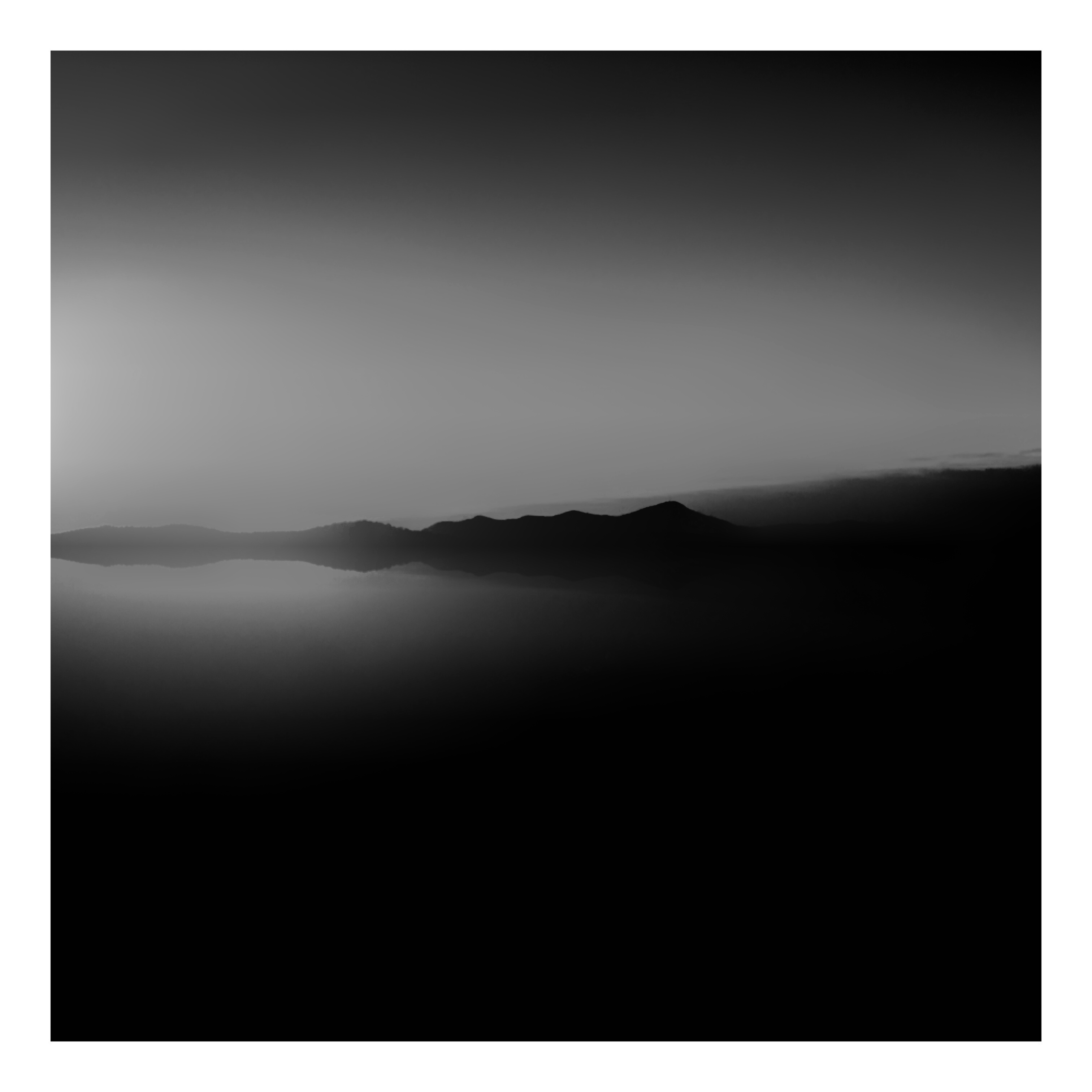
Low Key
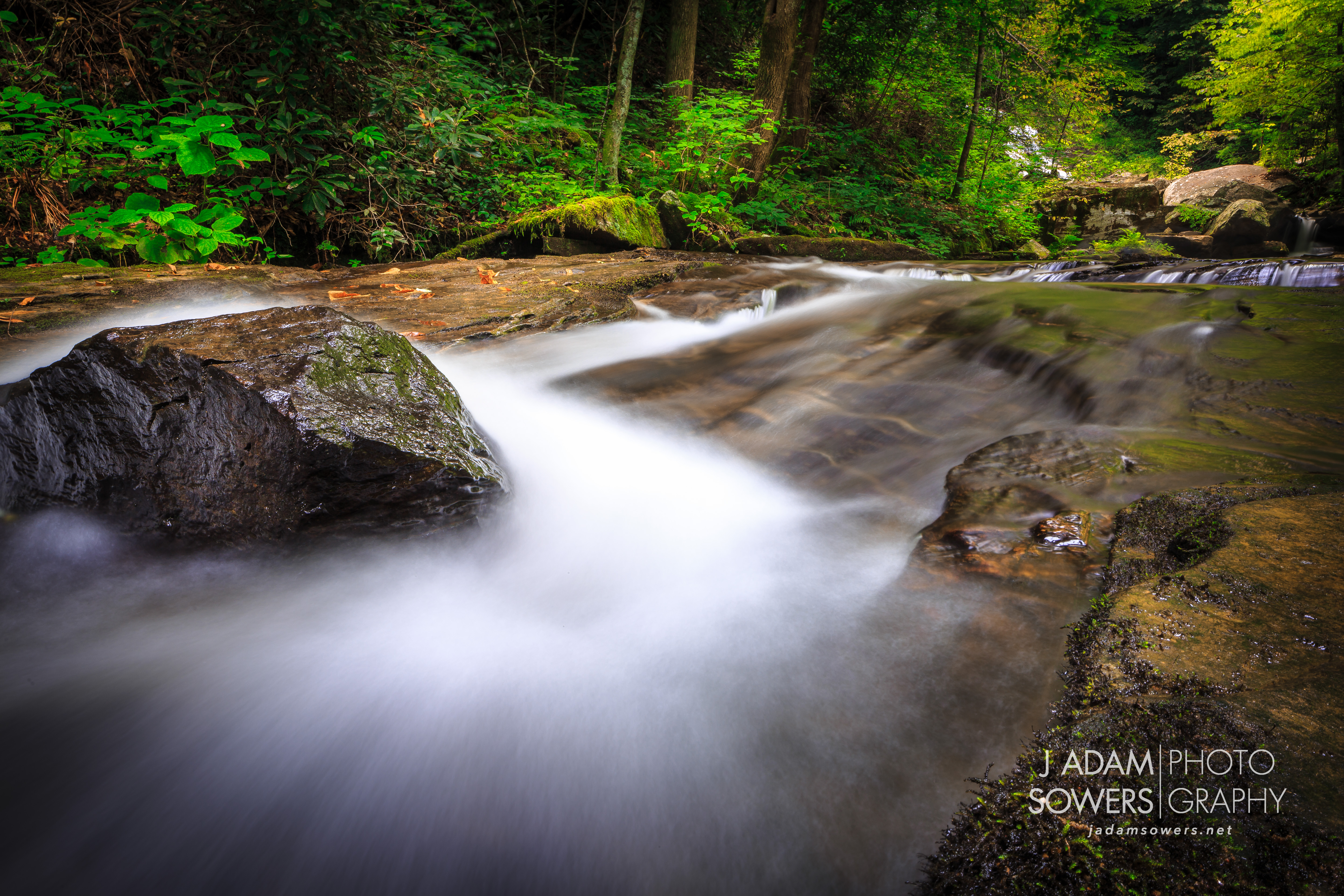
Fighting the flow
Topographic Map of S Summit Ridge Rd, Saluda, NC, USA
Find elevation by address:

Places near S Summit Ridge Rd, Saluda, NC, USA:
268 S Summit Ridge Rd
South Summit Ridge Road
153 Mondamin Rd
141 Mondamin Rd
214 Mondamin Rd
511 Bell Mountain Rd
Tuxedo
Camp Windy Wood Road
980 Mountain View Church Rd
373 Camp Windy Wood Rd
127 Summit Landing Dr
340 Camp Cove Rd
20 Summit Landing Dr #20
81 Cranmore Ln
84 Bill Wilkie Dr
Greenville Hwy, Zirconia, NC, USA
Zirconia
103 Saddle Top Rd
67 Yorkshire Blvd
Mcalpine Mountain
Recent Searches:
- Elevation of Corso Fratelli Cairoli, 35, Macerata MC, Italy
- Elevation of Tallevast Rd, Sarasota, FL, USA
- Elevation of 4th St E, Sonoma, CA, USA
- Elevation of Black Hollow Rd, Pennsdale, PA, USA
- Elevation of Oakland Ave, Williamsport, PA, USA
- Elevation of Pedrógão Grande, Portugal
- Elevation of Klee Dr, Martinsburg, WV, USA
- Elevation of Via Roma, Pieranica CR, Italy
- Elevation of Tavkvetili Mountain, Georgia
- Elevation of Hartfords Bluff Cir, Mt Pleasant, SC, USA