Elevation of Summit Dr, Peterstown, WV, USA

Location: United States > West Virginia > Monroe County > Western > Peterstown >

Longitude: -80.786368

Latitude: 37.409503

Elevation: 589m / 1932feet

Barometric Pressure: 94KPa

Elevation Map:

elevation map of Summit Dr, Peterstown, WV, USA

Satellite Map:

Satellite map of Summit Dr, Peterstown, WV, USA

Related Photos:

landscape farm barn sky clouds fence gate stream creek flood road rural country trees wv westvirginia monroe bobbell nikon d750
Cooks Run Barn_Wide
happies lindside classictruck truck chevy gasstation serviceastation bobbell nikon d750 clouds spring
Happies Wide
road wood bridge autumn red usa mountain tree history fall monument nature leaves yellow rural forest river landscape outdoors fire wooden leaf nc scenery crossing view cross unitedstates south scenic historic southern westvirginia covered vista hamlet attraction settlement midatlantic uplandsouth
West Virginia, Mountain Momma
virginia pearisburginn riverbendbed breakfastbed breakfastbbinnnew river
Porch view
landscape geotagged virginia nationalforest overlook hdr mountainash jeffersonnationalforest gilescounty lookoffrock
Lookoff Rock
bridge virginia nikon highway zoom bridges appalachiantrail newriver angelsrest scenicview southwestvirginia newrivervalley 55200mm pearisburg gilescounty ushighway us460 pearisburgvirginia nikond5000 skyemarthaler angelsrestoverlook
US Highway 460, Pearisburg, Virginia
winter mountains field scenic wv westvirginia vista cinderblock appalachia monroecounty lindside
View from Gas Station Bathroom
blue sky green clouds scenery wv vista hdr bluestone bluestonelake pipestem summerscounty hdrextremes
The View from Indian Ridge
bridge train roanoke narrows
Under the narrows Bridge with hoppers
virginia pearisburg innatriverbend bedandbreakfast bedbreakfast bb inn happybirthday birthday cake
Happy Birthday Dad!
The view from our bed as I woke up
virginia bb inn pearisburg innatriverbend bedandbreakfast bedbreakfast newriver river
New River view
railroad train virginia scenery ridge va blueblue mountainswest
beautiful view near rich creek
virginia pearisburginn riverbendbed breakfastbed breakfast bb inn
Beautiful porch
canon pembroke virginia hike 7d barneyswall
View over Pembroke
new river virginia norfolksouthern
New River
appalachiantrail angelsrest pearisburg
View of Pearisburg from Angel's Rest
side view
bottom bridge
stone, green, and iron
two stack
snow weather fence hff farm winterscene mountains landscape abandoned monroecounty peterstown d800 nikon bobbell
Peterstown Home in Snow (Explored)
hanscreekchurch hanscreek church countrychurch monroecounty greenville wv westvirginia fallcolors mountains landscape bobbell nikon d850
Hans Creek Union Church, Greenville, WV. (Explored)
home farmhouse queenanne farm lindside wv monroecounty landscape clouds beehives bees winter bobbell nikon d800 weather
Queen Anne in Lindside
barn farm abandoned road countryroad mountains serene westvirginia wv lindside monroe fence trees sky bw bobbell xt1 fujifilm
Barn on Cook's Run
the world through a crack
bridge mountains landscape virginia nikon bridges railroadbridge towns narrows newriver hikingtrail appalachianmountains widezoom newrivervalley sentinelpoint gilescounty 18300mm nikond5000 gilescountyvirginia skyemarthaler newriverbridges virginiatowns
Narrows, Virginia
sunset sky sun mountains clouds evening photographer
Shooting Sunset
sun tree grass sunrise va pearisburg
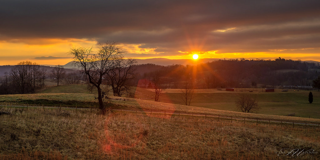
Sunrise in Pearisburg
trees sunset sky orange sun mountains clouds forest evening rays ridges
Simmering Down
farmhouse abandoned snow landscape clouds monroecounty bobbell nikon d800 fence winter peterstown wv
Farmhouse on US 219
barn cows farm redbarn winter clouds landscape nikon cattle wv d800 monroecounty bobbell wetvirginia lindside tractor johndeere endloader hay hayfork crib corncrib
Working Farm
barn redbarn fall fallcolor aurumn road clouds sunset landscape bobbell nikon d800 wv westvirginia monroecounty
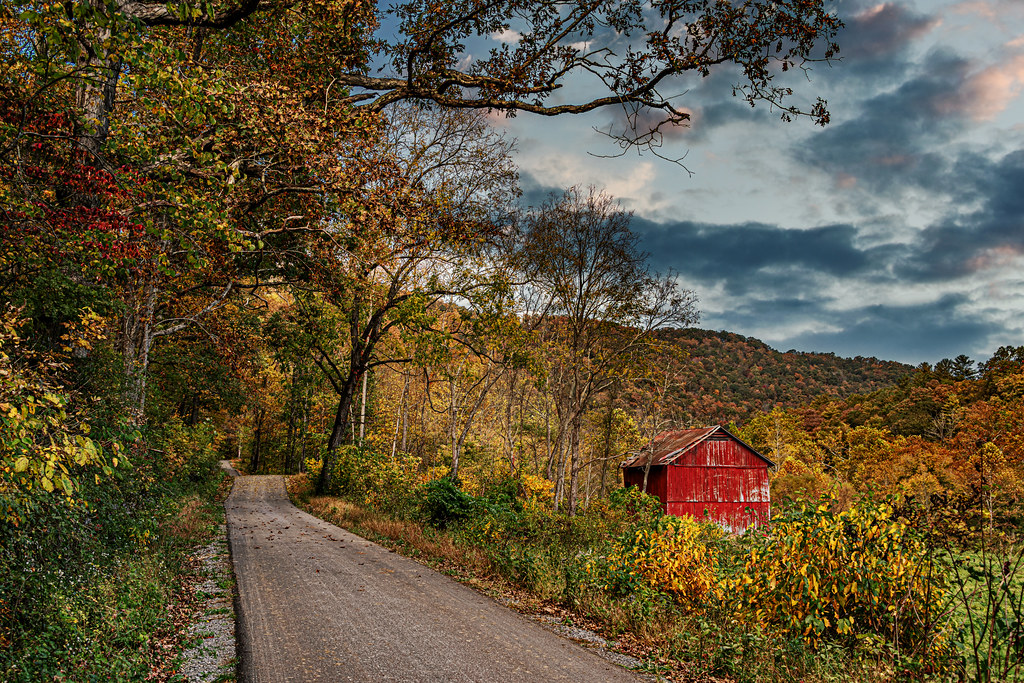
Fall Colors on Indian Creek Road
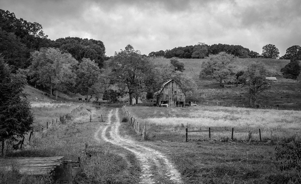
farm barn clouds landscape bw monroecounty bobbell nikon d750 wv westvirginia lindside cooksrun dirtroad
Cooks Run Farm B&W
farm landscape sky clouds sunrise wv westvirginia lindside monroecounty bobbell nikon d750
West Virginia Farm
abandoned farmhouse monroecounty redsulphursprings trees clouds forest mountain mountains sky landscape wv westvirginia bobbell nikon d800
House on Indian Creek, Oct 1, 2020
farmhouse house abandoned fall autumn lindside monroecounty wv westvirginia bobbell nikon d850 clouds sky landscape
Farmhouse on Pine Grove Road
snow dog garage appalachia wv westvirginia monroecounty landscape winterscene winter bobbell nikon d850 weather truck pickup snowstorm
Snow in the Hollow
church winter landscape monroecounty drypond road rural countrychurch clouds bobbell nikon d800 wv westvrginia
Dry Pond Primitive Baptist Church