Elevation of Lawrence Rd, Rich Creek, VA, USA
Location: United States > Virginia > Giles County > Western > Rich Creek >
Longitude: -80.832204
Latitude: 37.406514
Elevation: 663m / 2175feet
Barometric Pressure: 94KPa
Elevation Map:
Satellite Map:
Related Photos:

The Concord pine trees, Athens, WV

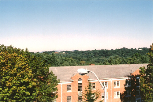
Concord College (now Concord University), Athens WV, 2000

Under the narrows Bridge with hoppers
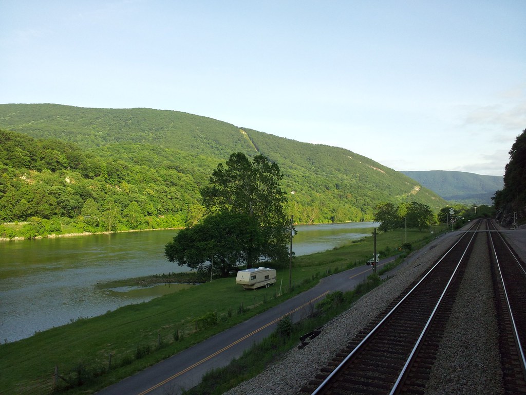
New River

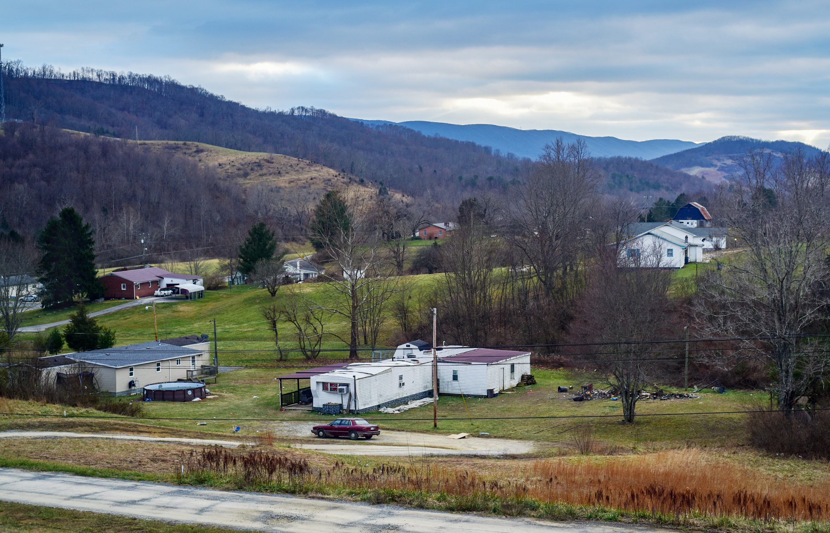
beautiful view near rich creek

IMG_0102_First Views of Pearisburg near VA 460

Porch view
View of Pearisburg from Angel's Rest
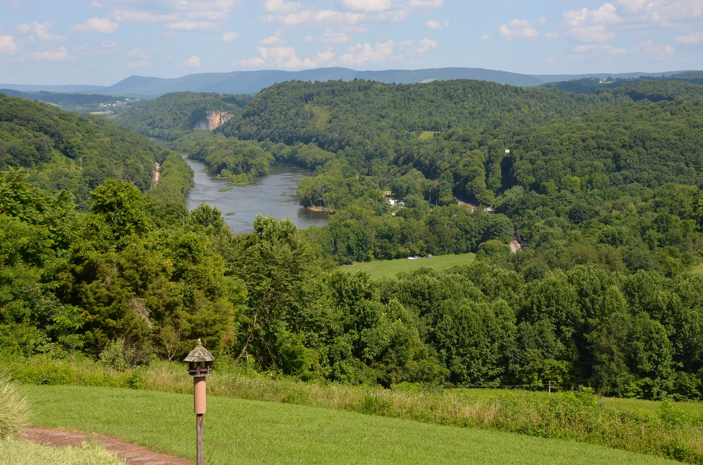
New River view
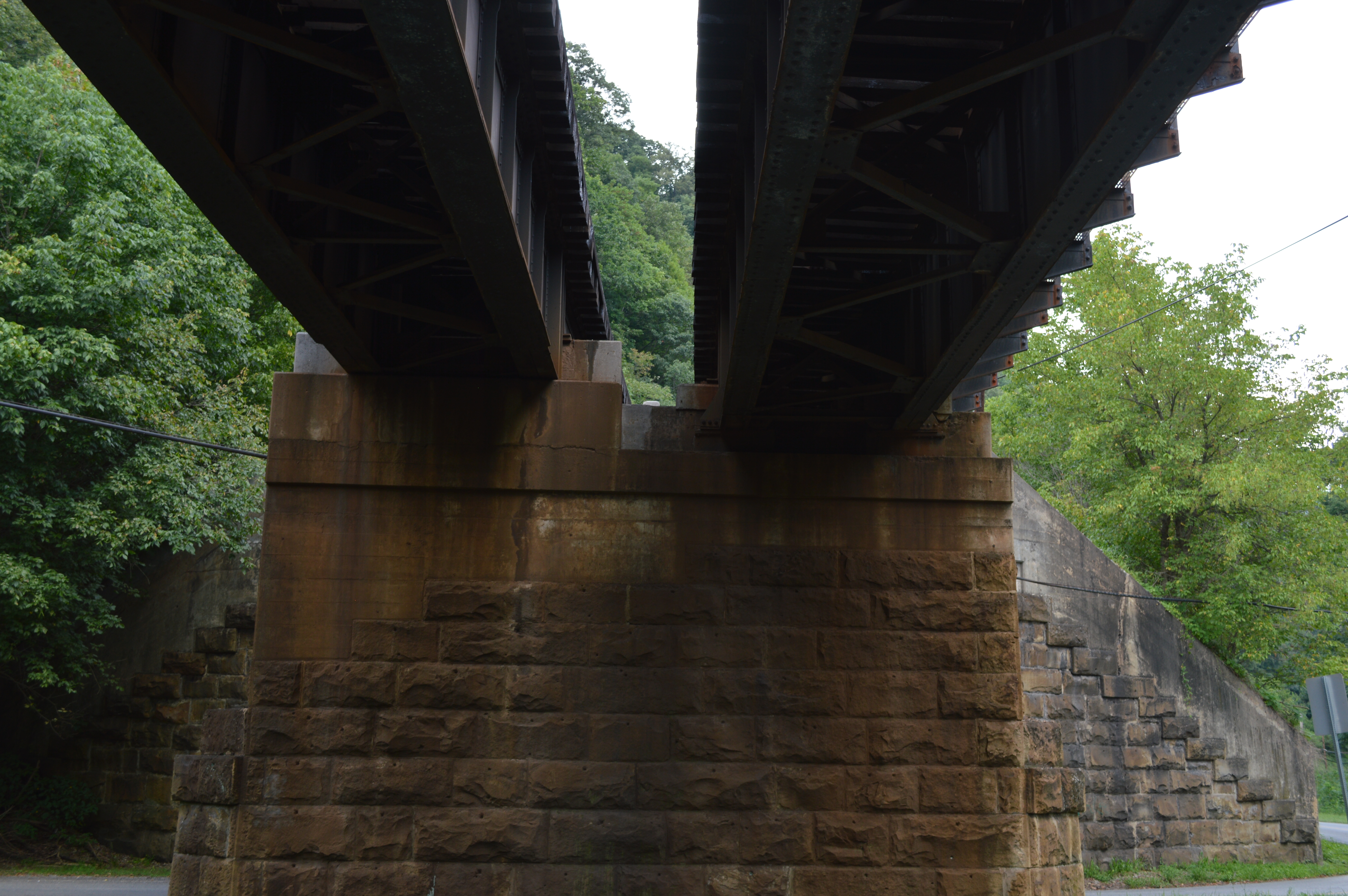
bottom bridge
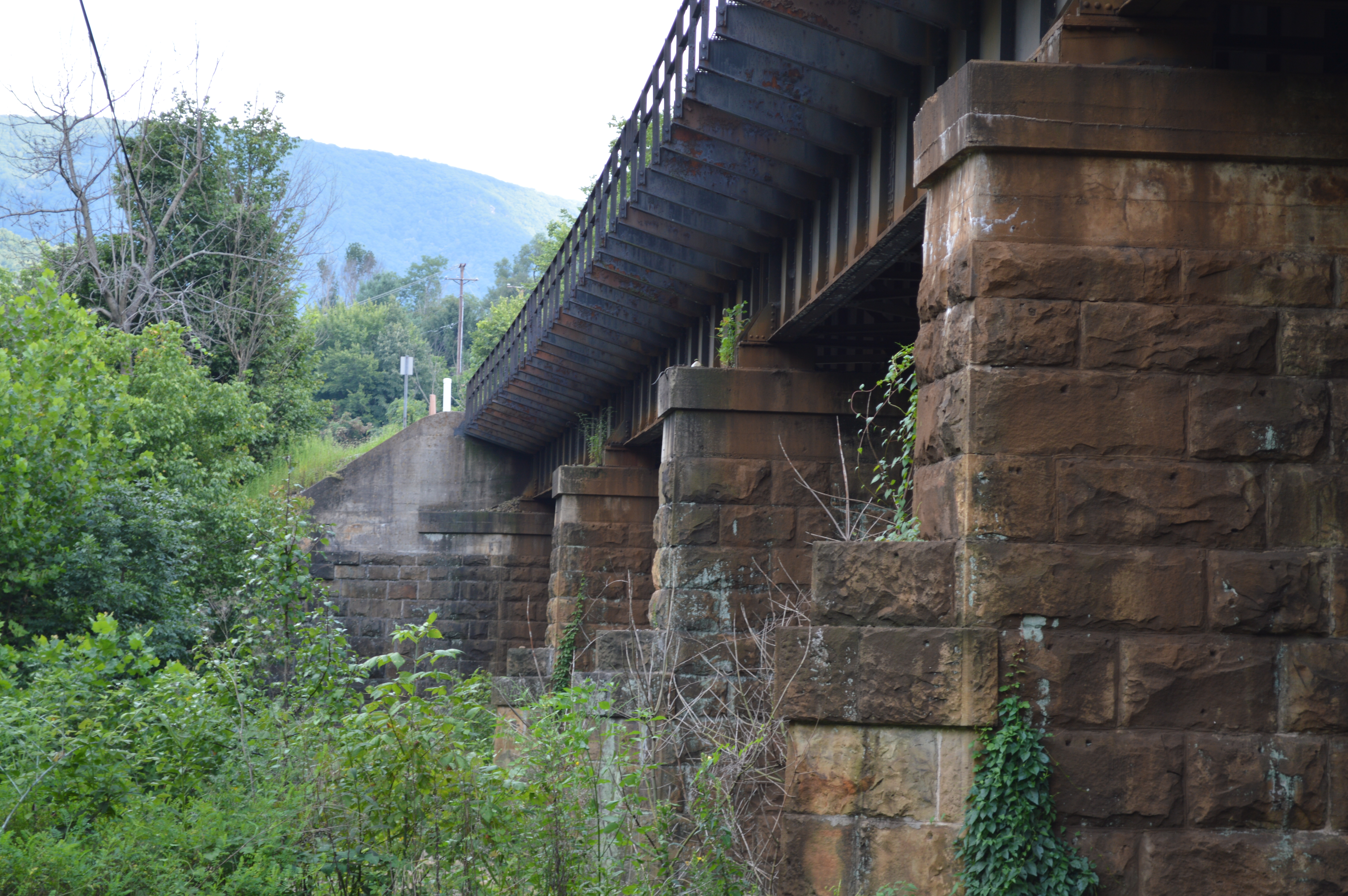
stone, green, and iron
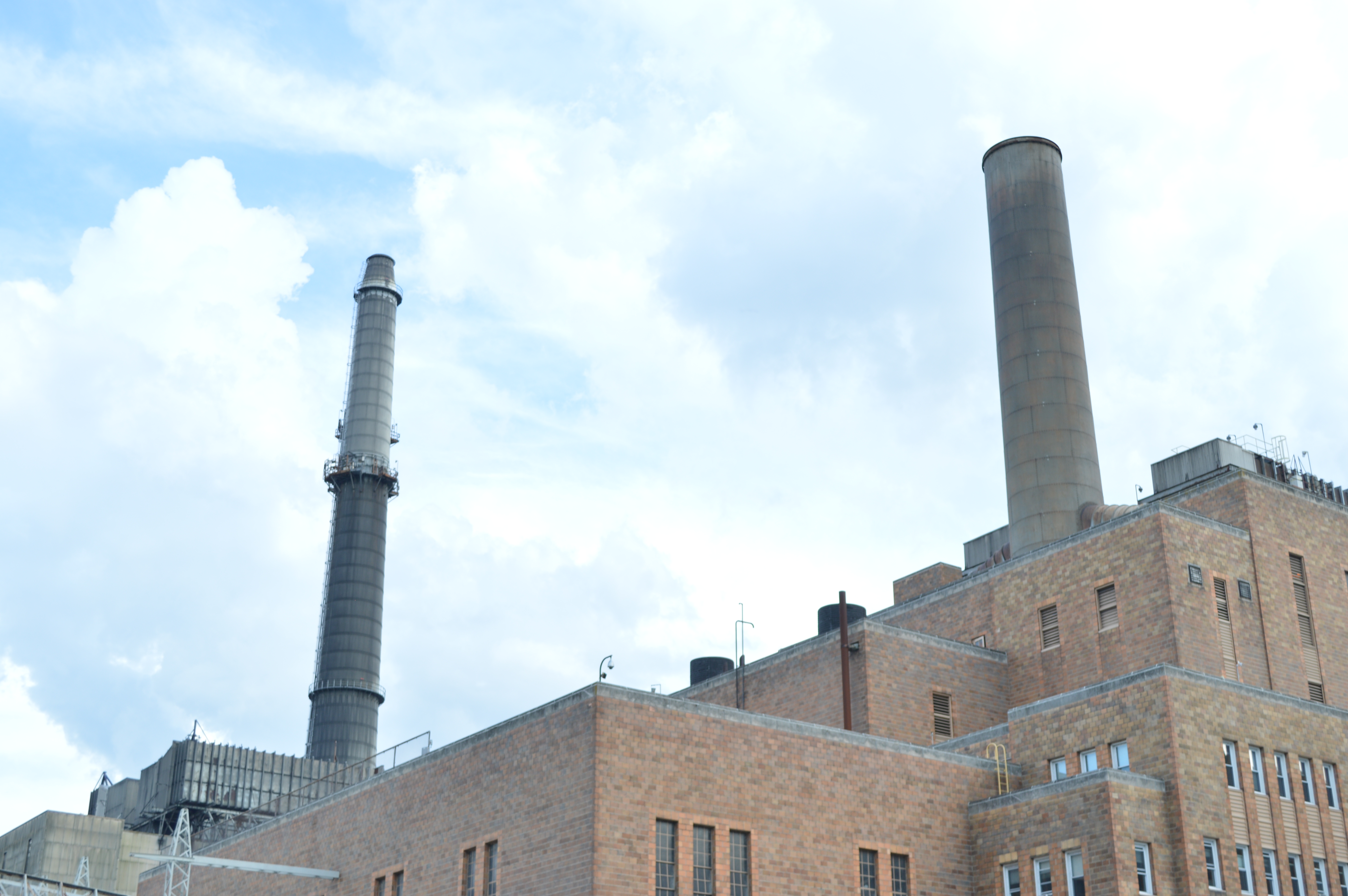
two stack
White Hall before demolition, Concord College (now Concord University), Athens, WV, 2000
Sunrise in Pearisburg
Spring morning over the New River Valley
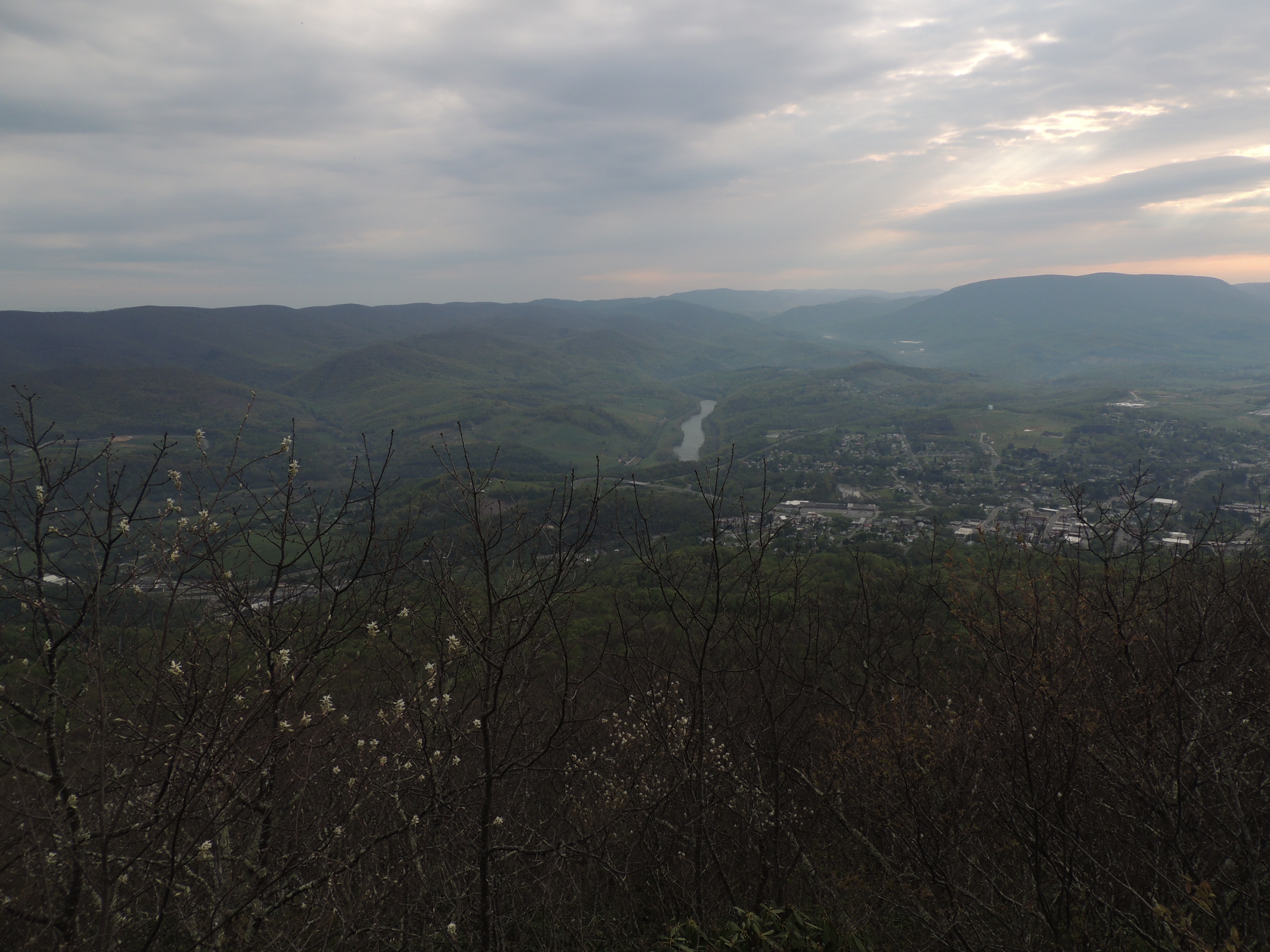
In Pearisburg above Giles High looking torward Pembroke
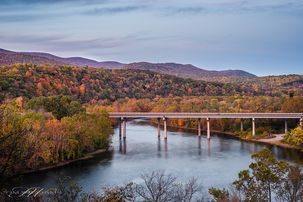
Fall morning on the New River

By the light of the Harvest Moon
JFRM-2017-05-7882-Pano.jpg

Foggy sunrise

Sunrise in Pearisburg

JFRM-2017-05-7822-Pano.jpg
New River

Super Moon Landscapes 1

Super Moon Landscapes 3

Narrows, Virginia

JFRM-2017-05-7843.jpg

Fog = nature's #tiltshift

Square Farm House_BW
2013.11.08.30 West Virginia
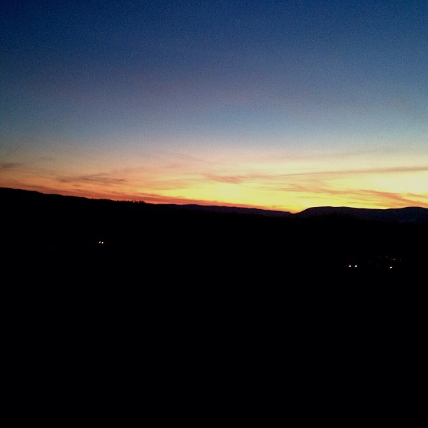
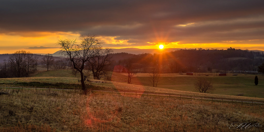
western Virginia sunset!
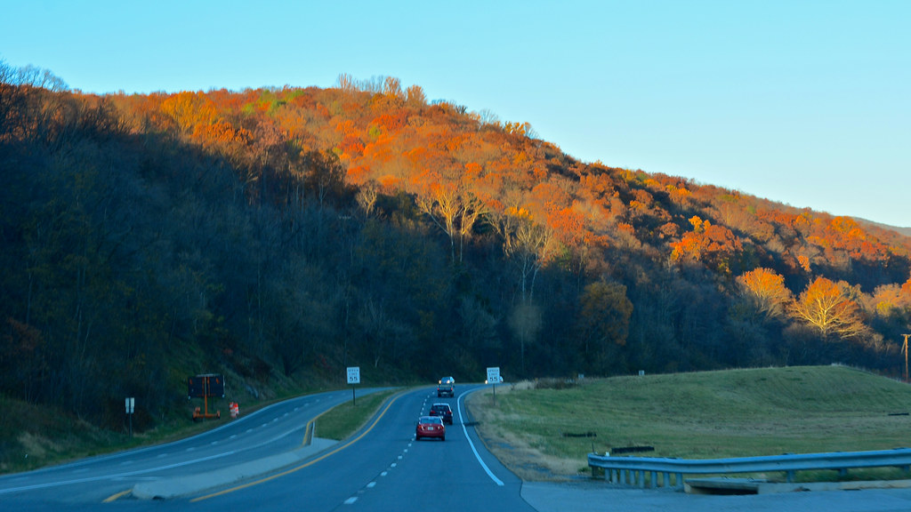
Country road
Small town, WV
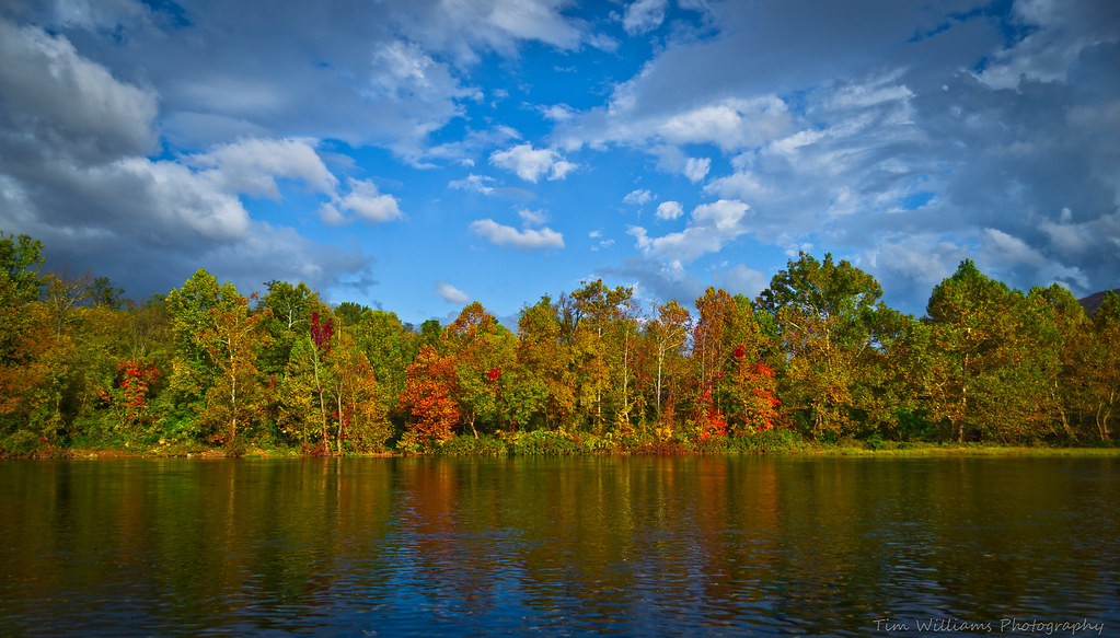
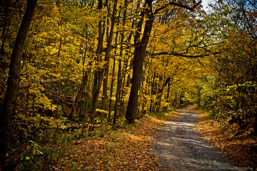
Fall at the New River
Topographic Map of Lawrence Rd, Rich Creek, VA, USA
Find elevation by address:

Places near Lawrence Rd, Rich Creek, VA, USA:
222 Church St
Rich Creek
602 Woodland Rd
Virginia Avenue
Lurich Rd, Narrows, VA, USA
Peterstown
122 Spring Hollow Rd
199 Rich Creek Valley Rd
494 Summit Dr
253 Robertson Mountain Rd
2283 Ballard-red Sulphur Pkwy
18 Mt View Subdivision Rd
418 Old Virginia Ave
Narrows
420 Springwood Dr
1046 Wolf Creek Hwy
Sentinel Drive
Western
387 Blankenship Mountain Rd
Western
Recent Searches:
- Elevation of Corso Fratelli Cairoli, 35, Macerata MC, Italy
- Elevation of Tallevast Rd, Sarasota, FL, USA
- Elevation of 4th St E, Sonoma, CA, USA
- Elevation of Black Hollow Rd, Pennsdale, PA, USA
- Elevation of Oakland Ave, Williamsport, PA, USA
- Elevation of Pedrógão Grande, Portugal
- Elevation of Klee Dr, Martinsburg, WV, USA
- Elevation of Via Roma, Pieranica CR, Italy
- Elevation of Tavkvetili Mountain, Georgia
- Elevation of Hartfords Bluff Cir, Mt Pleasant, SC, USA