Elevation of Summertown, GA, USA
Location: United States > Georgia > Emanuel County >
Longitude: -82.276235
Latitude: 32.7459918
Elevation: 76m / 249feet
Barometric Pressure: 100KPa
Elevation Map:
Satellite Map:
Related Photos:
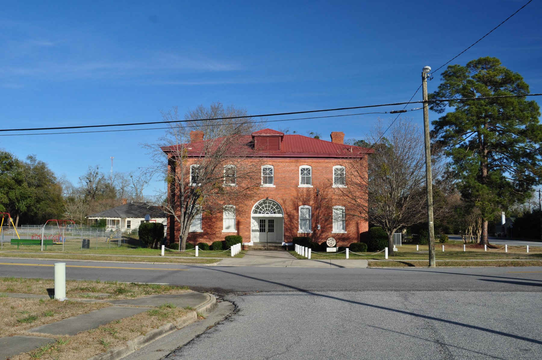
Jefferson County Georgia

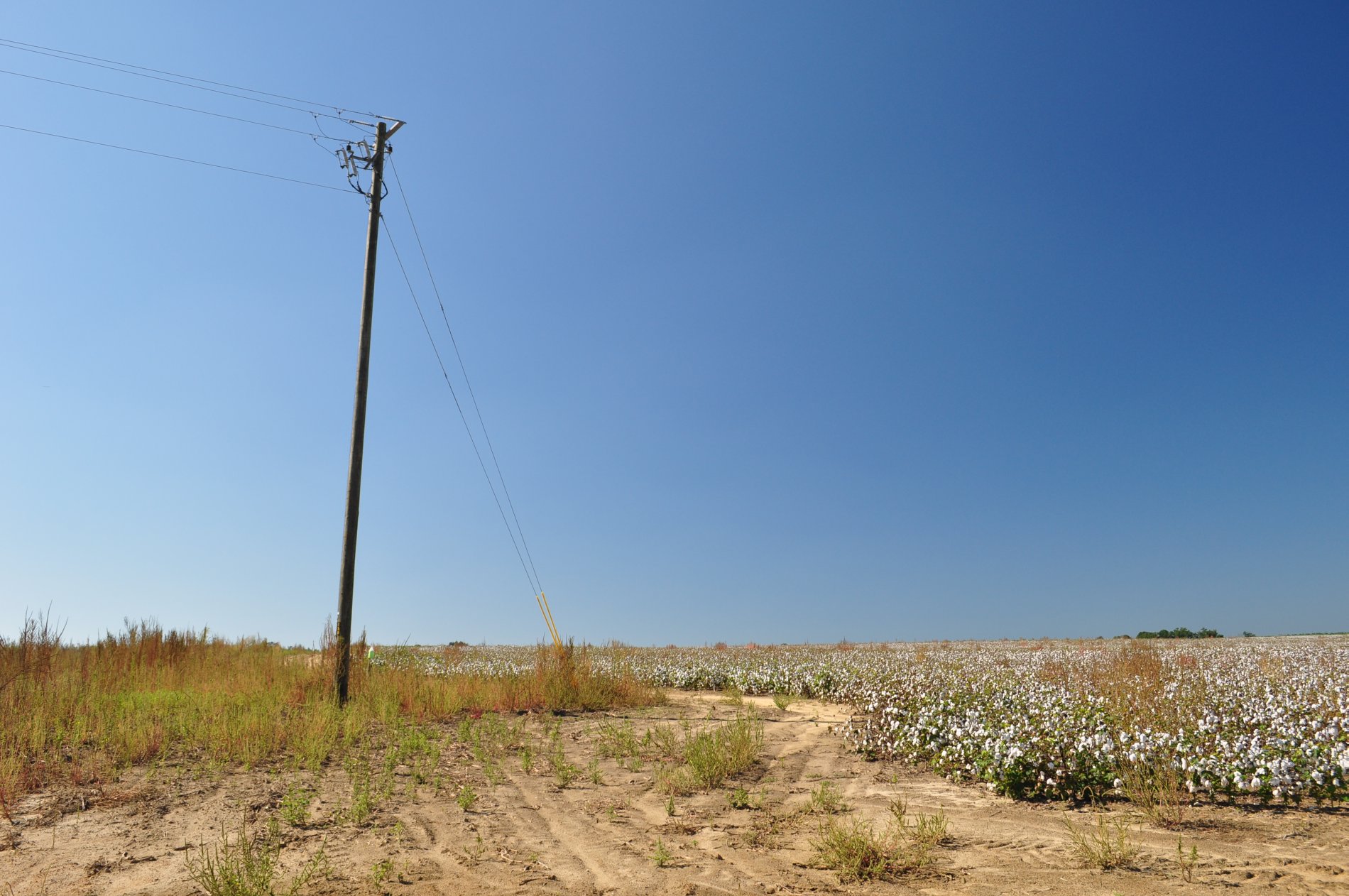
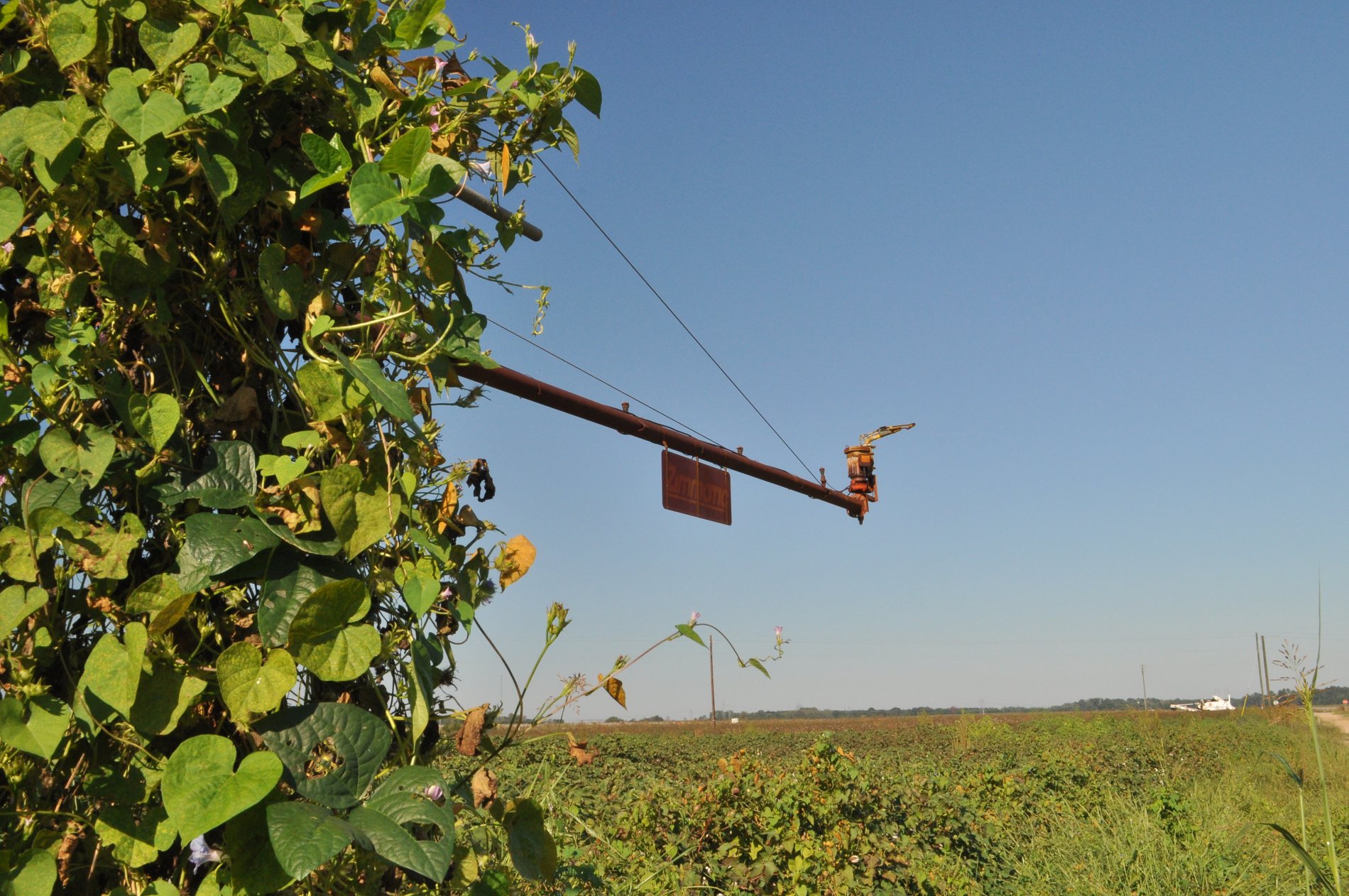
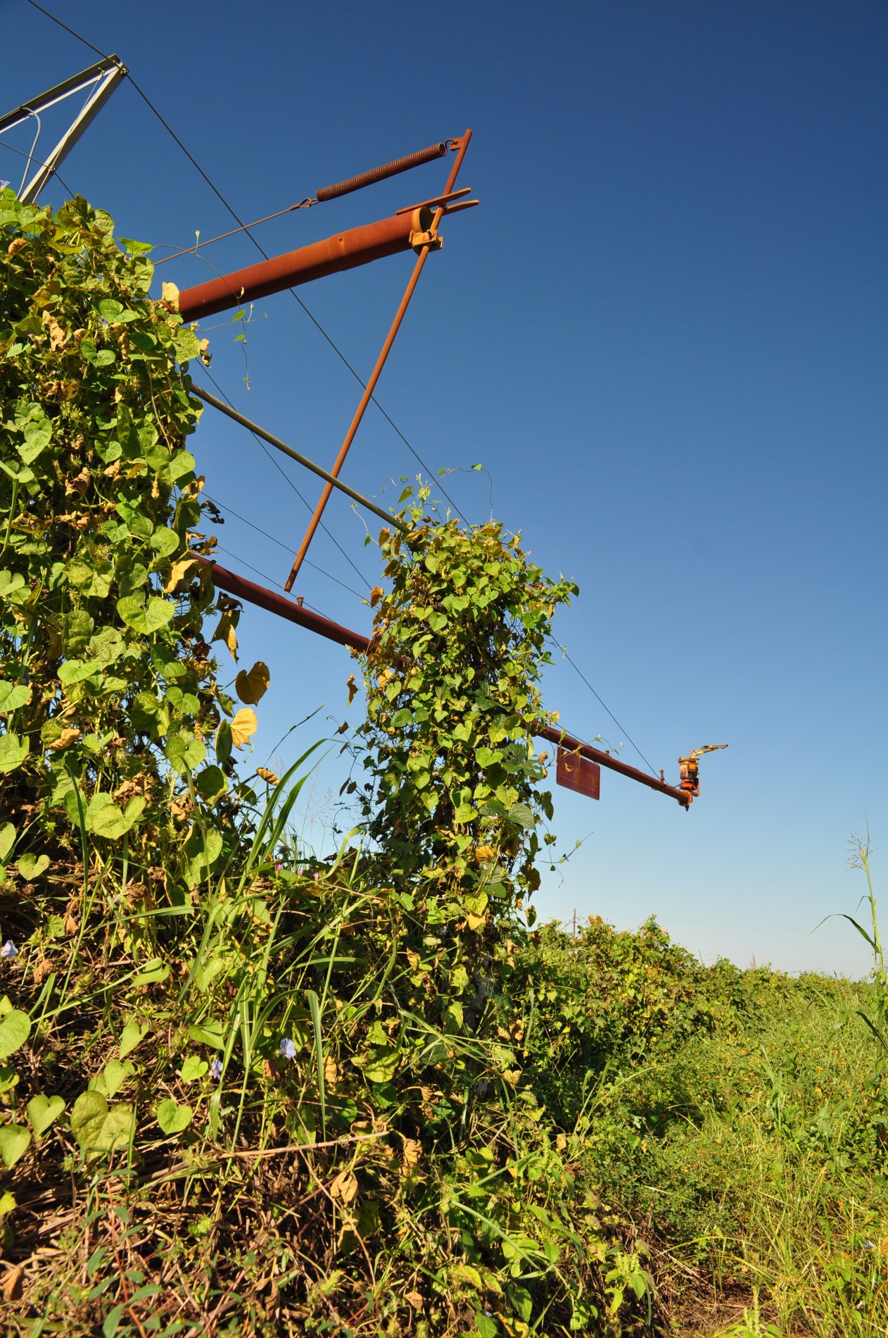
Pivot-Head Irrigation, Cotton Field- Jefferson County GeorgiaDSC_8936

Jeremy Harkins
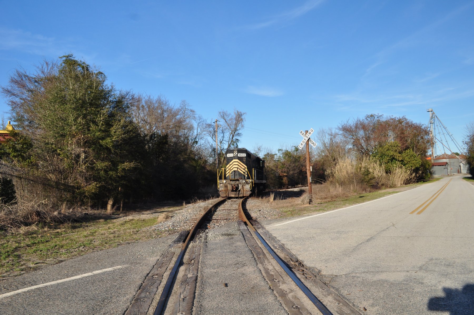
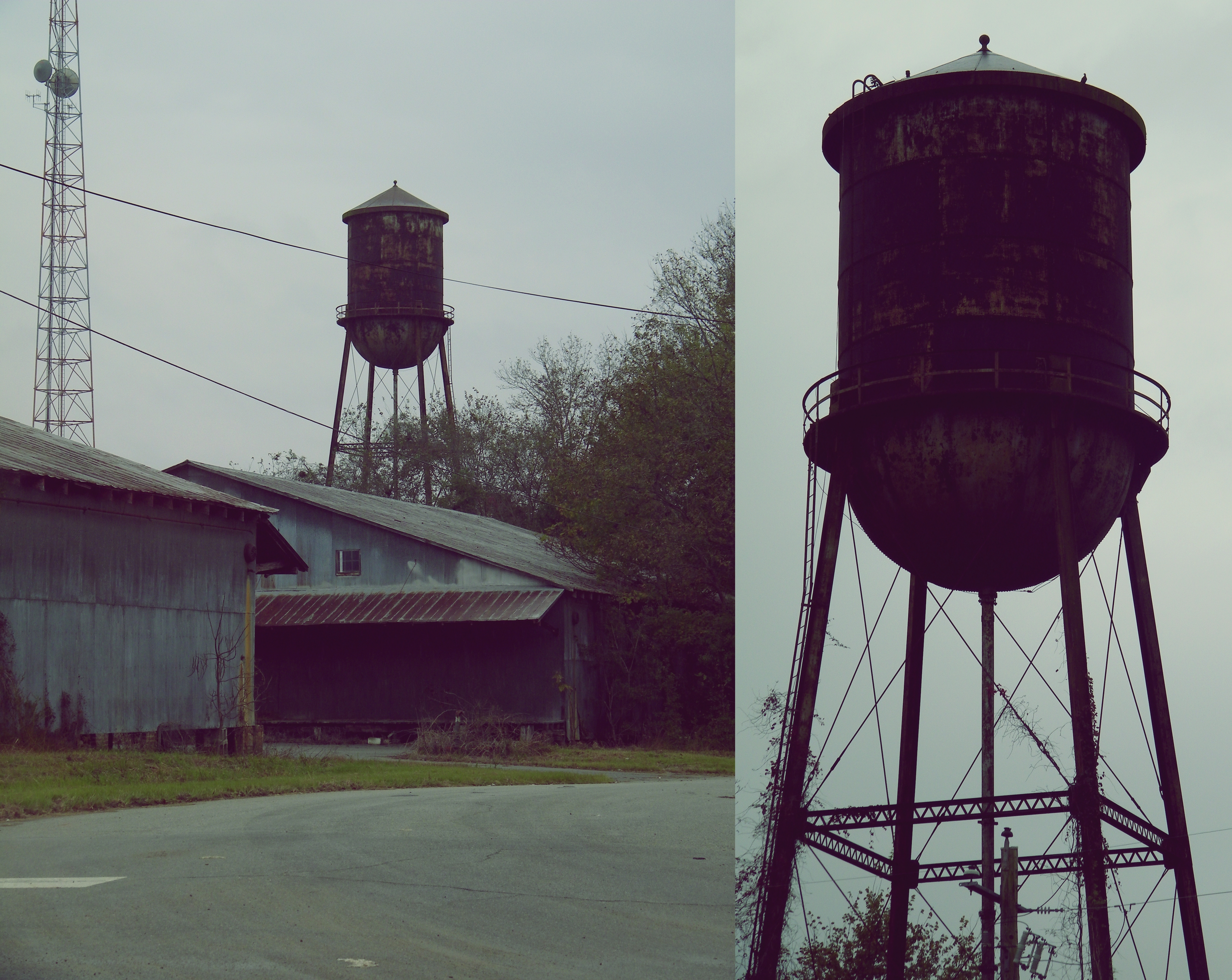
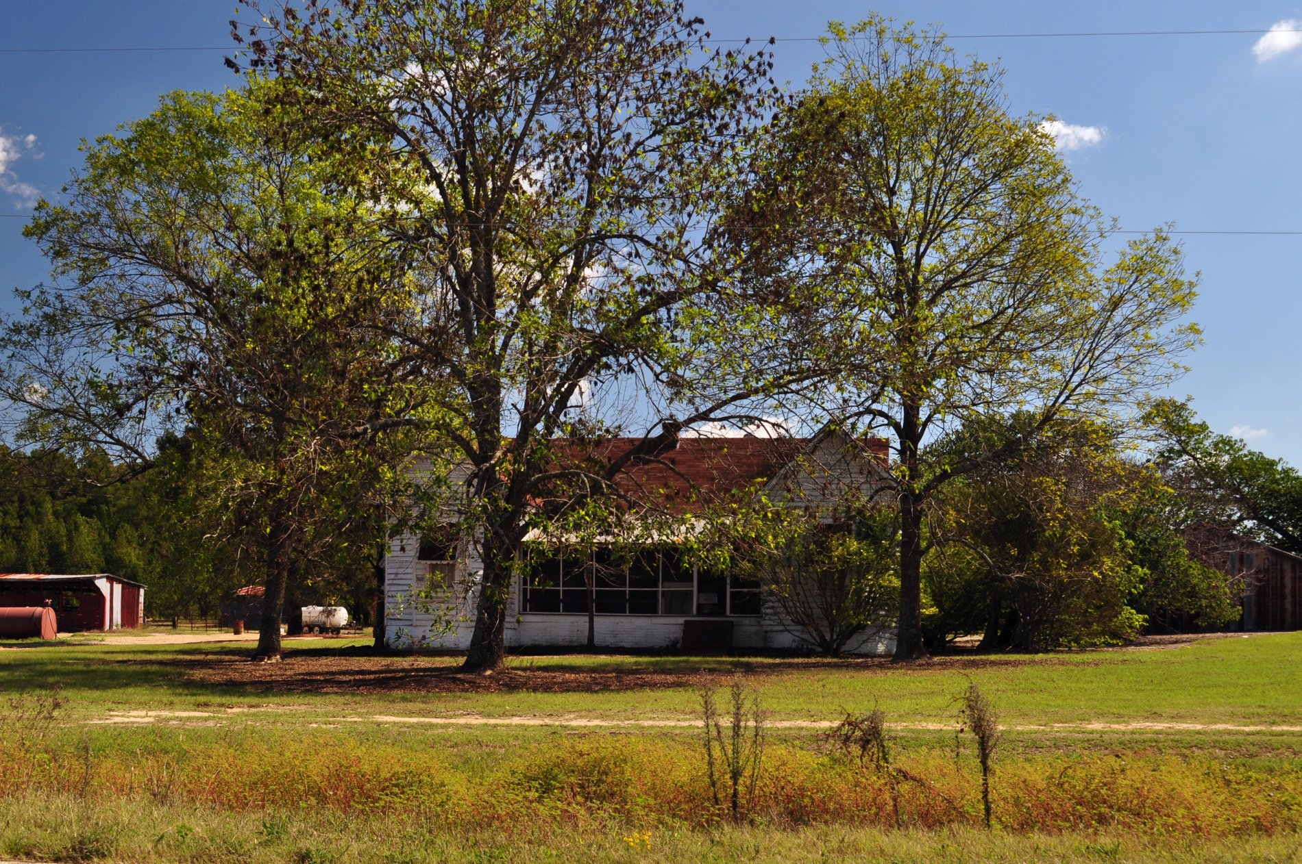
Midville, Ga
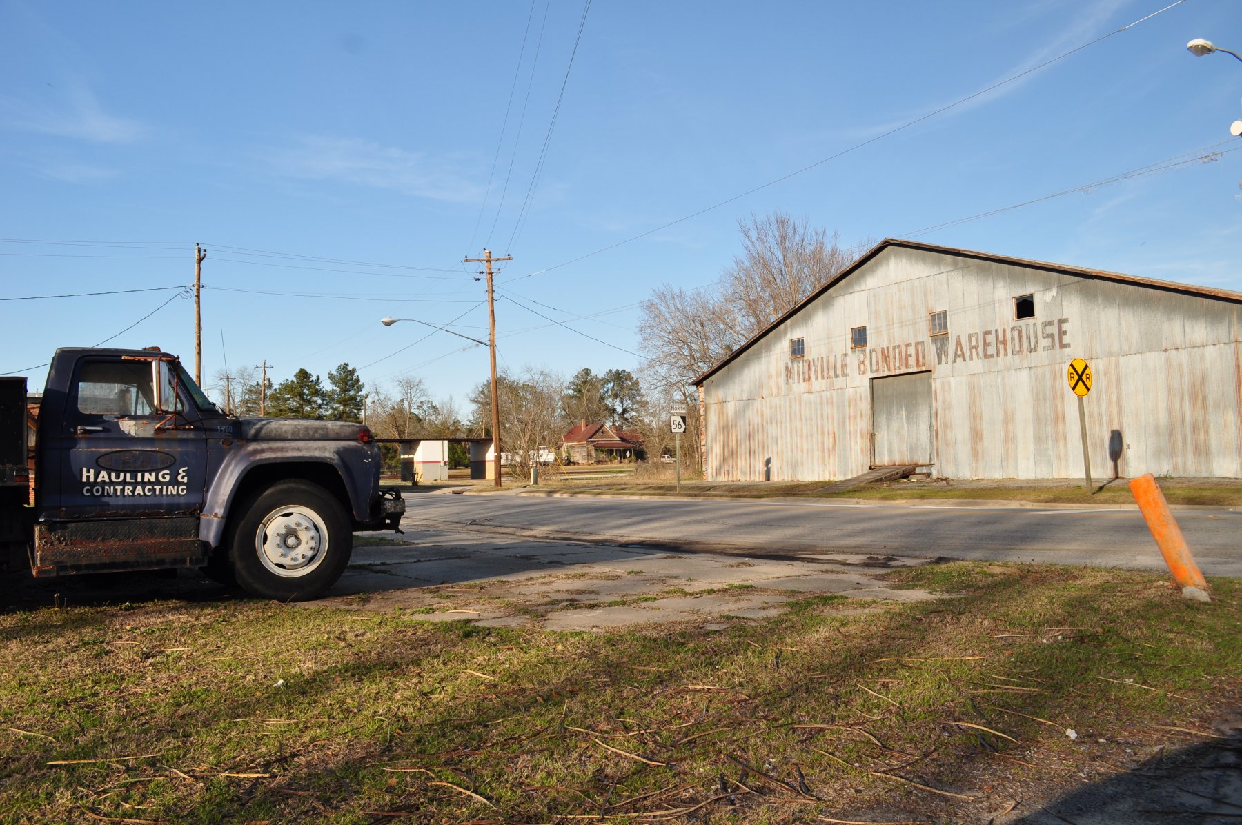
Midville, Ga
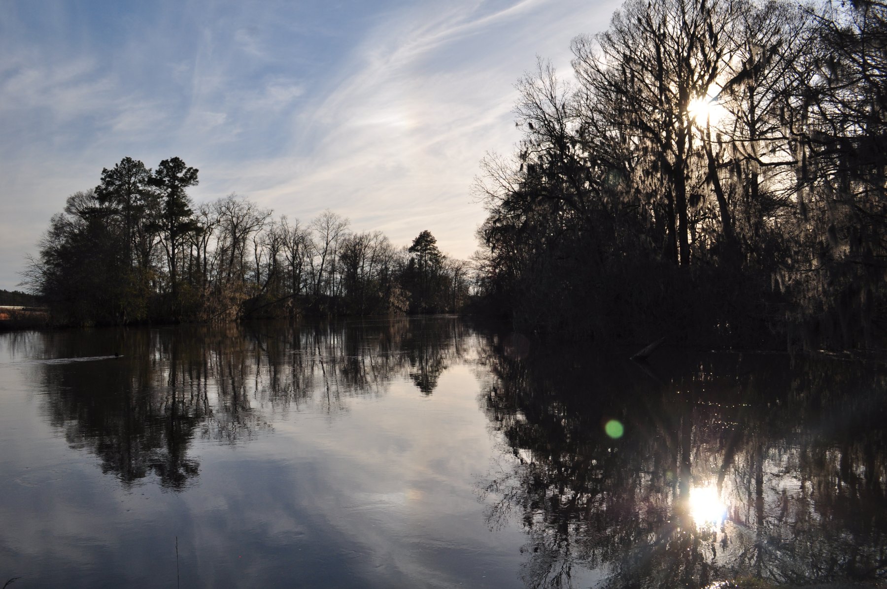
Ogeechee River at Midville
Midville, Ga

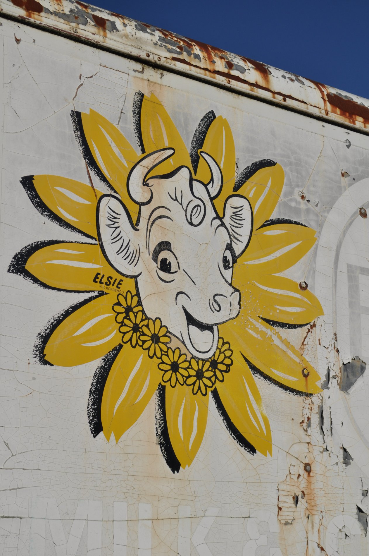
Lil Church
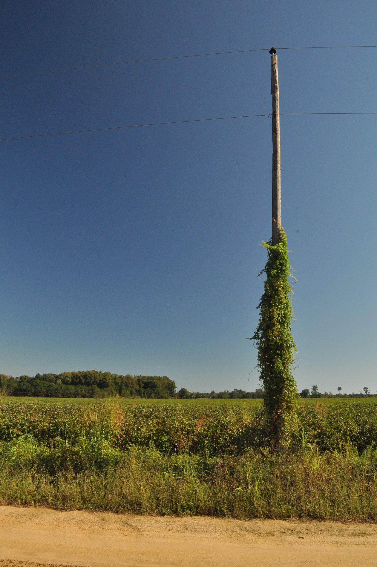
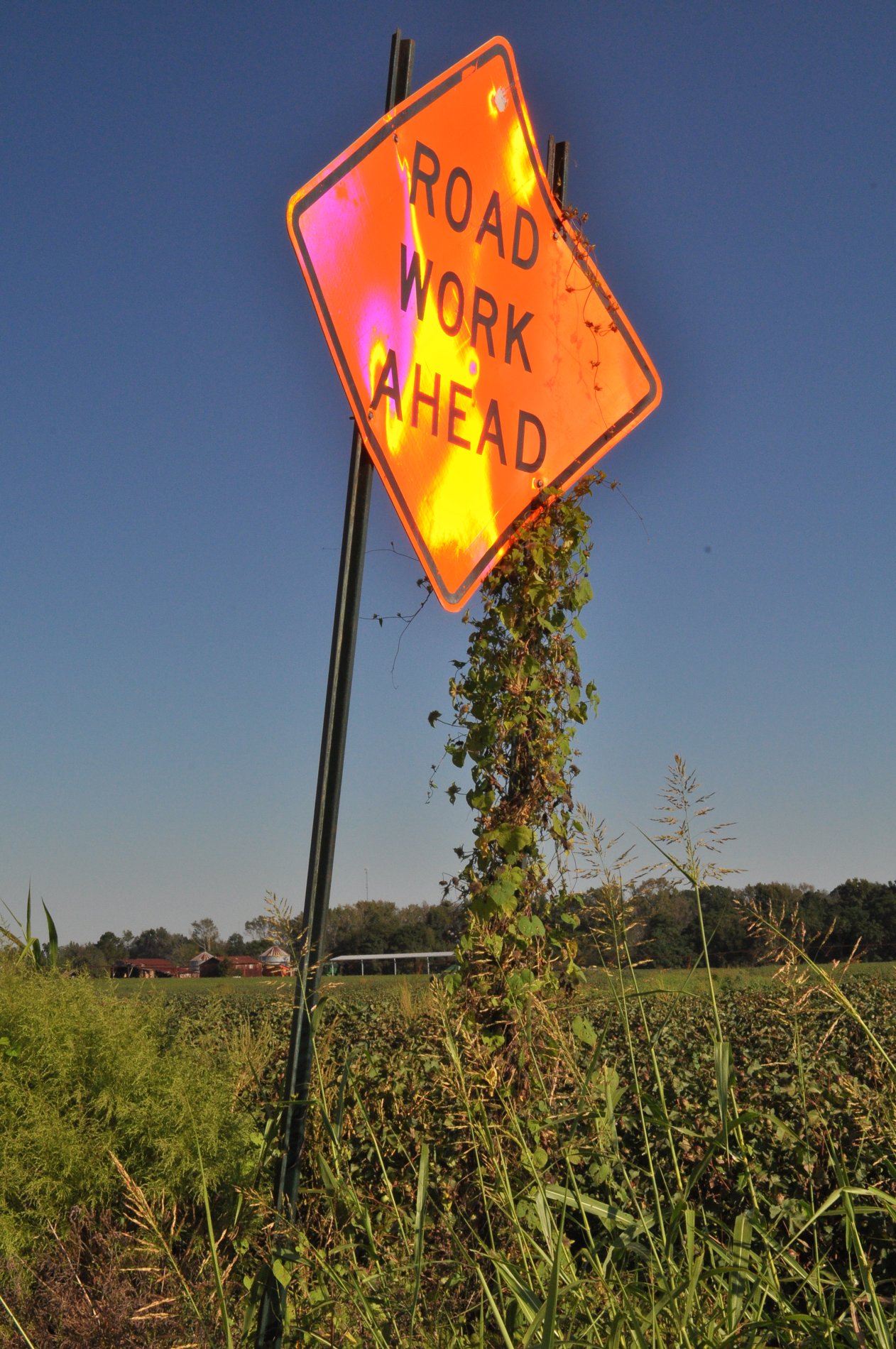
Cotton Field, Jefferson County Georgia
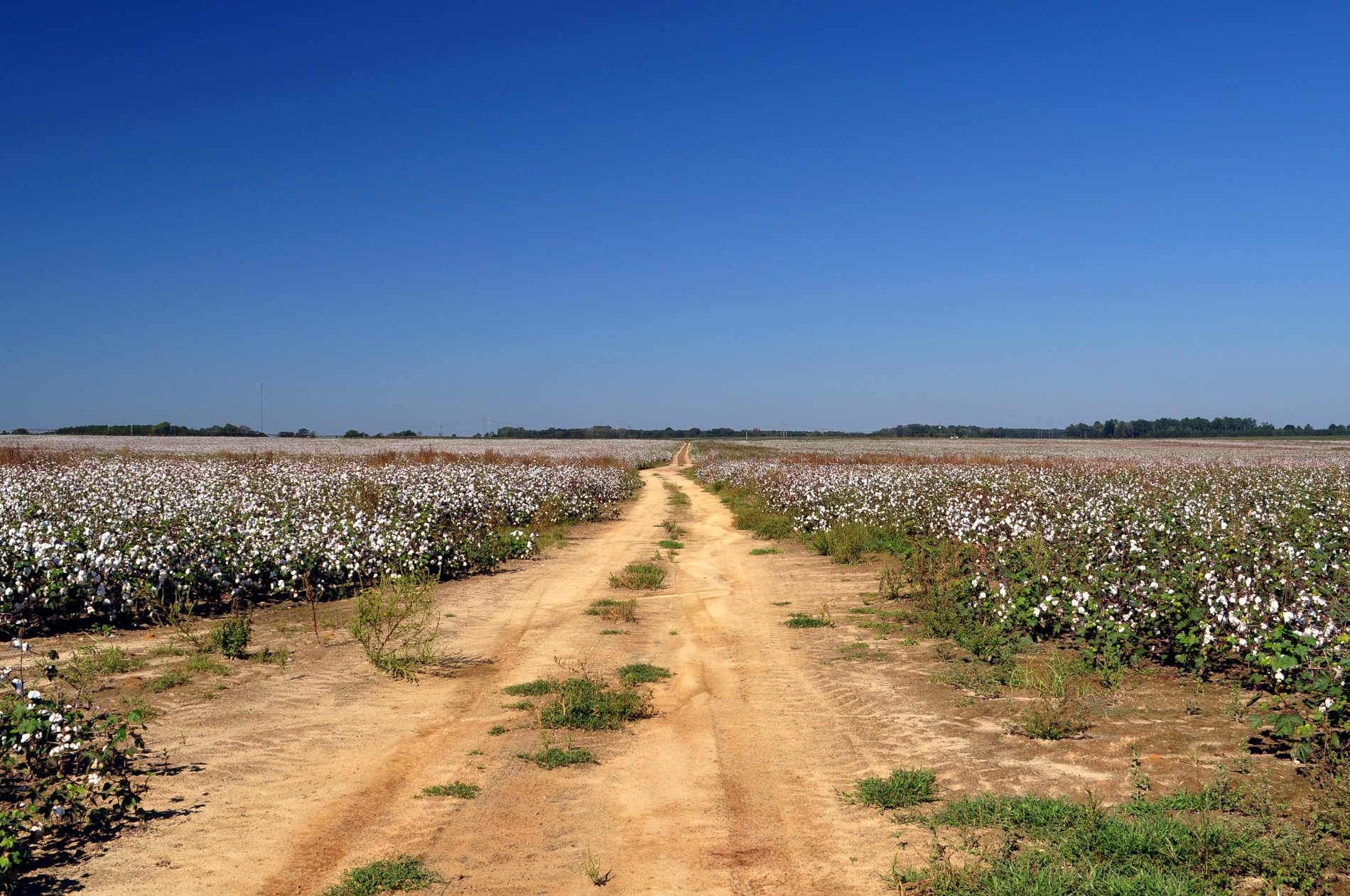
Cotton Field, Jefferson County Georgia
Jefferson County Georgia
Jefferson County Georgia

Jefferson County Georgia
Jefferson County Georgia
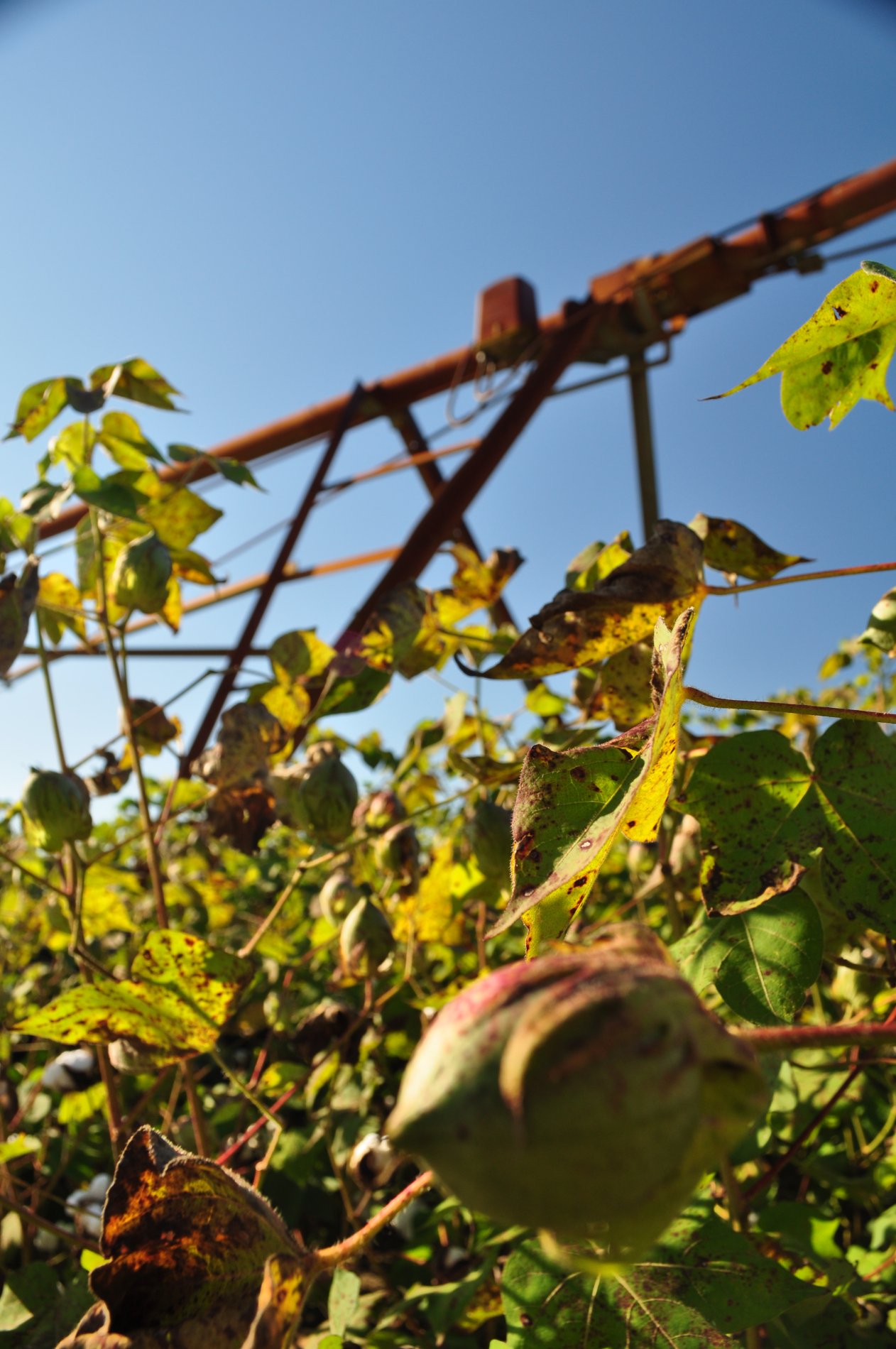
Pivot-Head Irrigation, Cotton Field- Jefferson County Georgia
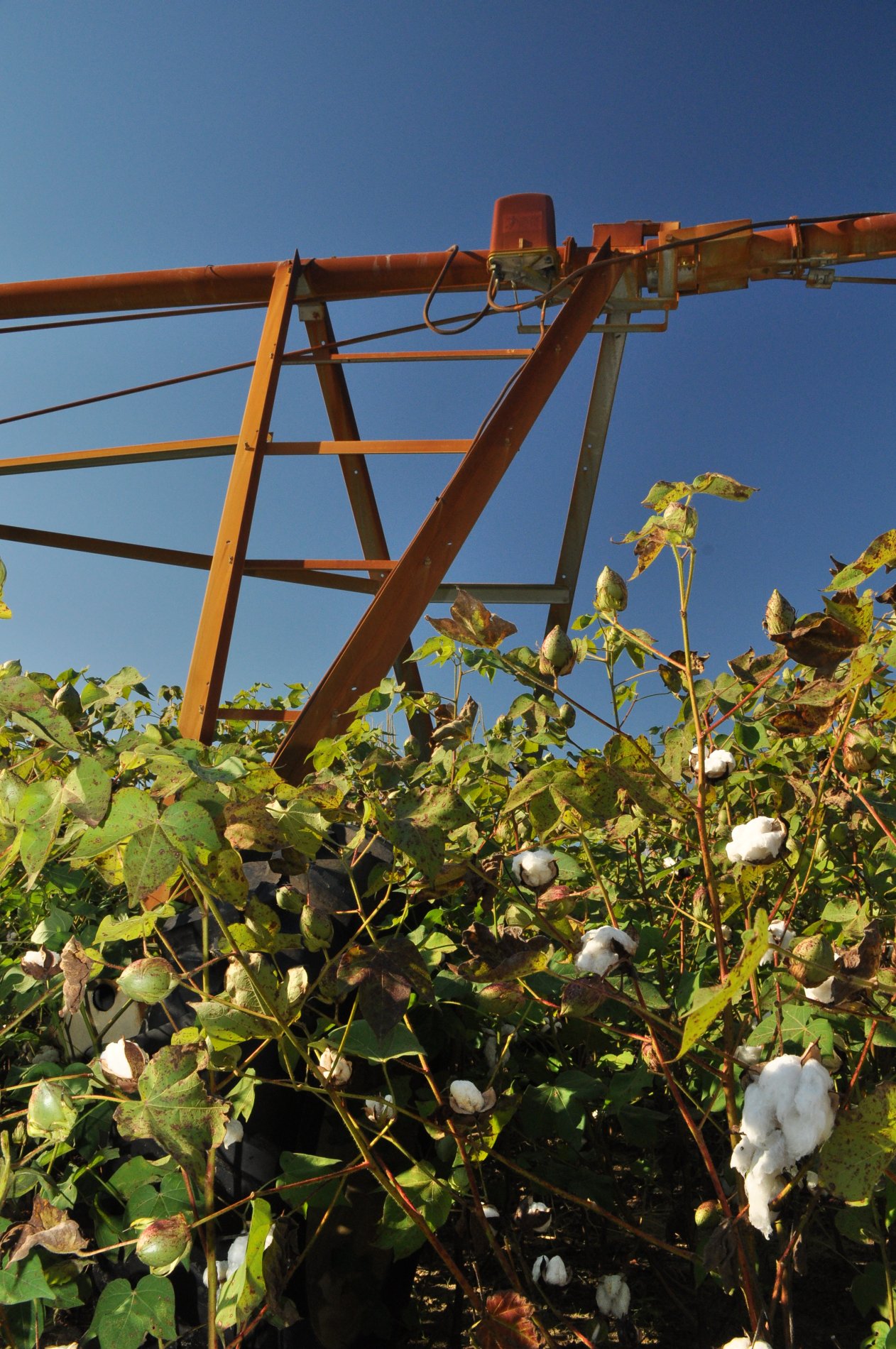
Pivot-Head Irrigation, Cotton Field- Jefferson County Georgia
Pivot-Head Irrigation, Cotton Field- Jefferson County Georgia
Jefferson County Georgia
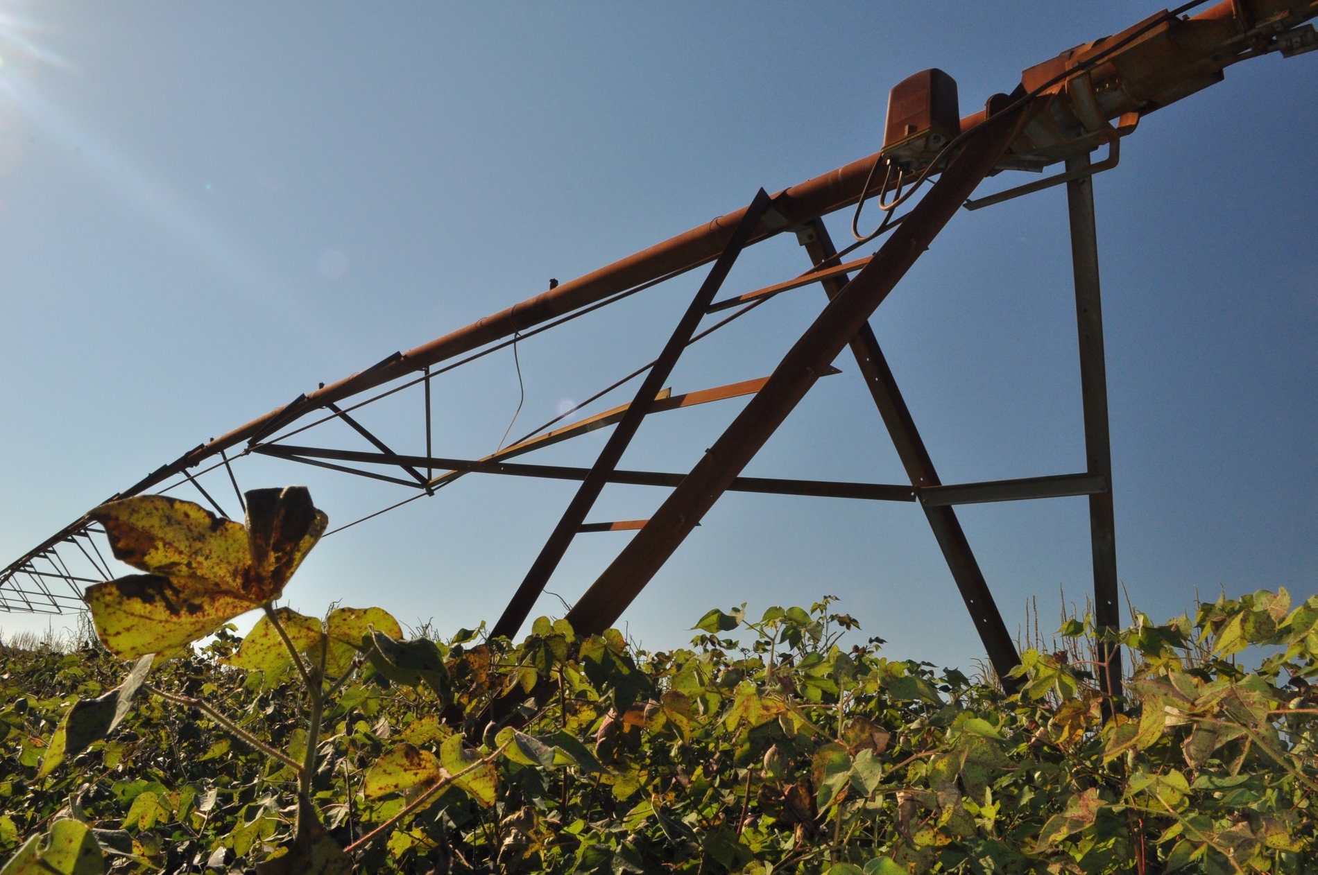
Pivot-Head Irrigation, Cotton Field- Jefferson County Georgia
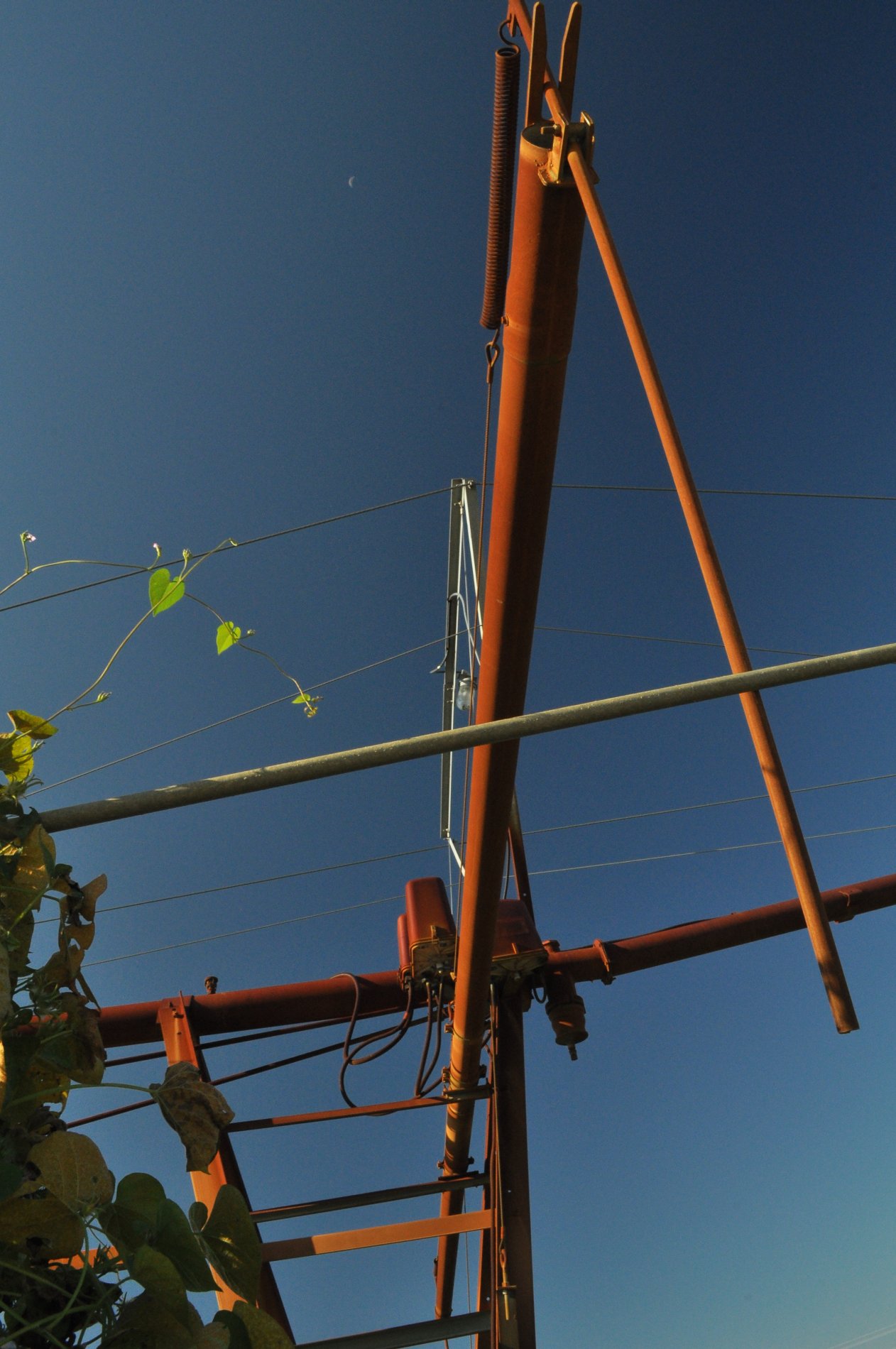
Pivot-Head Irrigation, Cotton Field- Jefferson County Georgia
Pivot-Head Irrigation, Cotton Field- Jefferson County Georgia
Topographic Map of Summertown, GA, USA
Find elevation by address:

Places in Summertown, GA, USA:
Places near Summertown, GA, USA:
72 Summertown Main St, Summertown, GA, USA
Covena Rd, Midville, GA, USA
Ga-192 & Lawrence Sherrod Rd
Ga-192 & Lawrence Sherrod Rd
Ga-192 & Lawrence Sherrod Rd
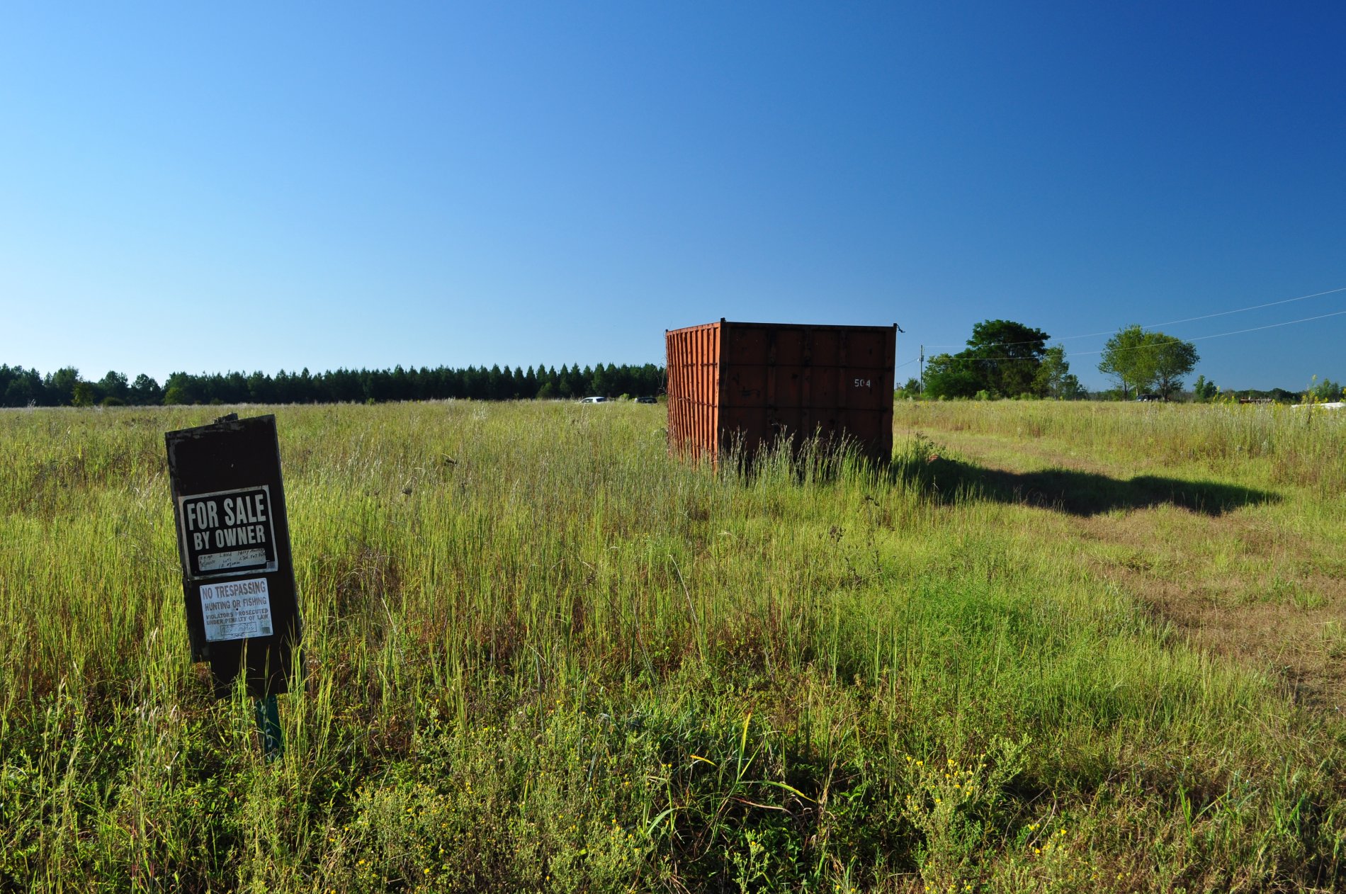
Midville
318 Ga-17
374 Country Rd 66
Canoochee Garfield Rd, Twin City, GA, USA
Canoochee
Fellowship St, Swainsboro, GA, USA
156 Modoc Rd
Swainsboro
S Herndon Rd, Millen, GA, USA
426 W Church St
Emanuel County
Wadley
GA-, Midville, GA, USA
GA-56, Midville, GA, USA
S Main St, Swainsboro, GA, USA
Recent Searches:
- Elevation of Corso Fratelli Cairoli, 35, Macerata MC, Italy
- Elevation of Tallevast Rd, Sarasota, FL, USA
- Elevation of 4th St E, Sonoma, CA, USA
- Elevation of Black Hollow Rd, Pennsdale, PA, USA
- Elevation of Oakland Ave, Williamsport, PA, USA
- Elevation of Pedrógão Grande, Portugal
- Elevation of Klee Dr, Martinsburg, WV, USA
- Elevation of Via Roma, Pieranica CR, Italy
- Elevation of Tavkvetili Mountain, Georgia
- Elevation of Hartfords Bluff Cir, Mt Pleasant, SC, USA