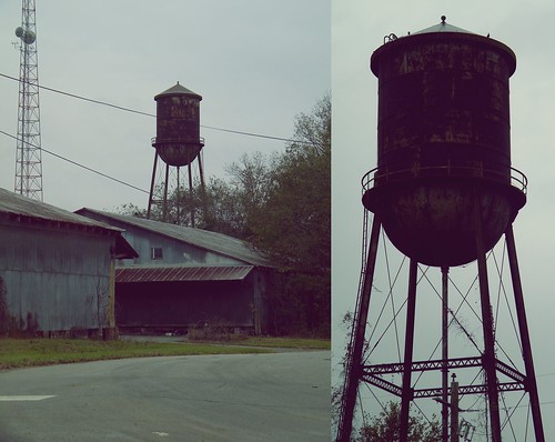
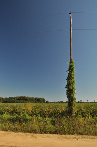
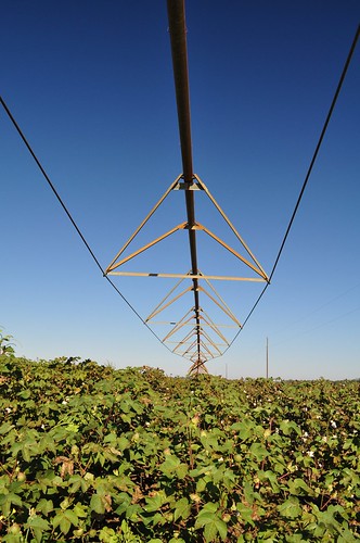
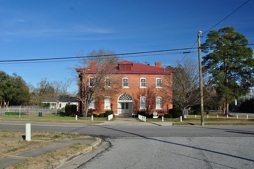
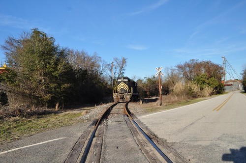
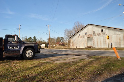
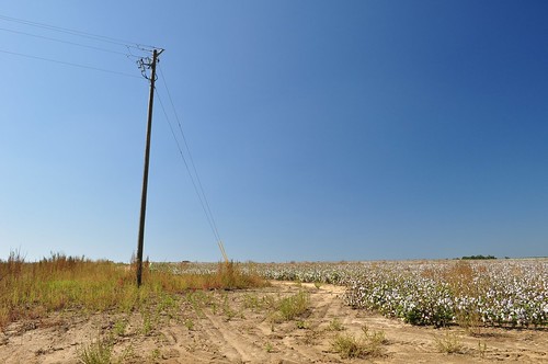
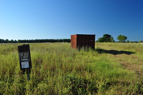
Elevation of Covena Rd, Midville, GA, USA
Location: United States > Georgia > Emanuel County > Midville >
Longitude: -82.245079
Latitude: 32.7848471
Elevation: 63m / 207feet
Barometric Pressure: 101KPa
Related Photos:
Topographic Map of Covena Rd, Midville, GA, USA
Find elevation by address:

Places near Covena Rd, Midville, GA, USA:
Midville
318 Ga-17
72 Summertown Main St, Summertown, GA, USA
Summertown
Ga-192 & Lawrence Sherrod Rd
Ga-192 & Lawrence Sherrod Rd
Ga-192 & Lawrence Sherrod Rd
S Herndon Rd, Millen, GA, USA
Canoochee Garfield Rd, Twin City, GA, USA
Canoochee
GA-56, Midville, GA, USA
GA-, Midville, GA, USA
374 Country Rd 66
Wadley
4864 Lane Rd
Fellowship St, Swainsboro, GA, USA
GA-, Louisville, GA, USA
Garfield
156 Modoc Rd
Swainsboro
Recent Searches:
- Elevation of Corso Fratelli Cairoli, 35, Macerata MC, Italy
- Elevation of Tallevast Rd, Sarasota, FL, USA
- Elevation of 4th St E, Sonoma, CA, USA
- Elevation of Black Hollow Rd, Pennsdale, PA, USA
- Elevation of Oakland Ave, Williamsport, PA, USA
- Elevation of Pedrógão Grande, Portugal
- Elevation of Klee Dr, Martinsburg, WV, USA
- Elevation of Via Roma, Pieranica CR, Italy
- Elevation of Tavkvetili Mountain, Georgia
- Elevation of Hartfords Bluff Cir, Mt Pleasant, SC, USA
