Elevation of Sugarloaf, Access Rd, Carrabassett Valley, ME, USA
Location: United States > Maine > Franklin County > Carrabassett Valley >
Longitude: -70.308506
Latitude: 45.0541812
Elevation: 533m / 1749feet
Barometric Pressure: 95KPa
Elevation Map:
Satellite Map:
Related Photos:

Maine 27 to Bigelow Col
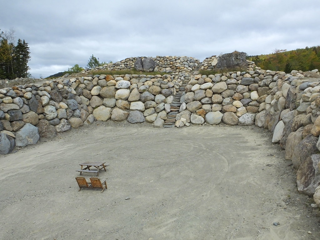
Ira Mountain Coliseum
Maine 27 to Bigelow Col

Flagstaff Lake and West Peak

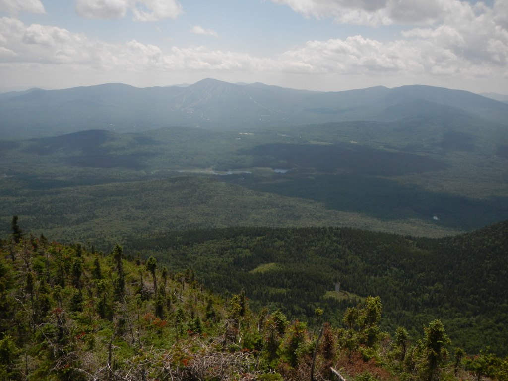
View From Ira Mountain 2
View From Ira Mountain 1

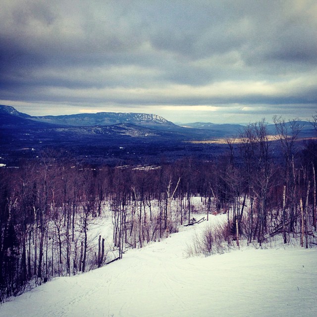
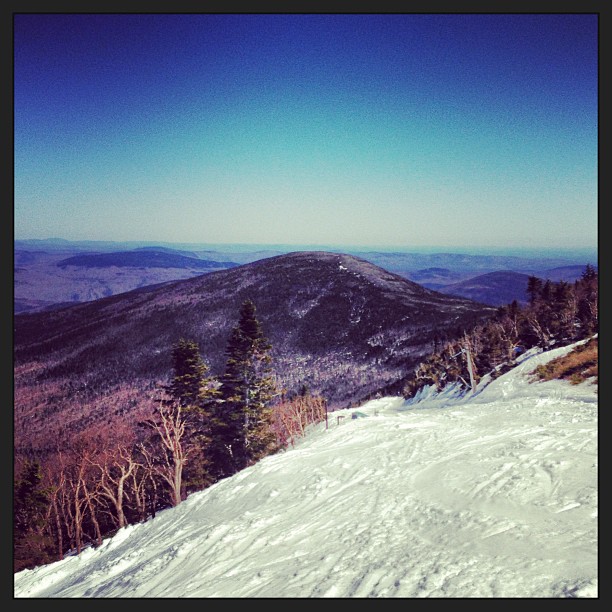
Today's view, from Spillway X-cut / Gondola Line
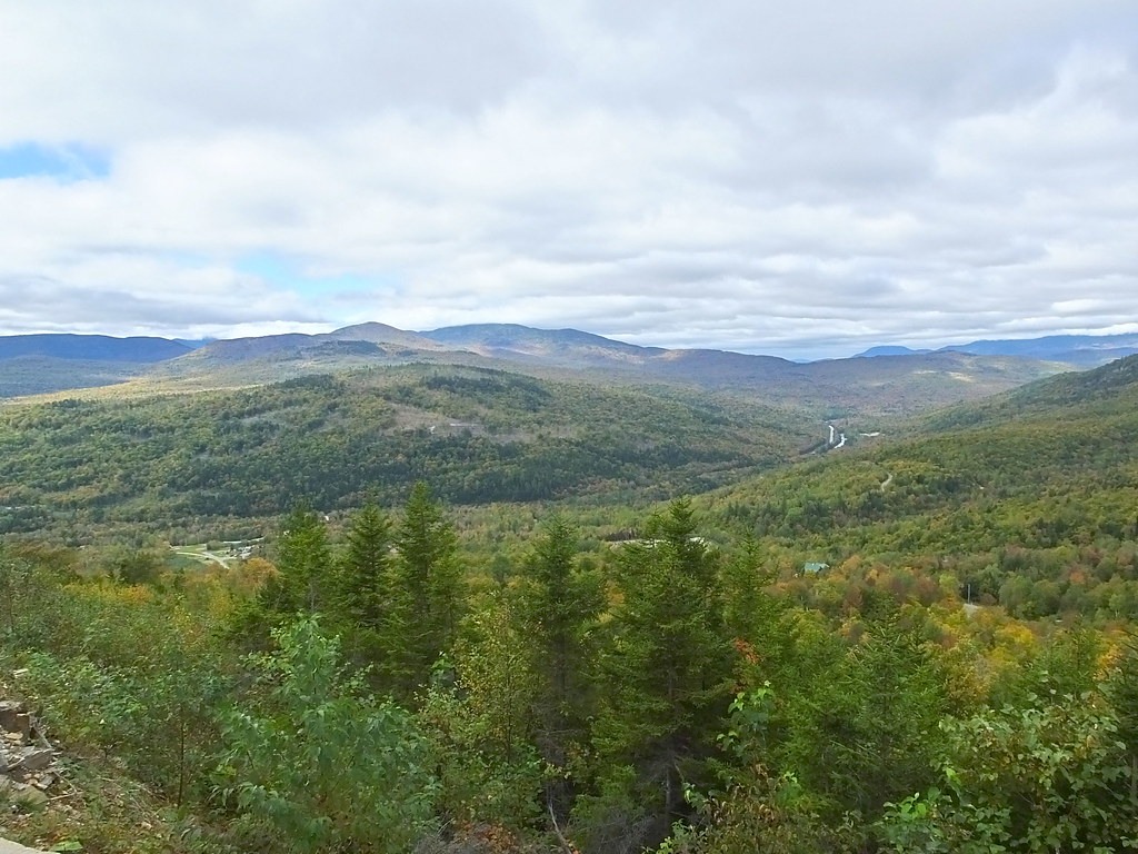
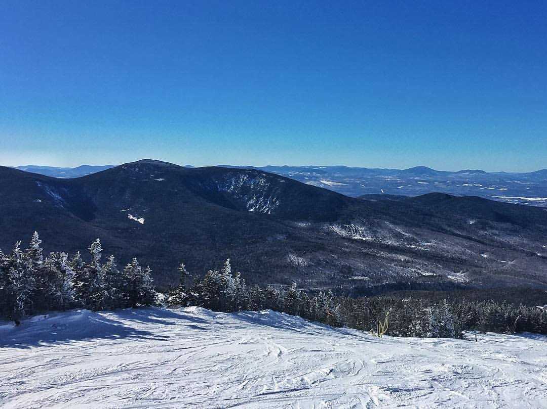
View from West Mountain

View from the tower on top of Sugarloaf

Sugarloaf view from the Stratton Brook Hut - Maine Huts and Trails

View from the top of Whiffletree

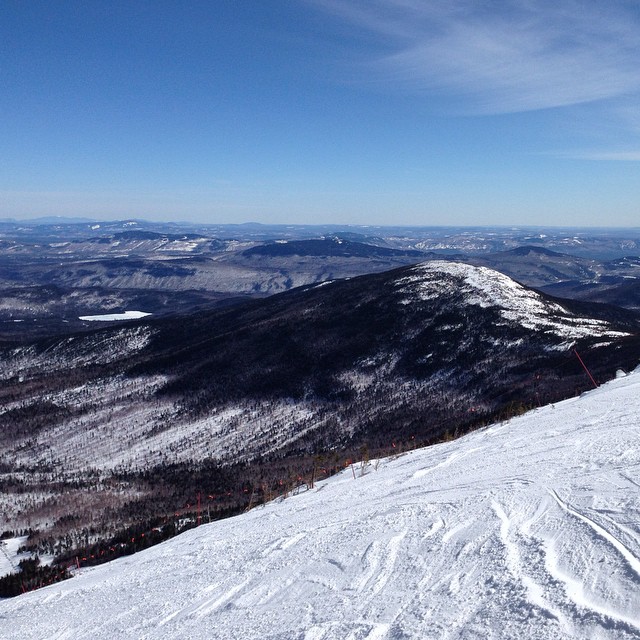
The view down Ripsaw
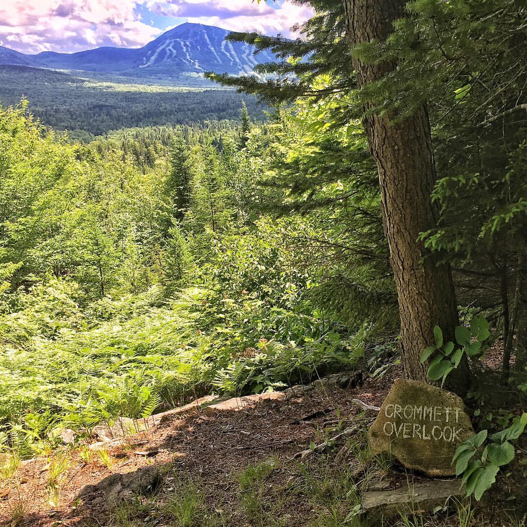
Crommett Overlook view of Sugarloaf
20160918 051
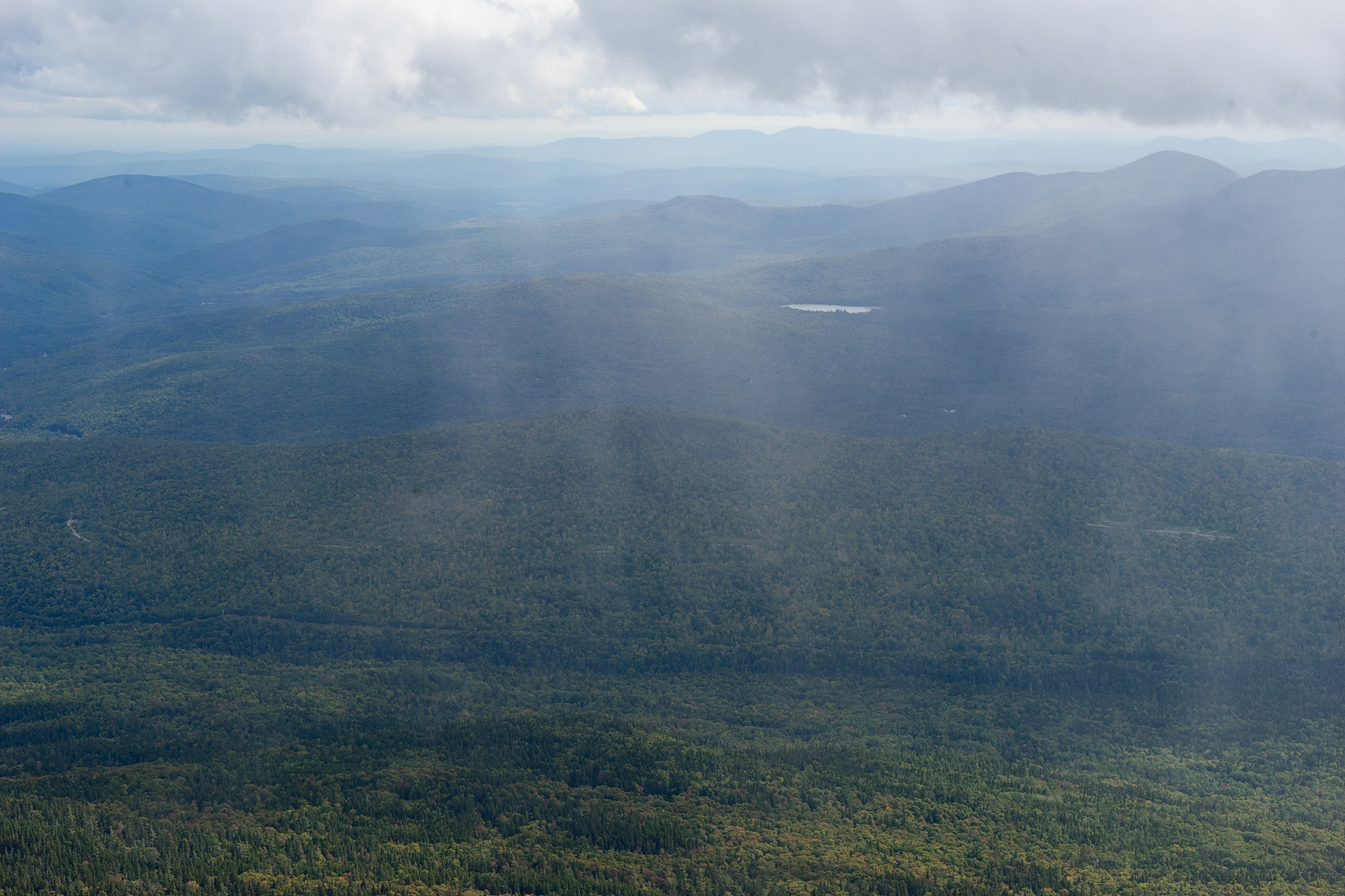
View from the top
View from the top of White Nitro extension
Yesterday's view from Sluice Headwall, view 2

Ross's view of Reggaefest yesterday
OMG. Main Hits and trails up Stratton Brook trail to the Stratton Brook Hut. The trail is incredible, the hut simply unreal. If you live in New England, you have to visit these huts. Top notch and the views are amazing!

Yesterday's view from the top

Today's view toward Burnt Mountain
Birthday Trip to Sugarloaf

Photo Sep 28, 3 21 20 PM

Photo Oct 15, 1 48 51 PM (1)
Photo Mar 31, 2 20 15 PM

Carrabassett River
Carrabassett River, Kingfield 8
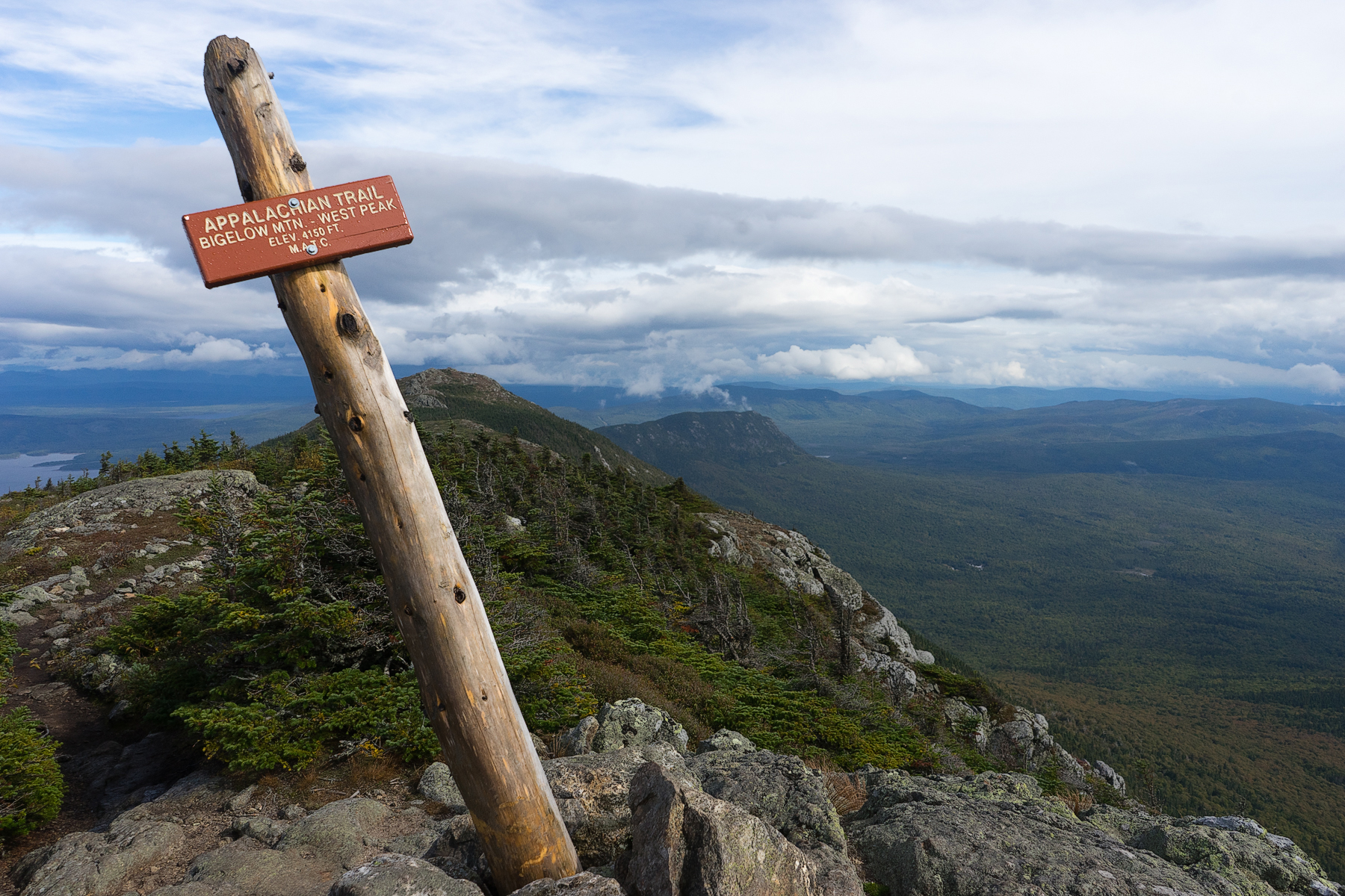
Hiking Myron Avery Peak on the Appalachian Trail

Snow is on the way...?
Photo Dec 16, 12 27 42 PM (1)

Photo Dec 16, 12 18 12 PM
Photo Oct 15, 12 26 04 PM

Mornin'
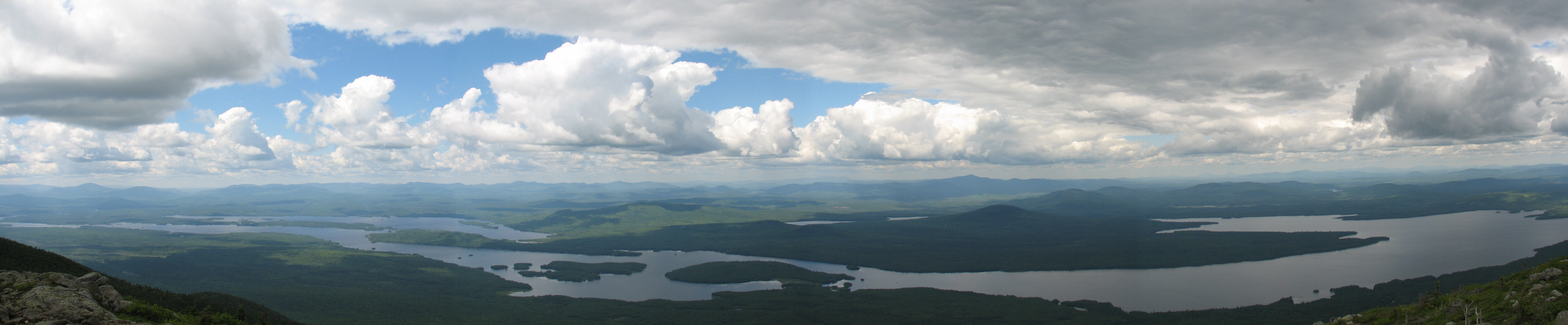
Flagstaff Lake
See forever day from crosscut trail
20160918 040
Cloudy morning

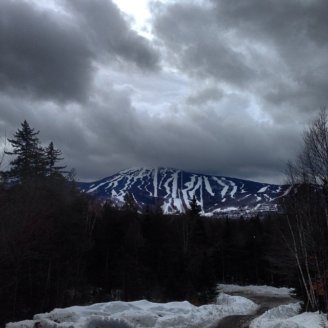
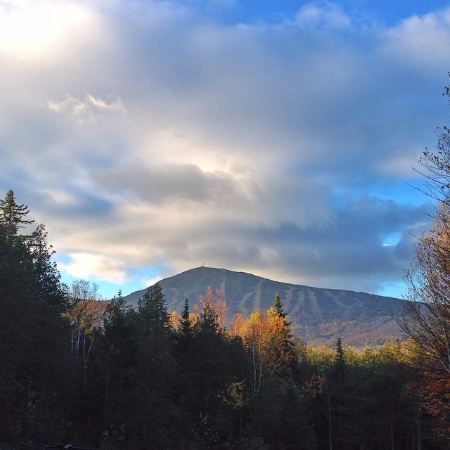
The Mountain
Good Beautiful Morning

Cloudy Morning

2013-10-08 at 18-54-42
Topographic Map of Sugarloaf, Access Rd, Carrabassett Valley, ME, USA
Find elevation by address:

Places near Sugarloaf, Access Rd, Carrabassett Valley, ME, USA:
Sugarloaf Mountain Hotel
Sugarloaf Mountain Resort
Sugarloaf Mountain
Carrabassett Valley
Mount Bigelow
1022 Spurline Rd
1020 Spurline Rd
1020 Spurline Rd
1020 Spurline Rd
1020 Spurline Rd
96 Iron Bridge Rd
Moscow
Bingham
Bingham
Main St, Bingham, ME, USA
241 Main St
Main Street
12 Mayfield Rd
21 Village St, Bingham, ME, USA
West Forks
Recent Searches:
- Elevation of Corso Fratelli Cairoli, 35, Macerata MC, Italy
- Elevation of Tallevast Rd, Sarasota, FL, USA
- Elevation of 4th St E, Sonoma, CA, USA
- Elevation of Black Hollow Rd, Pennsdale, PA, USA
- Elevation of Oakland Ave, Williamsport, PA, USA
- Elevation of Pedrógão Grande, Portugal
- Elevation of Klee Dr, Martinsburg, WV, USA
- Elevation of Via Roma, Pieranica CR, Italy
- Elevation of Tavkvetili Mountain, Georgia
- Elevation of Hartfords Bluff Cir, Mt Pleasant, SC, USA