Elevation of Sugar St, Chilhowie, VA, USA
Location: United States > Virginia > Smyth County > Chilhowie > Chilhowie >
Longitude: -81.588998
Latitude: 36.753366
Elevation: 740m / 2428feet
Barometric Pressure: 93KPa
Elevation Map:
Satellite Map:
Related Photos:
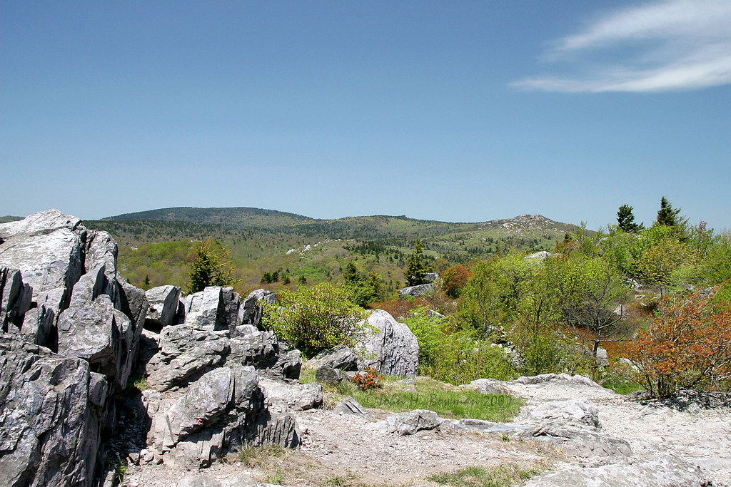
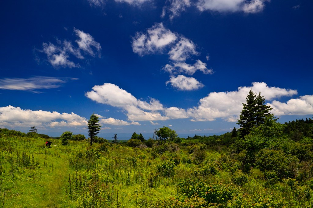
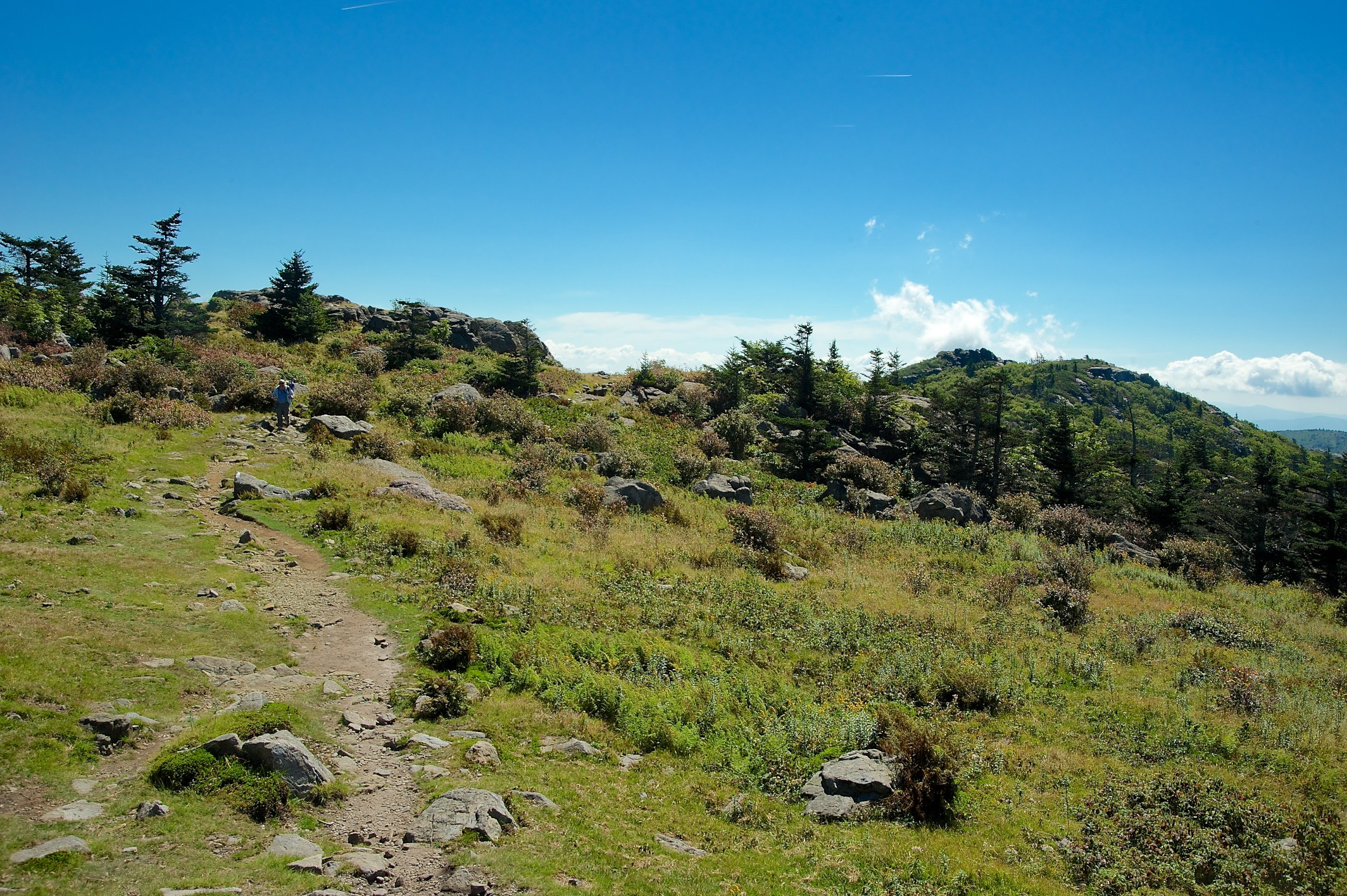
Grayson Highlands

Wilburn Ridge Trail
Morning on Wilburn Ridge

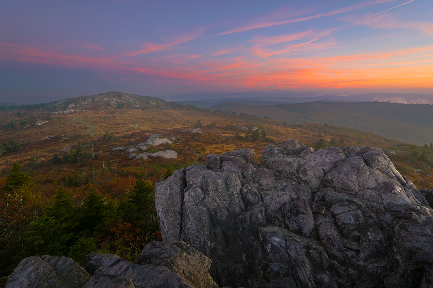
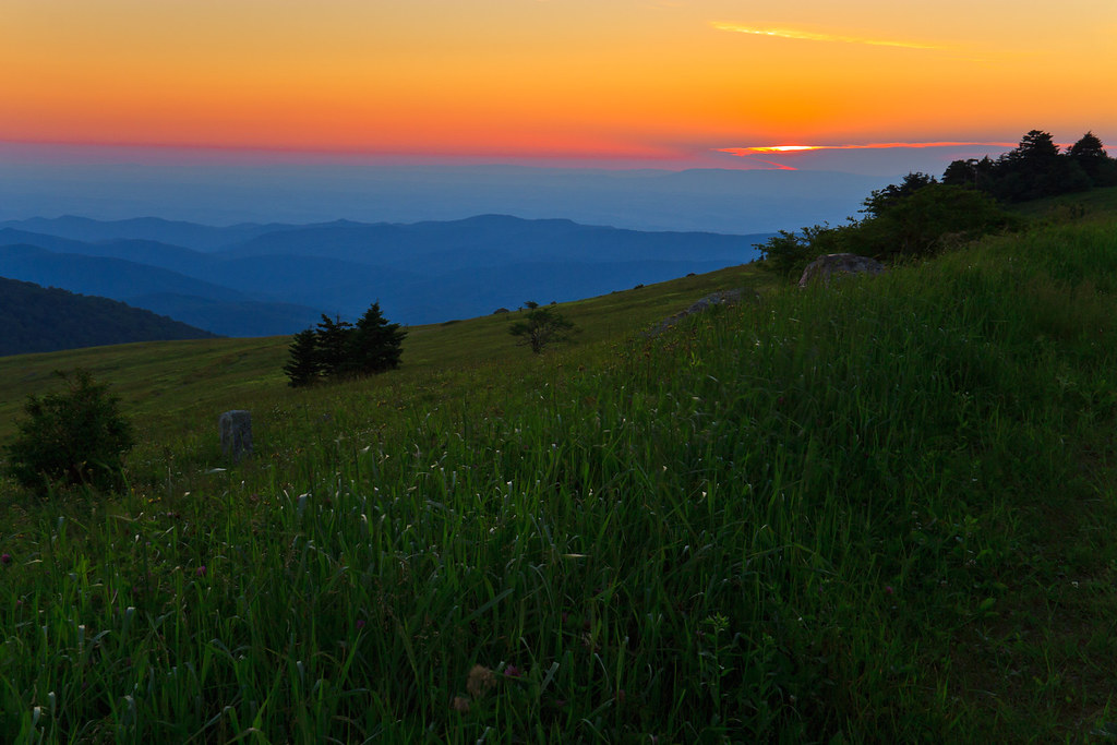
Grayson Highlands Sunset

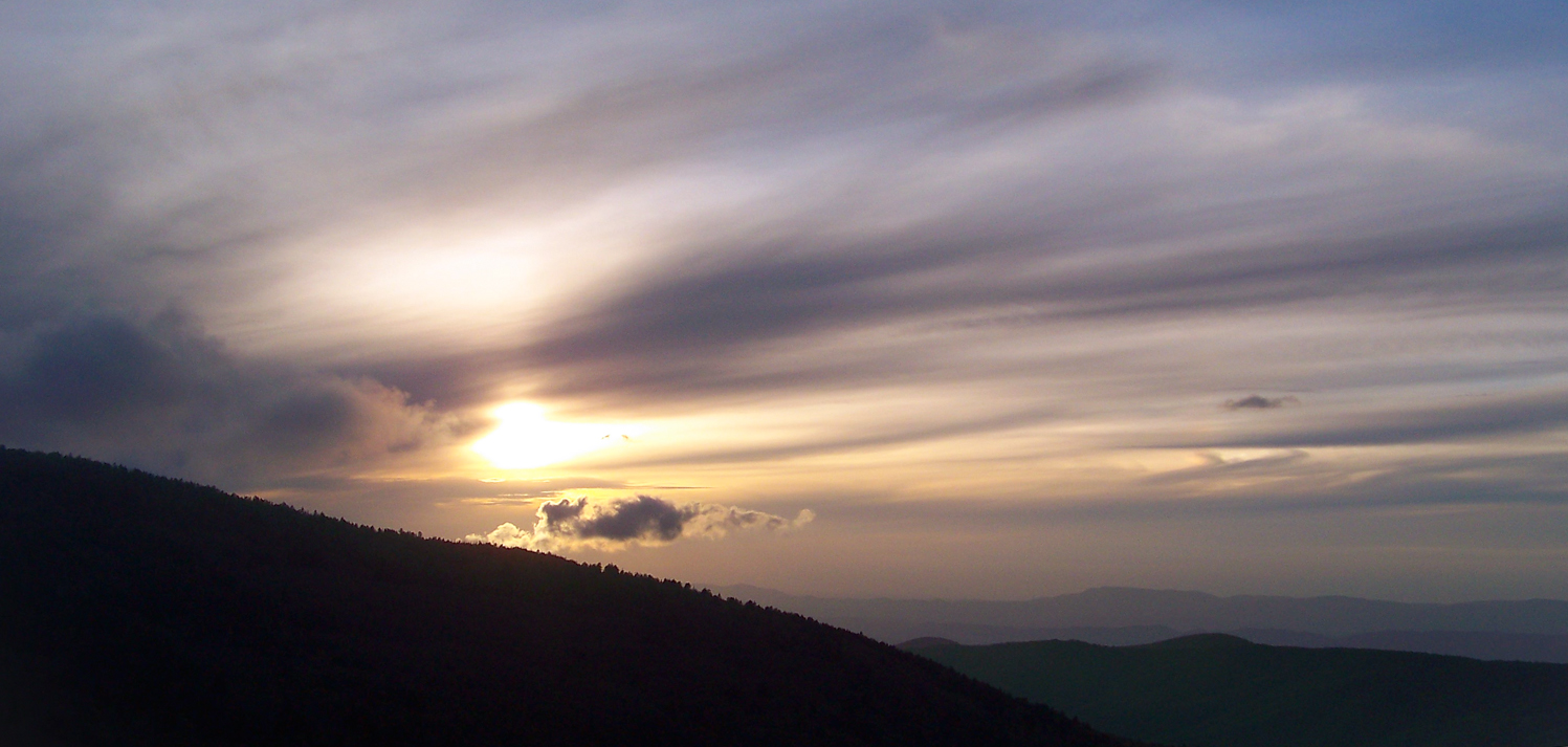
Sunset on White Top

Nuclear Blast

Appalachian Yorkie
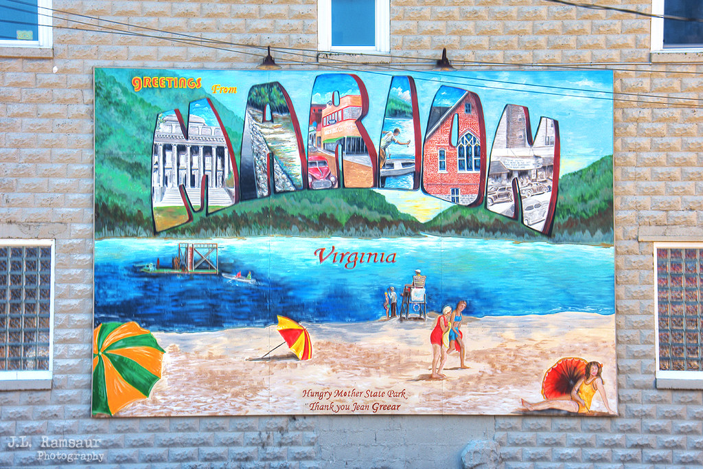
Greetings from Marion Virginia mural - Marion, Virginia
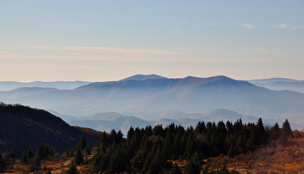
Morning in the Grayson Highlands

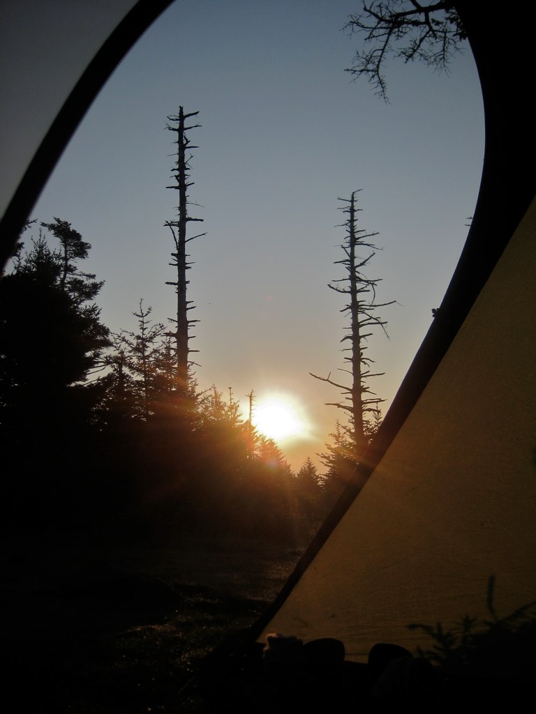
The Light Shines Through
Pine Mountain
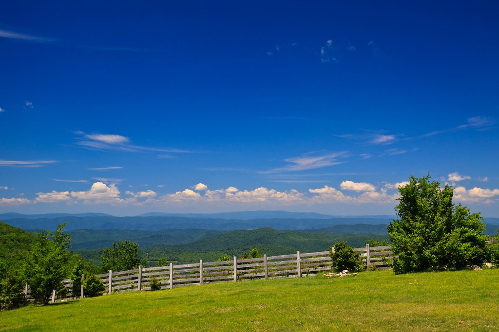
View from The Scales
Mt Rogers Backpack - Another view on the AT - July 5, 2014
Room With A View
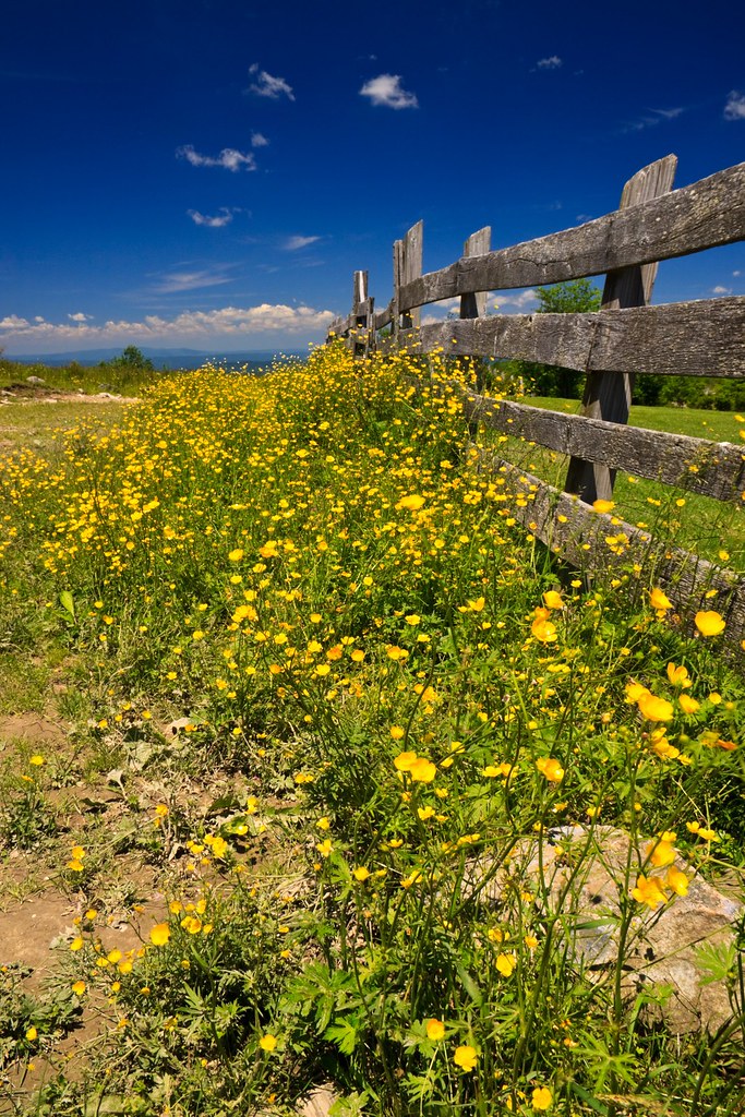
Buttercups along the Fence
Mt Rogers Sunset
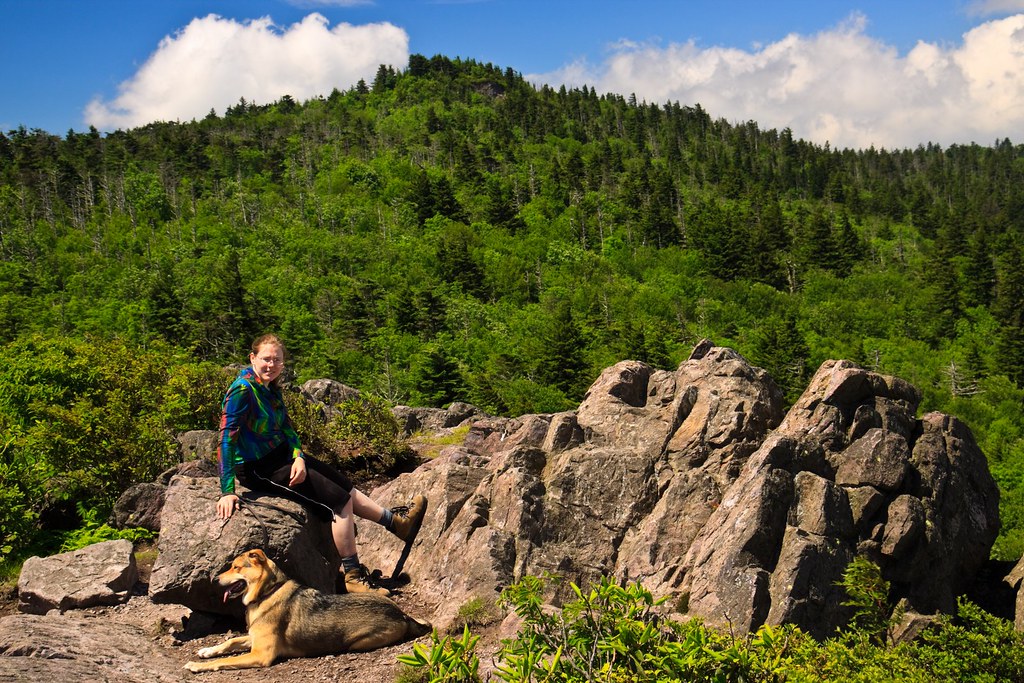
Erin and Greta
Looking North
AT View

VIRGINIA CREEPER TRAIL
Sunset on White Top

Wilburn Ridge Sunset
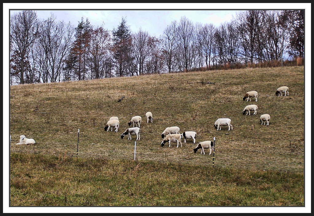
The Herder
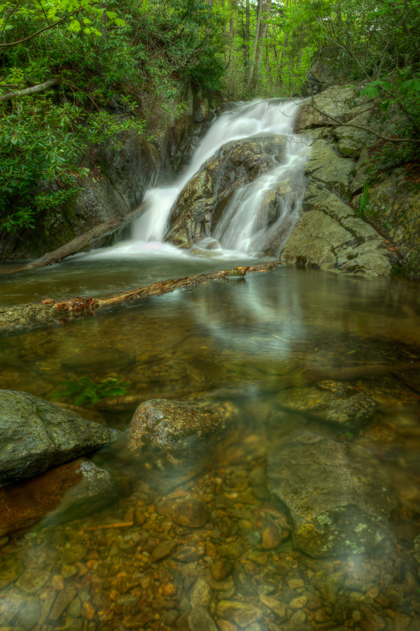
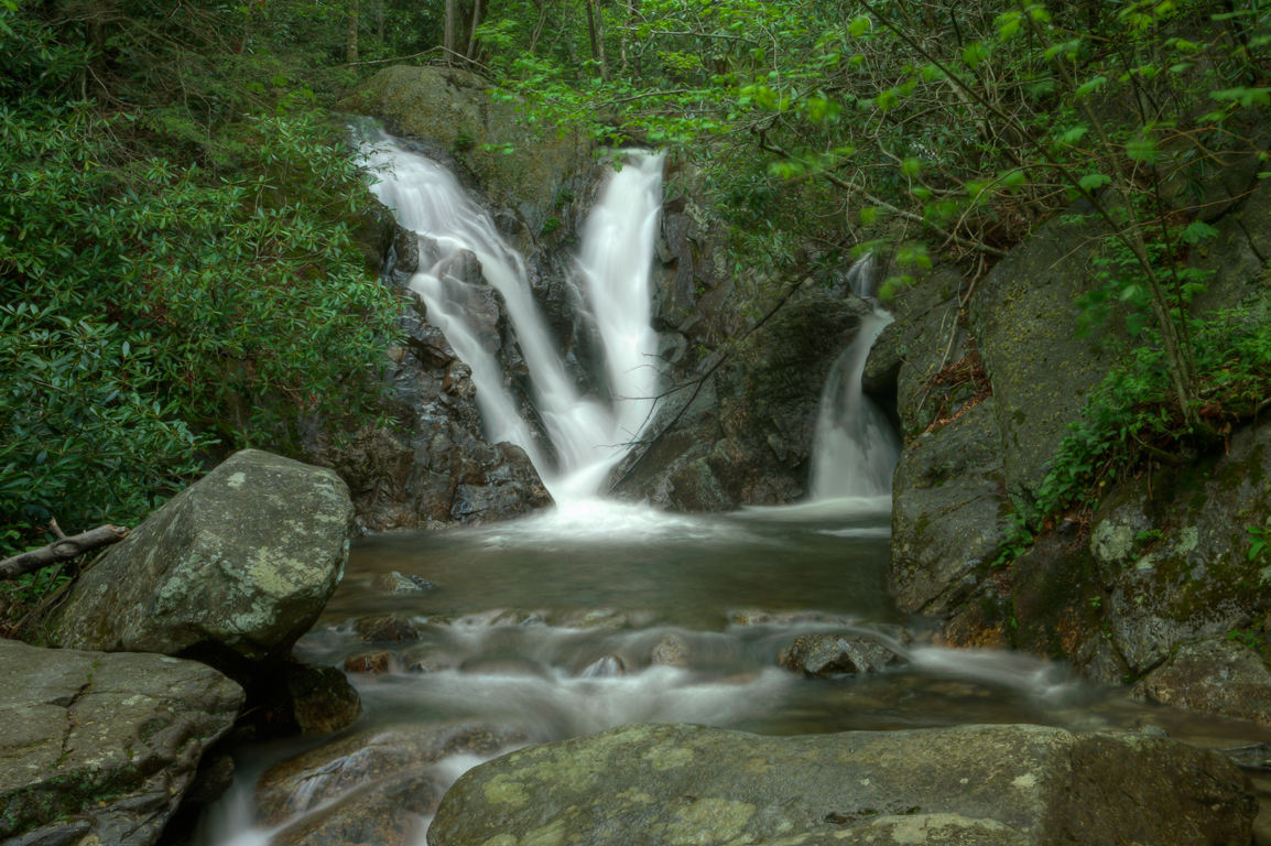
Upper Cabin Creek Falls
Mt Rogers Backpack - On the AT - Golden Hour at Thomas Knob - July 5, 2014
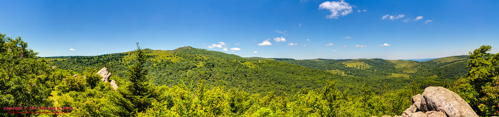
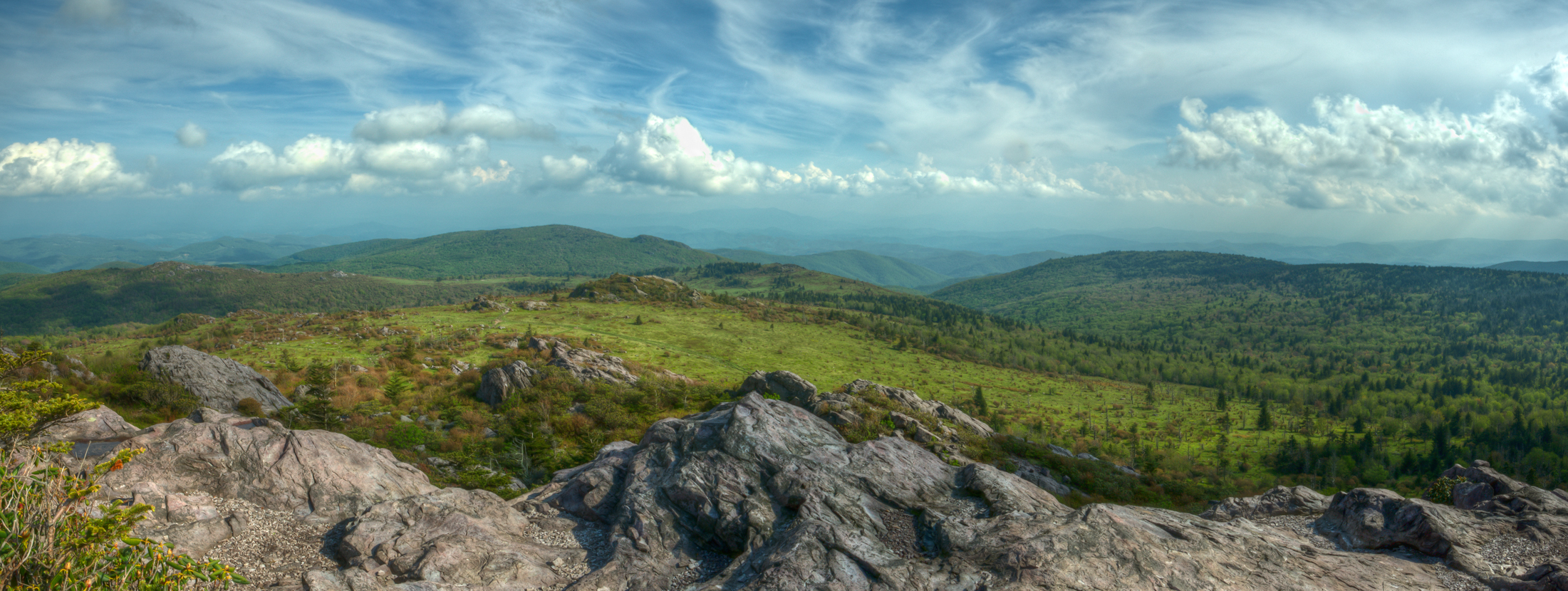
JFRM-2017-04-7548-Pano.jpg
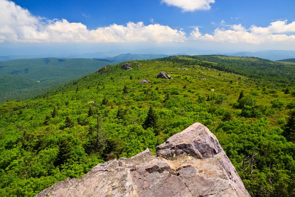
Mount Rogers

Wilburn Ridge Sunset

Morning Rhododendron
Grayson Highlands

Massie Gap, Grayson Highlands

Grayson Highlands

Mt Rogers Backpack - Sunrise on Thomas Knob - July 6, 2014
Lower Cabin Creek Falls

Fox Creek

Harvester butterfly (Feniseca tarquinius)
Evening Pano

JFRM-2017-04-7524.jpg

Mount Rogers Summit
Topographic Map of Sugar St, Chilhowie, VA, USA
Find elevation by address:

Places near Sugar St, Chilhowie, VA, USA:
901 Turkey Pen Rd
159 Old Mill Rd
283 Tilleys Bridge Rd
852 S Fork Rd
245 Shadow Wood Rd
282 Thomas Bridge Rd
Adwolfe
1151 Cherokee Ln
1149 Cherokee Ln
Cherokee Lane
Laurel Springs Road
Browns Subdivision Rd, Marion, VA, USA
903 Shuler Hollow Rd
Lee Hwy, Marion, VA, USA
799 Shuler Hollow Rd
701 Shuler Hollow Rd
Chilhowie
133 Raven Ln
342 Shuler Hollow Rd
173 Grinstead Hill
Recent Searches:
- Elevation of Corso Fratelli Cairoli, 35, Macerata MC, Italy
- Elevation of Tallevast Rd, Sarasota, FL, USA
- Elevation of 4th St E, Sonoma, CA, USA
- Elevation of Black Hollow Rd, Pennsdale, PA, USA
- Elevation of Oakland Ave, Williamsport, PA, USA
- Elevation of Pedrógão Grande, Portugal
- Elevation of Klee Dr, Martinsburg, WV, USA
- Elevation of Via Roma, Pieranica CR, Italy
- Elevation of Tavkvetili Mountain, Georgia
- Elevation of Hartfords Bluff Cir, Mt Pleasant, SC, USA