Elevation of Shadow Wood Rd, Chilhowie, VA, USA

Location: United States > Virginia > Smyth County > Rye Valley >

Longitude: -81.616378

Latitude: 36.756886

Elevation: 710m / 2329feet

Barometric Pressure: 93KPa

Elevation Map:

elevation map of Shadow Wood Rd, Chilhowie, VA, USA

Satellite Map:

Satellite map of Shadow Wood Rd, Chilhowie, VA, USA

Related Photos:

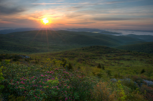
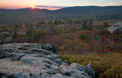
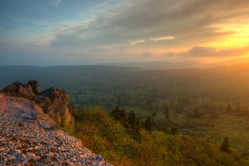
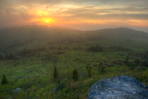
Wilburn Ridge Sunrise
landscape mountain hills view cloud sun graysonhighlandsstatepark plant tree rock texture
The Light Shines Through
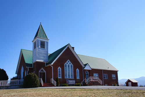
church virginia methodist smythcounty
Mountain View United Methodist Church
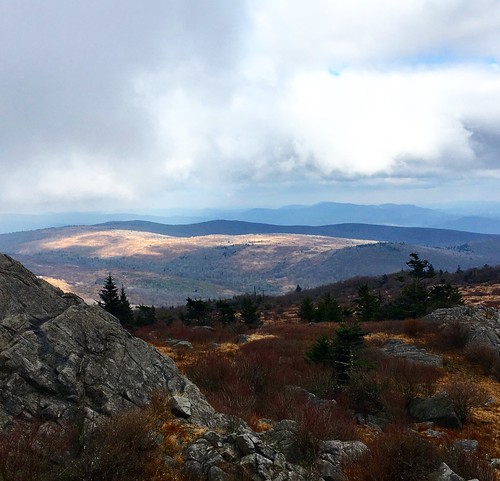
graysonhighlandsstatepark beauty virginia mountains view scenic landscape park tree sky cloud shadow plant
Majestic Mountains
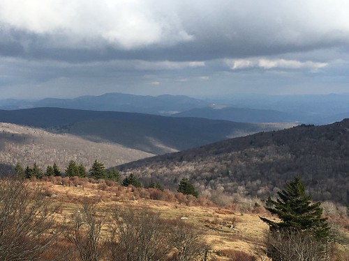
mountain virginia mount rogers whitetop
Whitetop Valley
graysonhighlandsstatepark ice frost plant rock mountain landscape cold view tree
Grayson Highlands
mountain virginia mount rogers whitetop
Buzzard Rock
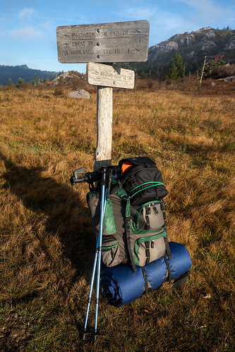
Wilburn Ridge Trail
Morning on Wilburn Ridge
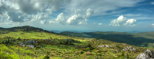
Wilburn Ridge Pano
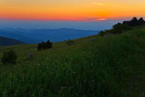
Grayson Highlands Sunset
sunset mountains virginia whitetop scenicviews mountrogers jeffersonnationalforest
Sunset on White Top
sunset mountains virginia whitetop scenicviews mountrogers jeffersonnationalforest
Sunset on White Top
virginia yorkshireterrier appalachiantrail graysonhighlandsstatepark wilburnridge mountrogersrecreationarea dogsthathike
Appalachian Yorkie
Nuclear Blast
summer landscape virginia highlands unitedstates meadow troutdale balds nationalrecreationarea southwestvirginia washingtoncounty graysoncounty mouthofwilson smythcounty mtrogersnra whitetopmountain mtrogersnationalrecreationarea d7000 washingtoncountyvirginia whitetopfolkfestival blueridgehighlands graysoncountyvirginia smythcountyvirginia pauldiming highcountrymeadow mouthofwilsonvirginia
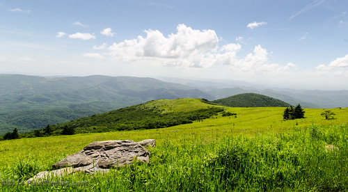
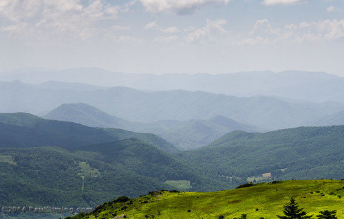
View Toward Buzzard Rocks from Whitetop Mountain - Mt. Rogers, NRA, Whitetop, VA
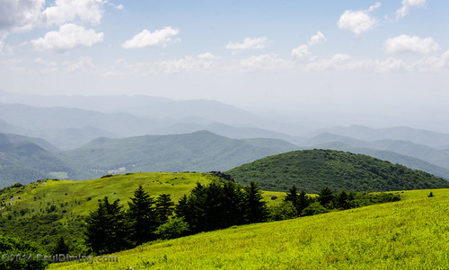
summer landscape virginia highlands unitedstates meadow troutdale balds nationalrecreationarea southwestvirginia washingtoncounty graysoncounty mouthofwilson smythcounty mtrogersnra whitetopmountain mtrogersnationalrecreationarea d7000 washingtoncountyvirginia whitetopfolkfestival blueridgehighlands graysoncountyvirginia smythcountyvirginia pauldiming highcountrymeadow mouthofwilsonvirginia
View From Whitetop Summit I - Mt. Rogers, NRA, Whitetop, VA
View from our Marion Virginia home
Mobile Home
summer landscape virginia highlands unitedstates meadow troutdale balds nationalrecreationarea southwestvirginia washingtoncounty graysoncounty mouthofwilson smythcounty mtrogersnra whitetopmountain mtrogersnationalrecreationarea d7000 washingtoncountyvirginia whitetopfolkfestival blueridgehighlands graysoncountyvirginia smythcountyvirginia pauldiming highcountrymeadow mouthofwilsonvirginia
View From Whitetop Summit II - Mt. Rogers, NRA, Whitetop, VA
Room With A View
appalachiantrail usa virginia troutdale unitedstates us
JFRM-2017-04-7534.jpg
appalachiantrail usa virginia damascus unitedstates us
JFRM-2017-04-7524.jpg
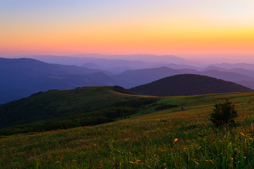
Wilburn Ridge Sunset
mountrogers usa panorama virginia appalachiantrail whitetop unitedstates us
JFRM-2017-04-7548-Pano.jpg
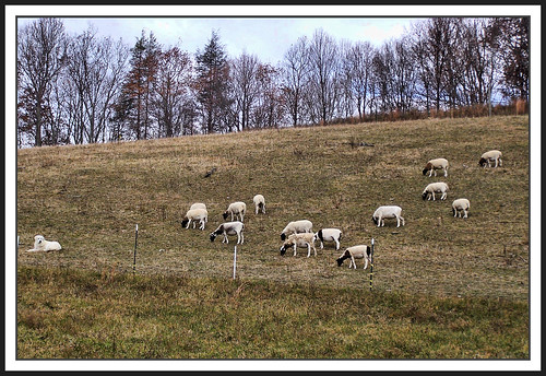
dog virginia sheep pasture blueribbonwinner washingtoncounty supershot platinumphoto anawesomeshot goldstaraward
The Herder
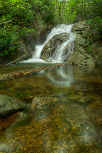
Upper Cabin Creek Falls
horse point climb virginia high mt pointer peak hike mount pony va summit rogers seek 32 shetland
Mount Rogers Summit
sunset panorama usa landscape geotagged virginia unitedstates hiking backpacking hdr appalachiantrail whitetop fairwood ptgui photomatix thomasknob mountrogersnationalrecreationarea canon7d sigma18250mmf3563dcmacrooshsm geo:lat=3665561074 geo:lon=8153577715
Mt Rogers Backpack - On the AT - Golden Hour at Thomas Knob - July 5, 2014
Mount Rogers
Wilburn Ridge Sunset
wood horse point climb virginia high mt pointer web peak hike mount trail pony va summit rogers seek 32 shetland
Web of Wood