Elevation of Stuttgart, AR, USA
Location: United States > Arkansas > Arkansas County > Gum Pond Township >
Longitude: -91.552628
Latitude: 34.5003748
Elevation: 64m / 210feet
Barometric Pressure: 101KPa
Elevation Map:
Satellite Map:
Related Photos:

Z11_4749

Z11_4753

Triticum aestivum
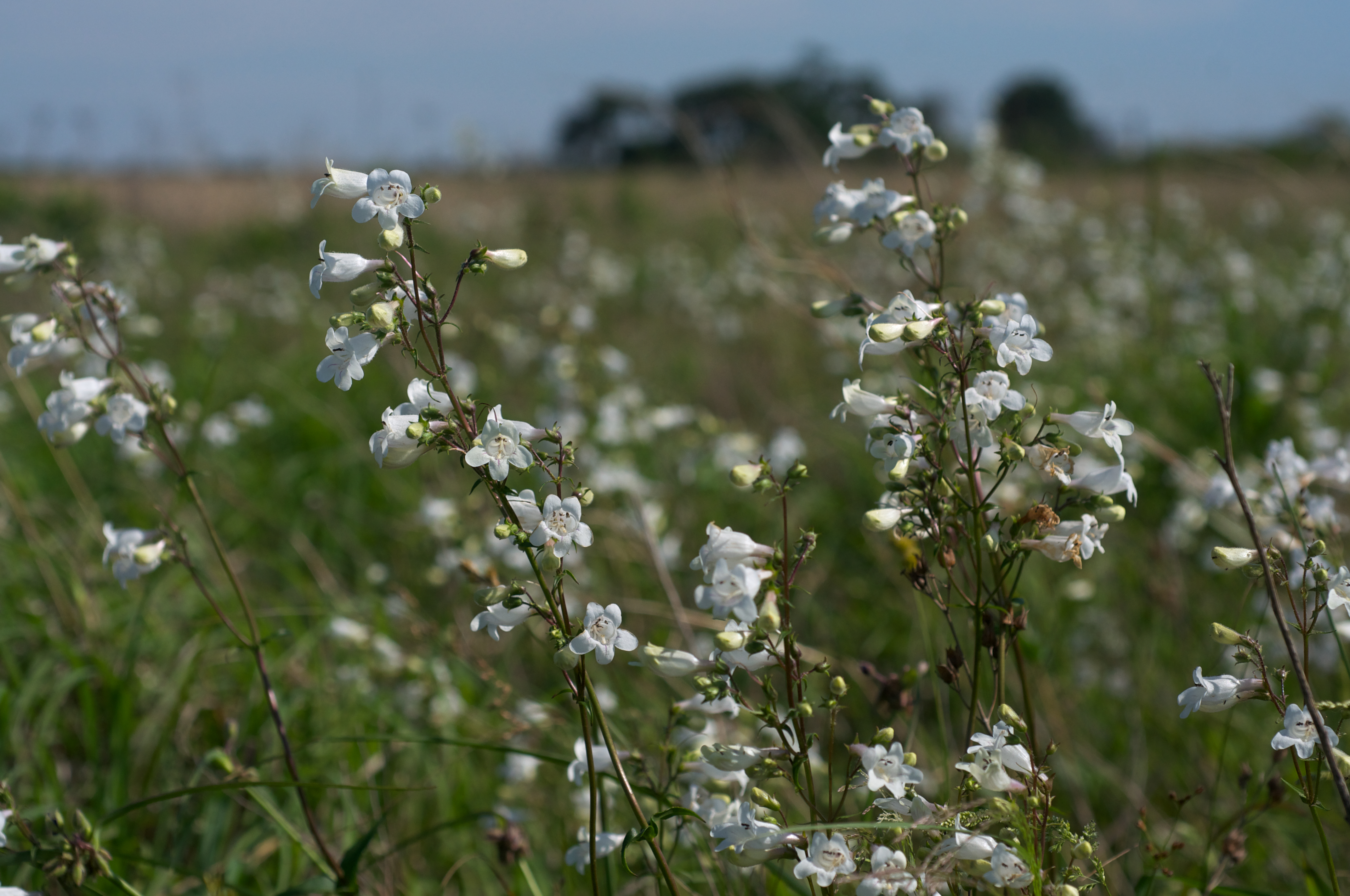
Penstemon digitalis
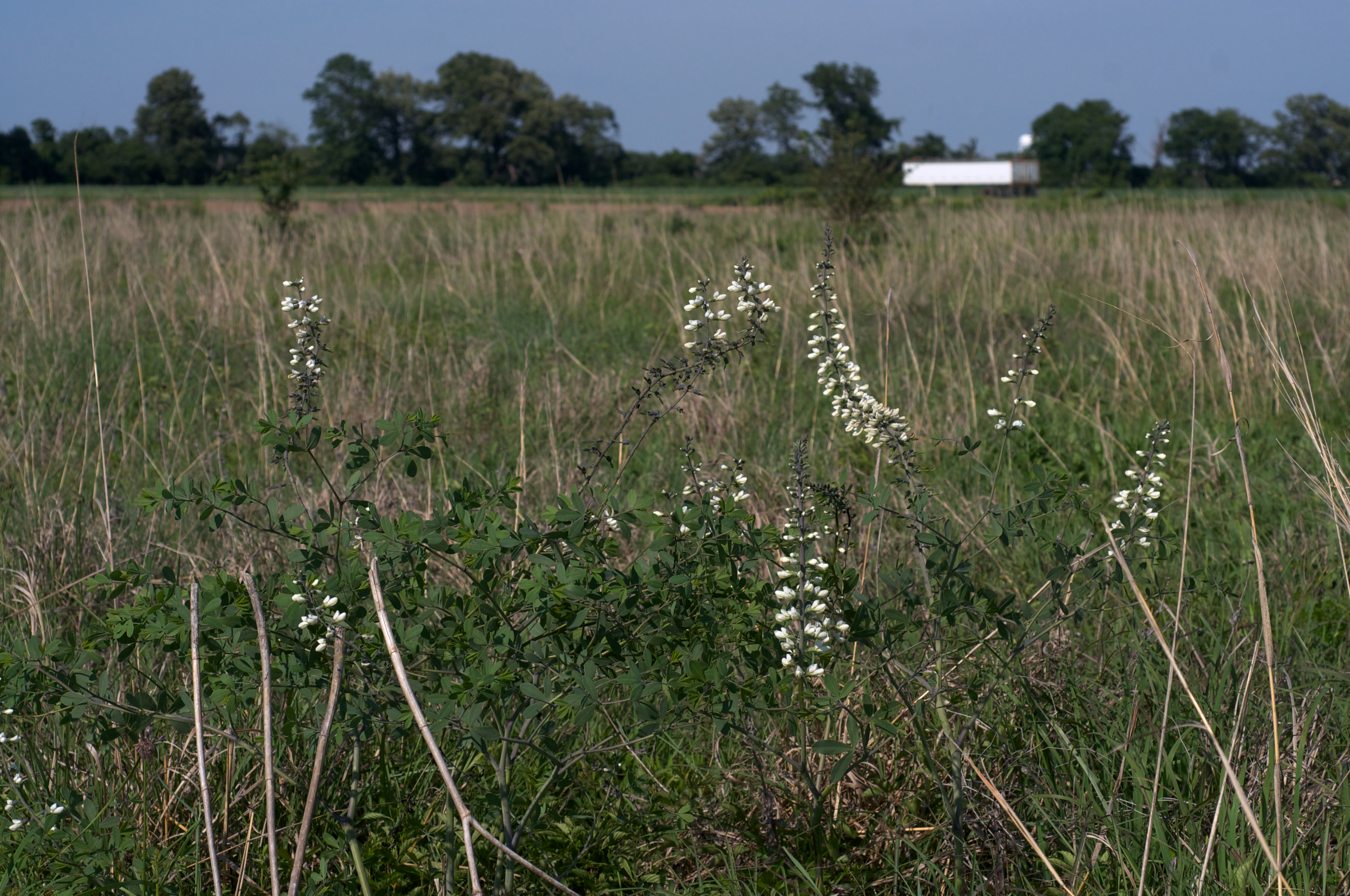
Baptisia alba var. macrophylla

IMG_0413 (2)
IMG_0415 (2)
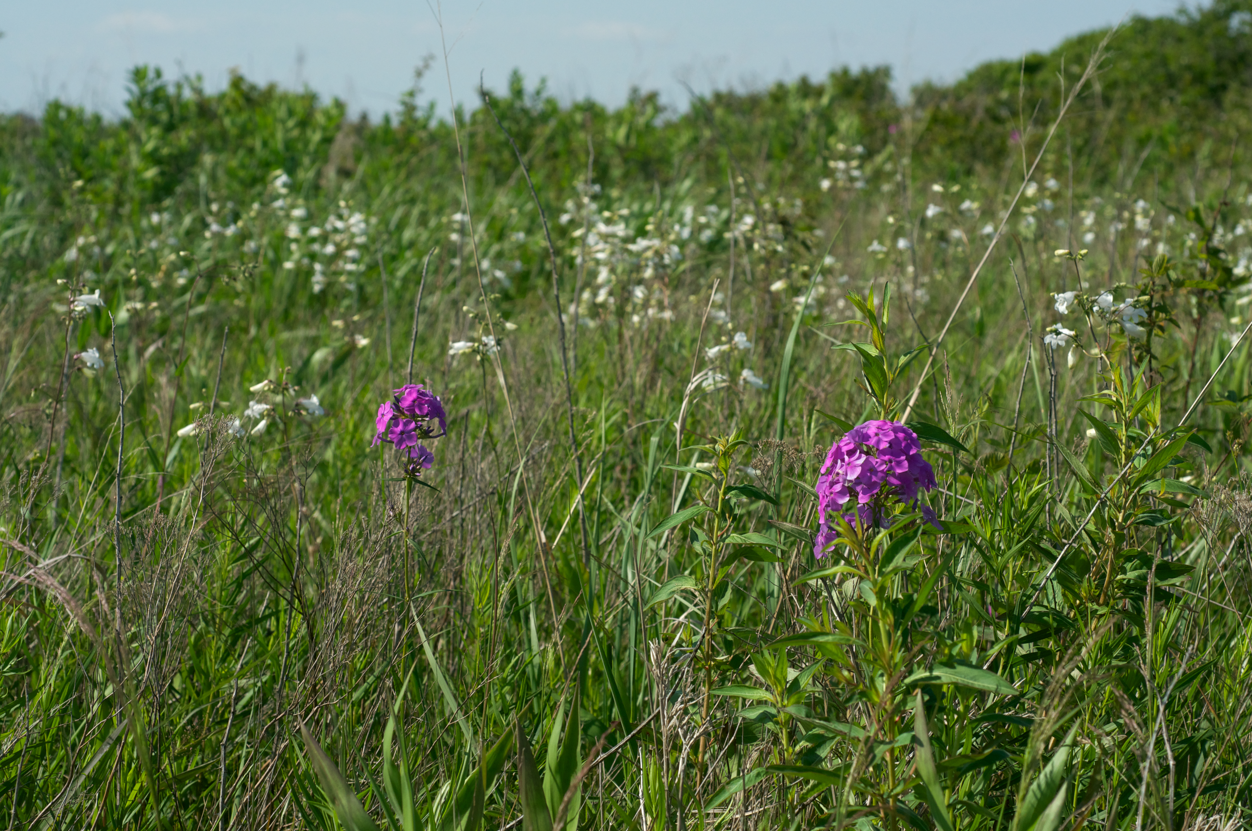
Phlox glaberrima
IMG_0414 (2)
IMG_0411 (2)
Topographic Map of Stuttgart, AR, USA
Find elevation by address:

Places in Stuttgart, AR, USA:
Places near Stuttgart, AR, USA:
S Main St, Stuttgart, AR, USA
212 E 17th St
2015 S Main St
Gum Pond Township
98 Goldman Loop, Stuttgart, AR, USA
Morris Township
S Yoder Rd, Stuttgart, AR, USA
Mill Bayou Township
N Main, Stuttgart, AR, USA
Holdridge Rd, Almyra, AR, USA
AR-86, Hazen, AR, USA
Isbell Township
Garland Township
Snake Island Rd, Carlisle, AR, USA
Almyra
Main, Almyra, AR, USA
US-, Stuttgart, AR, USA
AR-13, Humnoke, AR, USA
Humnoke
Olena Rd, Almyra, AR, USA
Recent Searches:
- Elevation of Corso Fratelli Cairoli, 35, Macerata MC, Italy
- Elevation of Tallevast Rd, Sarasota, FL, USA
- Elevation of 4th St E, Sonoma, CA, USA
- Elevation of Black Hollow Rd, Pennsdale, PA, USA
- Elevation of Oakland Ave, Williamsport, PA, USA
- Elevation of Pedrógão Grande, Portugal
- Elevation of Klee Dr, Martinsburg, WV, USA
- Elevation of Via Roma, Pieranica CR, Italy
- Elevation of Tavkvetili Mountain, Georgia
- Elevation of Hartfords Bluff Cir, Mt Pleasant, SC, USA