Elevation of Stultz Lane, Stultz Ln, Virginia, USA
Location: United States > Virginia > Rockingham County > Plains > Bergton >
Longitude: -78.946417
Latitude: 38.816737
Elevation: 513m / 1683feet
Barometric Pressure: 95KPa
Elevation Map:
Satellite Map:
Related Photos:
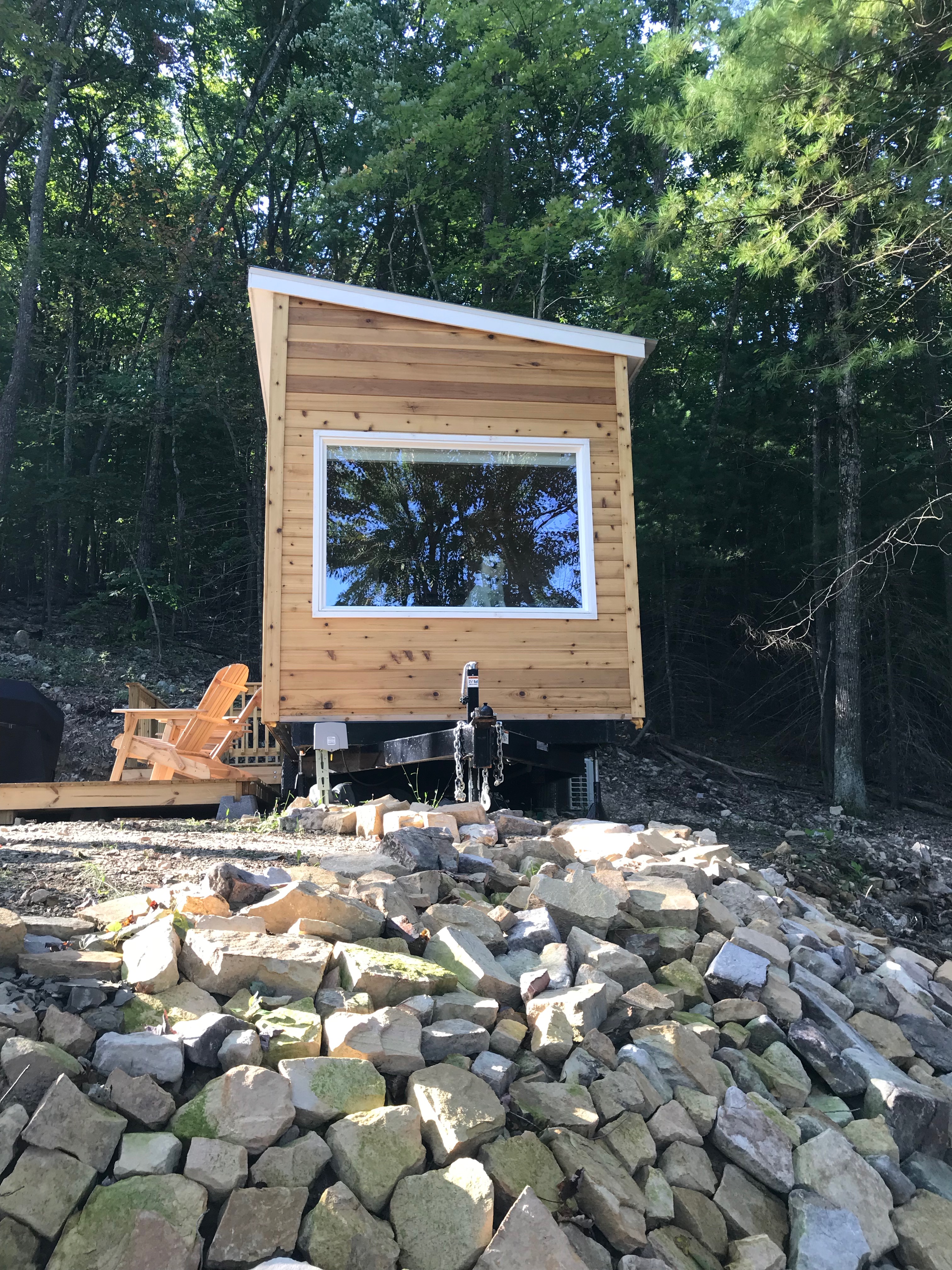
Window view of mobile home

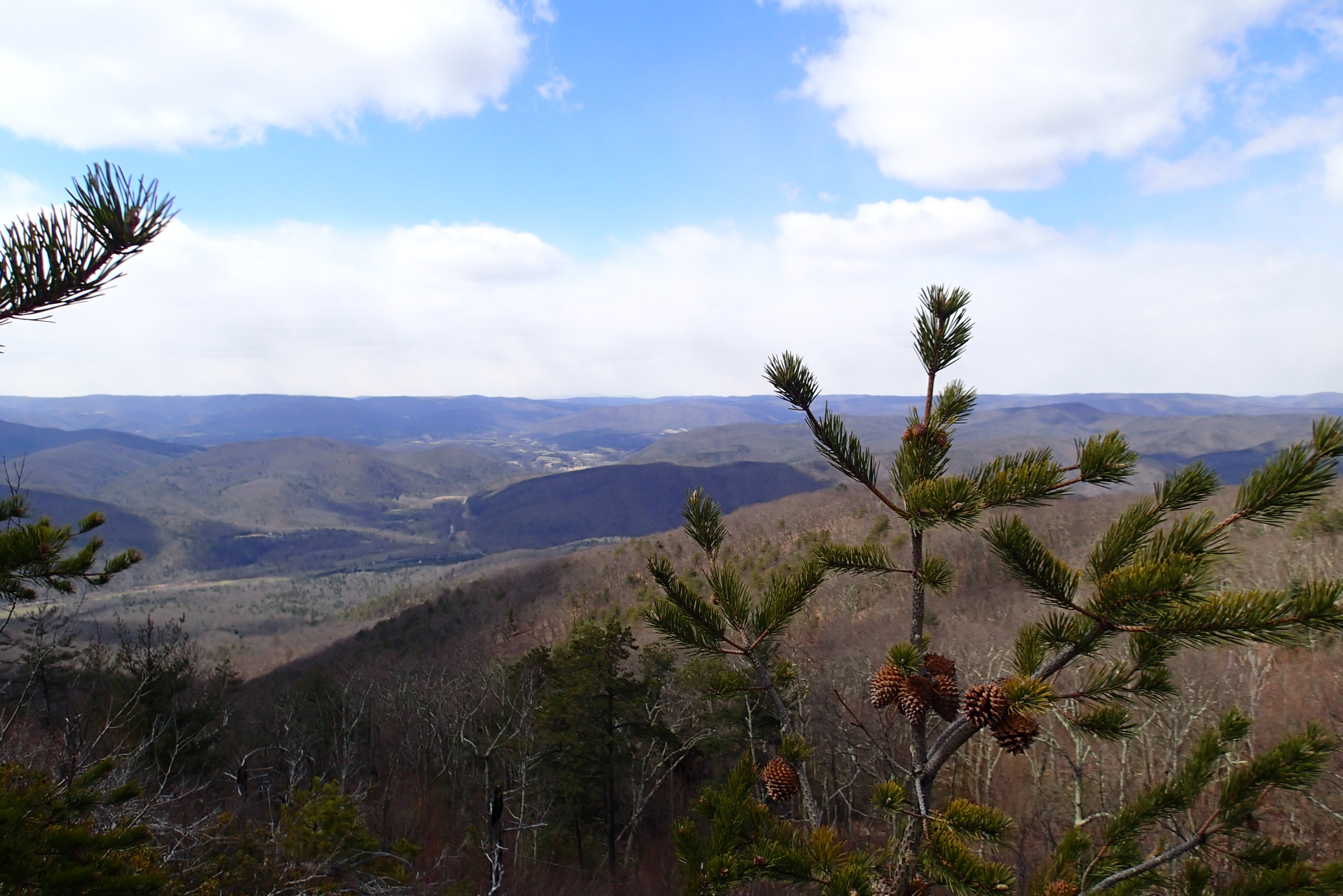
View from Lost Rivers

Valley View Mennonite Church, Criders, Virginia, 1993

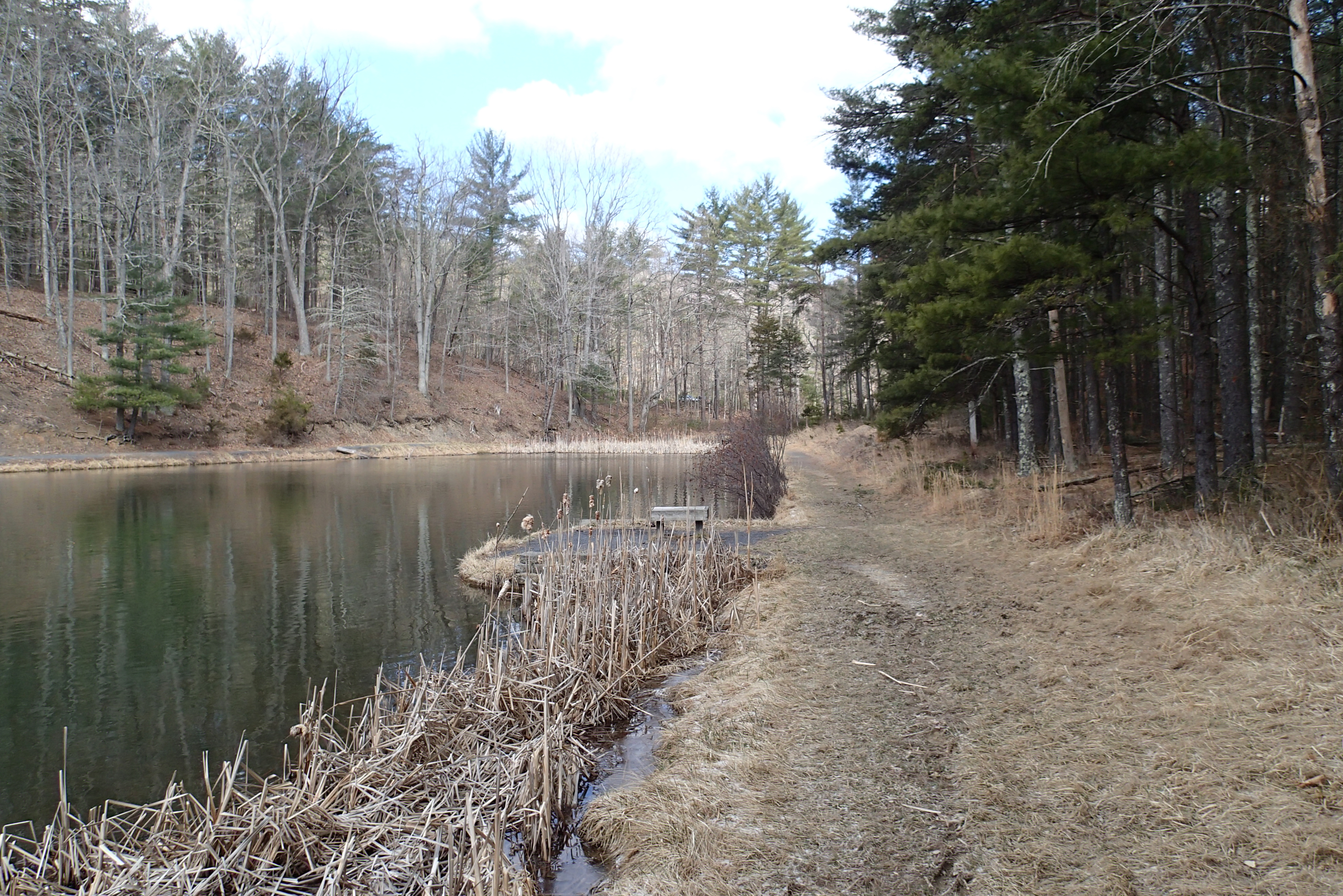
P3285504 04 Jct View Ahead at Tomahawk Pond Tr and Benches
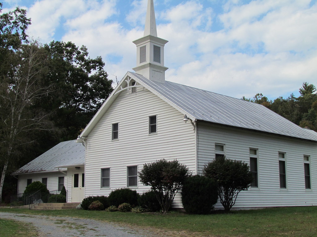
Valley View Mennonite Church Criders Virginia 2012

Valley View Mennonite Church Criders Virginia 2012 (1880)

Valley View Mennonite Church Criders Virginia 2012
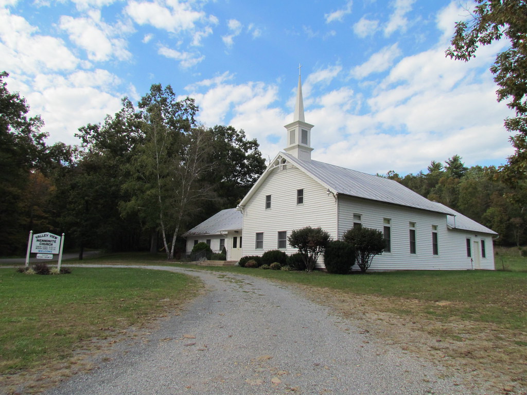
Valley View Mennonite Church Criders Virginia 2012

Valley View Mennonite Church Criders Virginia 2012
P3285605 06 Jct View Looking at Social Short Cut

P3285496 03 Jct View Looking Back at Access Tr
P3285613 08 Jct View Looking Back at Church Rock Tr
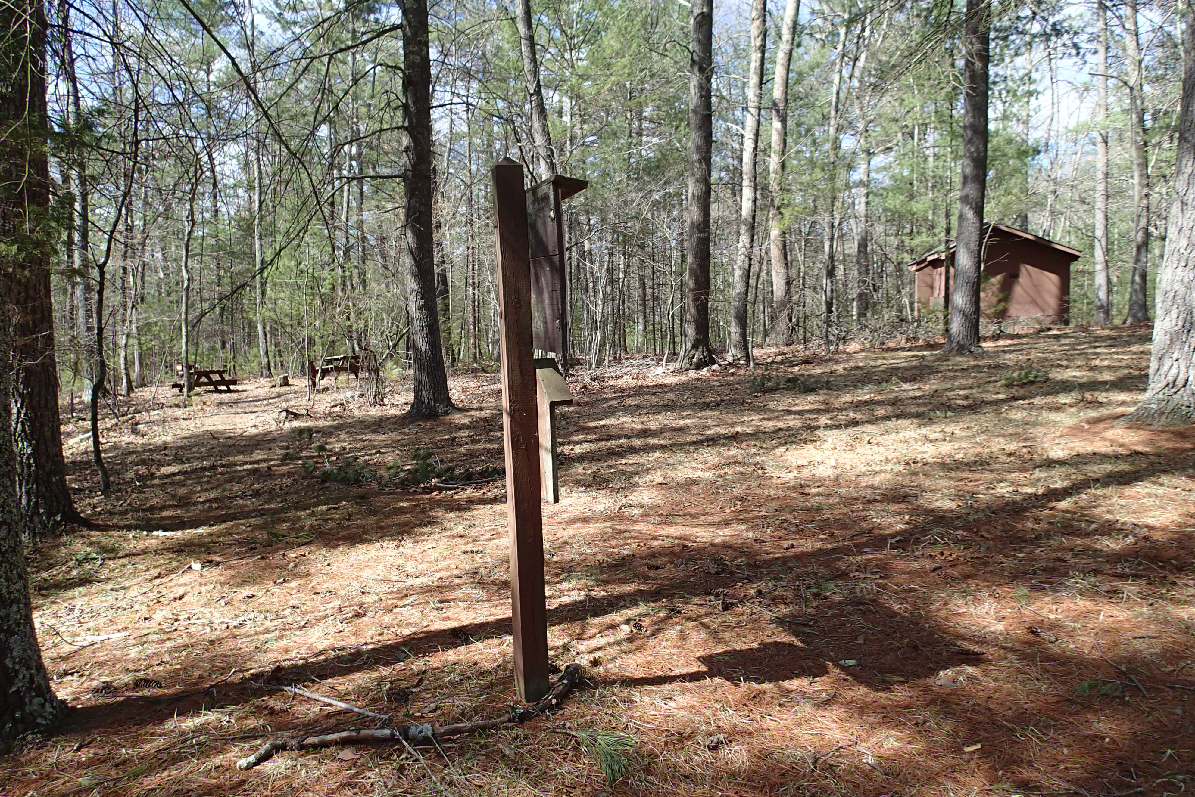
P3285532 08 TH View Picnic Area Closed Restrooms

P3285516 07 Jct View Looking Back at Tomahawk Pond Tr

P3285603 06 Jct View Looking Back
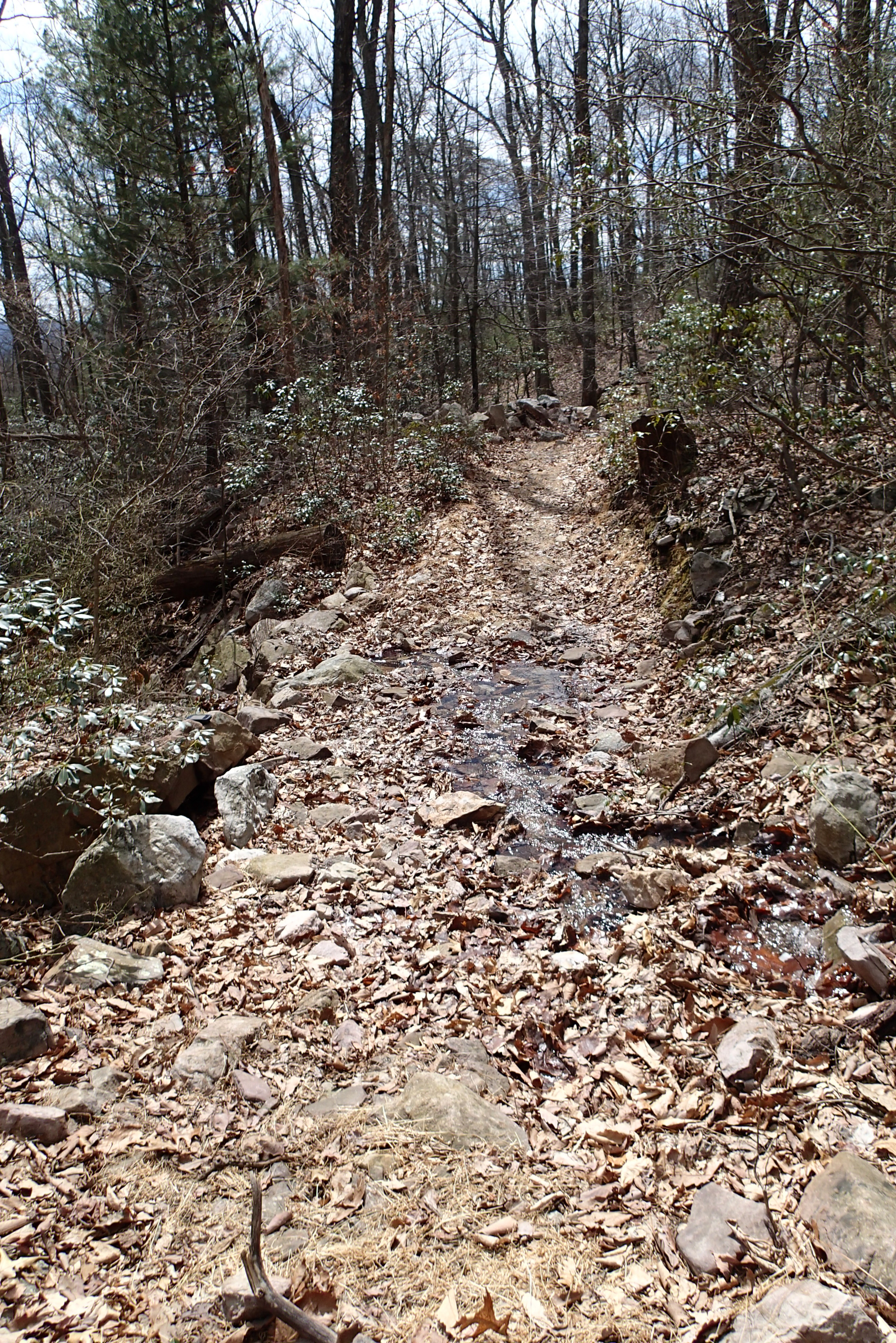
P3285600 05 Stream Crossing View Looking Back
P3285502 04 Jct View Looking Back at Tomahawk PondTr

P3285596 04 Jct View Church Rock Tr

DSC01175 003 View Great North Mtn facing north

P3285553 10 View of Parking Restrooms
P3295623 10 Church Rock View Left

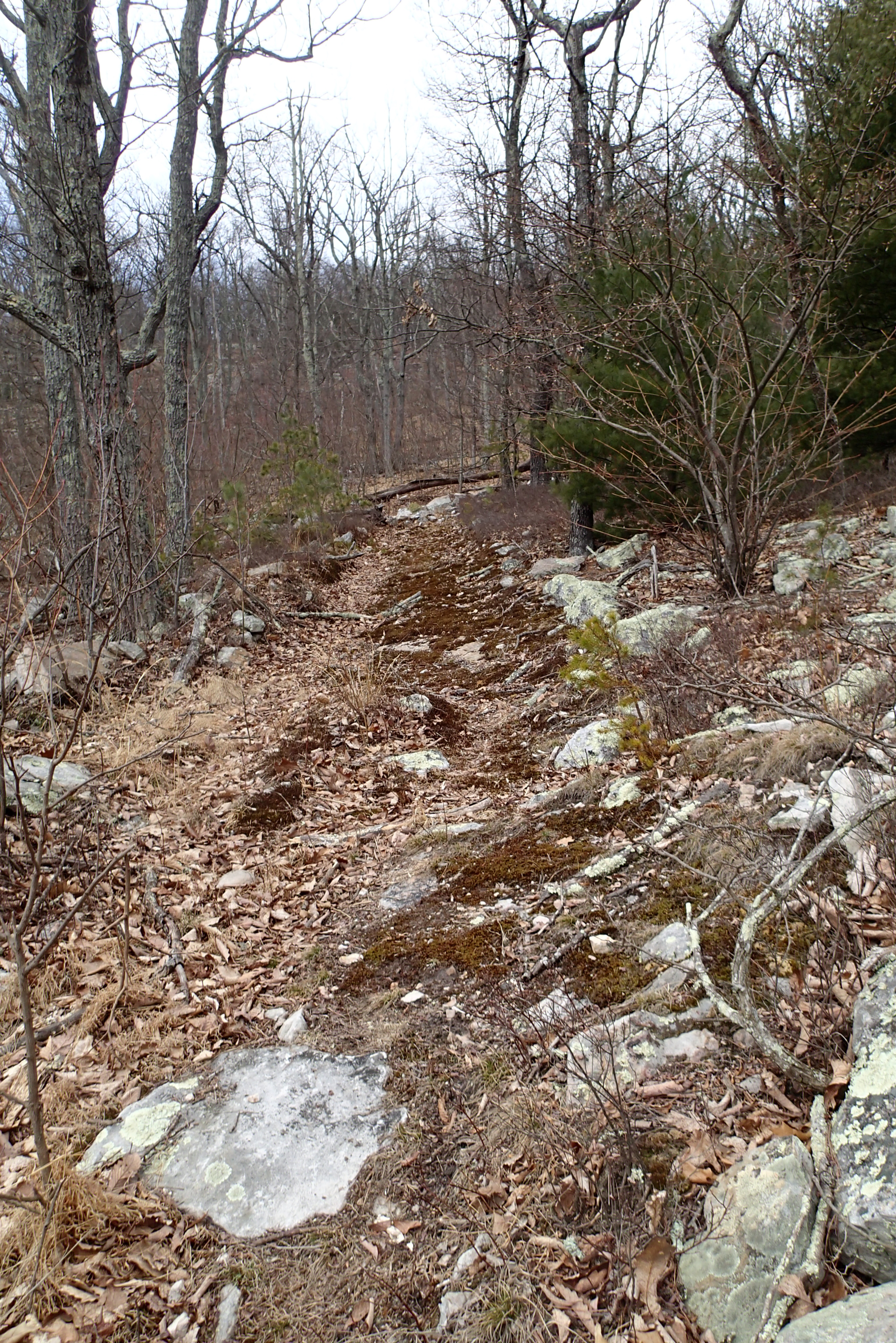
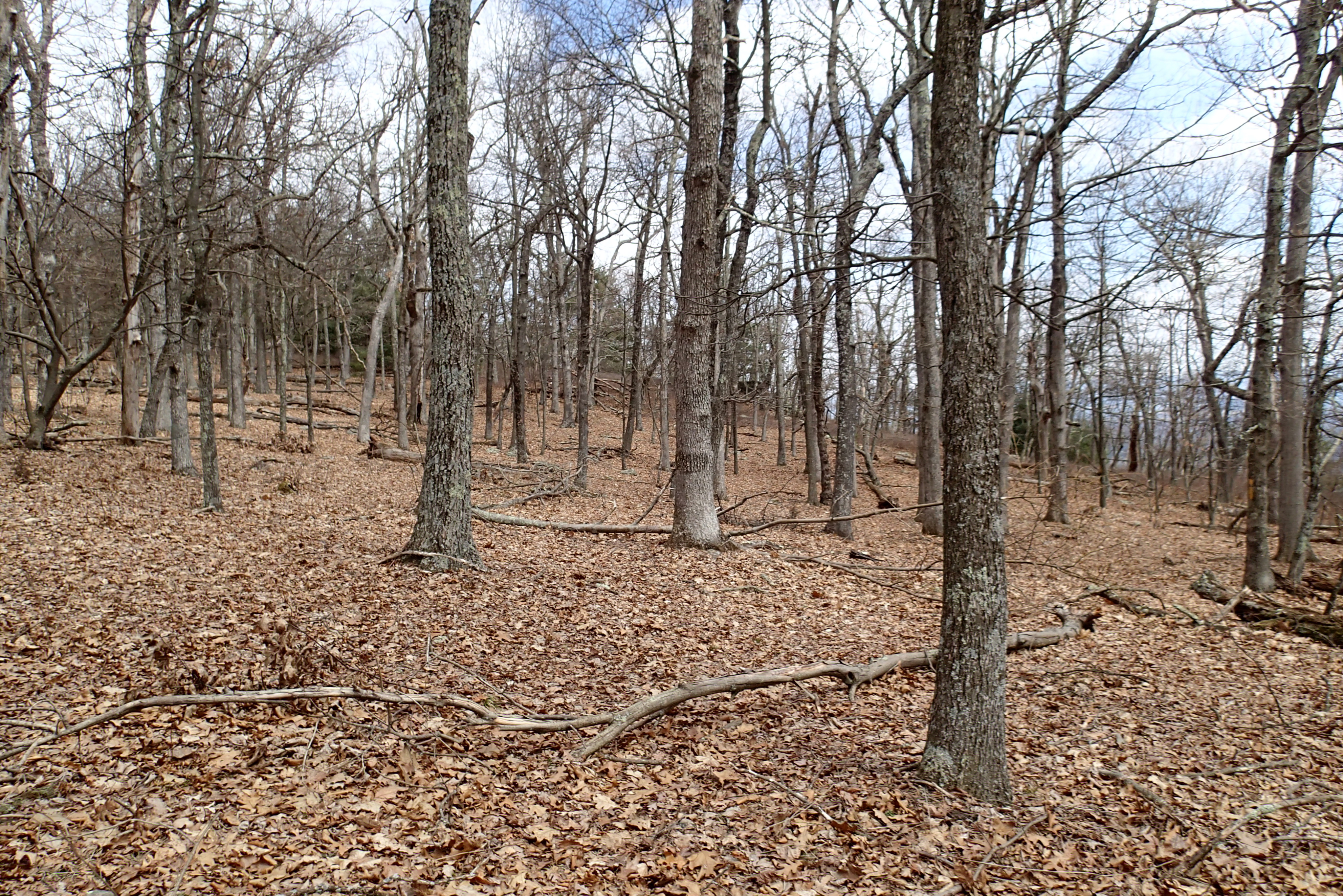
A walk in the woods

Photo Op

First Box Turtle of the season, Church Mountain area of George Washington National Forest

Moon Through Trees
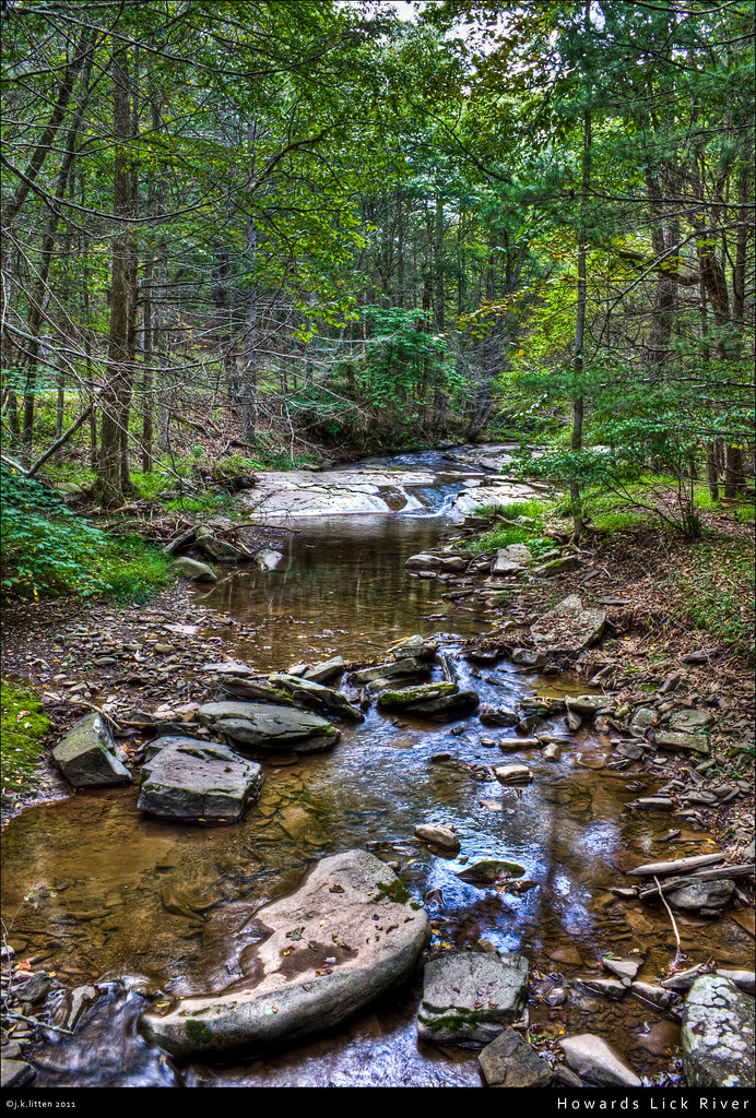
Howards Lick River

Zion Methodist Church, Milam, WV

20090307-_MG_9667

20090307-_MG_9669

Snow at Chalet High

Moss at Lost River State Park

Lost River Trails

2009 Parish Rereat-17

Dawn Over the Shenandoah Valley

DSC01172 002 Jct Hunkerson Gap Tr facing north

Toad, Highland Retreat, Bergton, Virginia

West VA 121001_103 pan s
Topographic Map of Stultz Lane, Stultz Ln, Virginia, USA
Find elevation by address:

Places near Stultz Lane, Stultz Ln, Virginia, USA:
20898 Souder Ln
810 Fallbush Mountain Dr
19592 Clem Hollow Ln
Moyers Lane
18304 Crab Run Rd
29292 Arbuckle Rd
17938 Crab Run Rd
18140 Bergton Rd
16979 Bergton Rd
Bergton
16633 Bergton Rd
Mattie Snyder Road
Highland Retreat
21555 Overly Hollow
Plains
564 Delta Rd 2
23148 Overly Hollow
23049 Overly Hollow
21934 Bennett Run Rd
Criders
Recent Searches:
- Elevation of Corso Fratelli Cairoli, 35, Macerata MC, Italy
- Elevation of Tallevast Rd, Sarasota, FL, USA
- Elevation of 4th St E, Sonoma, CA, USA
- Elevation of Black Hollow Rd, Pennsdale, PA, USA
- Elevation of Oakland Ave, Williamsport, PA, USA
- Elevation of Pedrógão Grande, Portugal
- Elevation of Klee Dr, Martinsburg, WV, USA
- Elevation of Via Roma, Pieranica CR, Italy
- Elevation of Tavkvetili Mountain, Georgia
- Elevation of Hartfords Bluff Cir, Mt Pleasant, SC, USA