Elevation of Crab Run Rd, Bergton, VA, USA
Location: United States > Virginia > Rockingham County > Plains > Bergton >
Longitude: -78.946913
Latitude: 38.782996
Elevation: 509m / 1670feet
Barometric Pressure: 95KPa
Elevation Map:
Satellite Map:
Related Photos:
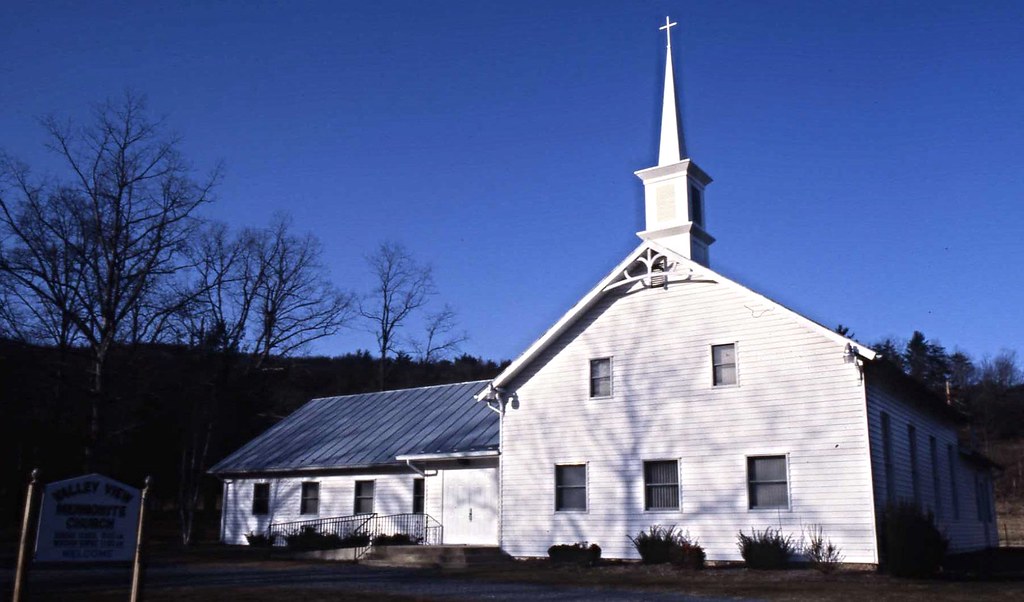
Valley View Mennonite Church, Criders, Virginia, 1993

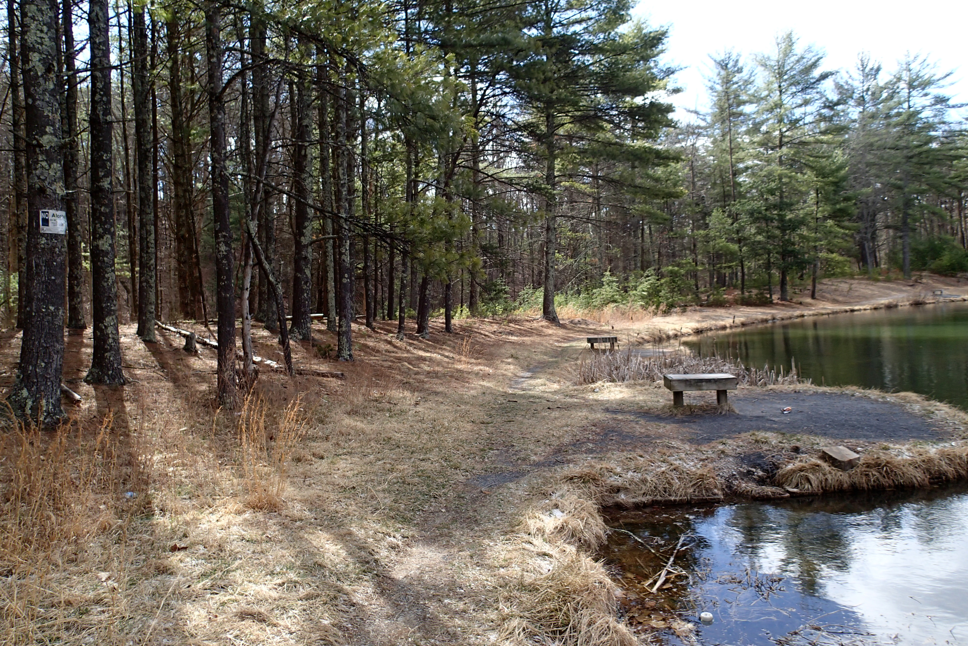
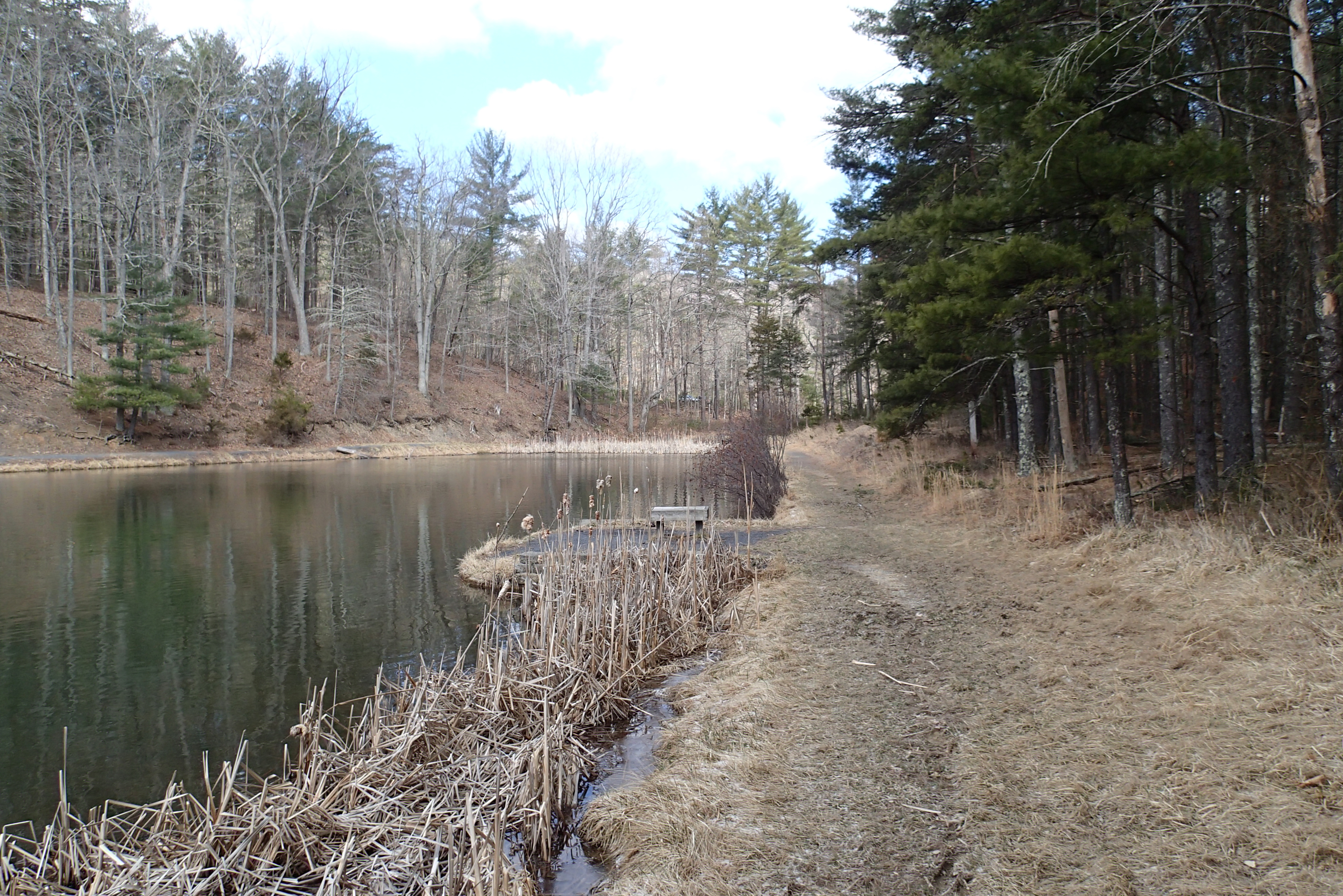
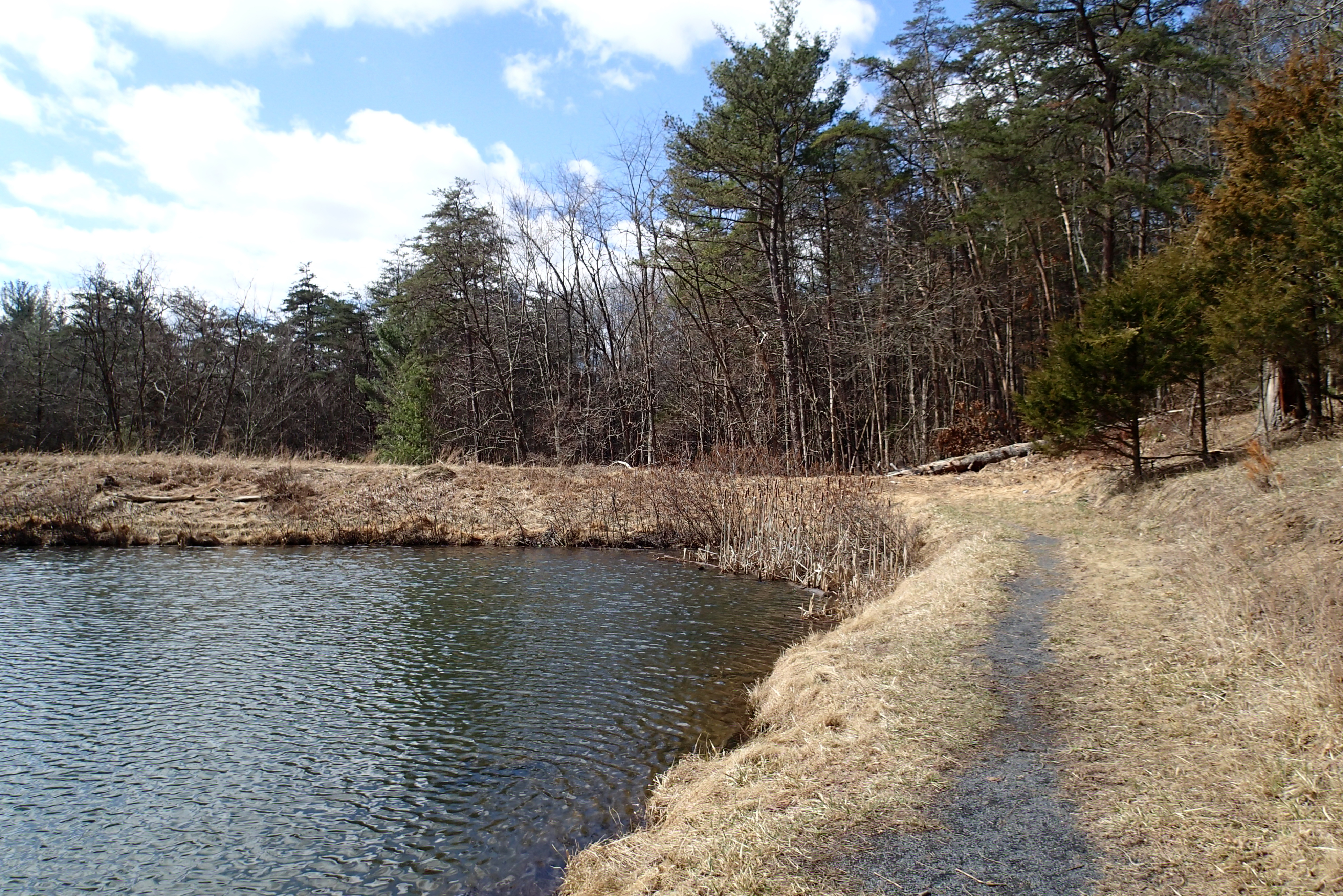
View of Stream in Summer

Valley View Mennonite Church Criders Virginia 2012
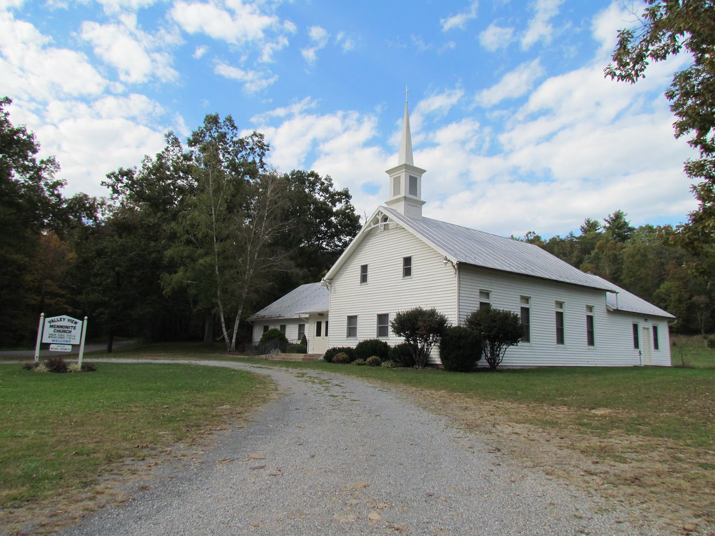
Valley View Mennonite Church Criders Virginia 2012

Valley View Mennonite Church Criders Virginia 2012
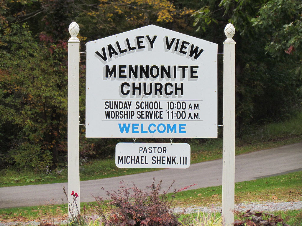
Valley View Mennonite Church Criders Virginia 2012 (1880)
P3285504 04 Jct View Ahead at Tomahawk Pond Tr and Benches
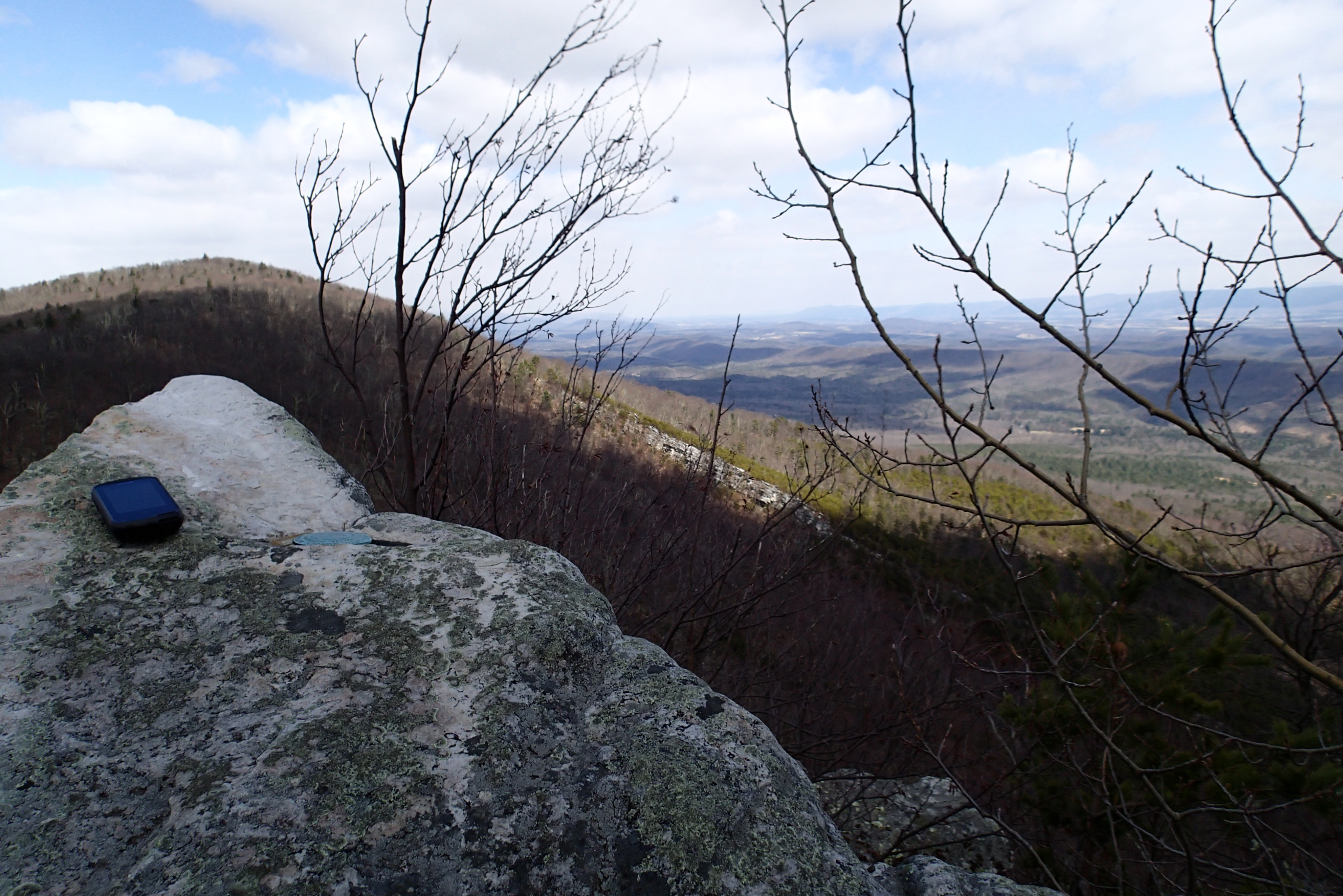
P3295621 10 Church Rock View
P3285611 08 Jct View Looking Right
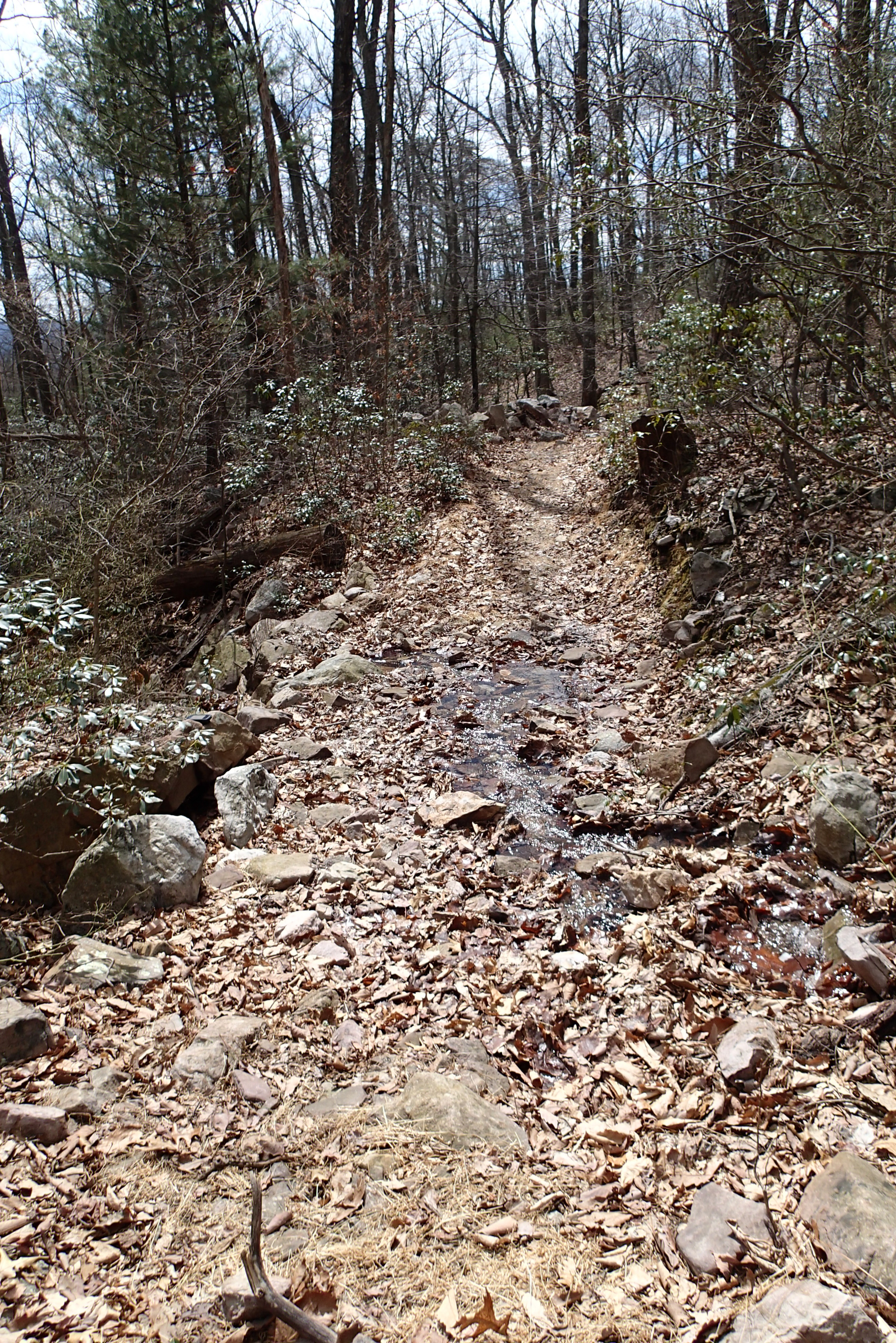
P3285600 05 Stream Crossing View Looking Back
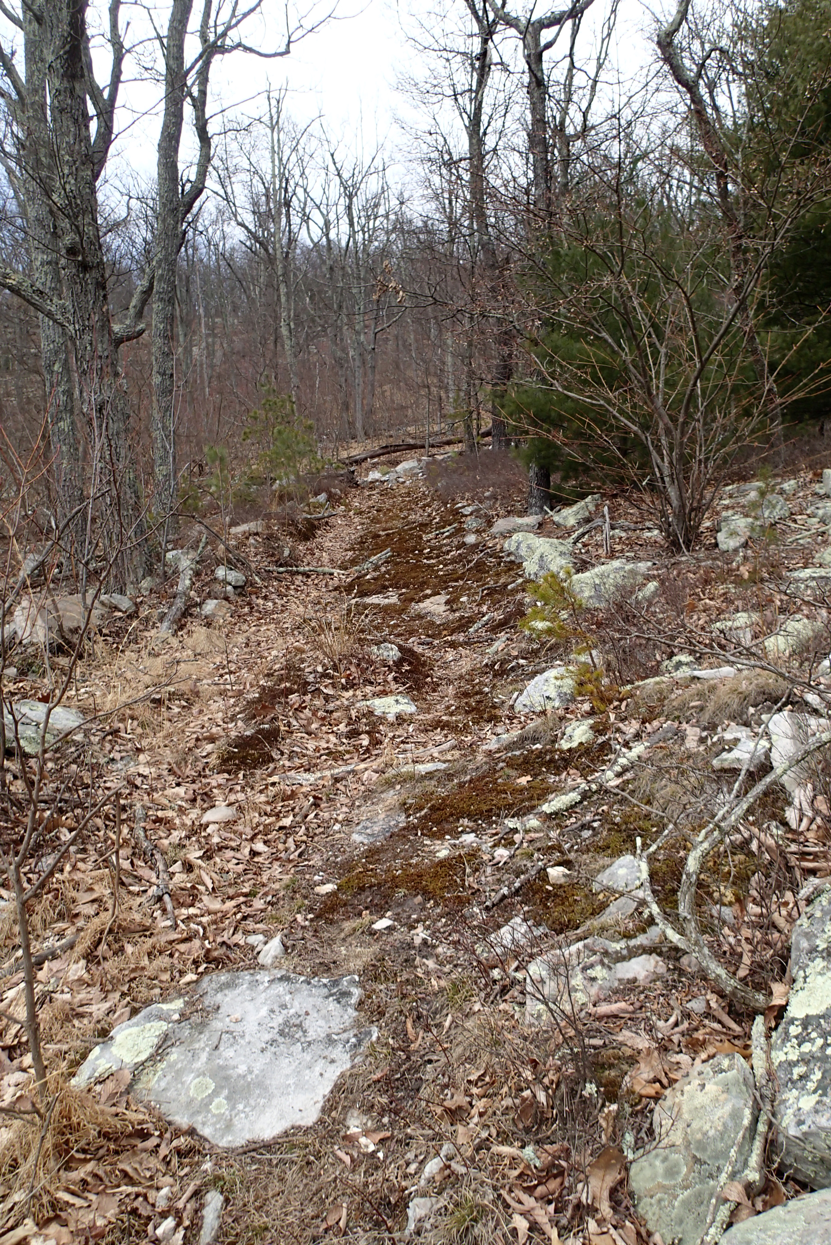
P3285503 04 Jct View Forest Road
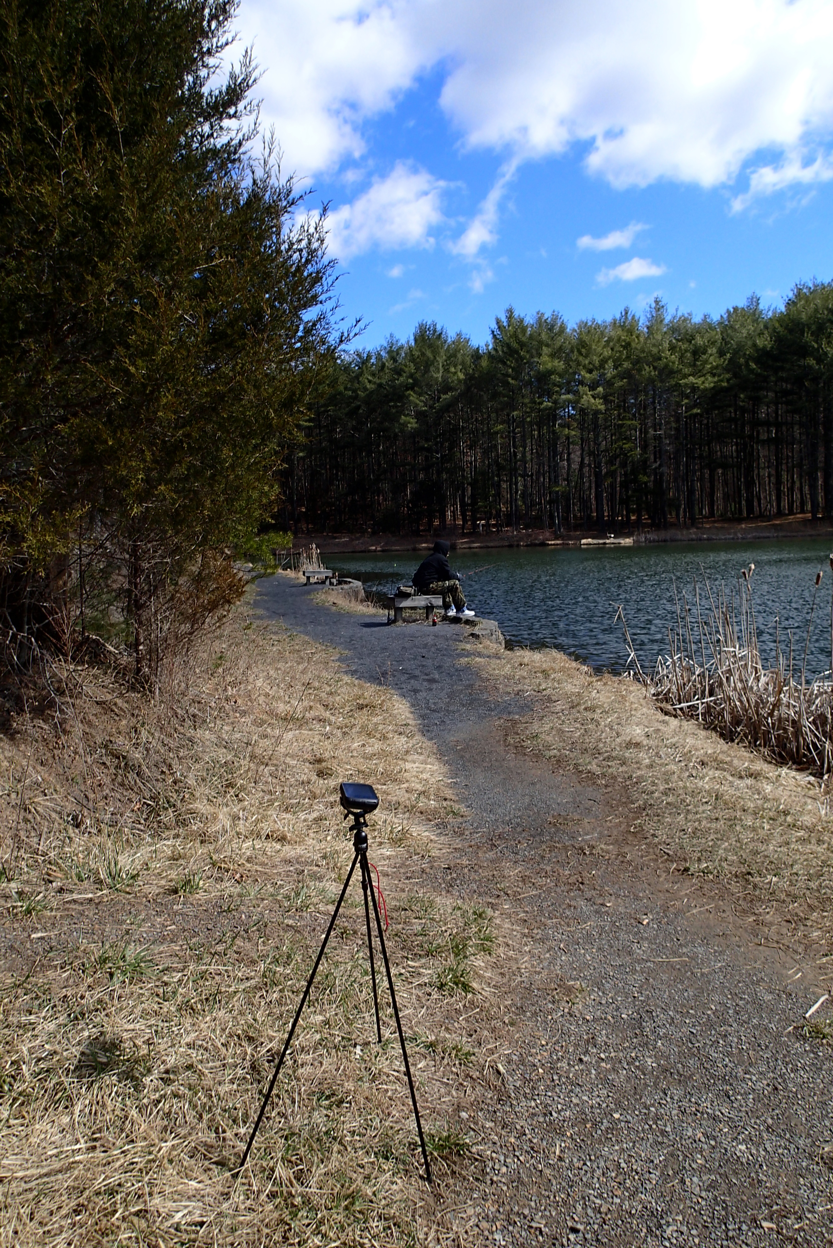
P3285524 08 TH View to Pond
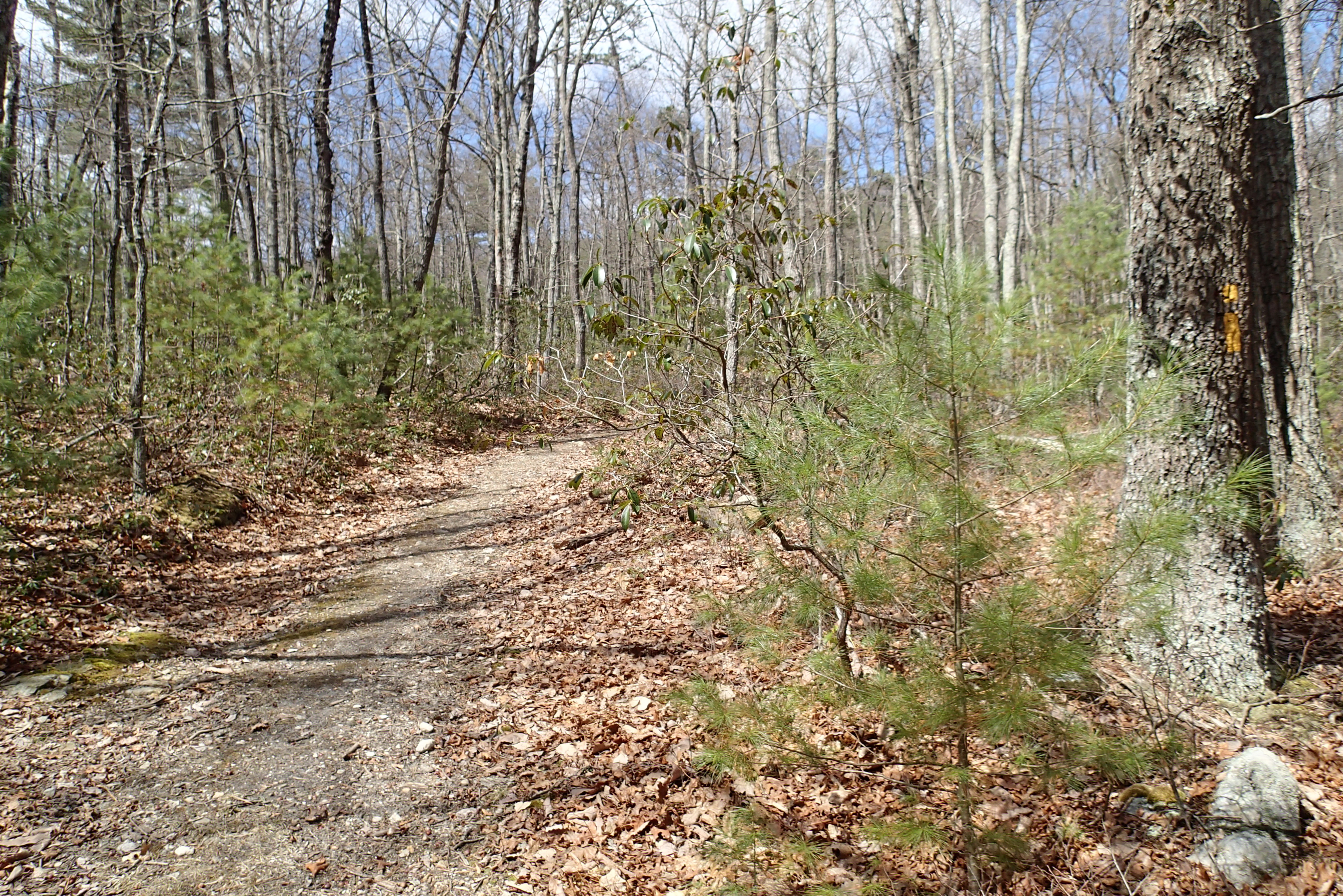
P3285596 04 Jct View Church Rock Tr

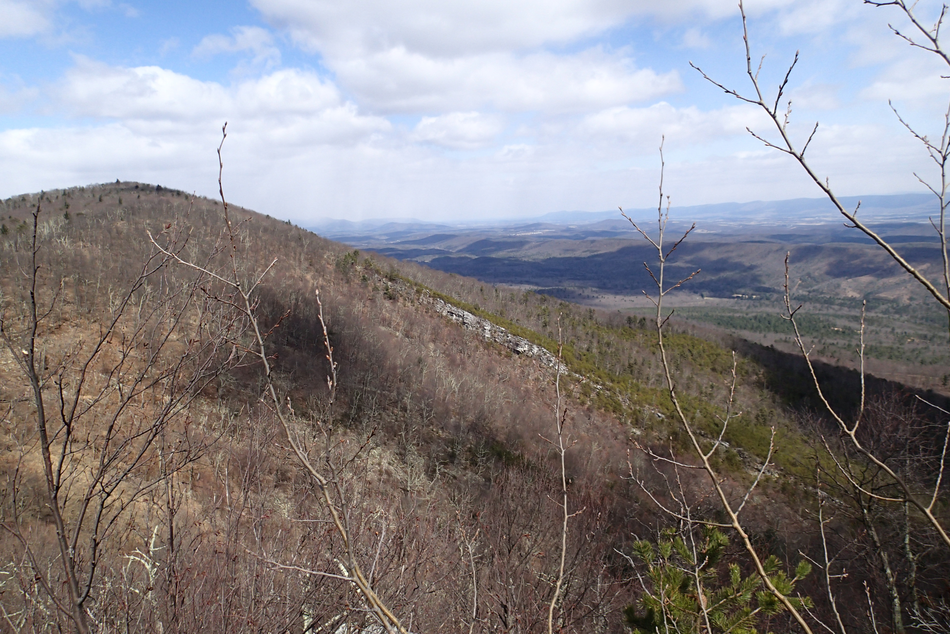
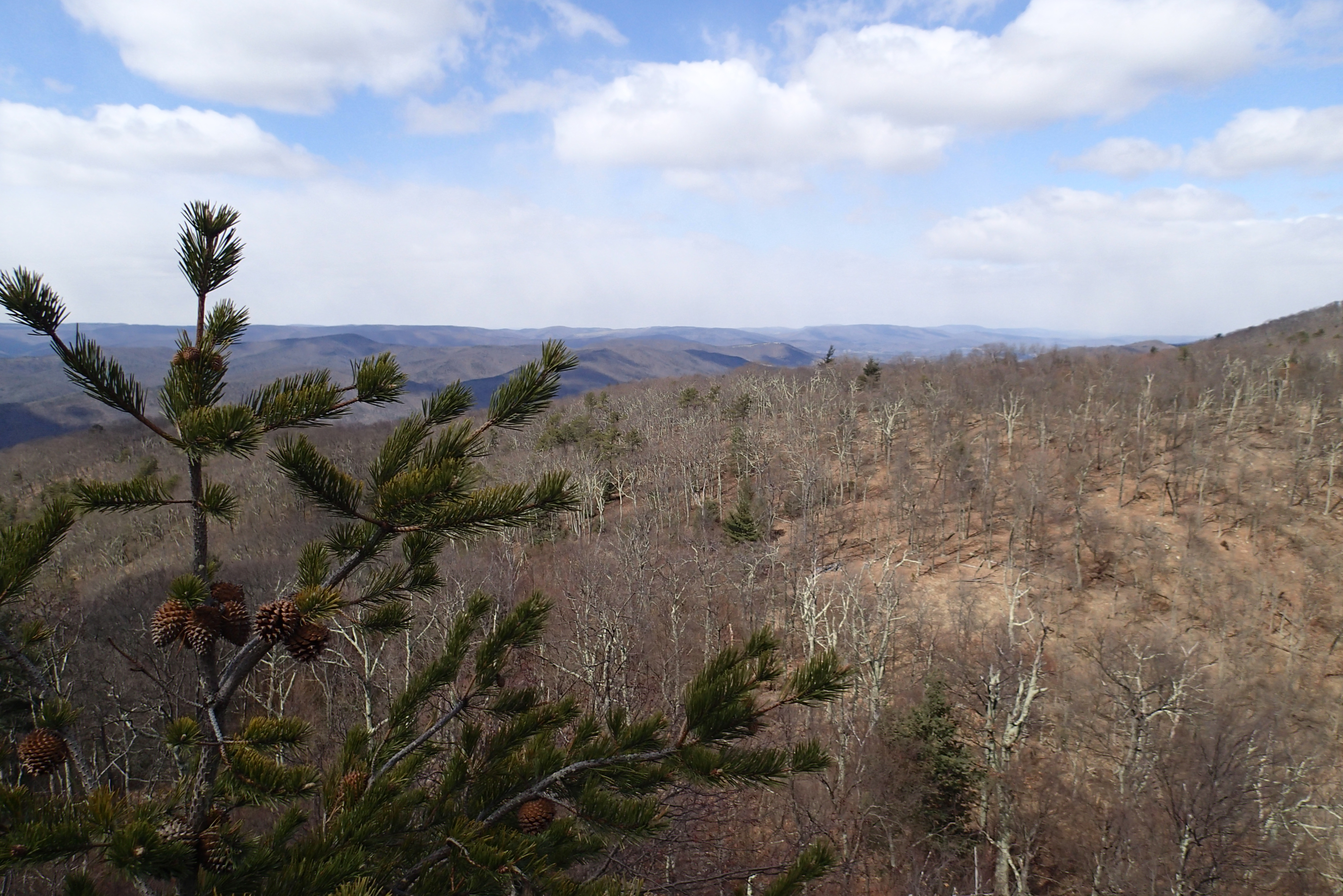
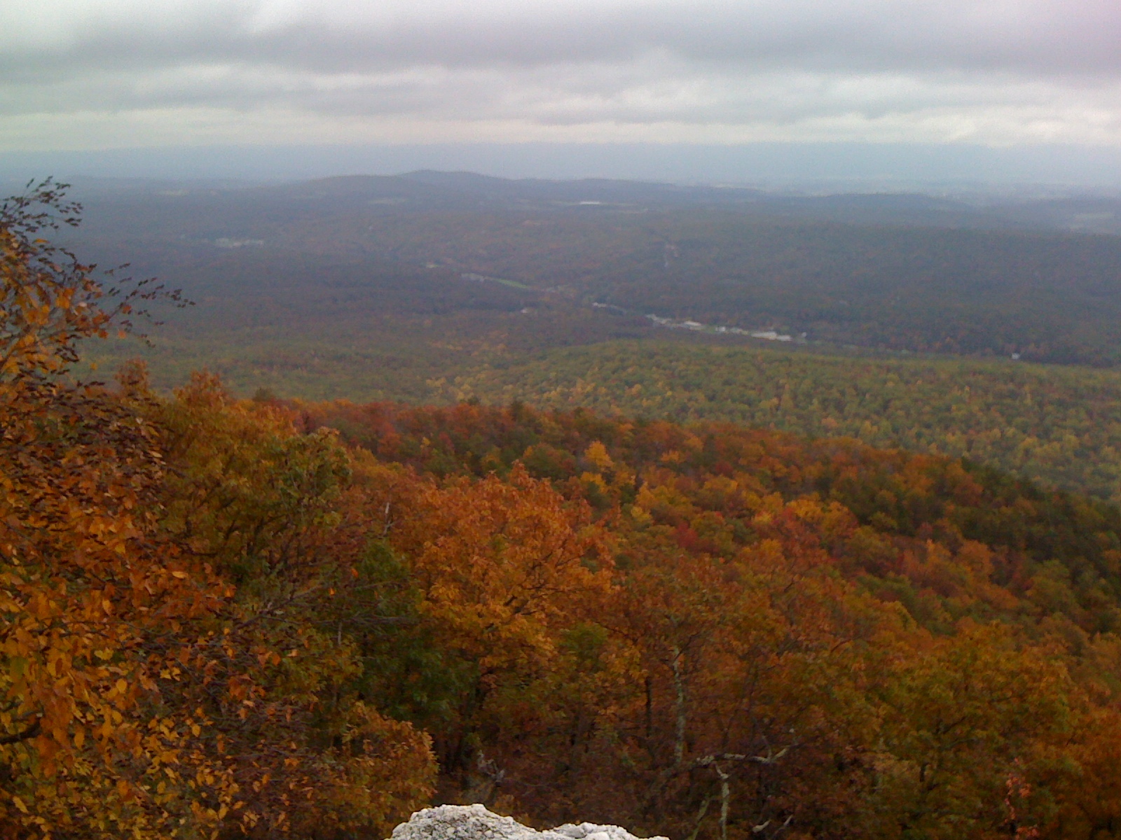
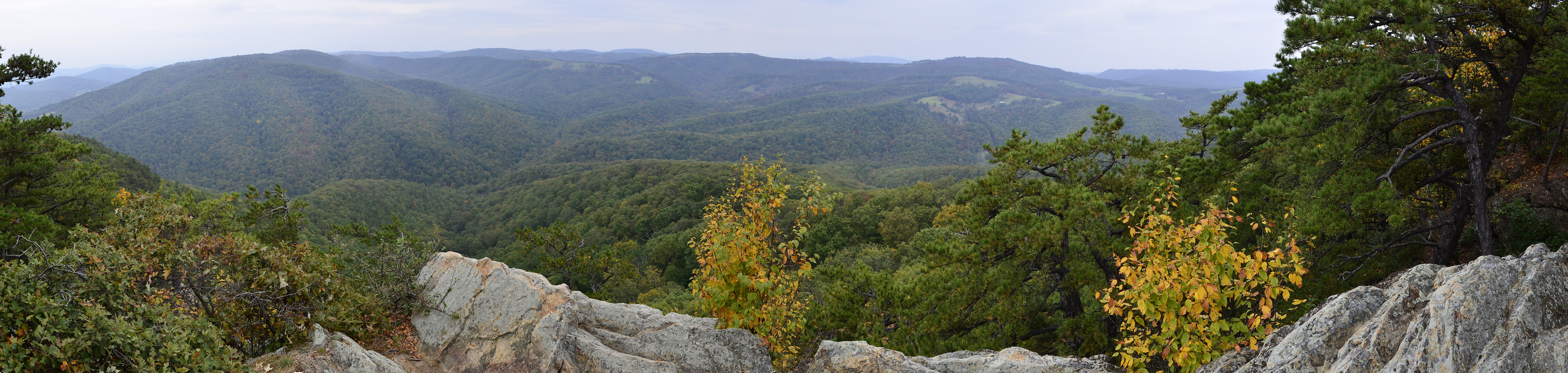
DSC01175 003 View Great North Mtn facing north
P3285514 05 View Forest Road Looking Back
P3295626 10 Church Rock View Center-Right
P3295624 10 Church Rock View Left-Center
P3285518 07 Jct View Ahead Tomahawk Pond Tr
P3285502 04 Jct View Looking Back at Tomahawk PondTr
P3285516 07 Jct View Looking Back at Tomahawk Pond Tr
P3285605 06 Jct View Looking at Social Short Cut

Photo Op
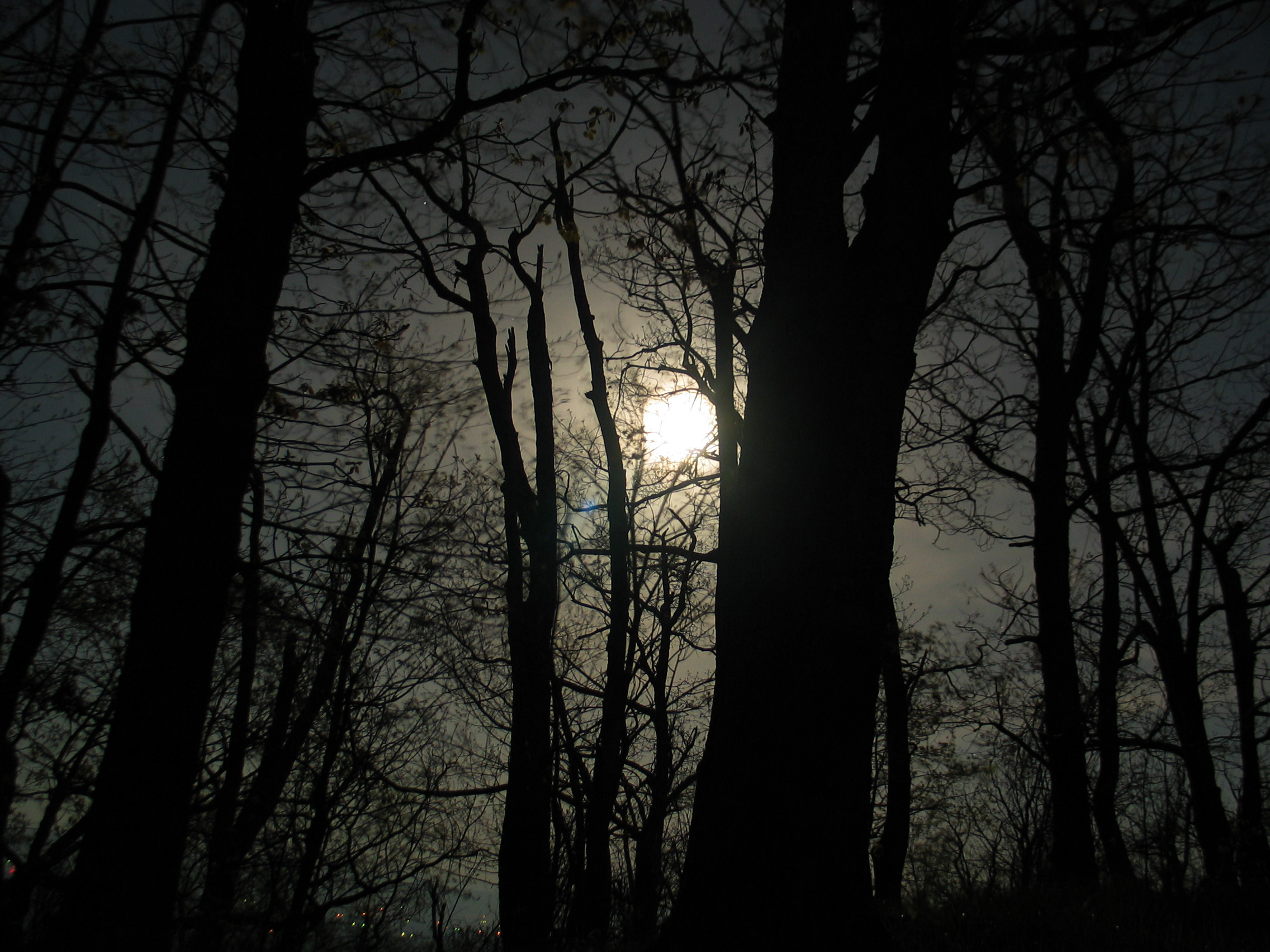
Moon Through Trees
North mt
West VA 121001_120rs
West VA 121001_103 pan s

2009 Parish Rereat-17
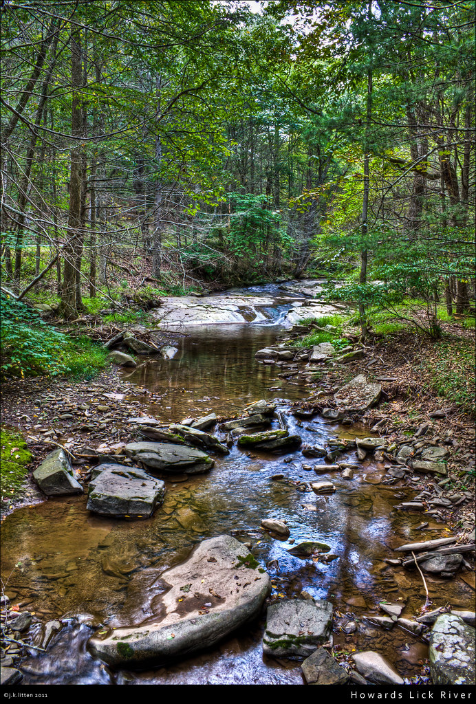
Howards Lick River

20090307-_MG_9667

DSC01316 009 FR 1851 jct SR 717
P3285496 03 Jct View Looking Back at Access Tr
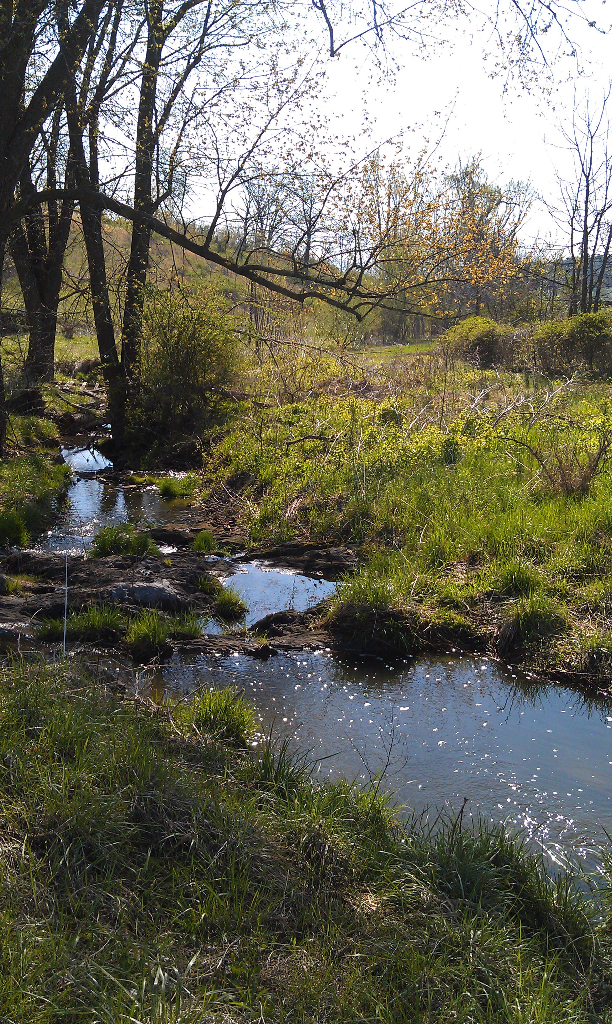
The Farm Stream in Spring
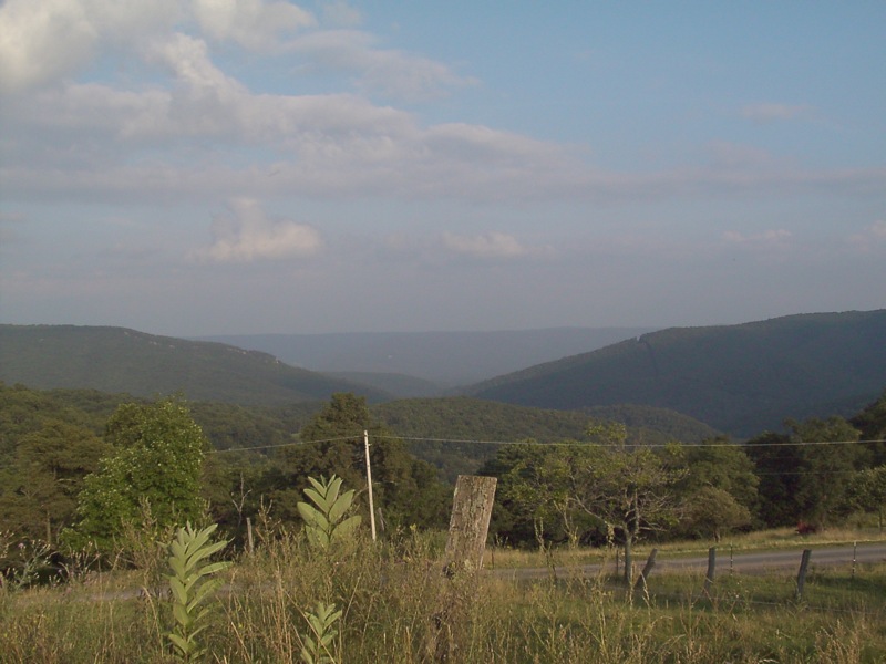
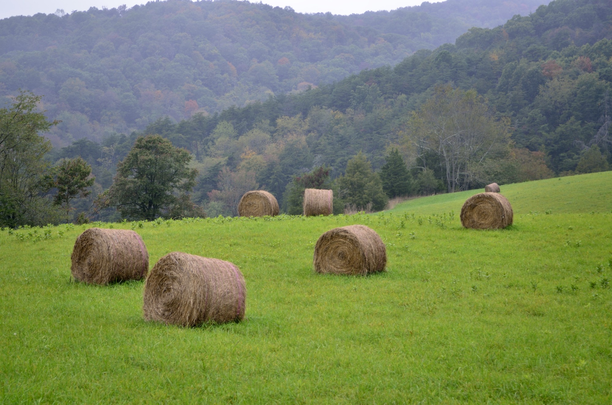
Mountains above farm
20090127-_MG_0145

First Box Turtle of the season, Church Mountain area of George Washington National Forest
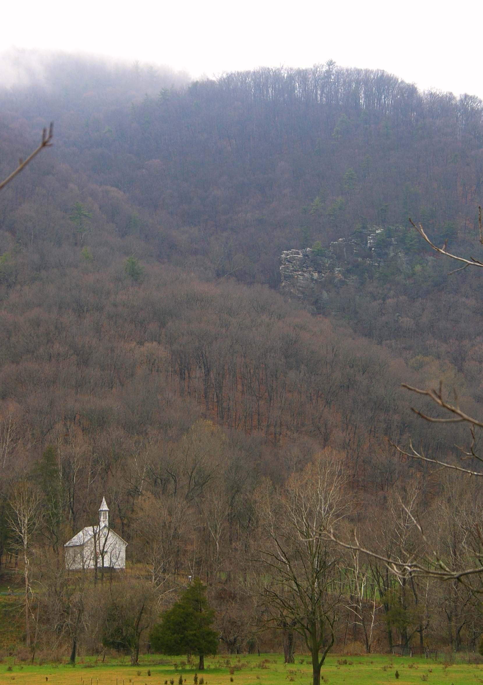
Zion Methodist Church, Milam, WV
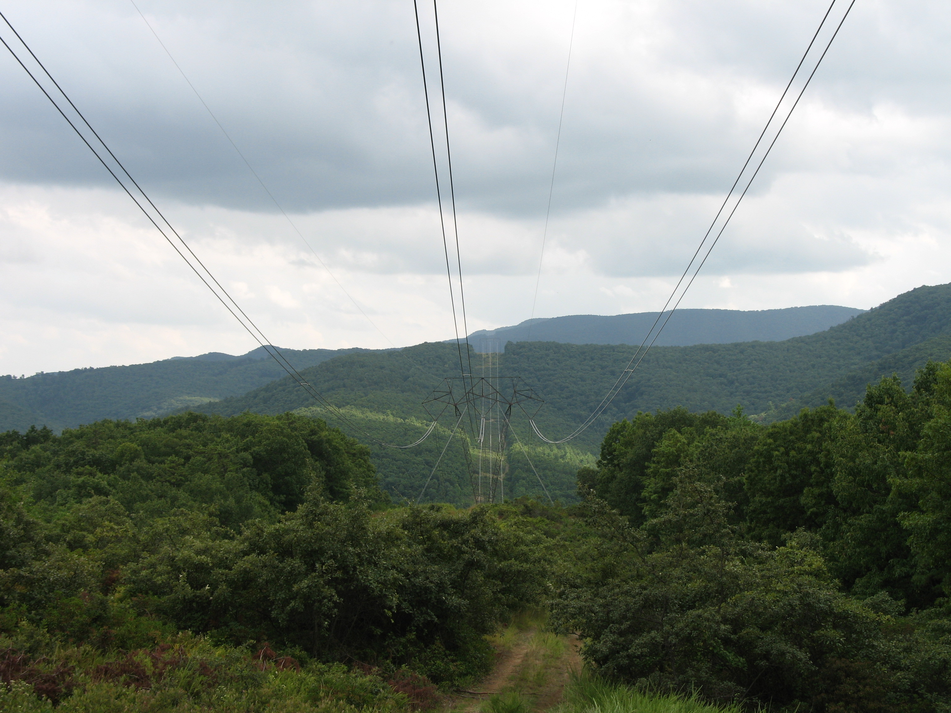
Power Lines.

Forestville, VA

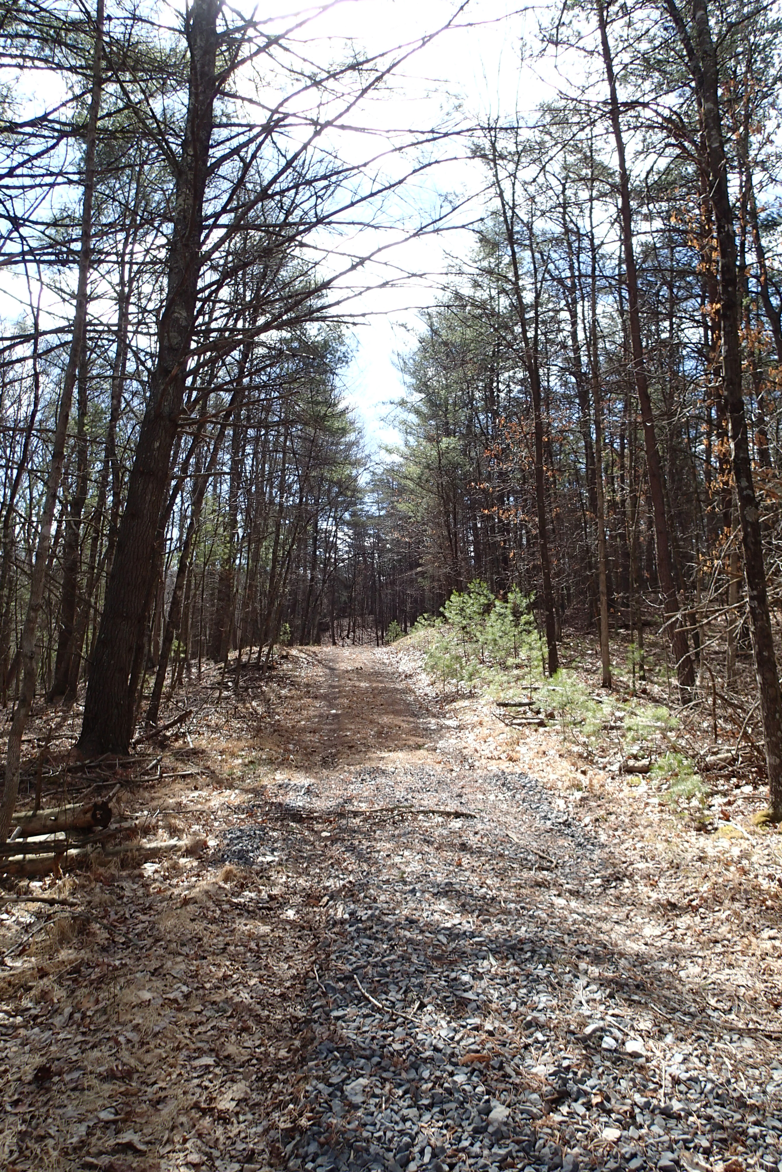
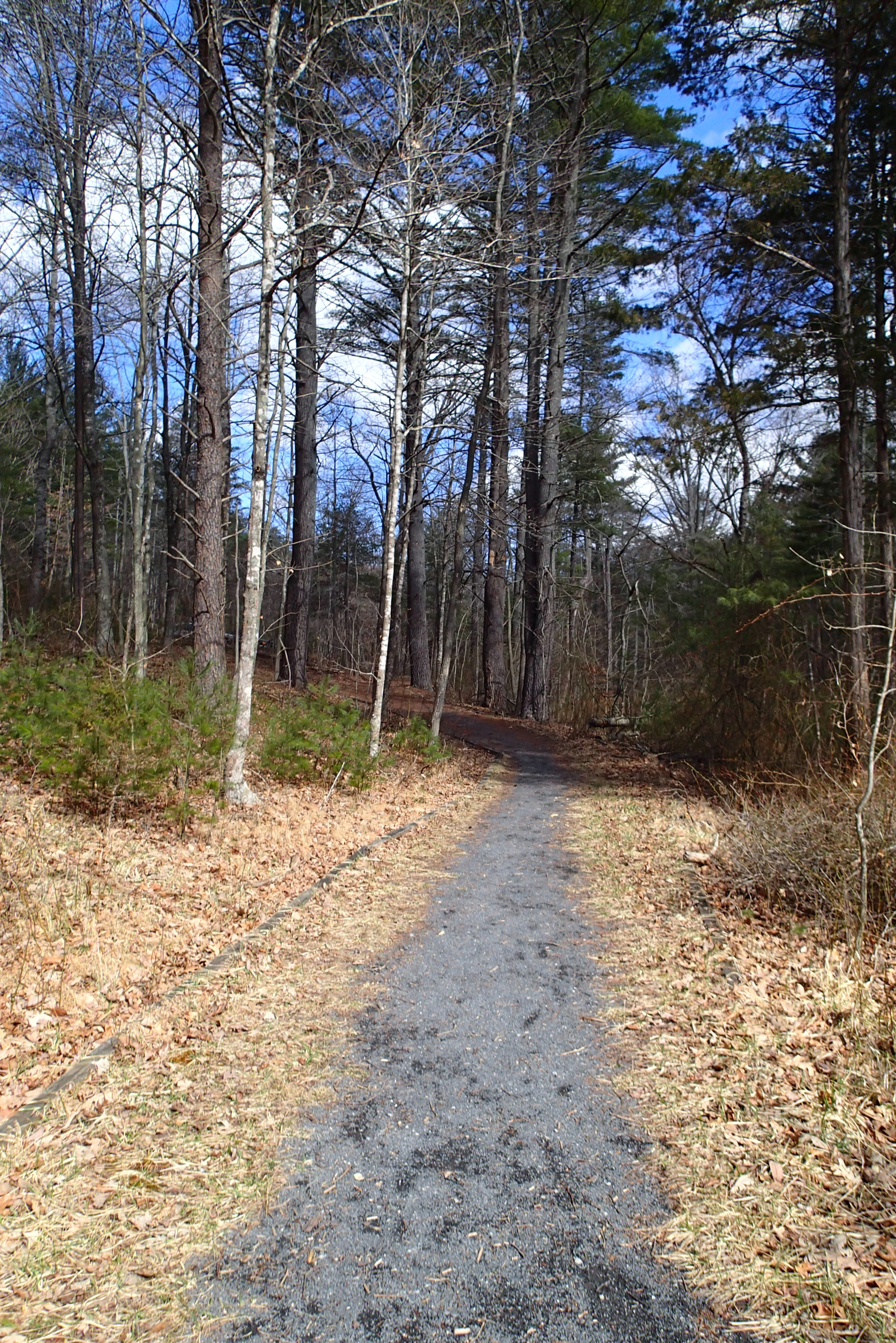
DSC01199 011 Road tapers to trail

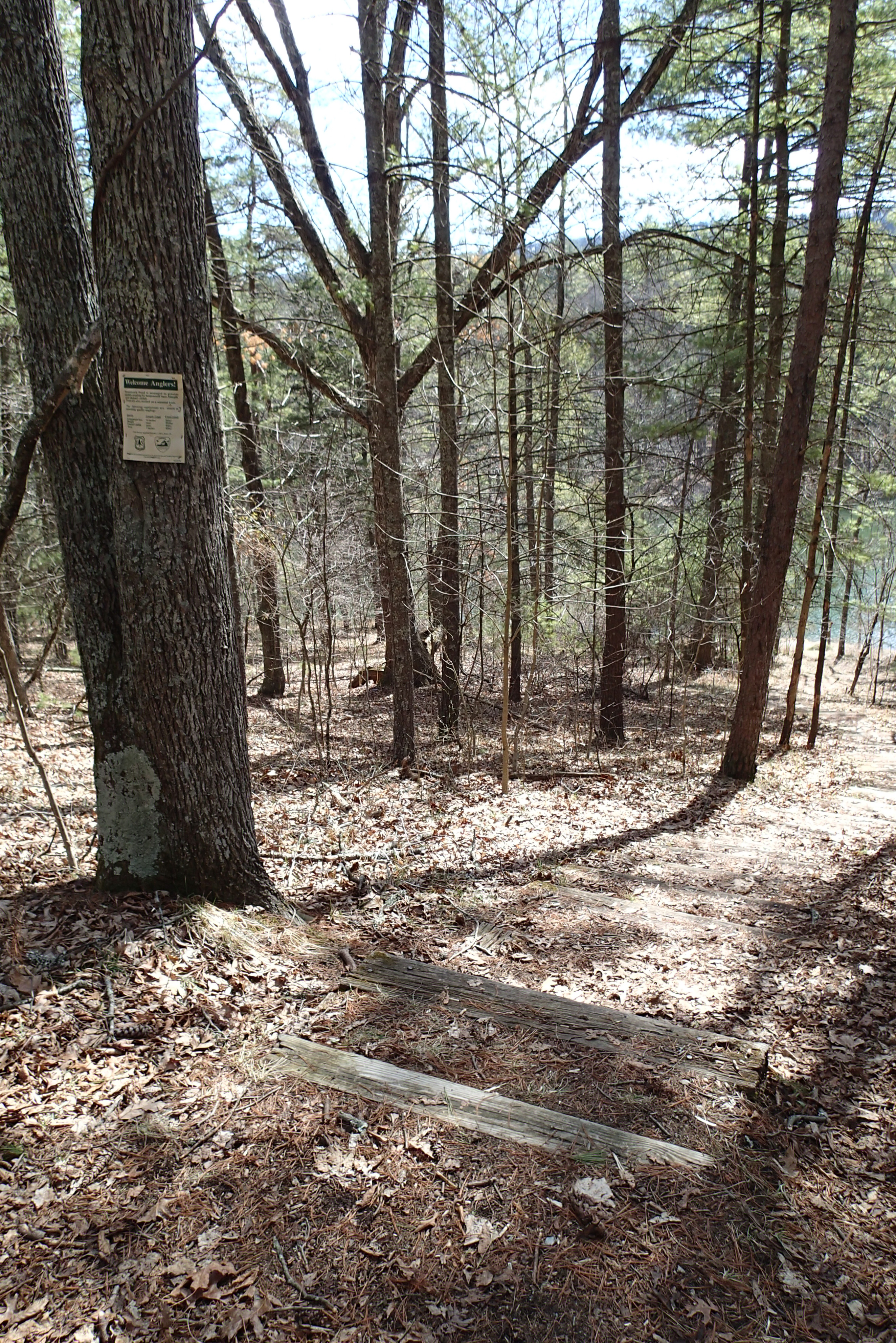
P3285588 03 TH Church Rock Tr Sign and Blazed Post
Topographic Map of Crab Run Rd, Bergton, VA, USA
Find elevation by address:

Places near Crab Run Rd, Bergton, VA, USA:
17938 Crab Run Rd
18140 Bergton Rd
16979 Bergton Rd
29292 Arbuckle Rd
Bergton
16633 Bergton Rd
19592 Clem Hollow Ln
20898 Souder Ln
Stultz Lane
Moyers Lane
Plains
Highland Retreat
810 Fallbush Mountain Dr
Mattie Snyder Road
21555 Overly Hollow
Criders
564 Delta Rd 2
21934 Bennett Run Rd
23148 Overly Hollow
23049 Overly Hollow
Recent Searches:
- Elevation of Corso Fratelli Cairoli, 35, Macerata MC, Italy
- Elevation of Tallevast Rd, Sarasota, FL, USA
- Elevation of 4th St E, Sonoma, CA, USA
- Elevation of Black Hollow Rd, Pennsdale, PA, USA
- Elevation of Oakland Ave, Williamsport, PA, USA
- Elevation of Pedrógão Grande, Portugal
- Elevation of Klee Dr, Martinsburg, WV, USA
- Elevation of Via Roma, Pieranica CR, Italy
- Elevation of Tavkvetili Mountain, Georgia
- Elevation of Hartfords Bluff Cir, Mt Pleasant, SC, USA