Elevation of Streets Ferry Rd, Vanceboro, NC, USA
Location: United States > North Carolina > Craven County > > Vanceboro >
Longitude: -77.145829
Latitude: 35.253208
Elevation: 4m / 13feet
Barometric Pressure: 101KPa
Elevation Map:
Satellite Map:
Related Photos:

Neuse River Expedition Finished
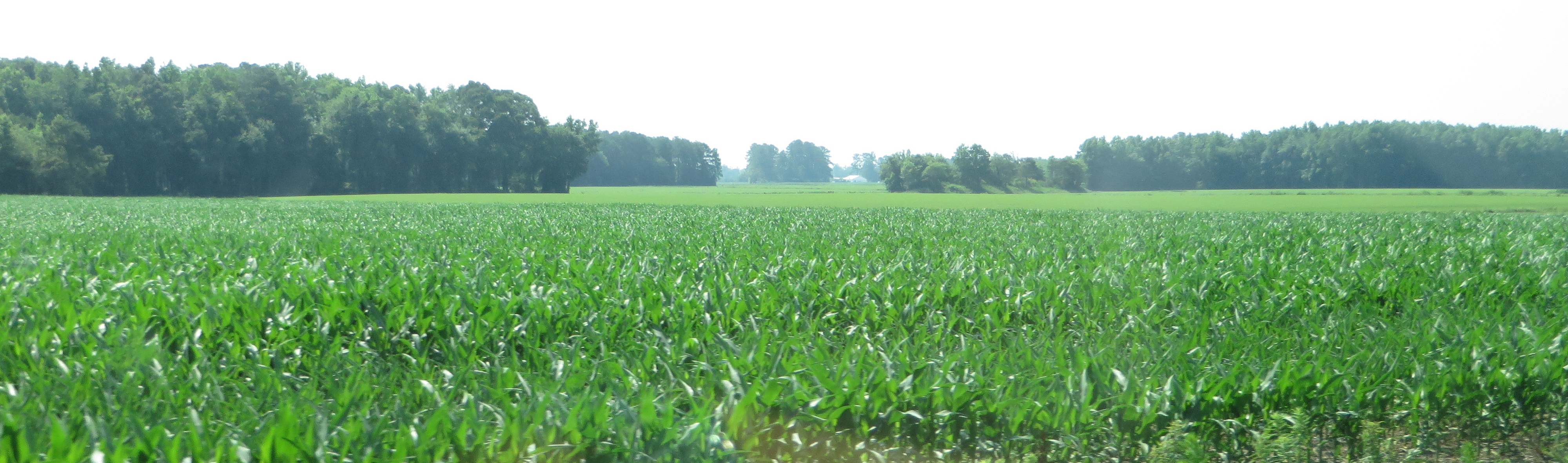
U.S. 17 Southbound, Vanceboro, North Carolina
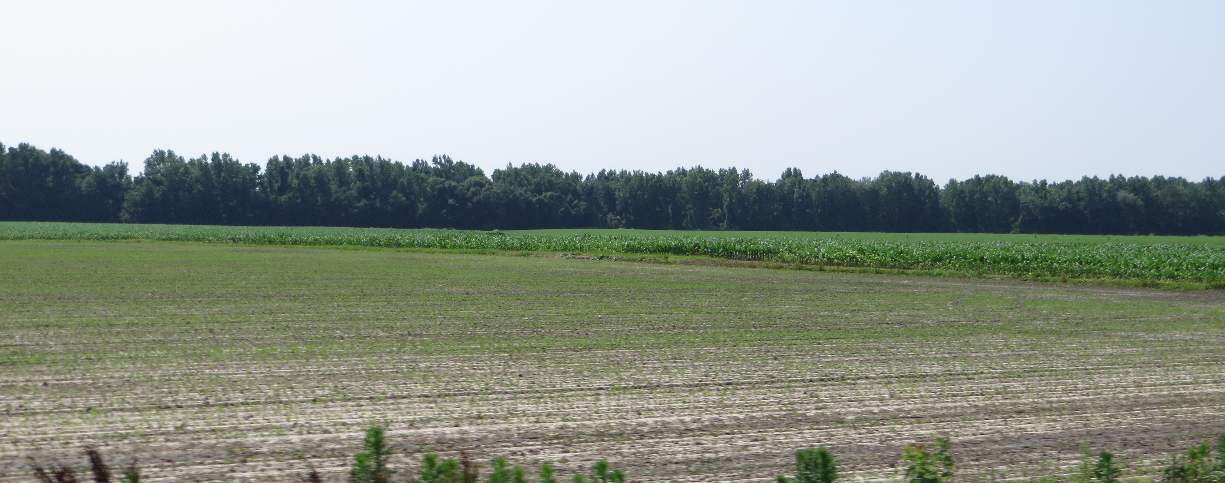
U.S. 17 Southbound, Vanceboro, North Carolina
Rest Area, U.S. 17 Southbound, Ernul, North Carolina

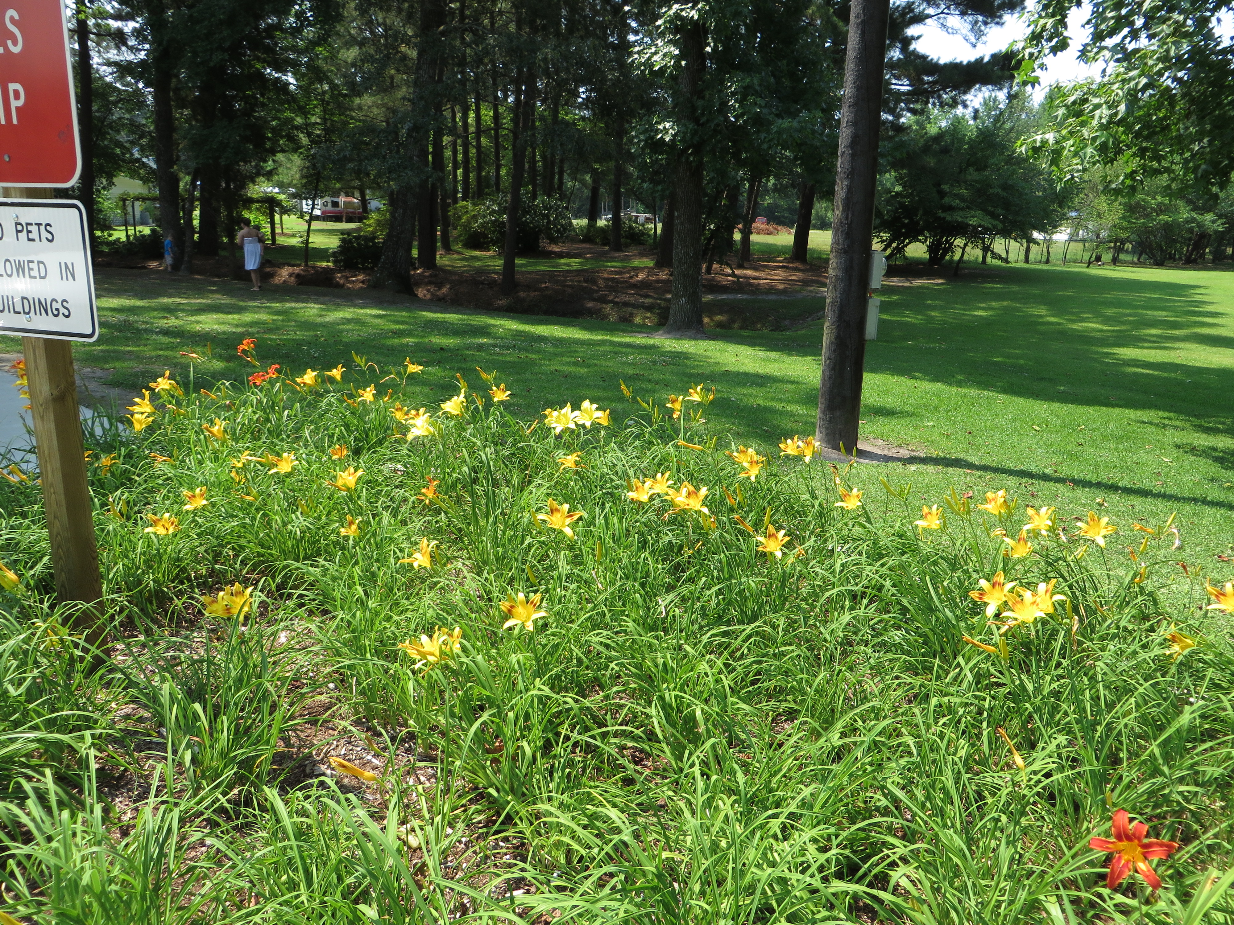
When Outside Comes In
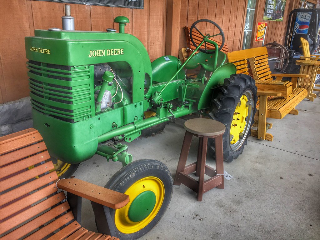
VINTAGE JOHN DEERE WITH RARE WOODEN SIDECAR

bread for me
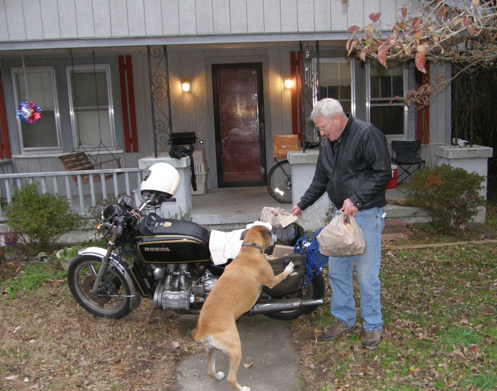
firewood delivery
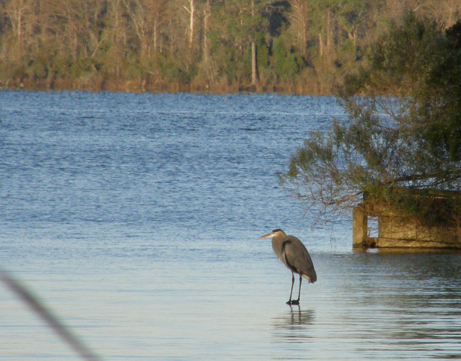
Heron at Jack Smith Creek
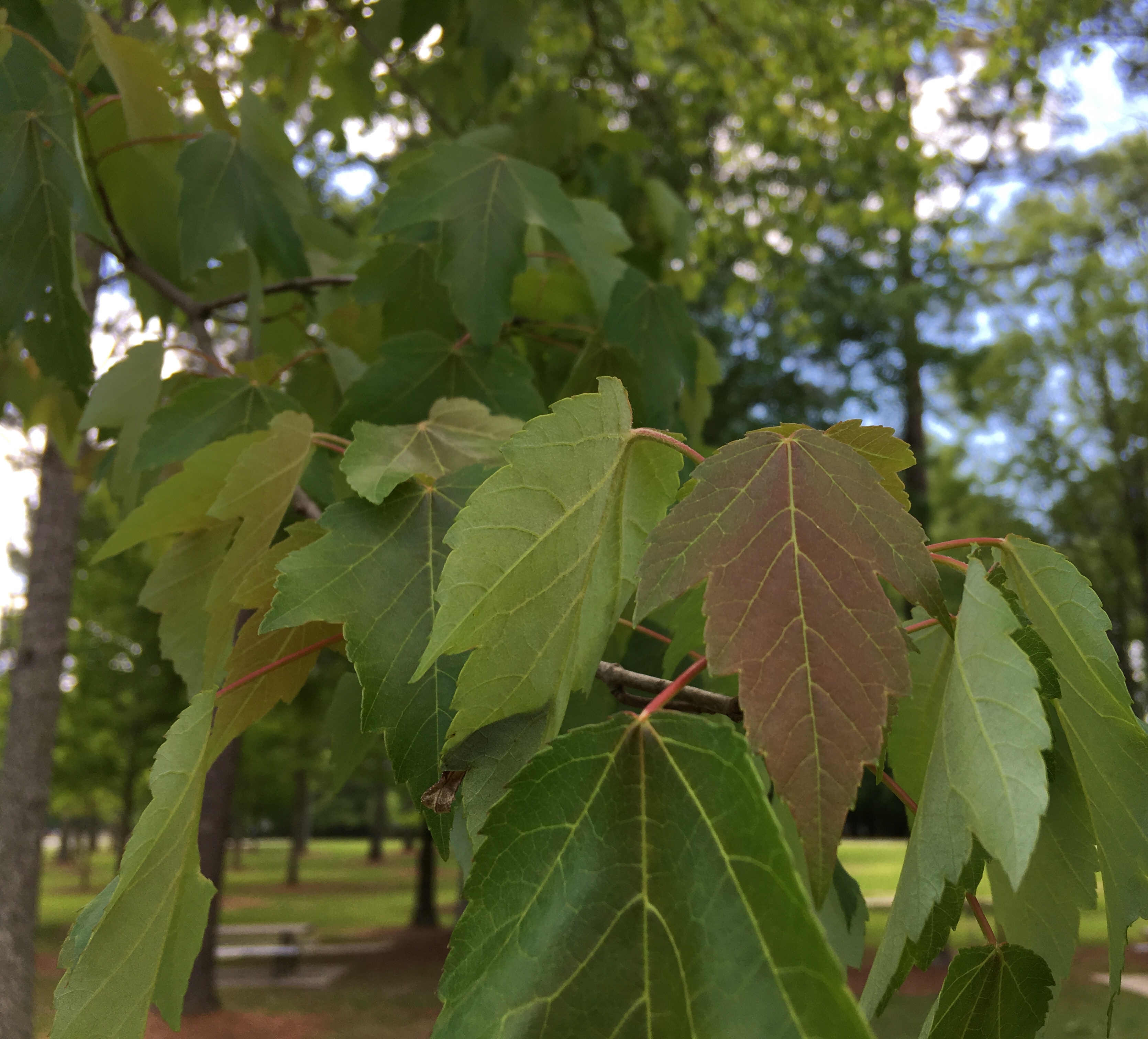
Spring!

101 coming soon
Topographic Map of Streets Ferry Rd, Vanceboro, NC, USA
Find elevation by address:

Places near Streets Ferry Rd, Vanceboro, NC, USA:
170 Spring Meadows Rd
1995 Streets Ferry Rd
385 Cow Pen Landing Rd
Cow Pen Landing Road
Sterling Drive
103 Ellis Ct
1050 Streets Ferry Rd
Cow Pen Landing
102 Sasafras Dr
1970 Piney Neck Rd
234 Stoney Branch Rd
228 Stoney Branch Rd
215 Stoney Branch Rd
102 Hopewell Ct
Pate Road
Pate Road
210 Pate Rd
100 Streets Ferry Rd
107 Stoney Branch Rd
1785 Weyerhaeuser Rd
Recent Searches:
- Elevation of Corso Fratelli Cairoli, 35, Macerata MC, Italy
- Elevation of Tallevast Rd, Sarasota, FL, USA
- Elevation of 4th St E, Sonoma, CA, USA
- Elevation of Black Hollow Rd, Pennsdale, PA, USA
- Elevation of Oakland Ave, Williamsport, PA, USA
- Elevation of Pedrógão Grande, Portugal
- Elevation of Klee Dr, Martinsburg, WV, USA
- Elevation of Via Roma, Pieranica CR, Italy
- Elevation of Tavkvetili Mountain, Georgia
- Elevation of Hartfords Bluff Cir, Mt Pleasant, SC, USA