Elevation of Sterling Drive, Sterling Dr, 1, NC, USA
Location: United States > North Carolina > Craven County > > Vanceboro >
Longitude: -77.136426
Latitude: 35.2412687
Elevation: 4m / 13feet
Barometric Pressure: 101KPa
Elevation Map:
Satellite Map:
Related Photos:

Tressel Grass
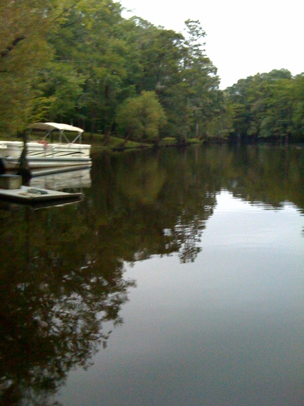
Neuse River Expedition Finished
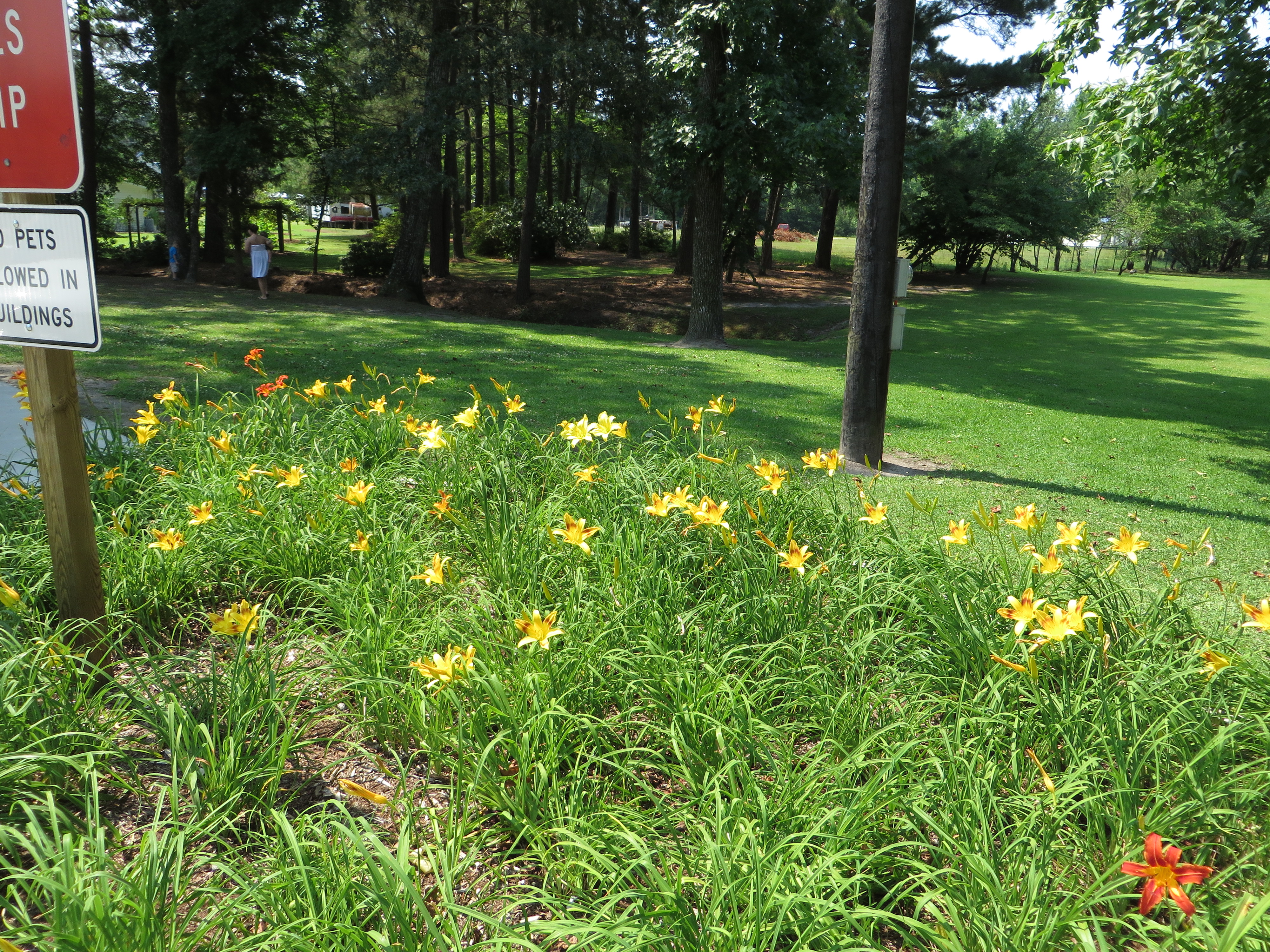
Rest Area, U.S. 17 Southbound, Ernul, North Carolina
...who forgot to close the door?
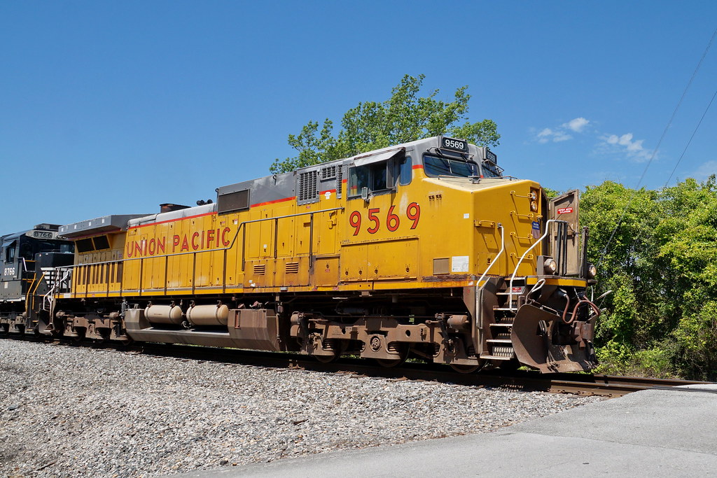
Freight yard

My lil tired cheerleader!!!
...eastbound
Topographic Map of Sterling Drive, Sterling Dr, 1, NC, USA
Find elevation by address:

Places near Sterling Drive, Sterling Dr, 1, NC, USA:
1995 Streets Ferry Rd
102 Sasafras Dr
170 Spring Meadows Rd
1880 Streets Ferry Rd
385 Cow Pen Landing Rd
Cow Pen Landing Road
1785 Weyerhaeuser Rd
Cow Pen Landing
102 Hopewell Ct
234 Stoney Branch Rd
228 Stoney Branch Rd
103 Ellis Ct
Pate Road
Pate Road
215 Stoney Branch Rd
210 Pate Rd
1050 Streets Ferry Rd
137 Nw Craven Middle School Rd
770 Willis Neck Rd
107 Stoney Branch Rd
Recent Searches:
- Elevation of Corso Fratelli Cairoli, 35, Macerata MC, Italy
- Elevation of Tallevast Rd, Sarasota, FL, USA
- Elevation of 4th St E, Sonoma, CA, USA
- Elevation of Black Hollow Rd, Pennsdale, PA, USA
- Elevation of Oakland Ave, Williamsport, PA, USA
- Elevation of Pedrógão Grande, Portugal
- Elevation of Klee Dr, Martinsburg, WV, USA
- Elevation of Via Roma, Pieranica CR, Italy
- Elevation of Tavkvetili Mountain, Georgia
- Elevation of Hartfords Bluff Cir, Mt Pleasant, SC, USA