Elevation map of Strathbogie Shire, Strathbogie, VIC, Australia
Location: Australia > Victoria >
Longitude: 145.402868
Latitude: -36.8485857
Elevation: 259m / 850feet
Barometric Pressure: 0KPa
Related Photos:

Views Along the Road in country Vic

Riffles for spawning

Sunset colors

Longwood Load

Longwood Loco

John Torcasio: Outdoor

BGTY 01401 M

BGTY 01403 H

BGTY 01404 Q

BGTY 01405 C

BGTY 01406 L
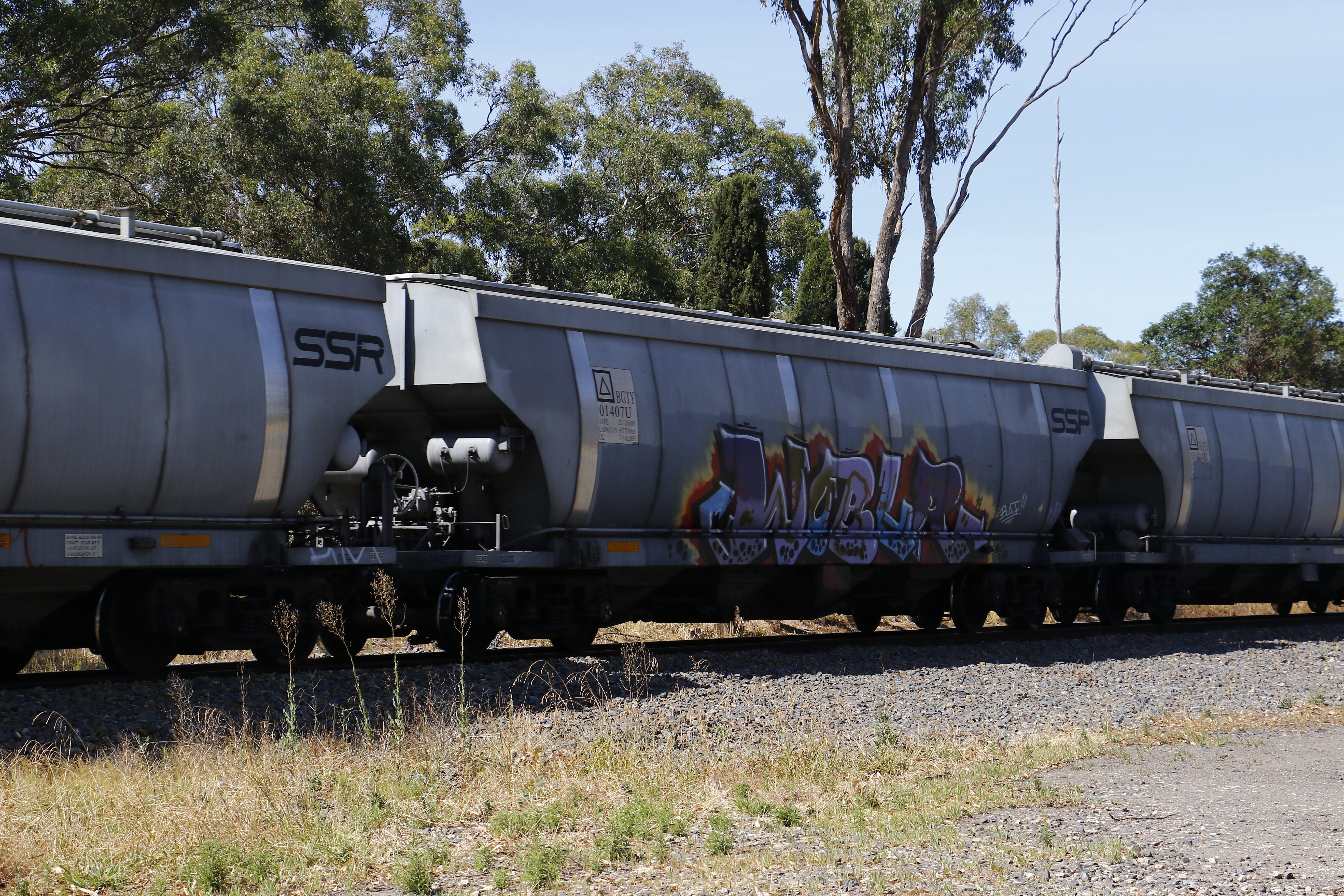
BGTY 01407 U

BGTY 01408 G

BGTY 01409 P

BGTY 01410 L
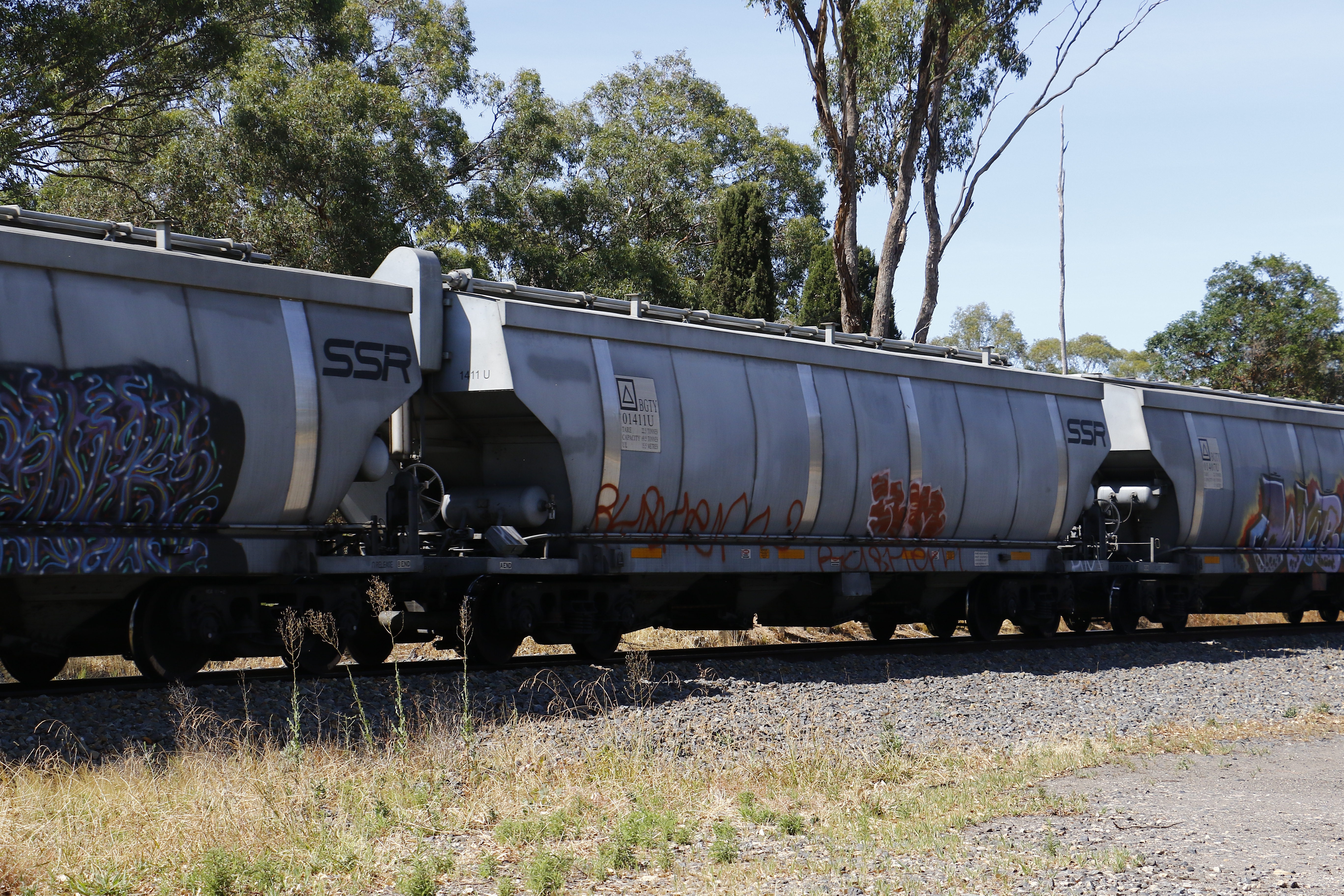
BGTY 01411 U

BGTY 01412 G

BGTY 01414 B
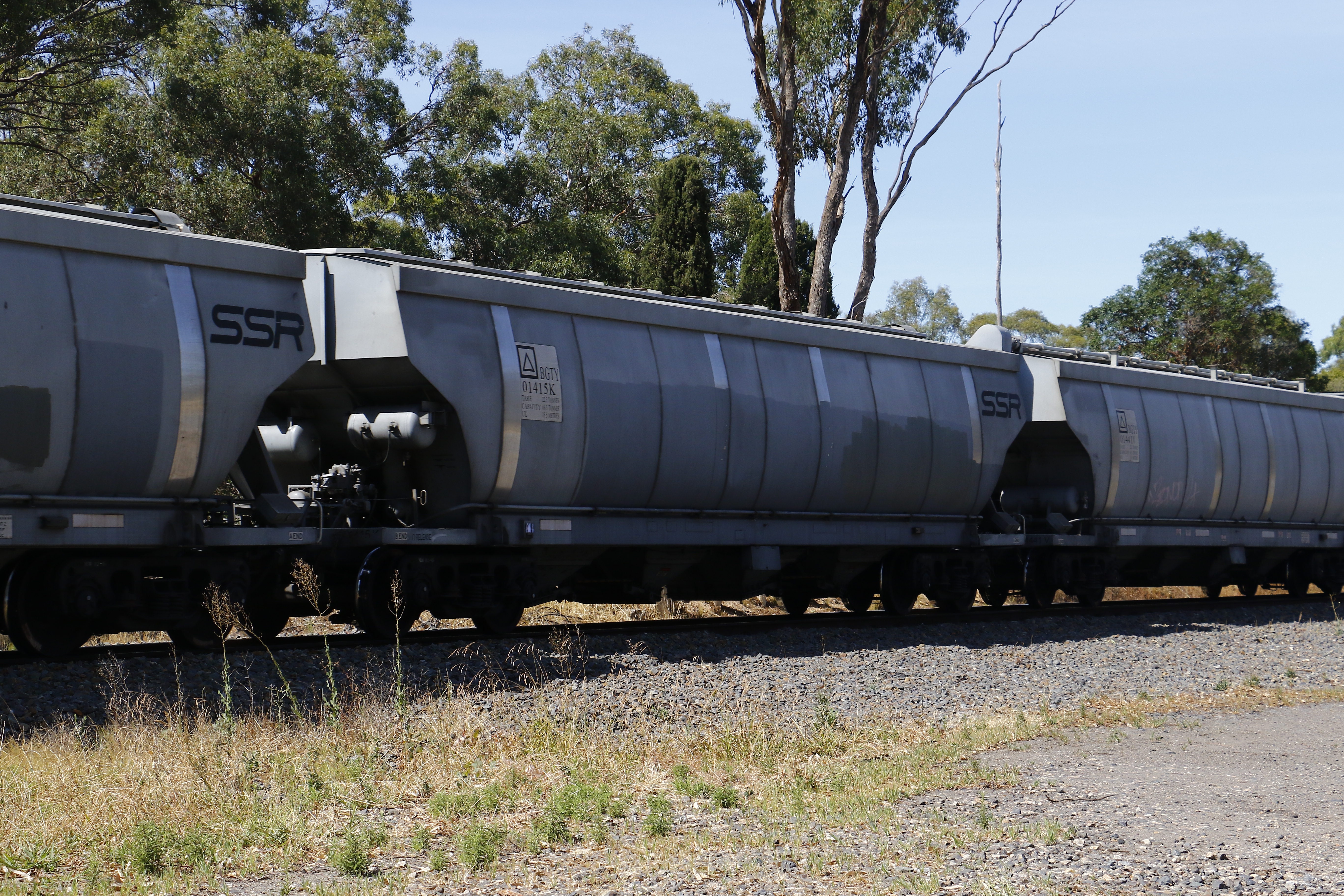
BGTY 01415 K

BGTY 01416 T

BGTY 01417 F

BGTY 01418 Y

BGTY 01419 A

BGTY 01420 T
Topographic Map of Strathbogie Shire, Strathbogie, VIC, Australia
Find elevation by address:

Places in Strathbogie Shire, Strathbogie, VIC, Australia:
Places near Strathbogie Shire, Strathbogie, VIC, Australia:
Euroa
26 Station St
Murchison
Meadows Lane
Merton
Yea
259 High St
Violet Town
Rushworth
Hilldene
125 Clydesdale Rd
Ancona
Alexandra
5 Taylor St
917 Dry Creek Rd
143 Moses Ln
Mitchell Shire
26a The Parade
Broadford
Long Gully Road
Recent Searches:
- Elevation of Jiezi, Chongzhou City, Sichuan, China
- Elevation of Chongzhou City, Sichuan, China
- Elevation of Huaiyuan, Chongzhou City, Sichuan, China
- Elevation of Qingxia, Chengdu, Sichuan, China
- Elevation of Corso Fratelli Cairoli, 35, Macerata MC, Italy
- Elevation of Tallevast Rd, Sarasota, FL, USA
- Elevation of 4th St E, Sonoma, CA, USA
- Elevation of Black Hollow Rd, Pennsdale, PA, USA
- Elevation of Oakland Ave, Williamsport, PA, USA
- Elevation of Pedrógão Grande, Portugal
- Elevation of Klee Dr, Martinsburg, WV, USA
- Elevation of Via Roma, Pieranica CR, Italy
- Elevation of Tavkvetili Mountain, Georgia
- Elevation of Hartfords Bluff Cir, Mt Pleasant, SC, USA
- Elevation of SW Barberry Dr, Beaverton, OR, USA
- Elevation of Old Ahsahka Grade, Ahsahka, ID, USA
- Elevation of State Hwy F, Pacific, MO, USA
- Elevation of Chemin de Bel air, Chem. de Bel air, Mougins, France
- Elevation of Cloverdale Dr, Bloomingdale, GA, USA
- Elevation of 3FPP+WP4, Alajuela Province, San Ramon, Costa Rica