Elevation of Stonewall Rd NE, Check, VA, USA
Location: United States > Virginia > Floyd County > Little River >
Longitude: -80.251647
Latitude: 37.019601
Elevation: 773m / 2536feet
Barometric Pressure: 92KPa
Elevation Map:
Satellite Map:
Related Photos:

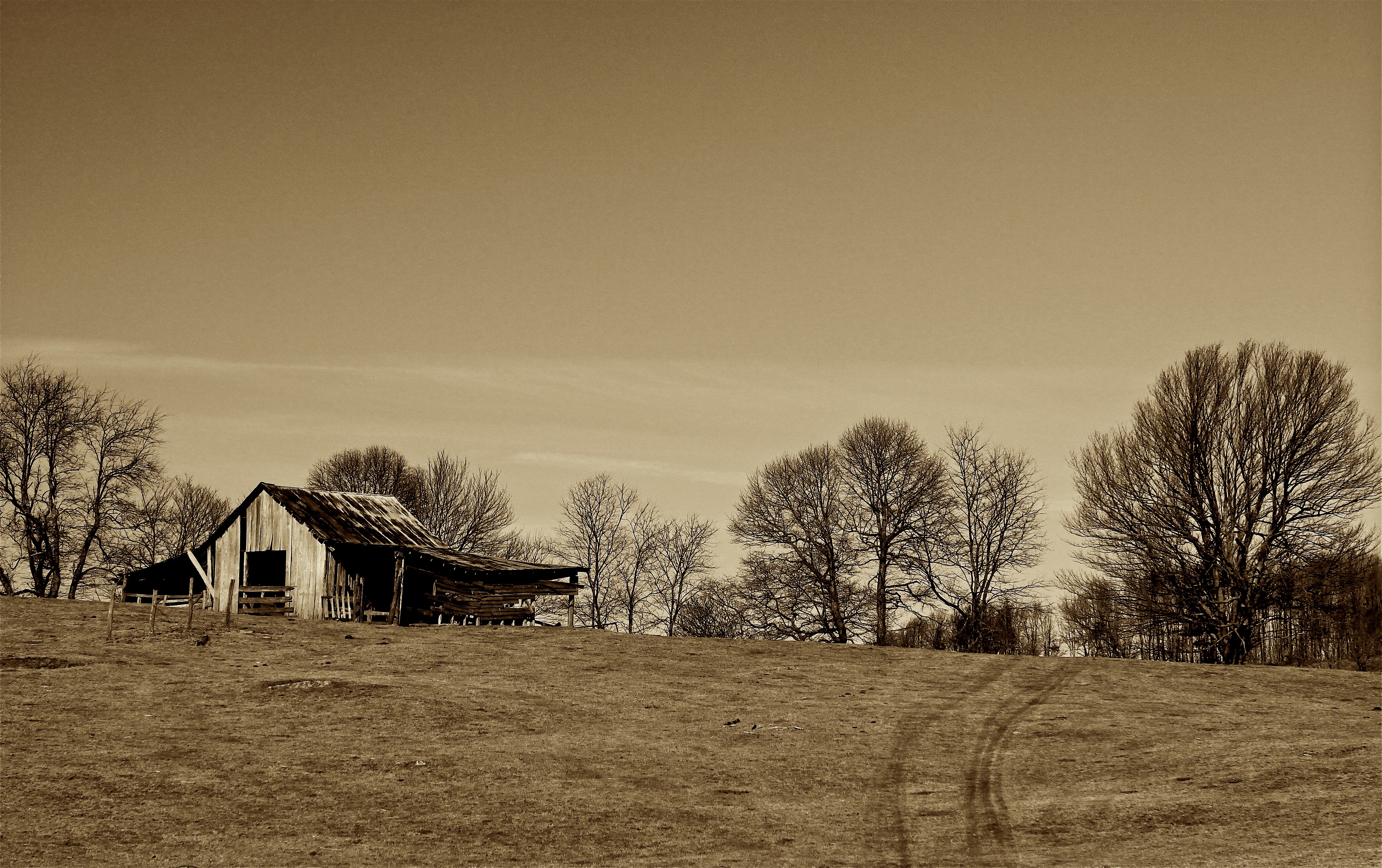
The Saint
Floyd County

Jamboree @ The Floyd Country Store
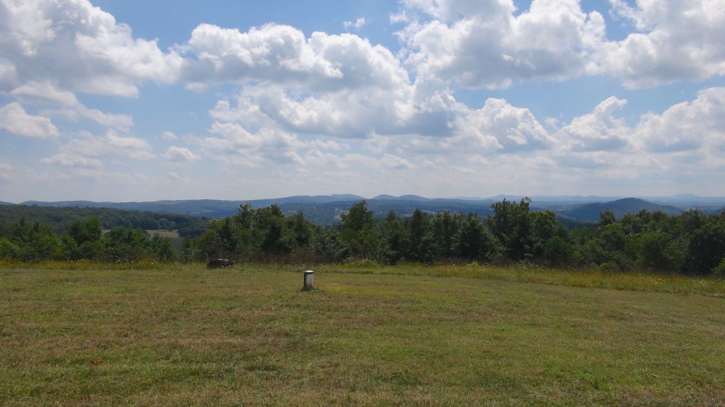
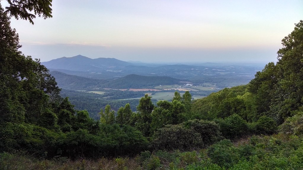
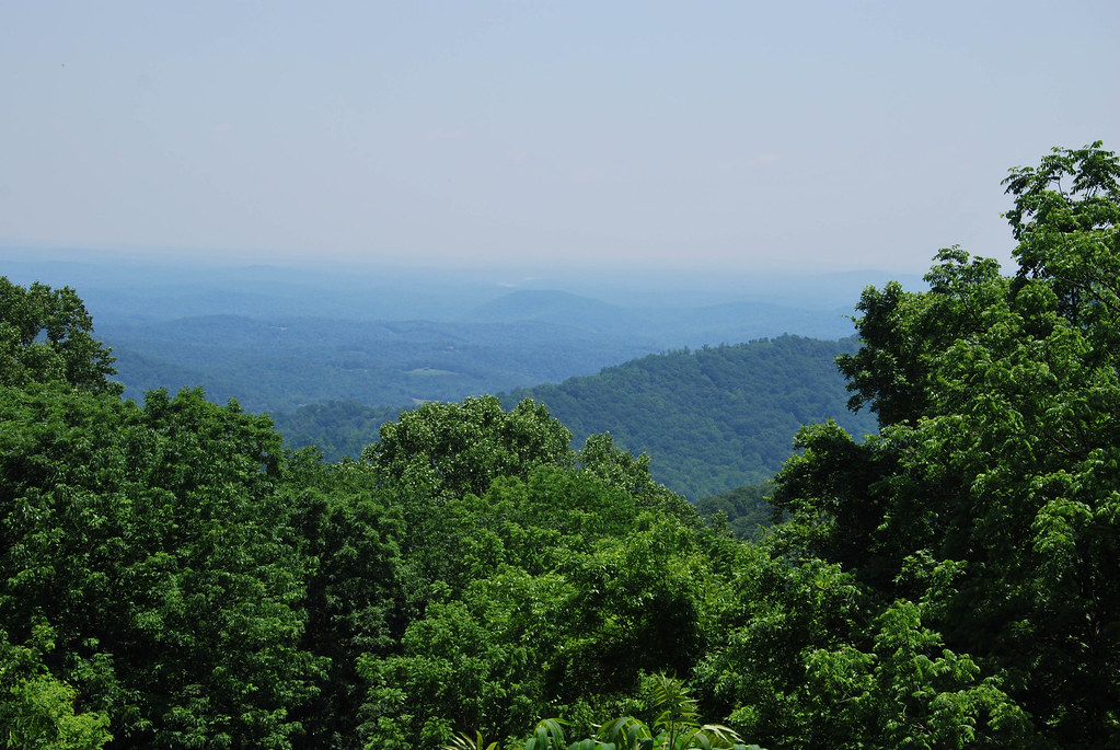
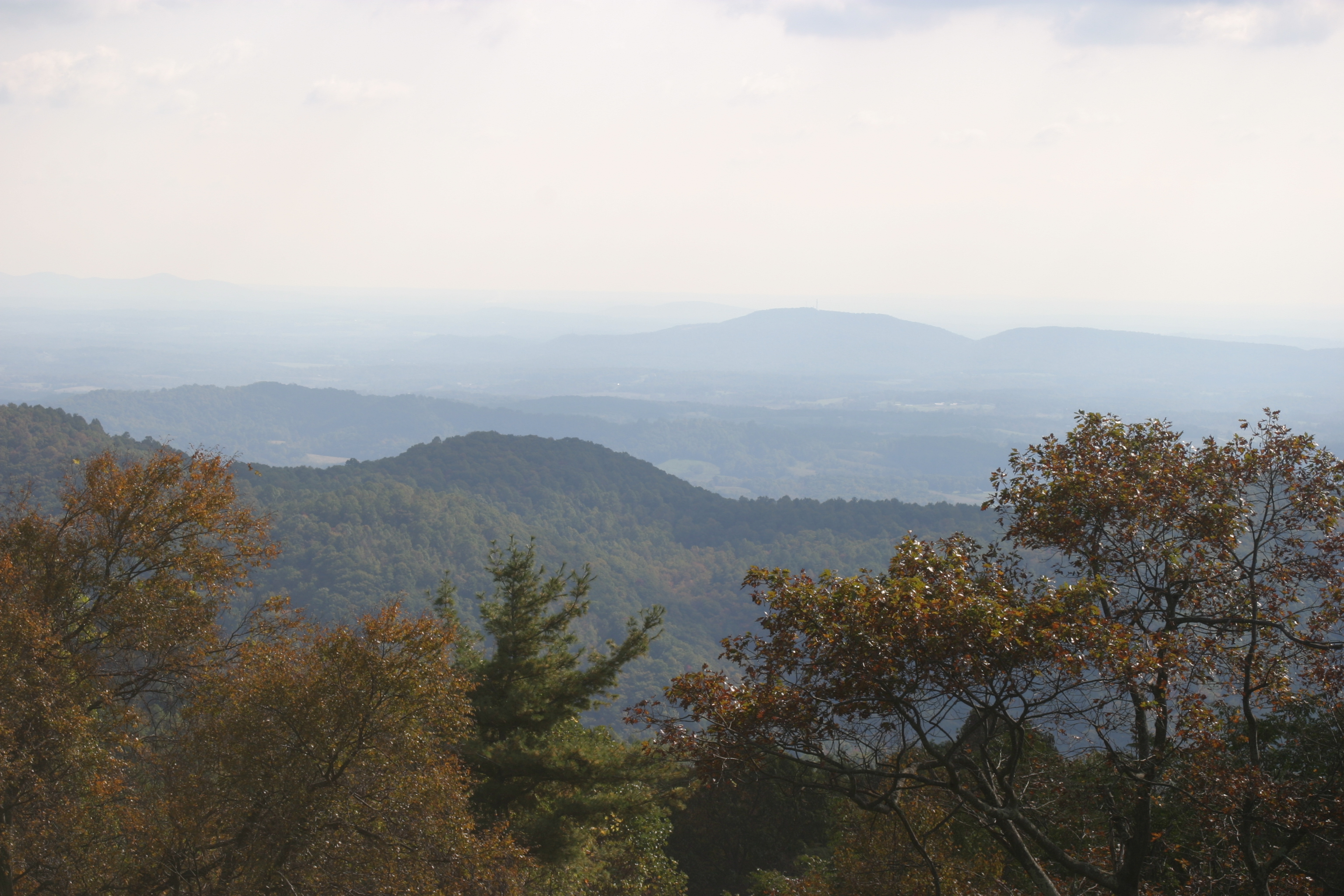
Nice view from floyd

checking out the view
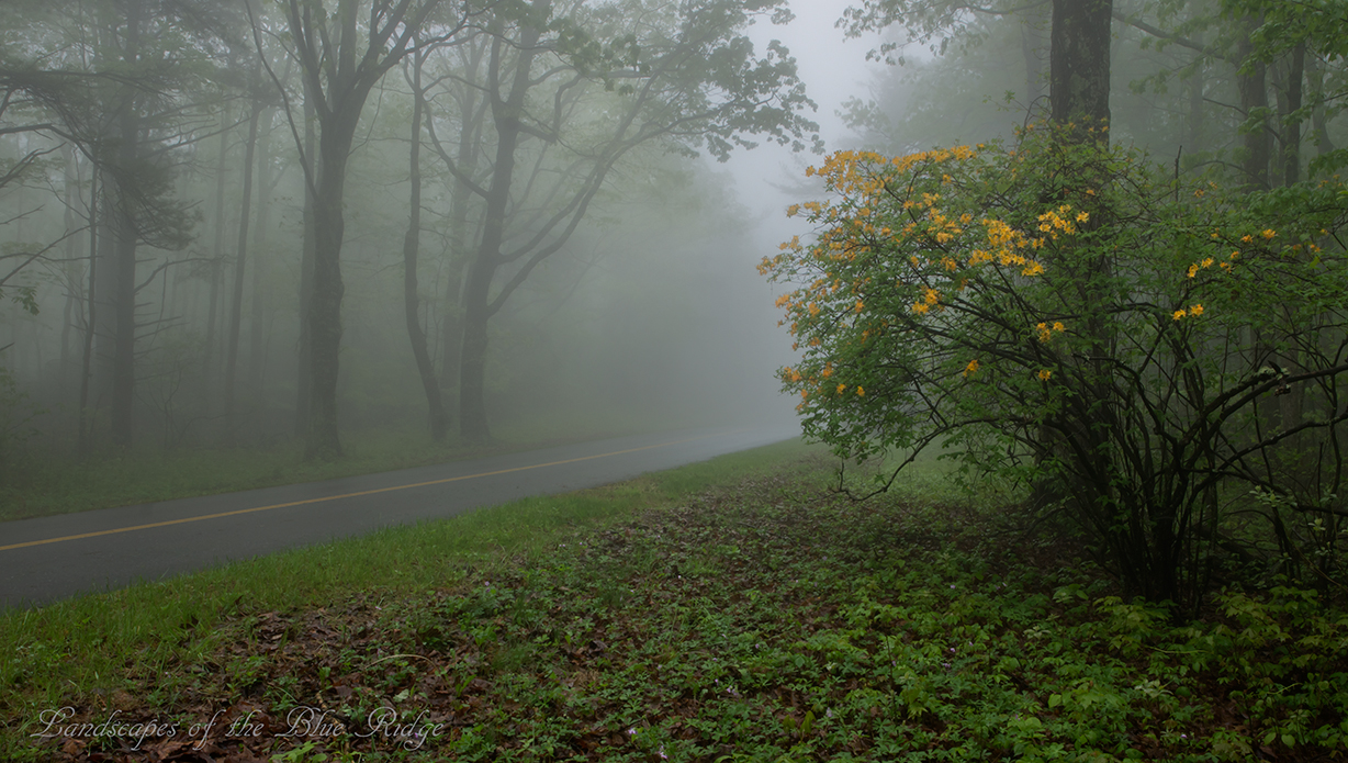
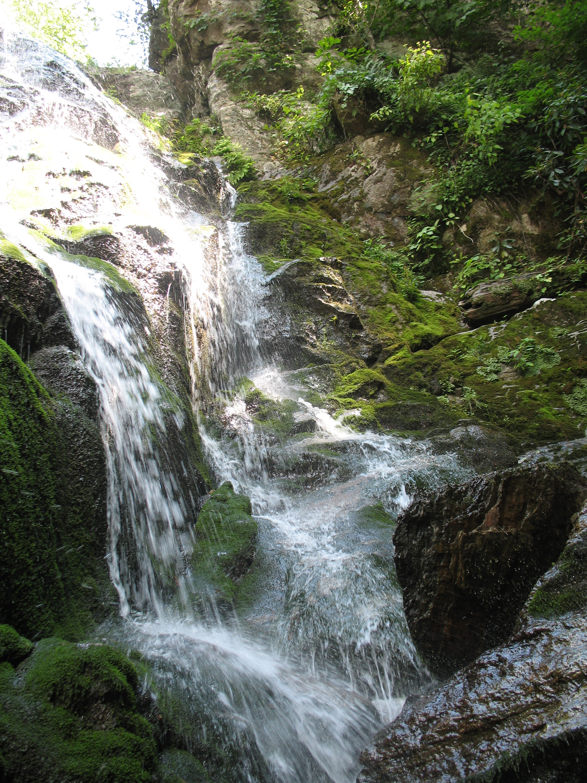
Flame in the Fog

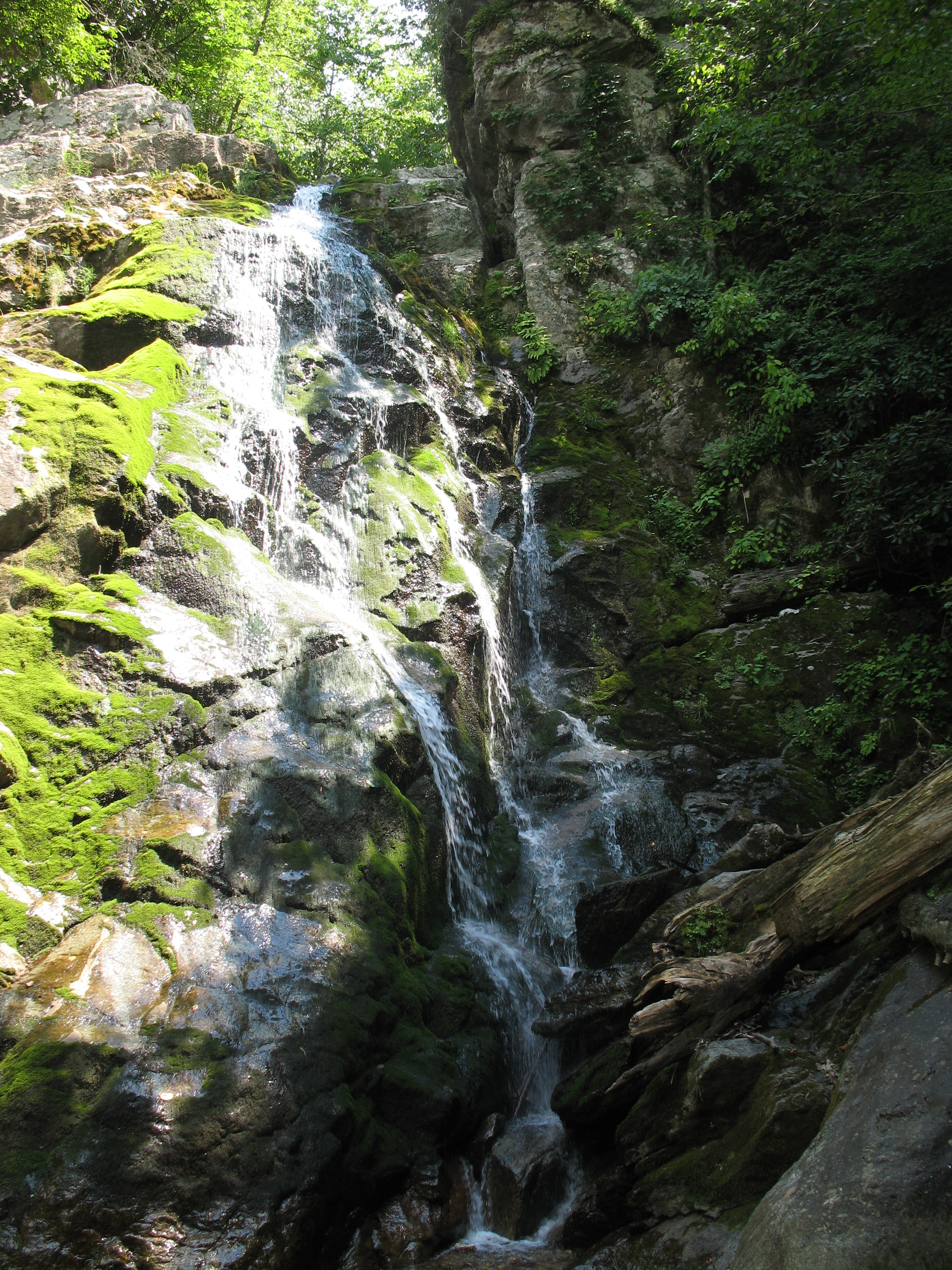
Two Roads Diverged in a Wood

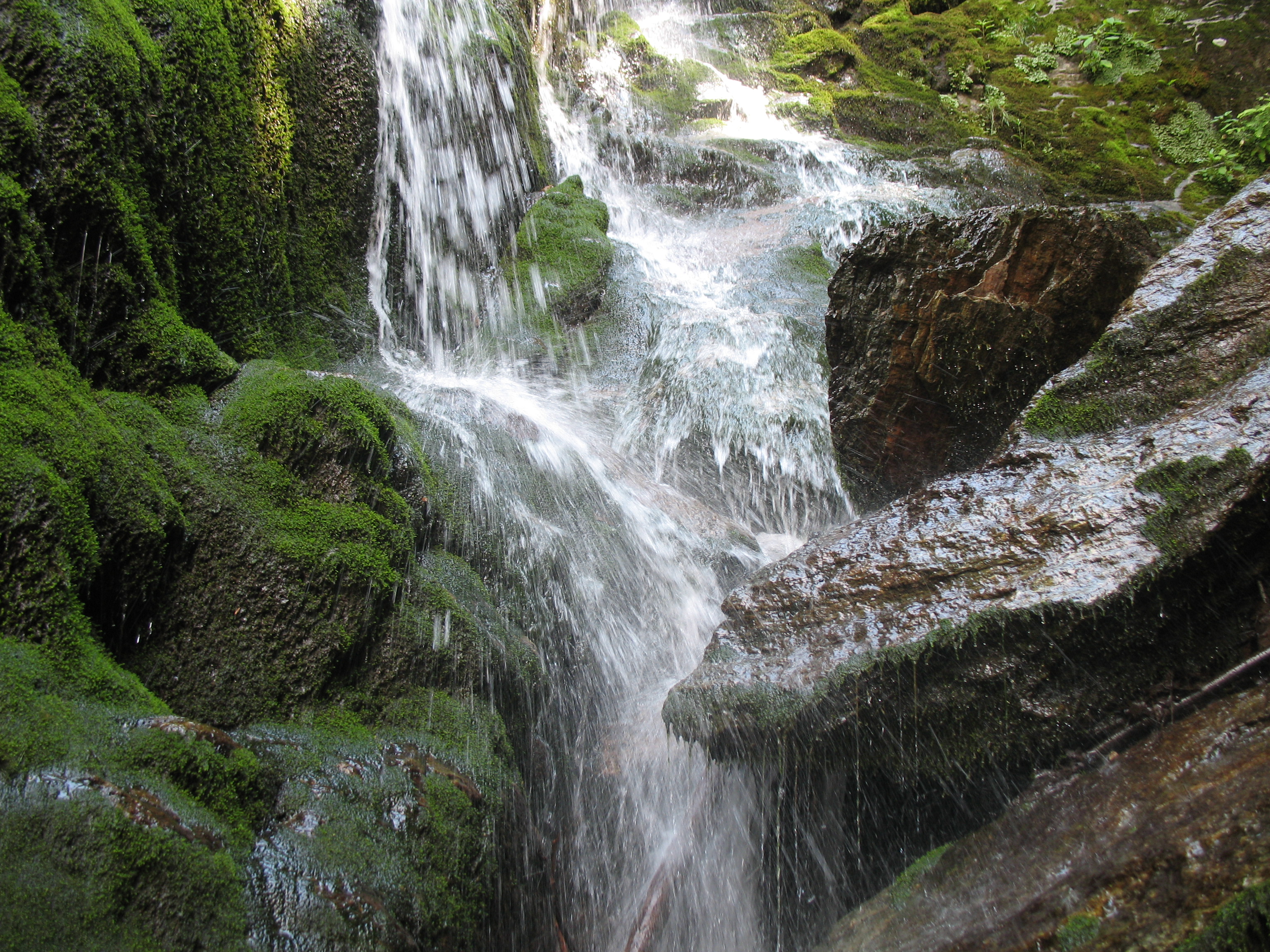
River's Edge
Going Home

2014.03.18 155K Views
Winter Road

Green road
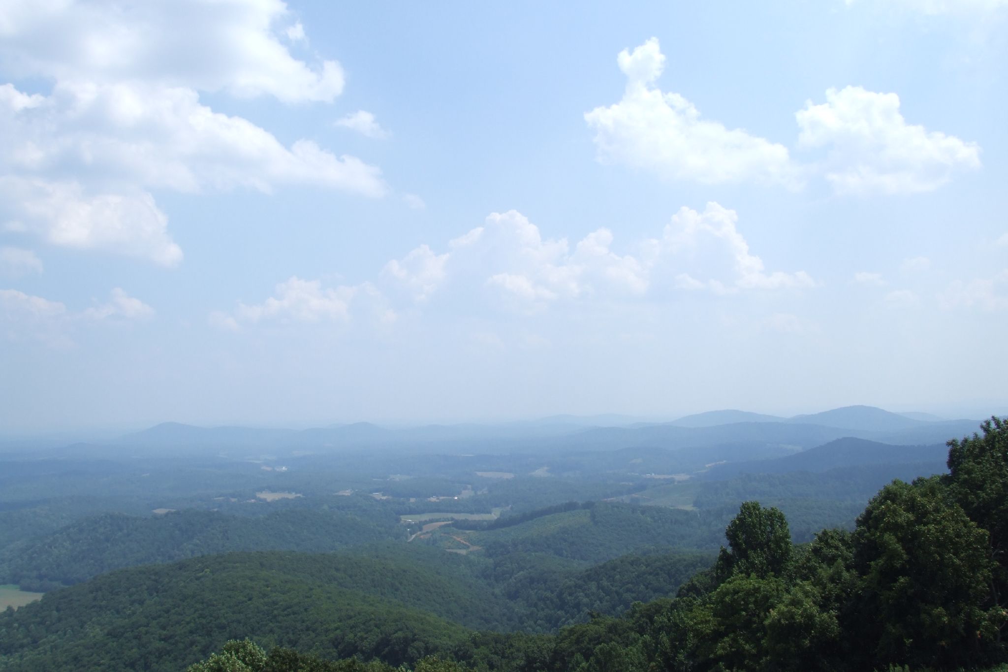
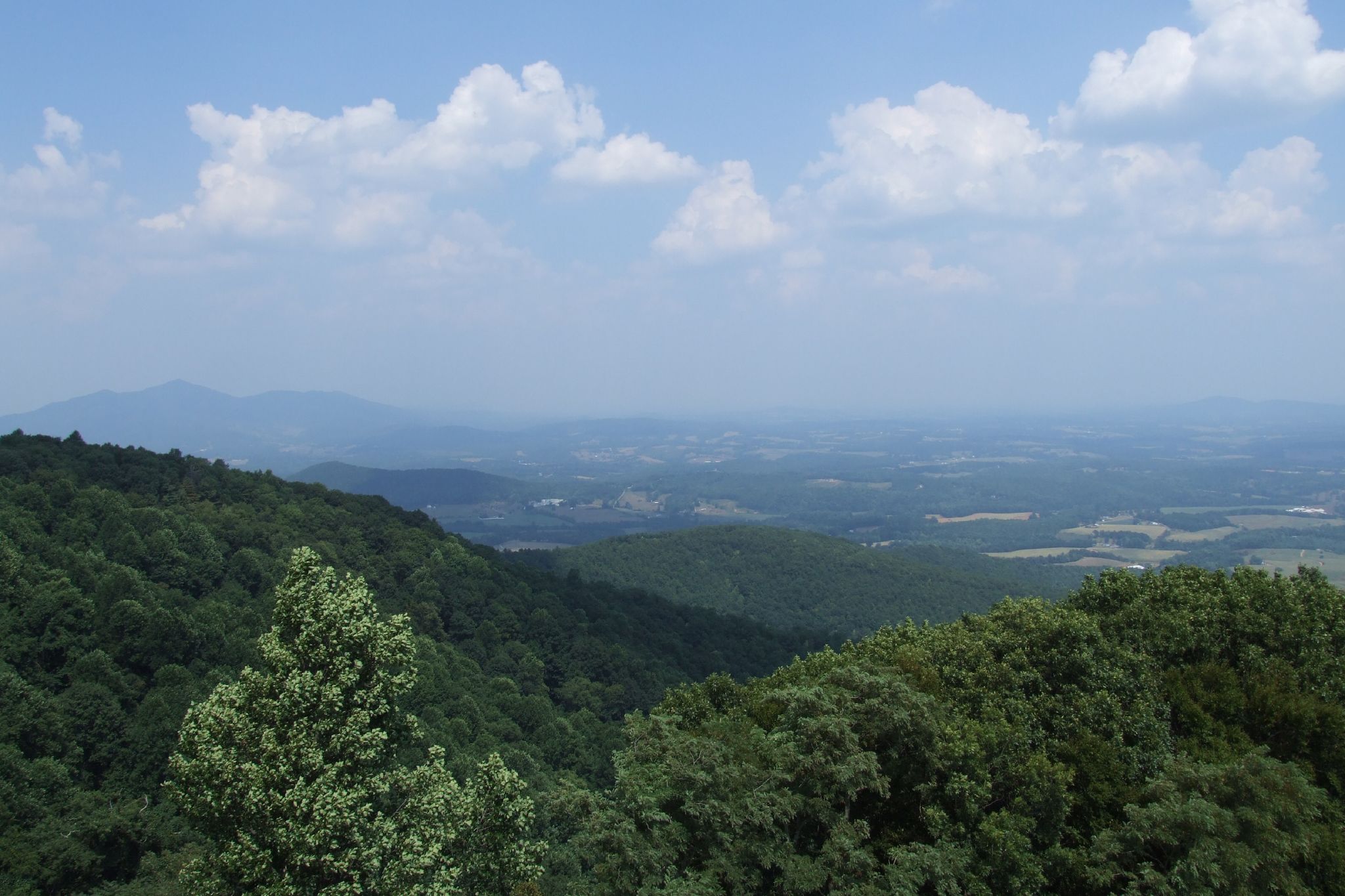
View from Pine Spur overlook

View from the Top

Start of our offroad adventure
1441 Syon Abbey - View from Tower Roof
1440 Syon Abbey - View from Tower Roof

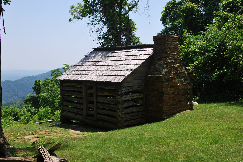
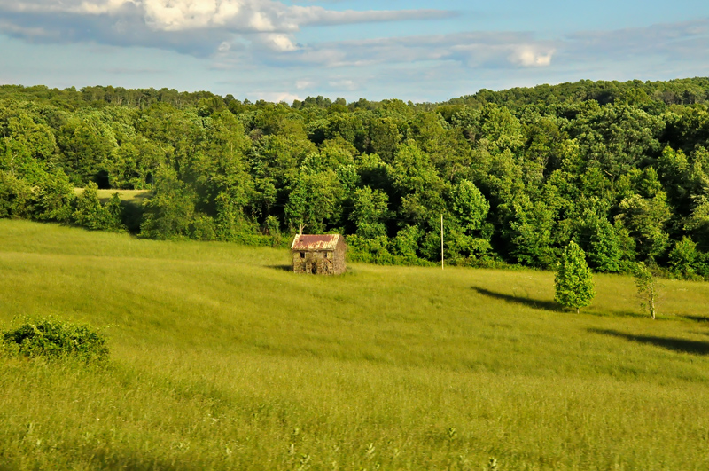
Trail's Cabin II
Blue Ridge Parkway
Blue Ridge Parkway

Trail's Cabin
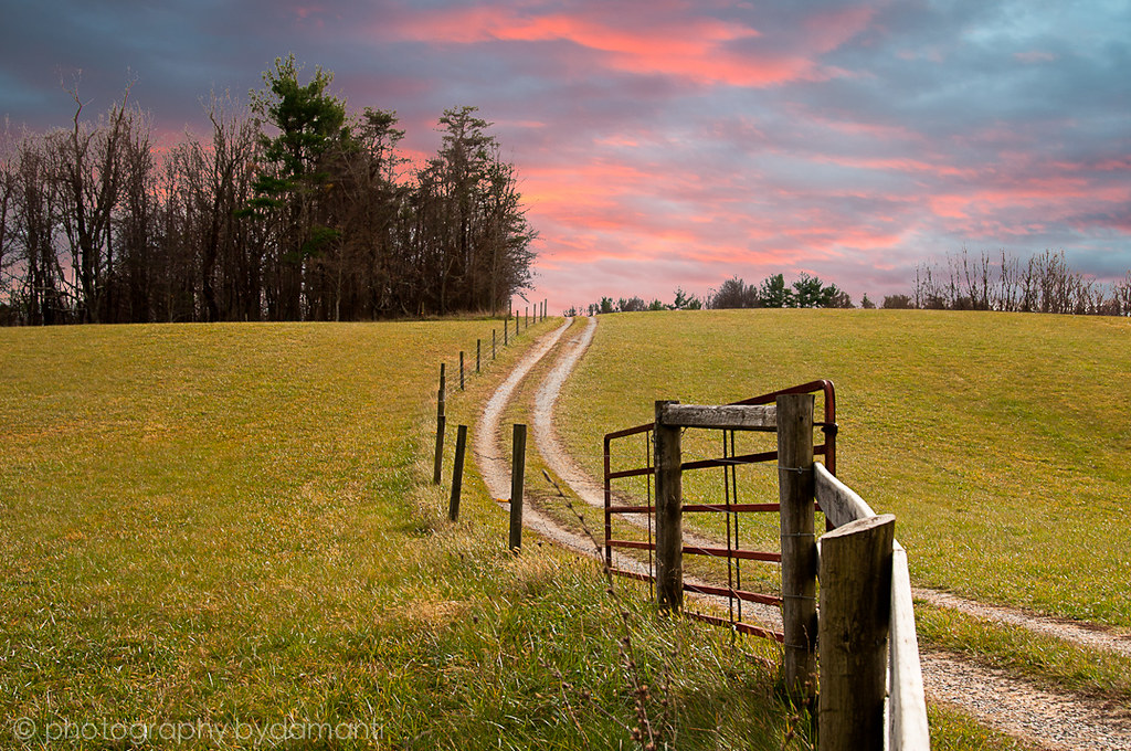
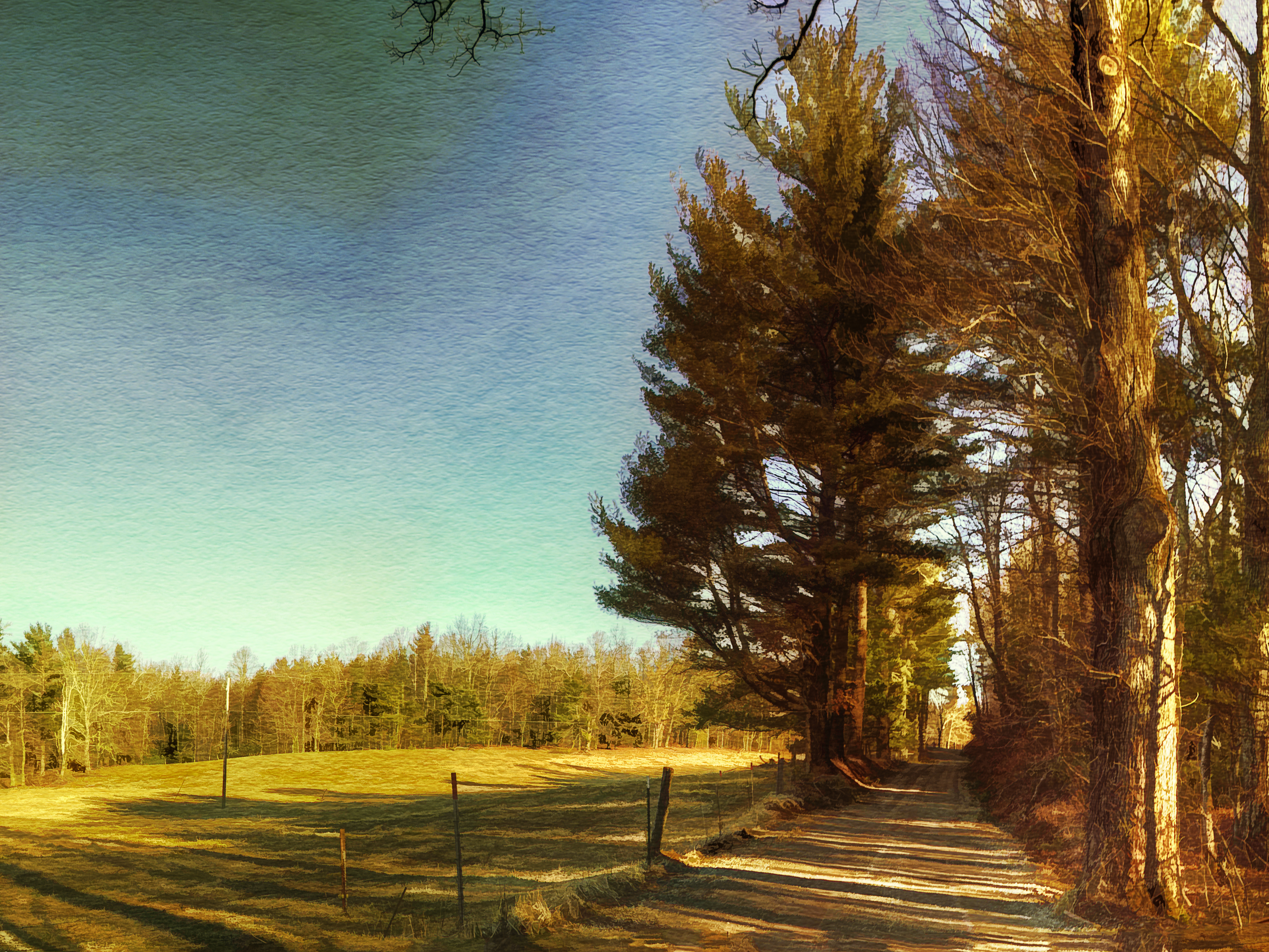
THE WAY HOME
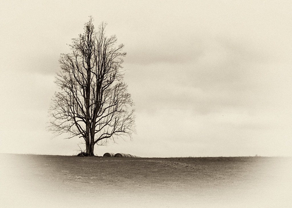
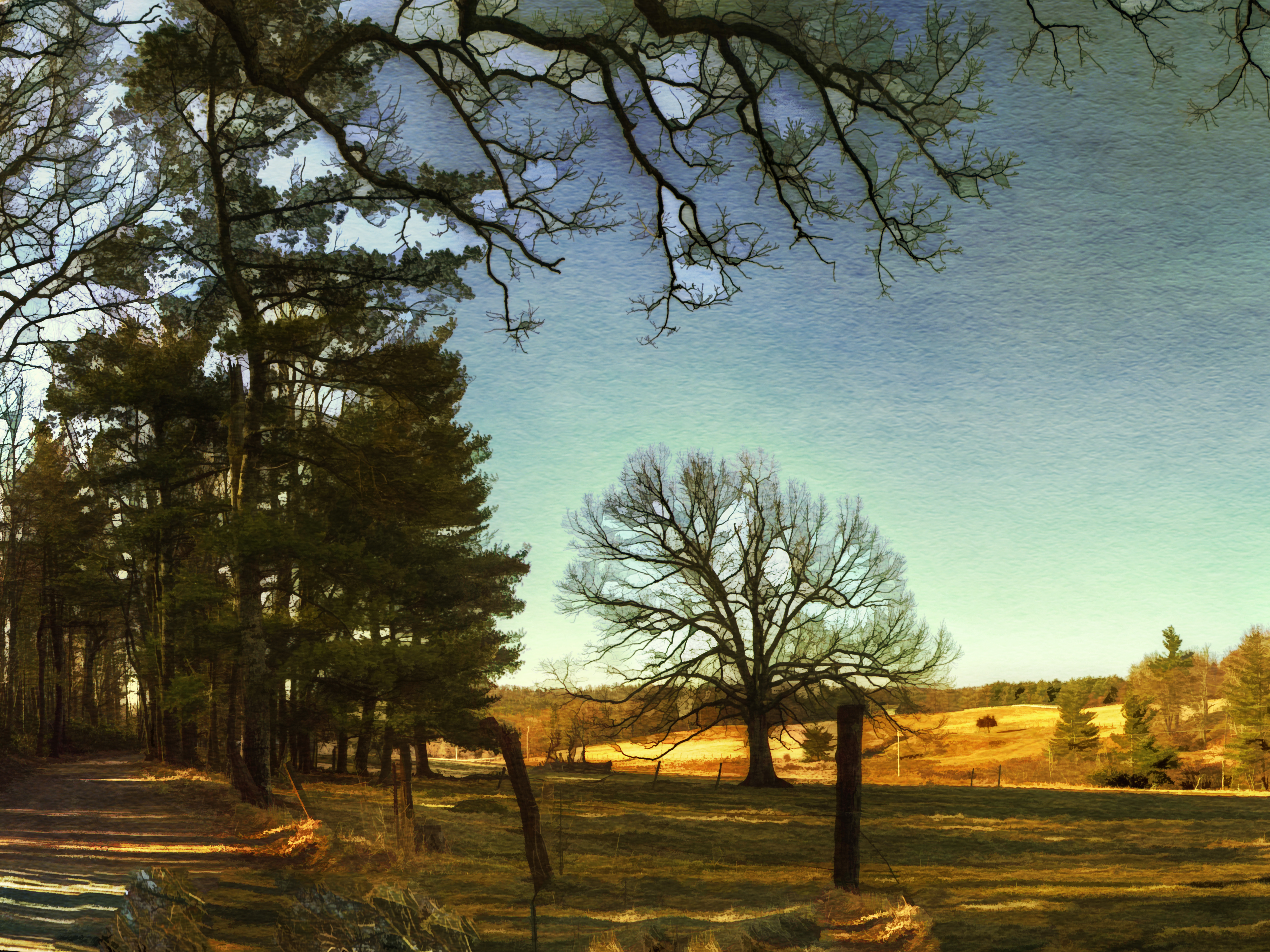
SOLITARY TREE - ANTIQUED
HAY FIELD

Milky Way Sonic Clear
LOWER PASTURE
WOODS GAP CREEK
River Road
IMG_1664.jpg
IMG_1660.jpg
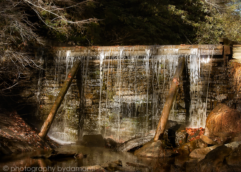
RAKES MILL POND

Blue Ridge Parkway Sky
IMG_1663.jpg
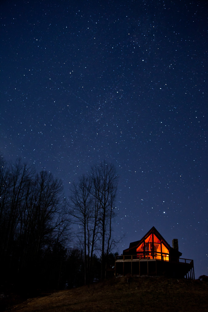
Warm Cabin in the Woods on a Cold Clear Starry Night
Southwest Virginia
Blue Ridge Parkway
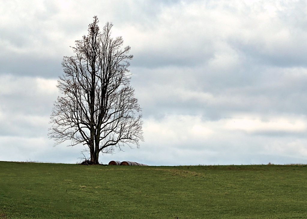
SOLITARY TREE
Raise the roof
Topographic Map of Stonewall Rd NE, Check, VA, USA
Find elevation by address:

Places near Stonewall Rd NE, Check, VA, USA:
2511 Stonewall Rd Ne
Check
456 Griffith Creek Rd Ne
Deer Haven Road Northeast
Deer Haven Road Northeast
Deer Haven Road Northeast
Deer Haven Road Northeast
107 Rose Ln Ne
993 Huffville Rd Ne
2953 State Rte 679
Huffville Rd NE, Pilot, VA, USA
1137 Huffville Rd Ne
291 Hunters Trail
Little River
285 Poff Dr Ne
Moore Road Northeast
426 Poor Farm Rd Se
657 Poor Farm Rd Se
3432 Bethlehem Church Rd Ne
325 Thompson Rd Se
Recent Searches:
- Elevation of Corso Fratelli Cairoli, 35, Macerata MC, Italy
- Elevation of Tallevast Rd, Sarasota, FL, USA
- Elevation of 4th St E, Sonoma, CA, USA
- Elevation of Black Hollow Rd, Pennsdale, PA, USA
- Elevation of Oakland Ave, Williamsport, PA, USA
- Elevation of Pedrógão Grande, Portugal
- Elevation of Klee Dr, Martinsburg, WV, USA
- Elevation of Via Roma, Pieranica CR, Italy
- Elevation of Tavkvetili Mountain, Georgia
- Elevation of Hartfords Bluff Cir, Mt Pleasant, SC, USA