Elevation of Poff Dr NE, Check, VA, USA
Location: United States > Virginia > Floyd County > Locust Grove > Check >
Longitude: -80.190112
Latitude: 37.038448
Elevation: 798m / 2618feet
Barometric Pressure: 0KPa
Related Photos:
Winter Road

River's Edge

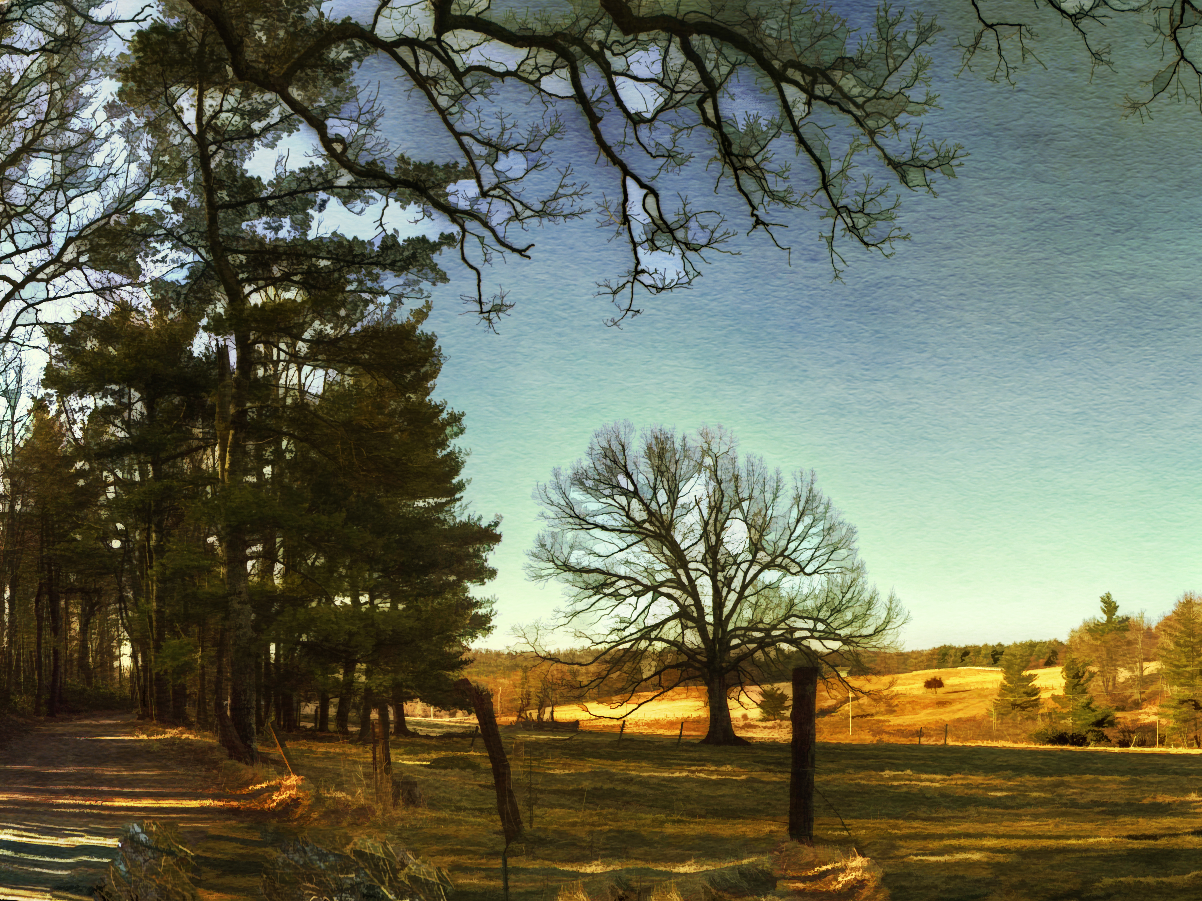
Two Roads Diverged in a Wood
Floyd County

Going Home
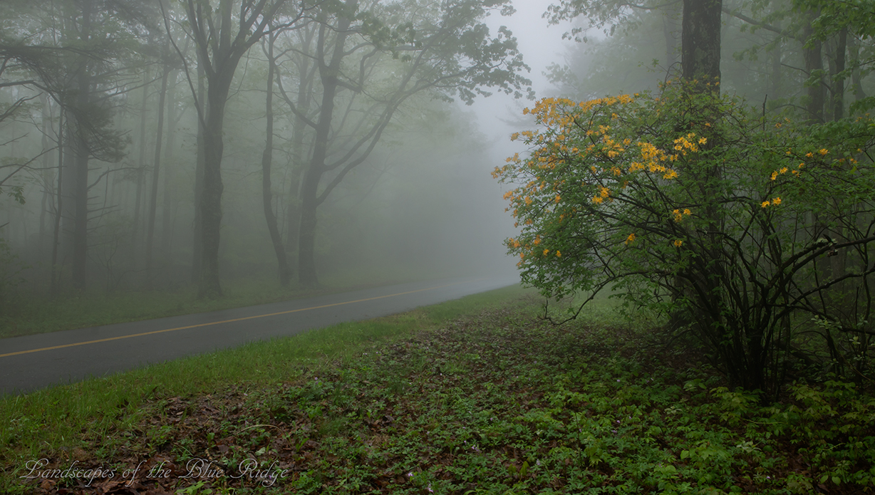
Flame in the Fog
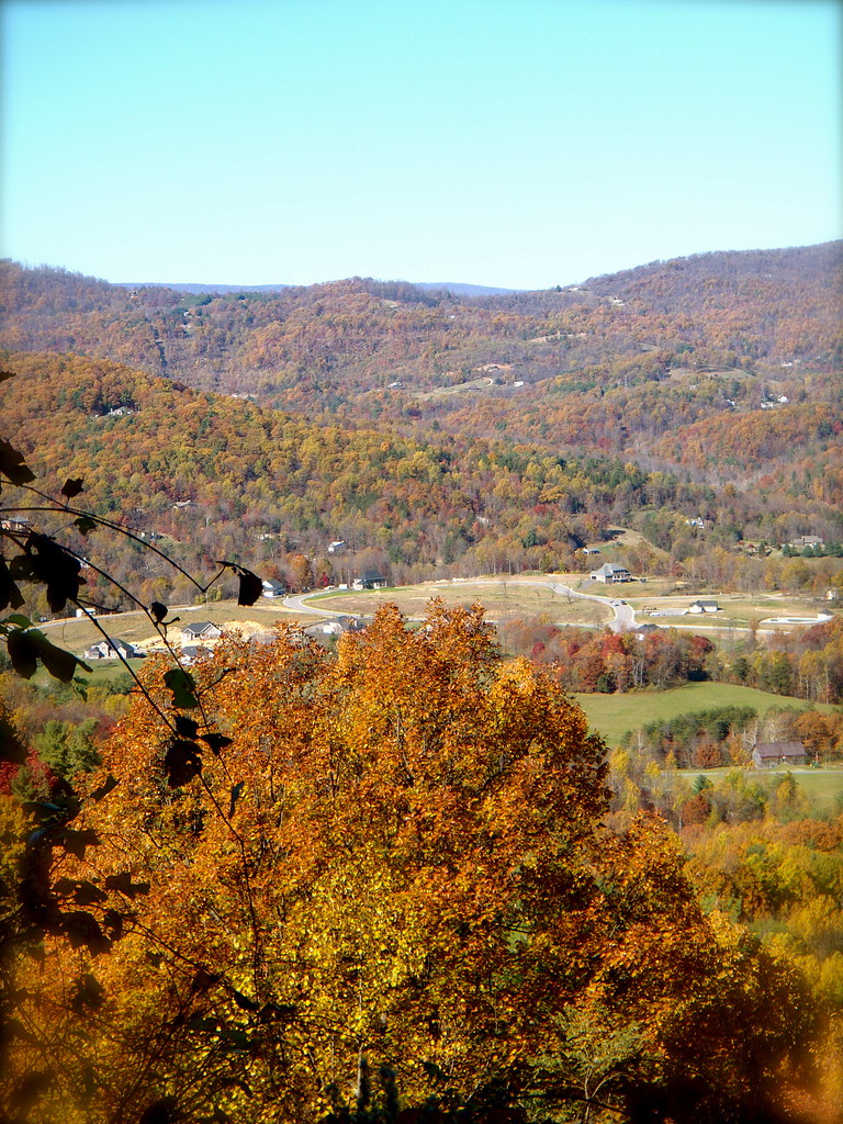
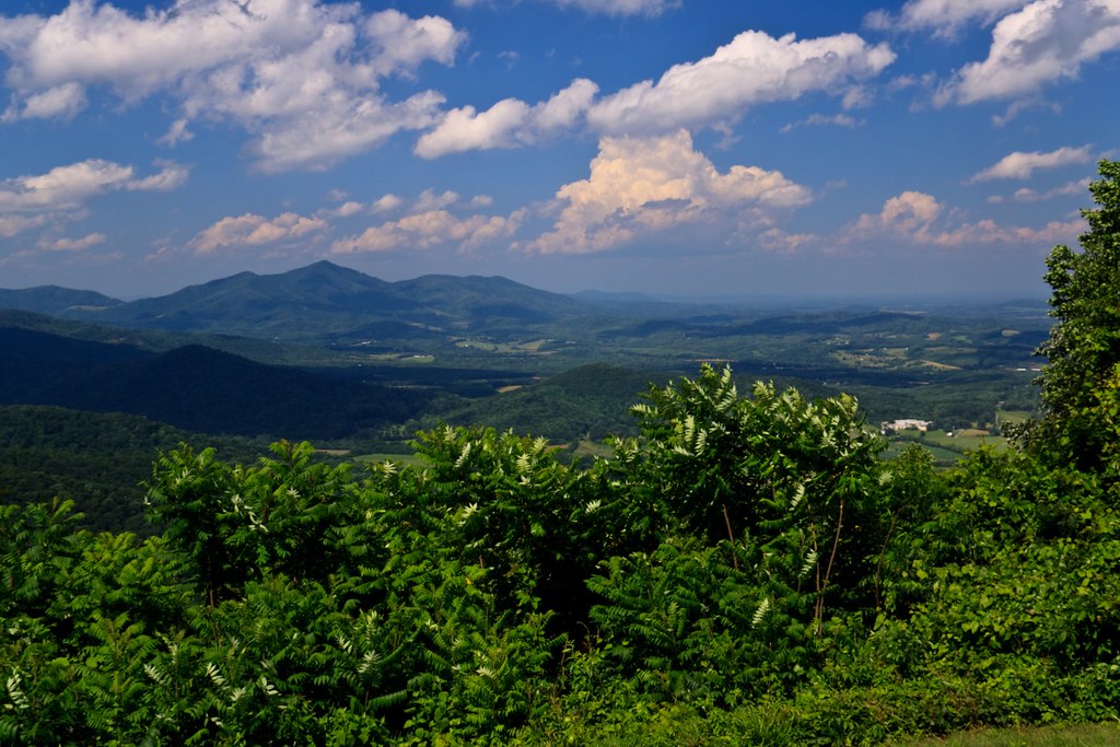
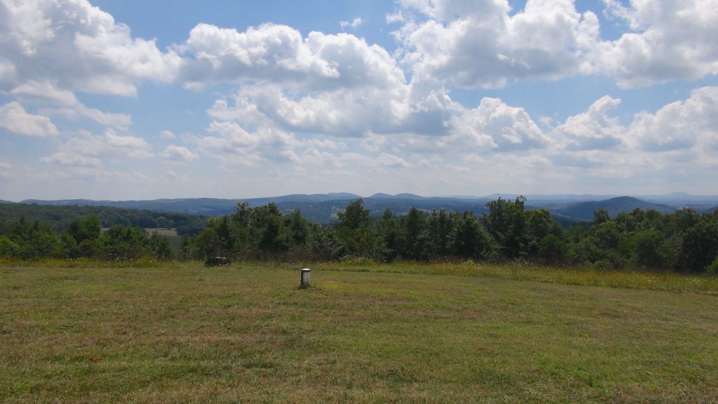
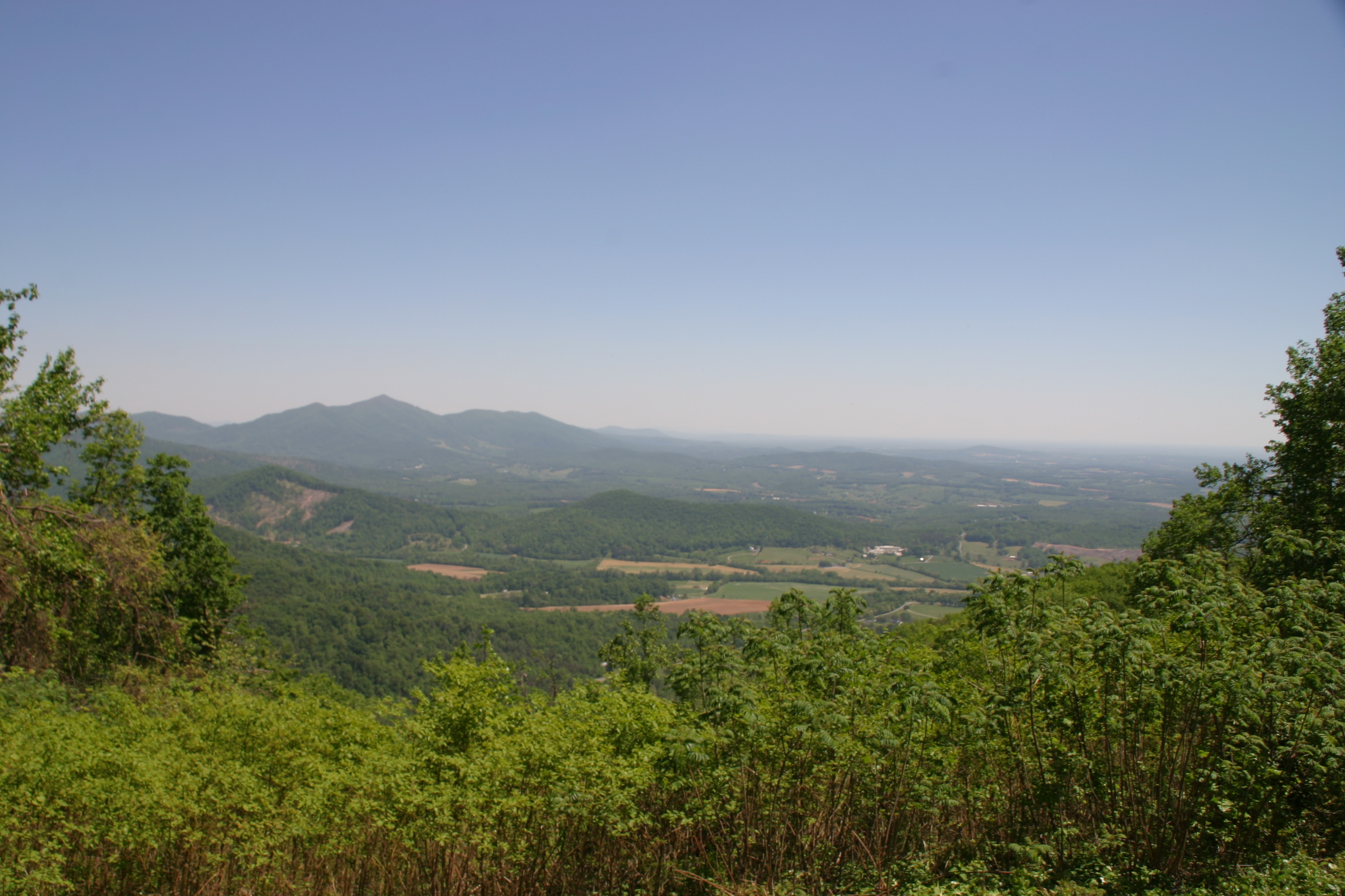
View!
Blue Ridge Parkway

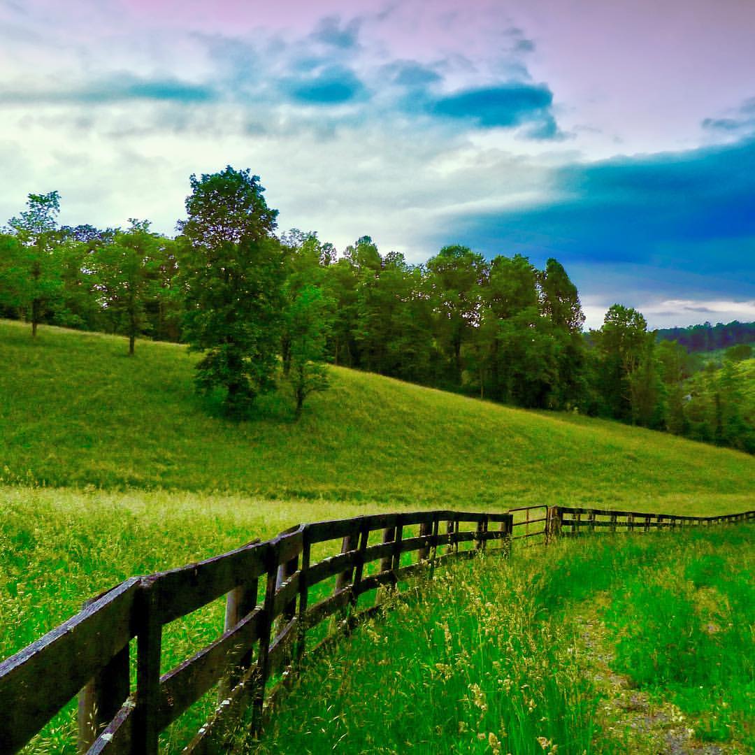
Green road
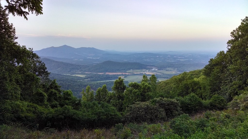
View from Pine Spur overlook

View from the Top
1441 Syon Abbey - View from Tower Roof
1440 Syon Abbey - View from Tower Roof

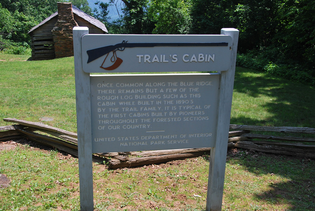
Trail's Cabin II
Blue Ridge Parkway
Blue Ridge Parkway

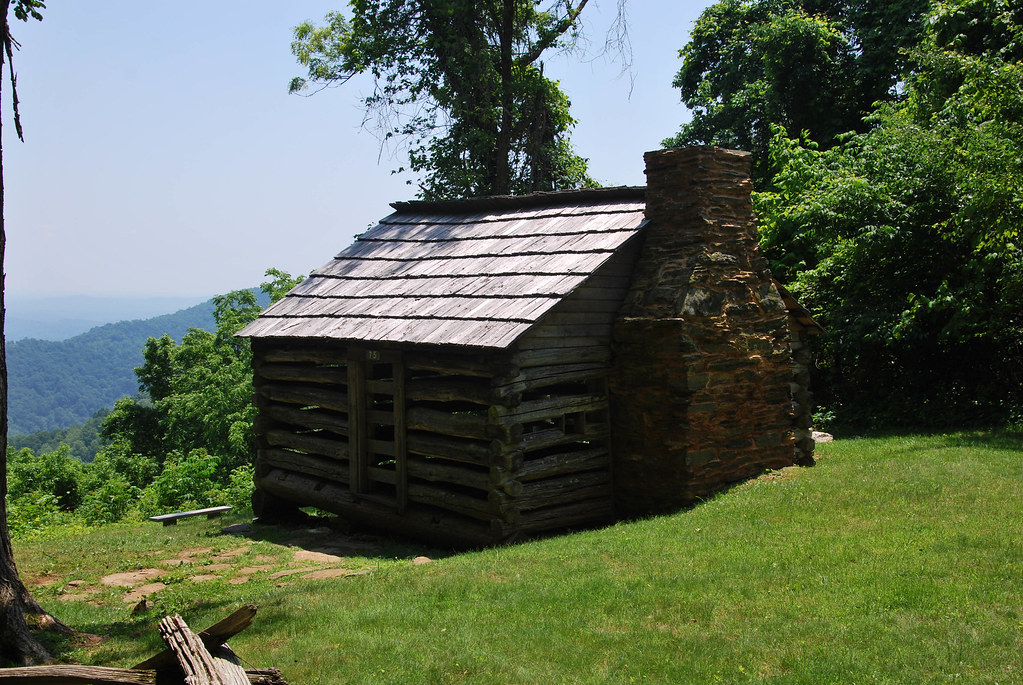
Trail's Cabin
1433 Syon Abbey - View from Tower Roof
Blue Ridge Parkway
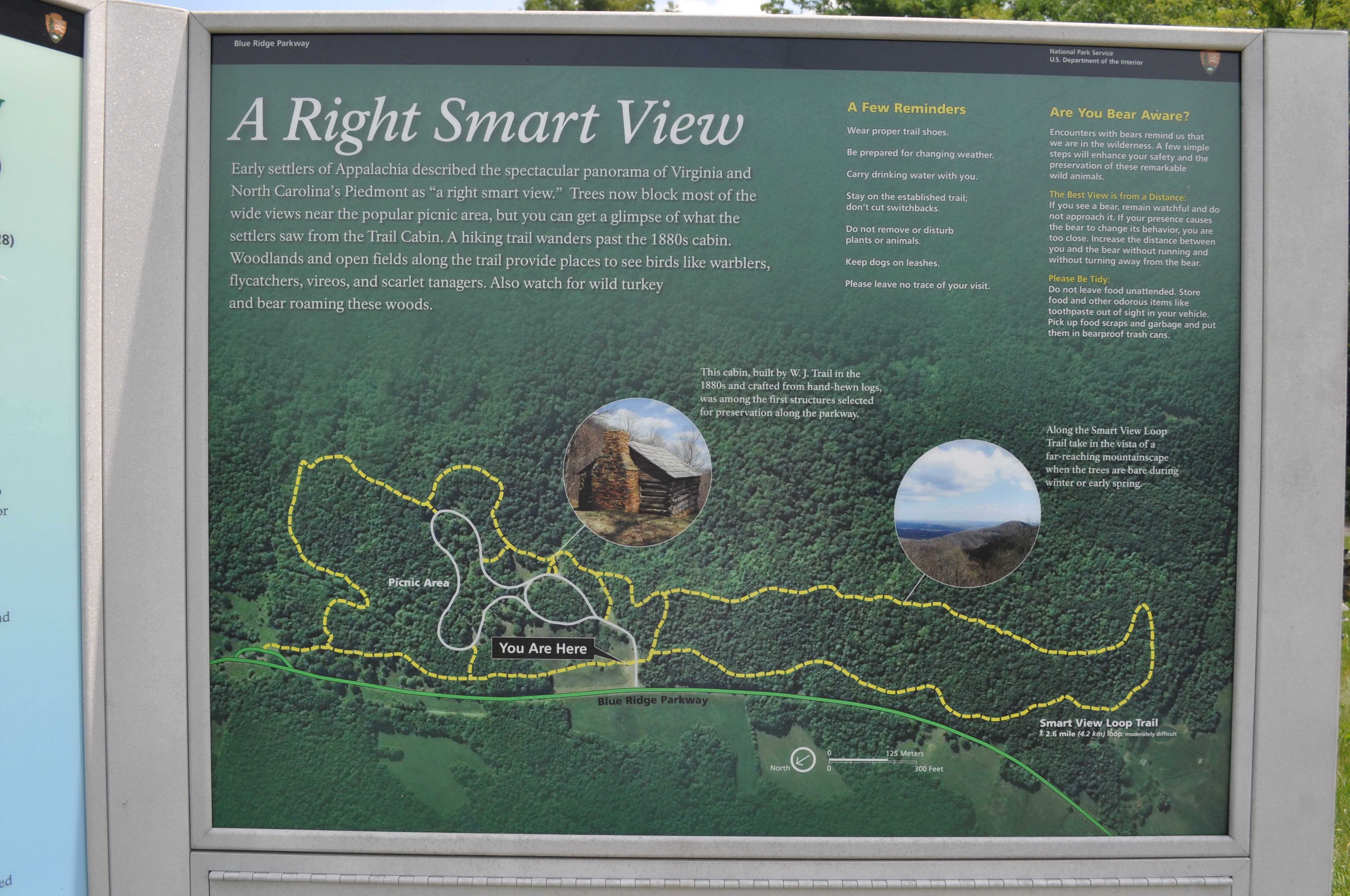
3036 A Right Smart View Img_14197
Nice view from floyd

THE WAY HOME
June 3, 2016
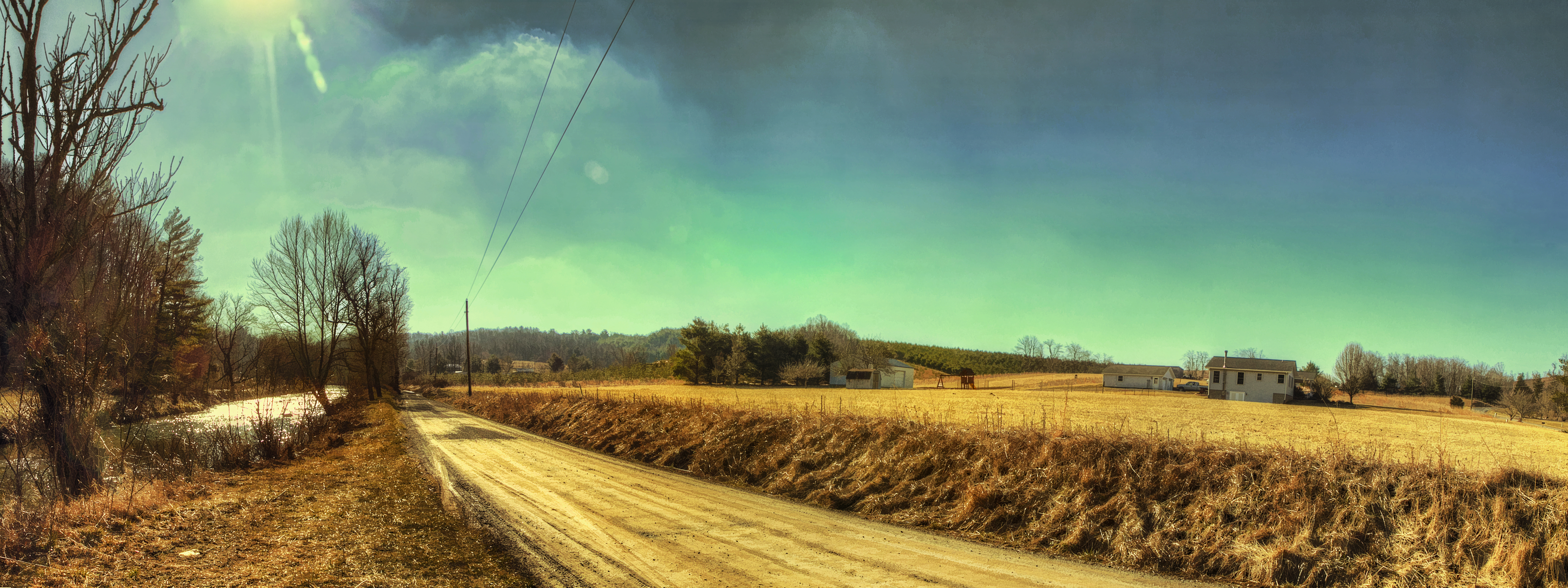
River Road

Blue Ridge Parkway Sky

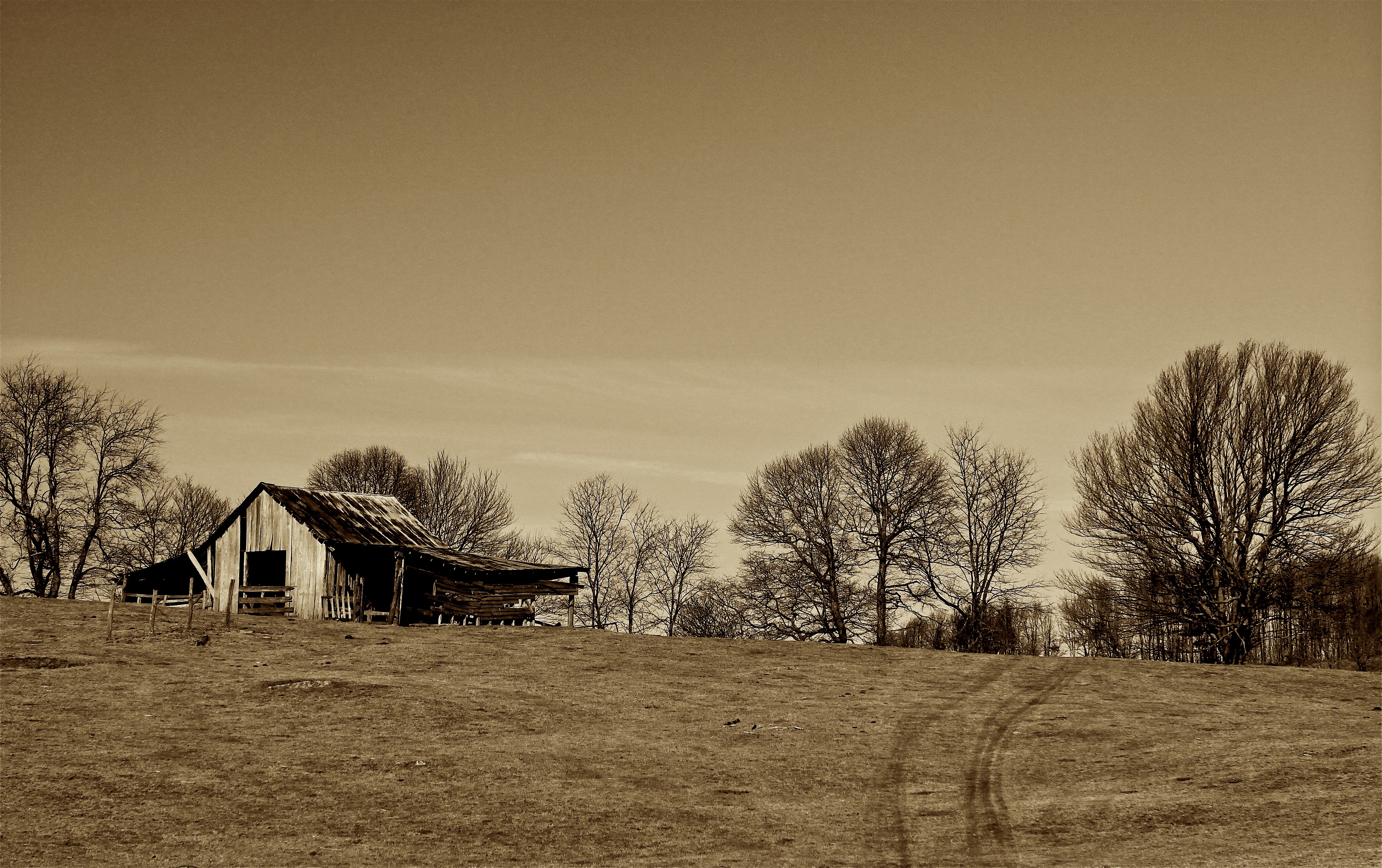
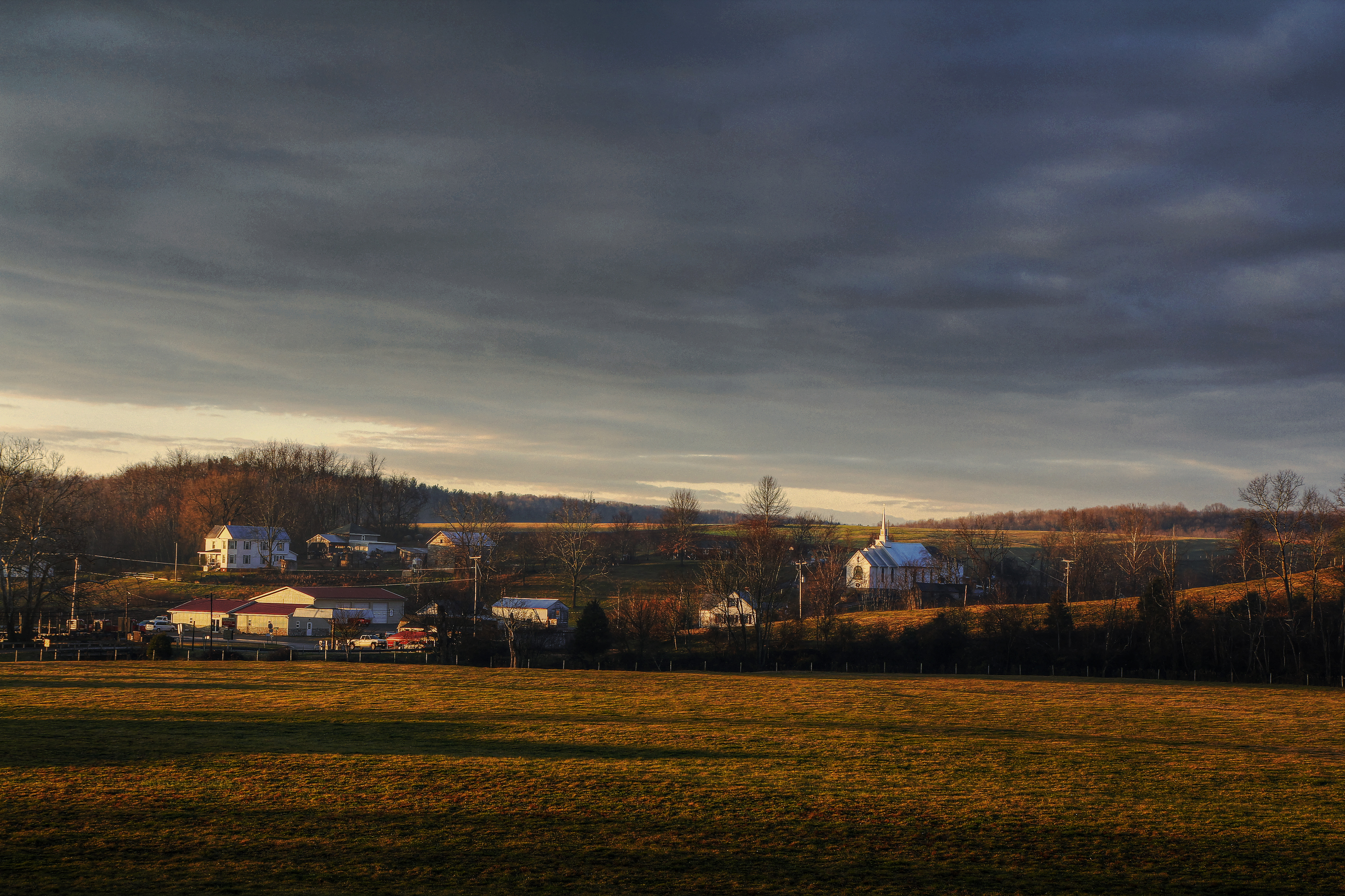
Farm House in December

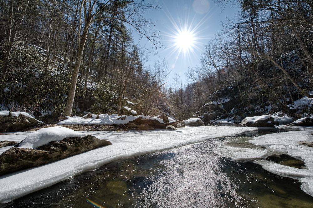
Small falls on Boners Run
Callaway Village
Bottom Creek Gorge
2013.11.04_ZAD09

Blue Ridge Parkway

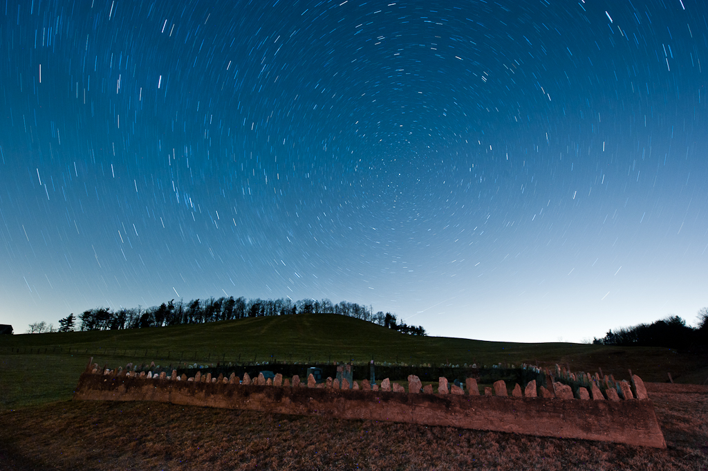
Milky Way Sonic Clear
Time in the Dark

Warm Cabin in the Woods on a Cold Clear Starry Night
Blue Ridge Parkway (70)

Circles all the way down.

Cahas Mountain Overlook
Raise the roof
Topographic Map of Poff Dr NE, Check, VA, USA
Find elevation by address:

Places near Poff Dr NE, Check, VA, USA:
Locust Grove
6860 Floyd Hwy N
Check
291 Hunters Trail
456 Griffith Creek Rd Ne
2012 Stonewall Rd Ne
2511 Stonewall Rd Ne
325 Thompson Rd Se
4598 Franklin Pike Se
Deer Haven Road Northeast
Deer Haven Road Northeast
Deer Haven Road Northeast
Deer Haven Road Northeast
657 Poor Farm Rd Se
993 Huffville Rd Ne
426 Poor Farm Rd Se
Huffville Rd NE, Pilot, VA, USA
107 Rose Ln Ne
1137 Huffville Rd Ne
Little River
Recent Searches:
- Elevation map of Greenland, Greenland
- Elevation of Sullivan Hill, New York, New York, 10002, USA
- Elevation of Morehead Road, Withrow Downs, Charlotte, Mecklenburg County, North Carolina, 28262, USA
- Elevation of 2800, Morehead Road, Withrow Downs, Charlotte, Mecklenburg County, North Carolina, 28262, USA
- Elevation of Yangbi Yi Autonomous County, Yunnan, China
- Elevation of Pingpo, Yangbi Yi Autonomous County, Yunnan, China
- Elevation of Mount Malong, Pingpo, Yangbi Yi Autonomous County, Yunnan, China
- Elevation map of Yongping County, Yunnan, China
- Elevation of North 8th Street, Palatka, Putnam County, Florida, 32177, USA
- Elevation of 107, Big Apple Road, East Palatka, Putnam County, Florida, 32131, USA
- Elevation of Jiezi, Chongzhou City, Sichuan, China
- Elevation of Chongzhou City, Sichuan, China
- Elevation of Huaiyuan, Chongzhou City, Sichuan, China
- Elevation of Qingxia, Chengdu, Sichuan, China
- Elevation of Corso Fratelli Cairoli, 35, Macerata MC, Italy
- Elevation of Tallevast Rd, Sarasota, FL, USA
- Elevation of 4th St E, Sonoma, CA, USA
- Elevation of Black Hollow Rd, Pennsdale, PA, USA
- Elevation of Oakland Ave, Williamsport, PA, USA
- Elevation of Pedrógão Grande, Portugal