Elevation of Stomp Springs Cir, Clinton, SC, USA
Location: United States > South Carolina > Laurens County > Clinton >
Longitude: -81.734577
Latitude: 34.470276
Elevation: 145m / 476feet
Barometric Pressure: 100KPa
Elevation Map:
Satellite Map:
Related Photos:

Classic Neville
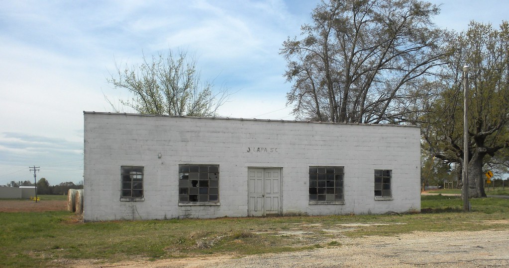
Jalapa SC
3....9....4....8....

1842 Church sanctuary front view

A Book About Death

A Book About Death
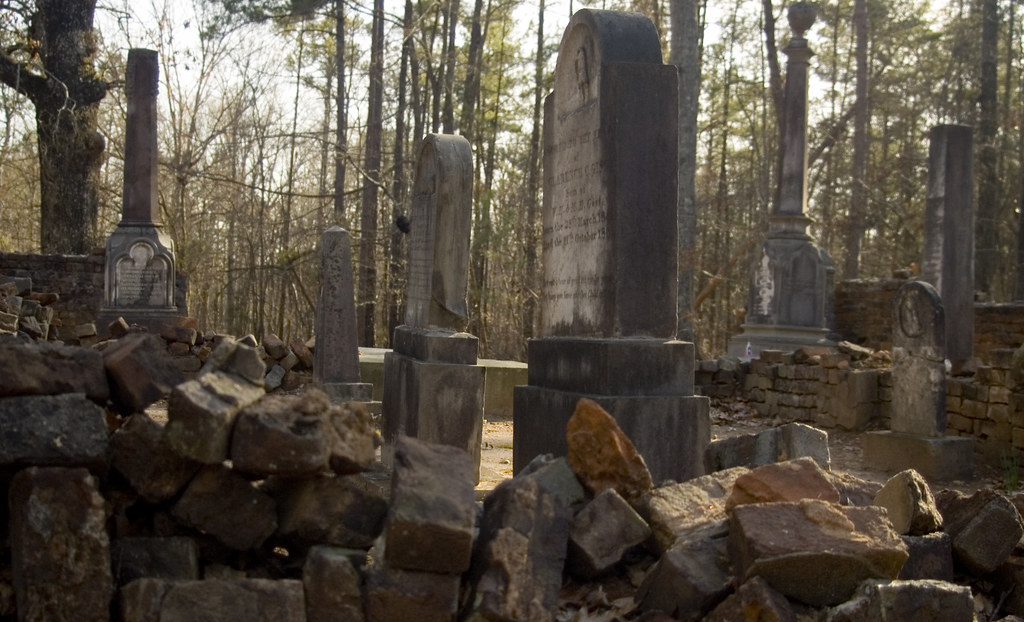
Gist Family Cemetery

A Book About Death

A Book About Death

A Book About Death: Life
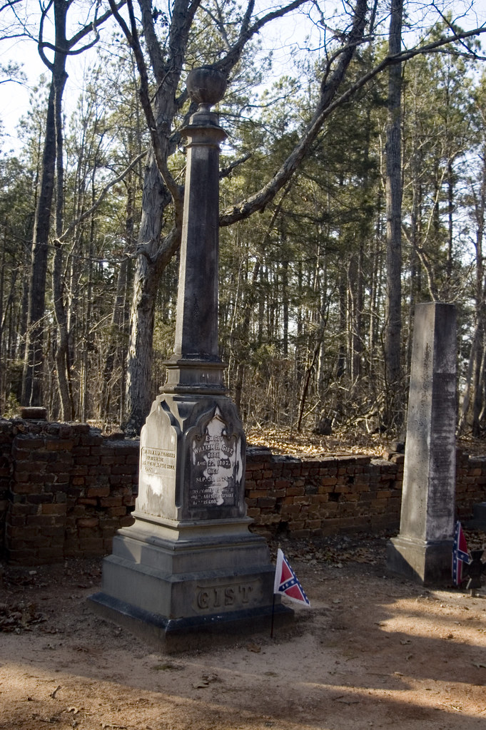
Gist Grave
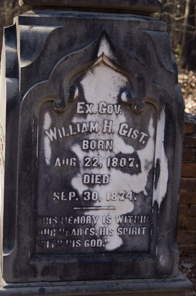
Gist Grave 2

A Book About Death

A Book About Death

A Book About Death

A Book About Death
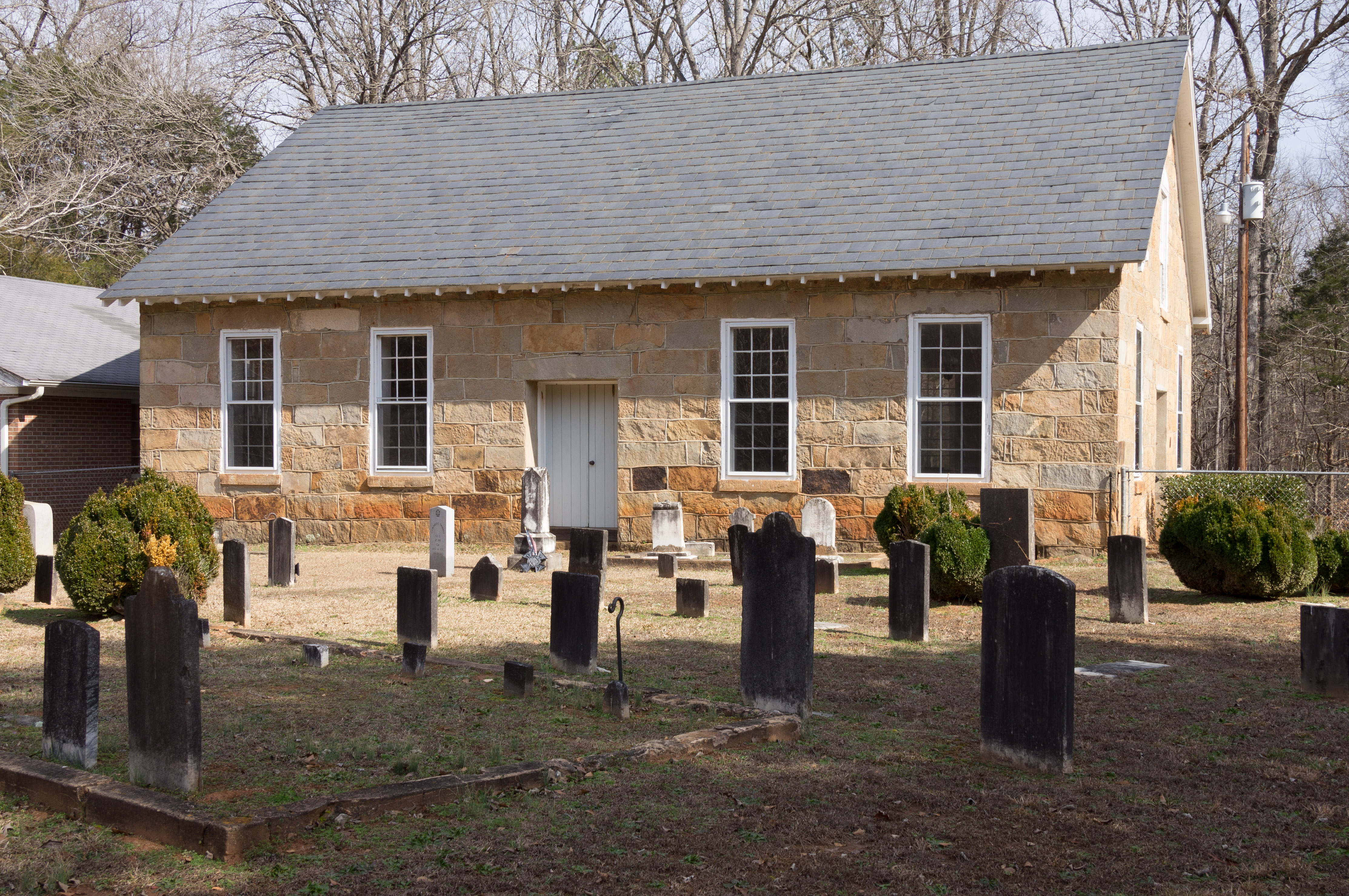
1842 church sanctuary - side view
P1050587.JPG

A Book About Death
Beautiful Façade
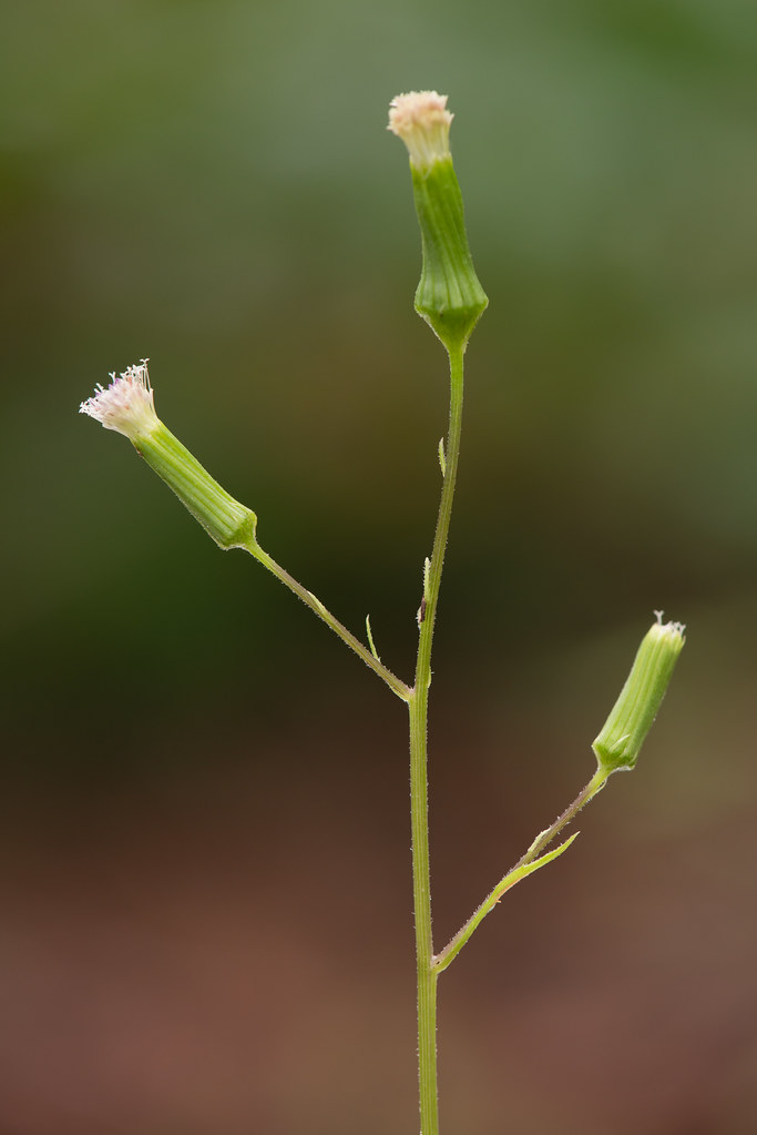
Erechtites hieraciifolius (Fireweed)

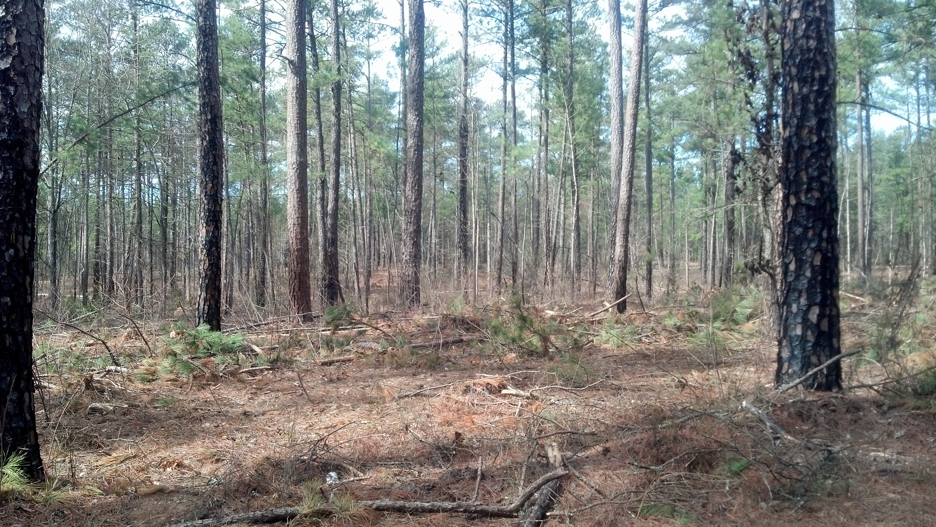
Country Road, Sumter National Forest, South Carolina
Sumter National Forest - SC - 2014
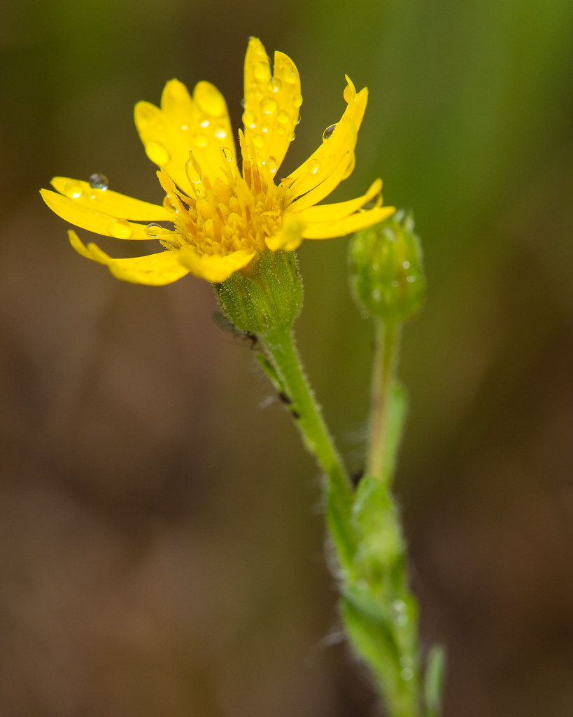
Chrysopsis mariana (Mariana goldenaster)

Lobelia puberula (Downy Lobelia)
Sumter National Forest - SC - 2014
Sumter National Forest - SC - 2014
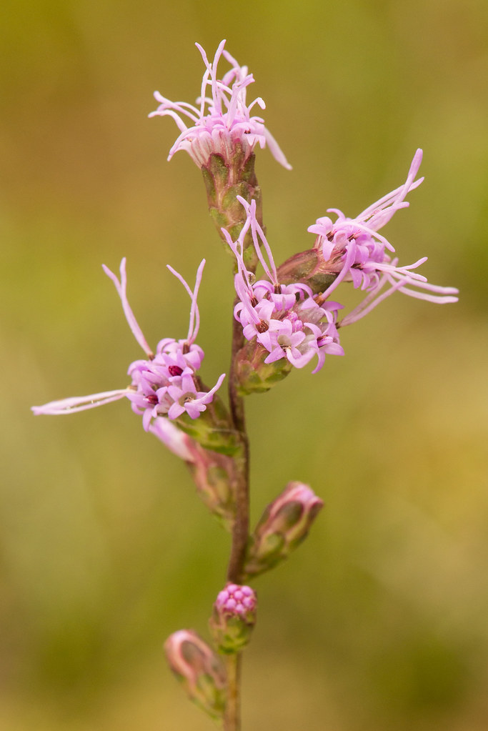
Liatris spicata (Dense blazing star)

Erechtites hieraciifolius (Fireweed)
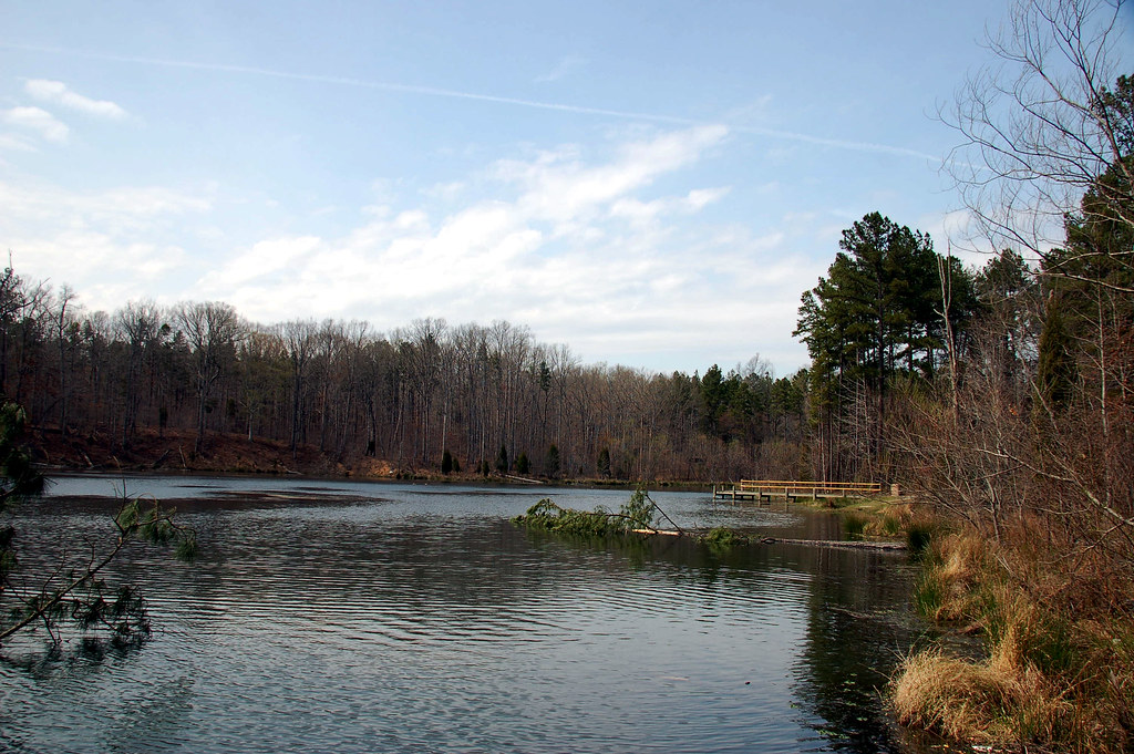
Lake Sedalia
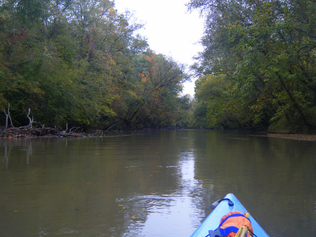
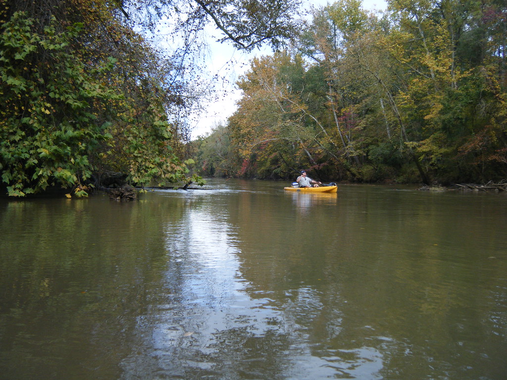
Paddling on the Enorree
Dave at the Duncan Creek Confluence
Whitmire, South Carolina
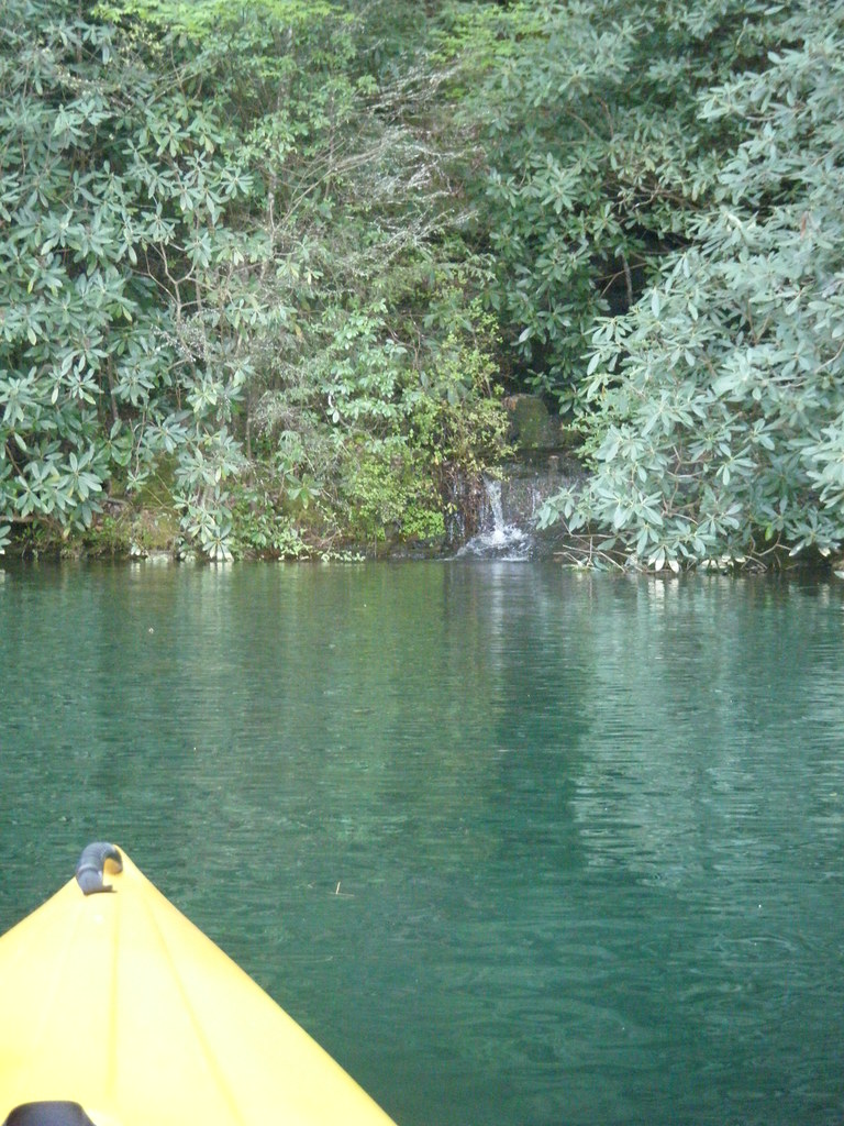
Small Waterfall
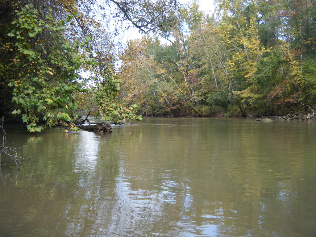
Duncan Creek Confluence
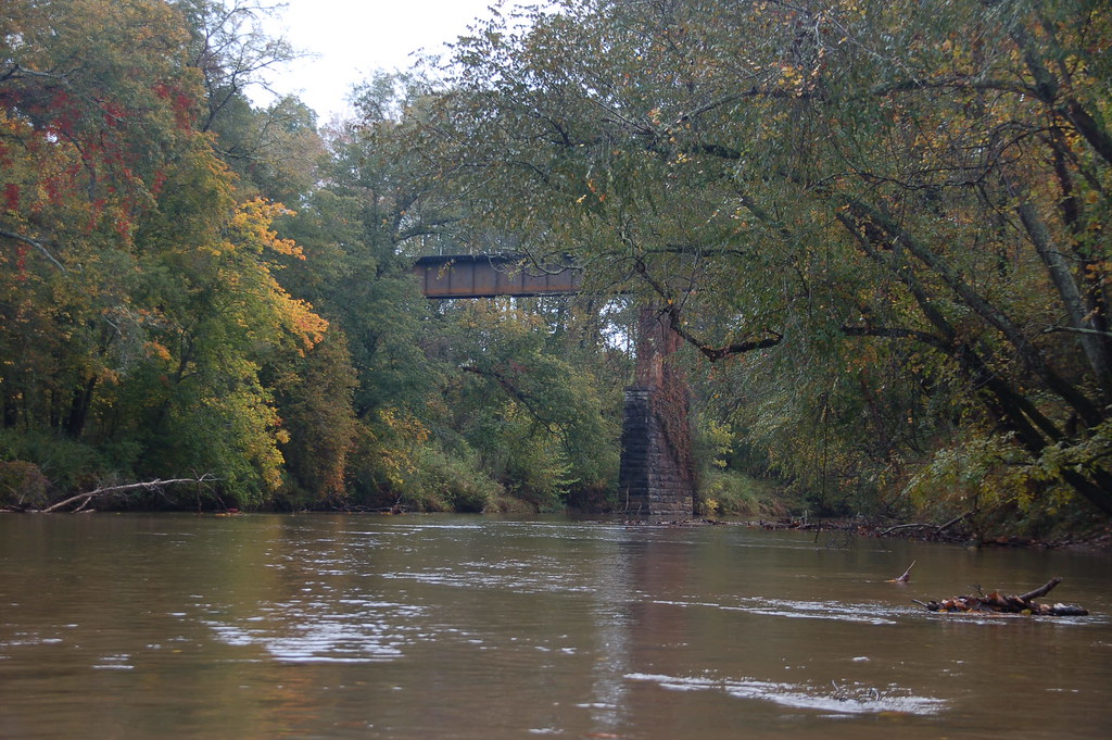
Approaching the Whitemire Rail Trestle
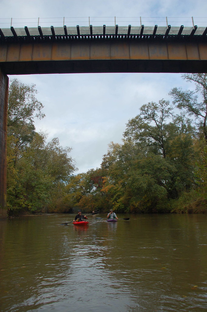
Under the Whitmire Rail Trestle
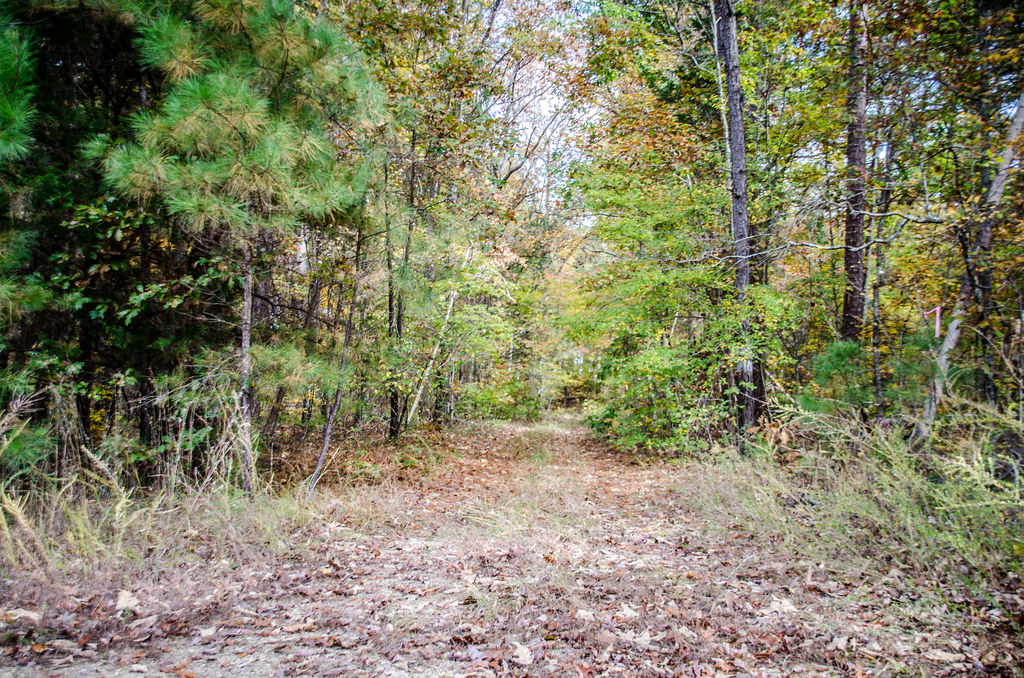
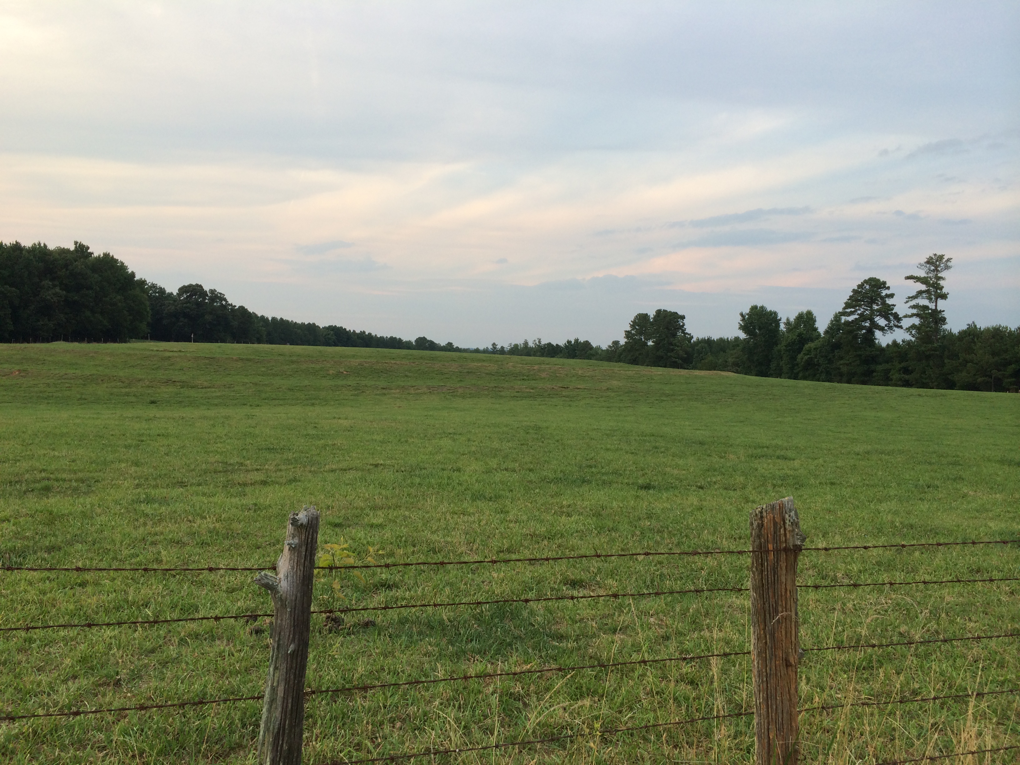
Sardis Church Road
Topographic Map of Stomp Springs Cir, Clinton, SC, USA
Find elevation by address:

Places near Stomp Springs Cir, Clinton, SC, USA:
Lake Rd, Clinton, SC, USA
Marshall Rd, Clinton, SC, USA
SC-56, Clinton, SC, USA
15171 Sc-56
15171 Sc-56
The Clinton House Plantation
Presbyterian College
Clinton
Rose Hill Plantation State Historic Site
110 Tribble St
309 State Rd S-30-261
1220 Charlottes Rd
Old Milton Rd, Clinton, SC, USA
Newberry County
SC-56, Enoree, SC, USA
2418 Henry Ave
Newberry College
Newberry
Union County
776 E Jerry Rd
Recent Searches:
- Elevation of Corso Fratelli Cairoli, 35, Macerata MC, Italy
- Elevation of Tallevast Rd, Sarasota, FL, USA
- Elevation of 4th St E, Sonoma, CA, USA
- Elevation of Black Hollow Rd, Pennsdale, PA, USA
- Elevation of Oakland Ave, Williamsport, PA, USA
- Elevation of Pedrógão Grande, Portugal
- Elevation of Klee Dr, Martinsburg, WV, USA
- Elevation of Via Roma, Pieranica CR, Italy
- Elevation of Tavkvetili Mountain, Georgia
- Elevation of Hartfords Bluff Cir, Mt Pleasant, SC, USA