Elevation of Marshall Rd, Clinton, SC, USA
Location: United States > South Carolina > Laurens County > Clinton >

Longitude: -81.774293

Latitude: 34.444915

Elevation: 181m / 594feet

Barometric Pressure: 99KPa

Elevation Map:

elevation map of Marshall Rd, Clinton, SC, USA
Satellite Map:

Satellite map of Marshall Rd, Clinton, SC, USA
Related Photos:

college sc campus pc clinton southcarolina neville presbyteriancollege
Classic Neville
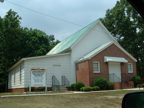
church geotagged geolat34533642 geolon81906338 longbranchpentecostalholiness
Long Branch Pentecostal Holiness Church
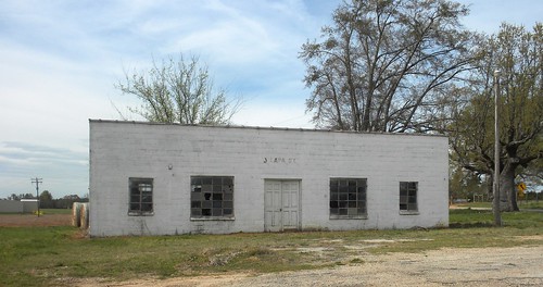
door camera blue sky abandoned love sc rural see town spring view cement forgotten carolina april block piedmont useless destitute ignored jalapa newberry outofafghanistan fuckafghanistan
Jalapa SC
cameraphone camera eye feet apple station shoe shoes pin phone looking view floor legs perspective machine ground down surface sneakers gas number 3g automatic atm phones teller iview iphone fromaphoneseyeview
3....9....4....8....
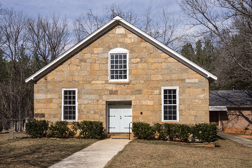
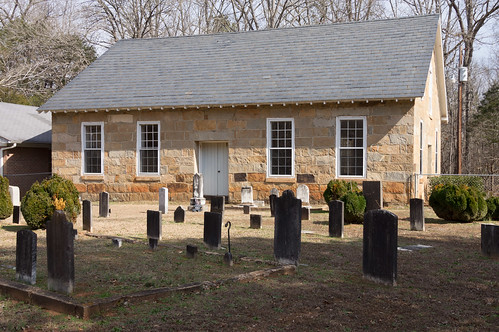
church cemetery graveyard southcarolina historicchurch historicbuilding phototrek laurenscounty duncancreekpresbyterianchurch
1842 Church sanctuary front view
art gallery exhibit matthewrose abad presbyteriancollege abookaboutdeath
A Book About Death
art gallery exhibit matthewrose abad presbyteriancollege abookaboutdeath
A Book About Death
art gallery exhibit matthewrose abad presbyteriancollege abookaboutdeath
A Book About Death
art gallery exhibit matthewrose abad presbyteriancollege abookaboutdeath
A Book About Death
art gallery exhibit matthewrose abad presbyteriancollege abookaboutdeath
A Book About Death: Life
church geotagged geolat34533642 geolon81906338 longbranchpentecostalholiness
Long Branch Pentecostal Holiness Church
original book gallery view some
A Book About Death
art gallery exhibit matthewrose abad presbyteriancollege abookaboutdeath
A Book About Death
A Book About Death
art gallery exhibit matthewrose abad presbyteriancollege abookaboutdeath
A Book About Death
church cemetery graveyard southcarolina historicchurch historicbuilding phototrek laurenscounty duncancreekpresbyterianchurch
1842 church sanctuary - side view
geotagged geolat344055777777778 geolon816982083333333
P1050587.JPG
original book gallery view some
A Book About Death
church cemetery us unitedstates southcarolina newberry bushriver
Bush River Baptist Church and Cemetery-004
church cemetery us unitedstates southcarolina newberry bushriver
Bush River Baptist Church and Cemetery-040
church cemetery us unitedstates southcarolina newberry bushriver
Bush River Baptist Church and Cemetery-003
church cemetery us unitedstates southcarolina newberry bushriver
Bush River Baptist Church and Cemetery-036
road morning light shadow sc forest sunrise south country union national carolina crossroads gravel brickhouse sumpter whitemire
Country Road, Sumter National Forest, South Carolina
Sumter National Forest - SC - 2014
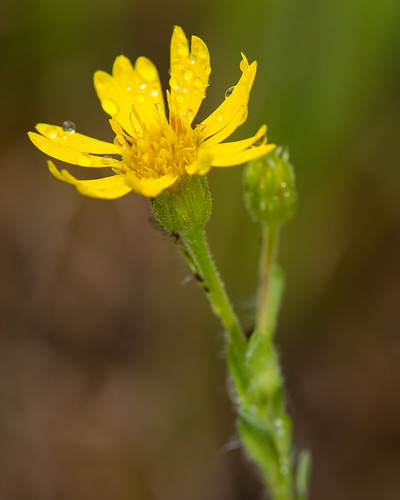
asteraceae dicots chrysopsismariana marianagoldenaster
Chrysopsis mariana (Mariana goldenaster)
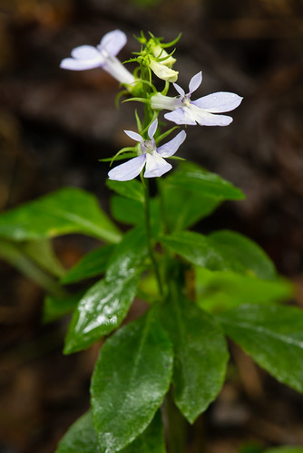
campanulaceae dicots lobeliapuberula downylobelia
Lobelia puberula (Downy Lobelia)
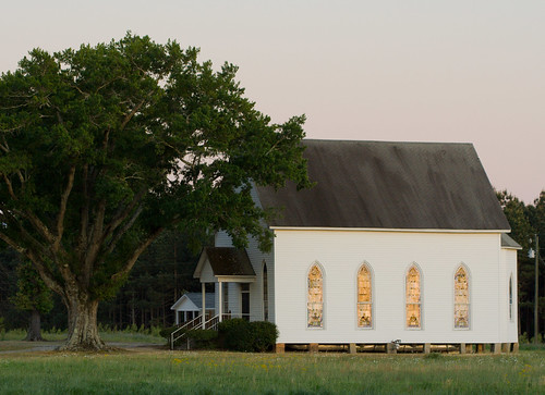
white building tree church landscape southcarolina 100mm joanna saintboniface
Beautiful Façade
Sumter National Forest - SC - 2014
asteraceae liatrisspicata denseblazingstar dicots densegayfeather
Liatris spicata (Dense blazing star)
asteraceae fireweed dicots erechtiteshieracifolia americanburnweed erechtiteshieraciifolius
Erechtites hieraciifolius (Fireweed)
flickrandroidapp:filter=none
Whitmire, South Carolina
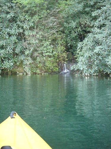
lake kayaking carolina paddling jocassee
Small Waterfall
cemetery southcarolina laurenscounty sardischurch
Sardis Church Road
cemetery southcarolina laurenscounty duncancreekpresbyterian
Duncan Creek Presbyterian Church
cemetery southcarolina laurenscounty sardischurch
Sardis Church Cemetery
asteraceae fireweed dicots erechtiteshieracifolia americanburnweed erechtiteshieraciifolius
Erechtites hieraciifolius (Fireweed)