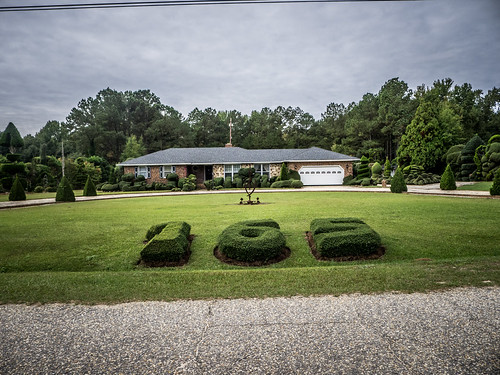
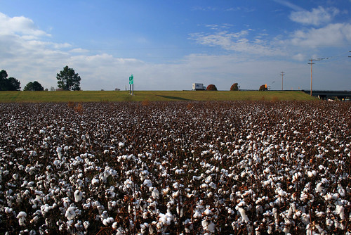
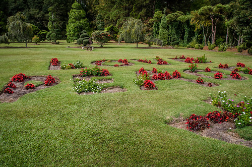
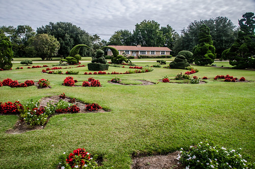
Elevation of Stokes Bridge Rd W, Bishopville, SC, USA
Location: United States > South Carolina > Lee County >
Longitude: -80.318416
Latitude: 34.2769977
Elevation: 110m / 361feet
Barometric Pressure: 100KPa
Related Photos:
Topographic Map of Stokes Bridge Rd W, Bishopville, SC, USA
Find elevation by address:

Places near Stokes Bridge Rd W, Bishopville, SC, USA:
Old Stagecoach Rd, Bethune, SC, USA
Bishopville
Hartsville Hwy, Bishopville, SC, USA
625 Egypt Rd
Bethune
Rose Hill Plantation Cemetery
Lee County
Cassatt
2512 Us-1
Antioch Rd, Camden, SC, USA
W Old Camden Rd, Hartsville, SC, USA
1560 State Rd S-28-90
US-15, Sumter, SC, USA
2512 Porter Rd
19 E Pine Ave, McBee, SC, USA
Mcbee
Black River Rd, Rembert, SC, USA
Westbury Mill Rd, Sumter, SC, USA
State Rd S-28-26, Cassatt, SC, USA
Live Oak Road
Recent Searches:
- Elevation of Corso Fratelli Cairoli, 35, Macerata MC, Italy
- Elevation of Tallevast Rd, Sarasota, FL, USA
- Elevation of 4th St E, Sonoma, CA, USA
- Elevation of Black Hollow Rd, Pennsdale, PA, USA
- Elevation of Oakland Ave, Williamsport, PA, USA
- Elevation of Pedrógão Grande, Portugal
- Elevation of Klee Dr, Martinsburg, WV, USA
- Elevation of Via Roma, Pieranica CR, Italy
- Elevation of Tavkvetili Mountain, Georgia
- Elevation of Hartfords Bluff Cir, Mt Pleasant, SC, USA
