Elevation of Live Oak Road, Live Oak Rd, South Carolina, USA

Location: United States > South Carolina > Sumter County > Dalzell >

Longitude: -80.432901

Latitude: 34.0688171

Elevation: 93m / 305feet

Barometric Pressure: 100KPa

Elevation Map:

elevation map of Live Oak Road, Live Oak Rd, South Carolina, USA

Satellite Map:

Satellite map of Live Oak Road, Live Oak Rd, South Carolina, USA

Related Photos:

fun parade rural sc carolina boykin hoorahs party goofy annual drizzle mist colorful camera view scenery peoplewatching makingitgrow hats headdress top decorated smiles usc
John and Sean
boykin sc carolina kershaw county rural xmas parade street dull dark mist weather redneck sumter festival holiday winter roja usc
view of Boykin, damp & cloudy
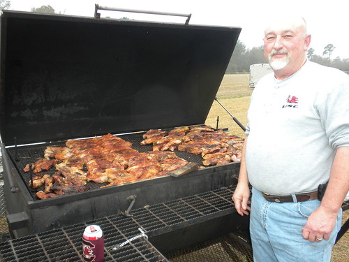
sc carolina fun sunday drizzly kershaw meat grill gamecocks usc chicken ribs hot spice tasty delicious carnivory man camera scene view party goofy annual drizzle mist colorful scenery peoplewatching
excellent stuff
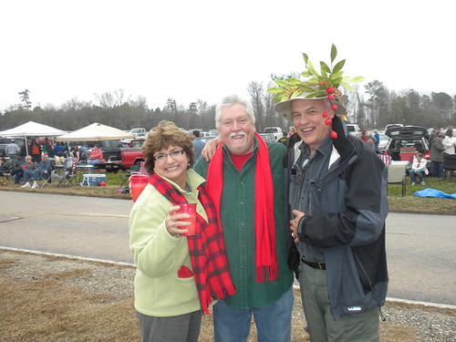
fun parade rural sc carolina boykin hoorahs party goofy annual drizzle mist colorful camera view scenery peoplewatching xmas rednecky rednecks hooraw booze tailgate roja usc
Martha, Steve, and John
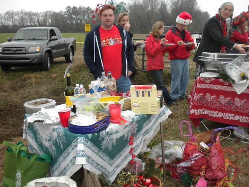
fun parade rural sc carolina boykin hoorahs party goofy annual drizzle mist colorful camera view scenery peoplewatching winter xmas redecks rednecky sumter kershaw boys girls noisy blabber sky cloudy weather festival roja usc
lots of food
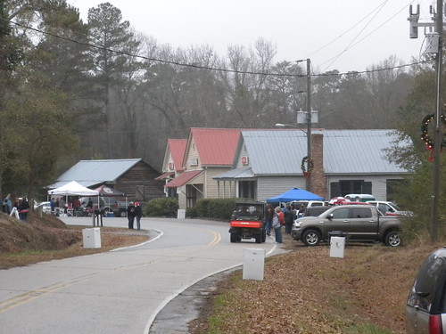
boykin sc carolina kershaw county rural church tree pine town street cars wintry usc
view of Boykin from the east
shed outbuilding farmbuilding chinaberrytree leecountysc
05JAN12: out building
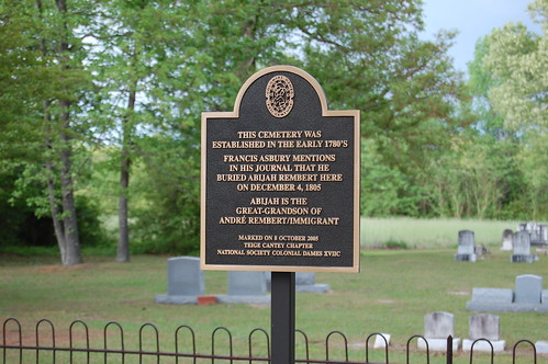
church cemetery southcarolina leecounty rembert historialplaces duesth
Front View of Rembert Church
church southcarolina leecounty cemtery rembert historialplaces duesth
Marker for Rembert Church
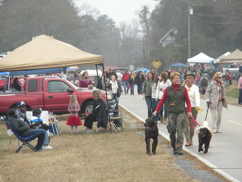
sc carolina fun sunday drizzly kershaw fog mist autumn dogs tailgate tent 35 party goofy annual drizzle colorful camera view scenery peoplewatching usc
pre-parade
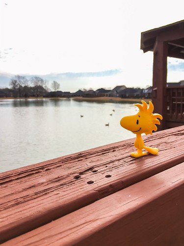
woodstock peanuts snoopy kimwrightphotography photography photographysouls photographyislife photographyeveryday outdoorphotography usaprimeshot nature naturetrails naturefreak
I like this view
instagramapp square squareformat iphoneography uploaded:by=instagram
Current eclipse view, scumtown, south carolina... #godownsouth #theysaid #eclipse #shawafb #shawaafb #eclipse2017 #sumter #sc #eclipseglasses #nofilter
church cemetery southcarolina leecounty rembert historialplaces duesth
Side View of Church
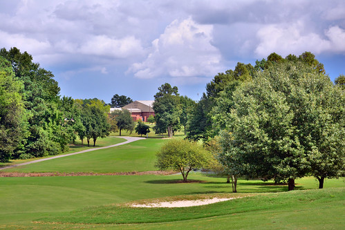
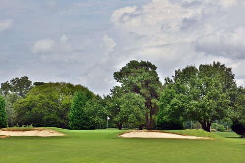
travel green golf outdoors sand force hole air south sunny golfing carolina clubs putting shaw carts tee base traps golfball
Carolina Lakes
travel green golf outdoors sand force hole air south sunny golfing carolina clubs putting shaw carts tee base traps golfball
Carolina Lakes
travel green golf outdoors sand force hole air south sunny golfing carolina clubs putting shaw carts tee base traps golfball
Carolina Lakes
blackandwhite bw mushroom blackwhite toadstools
Black & White pic of a neat looking mushroom
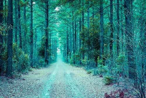
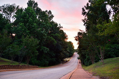
path road trees green cloudy street art
Into the woods
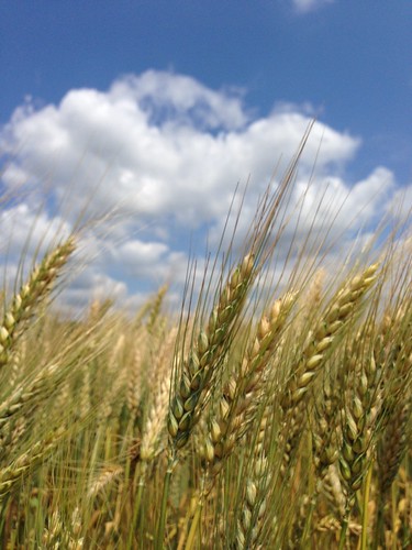
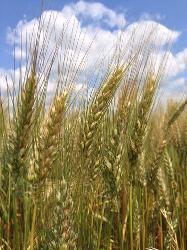
wheat bluesky dubose bigwhitecloud
Matured Wheat
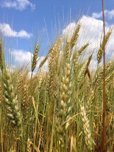
clouds wheat bluesky dubose
Almost mature wheat
life wild beauty birds landscape nikon south awesome carolina egret d7100
Shaw AFB Housing
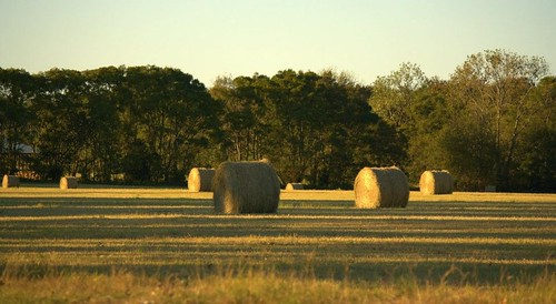
field countryroad haybails
Hay bails in a field on a rural country road.
clouds wheat bluesky dubose
Almost fully brown wheat
airplanes airshow phantom f4 5551 shawfest2005airshow
F4 Phantom
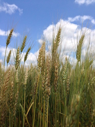
clouds wheat bluesky dubose
Wheat against a blue sky
fields countryroad haybails
Hay bails in a field on a rural country road.
lake silhouette
Fishin' Buddies 1
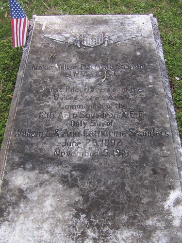
church cemetery southcarolina worldwari veteran episcopal churchoftheholycross rammedearth stateburg pisedeterre williamharrisonsaunders
Major William Harrison Saunders
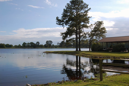
water southcarolina lilypad bishopville lakeashwood
Lake Ashwood
field countryroad haybails
Hay bails in a field on a rural country road.
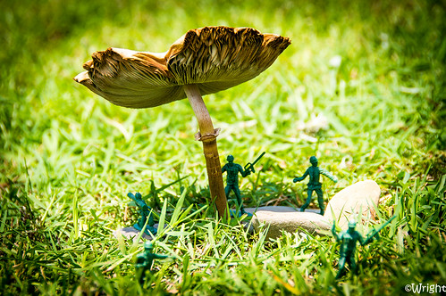
mushroom grass mushrooms army rocks toadstools playingwar plasticarmymen
Keeping the enemy away
trees dubose wheatfield
Wheat Field
snow tree field forest landscape ground
Snowy Landscape
water pond
Morning Walk