Elevation of Stisted Rd S, Sprucedale, ON P0A 1Y0, Canada

Location: Canada > Ontario > Parry Sound District > Mcmurrich/monteith > Sprucedale >

Longitude: -79.459778

Latitude: 45.4746824

Elevation: 353m / 1158feet

Barometric Pressure: 97KPa

Elevation Map:

elevation map of Stisted Rd S, Sprucedale, ON P0A 1Y0, Canada

Satellite Map:

Satellite map of Stisted Rd S, Sprucedale, ON P0A 1Y0, Canada

Related Photos:

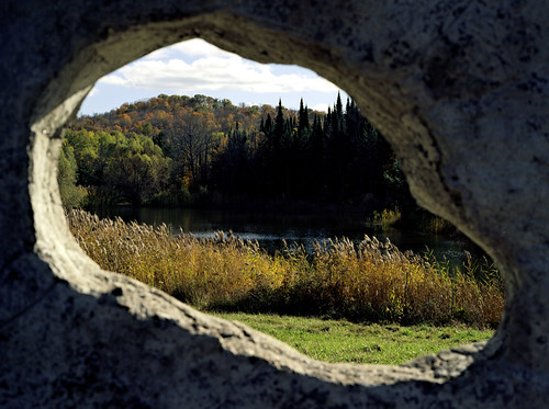
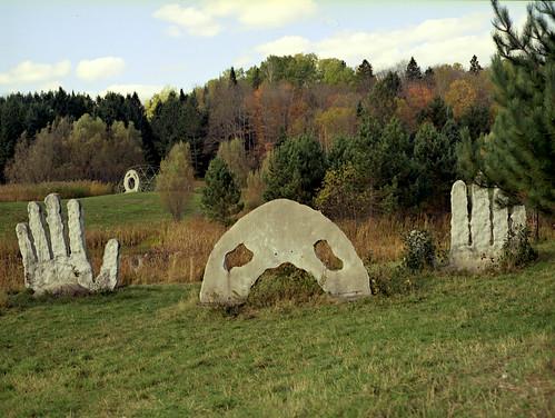
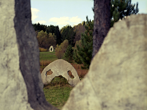
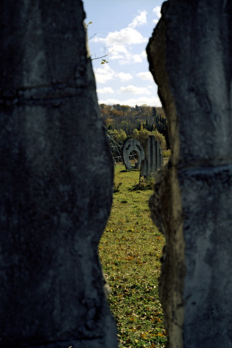
ontario canada colour mamiya film nature analog mediumformat landscapes scenery kodak places genre burksfalls m645 screamingheads ektar100
Through An Eye
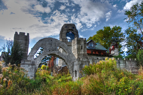
spooky geocache hdr volume0 93793499n00
Spooky House - Front Gate
Lot 658 view
ontario canada bicycling cycling trails biking multiuse parrysounddistrict parktopark seguintrail
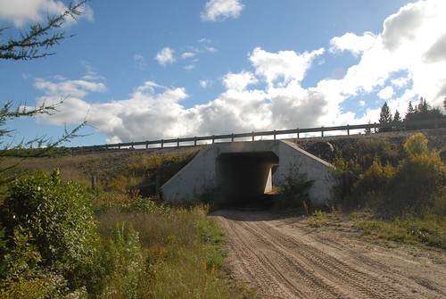
West side of Hwy 11 viewed southerly from the Seguin Trail at their crossing south of Emsdale Rd
ontario canada bicycling cycling trails biking multiuse parrysounddistrict perrytownship parktopark seguintrail almaquinhighlands
Seguin Trail at Hwy 11 crossing S. of Emsdale Rd
ontario canada bicycling cycling trails biking multiuse parrysounddistrict perrytownship seguintrail almaquinhighlands
Seguin Trail viewed westerly on west side of Hwy 11 crossing south of Emsdale Rd
ontario canada bicycling cycling trails biking multiuse parrysounddistrict perrytownship seguintrail almaquinhighlands
OFSC Route "D" at Hwy 11 crossing S. of Emsdale Rd
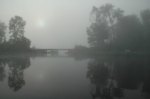
bridge deleteme5 deleteme8 mist lake canada deleteme reflection deleteme2 deleteme3 deleteme4 deleteme6 deleteme9 deleteme7 water silhouette sunrise geotagged dawn saveme saveme2 deleteme10 tranquility personalfavourite layers treeline kkmjs top60forinterestingness top50views top80views
sun disk
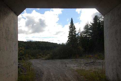
ontario canada bicycling cycling trails biking multiuse parrysounddistrict railtrails perrytownship seguintrail almaquinhighlands
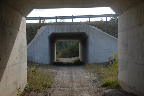
Seguin Trail?, OFSC Route "D", passing under Hwy 11 S. of Emsdale Rd. 2012-09-15
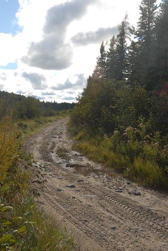
ontario canada bicycling cycling trails biking multiuse parrysounddistrict perrytownship seguintrail almaquinhighlands
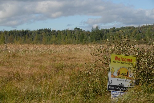
View N'ly from OFSC Route "D" just east of Hwy 11 crossing S. of Emsdale Rd
ontario canada bicycling cycling trails biking multiuse parrysounddistrict perrytownship seguintrail almaquinhighlands
Seguin Trail at Hwy 11 crossing S. of Emsdale Rd
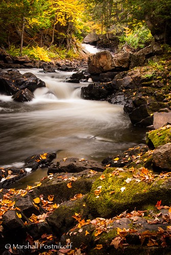
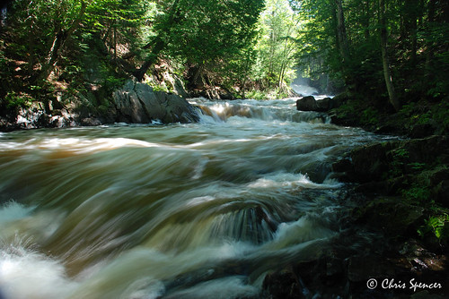
autumn ontario canada color colour fall water waterfall maple slow telephoto brooksfalls
Vibrant Flow
autumn trees ontario canada color colour tree fall colors forest colours huntsville muskoka
Autumn Reds and Falling Greens
bear camera blue ontario canada cute monster movie hoodie video jay huntsville bears attack clip sound when only movies muskoka caught videos ftw videoaward ctfxc soundjaycom
BEAR ATTACK!!!!
uploaded:by=flickrmobile flickriosapp:filter=nofilter
1,142
lake ontario canada private huntsville muskoka
A Private Lake
longexposure waterfalls
DGB Brooks Fall 2
autumn castle landscape colours midlothian
Fall 2011
ontario canada fall water waterfall scenery northamerica kearney fallcolours on brooksfalls emsdale
Brooks Falls
ontario canada colour mamiya film nature analog mediumformat landscapes scenery kodak places genre burksfalls m645 screamingheads ektar100
I Give Up
ontario canada colour mamiya film nature analog mediumformat landscapes scenery kodak places genre burksfalls m645 screamingheads ektar100
Through A Hand
ontario canada fall water waterfall scenery northamerica kearney fallcolours on brooksfalls emsdale
Brooks Falls
ontario canada colour mamiya film nature analog mediumformat landscapes scenery kodak places sculptures genre burksfalls m645 screamingheads ektar100
Another World
ontario water muskoka
Soft Water 2
DGB Brooks Falls
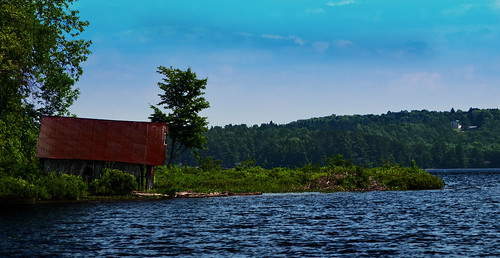
lake ontario colour water beauty memories boathouse sprucedale bucklake phiode
Buck Lake Boathouse
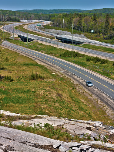
highway hwy11 highway11 centralontario
Highway 11
ontario water muskoka
Water 1
ontario waterfalls brooksfalls emsdale
Brooks Falls, Emsdale, Ontario
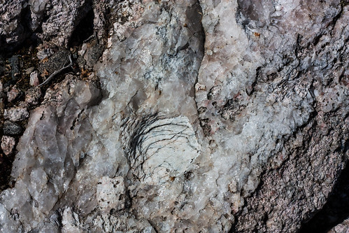
texture rock canadianshield texturedrock
Textured Rock