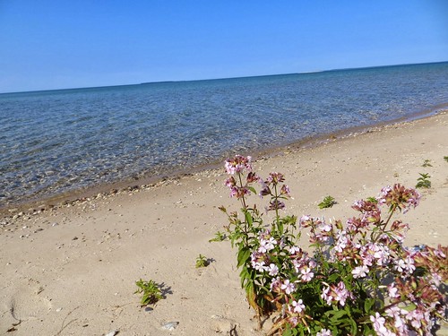
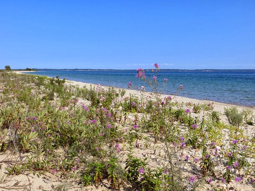
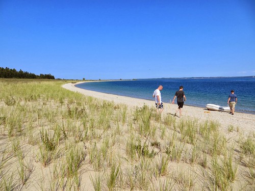
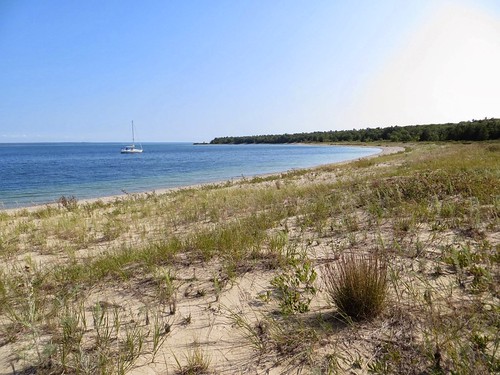
Elevation of Stephen Ct, Beaver Island, MI, USA
Location: United States > Michigan > Charlevoix County > Peaine Township > Beaver Island >
Longitude: -85.556721
Latitude: 45.7447721
Elevation: 192m / 630feet
Barometric Pressure: 99KPa
Related Photos:
Topographic Map of Stephen Ct, Beaver Island, MI, USA
Find elevation by address:

Places near Stephen Ct, Beaver Island, MI, USA:
37645 Allen's Lakeview Rd
37180 Allen's Lakeview Rd
38163 Leonard Ln
Beaver Island
St. James Township
Beaver Island
Peaine Township
27491 South End Rd
Main St, Gould City, MI, USA
Gould City
Newton Township
7801 Us-2
8000 Lake Michigan Scenic Hwy
Portage Township
1145 M-119
N Lake Shore Dr, Harbor Springs, MI, USA
Curtis
Hudson Township
County Road 468
Charlevoix Township
Recent Searches:
- Elevation of Corso Fratelli Cairoli, 35, Macerata MC, Italy
- Elevation of Tallevast Rd, Sarasota, FL, USA
- Elevation of 4th St E, Sonoma, CA, USA
- Elevation of Black Hollow Rd, Pennsdale, PA, USA
- Elevation of Oakland Ave, Williamsport, PA, USA
- Elevation of Pedrógão Grande, Portugal
- Elevation of Klee Dr, Martinsburg, WV, USA
- Elevation of Via Roma, Pieranica CR, Italy
- Elevation of Tavkvetili Mountain, Georgia
- Elevation of Hartfords Bluff Cir, Mt Pleasant, SC, USA
