Elevation of Allen's Lakeview Rd, Beaver Island, MI, USA
Location: United States > Michigan > Charlevoix County > Peaine Township > Beaver Island >
Longitude: -85.557178
Latitude: 45.735281
Elevation: 189m / 620feet
Barometric Pressure: 99KPa
Elevation Map:
Satellite Map:
Related Photos:

Milky Way on the beach
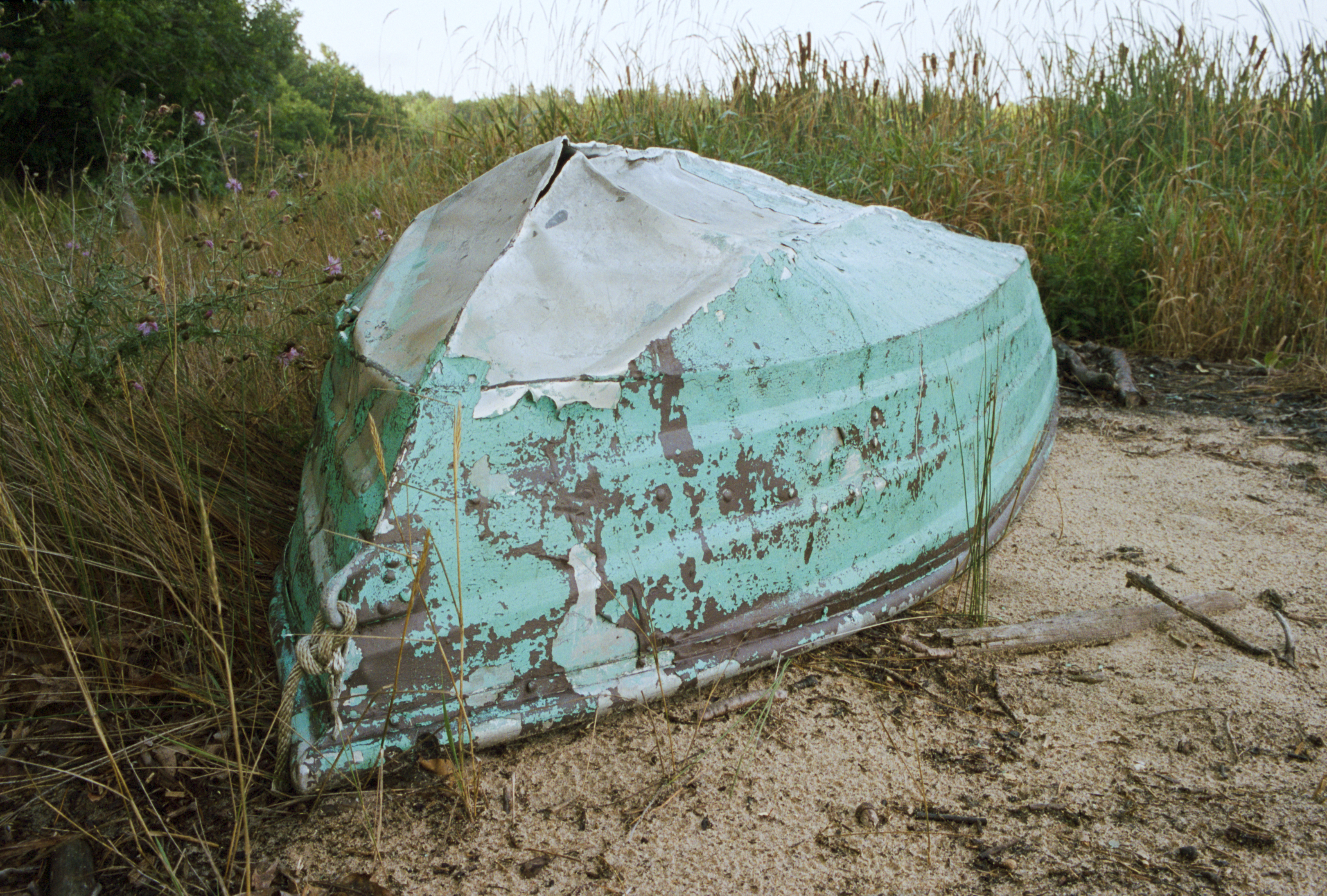
Not Seaworthy
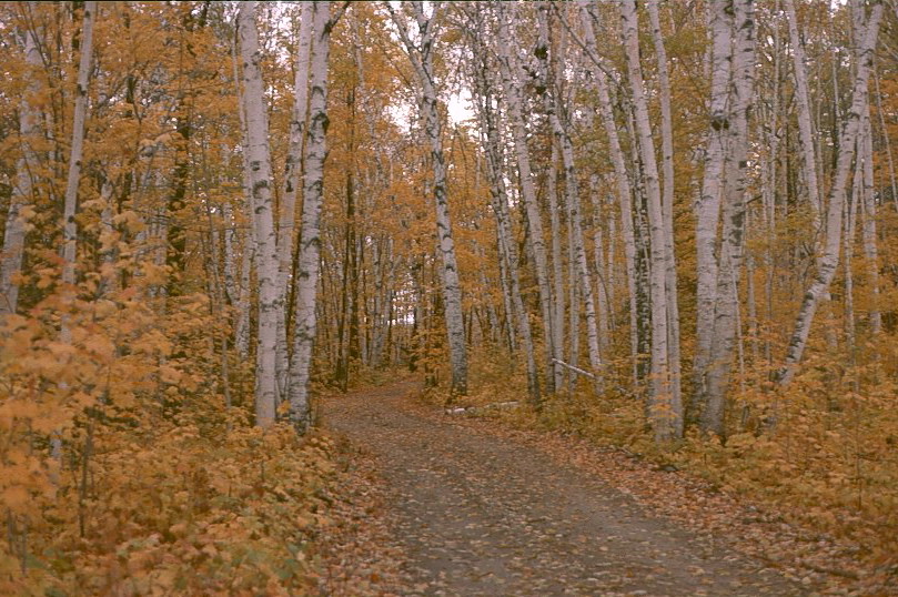
Fall Birch
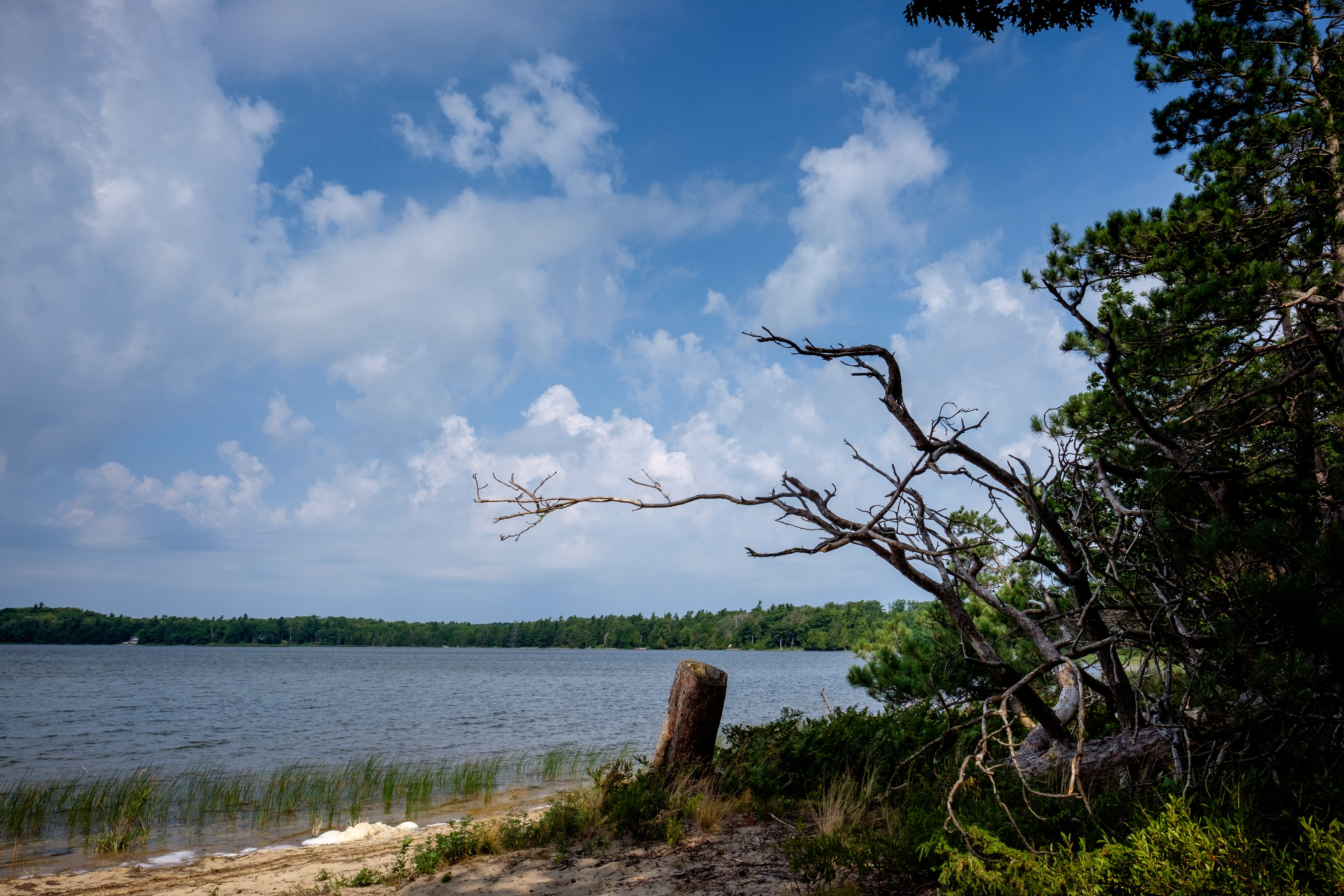
Little Sand Bay Preserve Beaver Island
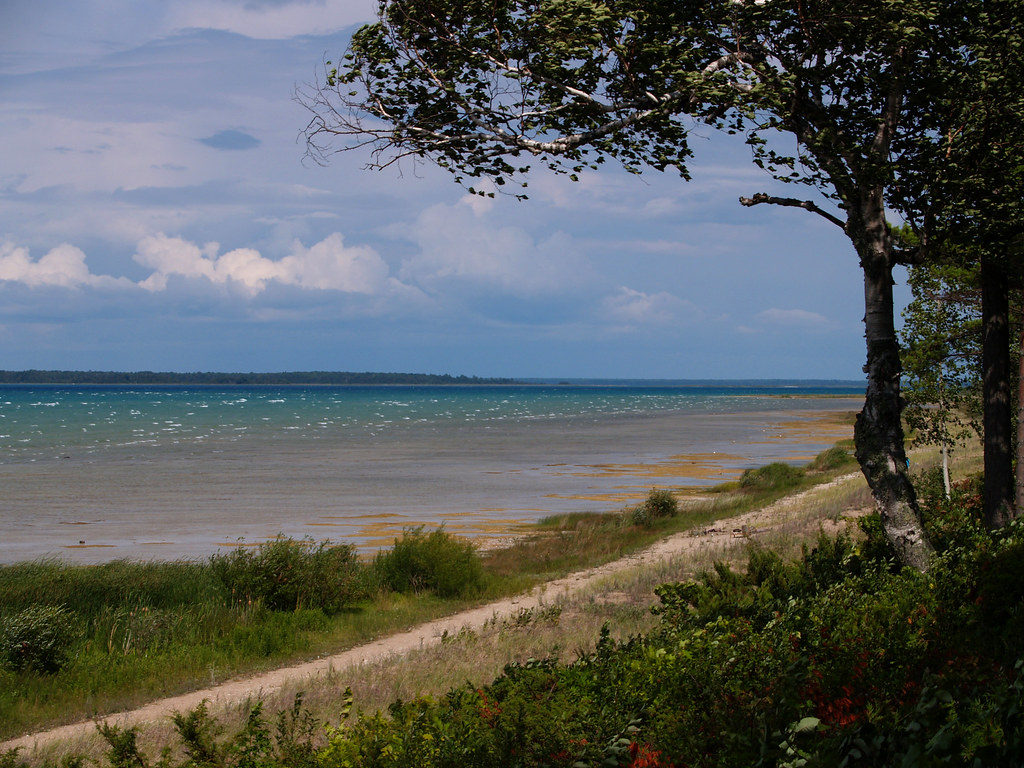
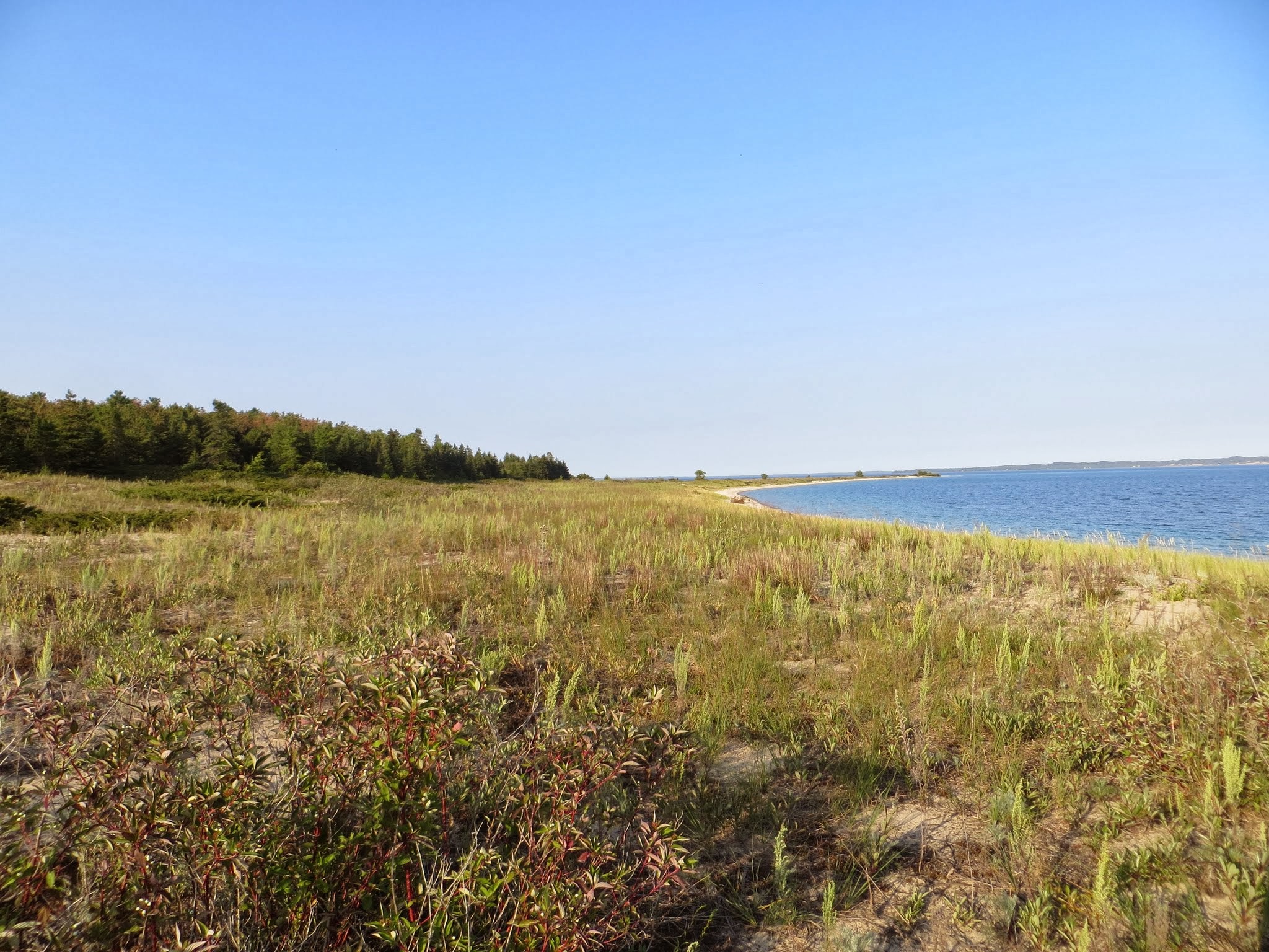
Lake Michigan

Playground Equipment
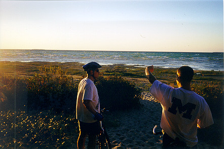
Beaver Island

Beaver Island, MI - GOPR3540
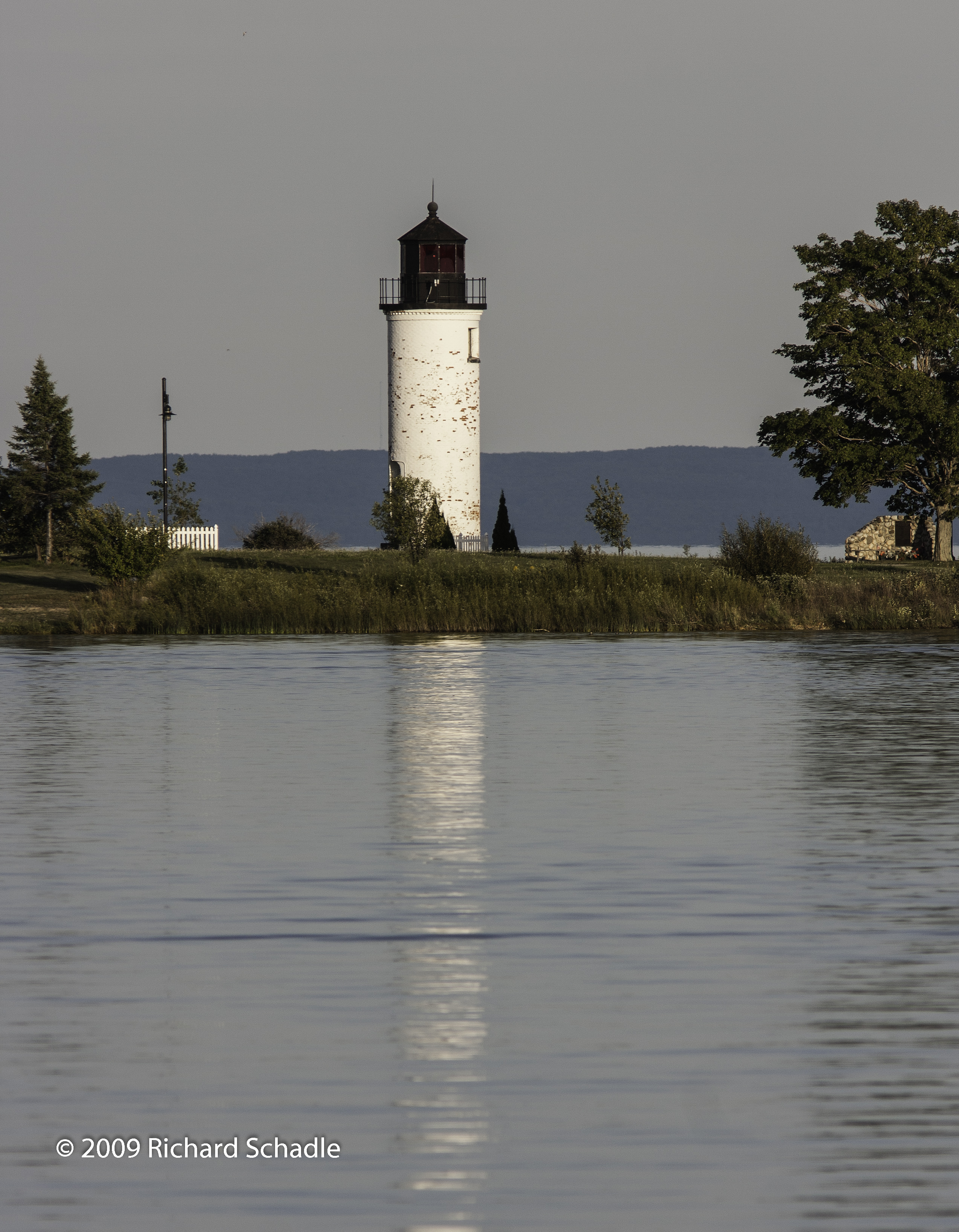
Beaver Island Harbor Lighthouse Michigan_1_wm
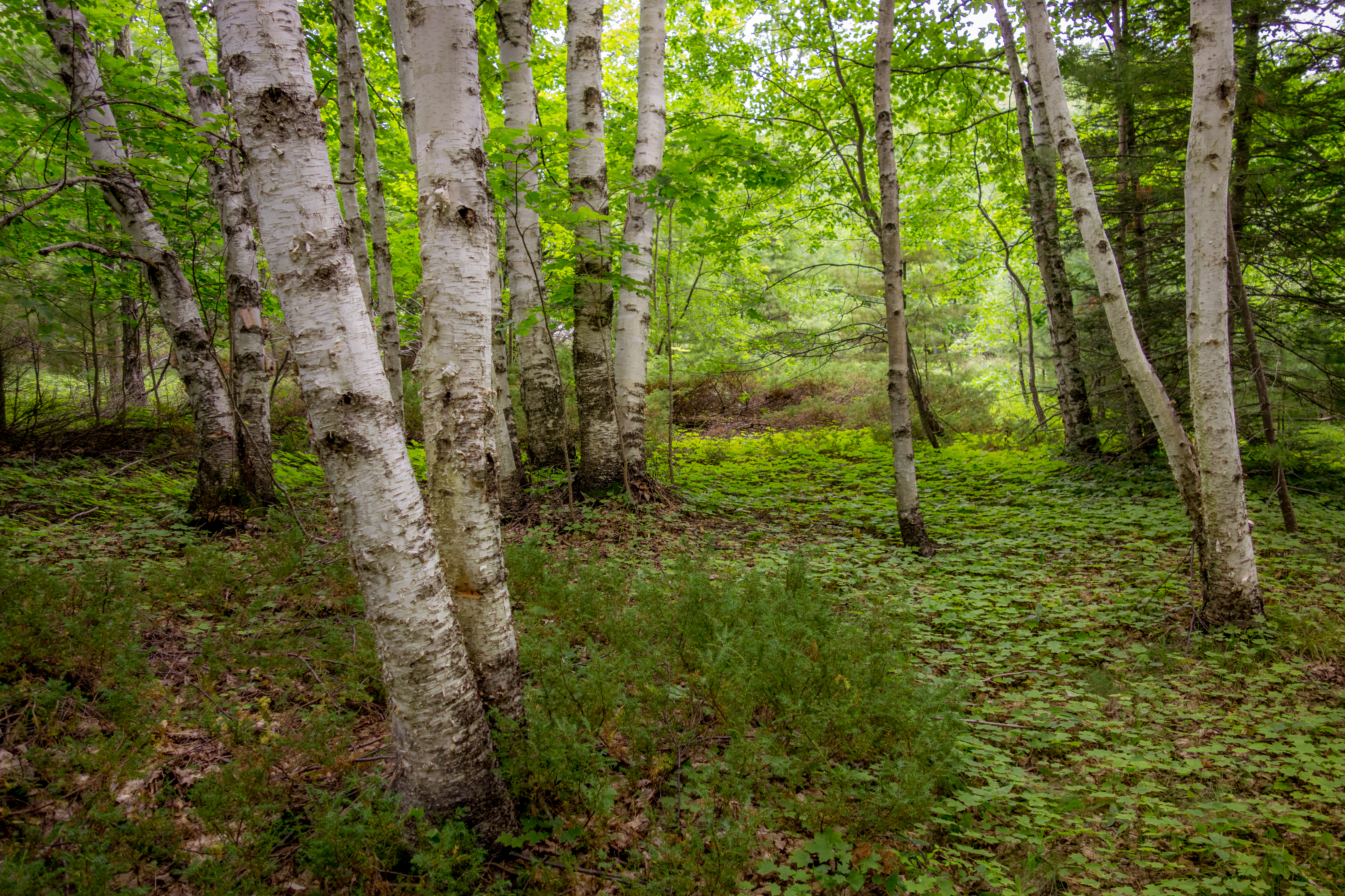
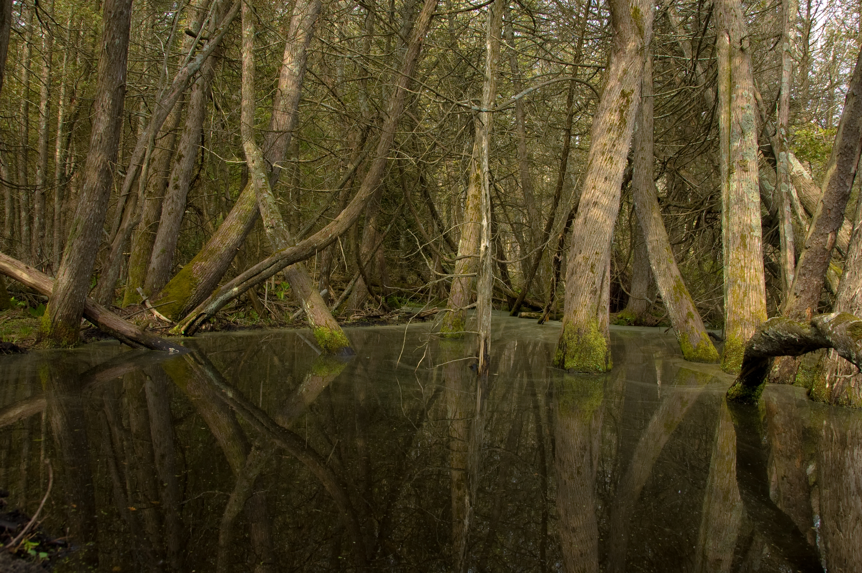
Birch Forest
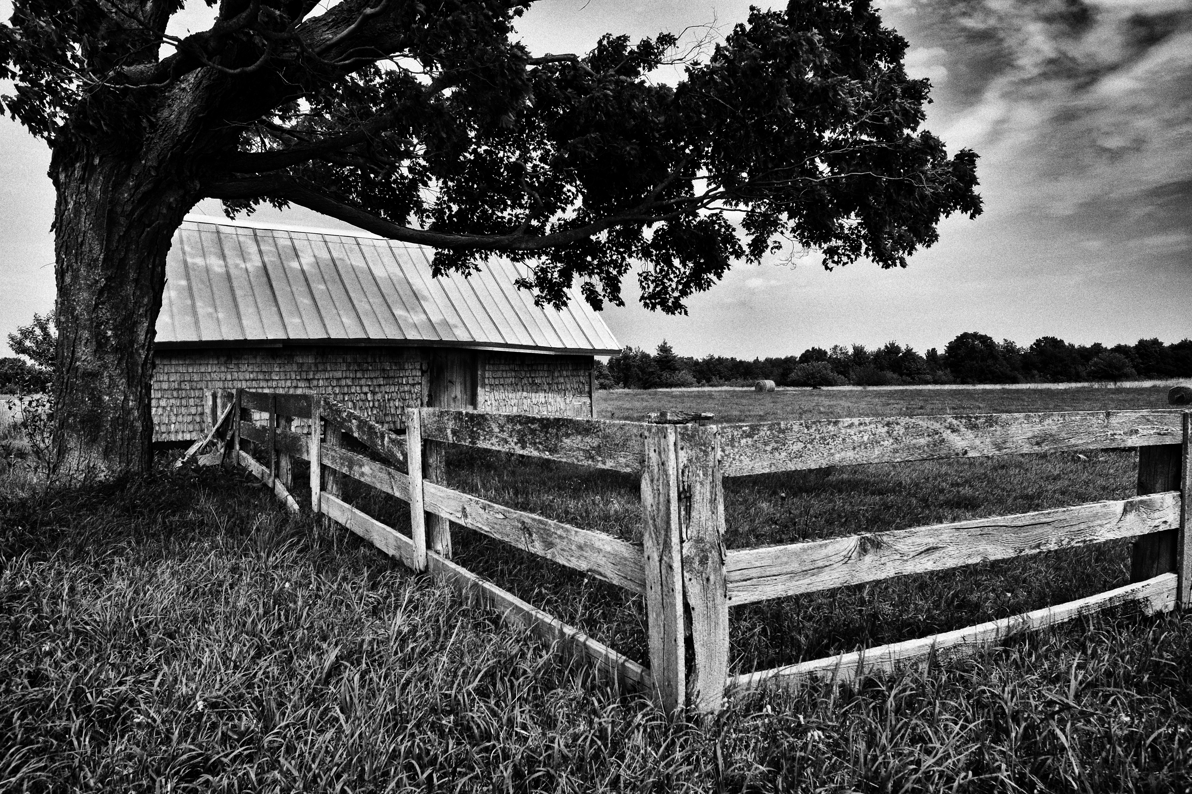
Farm Scene

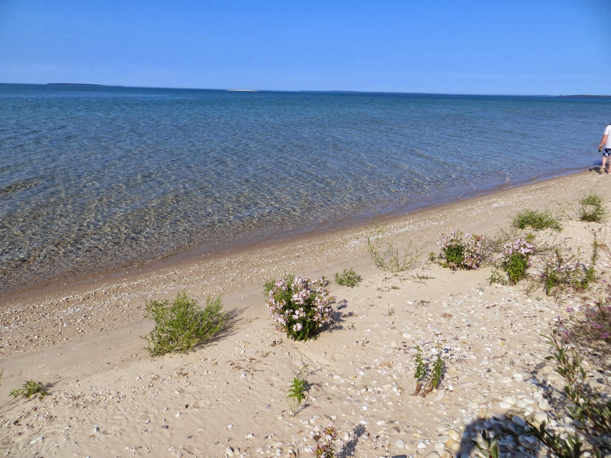
Lake Michigan Sand
Font Lake

Donegal Bay

IMG_2356.JPG
IMG_2310.JPG

IMG_2307.JPG

IMG_2304.JPG

IMG_2303.JPG
IMG_2301.JPG
IMG_2296.JPG
Topographic Map of Allen's Lakeview Rd, Beaver Island, MI, USA
Find elevation by address:

Places near Allen's Lakeview Rd, Beaver Island, MI, USA:
37645 Allen's Lakeview Rd
28007 Stephen Ct
38163 Leonard Ln
Beaver Island
St. James Township
Beaver Island
Peaine Township
27491 South End Rd
Main St, Gould City, MI, USA
Gould City
Newton Township
7801 Us-2
8000 Lake Michigan Scenic Hwy
1145 M-119
Portage Township
N Lake Shore Dr, Harbor Springs, MI, USA
Charlevoix Township
Hudson Township
Curtis
12525 Pineridge Dr
Recent Searches:
- Elevation of Corso Fratelli Cairoli, 35, Macerata MC, Italy
- Elevation of Tallevast Rd, Sarasota, FL, USA
- Elevation of 4th St E, Sonoma, CA, USA
- Elevation of Black Hollow Rd, Pennsdale, PA, USA
- Elevation of Oakland Ave, Williamsport, PA, USA
- Elevation of Pedrógão Grande, Portugal
- Elevation of Klee Dr, Martinsburg, WV, USA
- Elevation of Via Roma, Pieranica CR, Italy
- Elevation of Tavkvetili Mountain, Georgia
- Elevation of Hartfords Bluff Cir, Mt Pleasant, SC, USA