Elevation of Stefanesti, Romania
Location: Romania > Botoșani County >
Longitude: 27.1929573
Latitude: 47.7931853
Elevation: 70m / 230feet
Barometric Pressure: 100KPa
Elevation Map:
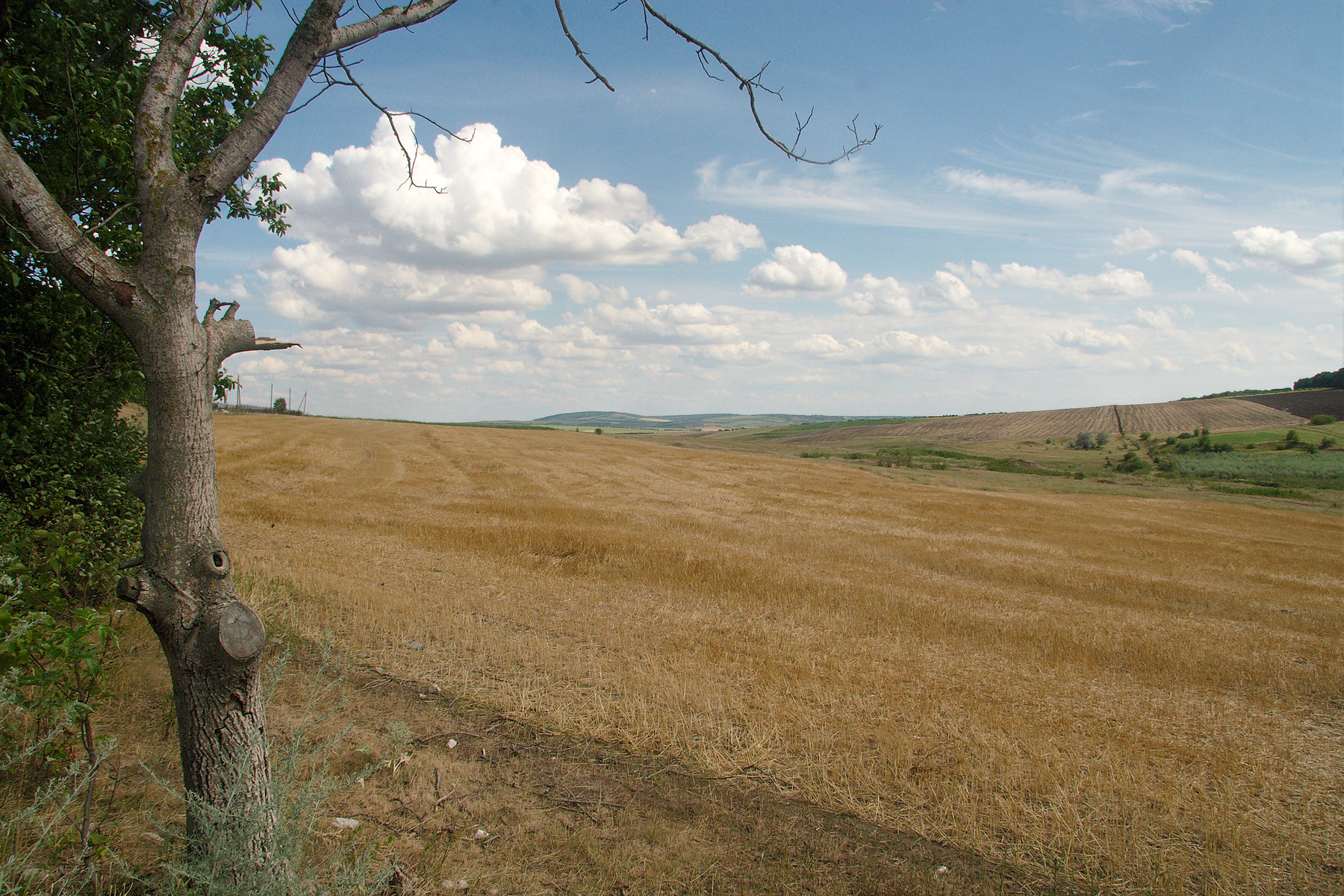
Satellite Map:
Related Photos:

Village Malaiesti (1980).

Ciuhur (1980).

The river Ciuhur (1985).

The river Ciuhur (1980).

2012-07-17!063425r

2012-07-17!063402r

2012-07-17!063432r

2012-07-17!063427r

2012-07-17!063406r
2012-07-17!063407r
Topographic Map of Stefanesti, Romania
Find elevation by address:

Places in Stefanesti, Romania:
Places near Stefanesti, Romania:
Ștefănești
Albesti
Trușești
Trusesti
Flamanzi
Flămânzi
Iași County
Miroslava
Balti
Miroslava
Balti
Iași Metropolitan Area
Iași
Valea Adâncă
Manta Roşie
Dj248c 426
Ion Creangă
Valea Ursului
Valea Ursului
Emil Racoviță
Recent Searches:
- Elevation of Corso Fratelli Cairoli, 35, Macerata MC, Italy
- Elevation of Tallevast Rd, Sarasota, FL, USA
- Elevation of 4th St E, Sonoma, CA, USA
- Elevation of Black Hollow Rd, Pennsdale, PA, USA
- Elevation of Oakland Ave, Williamsport, PA, USA
- Elevation of Pedrógão Grande, Portugal
- Elevation of Klee Dr, Martinsburg, WV, USA
- Elevation of Via Roma, Pieranica CR, Italy
- Elevation of Tavkvetili Mountain, Georgia
- Elevation of Hartfords Bluff Cir, Mt Pleasant, SC, USA