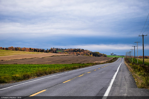
Elevation of Ste-Claire Municipalite, Rue Principale, Sainte-Claire, QC G0R 2V0, Canada
Location: Canada > Québec > Bellechasse Regional County Municipality > Sainte-claire > Sainte-claire >
Longitude: -70.865209
Latitude: 46.5983119
Elevation: 201m / 659feet
Barometric Pressure: 99KPa
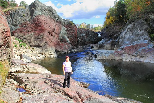
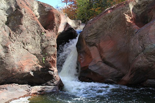
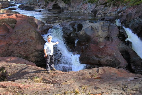
Related Photos:
Topographic Map of Ste-Claire Municipalite, Rue Principale, Sainte-Claire, QC G0R 2V0, Canada
Find elevation by address:

Places near Ste-Claire Municipalite, Rue Principale, Sainte-Claire, QC G0R 2V0, Canada:
Sainte-claire
Sainte-claire
22 Route Abénakis, Sainte-Claire, QC G0R 2V0, Canada
Honfleur
Rang Longue-Pointe, Saint-Malachie, QC G0R 3N0, Canada
Bellechasse Regional County Municipality
Route Henderson, Saint-Malachie, QC G0R 3N0, Canada
Sainte-hénédine
Saint-anselme
101 Rang De La Montagne
75 Rue Provencher, Saint-Anselme, QC G0R 2N0, Canada
Saint-gervais
Saint-gervais
Saint-anselme
Saint-malachie
Sainte-hénédine
Douces Evasions Gabrielle Corr
Saint-malachie
La Nouvelle-beauce Regional County Municipality
Saint-nérée-de-bellechasse
Recent Searches:
- Elevation of Corso Fratelli Cairoli, 35, Macerata MC, Italy
- Elevation of Tallevast Rd, Sarasota, FL, USA
- Elevation of 4th St E, Sonoma, CA, USA
- Elevation of Black Hollow Rd, Pennsdale, PA, USA
- Elevation of Oakland Ave, Williamsport, PA, USA
- Elevation of Pedrógão Grande, Portugal
- Elevation of Klee Dr, Martinsburg, WV, USA
- Elevation of Via Roma, Pieranica CR, Italy
- Elevation of Tavkvetili Mountain, Georgia
- Elevation of Hartfords Bluff Cir, Mt Pleasant, SC, USA
